
October 29. min. max. avg
Bitt 2NW valley 32.0 40.4 36.2
Garrett College 32.1 40.3 36.2
Can-Heights 28.1 42 35
CRN-Canaan 28.8 40.7 34.7
Cabin Mt 25.7 45.9 35.8
Snowshoe/S.C 25 45.9 35.5
Can-Valley Floor 29.6 41.7 35.6
Cresaptown 40.3 50 45.2
Green Bank Obs 33.1 50.3 41.7
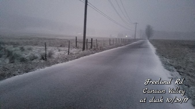
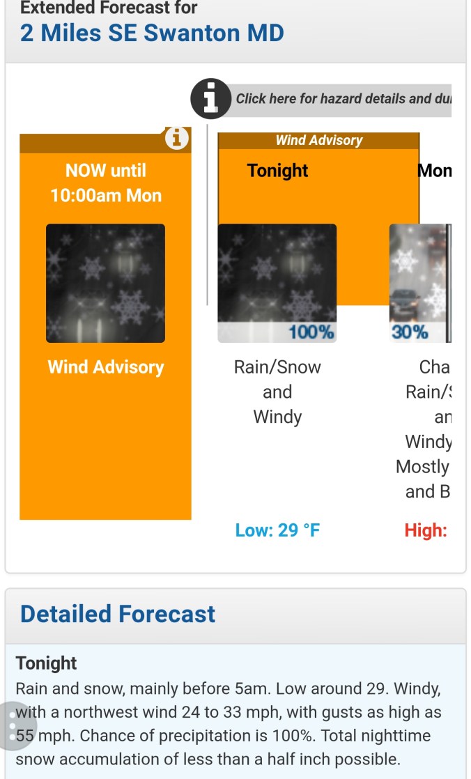
The day began on the rainy side, colder air began transitioning into the southern Alleghenies first. Snowshoe below freezing in the early morning hours as the main precip pulled away from them. Further north, high ground around Canaan went below freezing mid to late morning. A steady light drizzle and fog created a little ice on trees at the highest elevations. This occured also on Backbone Mt. Likely Cabin, Sods, Plains as well on down through high ground. Garrett, Preston, remained light drizzle. In the afternoon the Snowshoe area began to pick up light snow and the ground was coated by mid afternoon. Highland Scenic Highway was as well. Around 4-4:30 the transition occured around Canaan. Snow, snow/sleet mix to all snow at dusk. The brunt of the moisture remained in the northern Alleghenies. Garrett, Preston went to snow at nightfall and accumulations occured rapidly. Roadway conditions deteriorated rapidly and many many accident reports and road closures due to it. By midnight, the brunt of the snow had fell with remaining snowshowers before daybreak the 30th. The National Weather Service did a absolute horrible job. Calling for less than half inch as all guidance suggested otherwise. Roadways had 2-3″ of snow on them in Garrett, Preston before they put out a winter weather advisory.
Light snow, rime through high elevations from Va, Tn, Nc, Ga… Mt. Leconte a few inches of snow and 19° in the afternoon


