Feb 7. min. max. avg
Bitt 2NW valley 16.7 33.6 25.1
Garrett College 17.0 41.0 29.0
Can-Heights 18.9 40.8 29.8
CRN-Canaan 19.8 40.1 29.9
Cabin Mt 16.2 40.1 28.1
Cabin Mt north 17.4 40.1 28.8
Spruce Knob 14.5 37.0 25.7
Snowshoe/S.C 16.3 38.5 27.4
Can-Valley Floor
Cresaptown 24.5 39.6 32.0
Green Bank Obs. 24.0 38.6 31.3
7Springs 15.2 37.7 26.4
A WIDE variety of weather today within the region. From rain, freezing rain, sleet, snow. Some areas around Canaan, this was primarily a rain event until the changeover to snow mid afternoon. West side of the mts, primarily rain until mid afternoon changeover. Elsewhere, brief sleet to freezing rain, to rain. Further north, across Garrett and points north east, the wintry aspect held much longer this morning. From southern end of Negro Mt, to southern end of Meadow Mt, along those ridge lines and northeast, cold persisted and thats pretty much the classic setup in this type of event. by late morning to early afternoon these area’s crept above freezing for 2-4 hours. At Bittinger 2nw Valley, the cold layed low as winds with the changing air masses only picked up as the cold was returning. Ice hung on in spots through the window. On top the hill, the breezes with temps mid 30s knocked a fair amount of ice off the trees but not all. The temp variance was significant at times. Will touch on that again inna moment.
First accumulation. Early accumulation. .6″ snow/sleet(mainly sleet) feeezing rain combo. Then the rain spell and then .7″ snow through 5:30pm 1.3″ total on the day 81.8″ on the season
ice amounts up to .3″ on branches


Canaan Heights .7″ snow this afternoon. 95.1 on the season
The crazy temps, in which 3km nam does very well at


Temps east to west across Garrett along I-68 was a large contrast through the morning


The area that holds cold the longest in this setup and routinely does the best(or worse) with freezing rain is Big Savage Mt. No different today. Temps held below freezing until the early afternoon.


Look at Bittinger 2nw Valley, Cabin Mt 4350 as well as series of national temps today


Radar images from today as well as a few gauges in the area. Most stations ran .8 to 1.5 liquid today.
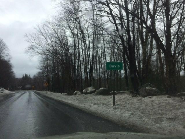
Some area creeks and rivers saw a nice rise. Especially the areas that saw less in the way of freezing. A pretty good jump in flow on the Blackwater at Davis.


Frostburg at 12 noon. Cold air holding. As 3km nam illustrated nicely. 3pm temps up, ice coming off trees. 3km nam shown that nicely as well


Pic from Davis this morning on a wet dreary morning