


Feb 11. min. max. avg
Bitt 2NW valley 33.5 53.1 43.3
Garrett College 41.0 56.8 48.9
Can-Heights 40.8 52.8 46.8
CRN-Canaan 39.3 54.8 47.1
Cabin Mt 38.7 50.4 44.6
Cabin Mt north 38.3 52.0 45.2
Spruce Knob 42.1 48.9 45.5
Snowshoe/S.C 43.5 50.4 47.0
Can-Valley Floor
Cresaptown 35.6 50.4 43.0
Green Bank Obs 33.4 54.5 43.9
7Springs 34.7 57.7 46.2
cloudy, rainy, calm through early afternoon, skies broke, light breezes kicked in. Valleys holding colder through temp recording times. But as wind kicked up after dark, I think we’ll see a spike in numbers before colder air returns overnight. Minor creek flooding from snowmelt, and rainfall totals .5 to 1.5 north, with isolated higher south.
Temps at Bittinger 2nw Valley, experimental spot and Cabin Mt 4350. As well as the look at temps on temps national map this afternoon


Final numbers at Bittinger 2nw Valley and experimental spot. Good example of why those sheltered high elevation low spots hold onto snow longest.


Pic by Vernon Patterson at Blackwater Falls today
Pics by Rosanna Springston at Falls of Hills Creek and Cranberry area…


Pics by Jeremy Cutlip around Bath/Pocahontas Counties


Pic by Ryan Maurer posted on West Virginia Waterfall facebook page. Pic at lower falls at Falls of Hills Creek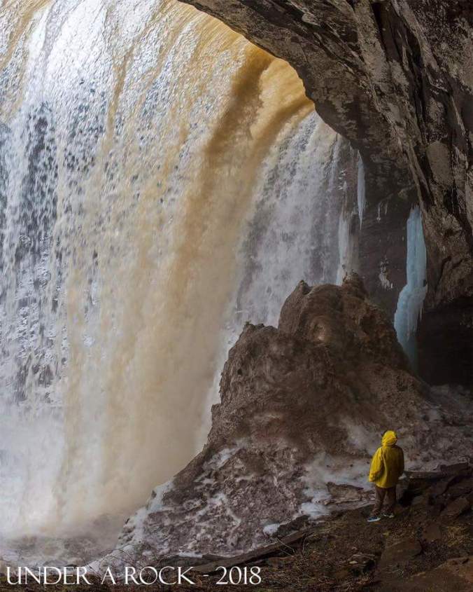
Some river data in the region, and radar estimated rain totals.


Radar snippets today


Past 90 day temps since mid November
