Northern Garrett Cam facing east, glazed over and then snowed over, not much to see on it today.
Canaan really missing out on the action today. Light glaze, little sleet
Frostburg State University in the heart of todays action


March 20. min. max. avg
Bitt 2NW valley 22.7 37.7 30.2
Garrett College 22.9 38.8 30.8
Can-Heights 21.6 37.5 29.5
CRN-Canaan 23.4 40.0 31.7
Cabin Mt 18.9 35.2 27.0
Cabin Mt north no data
Spruce Knob no data
Snowshoe/S.C 24.4 36.9 30.5
Can-Valley Floor 22.7 40.5 31.6
Cresaptown 30.8 45.3 38.0
Green Bank Obs 28.4 44.6 36.5
7Springs 24.5 37.5 31.0
A day where huge differences occured across some tight gradients. From heavy snow, to a light mix and mostly nothing. I began briefly with a light glaze, brief sleet to heavy periods of snow. From 8:30 to 10:30 over 4″ fell
Snowfall Bittinger 2NW valley 5.8 through 1pm, 1.8″ from 1pm through 6pm. Total 7.6″ today. 127.9″ on the season.
Video from near Bittinger this a.m
Daily snippets


Snow falling across western Md, Garrett through Washington County as well as that heavy band moving up into southern Pa. Further south, Allegheny front and east seeing much action than west of the front.
Radar today, snow avoiding some areas like the plague, while building elsewhere. Large differnce northern Garrett to southern Garrett
Temp profile this afternoon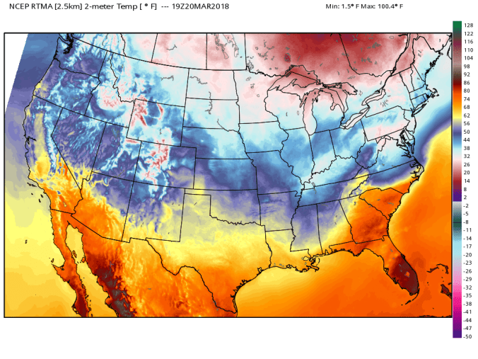
ROUND 2 TONIGHT/TOMORROW
Overnight into tomorrow, round 2 develops. In general this looks like a widespread 4-8″ snowfall with areas that get into banding running 10-12″. Overnight, this area looks to be of high potential to see some of those heavy rates. 
Tomorrow early morning to early afternoon that looks to trend north. This is still a bit questionable with some discrepancy in model output, but this area I think is the area to watch for some heavier rates. Always a tough call when the energy is transferred to the coast. The NW edge will loose oomph. 
3km Nam run for tonight, tomorrow
Further ahead, models showing potential for a significant system the weekend affecting the southern Alleghenies. Until this current system clears, I don’t think the models will handle track of that real well. Will post on this more tomorrow.
As always, lots of time, and effort go into this page and the Facebook page with updates. A free service, but if you would like to contribute, feel free to at
https://www.paypal.me/AlleghenyMts
Thank you.
