March 5. min. max. avg
Bitt 2NW valley 12.0
Garrett College 15.6 38.6 27.1
Can-Heights 9.2 34.6 21.9
CRN- Canaan 10.9 36.6 23.8
Cabin Mt 11.5 33.1 22.3
Cabin Mt north 11.7 34.3 23.0
Spruce Knob 10.0 41.2 25.6
Snowshoe/S.C 16.0 34.3 25.1
Can-Valley Floor
Cresaptown 20.9 50.6 35.5
Green Bank Obs 17.8 47.1 32.4
7Springs 17.5 36.5 27.0
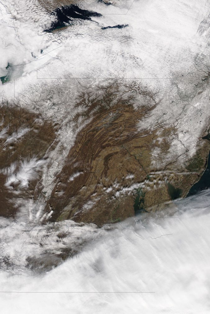
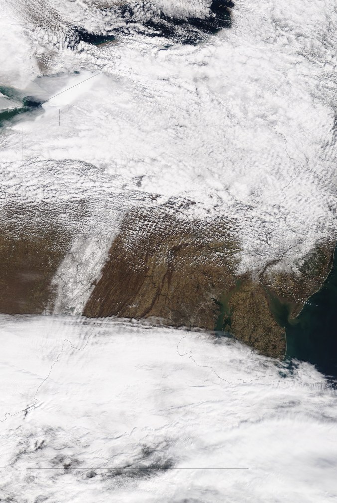
Mainly clear and a very cold start in areas….wooded aread, north facing slopes holding snow coat yet..light breezes, very dry air.
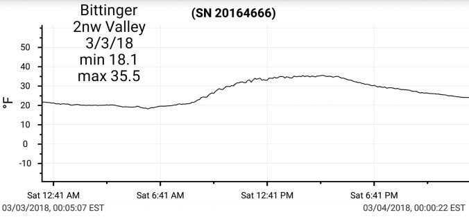
Temps today at Bittinger 2nw Valley(through 2pm) , Cabin Mt 4350 and low temp at The Glades bottoming out at 7.3° and national temp profile
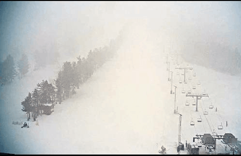
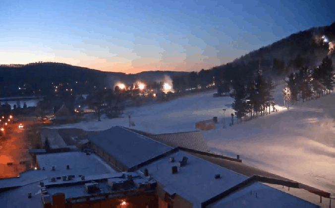
Wisp this morning
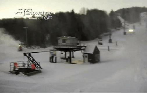
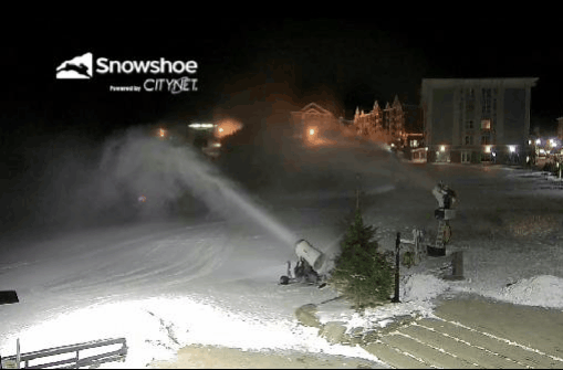
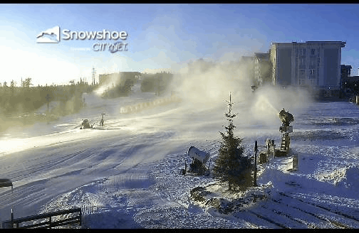
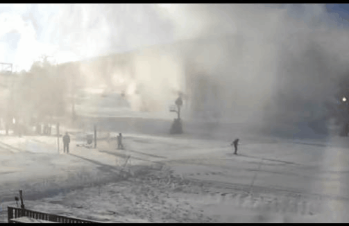
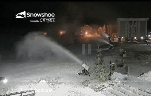
Snowshoe this morning and stillshot 10:30pm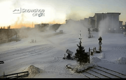

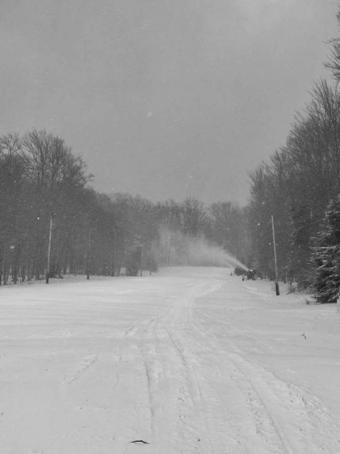
Timberline this morning
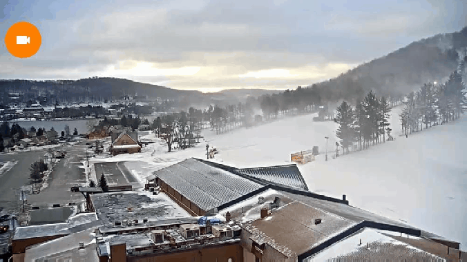
7Springs this morning
ON THE MODELS
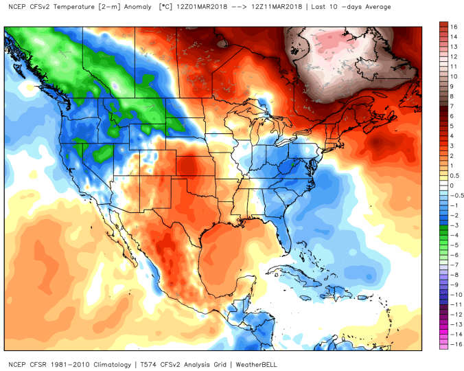
18z 3km NAM modeled temps from current through Thursday a.m. This model excels with tomorrow’s setup. Temps holding at or below freezing in north central Garrett and points north and east as well as areas of the southern Alleghenies. The just ever so slightl above freezing air pushes into Tucker. This is accompanied by very light precip that may put down a trace of ice in spots tomorrow. Therefter into Wednesday, we start to talk snow.

18z GFS .. Snow opportunity Wednesday, Thursday, Friday, and Gfs operational at 12z and 18z trended south with Sunday event. Operational models will waffle each and every run. 18z was further northwest. GFS ensembles actually look better tonight for the event vs last night. Wednesday a.m through Friday snow totals look to run in the 5-10″ range with pops to 12″ in favorable areas. Those being the favored upslope spots, and especially northern Alleghenies. I’d expect possible school delays mid to late week. 
Amounts off the 18z GFS. Thats Wednesday morning, then Thursday morning, Friday morning, Saturday morning(these are running totals) then hopping to next Tuesday with the 18z GFS op with big system affecting southern Alleghenies. I do think that will trend NW.
12z ECMWF… Similiar to GFS. (Wednesday areas below 2500-2800′ may struggle to accumulate in afternoon). Amounts overall look similiar through Saturday a.m
Snowfall off 12z ECMWF, Wednesday morning, Thursday morning, Friday morning, Saturday morning and a jump to Tuesday. ECMWF quicker moving, and weaker with the big event at 12z after a monster at 0z.
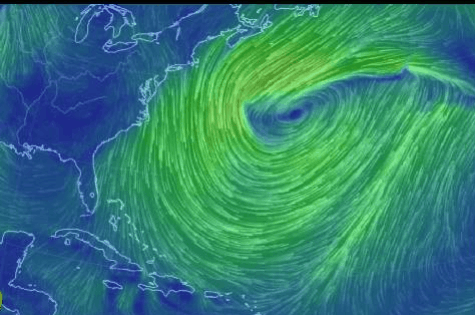
The big system. Despite what the operational models did today, I still really like the setup. I think it does occur and we will be talking 100-150 miles this way or that way to say who gets it. The pattern to me argues a further NW trend vs what operational models did today.
Deep trough off west coast, amping the western Ridge, should allow phasing and a pullback further west than todays runs. I like the Tenn/Alabama border to Delmarva track currently. With widespread snow shield north.
12z ECMWF ensemble/control low locations…lots of members Sunday night on the north side yet. Overall mean has trended SE a tad on the ensembles, the control had the most significant difference. Will look for trends tonight on the new run.
Watching the steering wheel. How this digs, and progresses will direct the low more NE or ENE. Subtle differences from 0z to 12z ECMWF op run.
That PNA popping positive, is a good thing to turn it north. Will it be enough, time will tell. Does the trough deepen and go negative? Questions remain, but this is our best shot of the season. 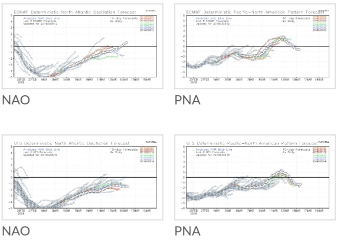
18z GFS ensembles, control/comparison to yesterday. First pic 18z gfs control yesterday for Sat night/Sun a.m. 2nd pic today. 3rd pic Sun night/Mon am, 4th pic today. 5th and 6th pic ensemble members for low position eith overall mean Sun-Mon and that last pic is 18z from yesterday. Euro trended SE weaker. GFS trended NW within its means.
Bottom line: Models are still getting a handle on a player thats not on the field yet. We need to get past these first systems mid to late week. The overall pattern is setup to support this storm. The question will come down as always to timing, phase, track. This is our best potential of the winter of a major storm.