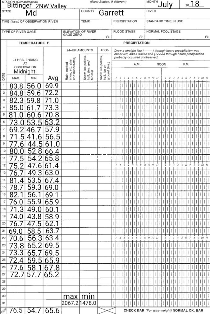
July 27. min. max. avg
Bitt 2nw valley 57.7 72.7 65.2
Garrett College 62.0 75.3 68.6
Can-Heights 61.4 76.3 68.9
CRN-Canaan 60.0 74.9 67.6
Cabin Mt 59.4 73.9 66.6
Cabin Mt north 60.4 75.0 67.7
Spruce Knob 57.6 71.1 64.3
Snowshoe 58.6 69.4 64.0
Can-Valley Floor 47.8 77.0 62.4
7Springs 62.0 71.1 66.6
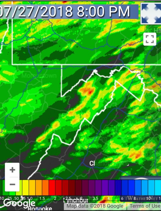
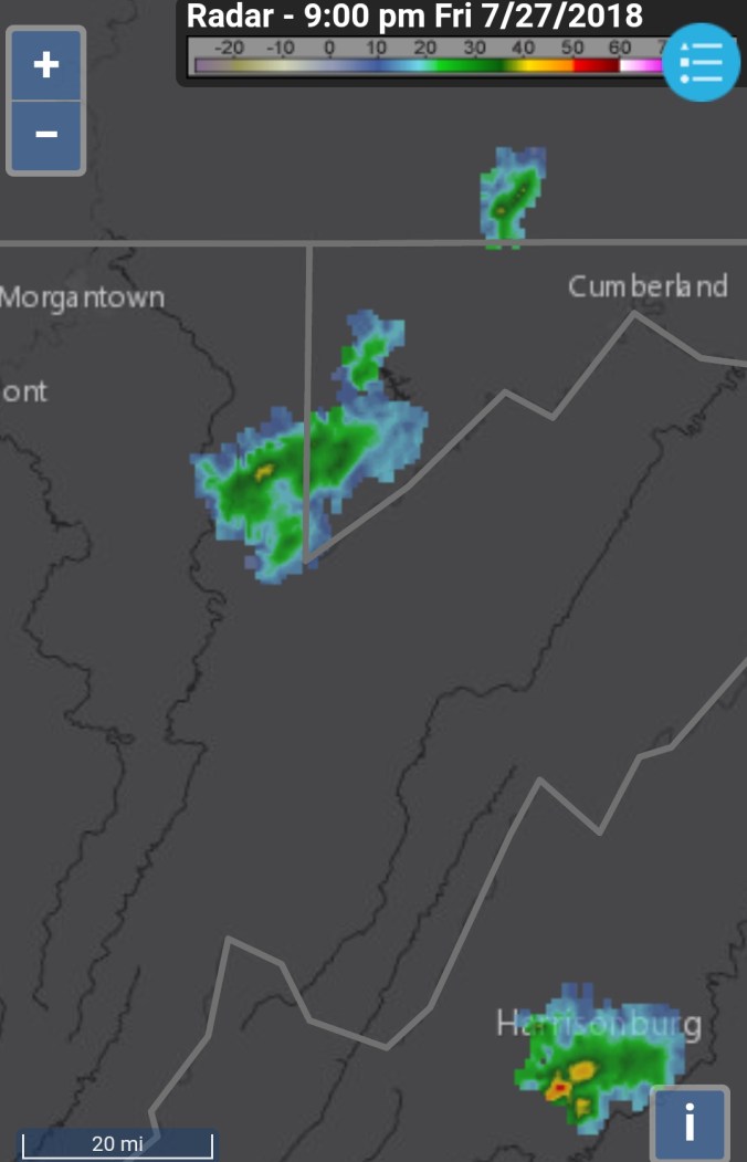
Mix of clouds and sun to start, quickly clouding over. A period in the afternoon with a line of passing light showers. That passed and skies broke….after dusk, a few more brief passing showers pushed through parts of the area(snippet of that below radar estimates)
Temp profile this afternoon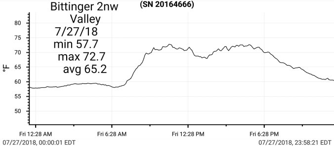


 Radar with radar estimated precip
 Satellite this afternoon
Flow
Surface features and 500mb height anomalies and flow


18Z 3km Nam
2m Temperatures
Dew Points
Simulated Radar
10m Winds
Cloud Cover Percentage
12Z ECMWF
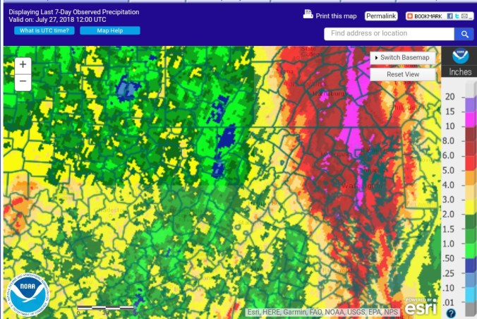
Next week model indicating ridge backing in from the east. This “may” for a time shift the precip shield over the Alleghenies that has overall missed out on appreciable precip over the past 7 days and in some areas, the month.
12Z ECMWF 6 hourly precip
500mb heights and anomalies
2m Temperature anomalies. Likely a setup of cloudy afternoons with some periods of rain holding temps slightly below normal for maxes, and cloud cover, holding temps at or above at night
Another look at the last 7 day observed precip