Sept 15. min. max. avg
Bitt 2nw valley 62.6 69.9 66.2
Garrett College 64.1 70.4 67.2
Can-Heights 61.2 65.6 63.4
CRN-Canaan 62.8 69.9 66.3
Cabin Mt 59.0 63.3 61.1
Cabin Mt north 60.1 62.8 61.4
Spruce Knob 58.8 61.3 60.0
Snowshoe 59.7 64.2 61.9
Can-Valley Floor 63.3 70.0 66.6
7Springs 62.7 68.6 65.7
Mainly cloudy, times of fog, drizzly, times of light rain…a few brief peaks of sun late day..
Temp profile this afternoon


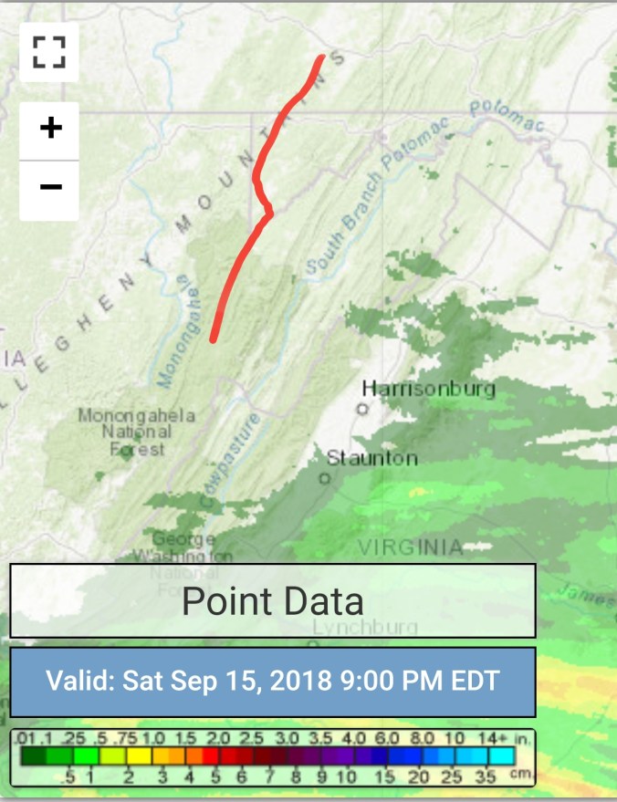
Radar with estimates 9pm-9pm, once again, radar not picking up on the light precip banking into the Alleghenies. The mist, drizzle, light rain at times. Only totalling .02 at Bittinger 2nw Valley, but wet quite often today. That said, radar and radar estimates not worth much , but here they are…(radar clutter near radar sites(Pitt, Charleston, Sterling)
Florence estimates and some obs reports 25-32″..There was a gauge earlier reporting 47″, I inquired about it and was told it was a error impacted by sea spray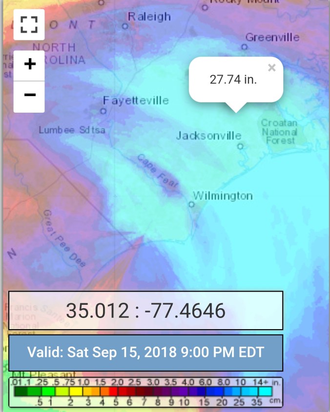
Satellite
Flow
Surface features and 500mb height anomalies and flow


On the models
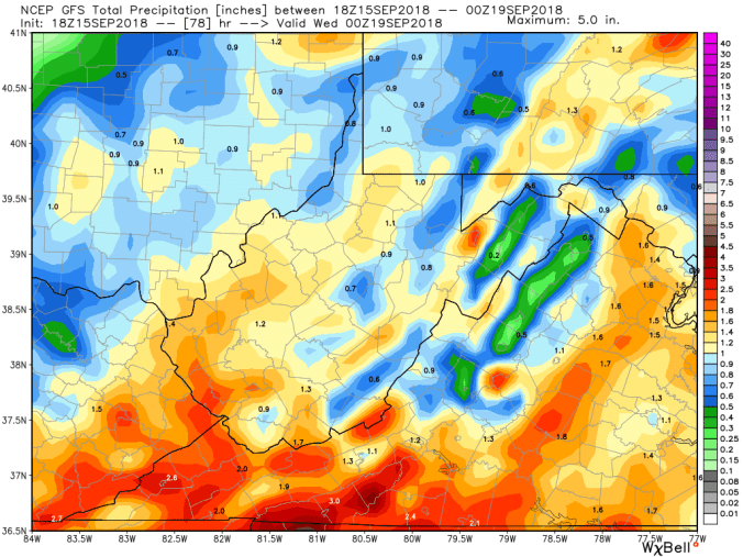
Rain threat increasing Sunday late day south, and overnight pressing north. Rainy Monday, into Tuesday. Overall holding the 1-3″ range, while leaning in the low to mid range of that. As always isolated spots may recieve more.
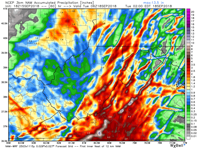
18z 3km Nam
2m temperatures
18z 3km Nam Simulated Radar
18z 3km Nam precip totals
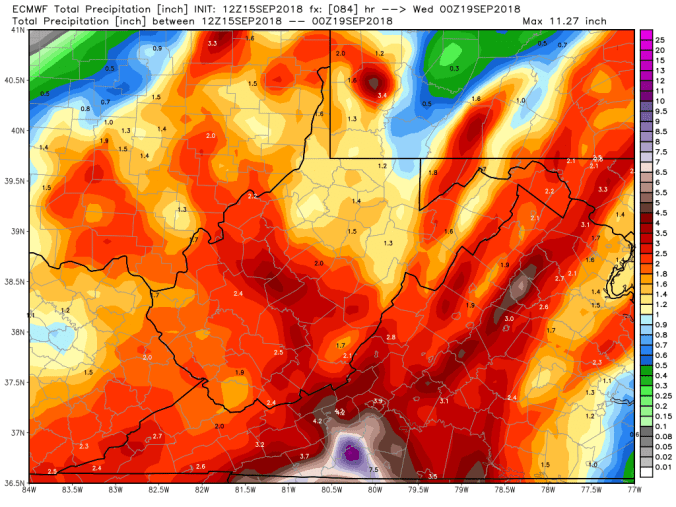
12z ECMWF precip type next 240hrs, with amounts through Florence remnants
18z GFS precip type next 384hrs, with amounts through Florence remnants
12z UKMET precip every 6 hours with amounts through Florence remnants

Leaf comparison


