Sept 19. min. max. avg
Bitt 2nw valley 54.2 73.5 63.8
Garrett College 57.9 76.2 67.0
Can-Heights 57.2 74.1 65.7
CRN-Canaan 56.0 75.2 65.6
Cabin Mt 58.5 74.3 66.4
Cabin Mt north 60.1 72.7 66.4
Spruce Knob 58.1 73.2 65.6
Can-Valley Floor 51.3 77.2 64.2
7Springs 63.0 72.5 67.8
Cloudy start, some high ground fog in spots. Breaking late morning and through the afternoon for more sunshine.
Temp profile this afternoon


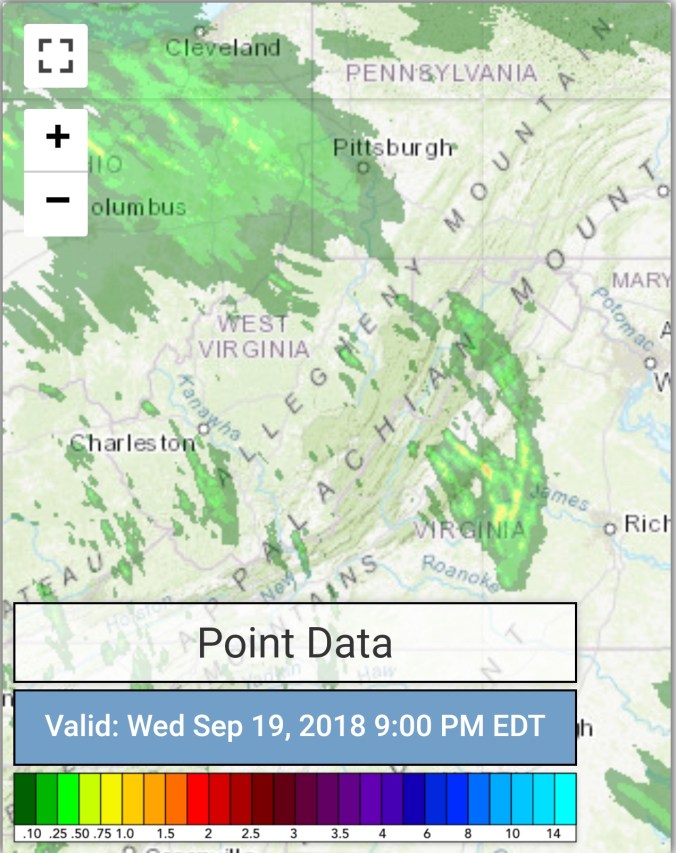
Radar with estimates 9pm-9pm
Satellite
Flow
Surface features and 500mb height anomalies and flow


On the models….
Warmer 2 days ahead after a cool start in the a.m, cool start relatively speaking vs the mild mornings of this September. On Friday, we do need to watch to see how a line of storm develops. Will post more tomorrow, as of now the worst does look to start in the northern Alleghenies and points NW.
18z 3km Nam 2m temperatures
18z 3km Nam 2m Dewpoints
mid to long term, plenty of rain chances, and then we look to chill down late next week going into early October. Widespread frost and freezes looking probable in that stretch. Last night the 18z GFS had flake threat around the 3rd-4th. Not on any run since. 2 members of the 12z ECMWF ensemble package out of 51 members still have a shot.
12z ECMWF precip type next 240hrs
18z GFS precip type next 384hrs
