Sept 21. min. max. avg
Bitt 2nw valley 58.5 78.8 68.6
Garrett College 62.4 81.4 71.9
Can-Heights 63.5 77.2 70.3
CRN-Canaan 63.1 77.8 70.5
Cabin Mt. 61.5 75.7 68.6
Cabin Mt north 61.5 76.1 68.8
Spruce Knob 60.6 74.5 67.5
Snowshoe 61.0 72.1 66.6
Can-Valley Floor 51.3 80.2 65.7
7Springs 63.8 78.0 70.9
Partly cloudy, breezy. . a very brief(less than a minute) light late day shower
Temp profile this afternoon


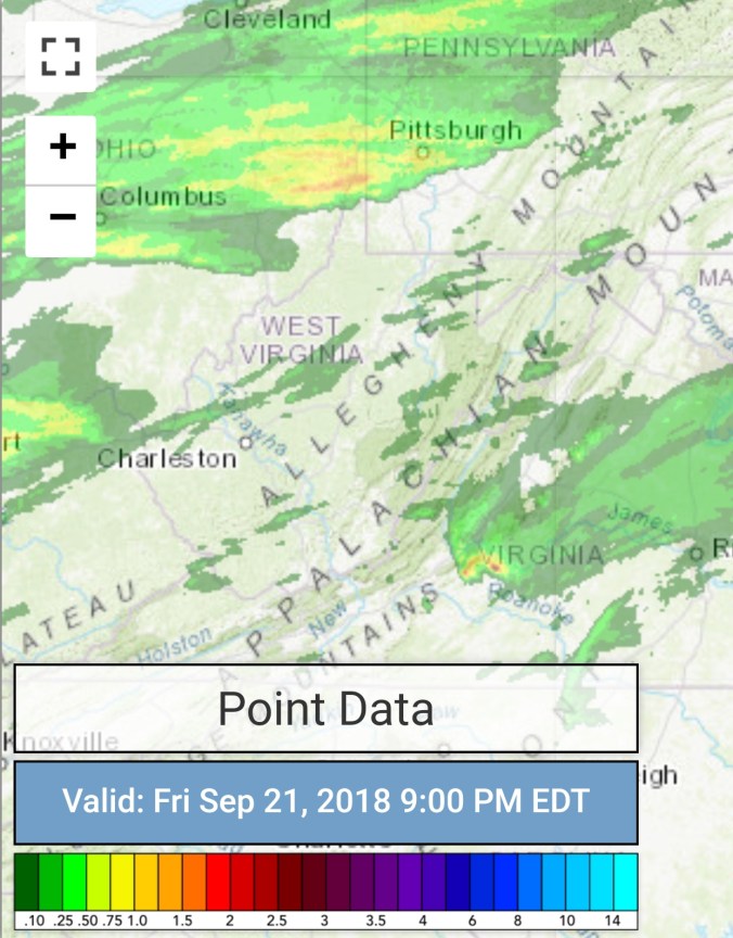
Radar with estimates 9pm-9pm
Satellite
Flow
Surface features and 500mb height anomalies and flow


On the models….
Short term, much cooler weekend, showers possible tomorrow. drifting southward and mainly mason dixon south showers Sunday with highest threat Wv mts. Much cooler. Some high Wv ground may hold 46-51…
18z 3km Nam 2m temperatures
18z 3km Nam Simulated Radar
Longer range…Will wait until tomorrow to post the op runs, but some new model data today holds a stronger ridge in the east that deflects the brunt of the biggest potential cold push of the season Sept 30- Oct 6… Interesting seeing the change in the ensembles so much after so much consistency…. Will wait several runs to see if this new scenario holds before posting more.
18z GEFS from yesterday to 18z GEFS today. 500mb height anomalies and 2m temp outlook.


