Oct 18. min. max. avg
Bitt 2nw valley 29.4 43.3 36.3
Garrett College 29.8 47.2 38.5
Can-Heights. 27.7 43.4 35.6
CRN-Canaan 29.5 45.8 37.7
Cabin Mt 24.8 42.3 33.5
Cabin Mt north 25.7 43.2 34.4
Spruce Knob 24.6 42.3 33.4
Snowshoe 25.5 45.7 35.5
Can-Valley Floor 22.6 47.1 34.8
7Springs 29.0 41.3 35.2
Early clouds, some fog skirting the high Wv ground with a touch of rime early. Then a mostly sunny day beyond mid morning
Temp profile this afternoon


Nothing on radar, so nothing to post for precip
Satellite
Flow
Surface features and 500mb height anomalies and flow


Some pics today


Pic from social media at Snowshoe early morning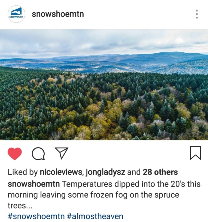
Speaking of early morning cams. I have been fooled many many many times over the years by predawn and nightime artificial lightning on these cams illuminating grass, bare grass. Sometimes its wet grass. It illuminates it, in a way that looks like snow. I’ve seen it occur with temps in the teens and no predawn meltoff. The snow that appeared on the ground at the base of Snowshoe, wasn’t snow. It was wet grass illuminated. Look at this morning at Silver Creek. This was predawn, to at first light when the cam does not illuminate the image. Looks like snowcover, none there. You will observe this often, and be fooled often. Even the NWS has been.


On the models…
Fast forwarding to Saturday to showers pushing in, and changing to snow overnight. A quick brief hit. Thoughts have not changed really since last night. 2000-3000′ coating to 1″, 3000-4000 1-3″ my tweak would be 4000’+ 2-4″. Windchills into the single digits above 3800′ Sunday a.m. 12-20° 2000-3800′. Air temps 20-25° to start Sunday above 3200′, 25-32 2000-3200′. Max temps 28-34 above 3500′, 33-39 2500-3500, 38-43 2000-2500. Sunday night, if skies clear fast as they look they will and winds go calm, thats iffy, but if they do, low temps falling 6-12 in the coldest high valley pockets. 15-25 elsewhere.
12z ECMWF precip type next 240hrs
12z ECMWF 2m temperatures
12z ECMWF windchills
12z ECMWF snowfall
