Nov 10(Sat) min. max. avg
Bitt 2nw valley 18.6 33.6 26.1
Garrett College 18.5 33.8 26.1
Can-Heights 13.6 30.3 22.0
CRN-Canaan 15.5 31.2 23.4
Cabin Mt 11.3 27.9 19.6
Cabin Mt north 13.6 28.9 21.2
Spruce Knob 11.3 26.2 18.7
Snowshoe 12.9 26.6 19.8
Can-Valley Floor 10.6 32.5 21.5
7Springs 17.9 31.3 24.6
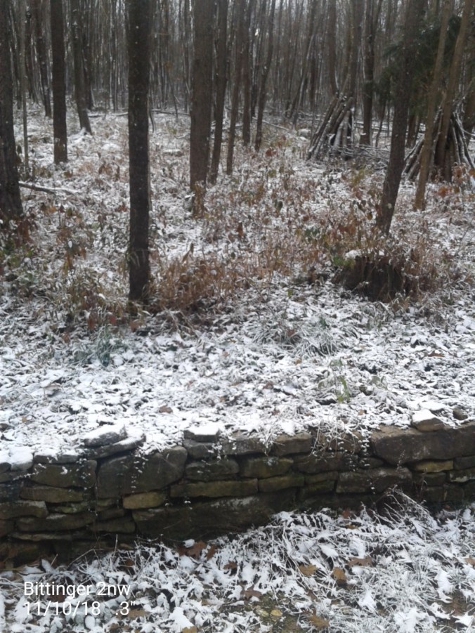
Some overnight snow…coating the upslope areas. Snowshowers on and off through midday, windy, blustery…skies breaking this afternoon.
Temp profile this afternoon…….
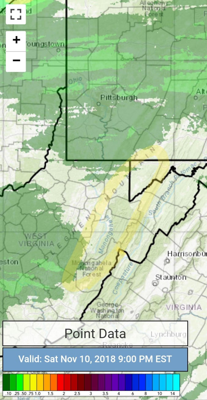
Radar with estimates 9pm-9pm. Picked up .1 liquid at Bittinger 2nw Valley. It’s the season of low cloud tops. Some Mt. snow undetected by radar. Radar in Pitt, Charleston, Sterling, overshoot the precip tops in the area. Canaan marks the center of the furthest distance away from all 3. With nearby areas poor also. That said, radar estimates will be poor.

Snowfall 
.3″ at Bittinger 2nw Valley 1.3″ season total
.6″ at Canaan Heights 3.6″ season total
Satellite
Flow
Surface features and 500mb height anomalies and flow…..
Keysers Ridge early a.m
Snowshoe, snow making beginning early a.m
Video this afternoon at Cranberry Glades by Hot For The Hills Wv.. also check out their Facebook page under the same name
The winds today. Along the exposed areas of Cabin Mt above 4000′, wind gust topped 60mph, sustained 30-40mph with temps in the teens put windchills below 0 a good portion of the day.
Looking ahead…
Skies clearing, winds dying. Dew Points near 0 in spots.. Some of the coldest high valleys have a shot at 0 or just below tonight. Tomorrow night, the high ground may hold 30-35. Places like Snowshoe may be able to make +32° snow with the dry air in place. Some precip moves in Monday. Perhaps some freezing rain at the onset. Then a cold rain, backend snow(1-3″) with another cold shot. The temp moderation late week again is with dry air. Dew Points remain low. Ski resorts man made snow is basically bulletproof with low dew points even with daytime temps 40-50. Which 50 doesn’t look to occur through the next 7 days. Last November was a great ecample of that. We had a 2-3″ fluffy snow event on the 19th. Some of which remained on December 1st despite no more snow and temps 40-50 often in the period.
Maybe a upslope snow event next weekend.


