Nov 21(Wed) min. max. avg
Bitt 2nw valley 25.7 32.2 28.9
Garrett College 26.6 31.4 29.0
Can-Heights 23.1 28.7 25.9
CRN-Canaan 24.9 30.6 27.8
Cabin Mt. 20.3 27.3 23.8
Cabin Mt north 21.0 25.9 23.4
Spruce Knob 19.2 26.2 22.7
Snowshoe 19.6 26.2 22.9
Can-Valley Floor 25.9 33.4 29.6
7Springs 18.7 25.2 22.0
More clouds than sun at daybreak, skies broke through late morning, before a lowering cloud deck pushed in midday, and pressed south into WV in the afternoon. Accompanied by some fine flakes and a light trace of freezing drizzle. (Rt 40 cam shows a good example of this as it faces NW)
Temp profile this afternoon


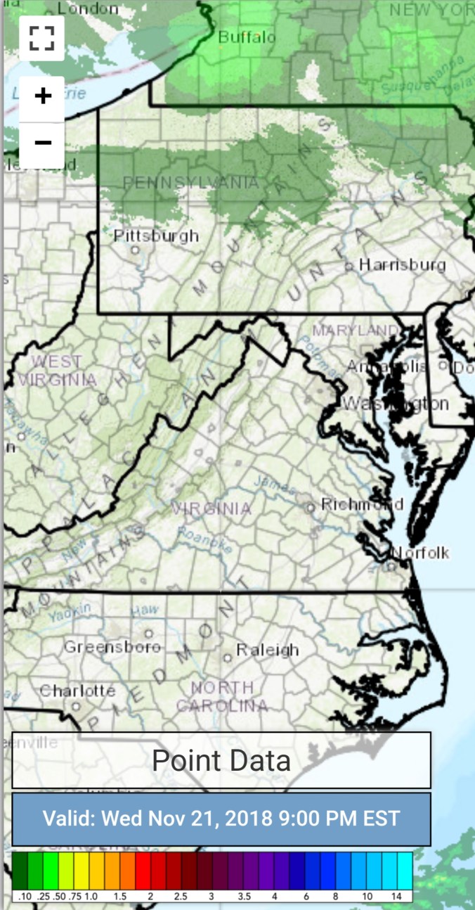
Radar with estimates 9pm-9pm… very light precip not showing on radar
Satellite
Flow
Surface features and 500mb height anomalies and flow


Pics today


opening day at Snowshoe


Wisp finally making snow tonight
Pic by Vernon Patterson on Cabin Mt
On the models….
Using the 3km Nam for temp setup through Saturday a.m. Outside of patchy light, scattered pockets of snowshowers tonight and tomorrow, the big story is colder temps. Especially Tucker and northward. Then we set up the classic cold high north, east wind scenario. Cold in central, eastern Garrett, mid to upper 20s Friday, 44-48 in Morgantown… Some mildaur, as usual bleeds in to Canaan. I’d suspect they stop snow making on Friday due to that. Wisp should be good until overnight Friday into Saturday a.m. Snowshoe as well. Early Saturday, some light mix possible. Possibly until midday in coldest spots..
0z 3km Nam 2m temperatures
