Nov 23(Fri) min. max. avg
Bitt 2nw valley 17.2 32.0 24.6
Garrett College 17.3 35.0 26.1
Can-Heights 20.5 39.5 30.0
CRN-Canaan 18.5 39.8 29.1
Cabin Mt. 23.0 37.8 30.4
Cabin Mt north 14.4 37.9 26.1
Spruce Knob 20.3 34.0 27.1
Snowshoe 22.8 32.4 27.5
Can-Valley Floor 14.2 42.4 28.3
7Springs 15.4 29.8 22.6
Partly to mostly sunny skies, SE flow…. high thin overcast later in the day. Much warmer west side of the mts.
Temp profile this afternoon


Radar void of precip
Satellite
Flow
Surface features and 500mb height anomalies and flow.


Pics today

Pic by Jeremy Cutlip of Sharp Knob above Marlinton today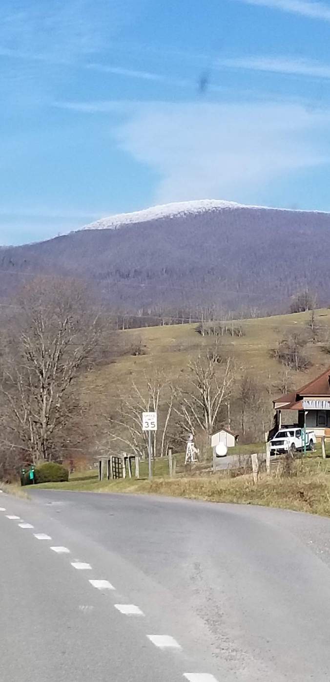
Snowshoe day #3 of skiing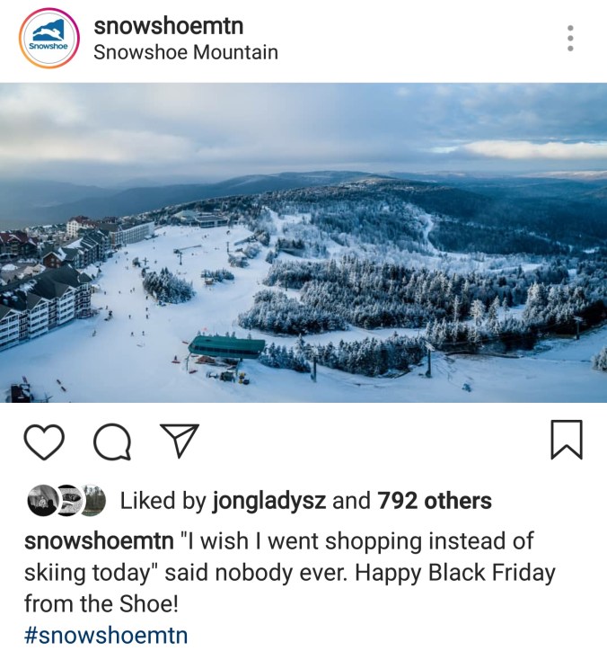
Photos from Black Mt along Highland Scenic Highway today


On the models…..
Cold dry air in place over parts of the area. The traditional zones that hold on to cold air the longest. Cheat Mt and east in Pocahontas over into Bath, up and just east of the Allegheny Front, then to 219 at Sand Flat north and east in Garrett County, and up the Savage Mt ridgeline and just east. The 3km Nam is usually very good in these setups. These setups usually feature some mild air getting into Canaan mucg earlier thab many other spots in the Alleghenies.
Here is the
12z 3km Nam 2m temperatures
12z 3km Nam precip type
Poor efforts at the Wisp
While they have made snow, they once again at 7:30pm tonight are not. The half hearted effort and no effort is why they remain no where near being open while other resorts in the area are. 7:30pm conditions and Wisp


