Nov 24(Sat) min. max. avg
Bitt 2nw valley 25.1 41.1 33.1
Garrett College 25.8 42.9 34.3
Can-Heights 35.3 40.3 37.8
CRN-Canaan 30.3 42.3 36.3
Cabin Mt. 32.7 37.4 35.0
Cabin Mt north 32.2 38.8 35.5
Spruce Knob 27.1 36.0 31.5
Snowshoe 26.1 36.5 31.3
Can-Valley Floor 27.0 43.9 35.4
7Springs 22.8 40.5 31.6
Precip onset around daybreak. Steady freezing rain across the traditional areas that hold onto the cold in this type of setup. At Bittinger 2nw Valley, this continued until nearly midday, wutg temps holding 32.1- 32.7 until 8pm in the valley. Longer east towards Savage Mt and east and less west, where really no freezing rain fell, as well as at Canaan. Milder event in those spots. Some pockets of sleet along Savage Mt observed and some pockets of snow in Pocahontas County.
Temp profile this afternoon


Radar , picked up .6 at Bittinger 2nw Valley
Satellite
Flow
Surface features and 500mb height anomalies and flow…..


Pics today…..


Pic and Video by Jeremy Cutlip near Bartow where a burst of snow occured today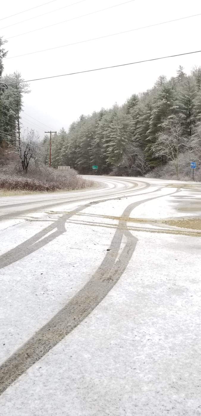
Some Flakes flying at Snowshoe in that time. A little hard to see on video
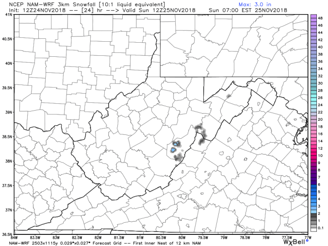
3km Nam actually showed pockets of snow occuring. These setups are the strongsuit of this model