Dec 2(Sun) min. max. avg
Bitt 2nw valley 33.5 58.6 46.0
Garrett College 35.9 61.2 48.6
Can-Heights 45.0 58.1 51.5
CRN-Canaan 46.0 60.0 53.0
Cabin Mt. 42.4 56.5 49.4
Cabin Mt north 41.4xxxxxxxx
Spruce Knob 37.9 49.5 43.7
Snowshoe 41.0 51.3 46.1
Can-Valley Floor 32.4 62.1 47.2
7Springs 33.8 56.7 45.2
Started out with low lying fog, calm, cloudy, that gave way to clearing, breezy conditions and rising temps. Not to go unmentioned. Some areas that saw rain last night had a few rumbles of thunder.
Temp profile this afternoon


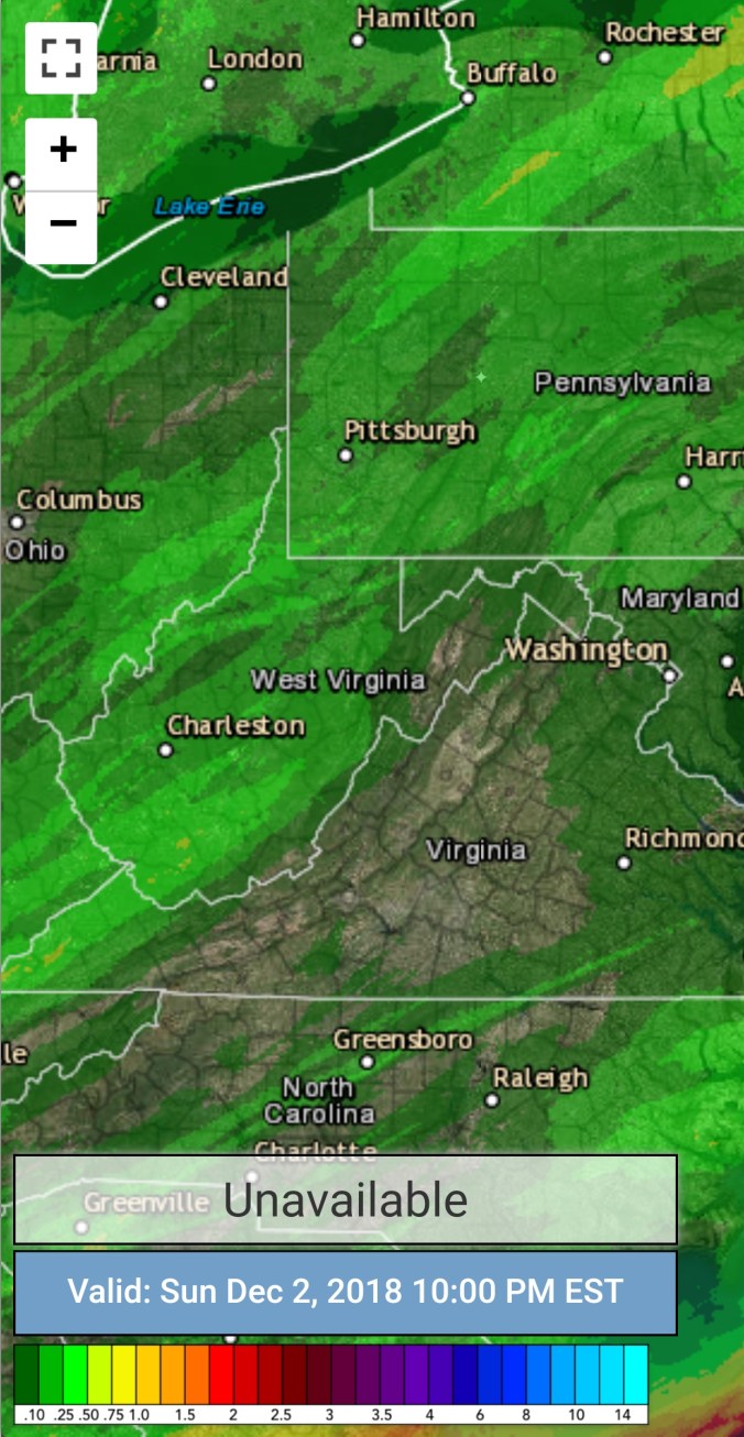
Radar. I had .05 overnight at Bittinger 2nw Valley…
 Satellite
Flow
Surface features and 500mb height anomalies and flow


Pics today


On the models…..
Colder air begins to encroach after midnight(some valleys are near freezing briefly under clear, calm conditions. As the front nears, winds again increase with a temp spike, then fall. Showers go to snowshowers tomorrow. A few round of snow showers from Monday through Wednesday. Light amounts. Looking like 1-3″ northern Alleghenies, 2-4″ through the high Wv ground through Wednesday. It should come in small increments, without advisories.
Next weekend- NO ONE KNOWS WHAT WILL HAPPEN. Storm threat exist, but has a equal chance at being a miss..
18z 3km Nam 2m temperatures
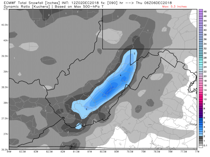
12z ECMWF snowfall amounts