Dec 3(Mon) min. max. avg
Bitt 2nw valley 28.9 50.8 39.8
Garrett College 28.5 51.8 40.1
Can-Heights. 28.0 47.6 37.8
CRN-Canaan 28.6 49.9 39.3
Cabin Mt. 25.5 45.0 35.2
Cabin Mt north x station issues
Spruce Knob 24.1 40.8 32.4
Snowshoe 24.6 44.2 34.3
Can-Valley Floor 30.4 50.7 40.5
7Springs 25.9 49.9 37.9
Cloudy, turning colder. Period of light drizzle in the morning. Brief snow shower, fine flakes in the afternoon, with better snowshowers after dark(See video below)
Temp profile this afternoon.


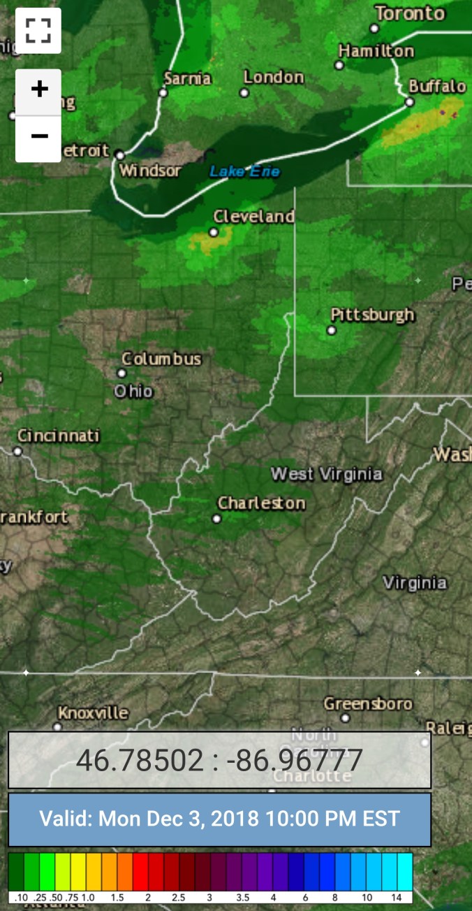
Radar with estimates 10pm-10pm. ☆ Light snow covering exists at 10pm. Radar estimates are not perfect.
Satellite
Flow
Surface features and 500mb height anomalies and flow..


Pics today


On the models….
Snow showers tonight into Tuesday a.m. .5 to 1.5″ across the northern Alleghenies(Garrett, Preston, Somerset, Fayette) 1-3″ across Wv high ground. Snow showers in a slightly more heftier fashion pushes in Tuesday night through Wednesday, Thursday. The currently looks like 2-4″ across northern Alleghenies, and 3-5″ totals across upslope areas of the Wv high ground. Few scattered snowshowers Thursday night with a little more light accumulation Friday.
The weekend storm? Model trends have been a little north today. Southern Alleghenies stand the greatest chance to be in game, and models are still trying to figure the piece of energy as it comes in off the Pacific. So, region wide still has the shot at a major storm. Simply top early to say.
12z ECMWF 2m Temperatures(through Friday)
12z ECMWF precip type through Friday
18z GFS precip type through Friday
Snowfall amounts through Friday off the 12z ECMWF and 18z GFS


Quick look at the GFS snowfall ensembles at 12z vs 18z. The hefty ones obviously see the weekend storm takig a north trend. The 18z had more of those vs the 12z


