Jan 4(Fri) min max avg
Bitt 2nw valley 26.8 37.1 31.9
Garrett College 30.0 41.2 35.6
Can-Heights 27.2 48.2 37.7
CRN-Canaan
Cabin Mt 24.9 48.3 36.6
Cabin Mt north x
Spruce Knob 25.3 42.8 34.0
Snowshoe 27.1 45.0 36.0
Can-Valley Floor 24.9 50.9 37.9
Can-Valley Floor N 21.9 50.1 36.0
7Springs 31.7 40.0 35.8
Overcast, dimmed sun at times. Some high ground fog south and light precip.
Temp profile this afternoon.


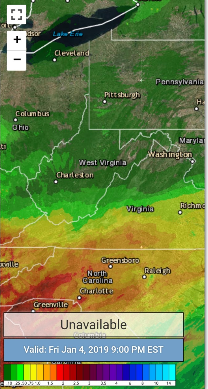
Radar with estimates 9pm-9pm
Satellite
Flow
Surface features and 500mb height anomalies and flow


On the models….
Short term,,rain pressing in tonight…that rain may end as wet snow across the Wv high ground with some wet accumulation. Especially above 3700-4000′ The higher tomorrow the higher the likelihood of snow and some sticking
18z 3km Nam 2m temperatures
18z 3km Nam Simulated Radar
