Canaan Cam offline
Feb 24 (Sun) min max avg
Bitt 2nw Valley
Garrett College
New Germany SP
Can-Heights
CRN-Canaan
Cabin Mt
Cabin Mt north
Spruce Knob
Snowshoe
Can-Valley Floor
Can-Valley Floor N
7Springs
Freezing Rain early in the classic cold zones. (That has discussed thoroughly where those are). That gave way to showers, breaking skies, strong winds and rapidly rising temps initially, then falling temps. Showers with some pockets of hail… then late day some pockets of light scattered snow. The big story is the strong winds.
Temp profile this afternoon(first image is morning temps, gives a good idea of freezing zones) Then the warm sector midday, followed by falling temps from the point of those 2 images.


Radar
Satellite
Flow
Surface features and 500mb height anomalies and flow


Pics today


Photo by Bill Buckel at Bittinger 2nw in the morning 
Photo by Scott Graham near Bittinger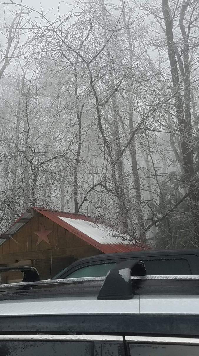
From Savage Mt 5pm
Winds today are the big story. But first a quick rundown on the temp setup last night. Canaan Heights 40s, Northern Cabin Mt 40s. Like clockwork, the boundary held. Mt.Storm 28-31 overnight. Further north in Garrett. mainly Mchenry east, then that angle near Sand Flat to Backbone Mt and high ground NE.
Winds- Snowshoe reporting a 88mph gust. This off a private station, no data quality control. Located within Snowshoe Village and probably enhanced by its surroundings, in other words likely a artificially high number. However media , and the weather service has ran with it.
Northern Cabin Mt did pick up a actual 74mph gust.
NWS ice call for Garrett County was dreadful once again. The Saturday morning call was freezing rain to rain 9am, then 1pm with rain afterwards. Then no mention of freezing. Then a change to a winter weather advisory to 1am, then changed to 7am. The 1-3° warm biased grid in these setups destroys their forecast. I do not know how many documentations it will take for them to recognize this to make a change.
