Canaan Cam offline
Feb 18(Mon) min. max avg
Bitt 2nw Valley 19.4 35.7 27.5
Garrett College 19.6 39.4 29.5
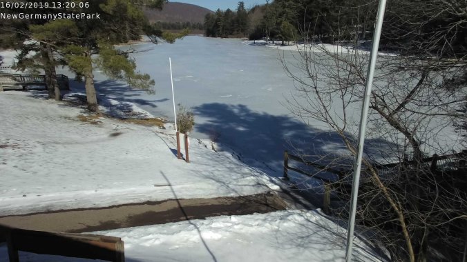
New Germany SP 26.2* 36.7 31.5
Can-Heights 18.7 42.9 30.8
CRN-Canaan 20.0 40.9 30.4
Cabin Mt 16.0 40.5 28.2
Cabin Mt north 17.2 41.4 29.3
Spruce Knob 15.2 35.6 25.4
Snowshoe 16.7 42.1 29.4
Can-Valley Floor 21.2 43.2 32.2
Can-Valley Floor N. 21.0 44.6 32.8
7Springs 13.1 38.0 25.5
Slowly falling temps. Few flakes early developing into snowshowers through the morning into the afternoon. Mainly light with a few moderate burst.
Temp profile this afternoon


Radar
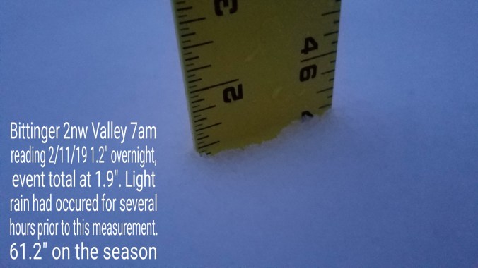
Snowfall-picked up .5 at Bittinger 2nw Valley through 6pm. 63.8″ on the season
Satellite
Flow
Surface features and 500mb height anomalies and flow


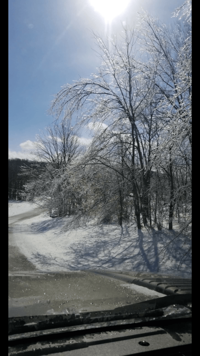
Pics today


Thoughyts on upcoming storm put out at midday today
High confidence of significant impacts from the storm Wednesday. Fairly low confidence on precip type impacts currently. Models are all over the place. Therefore, right now its a lean towards storm type and climatology of the storm type.
Bob Leffler told me few years ago about seeing 590 Heights off Miami, it’s difficult to get a big snow event in the Alleghenies in that setup. . That has held true time and time again since observing that.
The east side of the Alleghenies does better than the mountains in that big Southeast ridging setup. The depth of the cold air is greater on the east side of the mts. The mountains and west, the flood of warmth aloft is usually pretty rapid to come in, with these systems. Why I’m cautiously lower on snow amounts.
There is on occasion an anomalous event or 2 that can put a dent in that general rule. If it starts precipitating at a heavier rate Wednesday a.m at the onset, snow can hold longer in the mts.
That option is left open, but I “think” the general rule will win out.
What that means- initially we all get snow region wide. A rapid changeover to sleet after some accumulation. Will break that down a bit with a map , but with low confidence in this call at this time. The further south, and west you go, a faster changeover to sleet, a faster changeover to freezing rain and plain rain. East, it’s the opposite.
Green Zone- coating to 2″ of snow, up to 1/4″ of sleet, tenth inch of ice to plain rain. If precip rates begin and hold heavy at the onset, 1-3″ of snow. Plain rain by Wednesday afternoon
Orange Zone- 1-3″ of snow, to 1/4-1/2″ of sleet, to .1 to .2 ice to plain rain later Wednesday afternoon. Should the onset precip be heavy 2-4″ of snow.
Purple(or whatever that color is) 2-5″ of snow, .5 to 1.5″ sleet, .25- .35 ice, light plain rain after midnight Wednesday night(So Thursday a.m) Deep valleys east may hold through daybreak Thursday)East of the Allegheny Front in this zone 3-6″ if precip onset is heavy.
Dark Blue zone- 4-8+” of snow. 1/4″-1/2″ Sleet, .1 to .2 freezing rain.
Light Blue- 2-5″ of snow, changing to brief sleet, freezing rain to rain Wednesday afternoon.
Lots of moisture available for the event.
These are low confidence amounts. Only current thinking factoring in climatology as the models struggle with precip type amounts and area.. The GFS, ECMWF variance is significant.
This map will likely change.