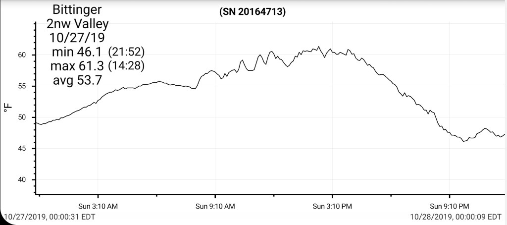
October 27, 2019
Oct 27(Sun)————-[min]—[max]—[avg]—[prec]
Bitt 2nw Valley —[46.1]—[61.3]—[53.7]—[.63]7am
Garrett College—–[48.5]—[61.3]—[54.9]—[.60]
Can-Heights
CRN-Canaan——-[47.4]—[58.9]—[53.2]—[.78]
Cabin Mt ————-[43.3]—[55.6]—[49.4]—[.94]
Cabin Mt N ———[45.0]—[56.1]—[50.5]—[.79]
Spruce Knob ——[42.4]—[54.5]—[48.5]—[.44]
Snowshoe ———[44.8]—[55.2]—[50.0]
Can-Valley Floor N [45.7]-[61.7]–[53.7]
7Springs —————[45.9]—[56.3]—[51.1]
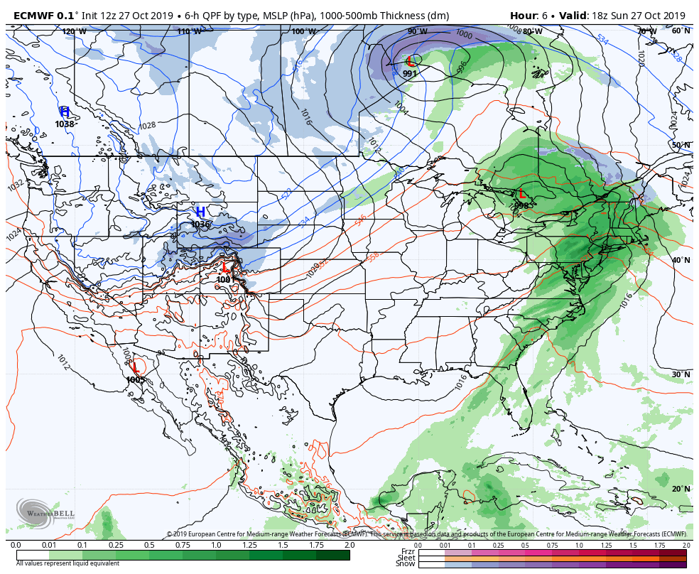
Overnight rain, moving out around dawn,,clouds linger early, break and give way to sun
Temps today
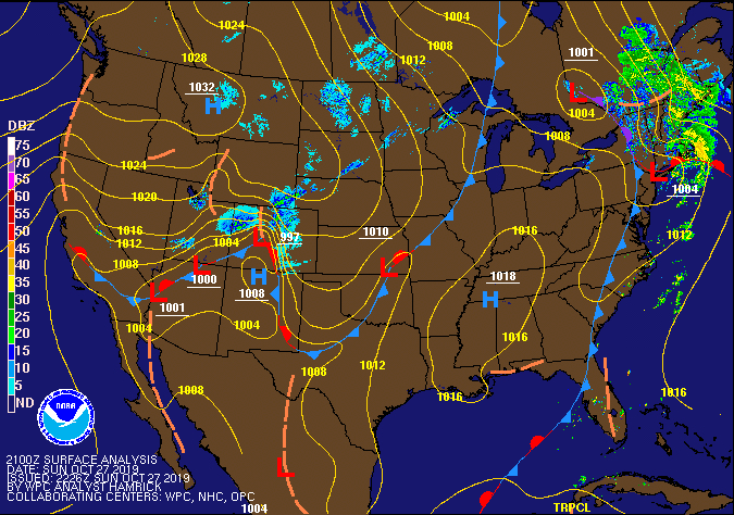
Radar
Satellite
Flow
Surface features and 500mb height anomalies and flow

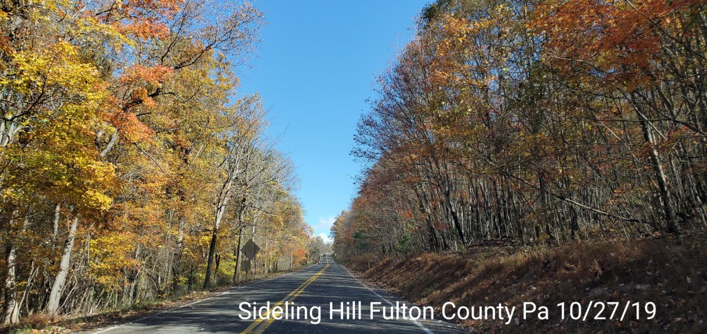
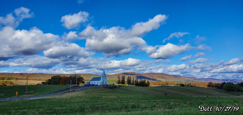
Pics today-
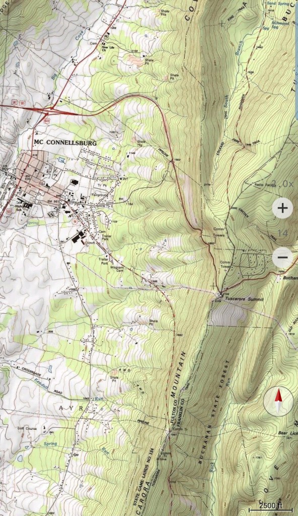
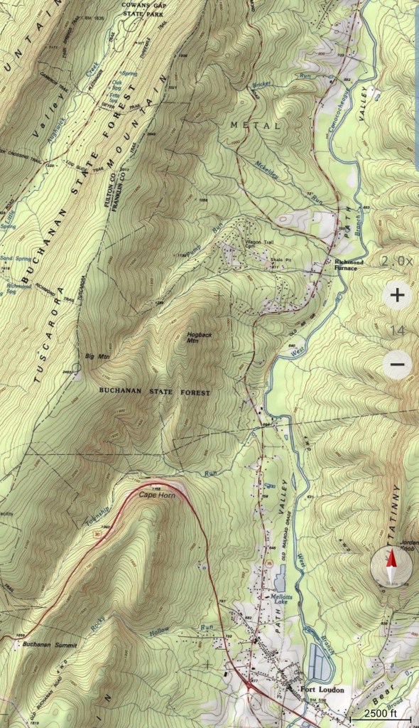
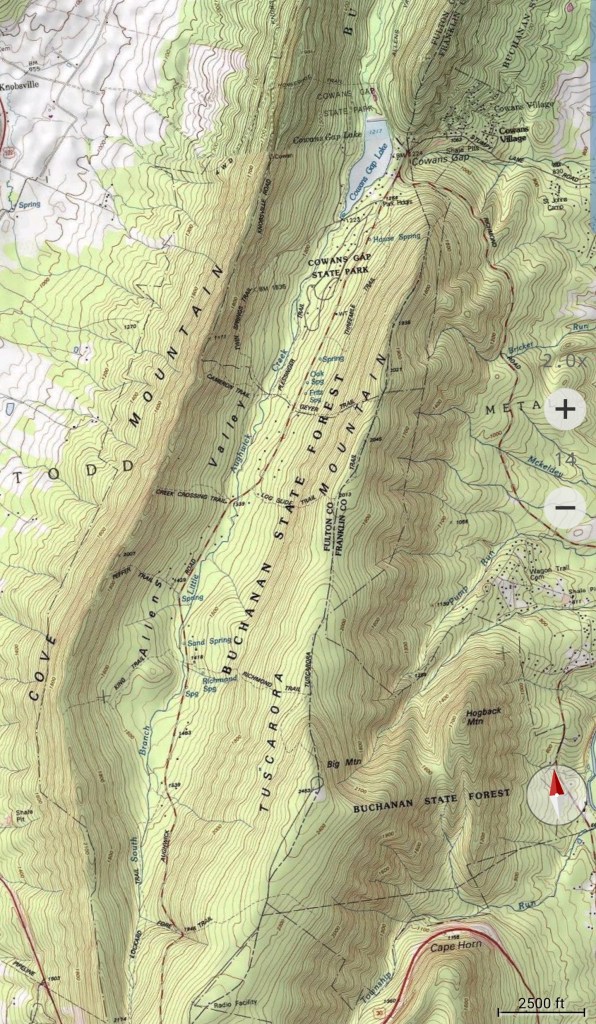
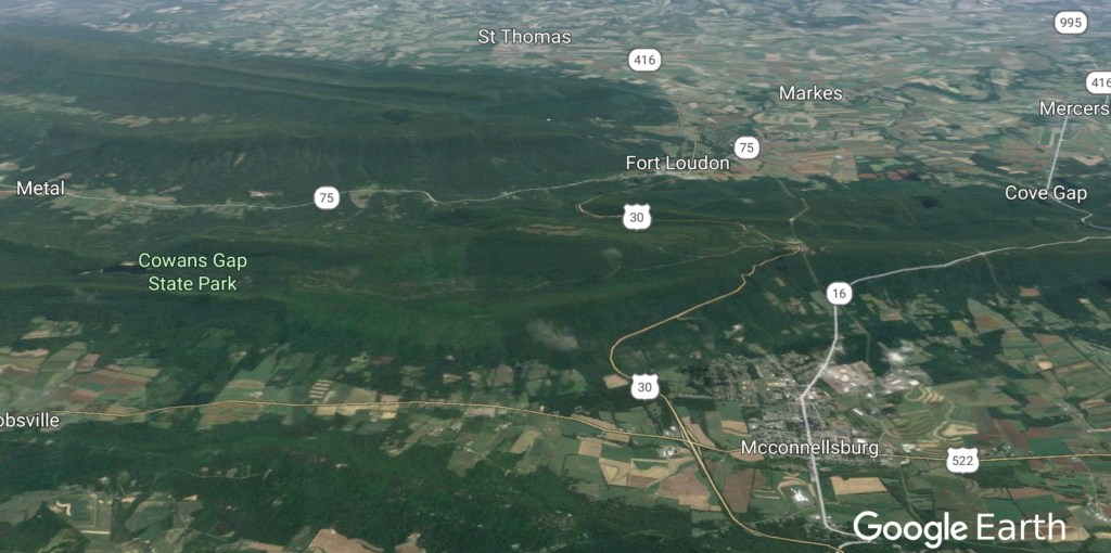
Pics today come from an area east of the Alleghenies. Near the eastern Fulton County Pa area and western Franklin County
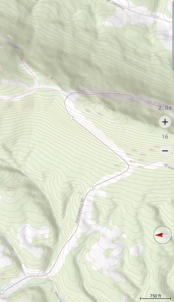
Sideling Hill in Pa, Fulton County

The town of Dott
A picturesque small town, rolling farmland, with Sideling Hill as the backdrop
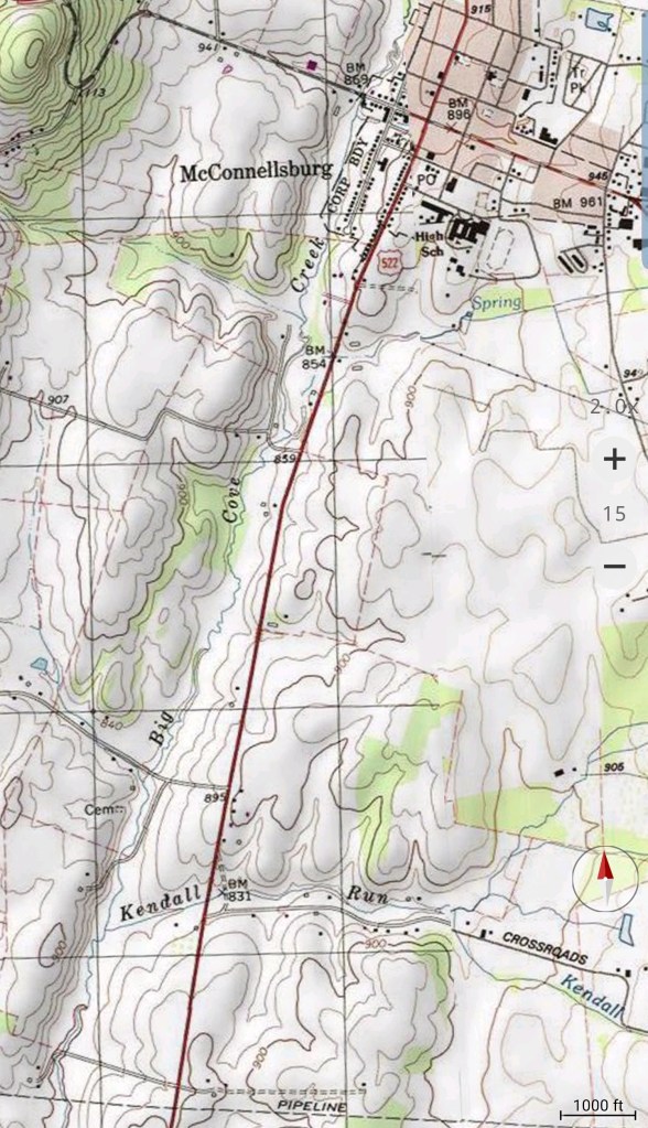
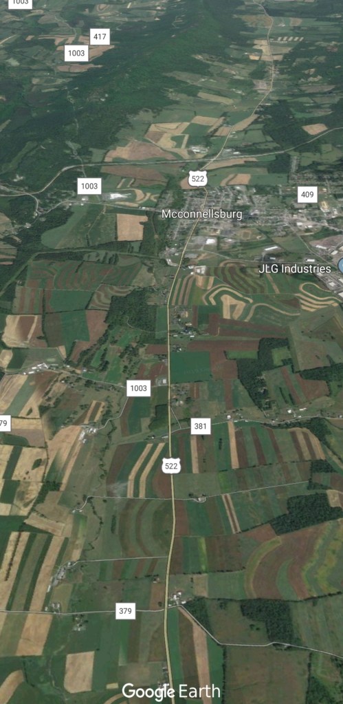
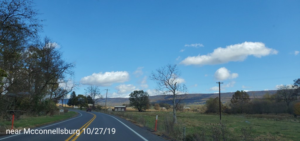
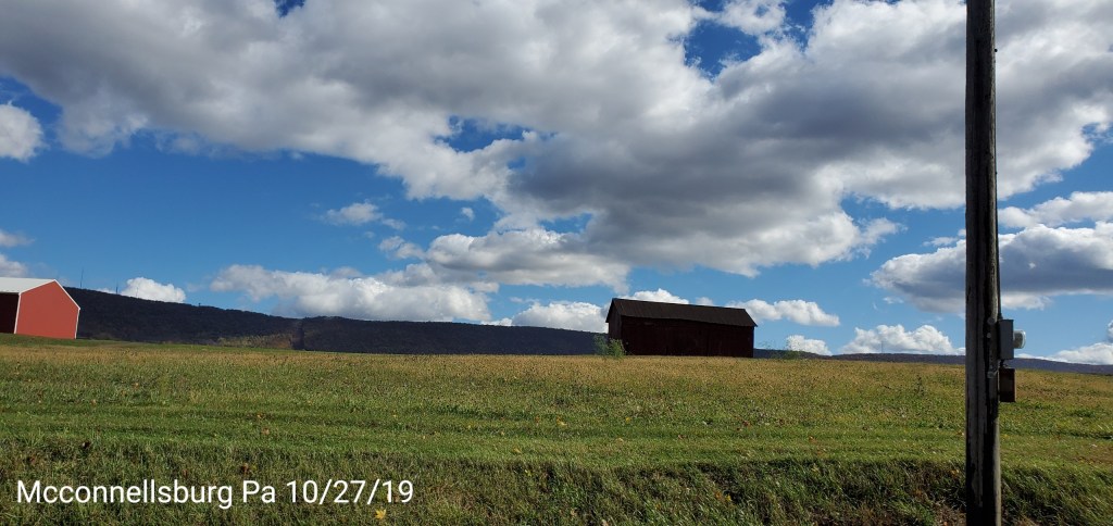
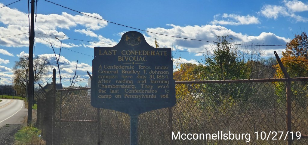
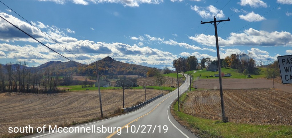
Around Mcconnellsburg
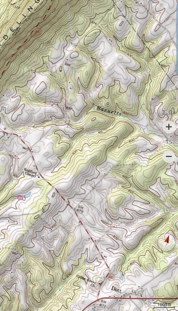
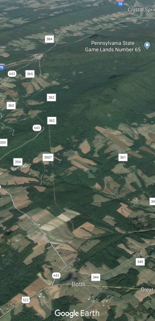
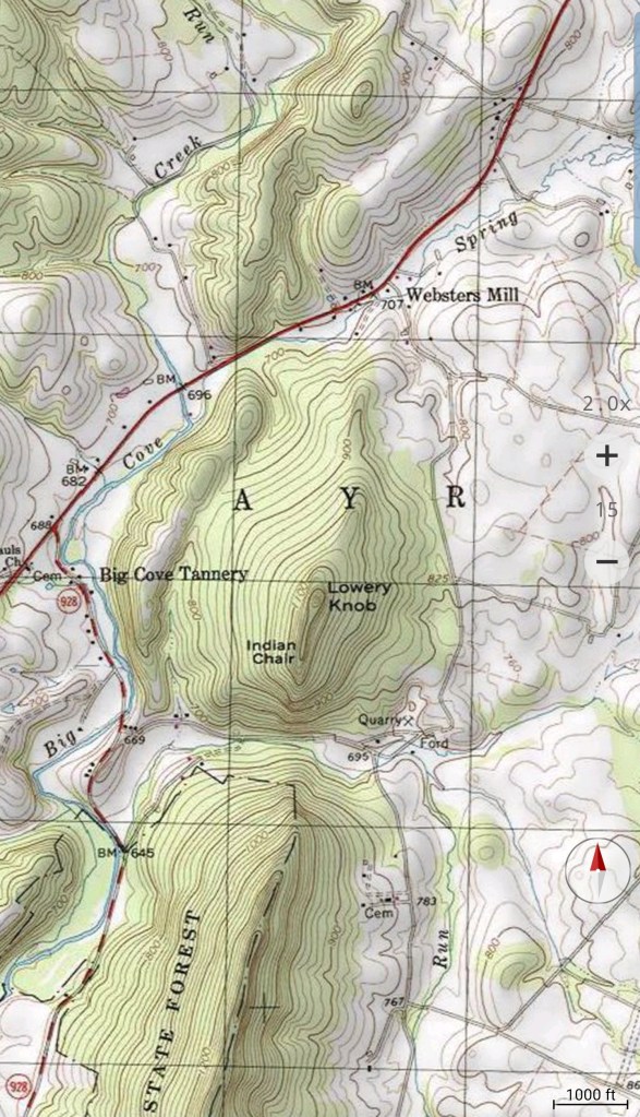
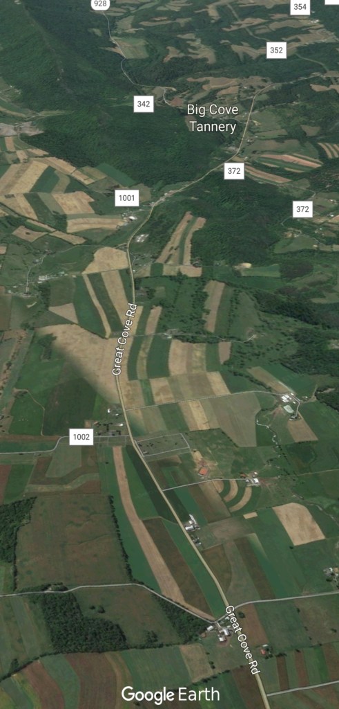
First topo and google earth image 522 north towards Mcconnellsburg, 3rd and 4th image 522 south of Mcconnellsburg
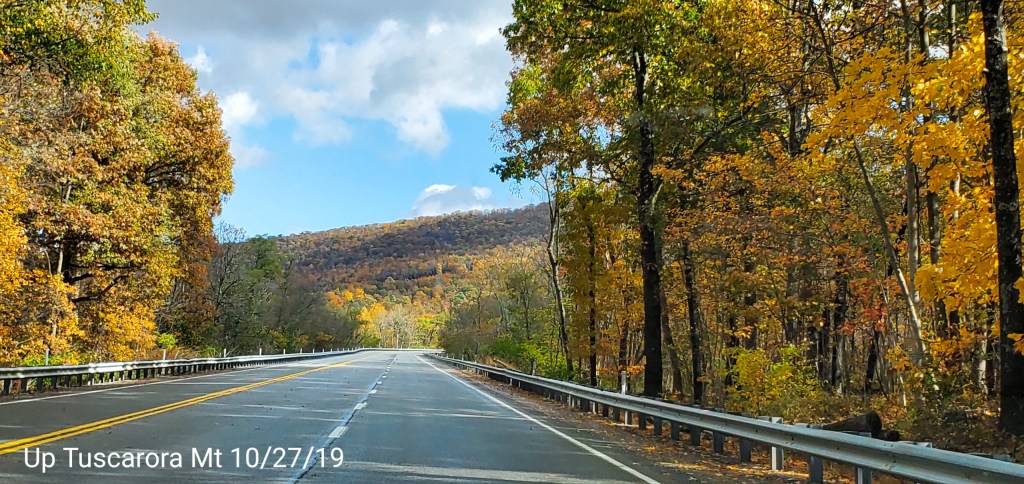
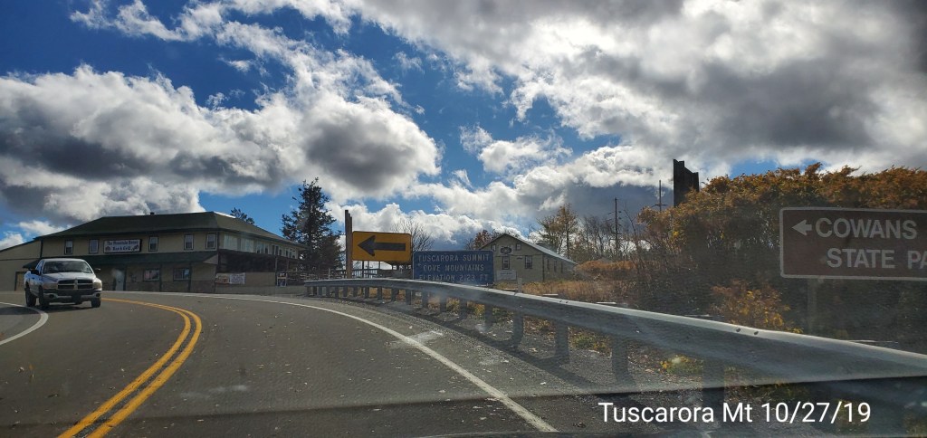
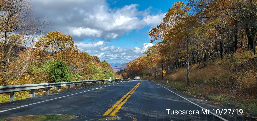
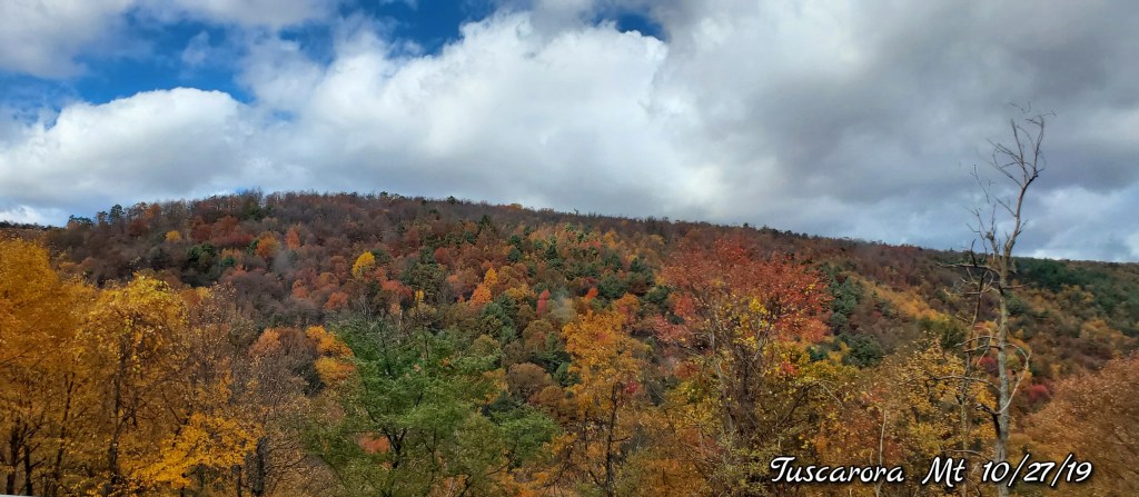
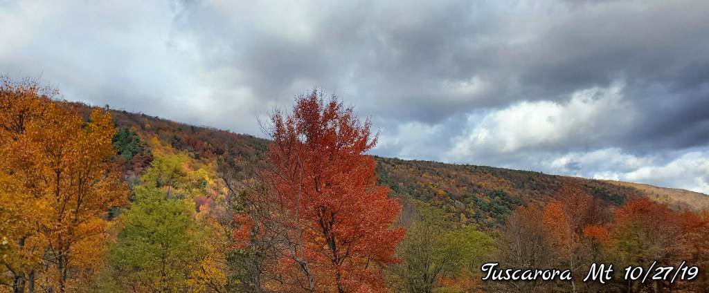
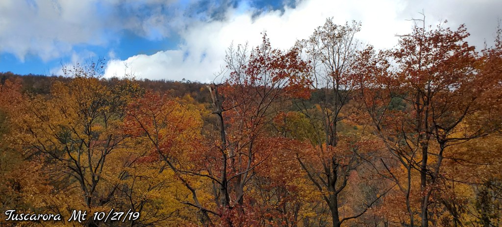
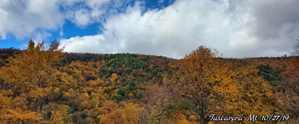
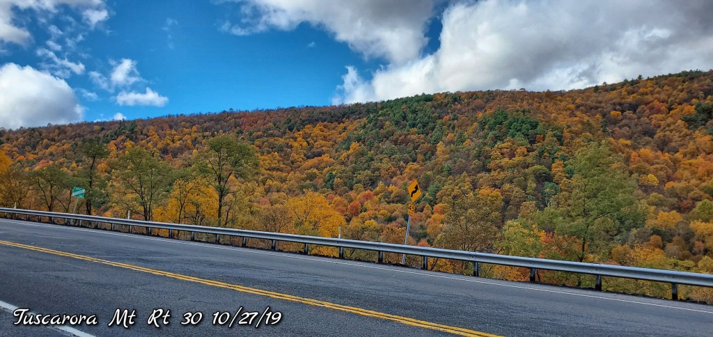
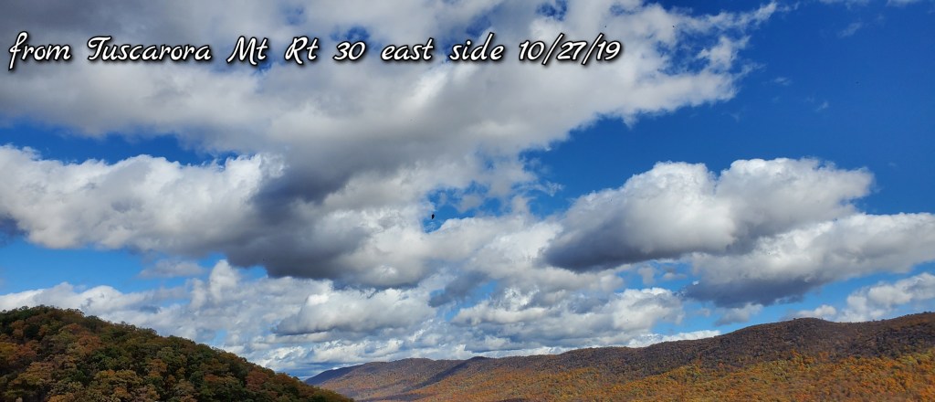
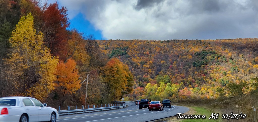
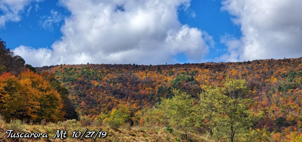
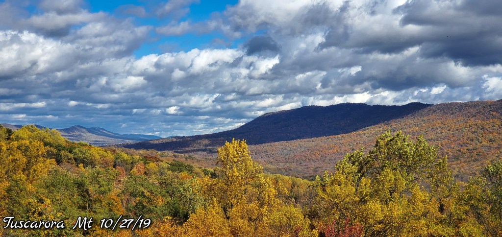
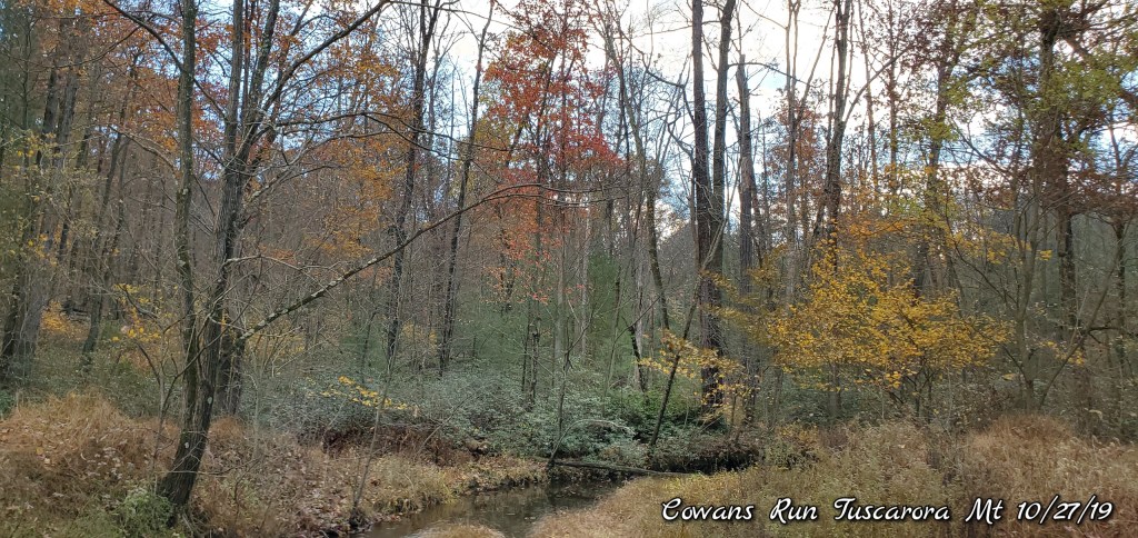
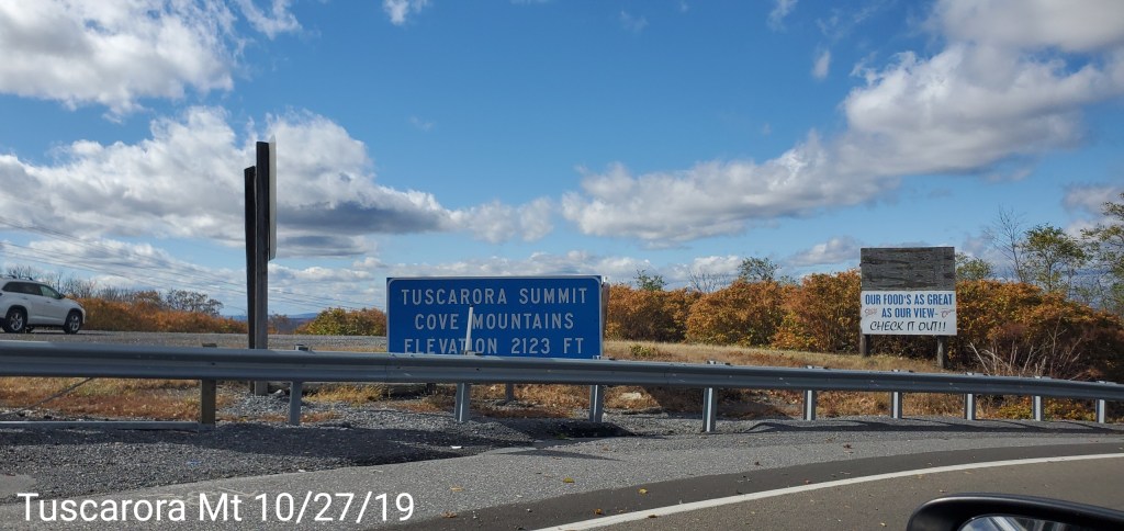
Up and on and over Tuscarora Mt and around Cowans Gap State Park
A scenic mountain with a big feel. Rising 1600′ above Mcconnellsburg (1300′ gain on Rt 30) on the west side and nearly 1800′ above the Valley east. On top, it “feels” high given the elevation of the surrounding farmland. A rugged steep area. Lots of great views. Color was really good as well.
Also noticeable was the higher Valley on top between the 2 ridges where Little Augwick Creek (Cowan Run) flows. Vegetation of white pine and hemlock were noticeable likely indicating a colder area vs the surrounding locations.


Extras
