November 30, 2019
Canaan cam down most of the day…few still images as it returned this afternoon

Nov 30(Sat)
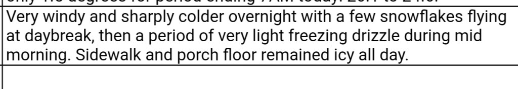
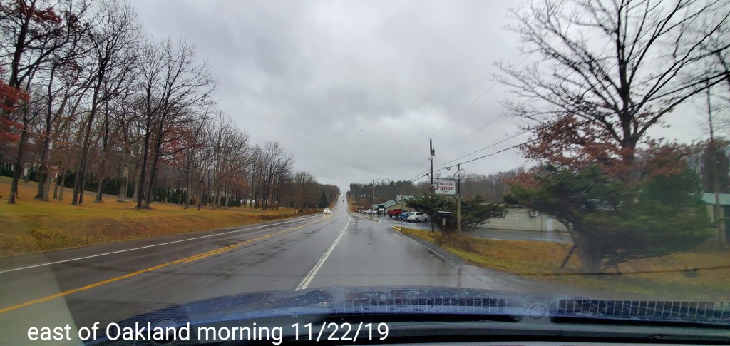
Mainly cloudy ,some dim sun through the overcast. A easterly flow. A very brief period(less than 5 minutes) of some light sprinkles in the evening..
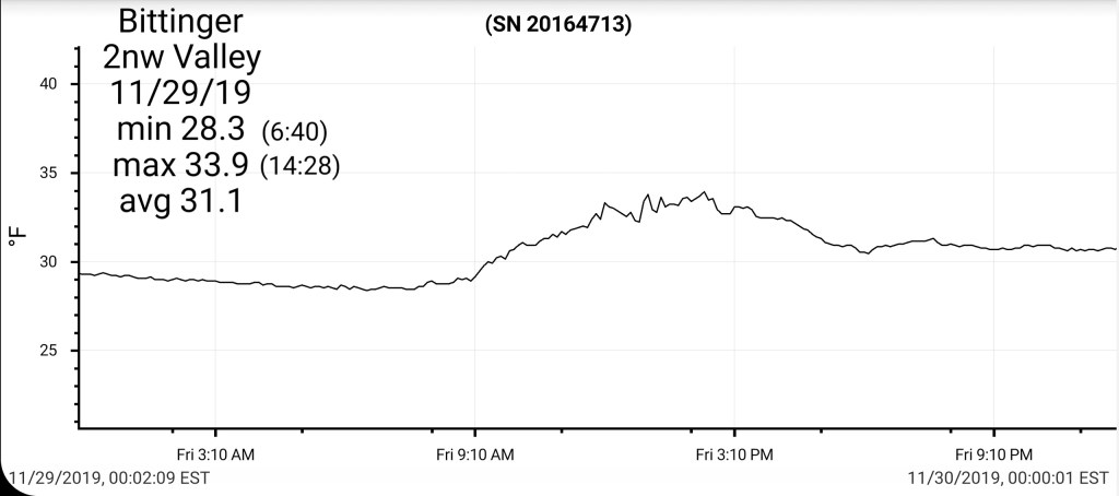
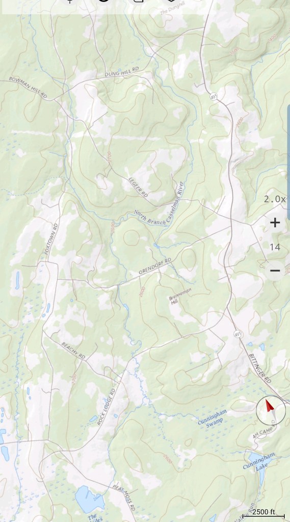
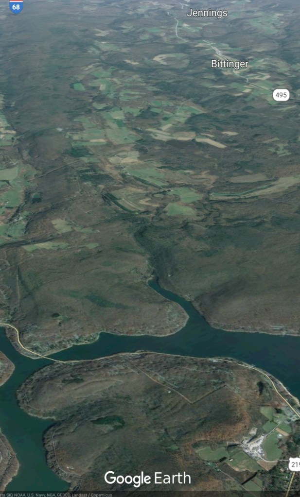
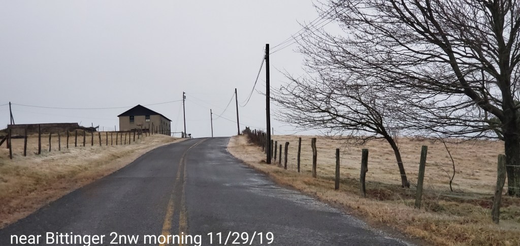
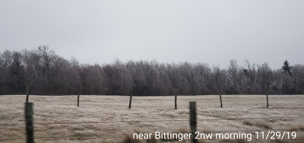
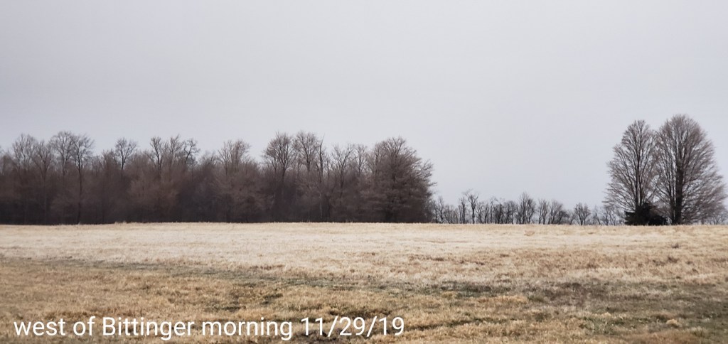
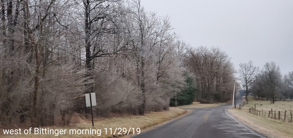
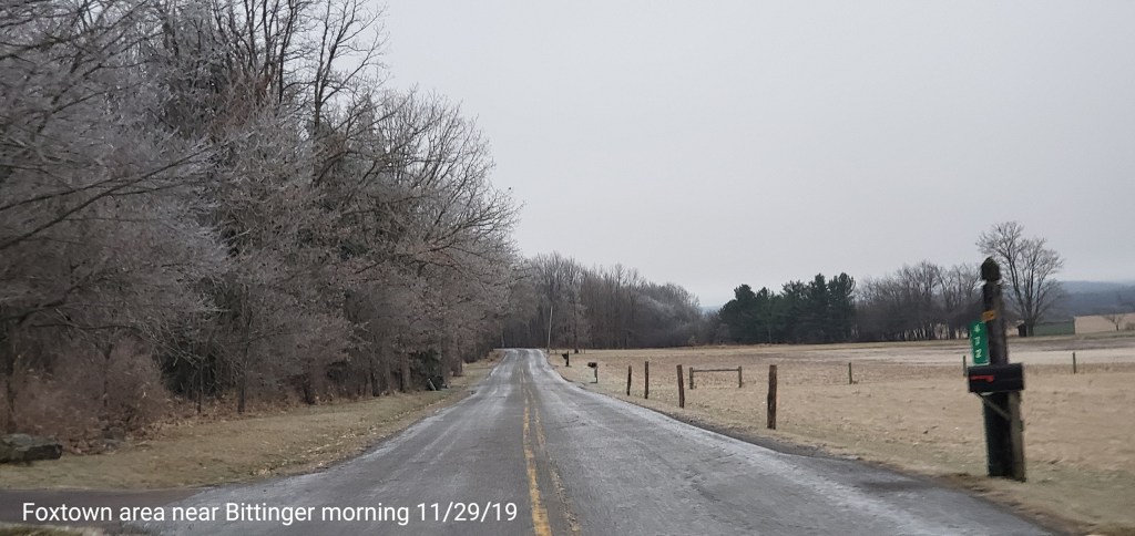
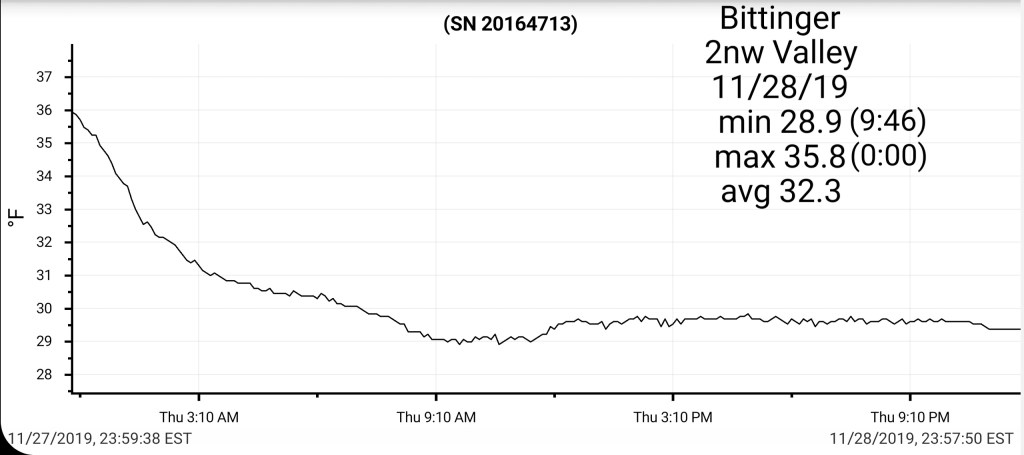
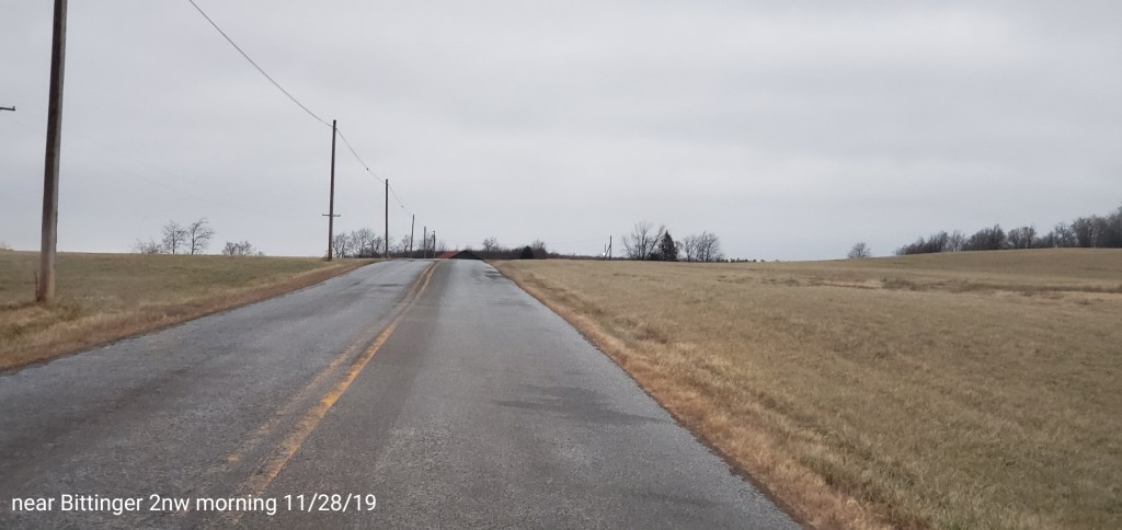
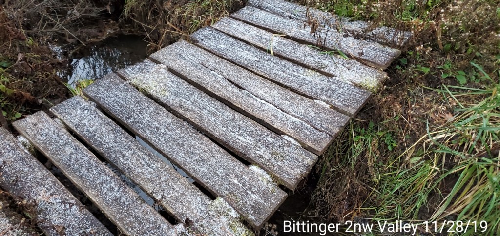
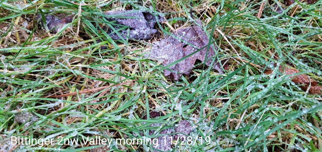
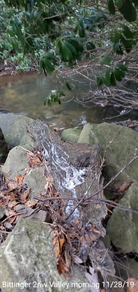
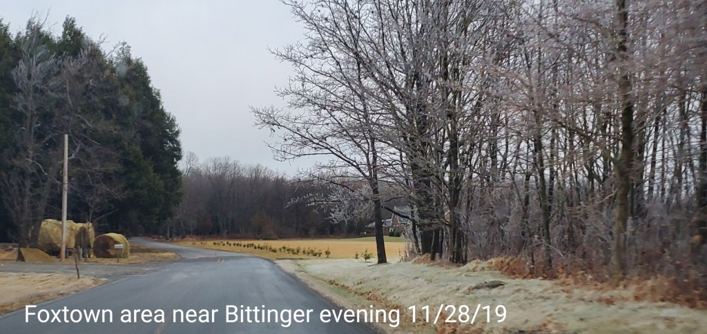
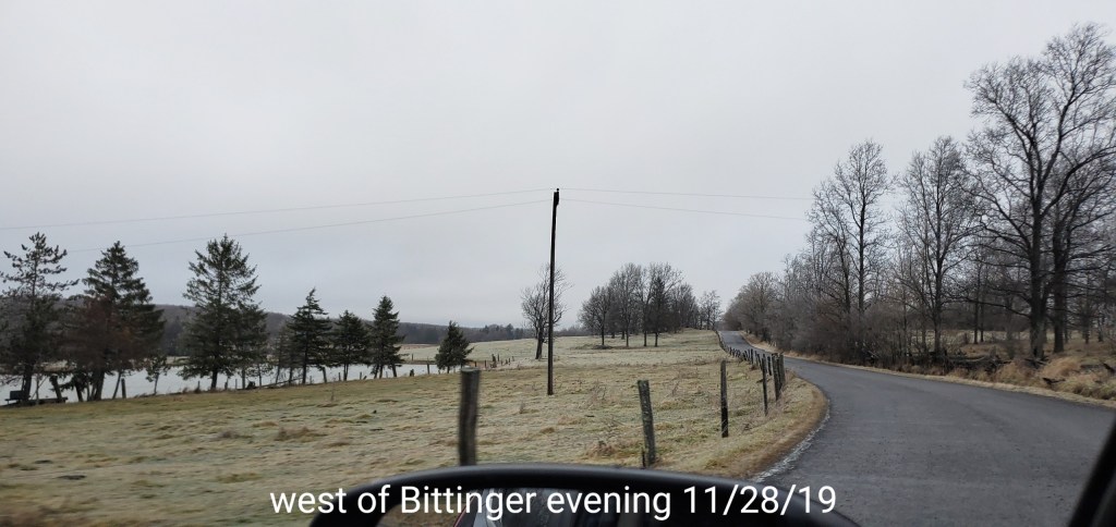
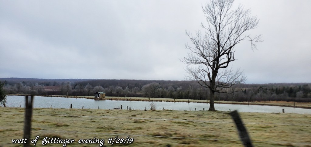
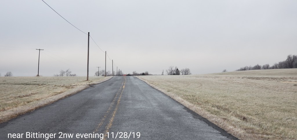
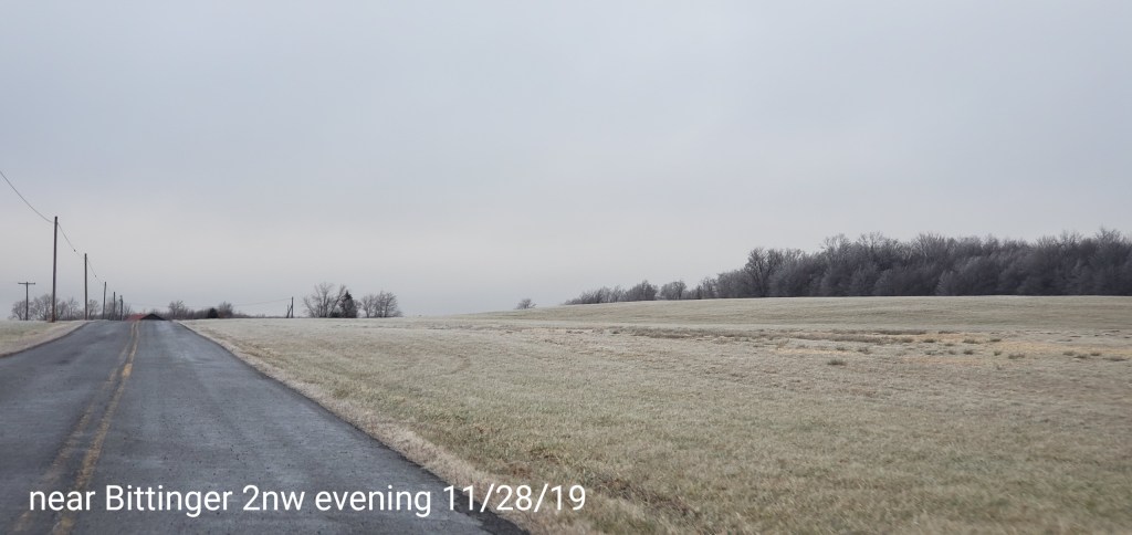
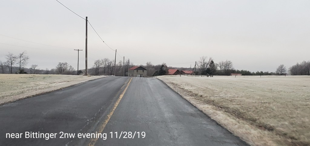
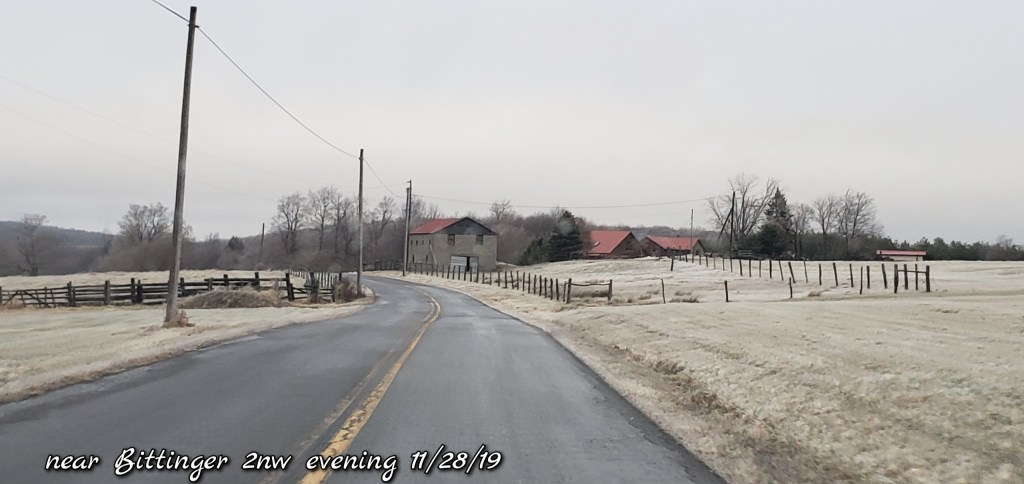
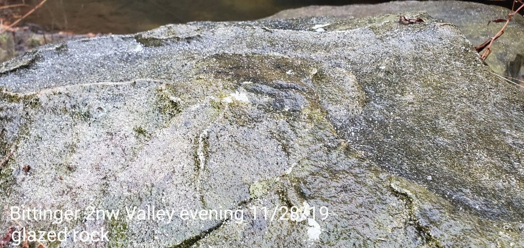
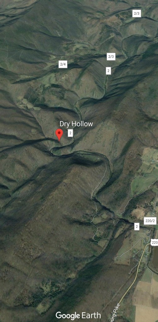
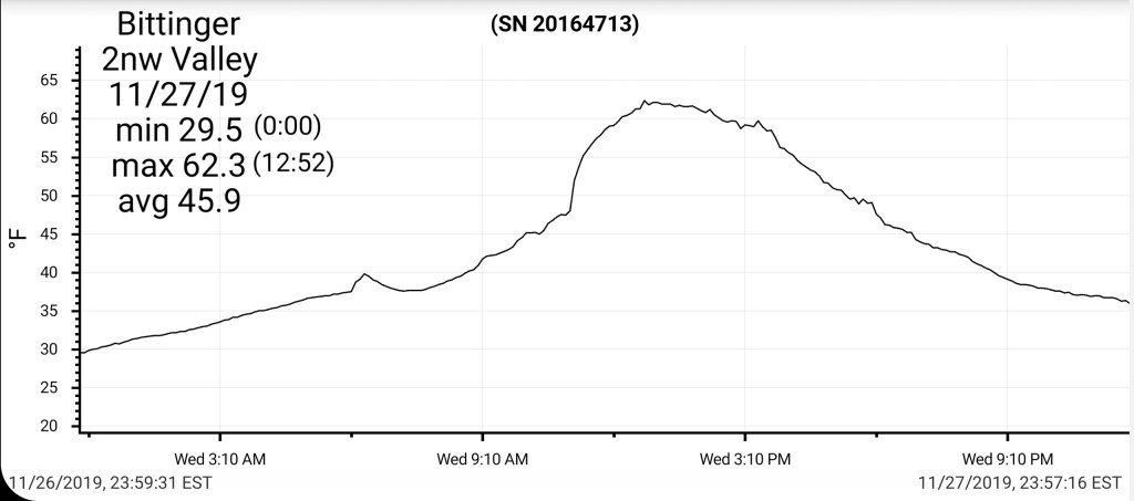
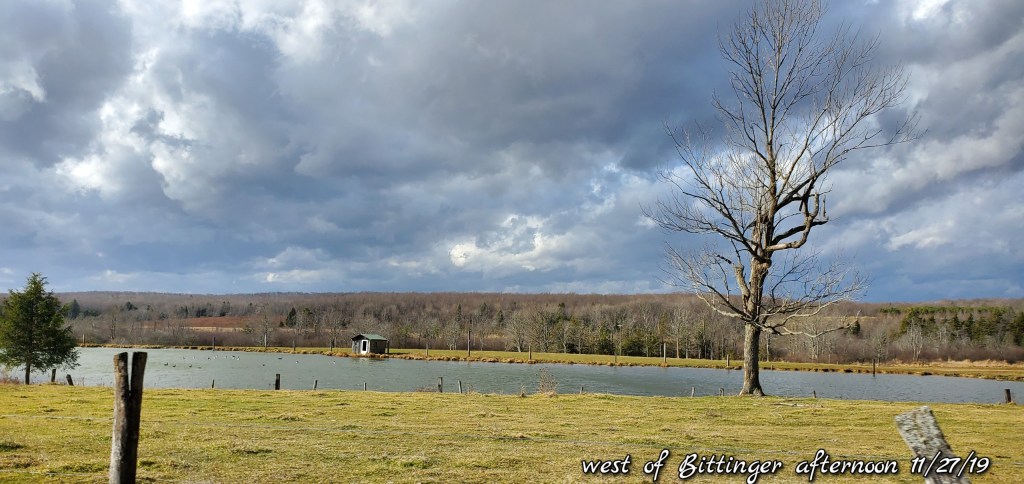
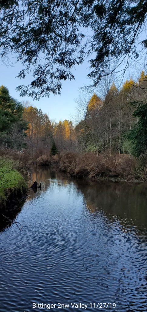
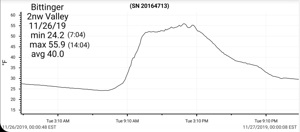
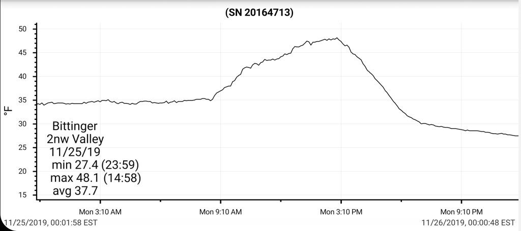
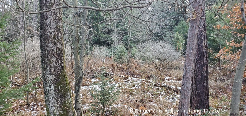
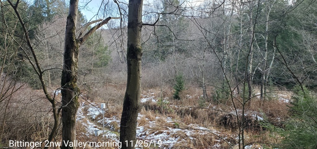
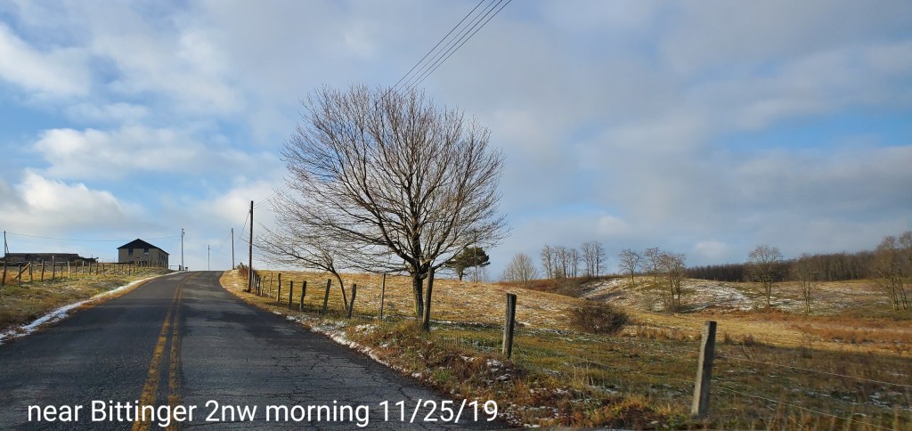
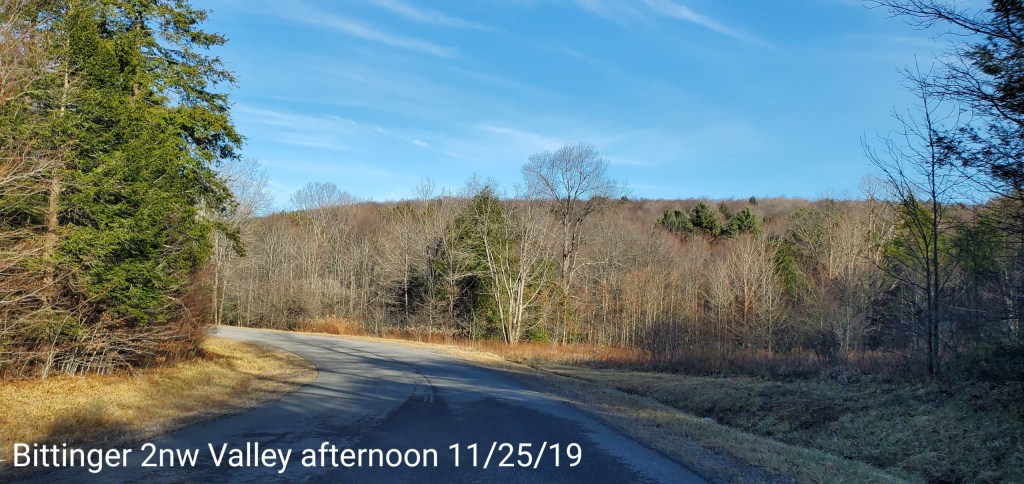
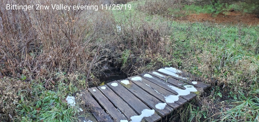
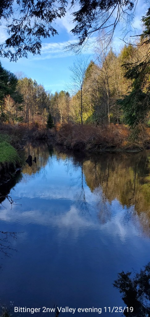
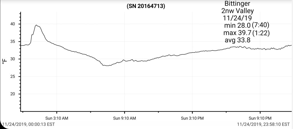
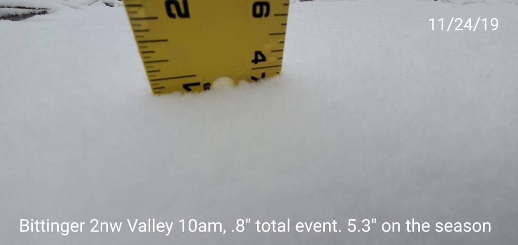
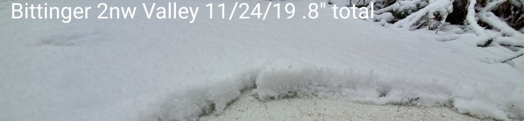
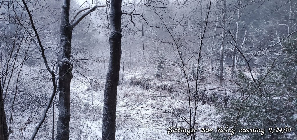
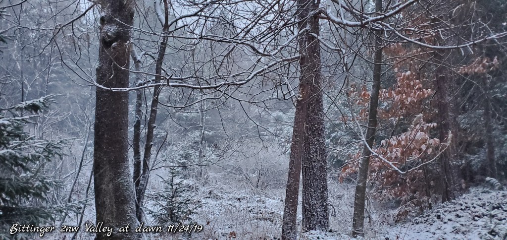
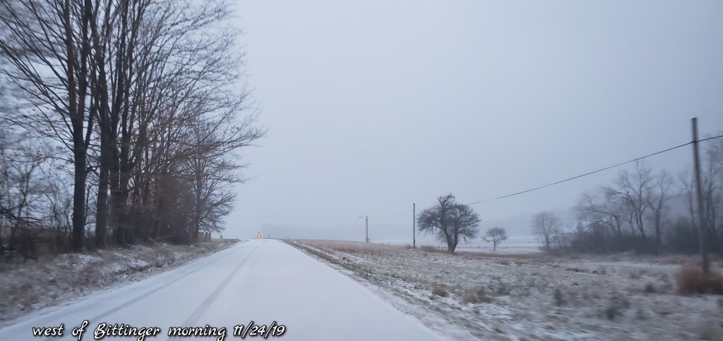
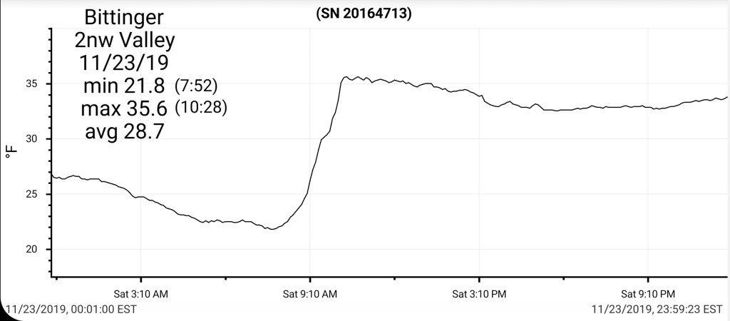
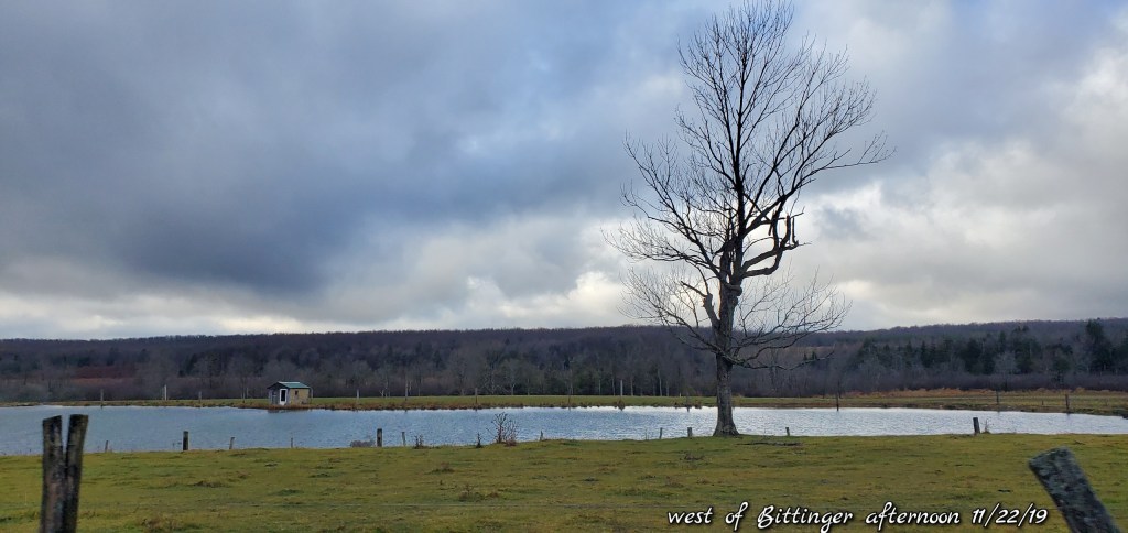
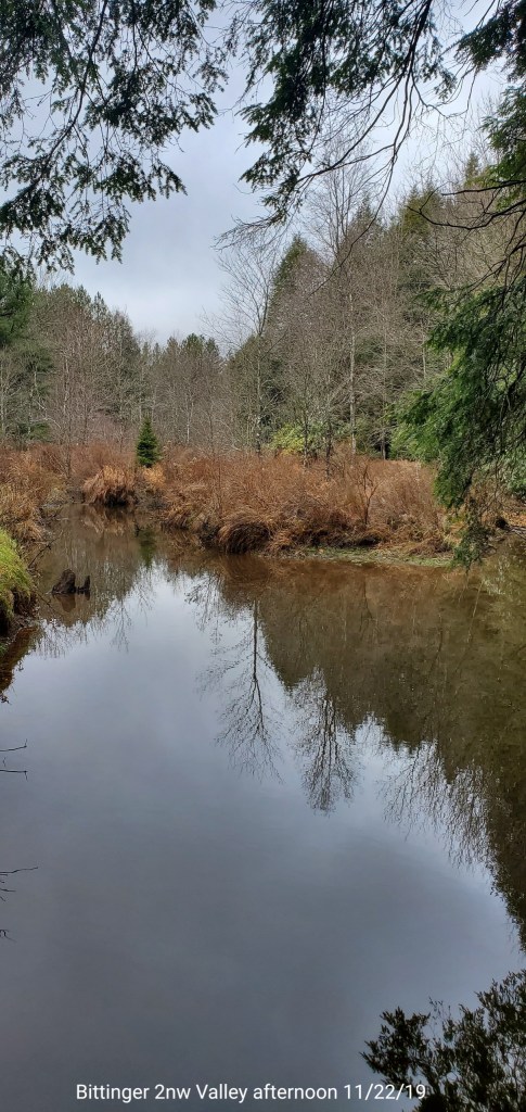
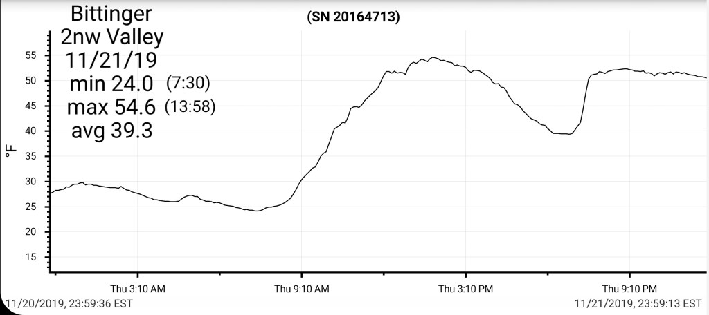
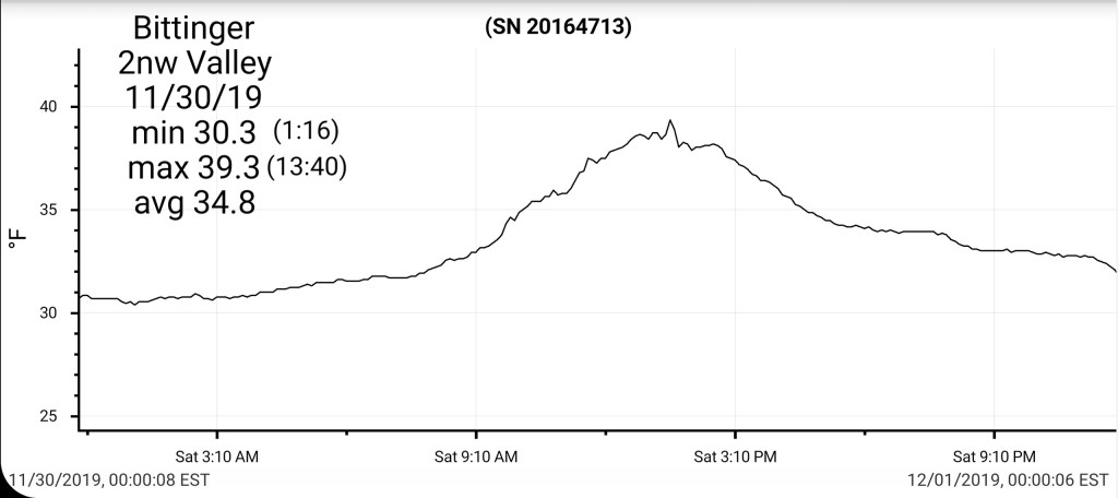
Bittinger 2nw Valley
MIN[30.3]—MAX[39.3]—AVG[34.8]—PRECIP [0]
Snowfall season to date 5.3″
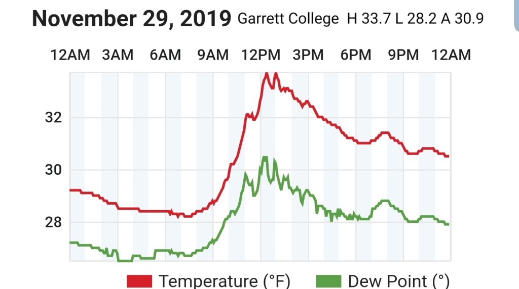
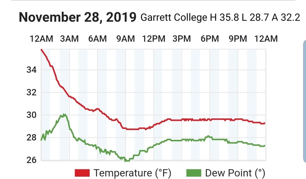
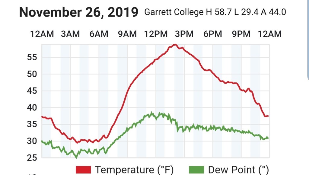
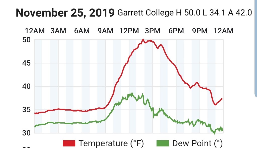
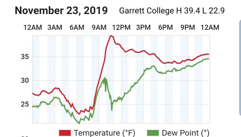
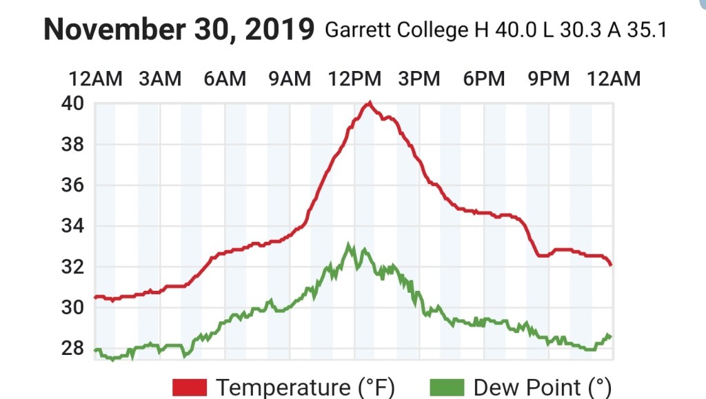
Garrett College
MIN[30.3]—MAX[40.0]—AVG[35.1]—PRECIP[0]
Canaan Heights/Davis 3SE
MIN[30.8]—MAX[41.6]—AVG[36.2]—PRECIP[0]
Snowfall season to date 8.9″
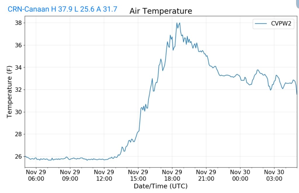
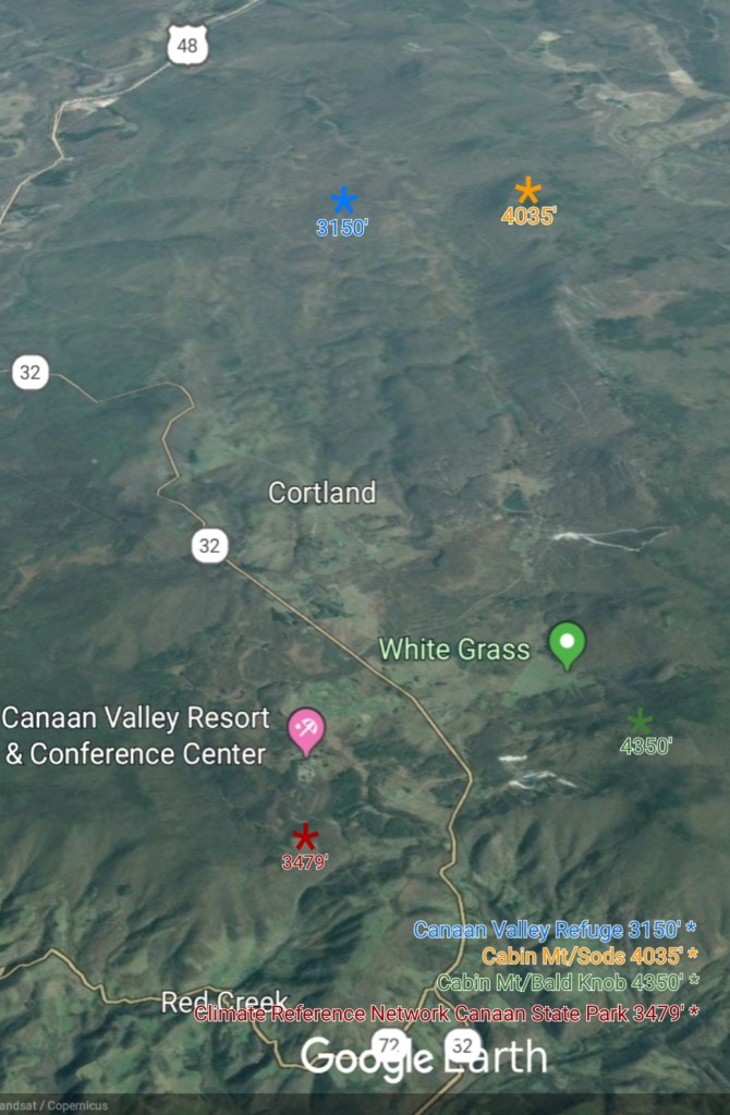
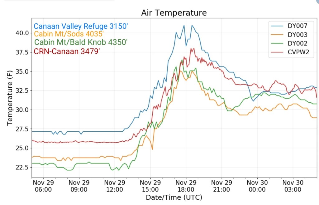
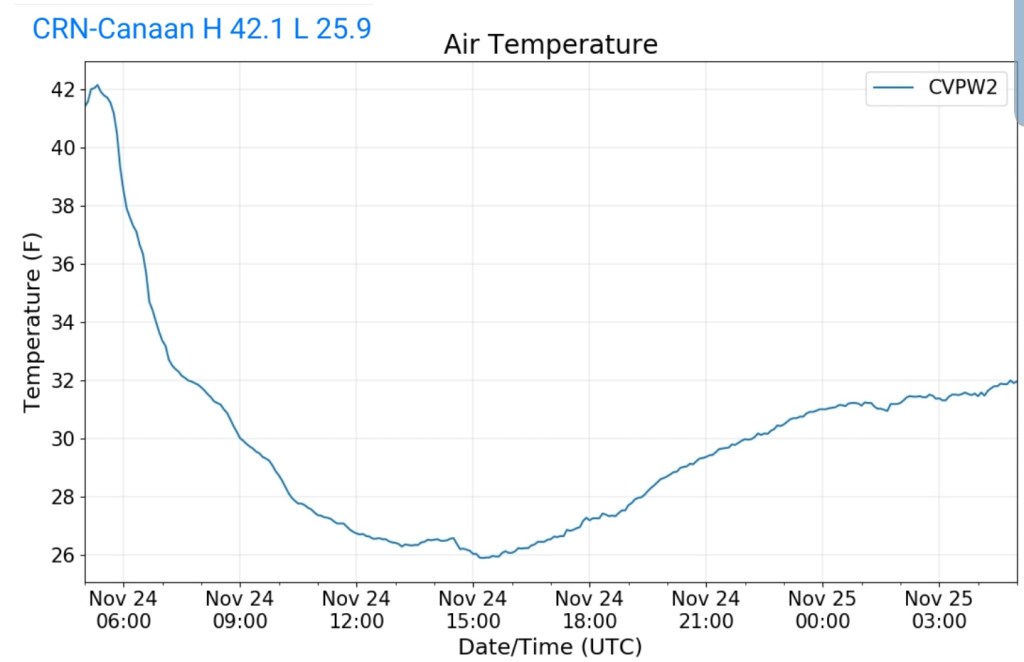
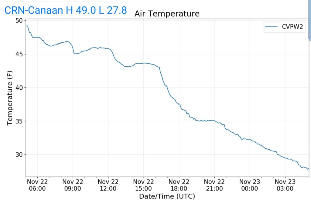
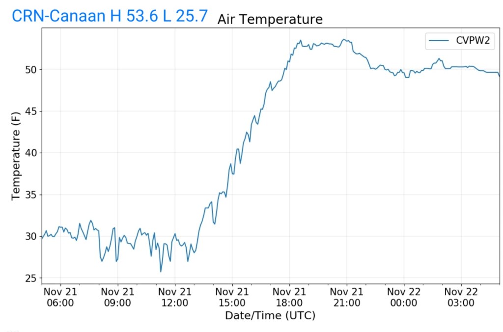
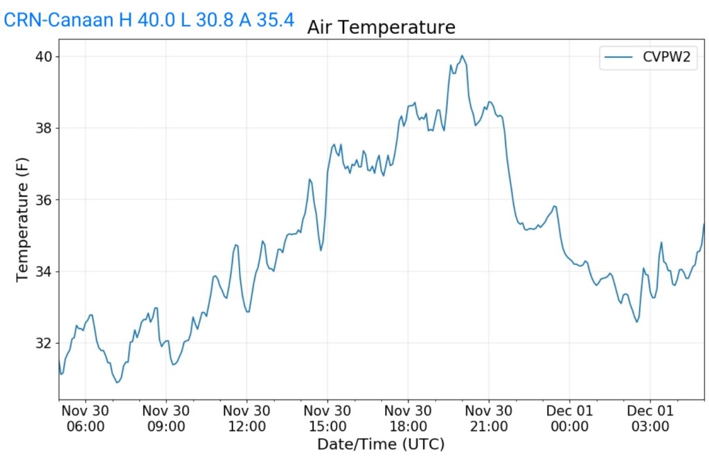
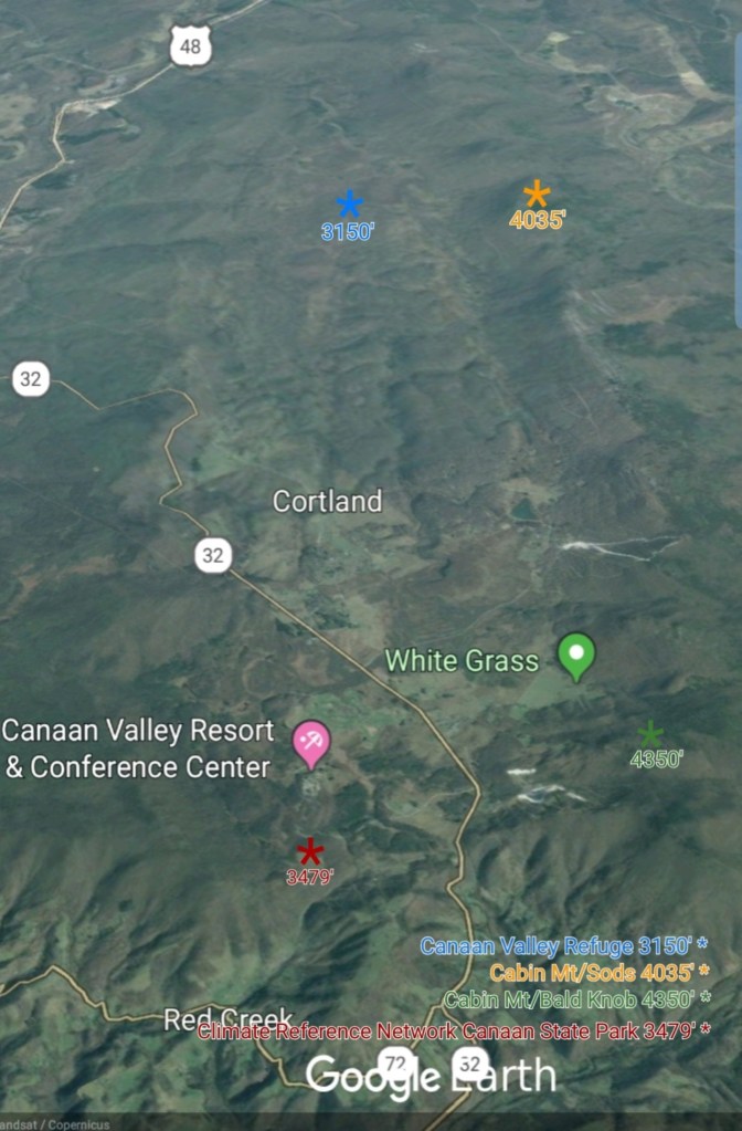
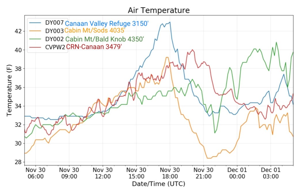
Climate Reference Network Canaan
MIN[30.8]—MAX[40.0]—AVG[35.4]—PRECIP[0]
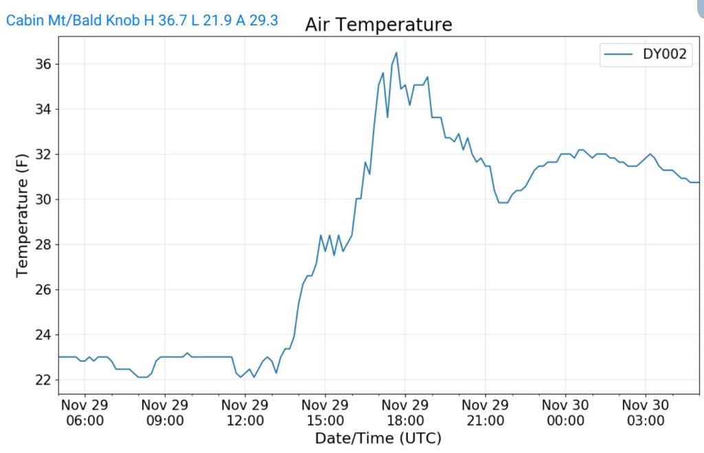
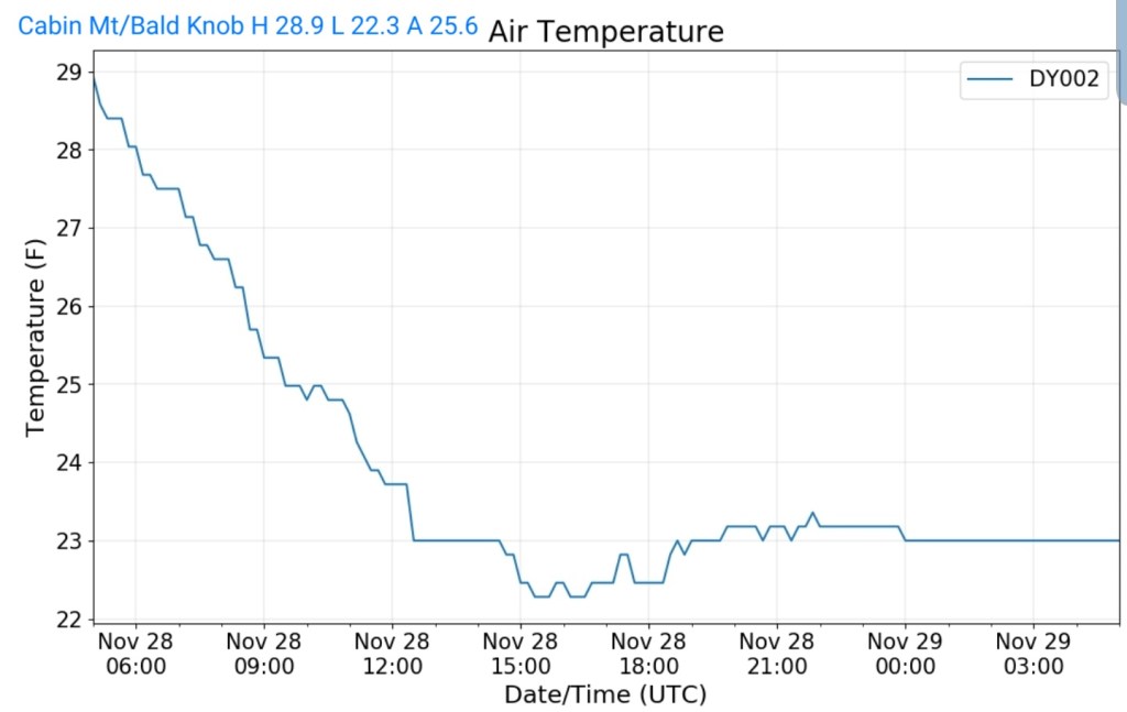
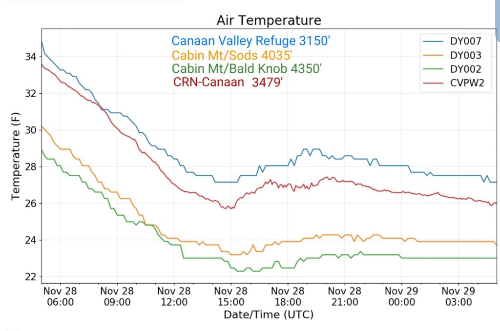
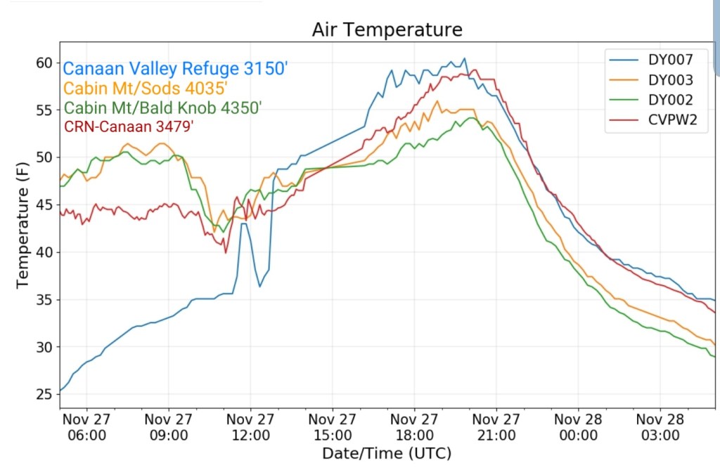
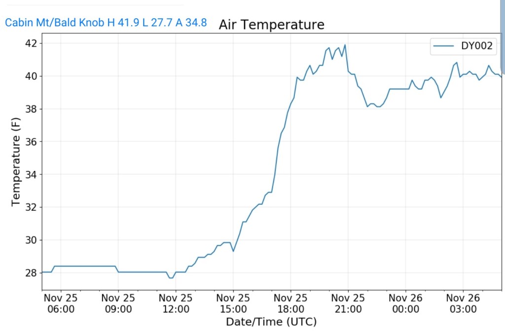
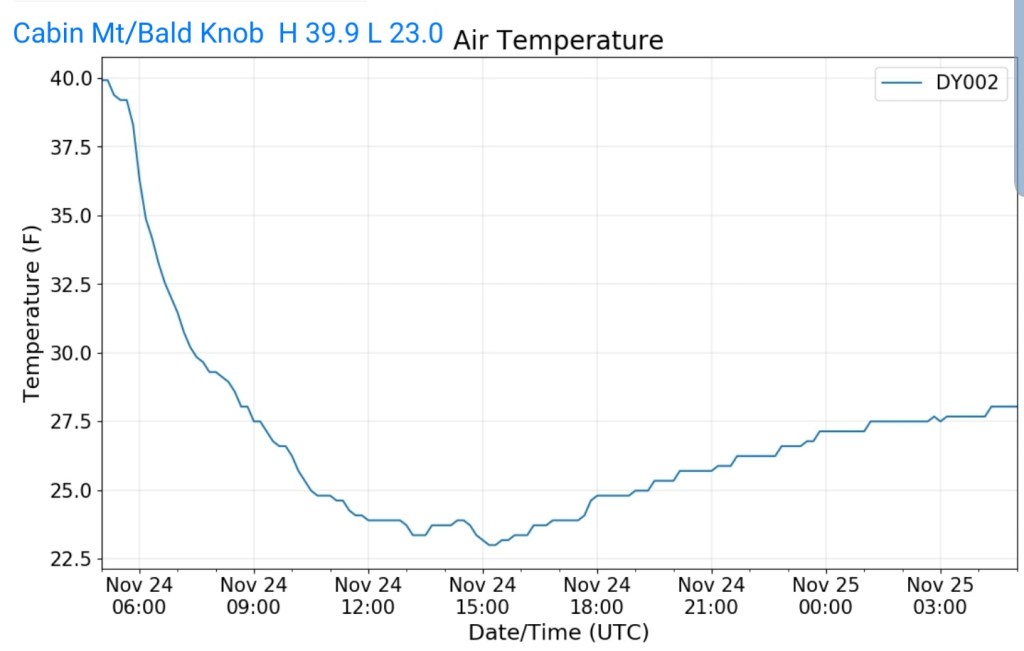
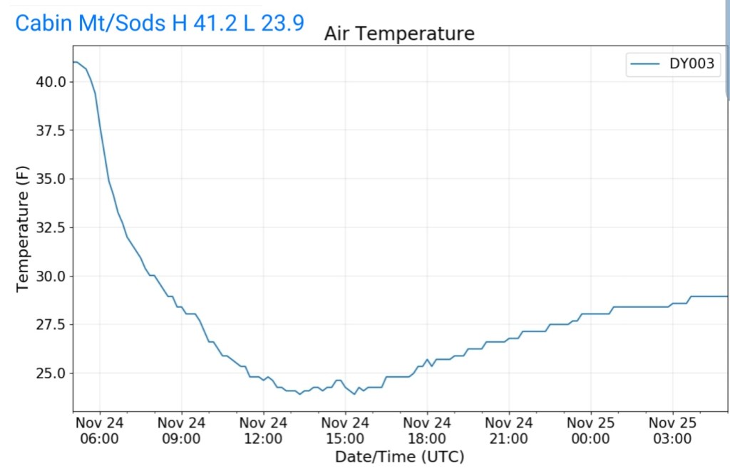
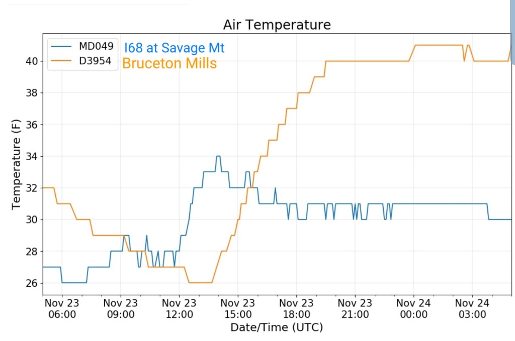
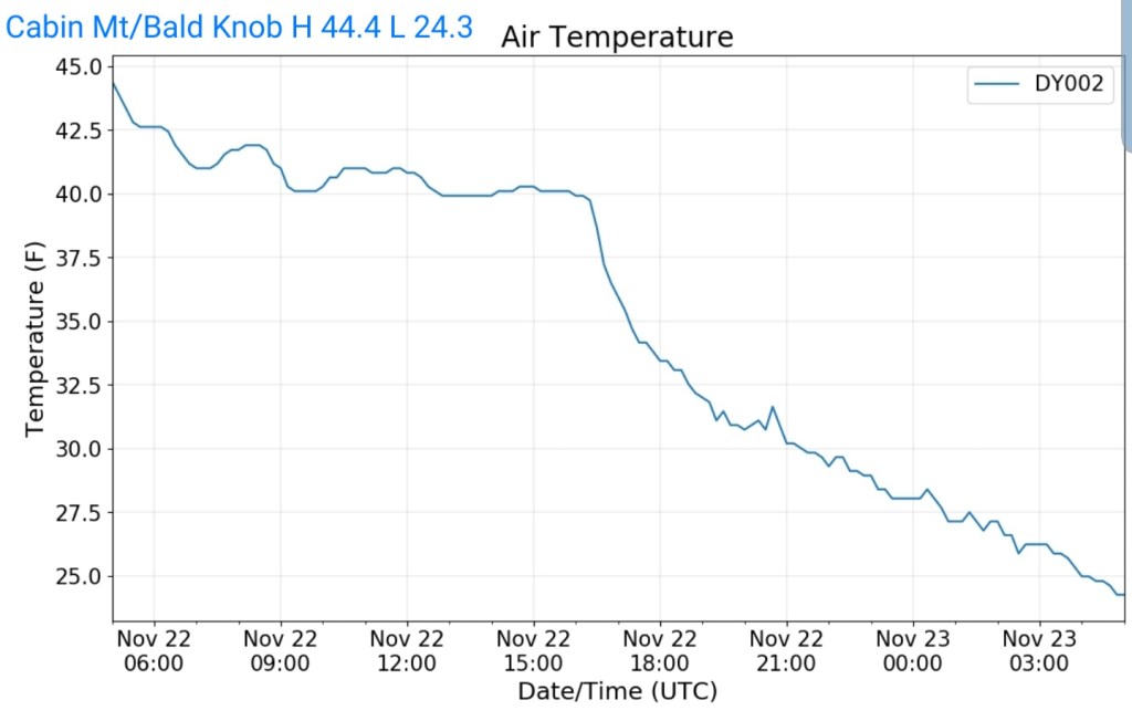
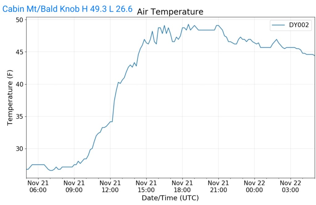
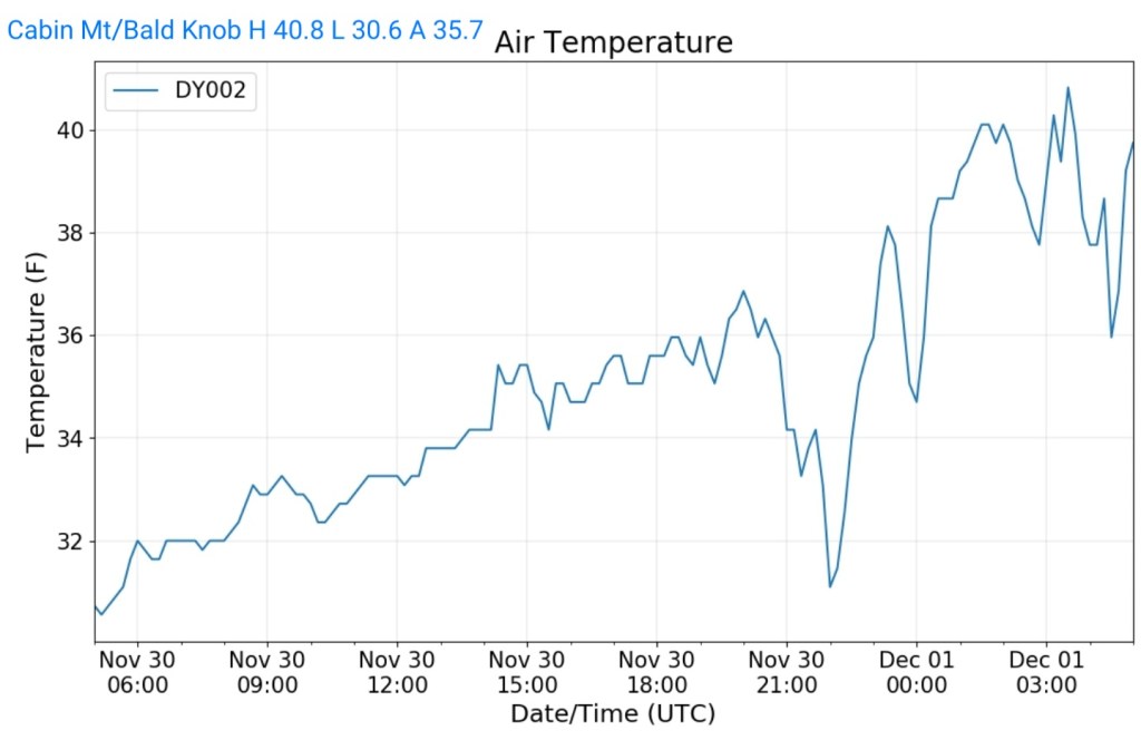
Cabin Mt at Bald Knob
MIN[30.6]—MAX[40.8]—AVG[35.7]—PRECIP[.09]
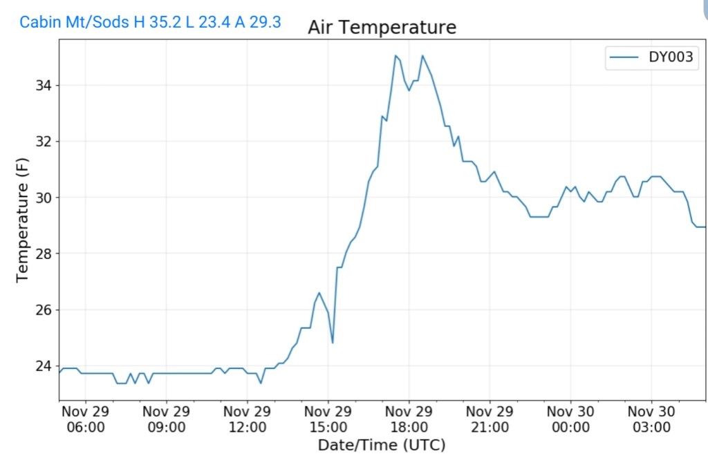
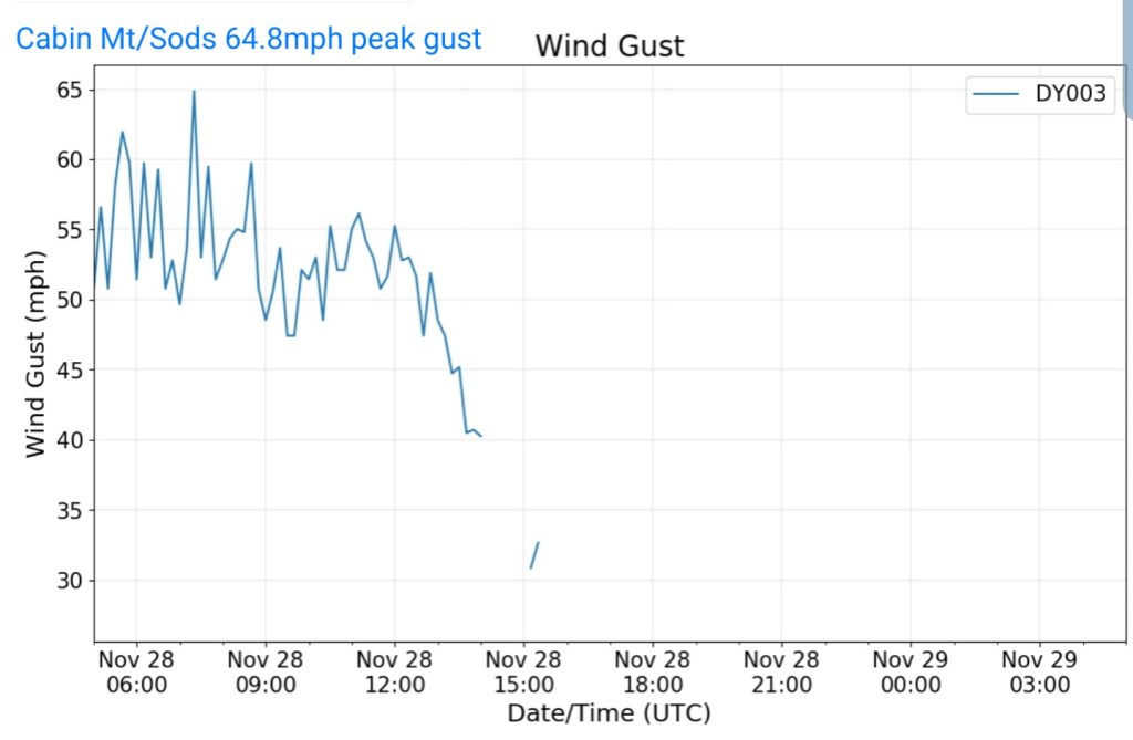
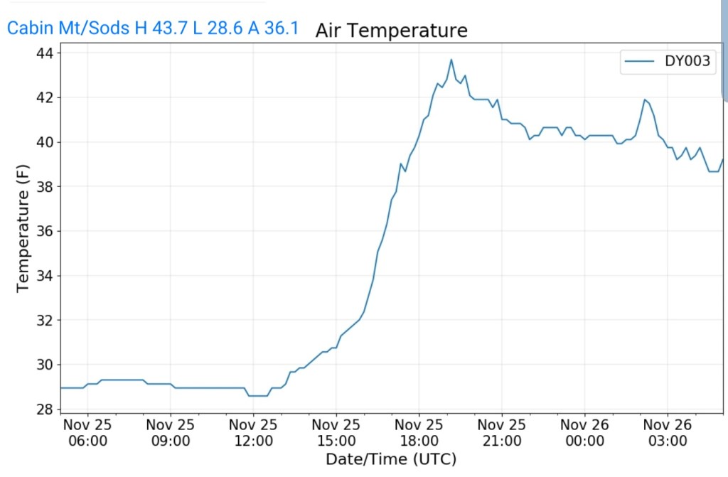
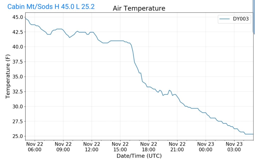
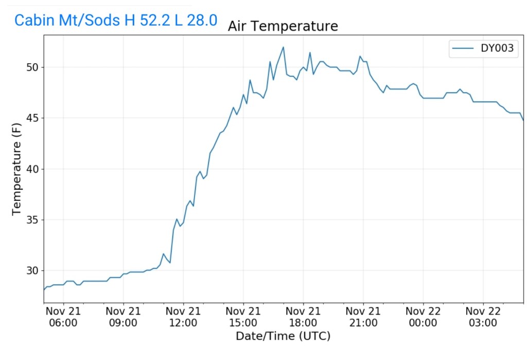
Cabin Mt-Western Sods
MIN[28.4]—MAX[39.2]—AVG[33.8]—PRECIP[.05]

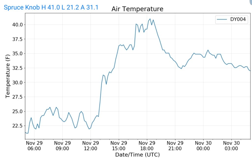
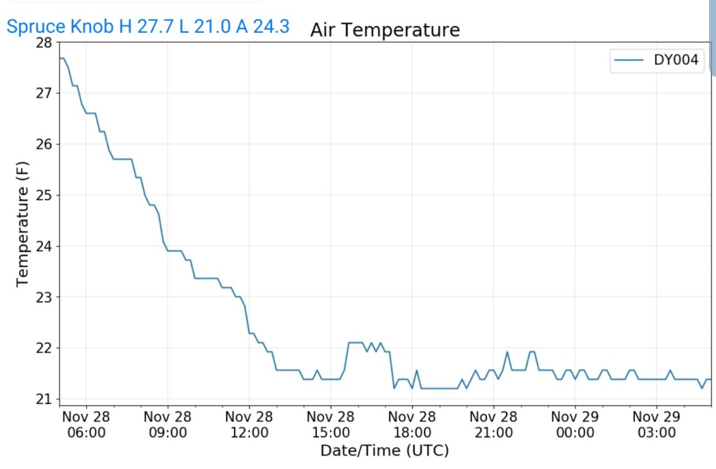
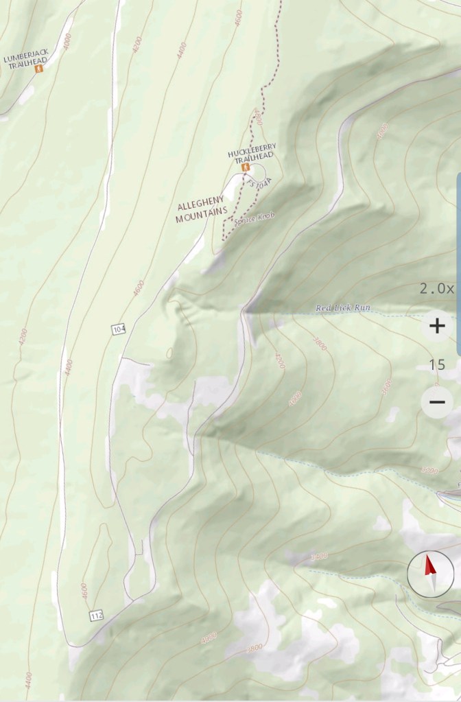
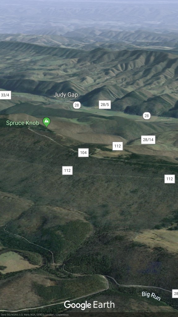
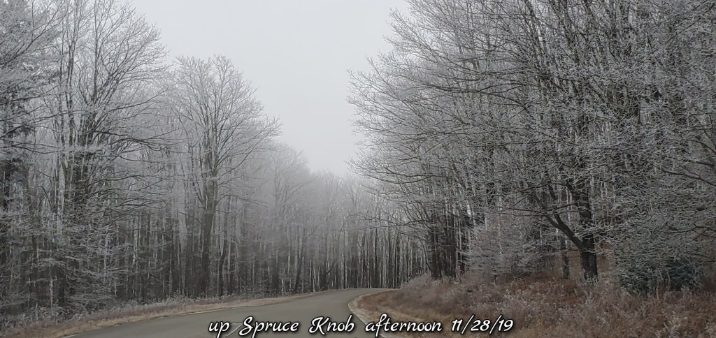
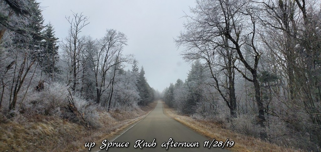
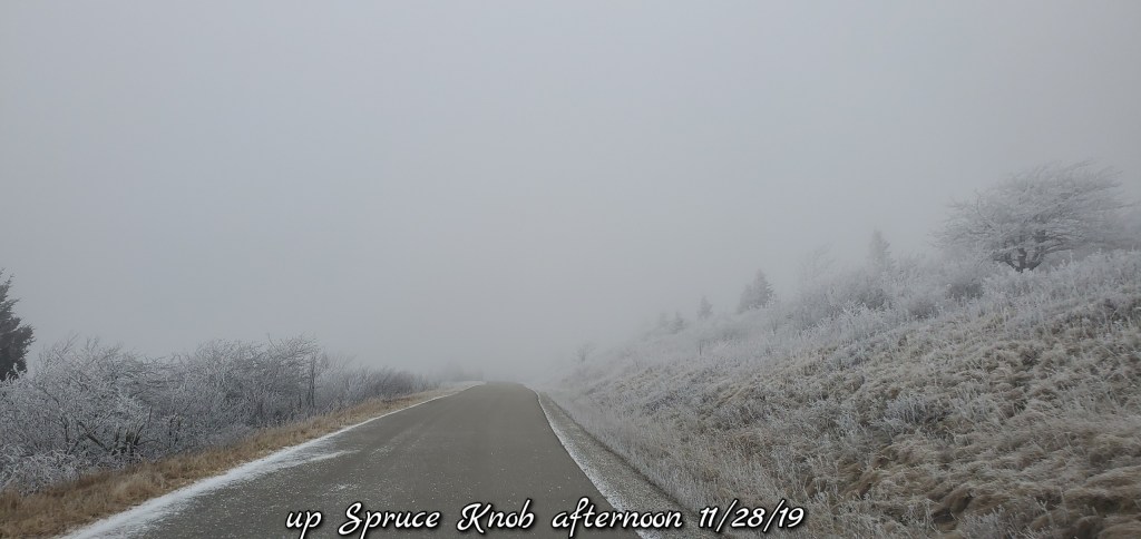
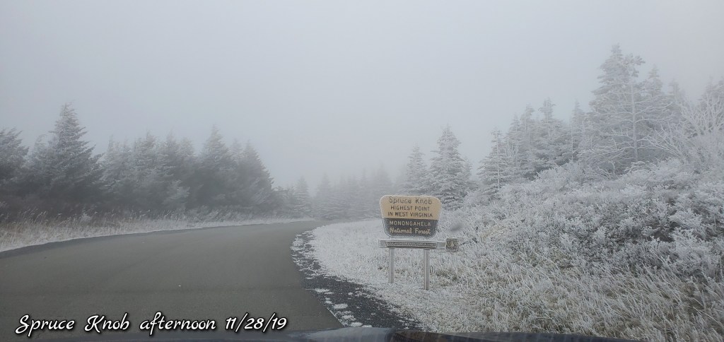
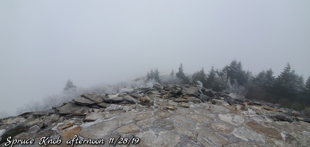
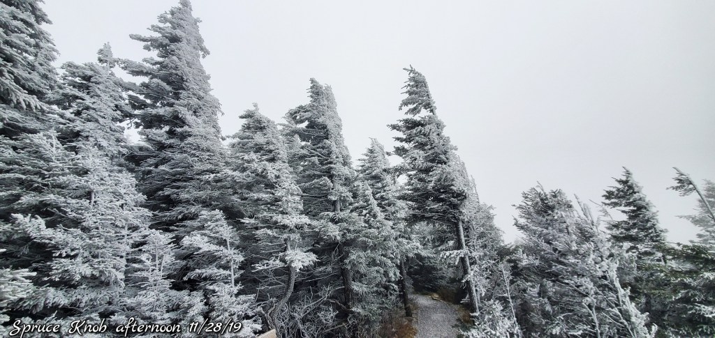
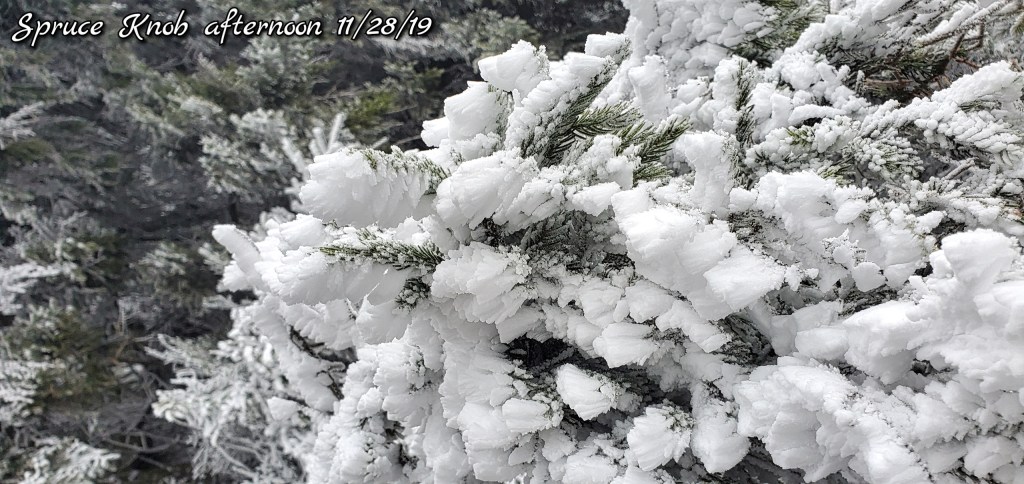
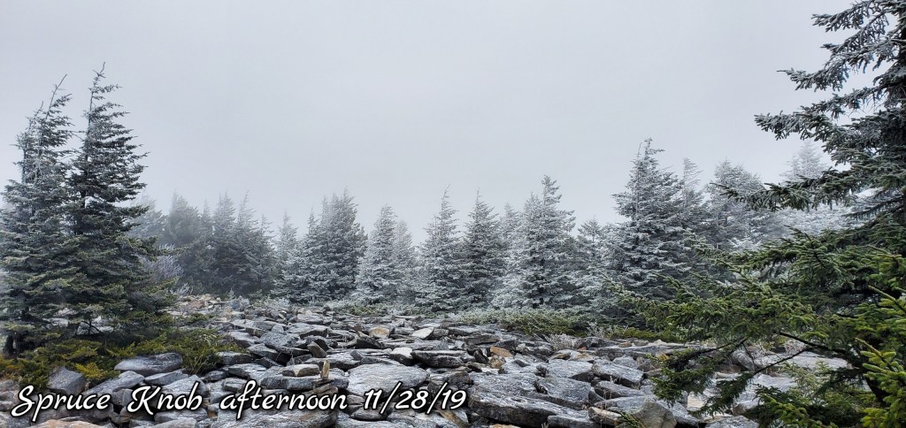
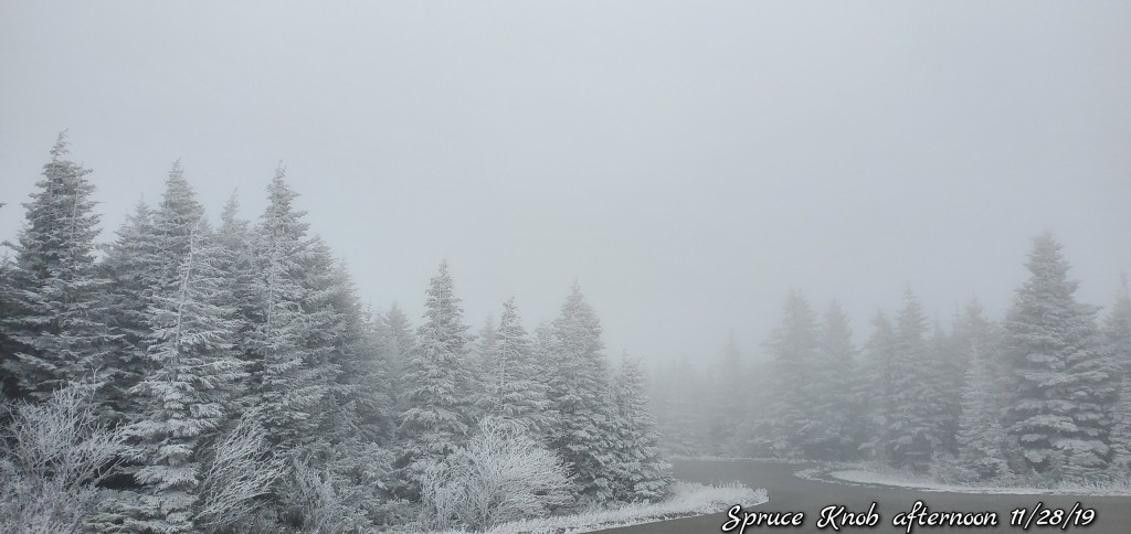
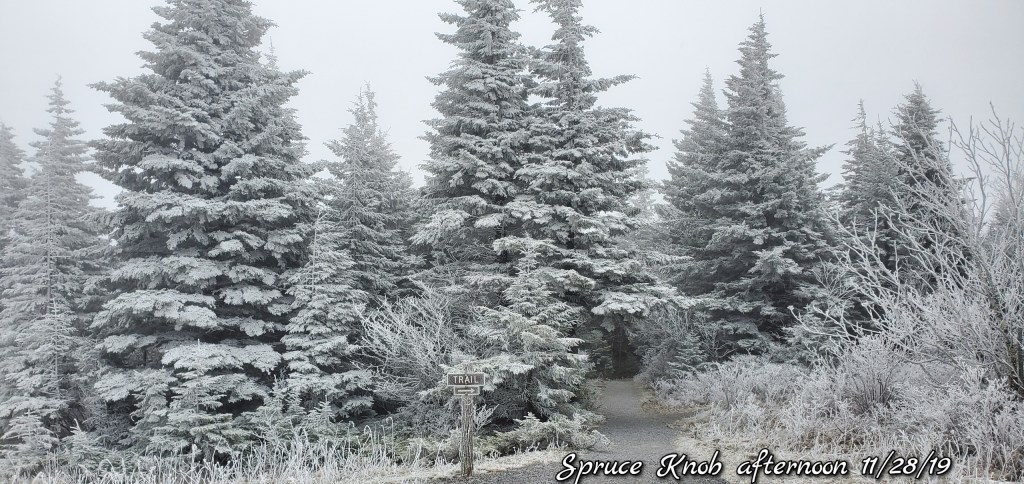
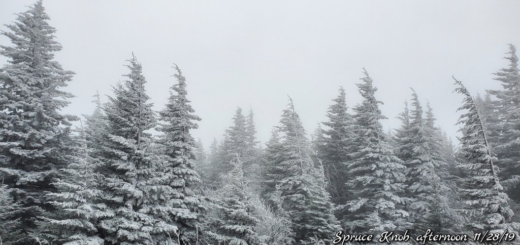
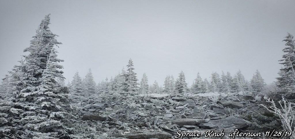
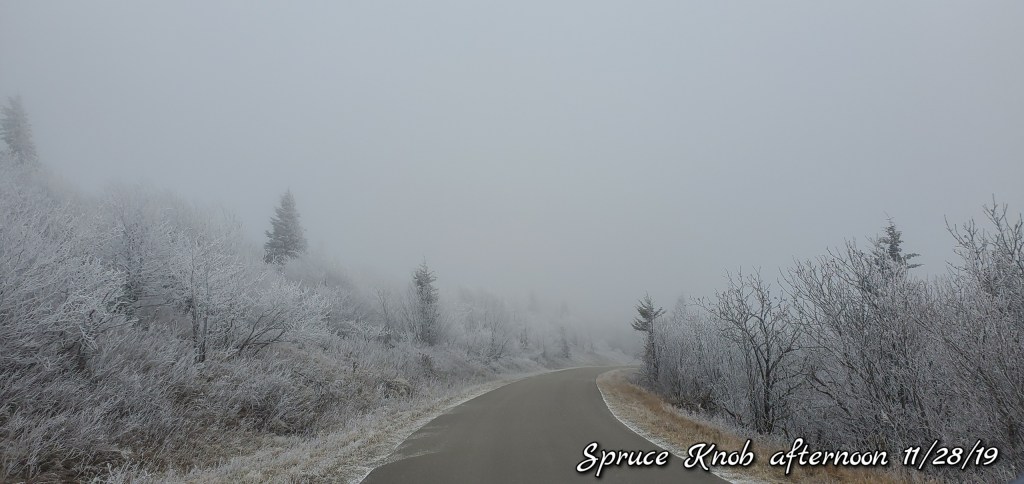
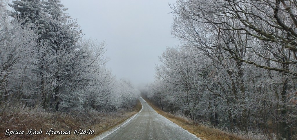
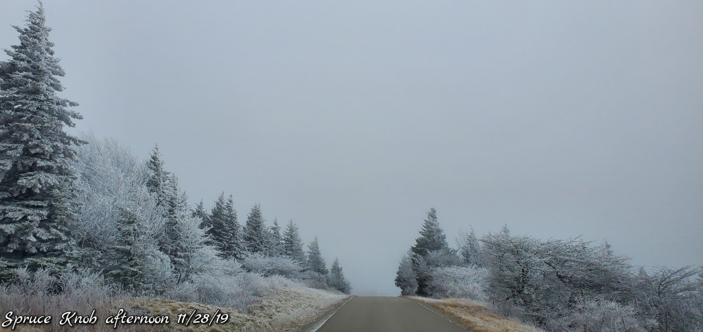
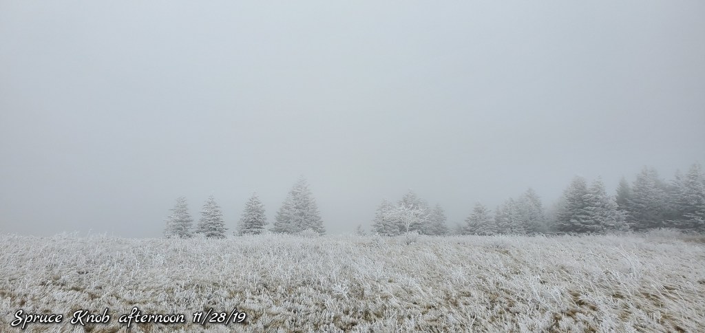
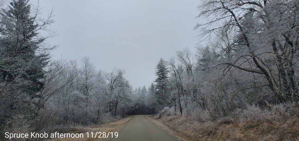
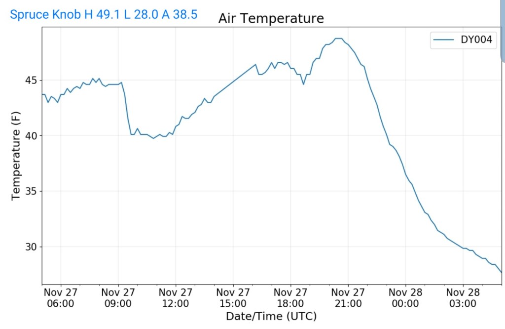
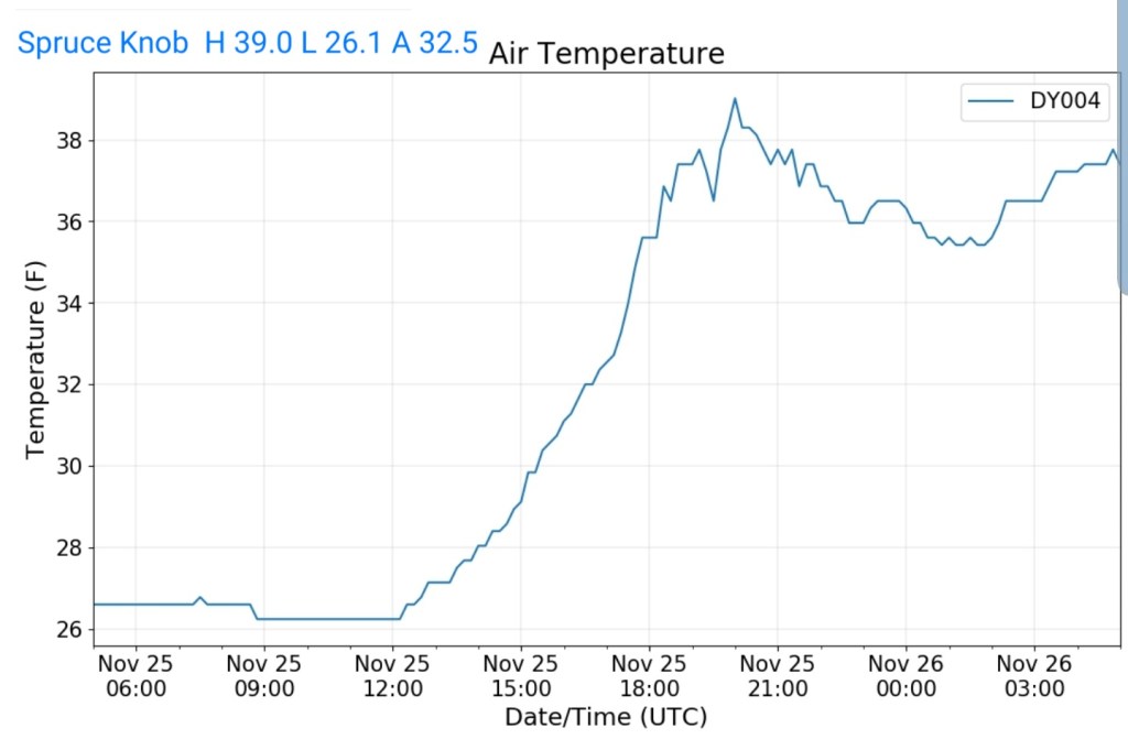
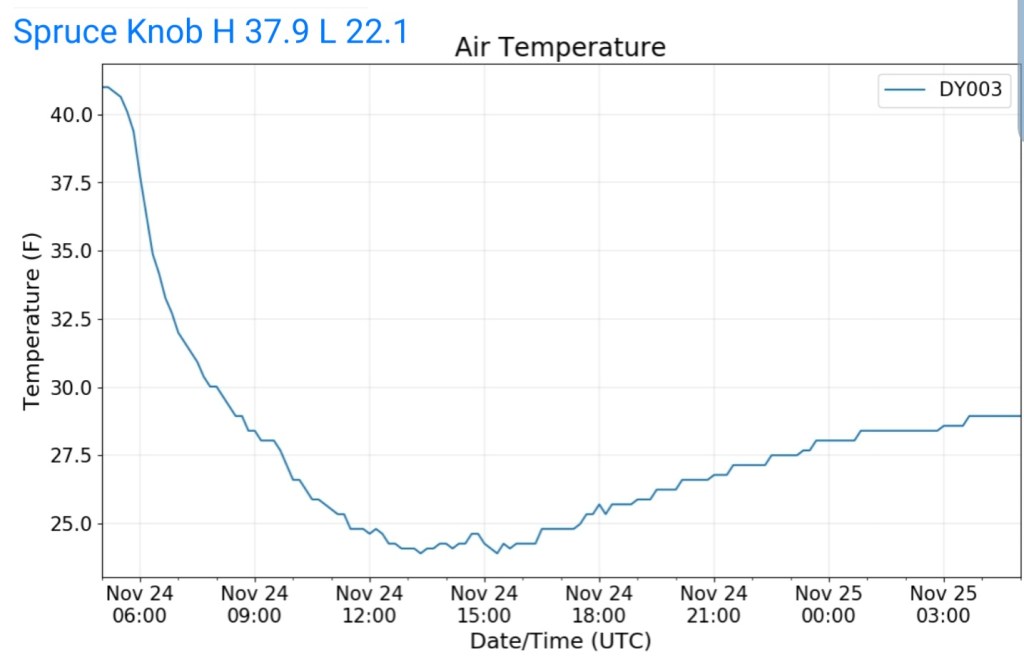
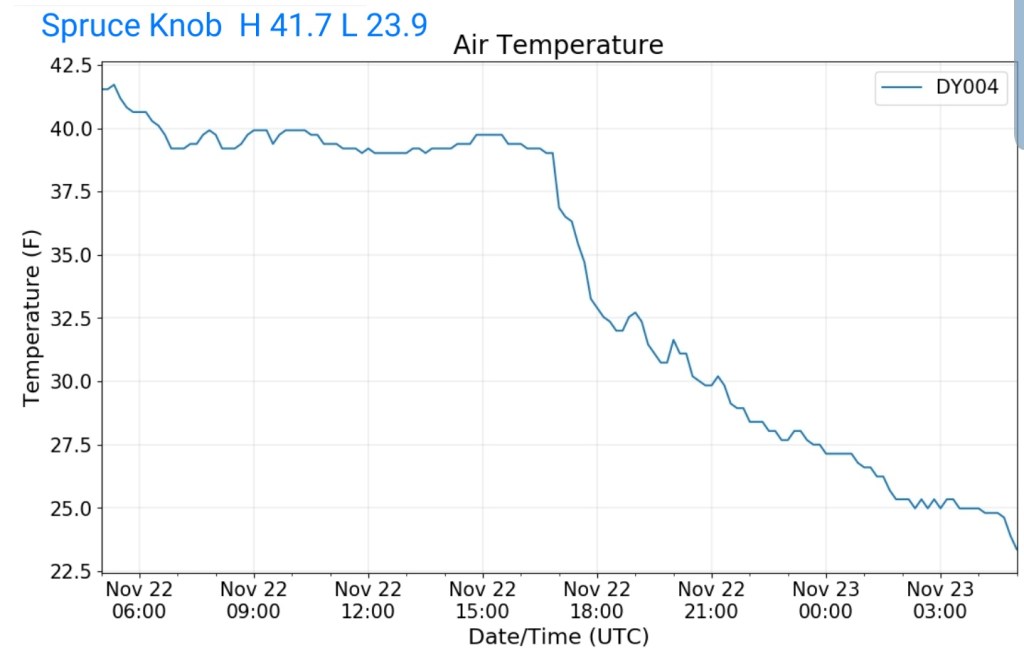
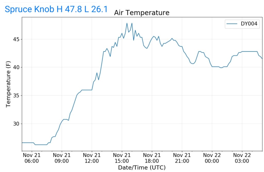
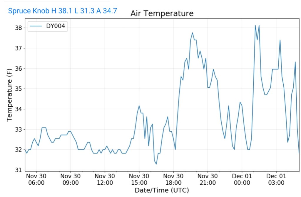
Spruce Knob
MIN[31.3]—MAX[38.1]—AVG[34.7]—PRECIP[.02]
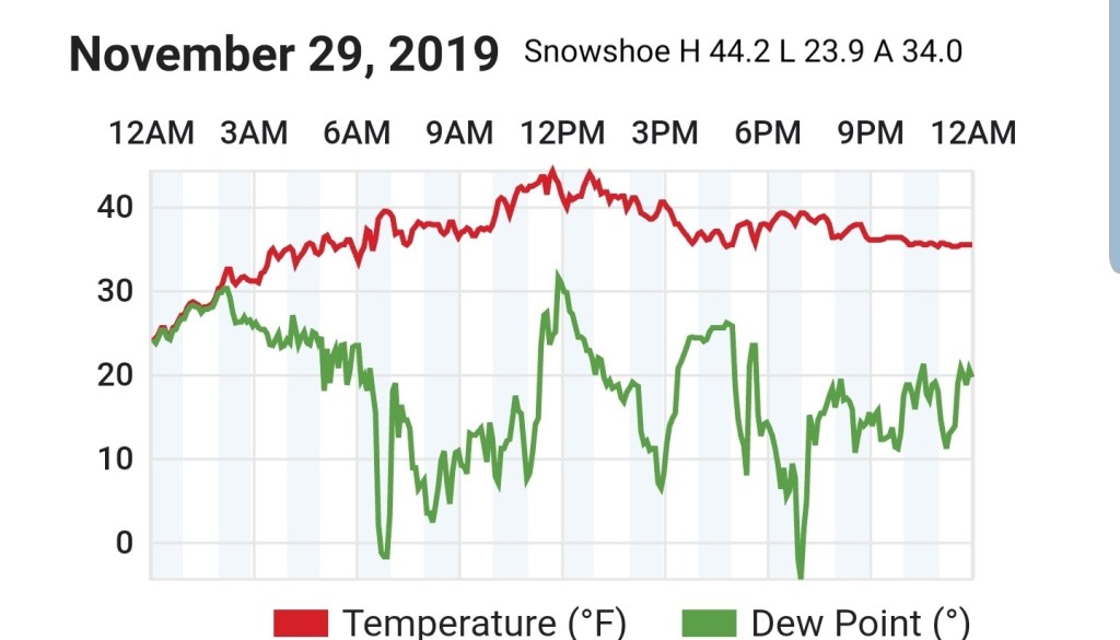
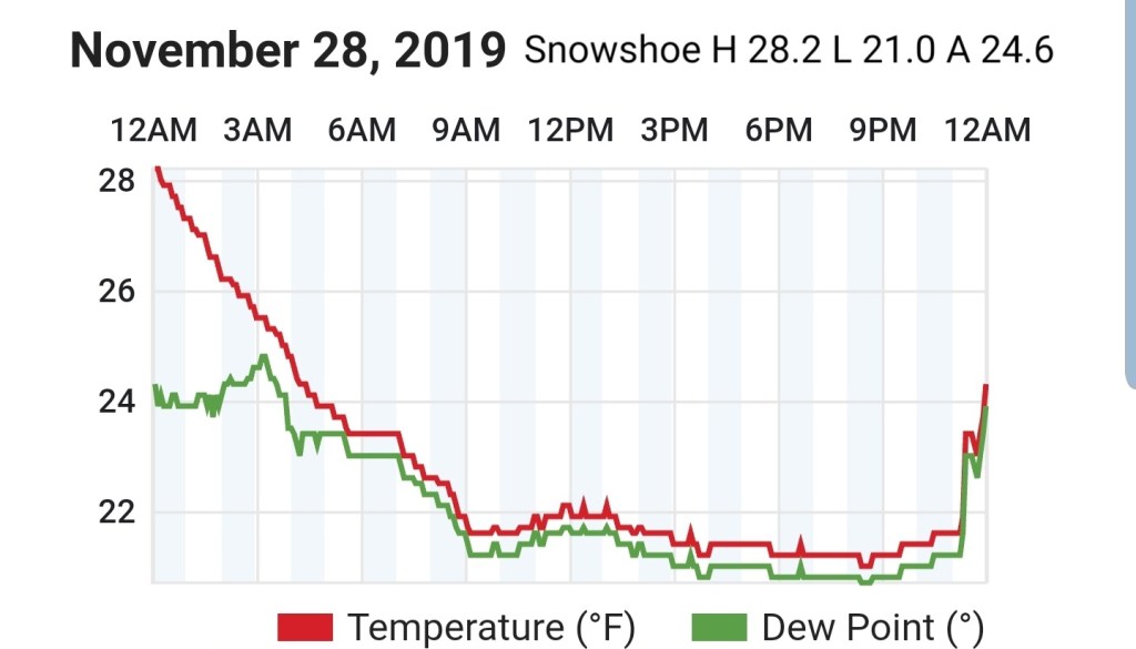
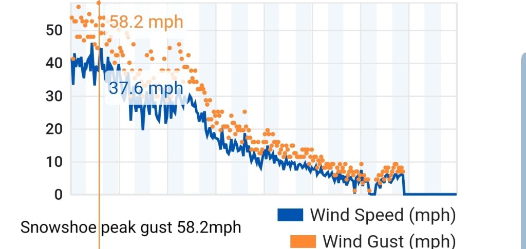
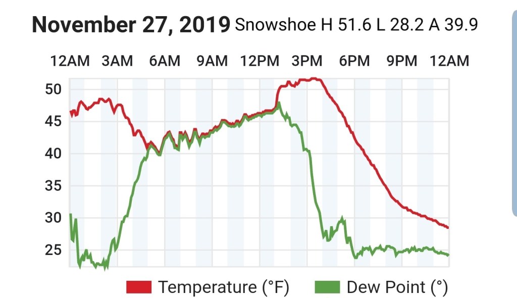
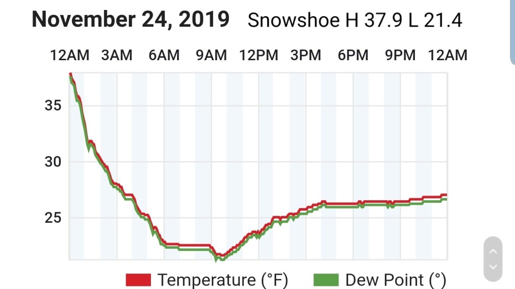
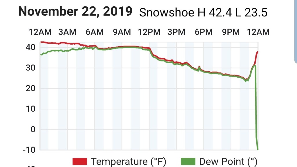
Snowshoe
MIN 32.5—MAX[45.0]—AVG[38.7]

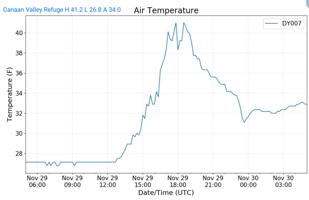
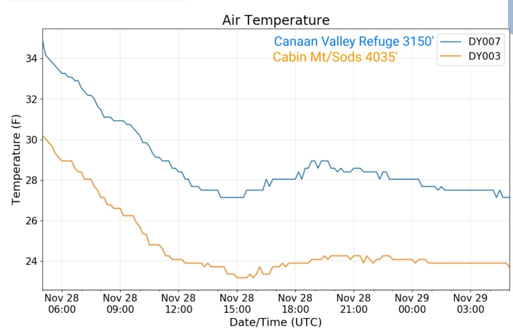
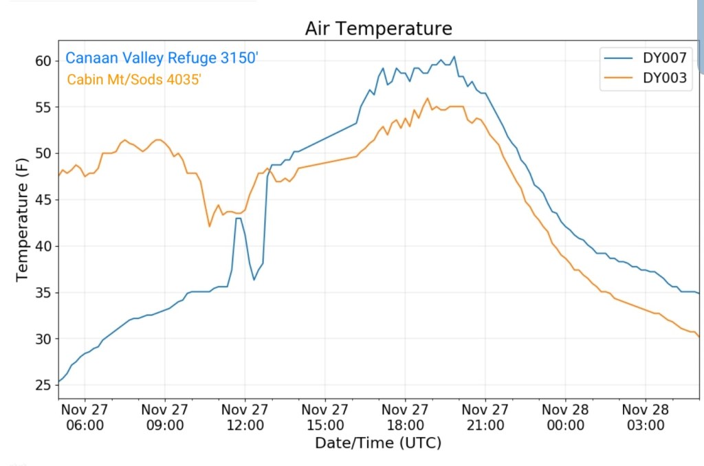
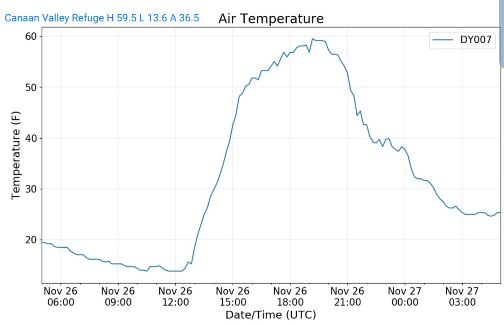
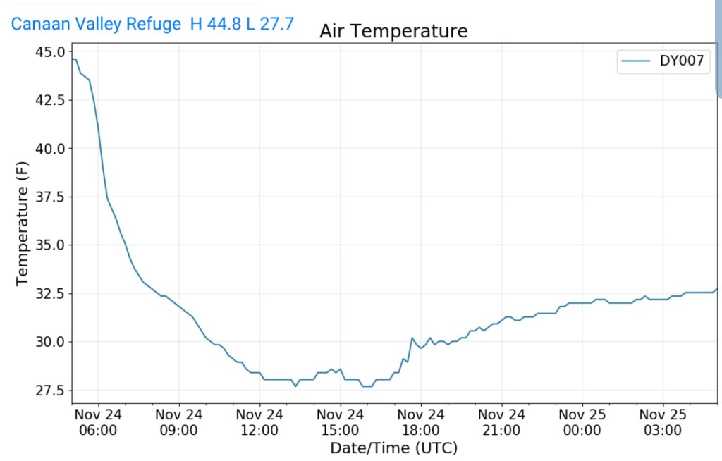
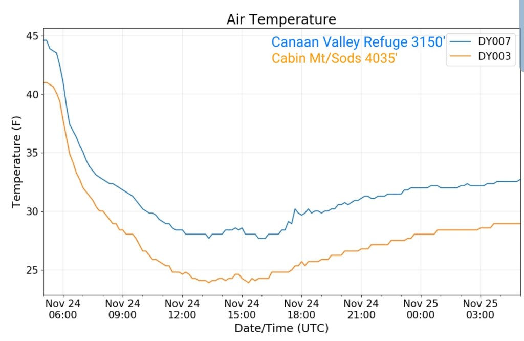
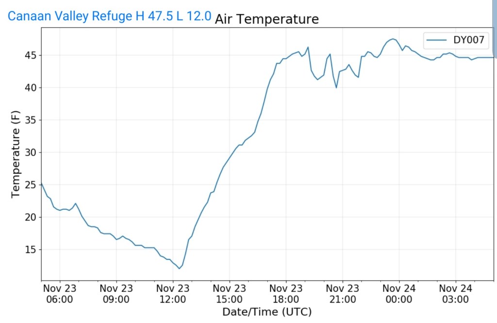
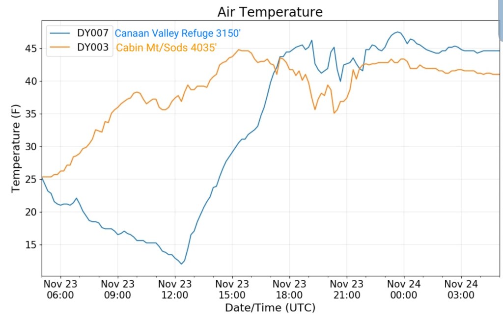
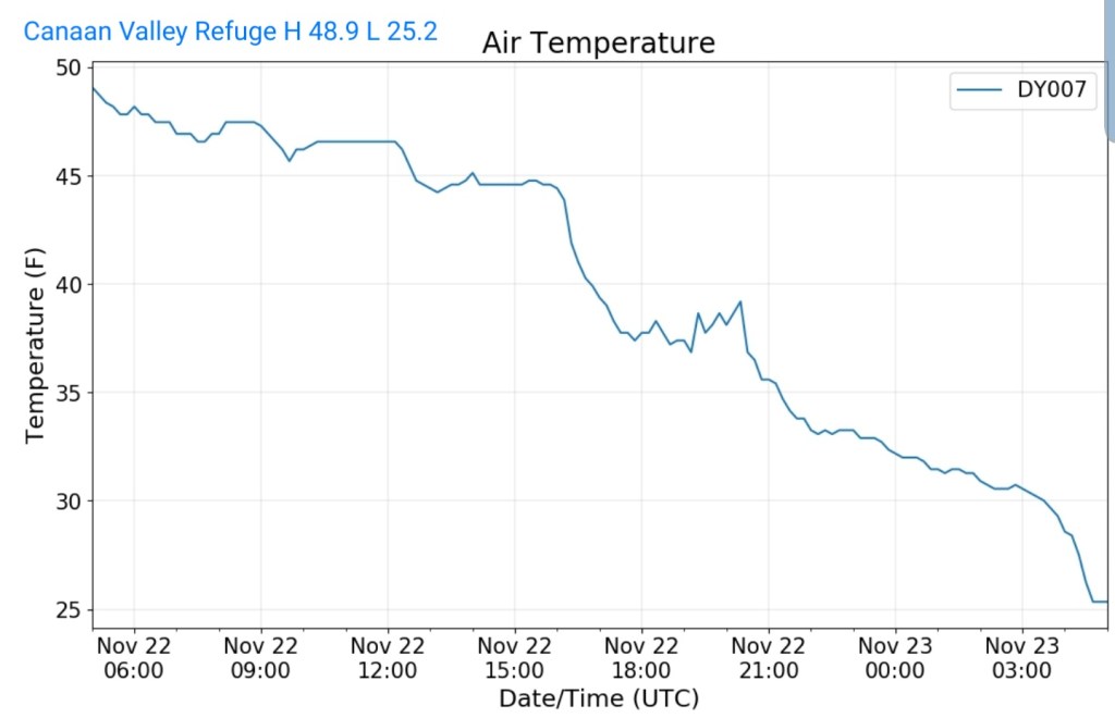
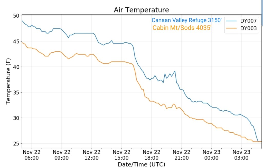
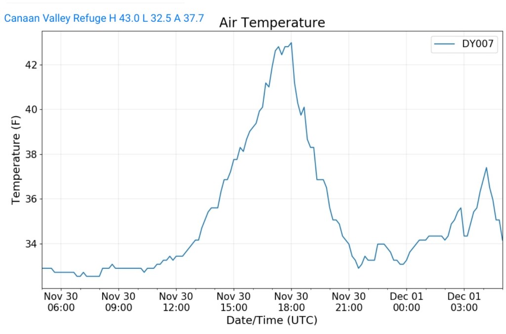
Canaan Valley Refuge
MIN[32.5]—MAX[43.0]—AVG[37.7]
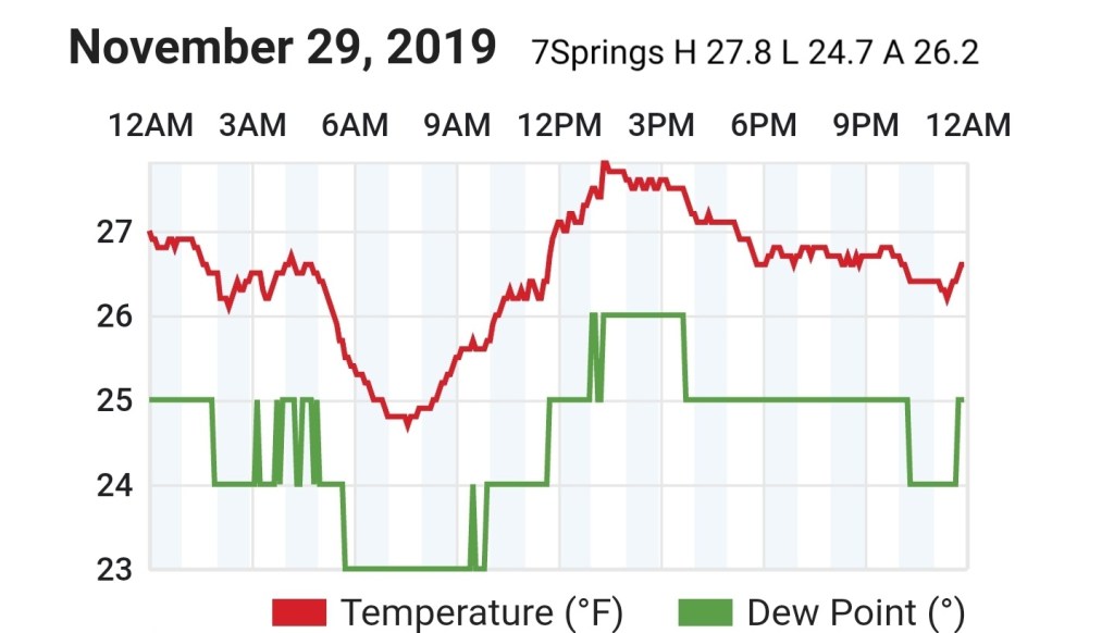
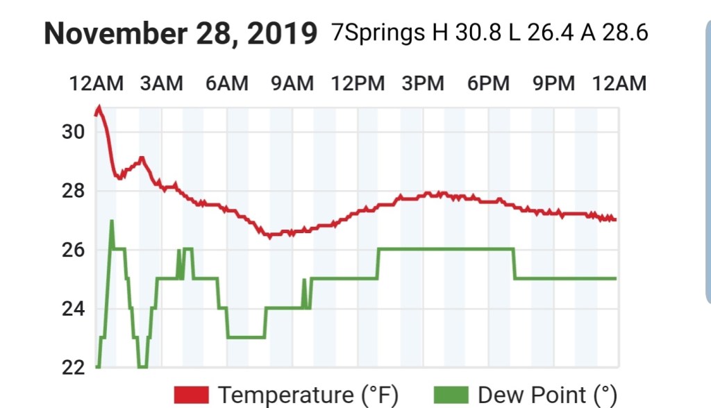
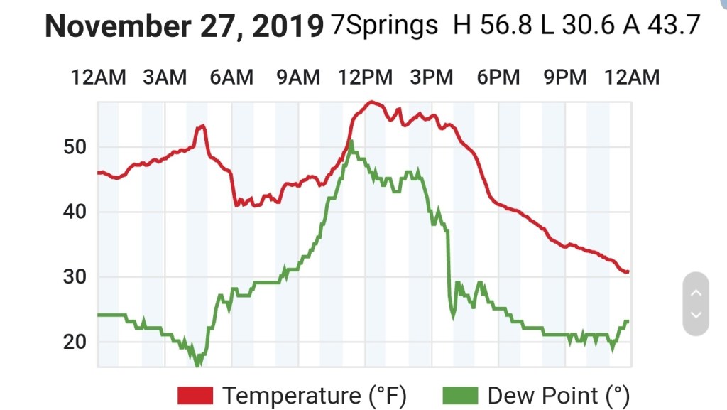
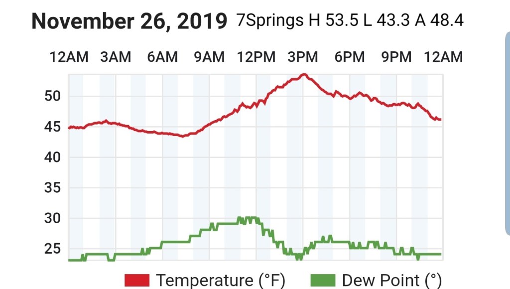
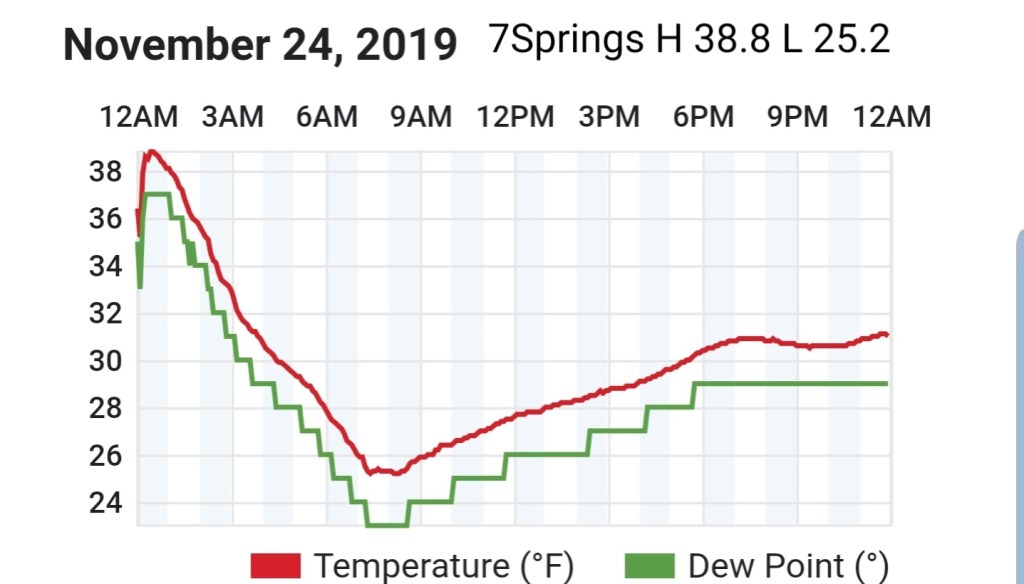
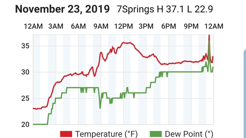
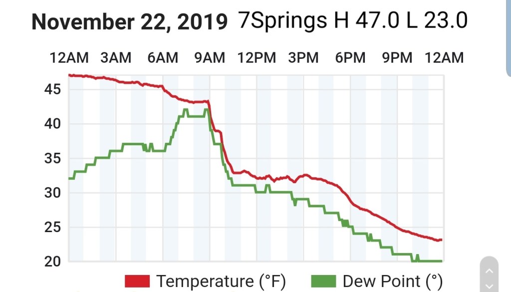
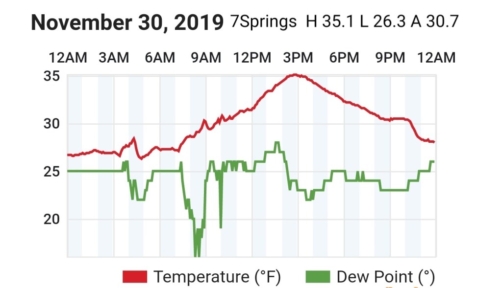
7Springs
MIN[26.3]—MAX[35.1]—AVG[30.7]
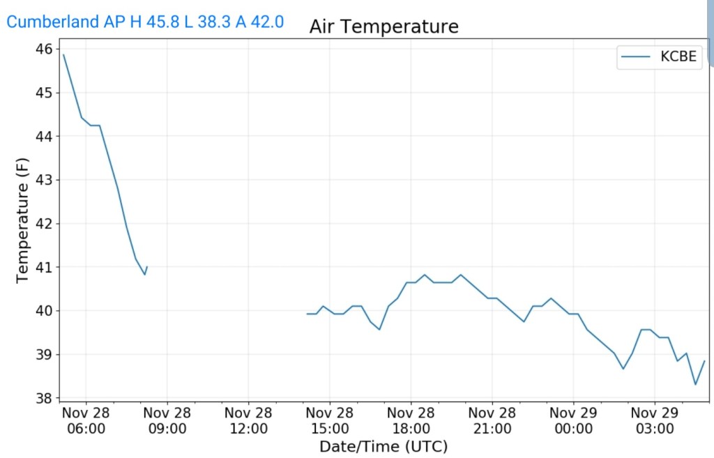
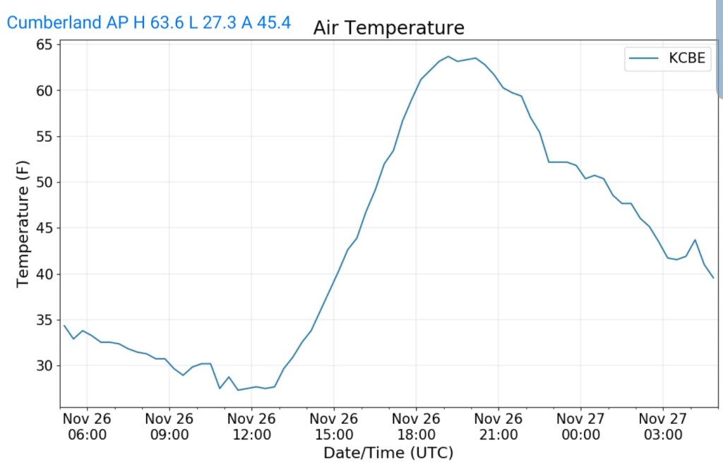
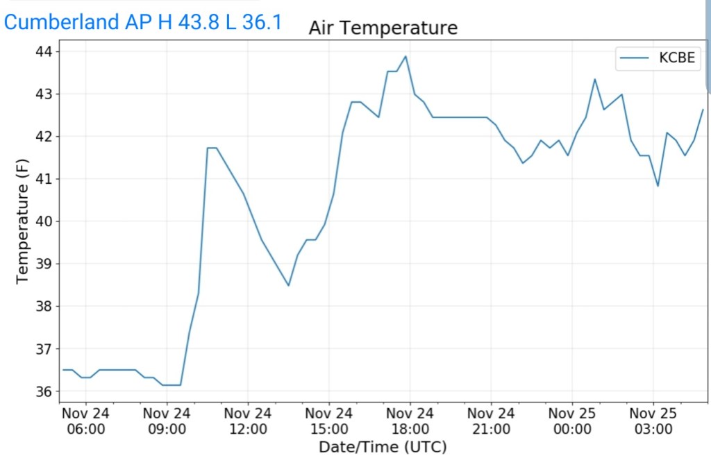
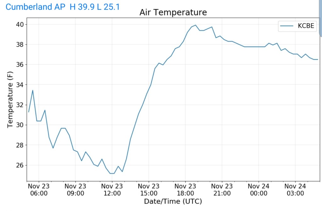
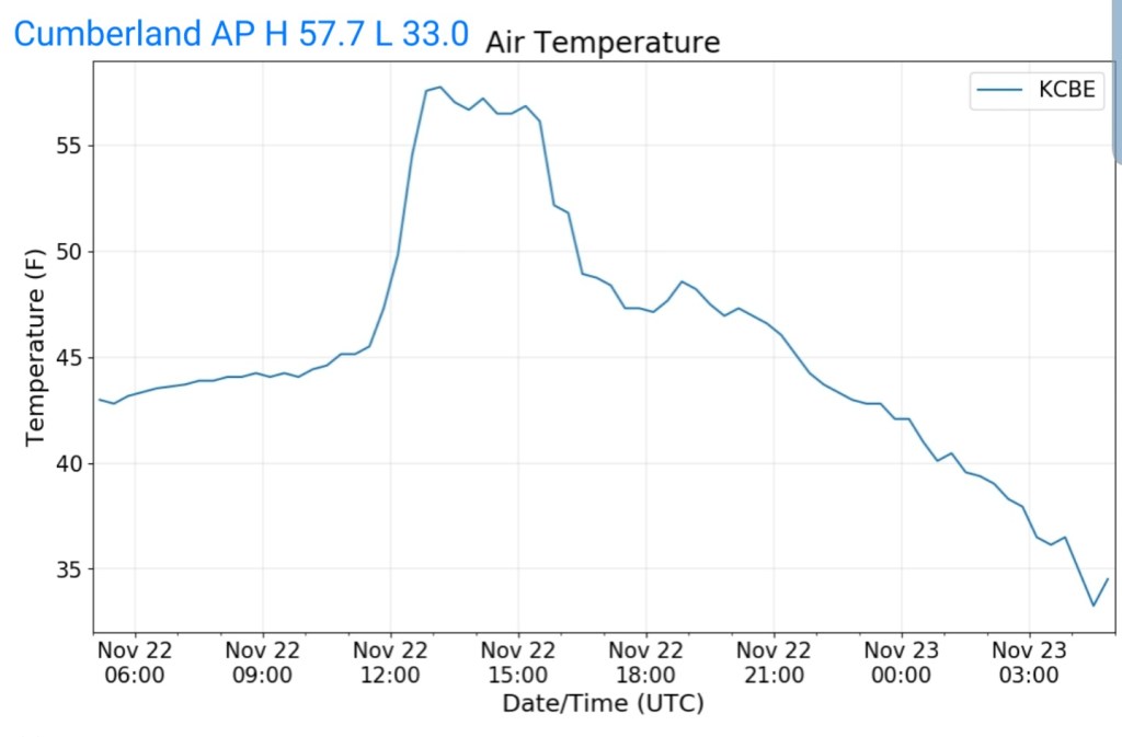
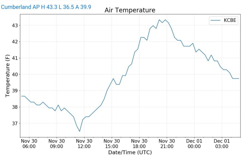
Cumberland Airport
MIN[36.5]—MAX[43.3]—AVG[39.9]
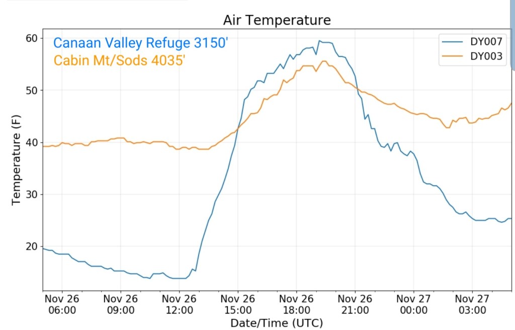
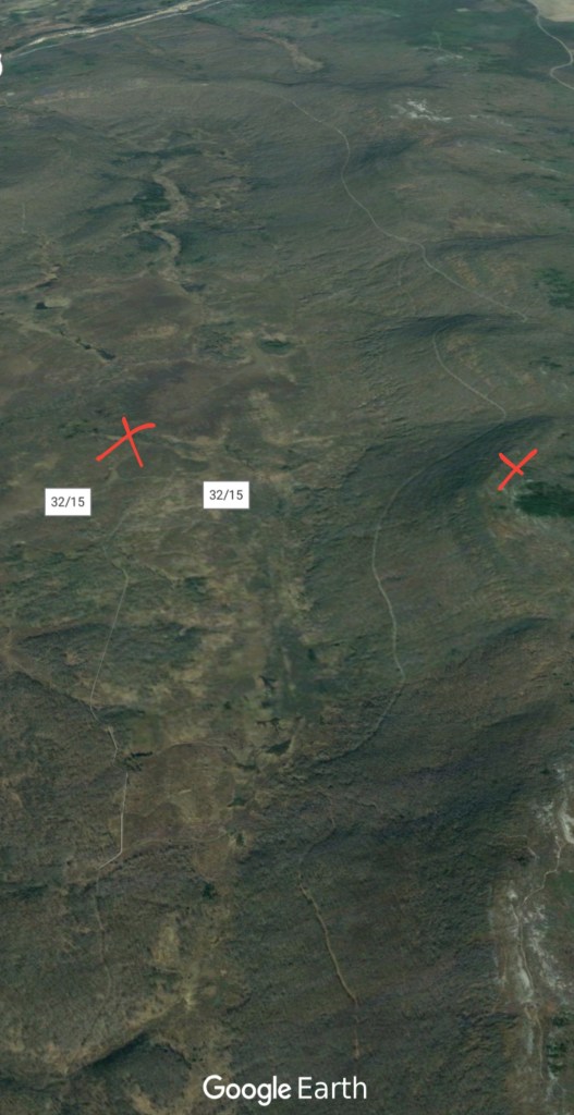
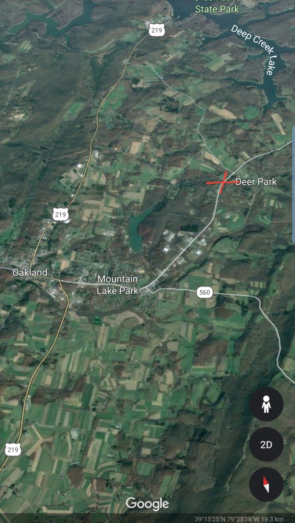
The Valley vs Cabin Mt


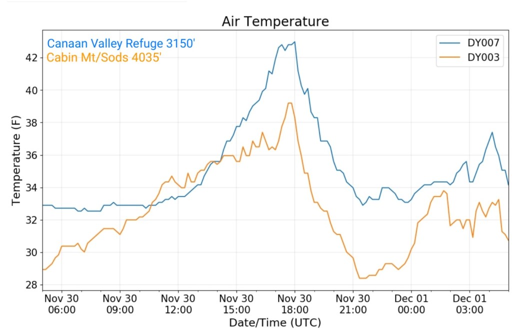
Canaan area temps
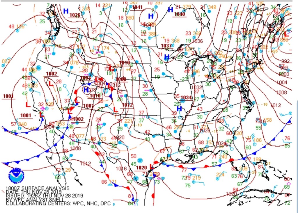
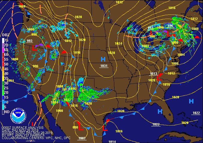
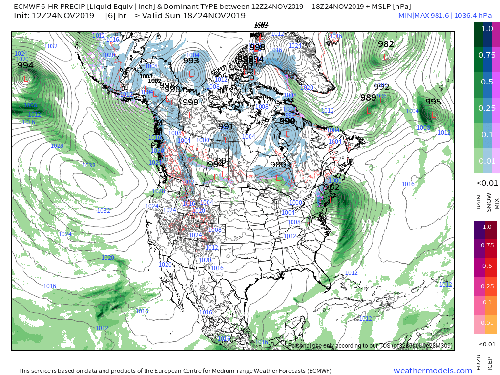
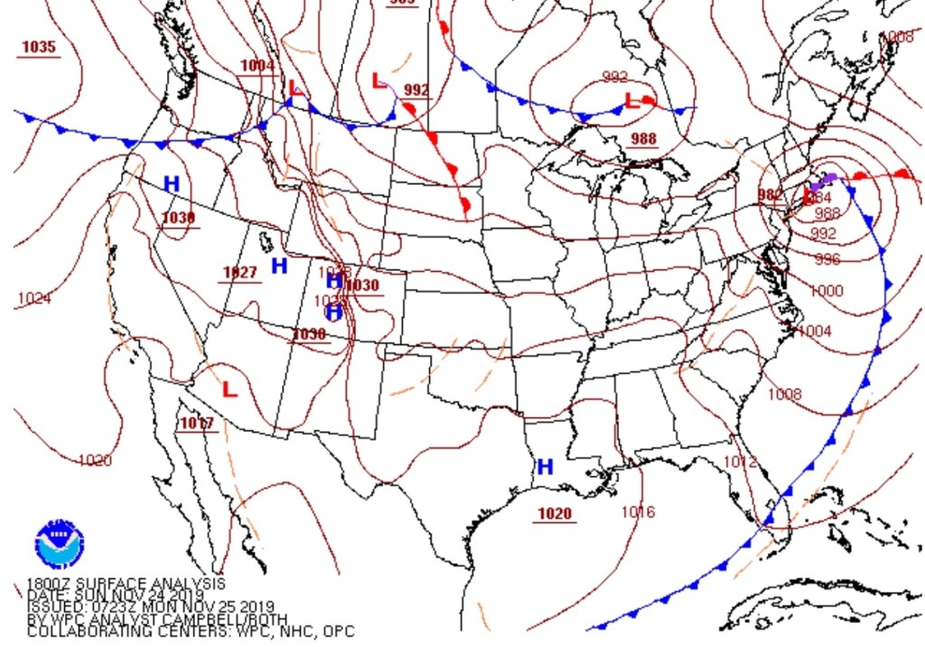
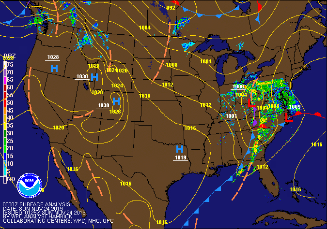
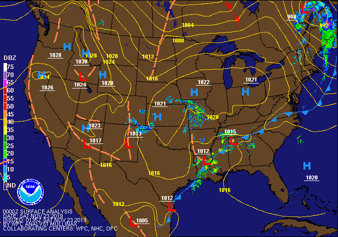
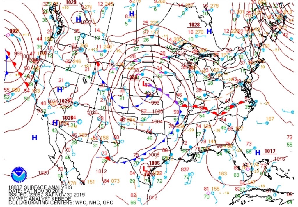
RTMA
Radar
Satellite
Flow
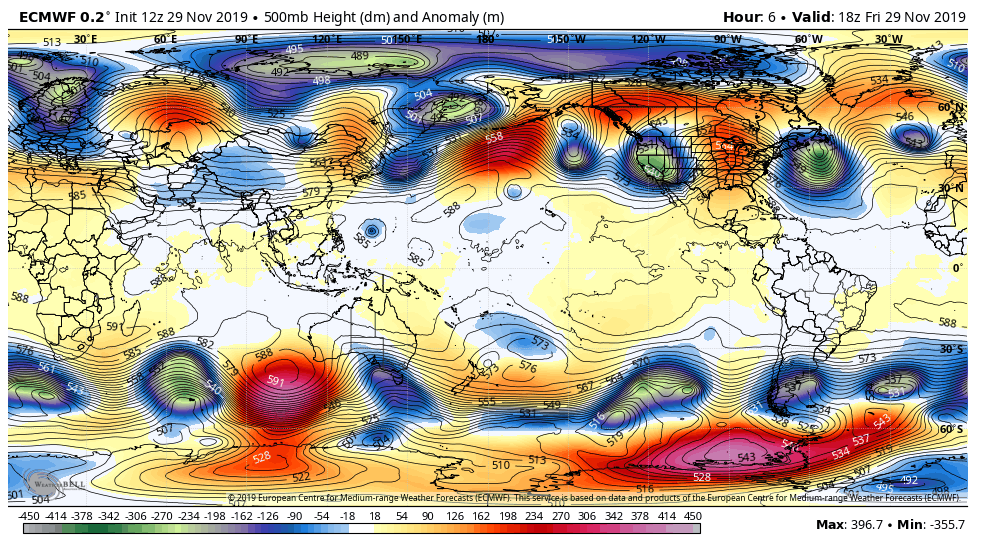
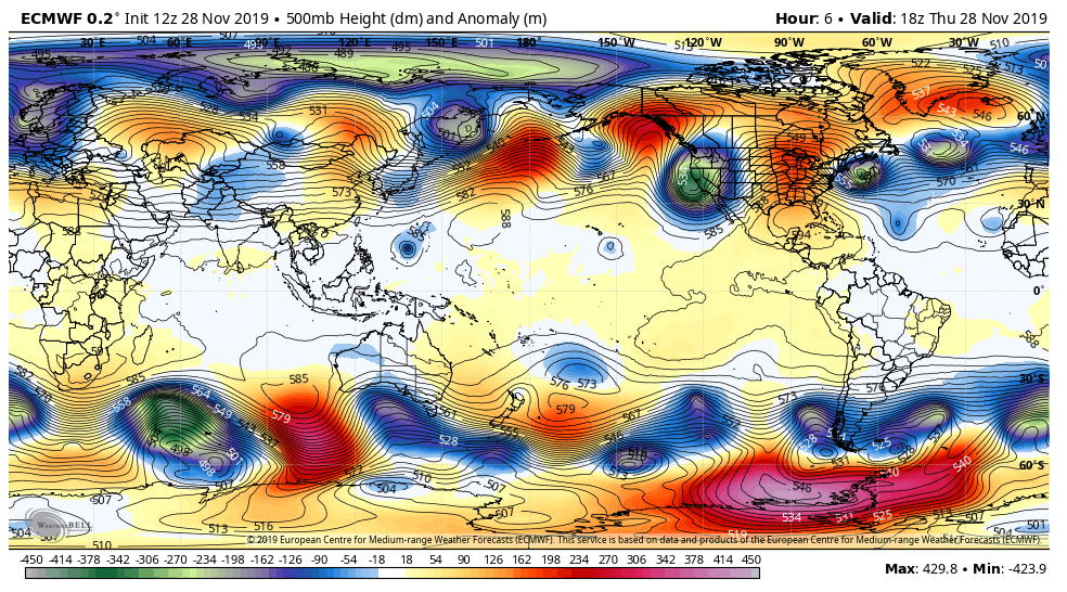
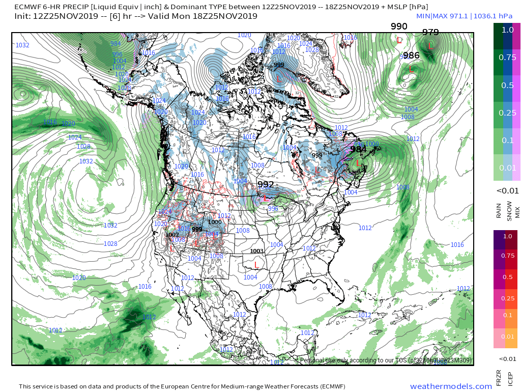
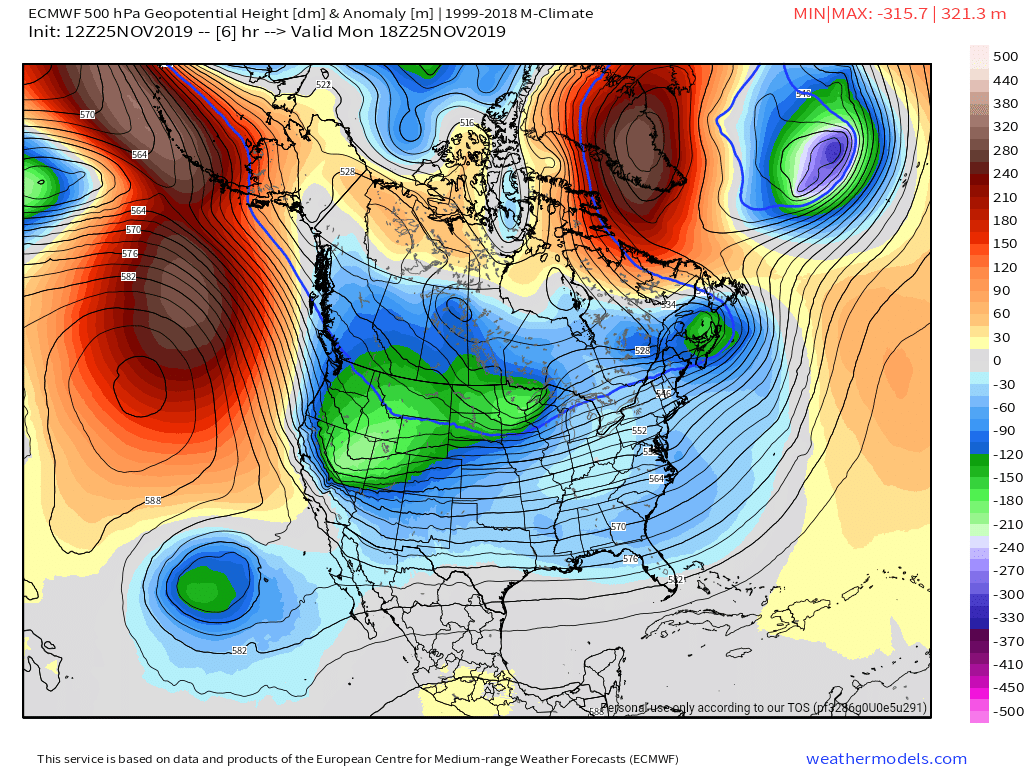
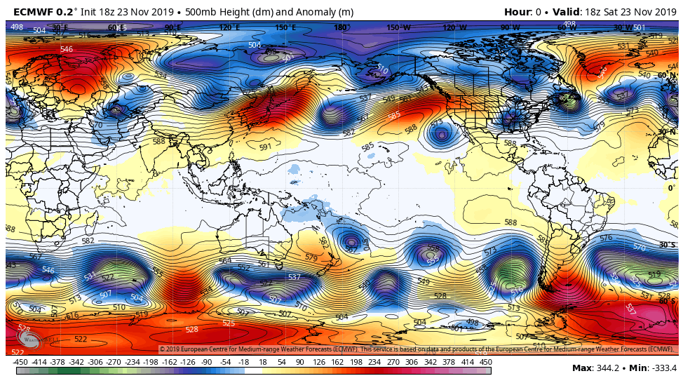
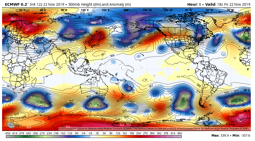
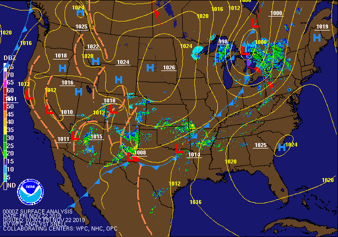
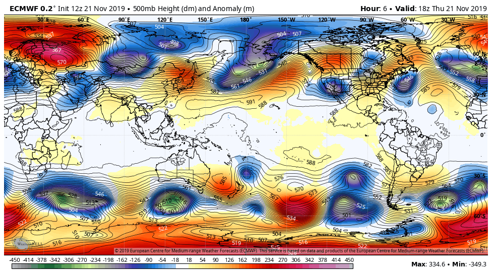
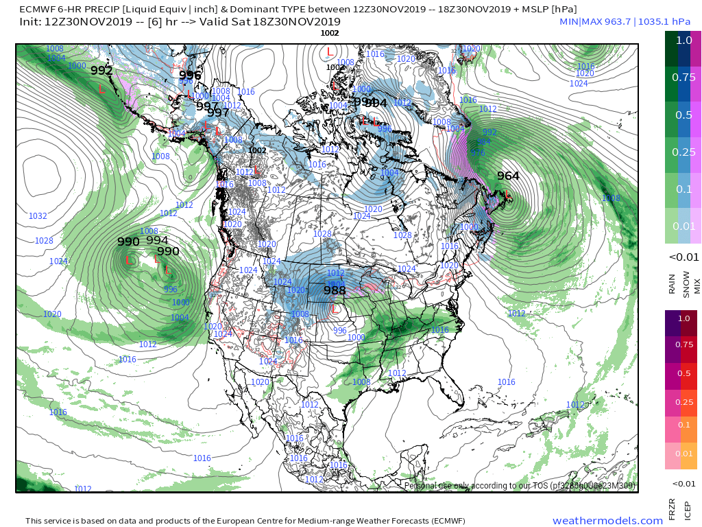
Surface features and 500mb height anomalies and flow

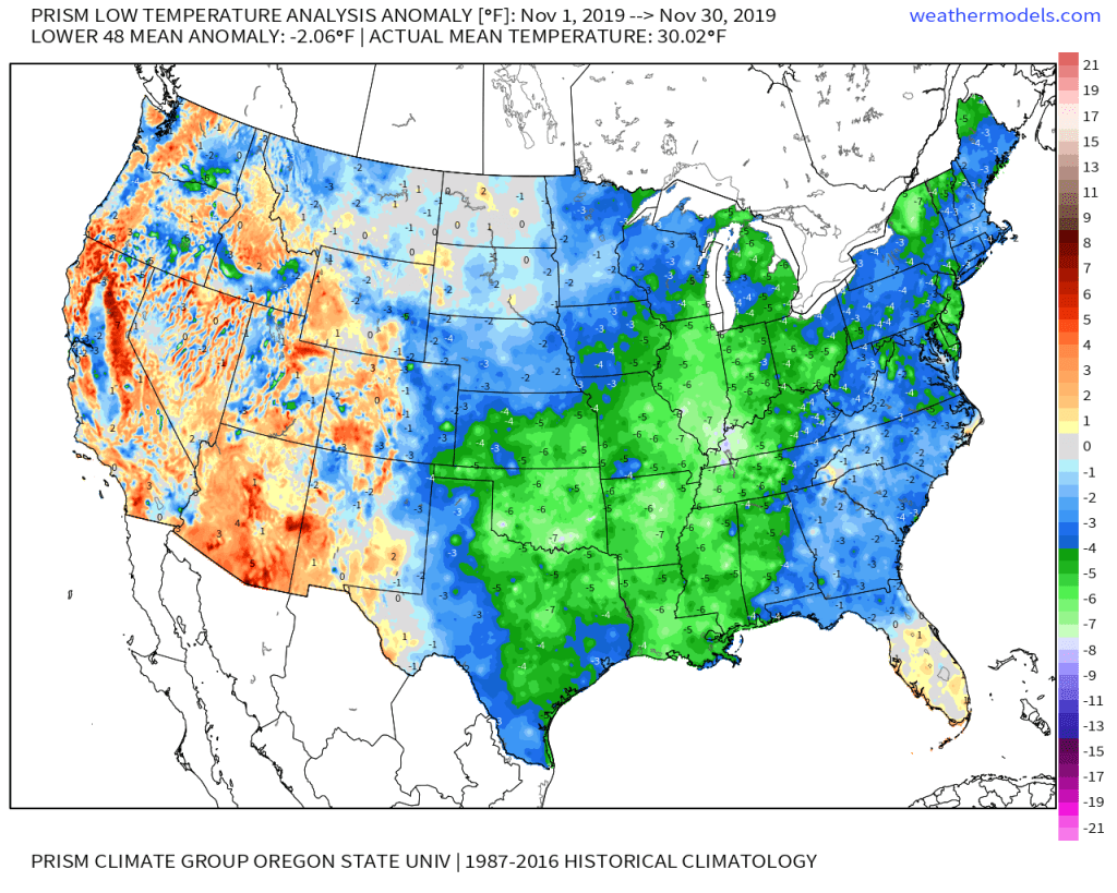
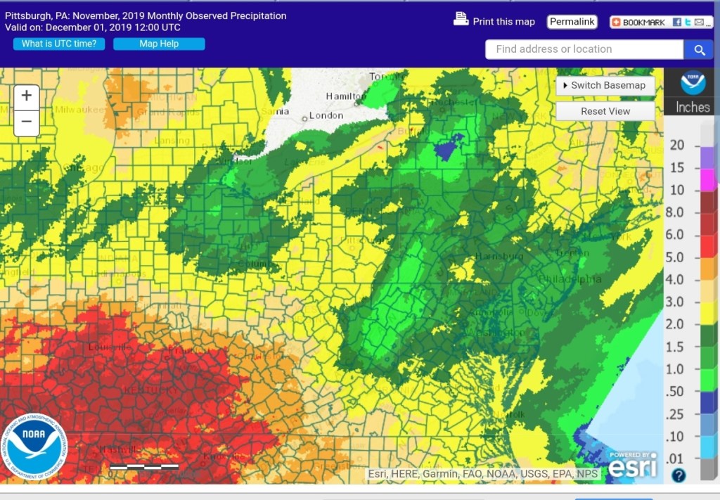
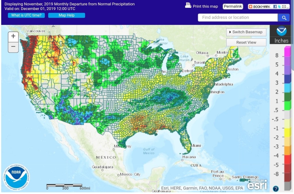
November Summary
Temps-


Precipitation-

Outlooks-
Lots to talk about over the next few days. Up first is the ice event. For many folks in the region, this is nothing more than a cold rain event, before a changeover to snow late Sunday. For those in the classic ice zone with this type of setup..
Classic setup for this type of event
Duration once zones in red
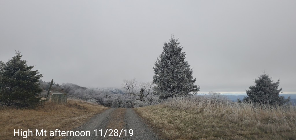
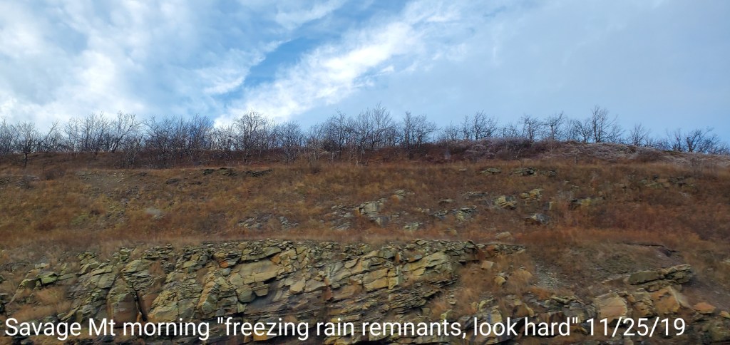
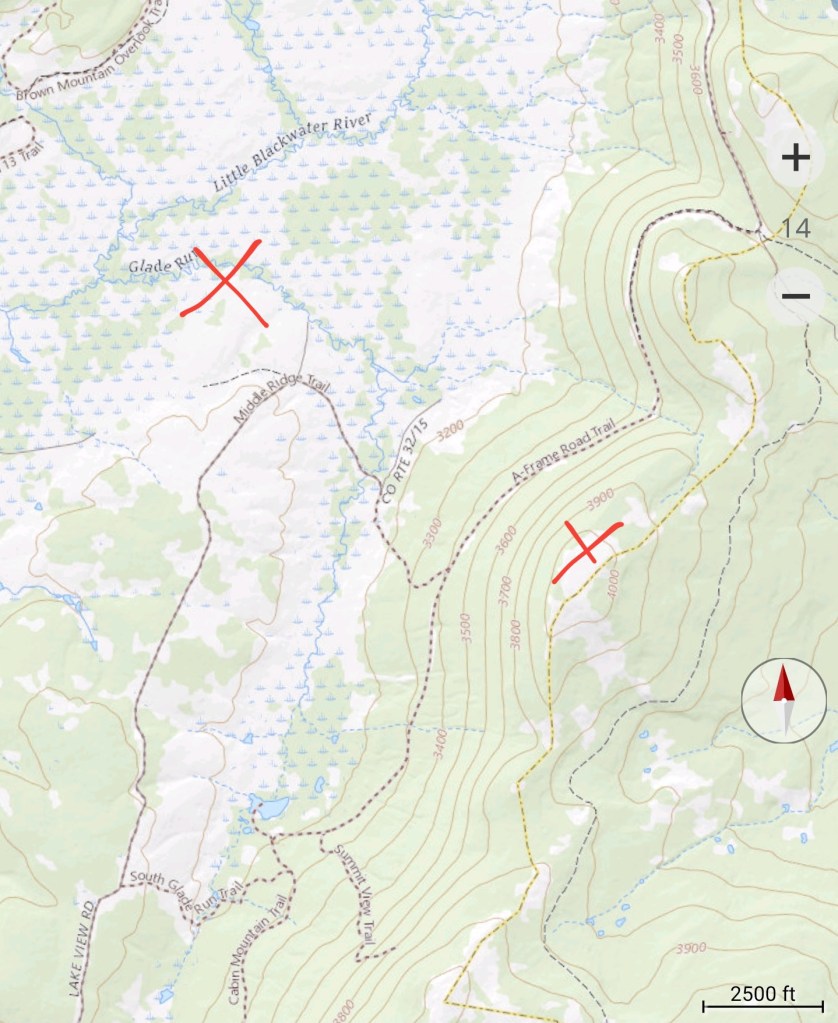
Heaviest ice zones east facing ridge tops from Negro Mt, Meadow Mt, Savage Mt, Dan’s Mt, down the Allegheny Front. Data is limited at Bear Rocks area, but often suspected there is a significant differene from the Allegheny Front to Cabin Mt. Even the northern portion of Backbone Mt is in play. Which becomes separated from Savage Mt by the Savage River.
Areas west of the red line, it often depends how much cold air is in play and the type of air mass. With this current upcoming event, some icing likely occurs back to McHenry, and possible Cranesville. The further west you go, the more limited it is . The same can be said for south, right along the Allegheny front to Spruce Knob, where there is data, can often be in play at the onset, with this event, that looks brief, if at all.

The temp setup off the models…
Models, especially the 3km Nam handle this setup superbly. The German ICON model has came into the game and has performed well also, as well as the Canadian RDPS. These short range models also try to nail down a tighter grid and in general perform well on temps, but they do lack on precip. The 9KM GFS, ECMWF typically perform better on precip amounts.
With this current event, the German ICON model caught on to the idea first that the mild surge does not completely press across Garrett County tomorrow as had been modeled by almost all models the past several days, including the 3km Nam. The 3km Nam is the king at this setup, albeit often 1-2° too cold. Last night, the 3km Nam came into an agreement with the ICON model, and now the ECMWF has followed as well. Temps come up above freezing eventually for almost everyone tomorrow, except Savage Mt area, Dan’s Mt may be a holdout until nightfall, and then if they go +32, it may be brief. By that time, the west winds kick in, and the steady to backsliding temps begin.
Also too note: Expect temps to come up 34-38 today, then backslide with precip onset with some evaporative cooling
Let’s see the setup-
The German ICON 6z 11/30/19
6z 3km Nam 11/30/19
As well as these models do on temps, they do lack on precip amounts.
Modeled ice amounts
The 6Z ECMWF, 6Z GFS, 6Z 3KM NAM, CANADIAN RDPS(which I tend to favor this time)
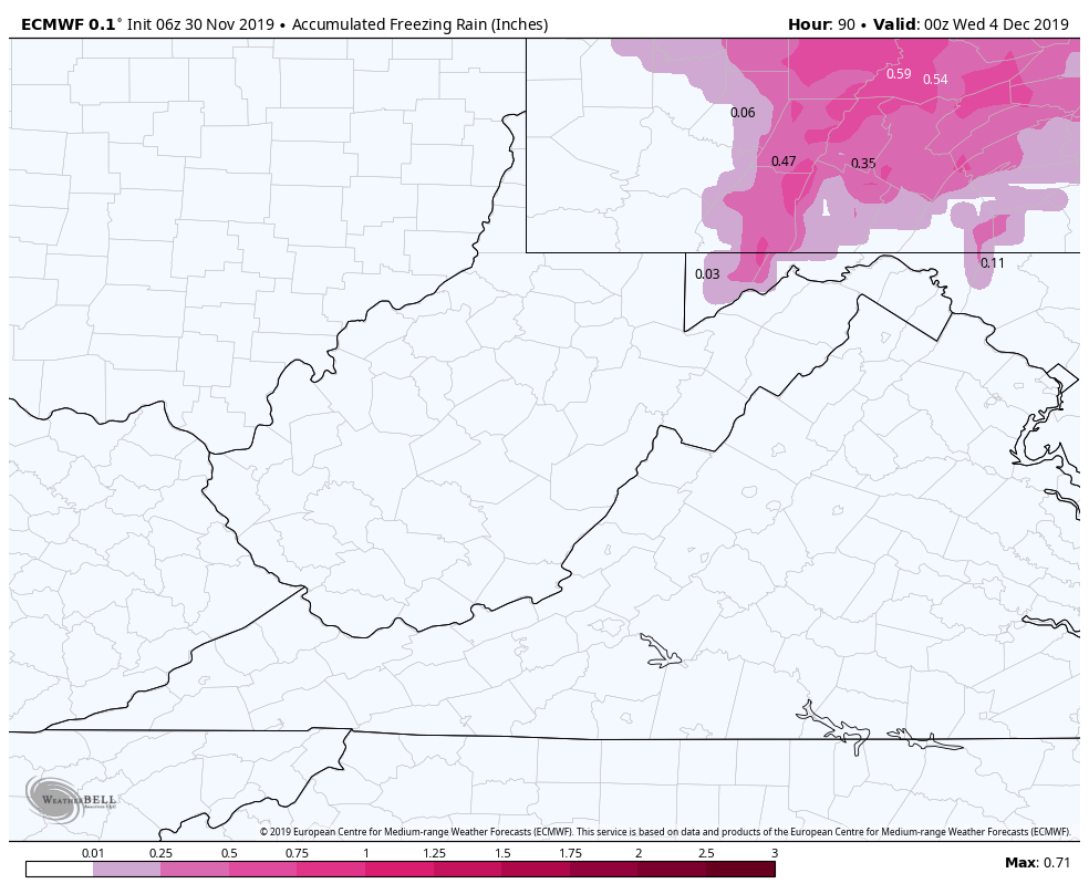
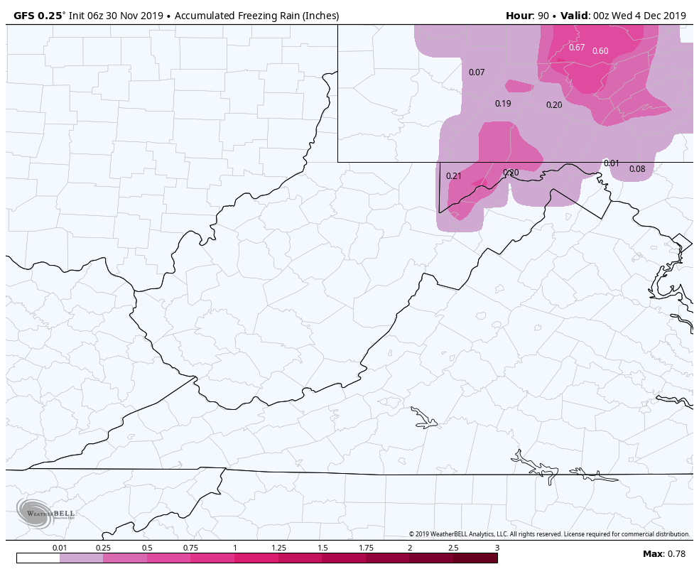
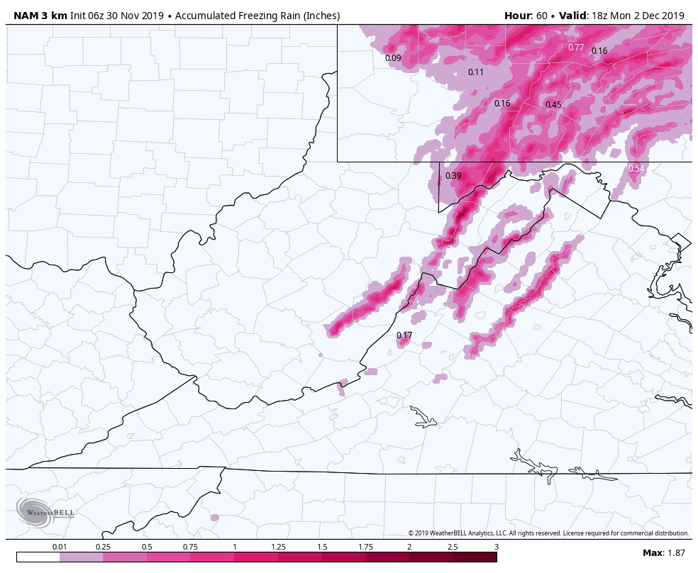
These models aren’t God. Only tools, and that’s where climatology and human input enters the picture. For years I have harped on the Pittsburgh NWS failings with the setup and it often looked very little like what typically happens climatalogically. The improvements at the Pittsburgh office recently has been significant, and great to see. They have an awesome forecasting crew there now, its evident.
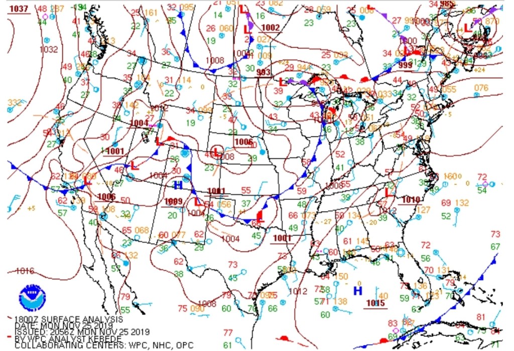
The Weather Service map

The only adjustments I would make, areas below 2500 in Garrett in the ice zone(Grantsville). The town itself may be limited as temps are a bit marginal at the onset and near the end. It’s more the higher east facing slopes above 2500′ in this zone that is of concern.

Just using the ridgelines for example, I would lean .2 to .4 ice accretion for areas up high, above 2500′, a trace to .2 below 2500′ in Garrett within that red zone. Coming south, I still think Mt. Storm may see a duration period of freezing into Sunday a.m. This is not the classic freezing rain setup that follows a huge artic cold outbreak that features very cold air trapped in the valleys. Even east. Cumberland, Keyser, teters with 32°, but likely remains above, the high ground in Allegheny above 1500′ is in play for ice though.
The better half…..
❄❄❄❄❄❄❄❄❄❄❄❄❄❄❄❄
As the system passes by, the focus shifts like the wind. The winds swing west and northwest. Any rain changes to snow late Sunday Wv highground Tucker to Pocahontas, then overnight as we go into Garrett, Somerset, Fayette, Cambria, Preston.
Originally, a few days ago I mentioned this looked like a 2-5″ backside event Sunday night to Tuesday a.m. I’ll hold those expectations north of Tucker County high ground. As always in my ranges, lean low to mid amounts and if things perform well, the highmark can be reached. Often when the return flow comes back to the NW, west is best for snow. Cranesville outperforms Savage Mt. So in that 2-5″ range, I’d lean low towards Savage Mt and mid to even high at Cranesville with elsewhere falling in between. I’ve always thought of this as the winter equalizer in the immediate area, with Savage Mt holding cold the longest as the warmth comes in from the southwest in setups like today/tomorrow, then with the areas in western Garrett and Preston getting mild, but then those areas pick up the best snow with upslope events that frequently follow the lead event.
For the WV high ground, the big tweak made there. Amounts from Sunday night through Tuesday a.m look to be in the 4-8″ range. Again, lean low to mid range with if things perform well, then the upper range is in target.
Modeled snowfall off the 6z ECMWF and 6z GFS.
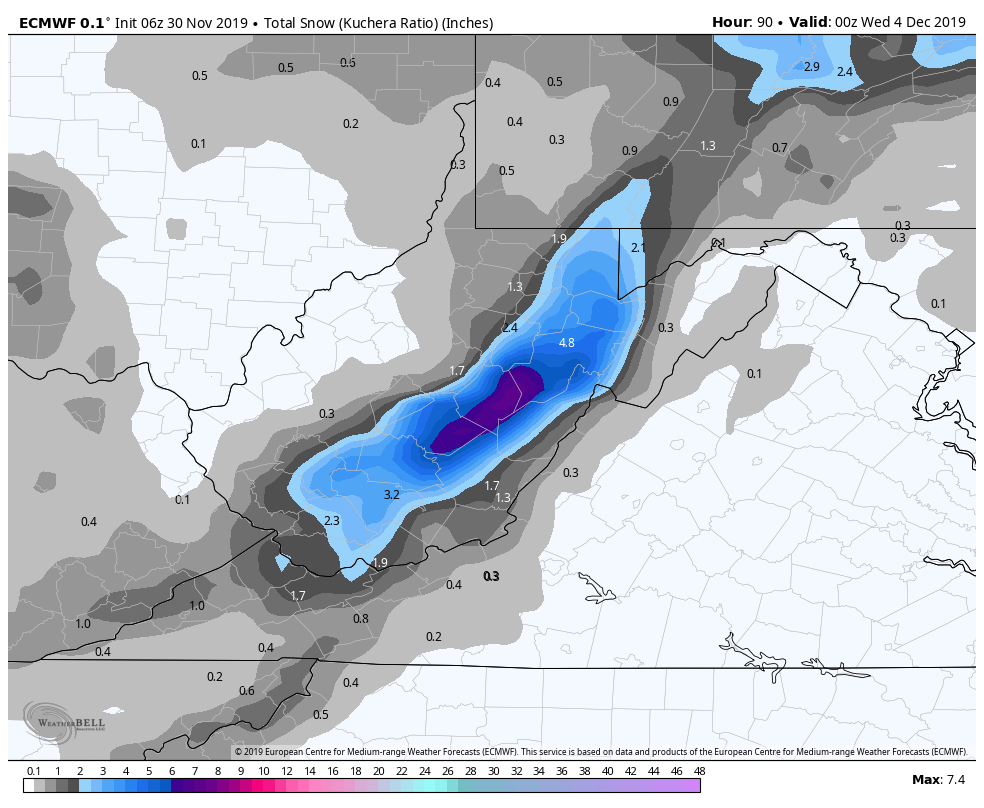
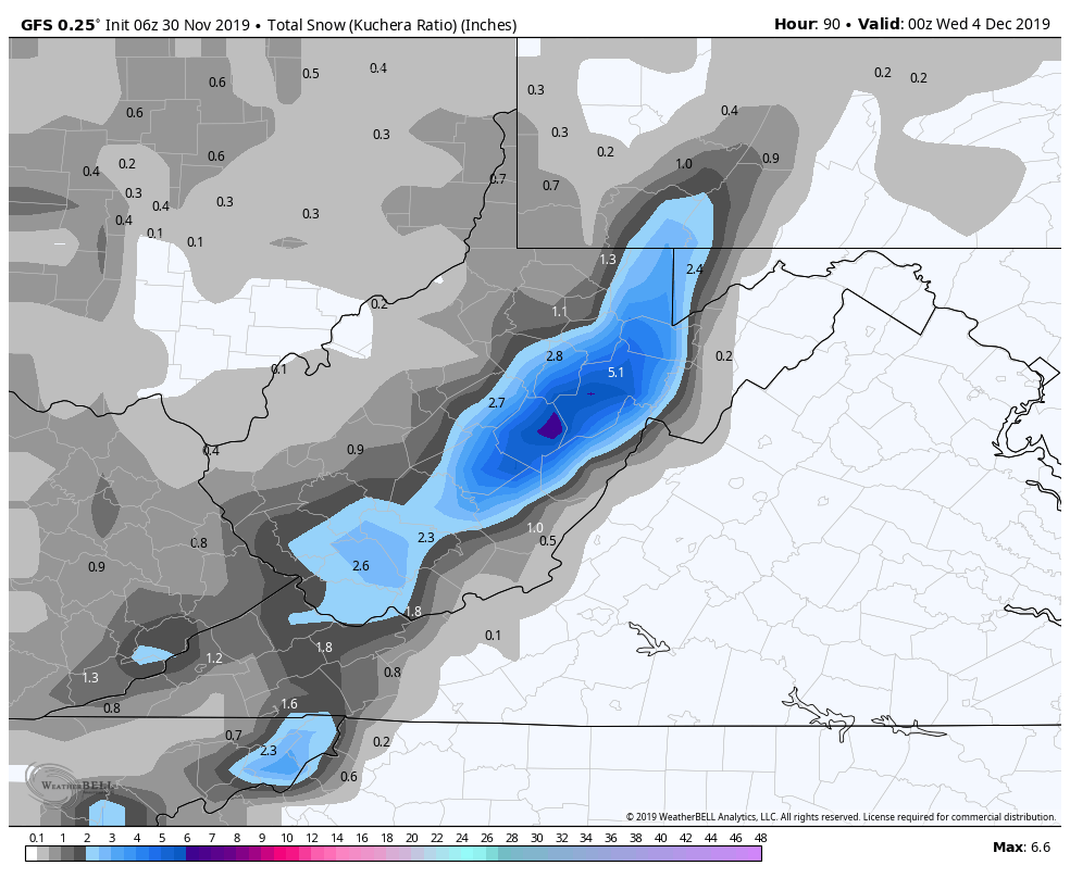
Again, these are models, they aren’t the gospel. Physics in the models are not perfect and sometimes holds the highest amounts just west of the actual high ground. That’s model error and where human input comes in. Have you ever seen the futurecast predictors on TV show Elkins 4″ , Snowshoe 2″. That’s a model bias that must be corrected by the forecast giver, and it often goes unnoticed.
This event should allow for some XC skiing at Whitegrass, especially the snow farm as the snow will be blown about.
Modeled gust Monday afternoon
Modeled off the 6z ECMWF
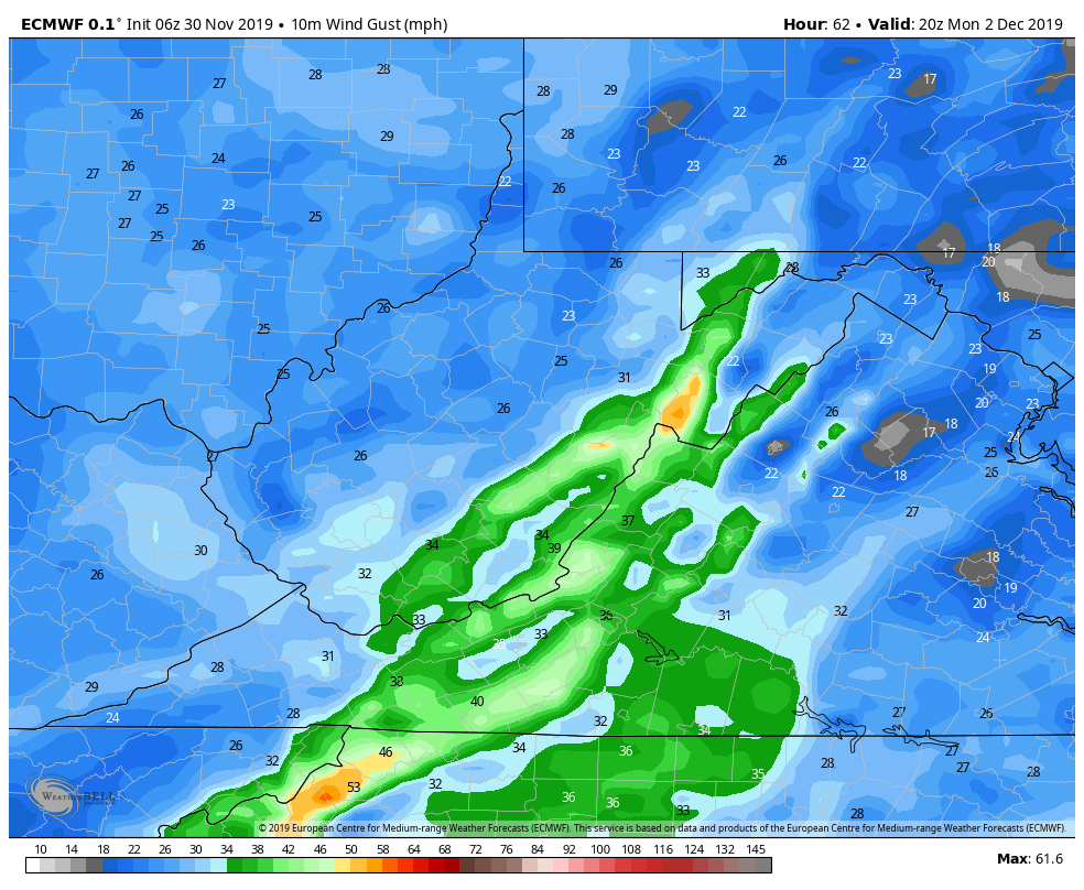
Wind gust are increasing through the day on Monday 25-40mph gust with higher on the exposed areas above 4000′.
Temperatures do not look bitter cold early to mid week, but hold into the 20s day and night, maybe upper teens on the tops at night. That will allow for some duration snowmaking at area resorts this week as well. For the moment, all appears good in the winter world.
With more light accumulations mid week to add to those totals….
This the season…