November 17, 2019
Nov 17(Sun)——-[min]—[max]—[avg]—[prec]
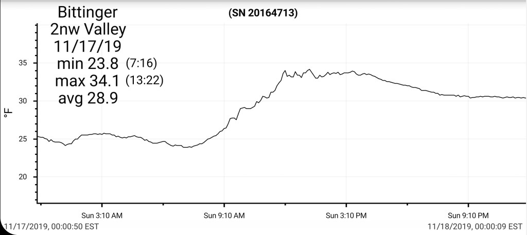
Bitt 2nw Valley——[23.8]—[34.1]—[28.9]—[0]
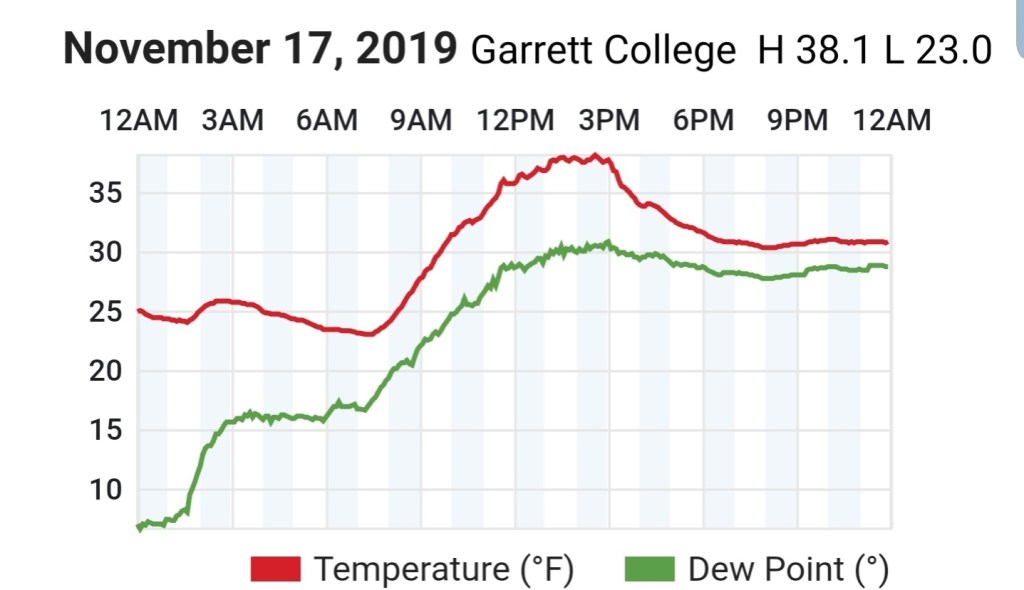
Garrett College——[23.0]—[38.2]—[30.6]—[0]
Can-Heights———-[19.6]—[38.7]—[29.1]—[0]
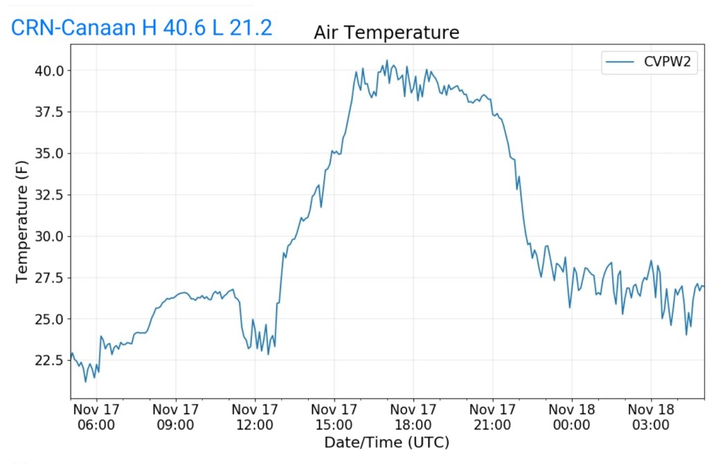
CRN-Canaan———[21.2]—[40.6]—[30.9]—[0]
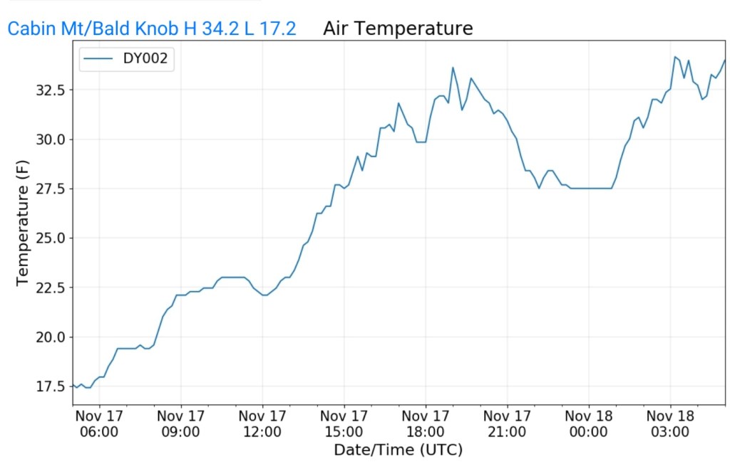
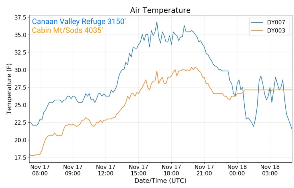
Cabin Mt————–[17.2]—[34.2]—[25.7]—[T]
Cabin Mt N ———[17.8]—[30.4]—[24.1]—[T]
Spruce Knob——-[16.0]—[32.0]—[24.0]—[T]
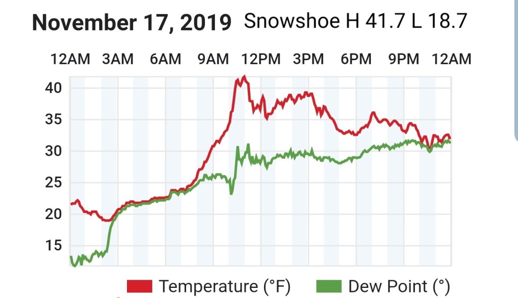
Snowshoe————[18.7]—[41.7]—[30.2]
Can-Valley Floor N-[21.9]—[36.9]—[29.4]
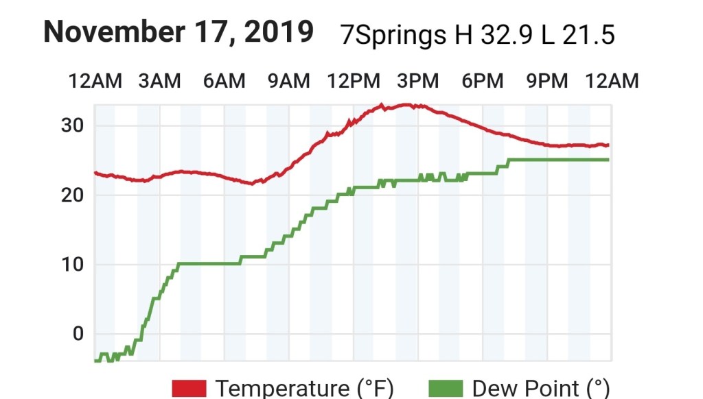
7Springs—————[21.5]—[32.9]—[27.2]
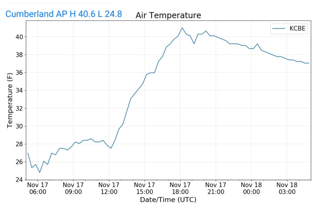
Cumberland AP—-[24.8]—[40.6]—[32.7]
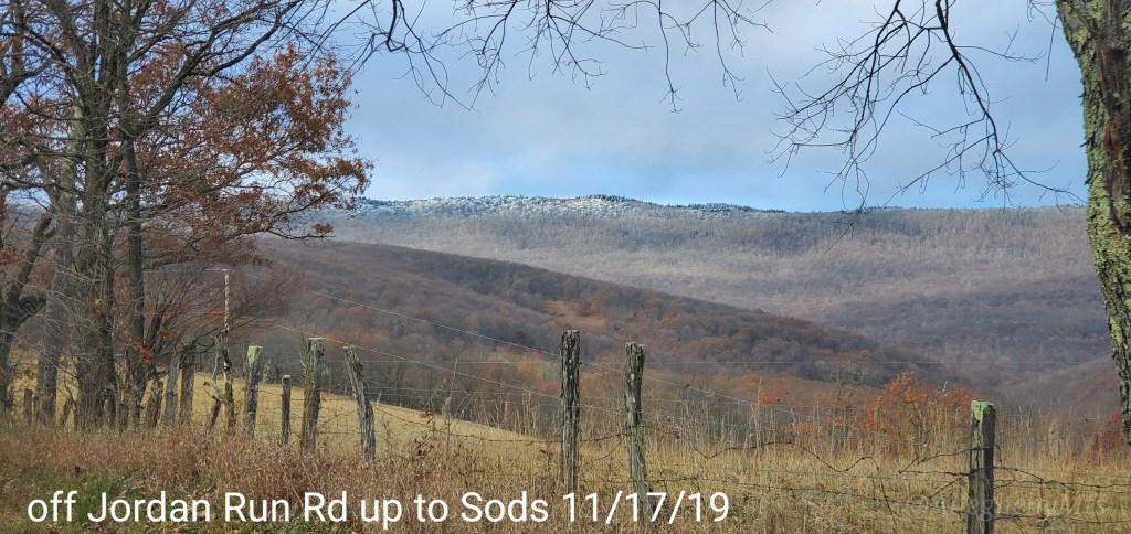
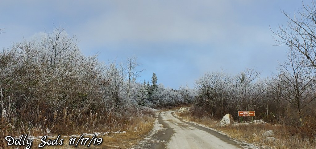
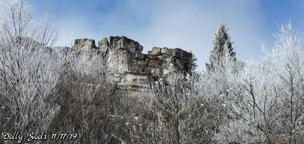
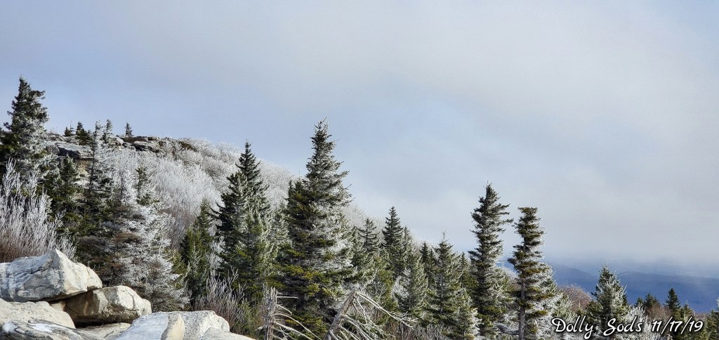
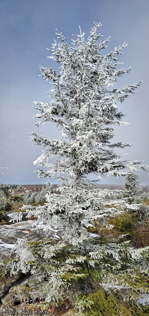
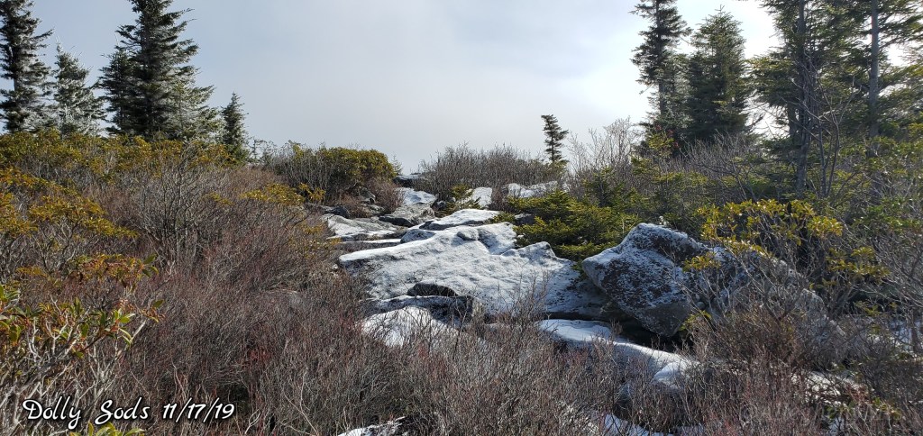
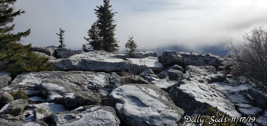
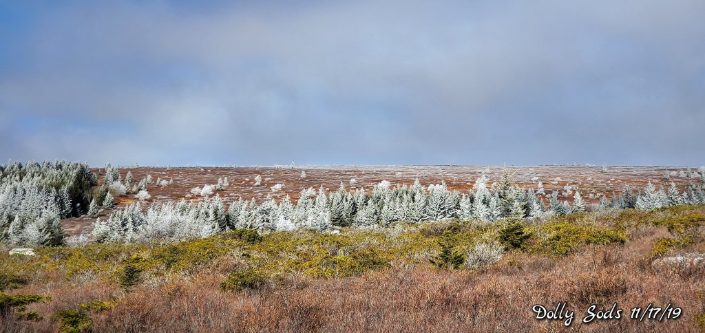
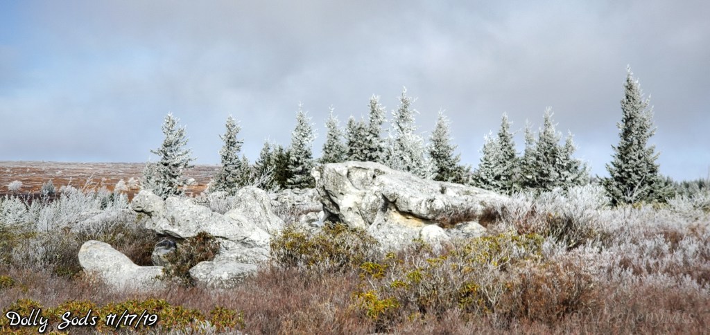
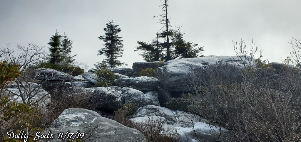
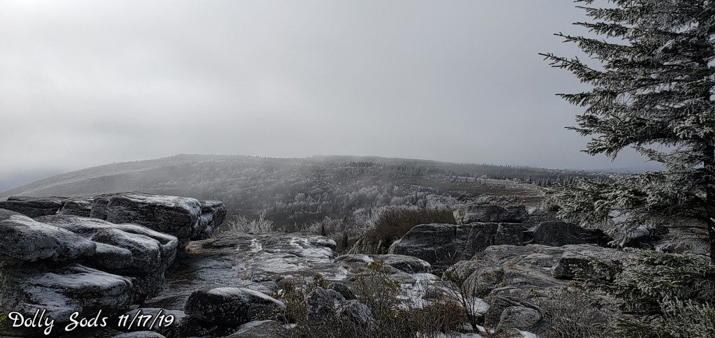
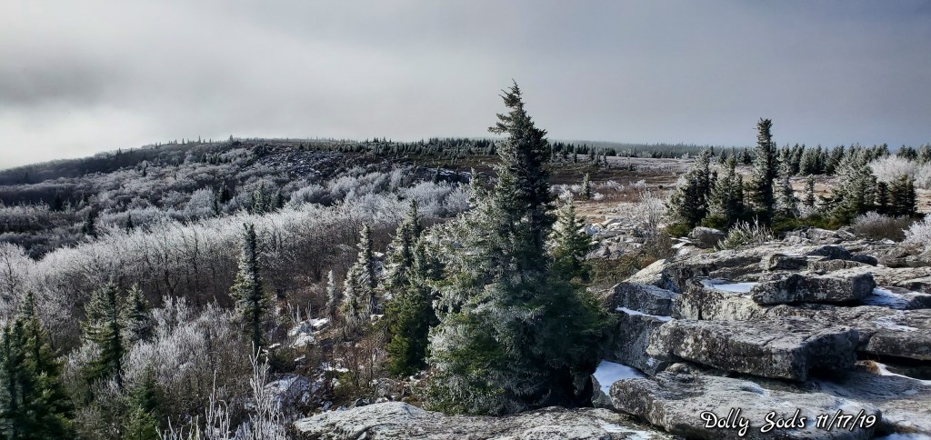
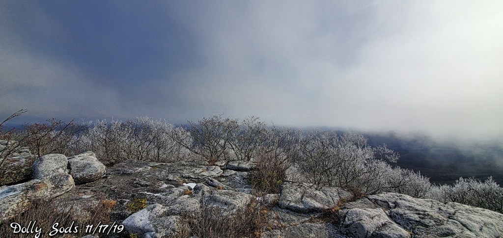
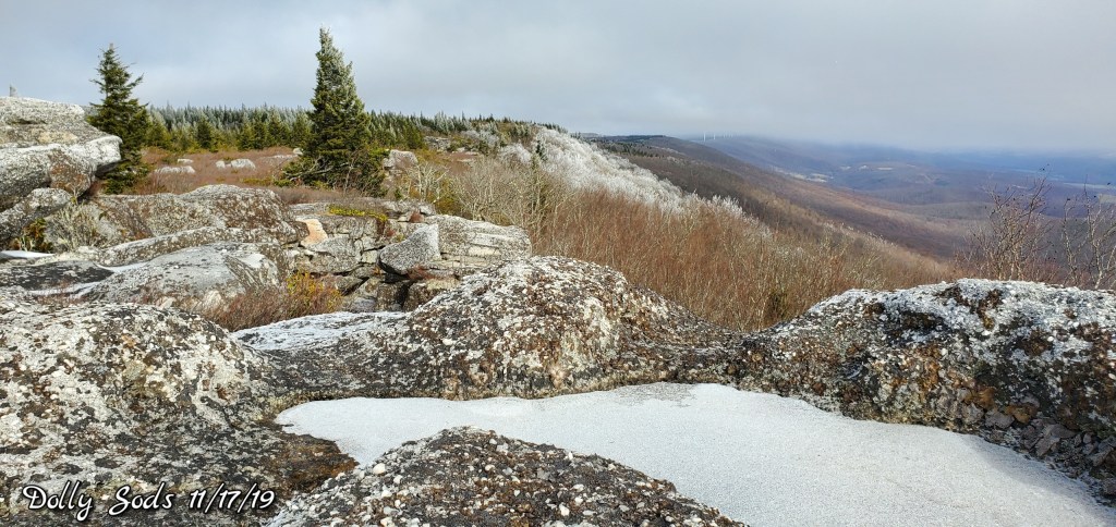
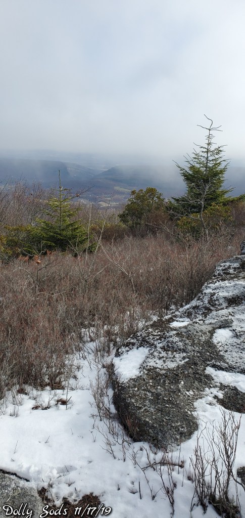
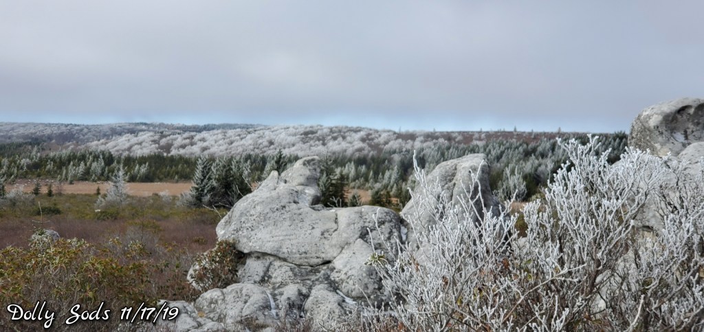
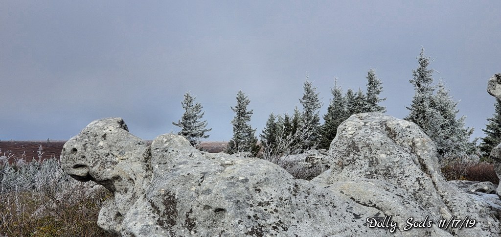
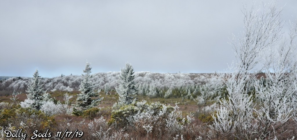
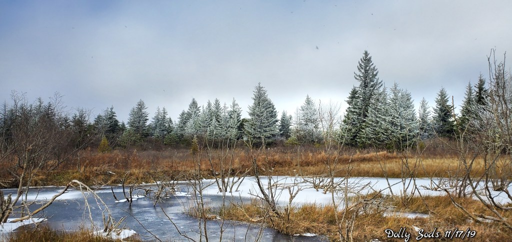
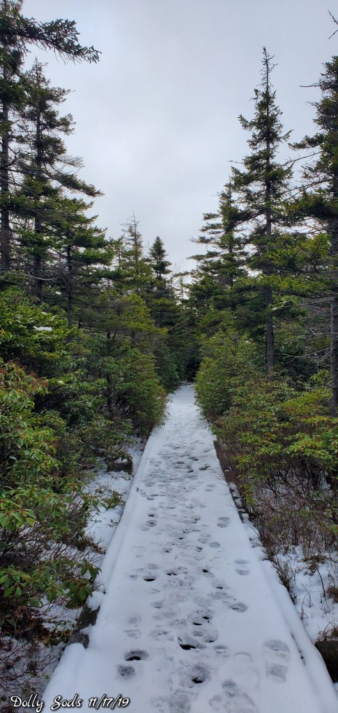
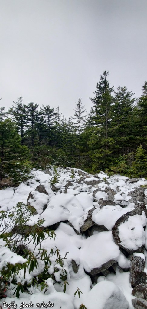
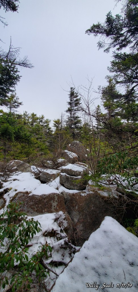
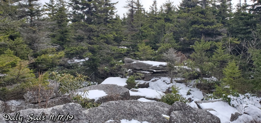
East flow, north central Garrett, points east, and down along the Allegheny Front to the Sods and east saw lots of cloud cover. Some rime across the high Wv on east facing slopes. Sods, Spruce especially. With a dusting of snow, which I believe was just suspended moisture that froze and fell..
Temps today
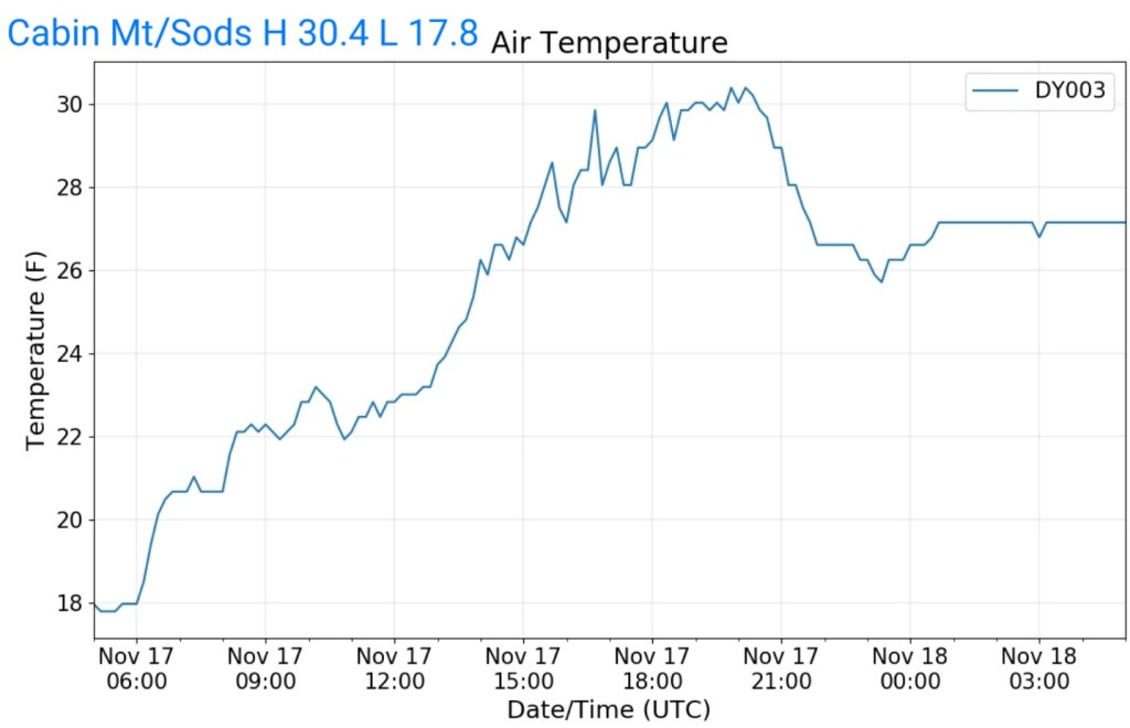

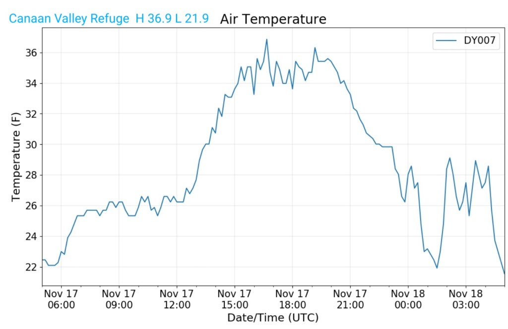
The Valley vs Cabin Mt
Radar void – light precip undetected
Satellite
Flow
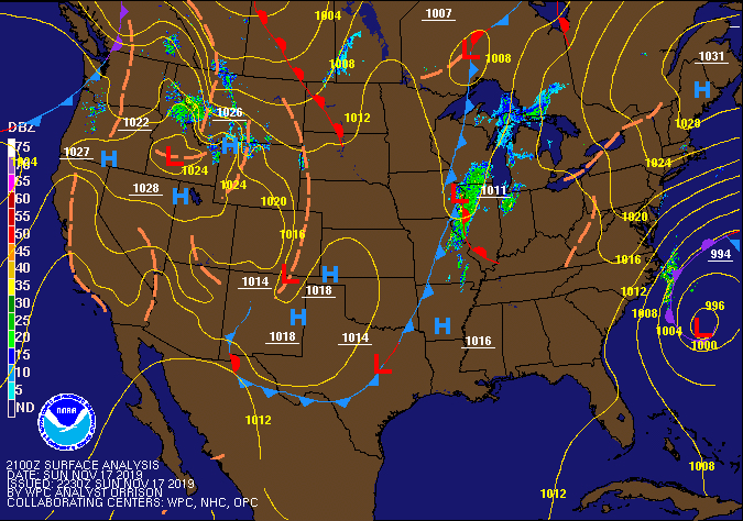
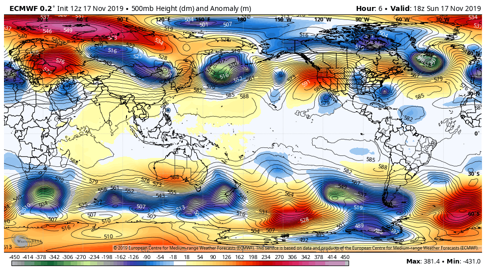
Surface features and 500mb height anomalies and flow

Pics to come
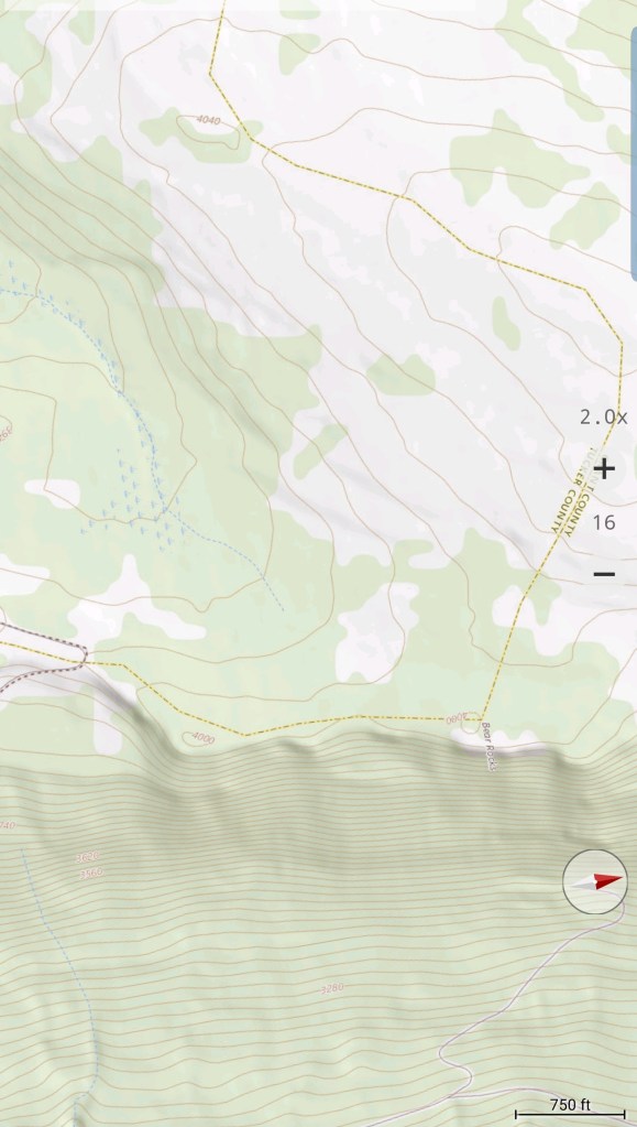
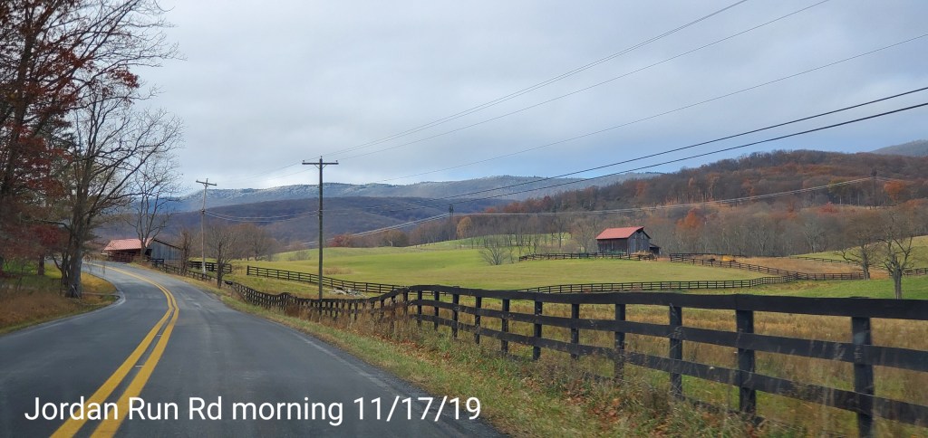
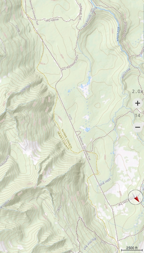
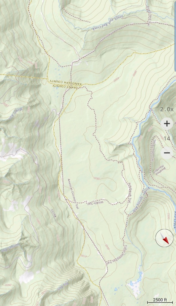
Jordan Run to Bear Rocks
The east flow. Low clouds and fog held across the northern areas of the Allegheny Front with intervals of some some. Trees were rimed in from the east..

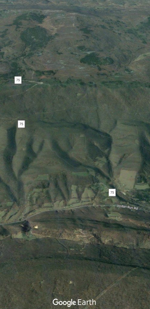

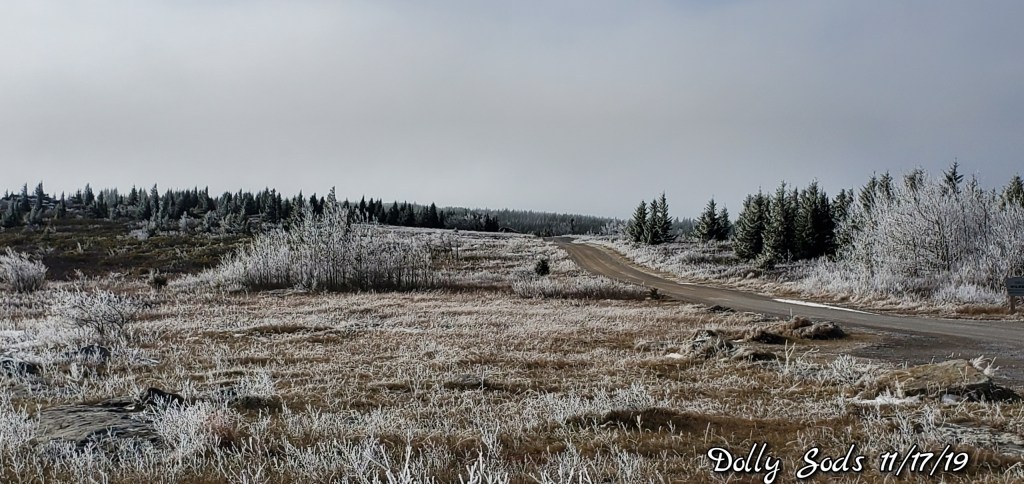


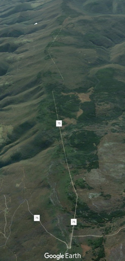
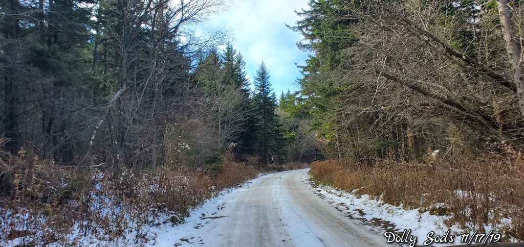
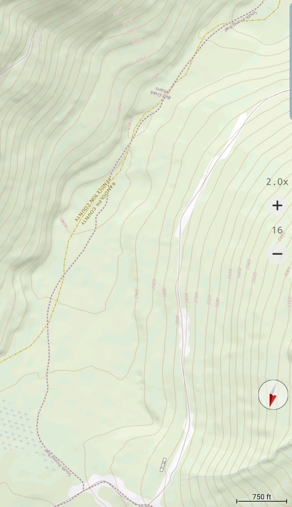
South on FR 75 to 19


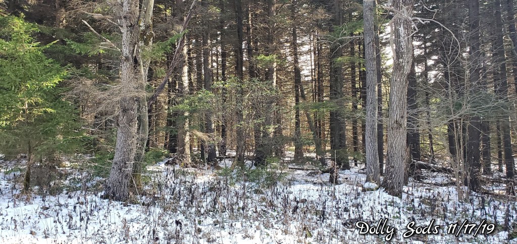

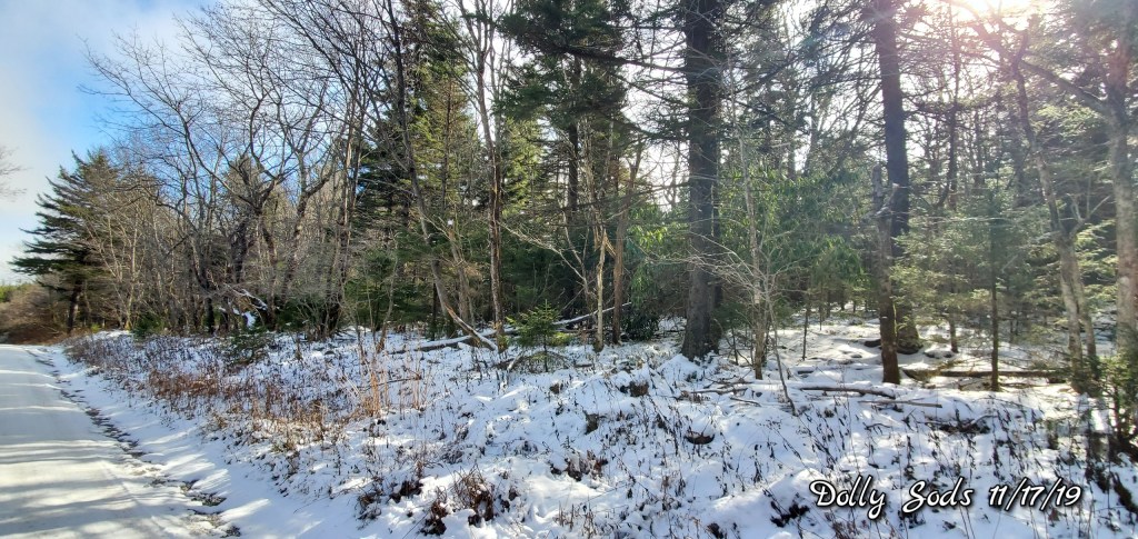
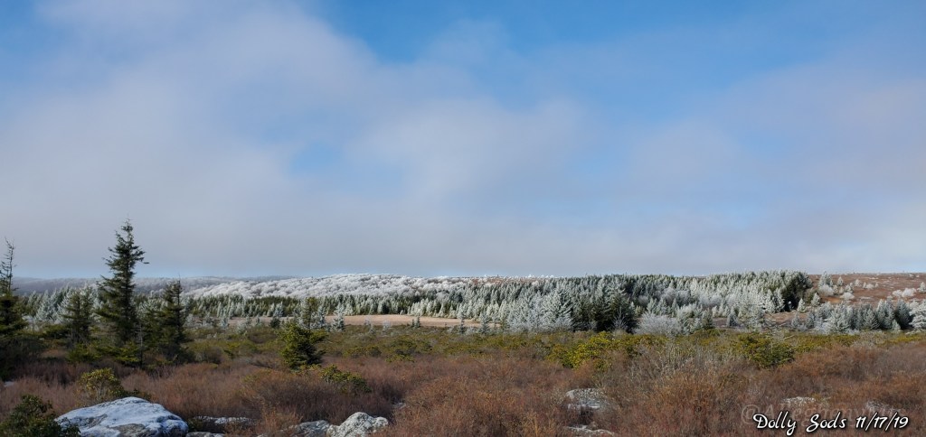
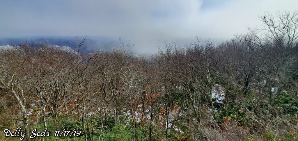
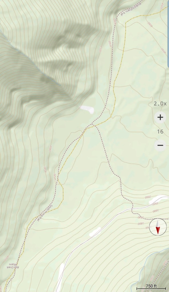
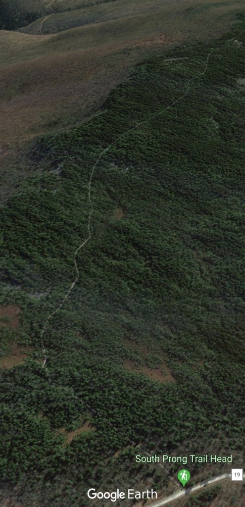
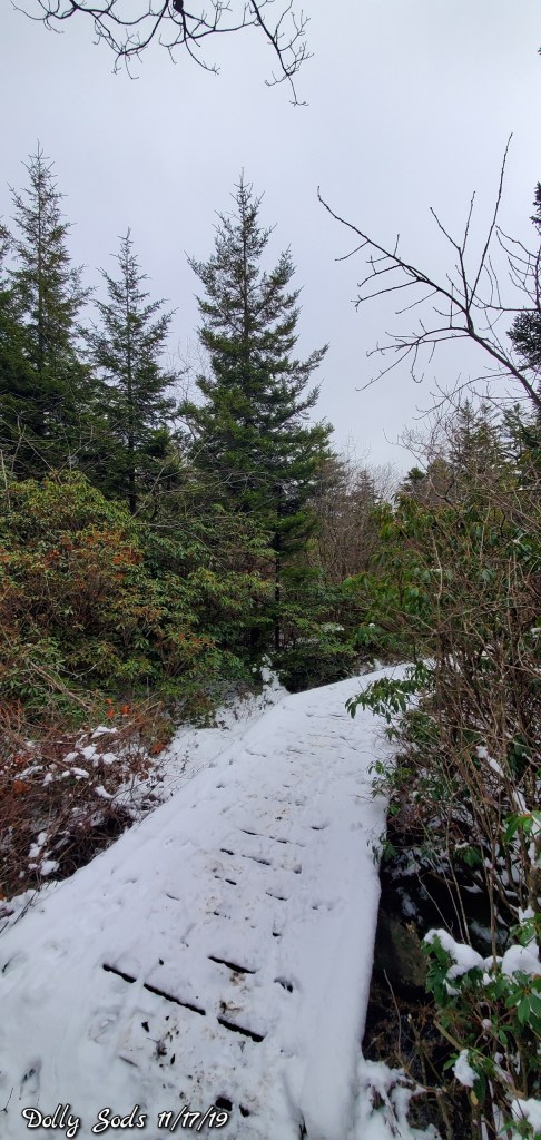
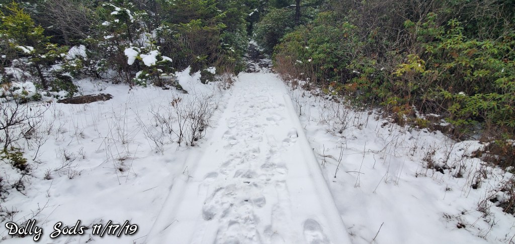
South Prong trail at the Sods


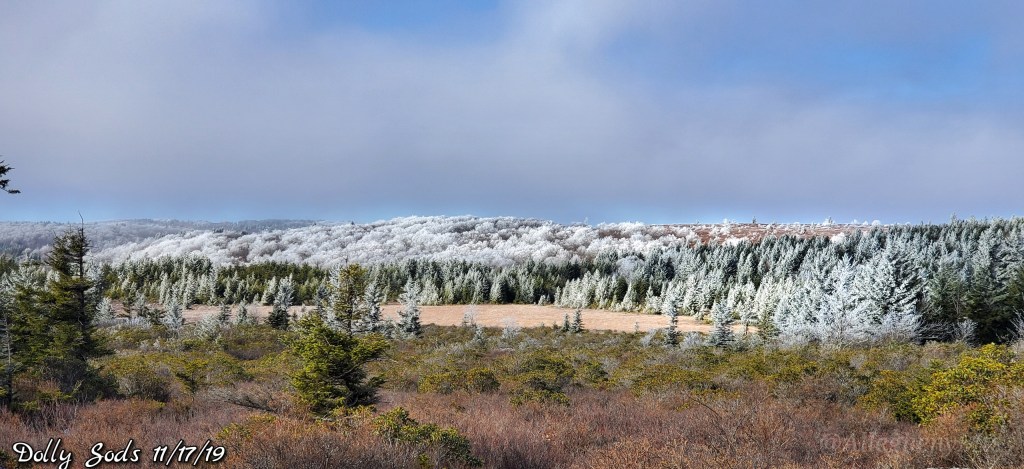
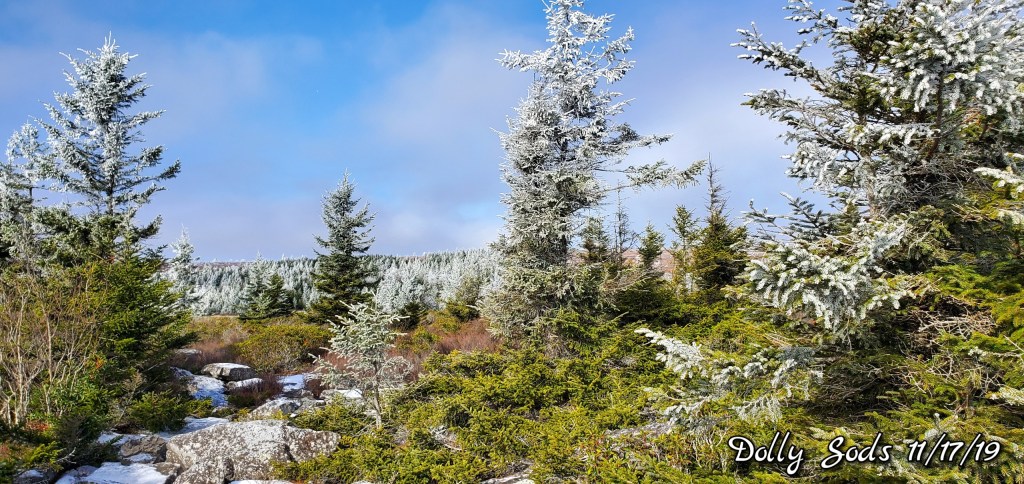
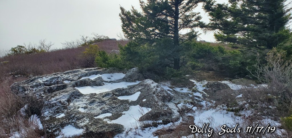
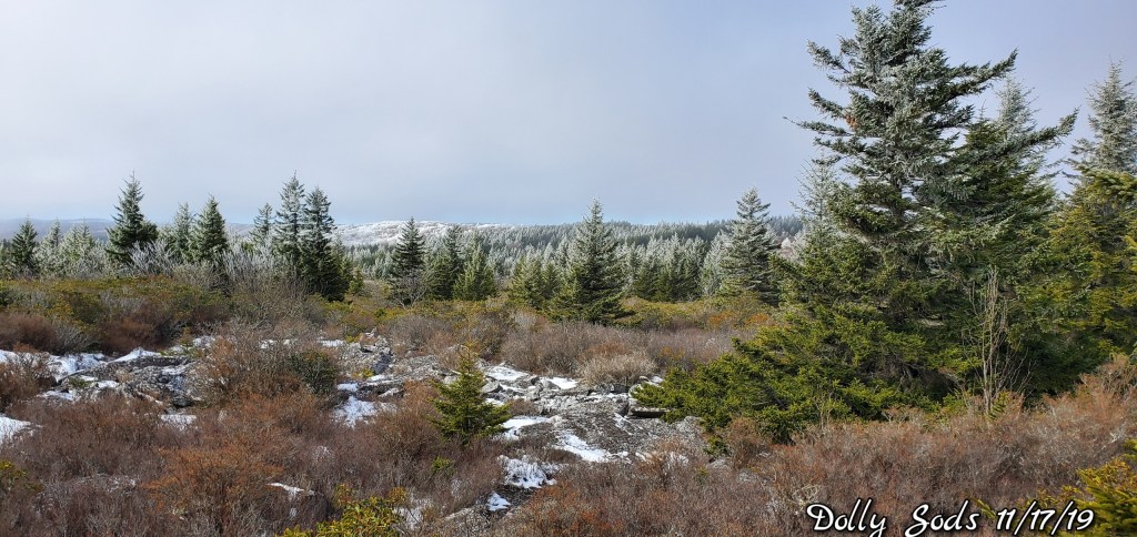
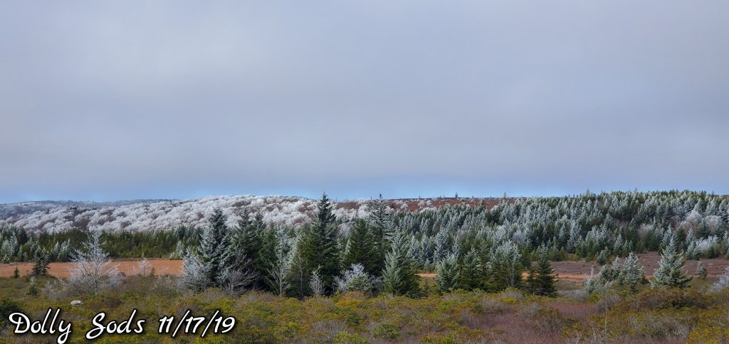
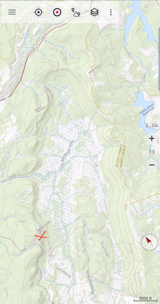
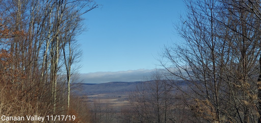
Looking east from Canaan Mt
Cloud line very visible.

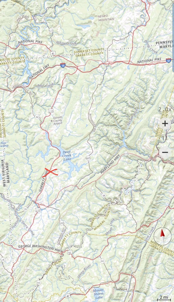
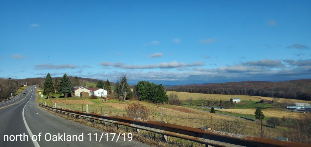
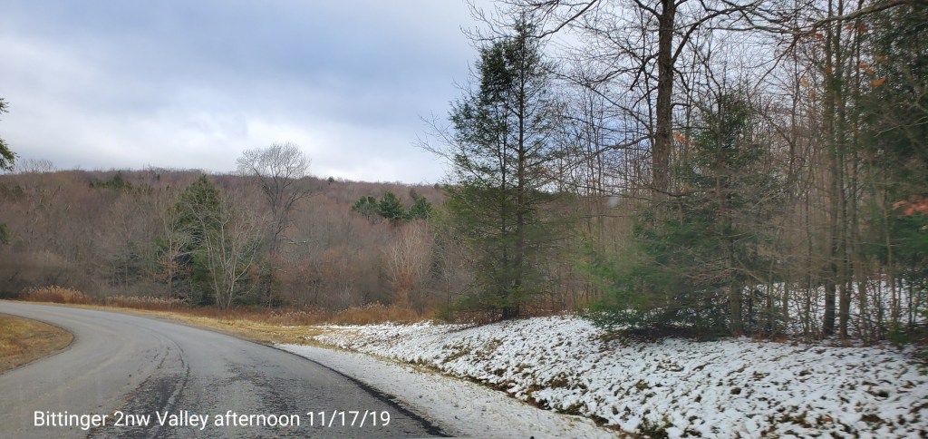
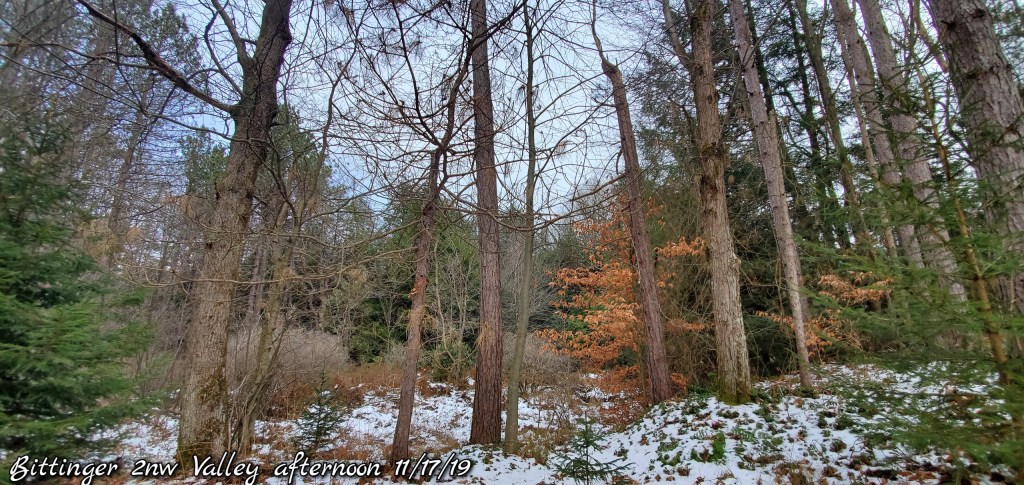
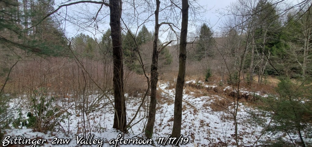
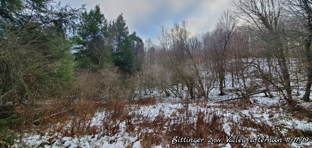
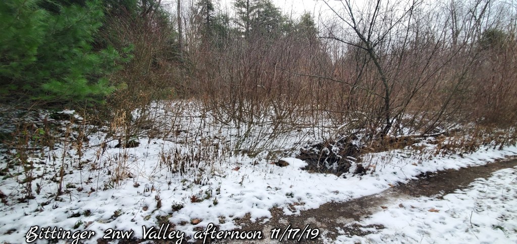
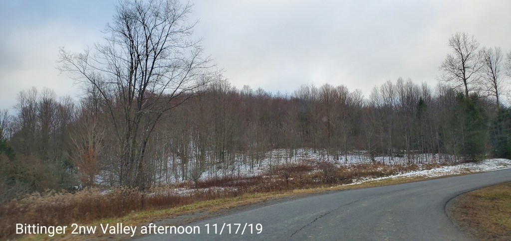
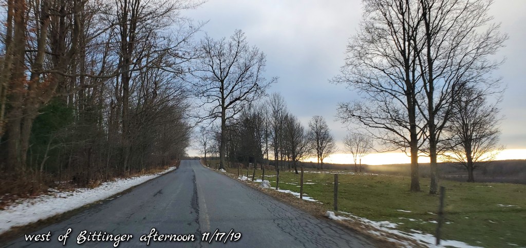
North into Garrett
From north of Oakland , that cloud line, which is often the back west edge in freezing rain setups, in the classic location.

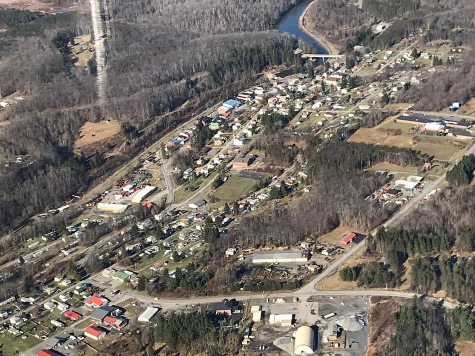
Photos by Peggy Thorne-Church
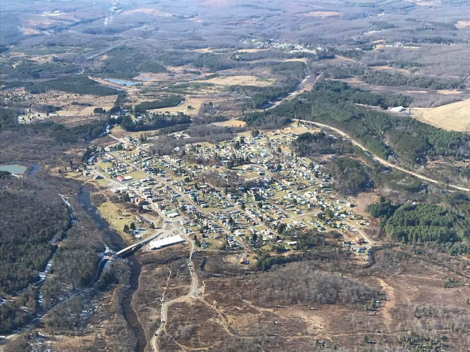
Aerial views around Canaan to Mt.Storm. excellent views of the cloud cover towards the Allegheny Front and east while sunny west of the Front.
Timberline Ski area looking east

Near Mt. Storm looking east

Thomas
Davis
Canaan Ski area

Extras – prime west to east example of skycover
