November 28, 2019
Thanksgiving
Nov 28(Thursday)
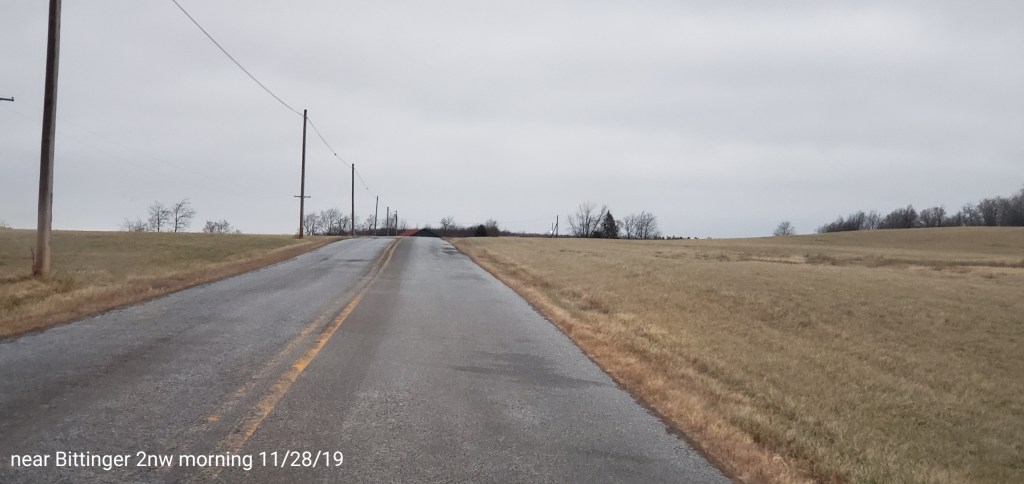
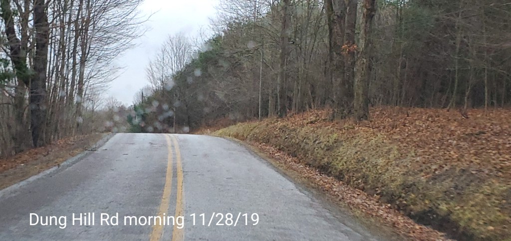
A trace of snow overnight, precip was primarily light freezing drizzle, freezing mist that continued all day in the Bittinger area. Created very icy secondary roads before they were cindered. In the Wv high ground, high elevation rime was the main event, with a trace of snow, freezing drizzle mainly north. Strong winds accompanied this throughout the region, but relaxing through the day. Fires going in the Smoke Hole Canyon today.
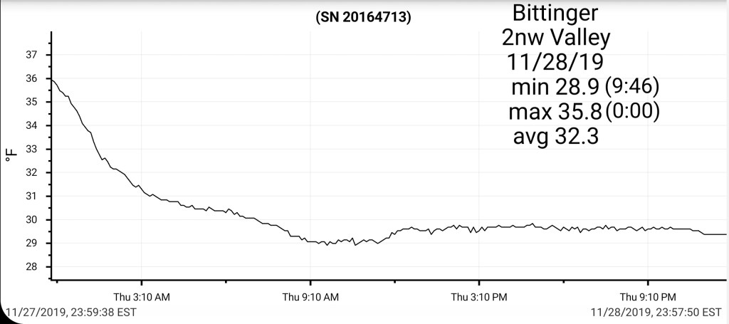
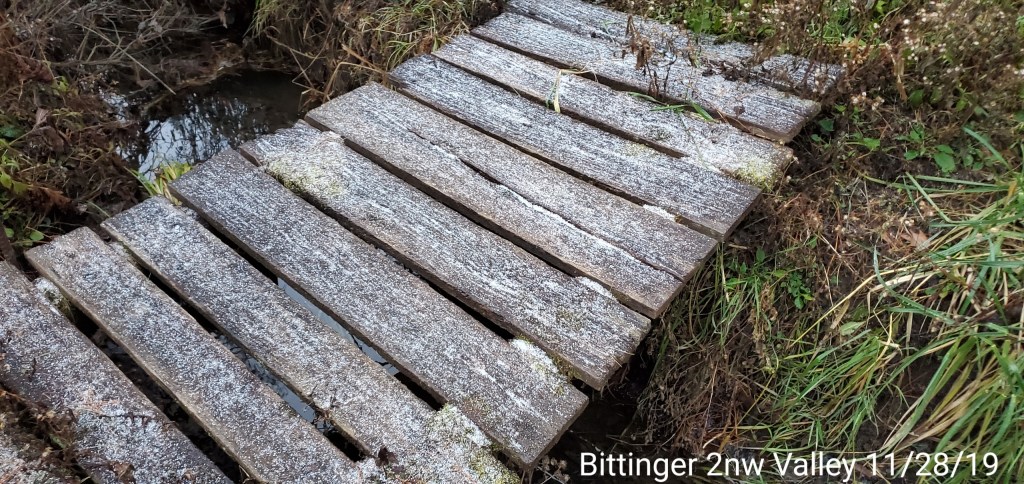
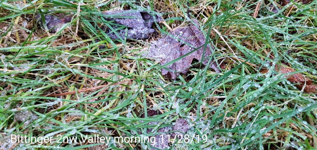
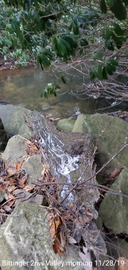
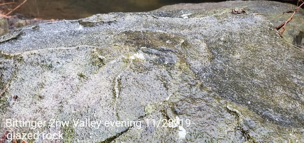
Bittinger 2nw Valley
MIN[28.9]–MAX[35.8]–AVG[32.3]–PRECIP[.03]7am
Snowfall- trace
Season to date snowfall 5.3″
Coating of freezing rain, up to +/- a tenth west facing areas that had wind driven drizzle all day with temps at 29°
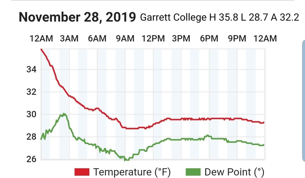
Garrett College
MIN[28.7]—MAX[35.8]—AVG[32.2]—PRECIP[0]
Tipping bucket gauge, precip recieved frozen.
Canaan Heights/Davis 3SE
MIN[24.6]—MAX[32.0]—AVG[28.3]—PRECIP[.02]7am
Comments by Dave Lesher
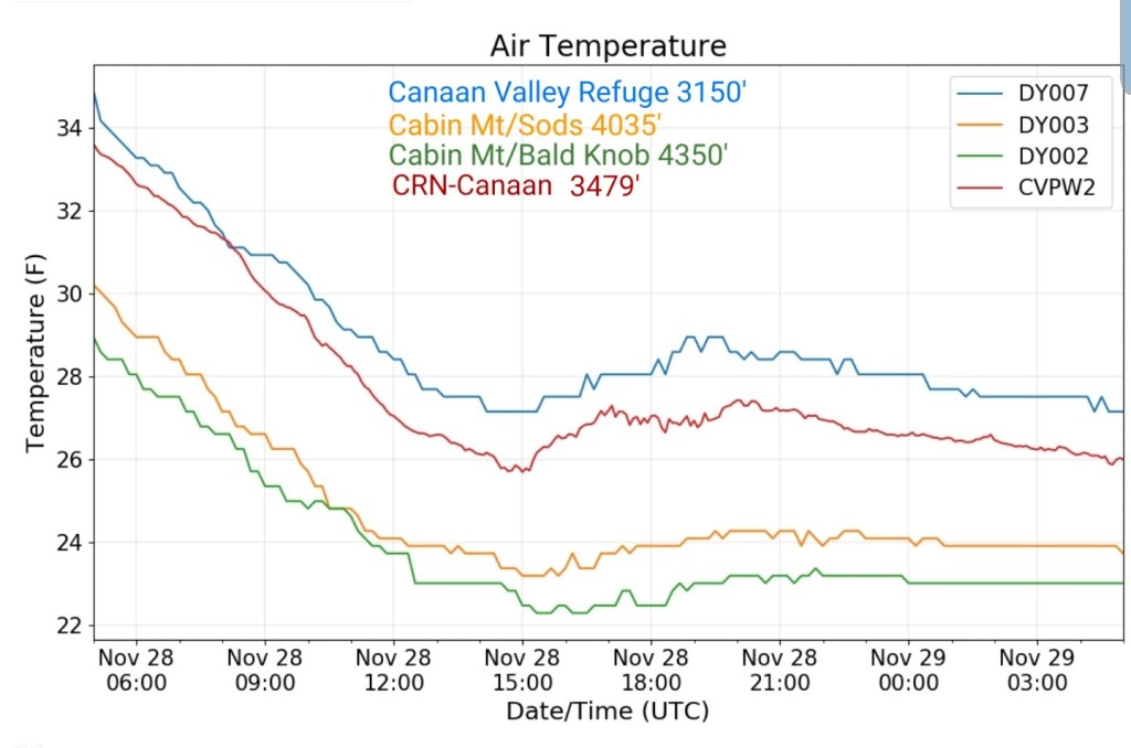
Climate Reference Network Canaan
MIN[25.7]—MAX[33.6]—AVG[29.6]

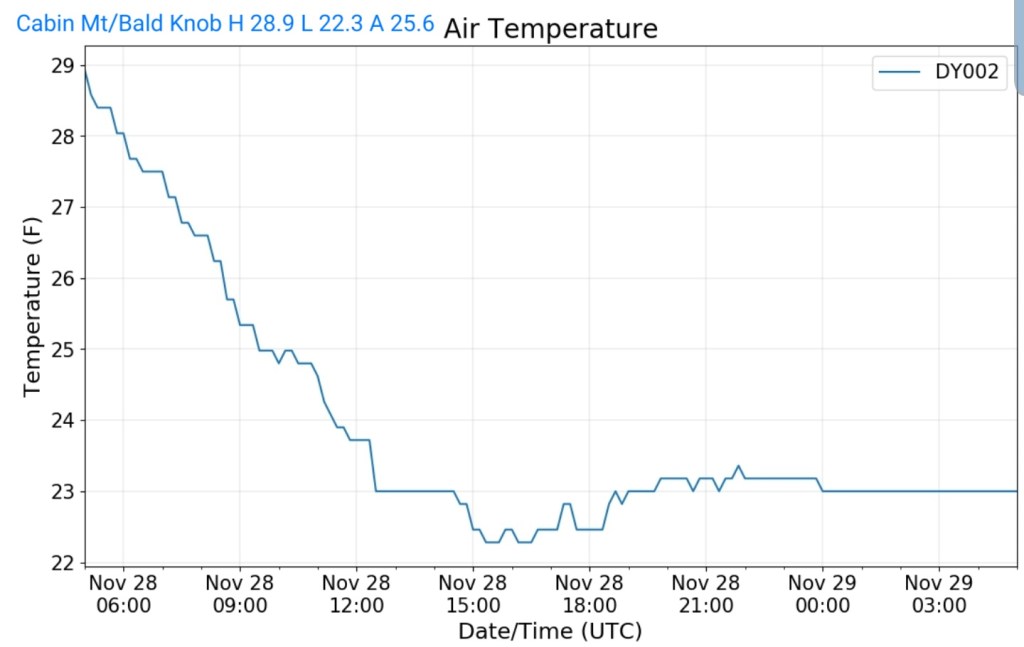
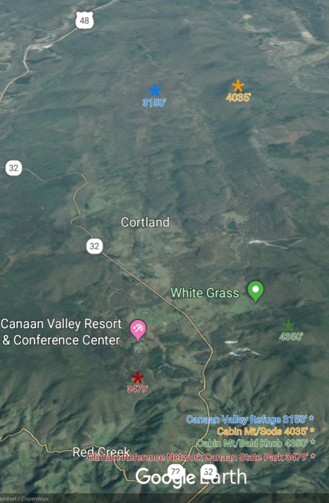
Cabin Mt at Bald Knob
MIN[22.3]—MAX[28.9]—AVG[25.6]—PRECIP[0]
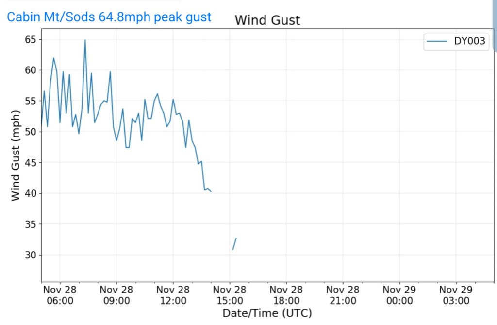
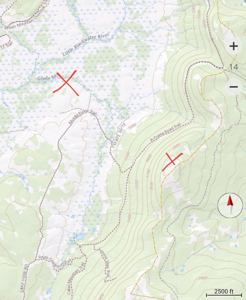
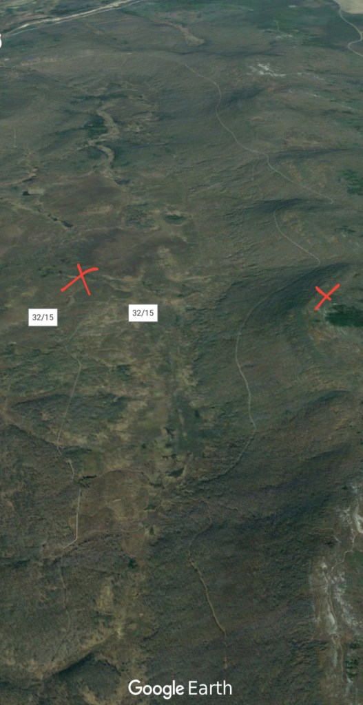
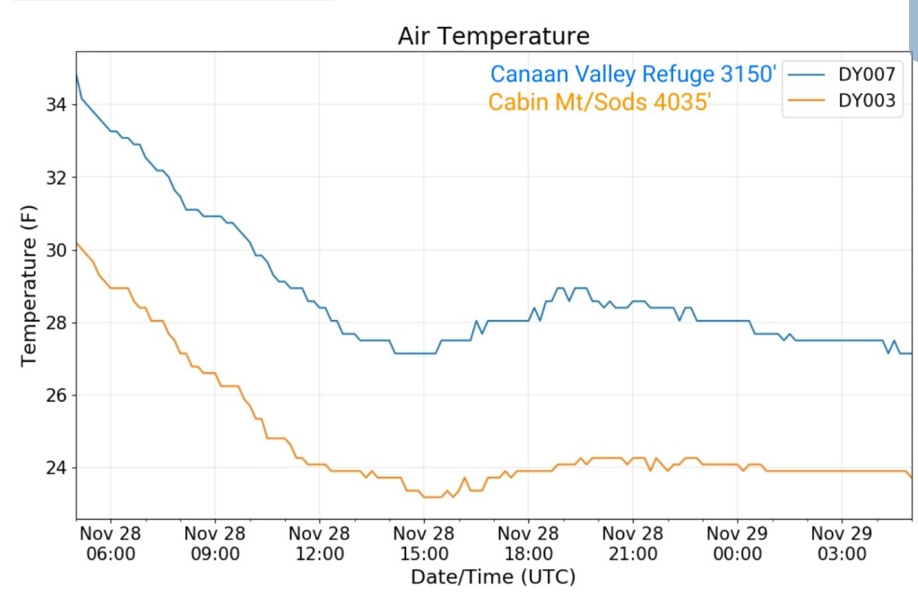
Cabin Mt- western Sods
MIN[23.2]—MAX[30.2]—AVG[26.7]—PRECIP[0]

Wind gust peaked at 2:20am at 64.8mph
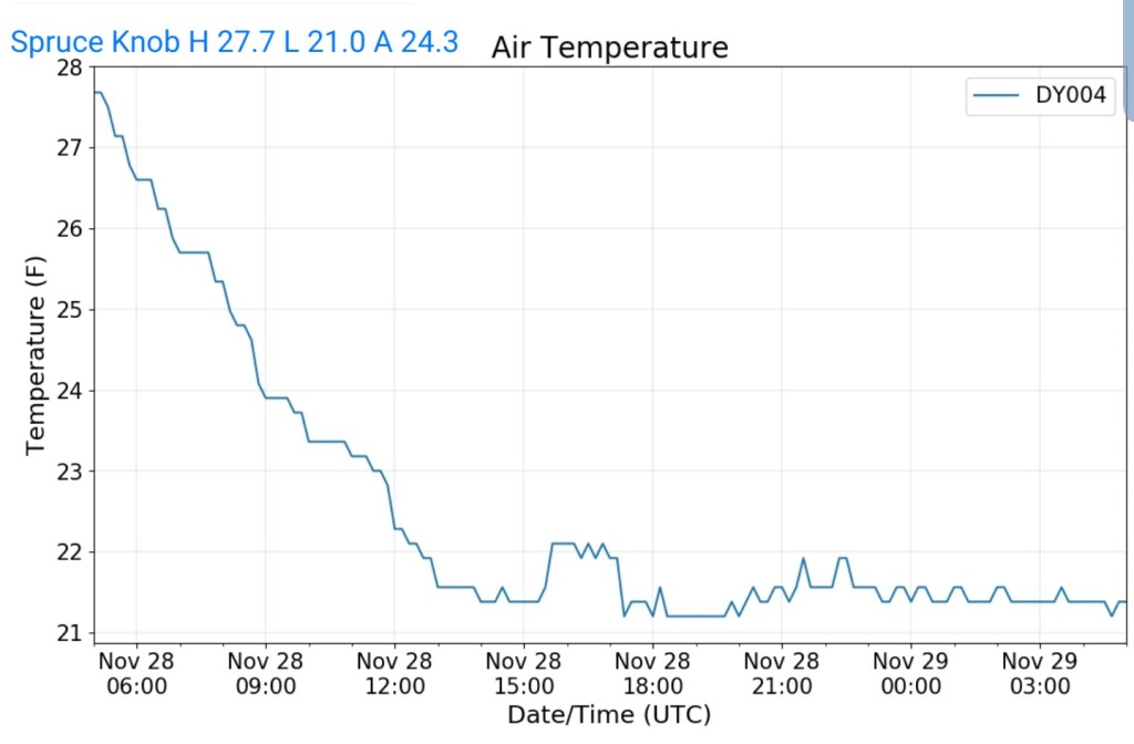
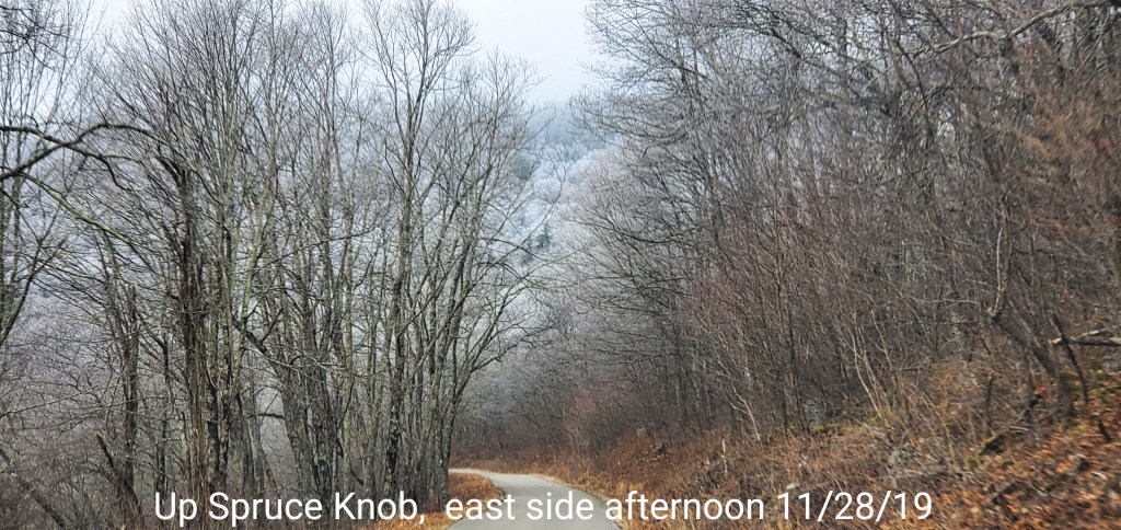
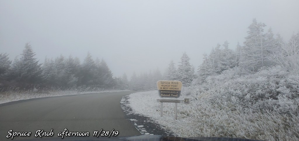
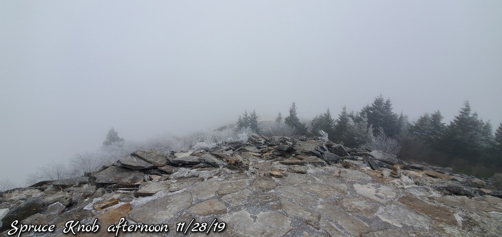
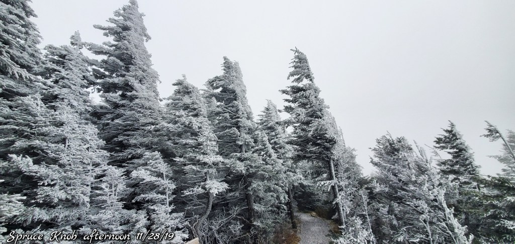
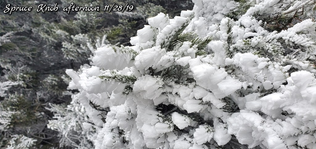
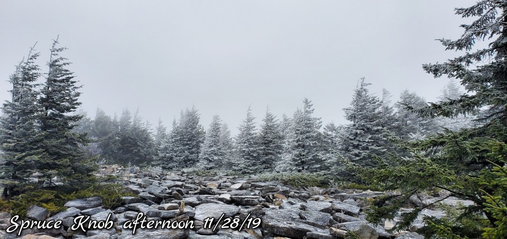
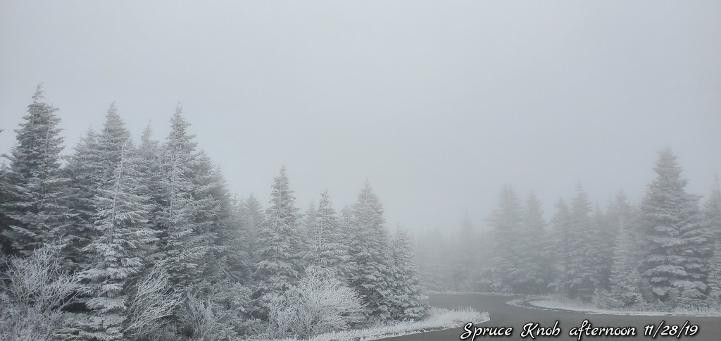
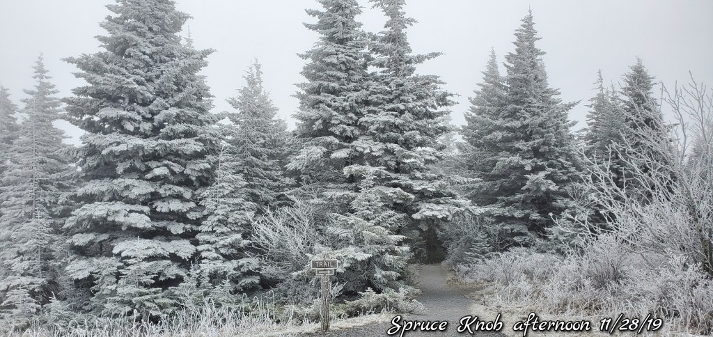
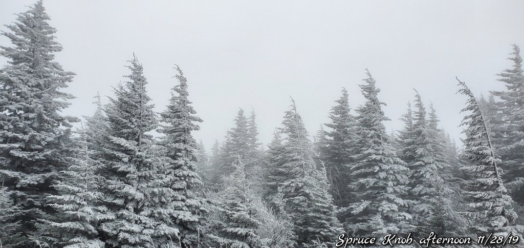
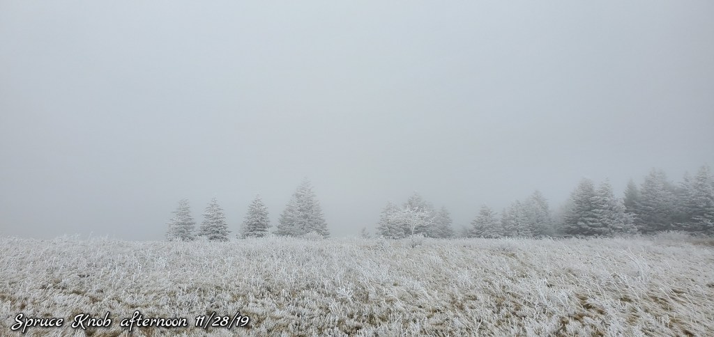
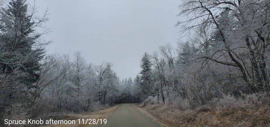
Spruce Knob
MIN[21.0]—MAX[27.7]—AVG[24.3]—PRECIP[0]
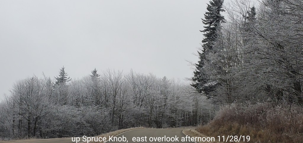
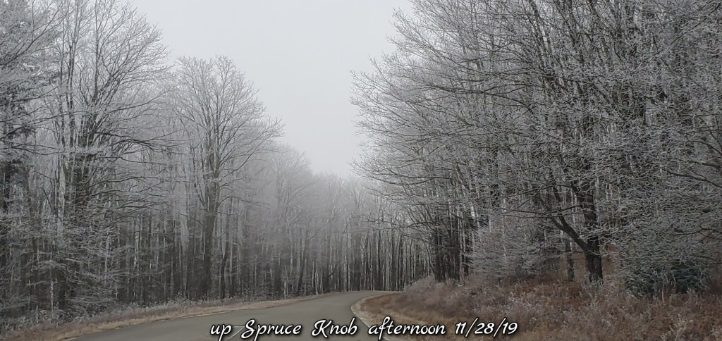
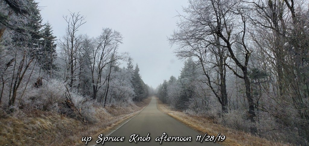
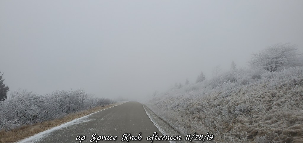
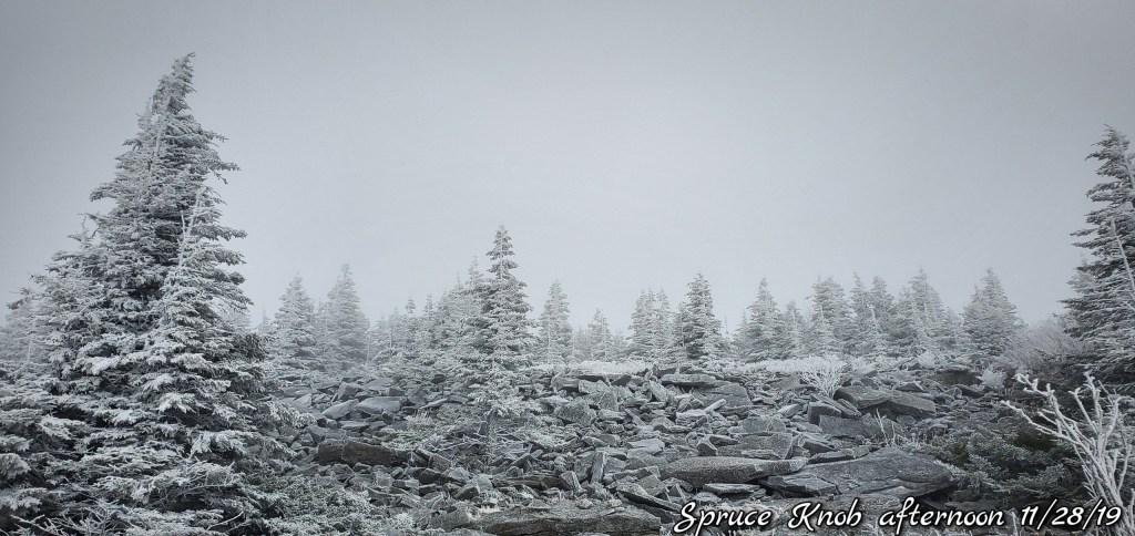
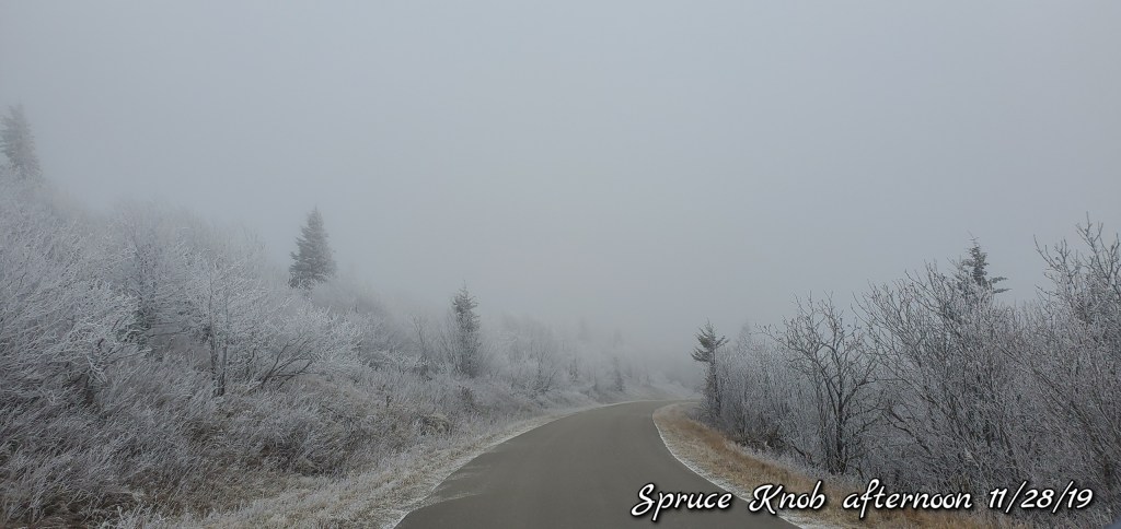
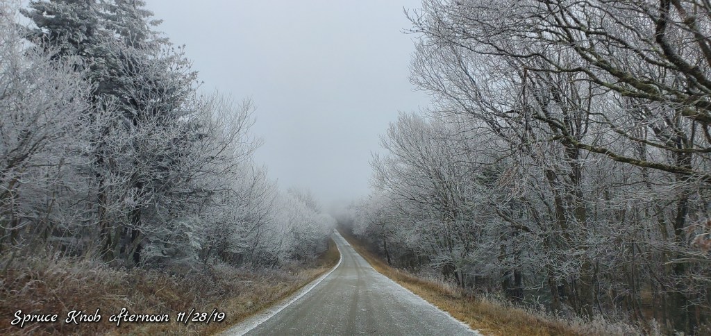
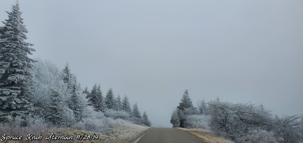
Spruce was rimed up nicely as you’ll see in pics and video on below
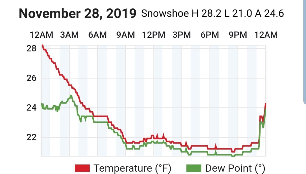
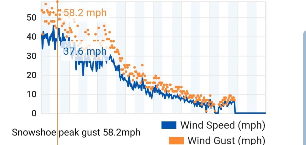
Snowshoe
MIN[21.0]—MAX[28.2]—AVG[24.6]
Wind gust peak at 58.6. Again, siting of this station is unknown. Wind data may or may not be accurate.
Canaan Valley Refuge
MIN[27.0]—MAX[34.9]—AVG[30.9]

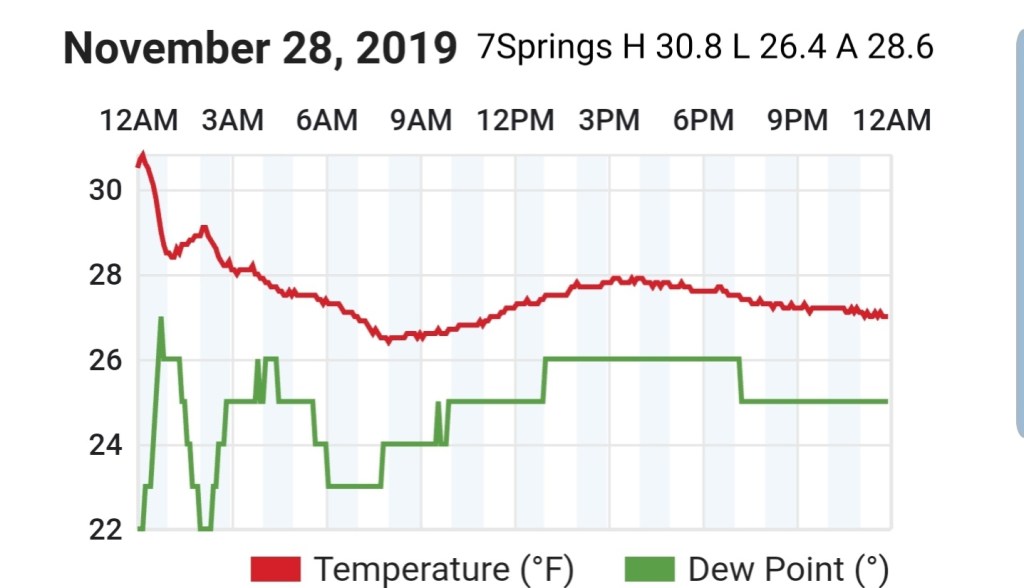
7Springs
MIN[26.4]—MAX[30.8]—AVG[28.6]
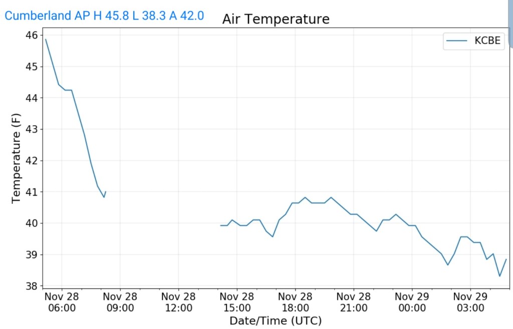
Cumberland Airport
MIN[38.3]—MAX[45.8]—AVG[42.0
The Valley vs Cabin Mt
Canaan area temps
Comparison view
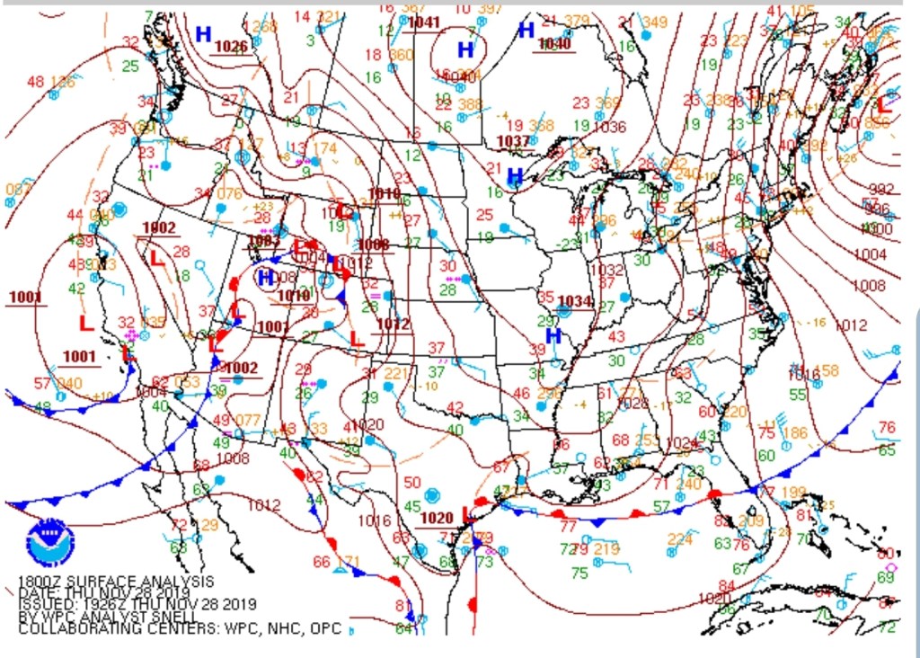
RTMA
Radar
Most of the consistent light drizzle north went undetected.
Satellite
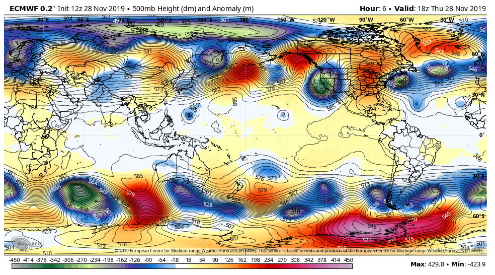
Flow
Surface features and 500mb height anomalies and flow

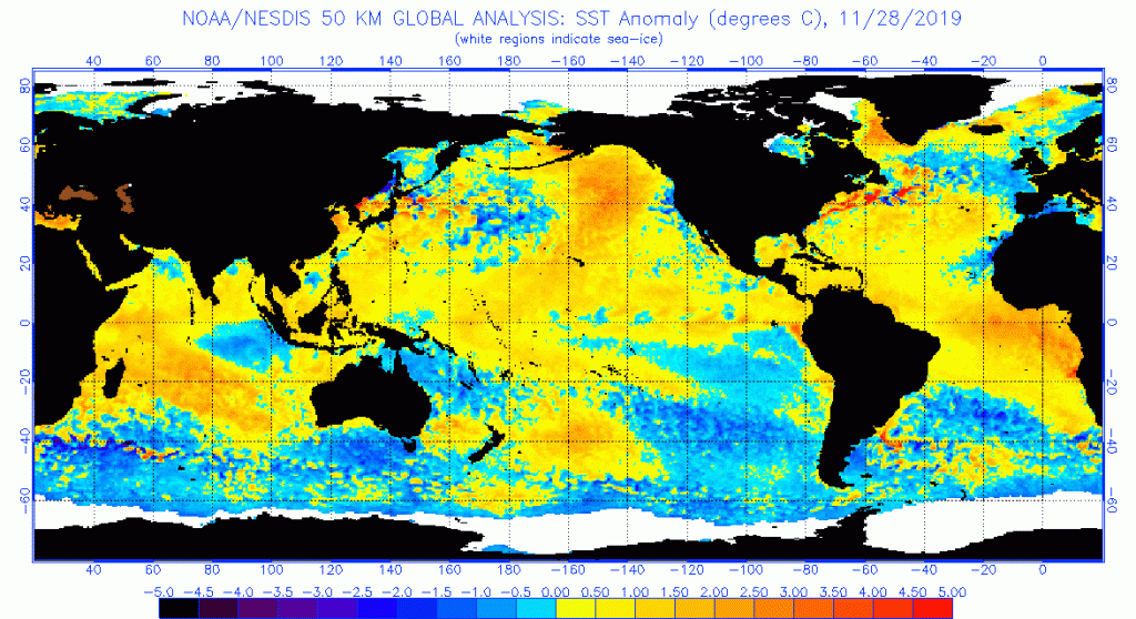
Sea Surface Temperature Anomaly
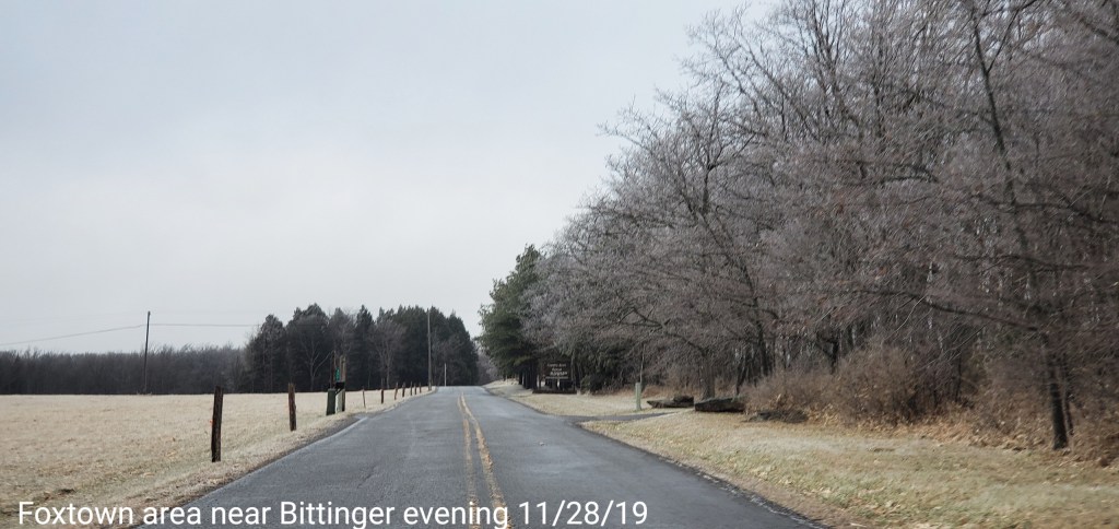
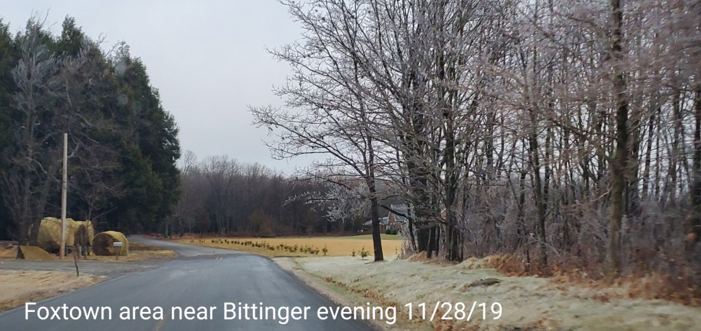
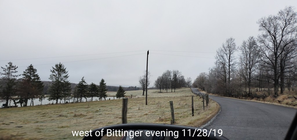
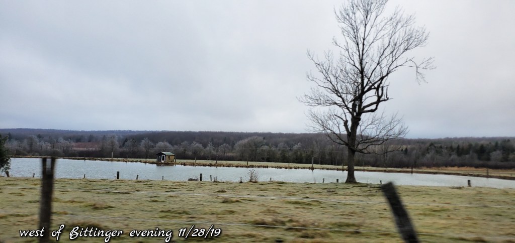
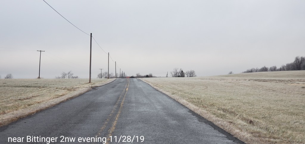
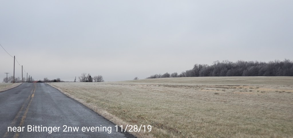
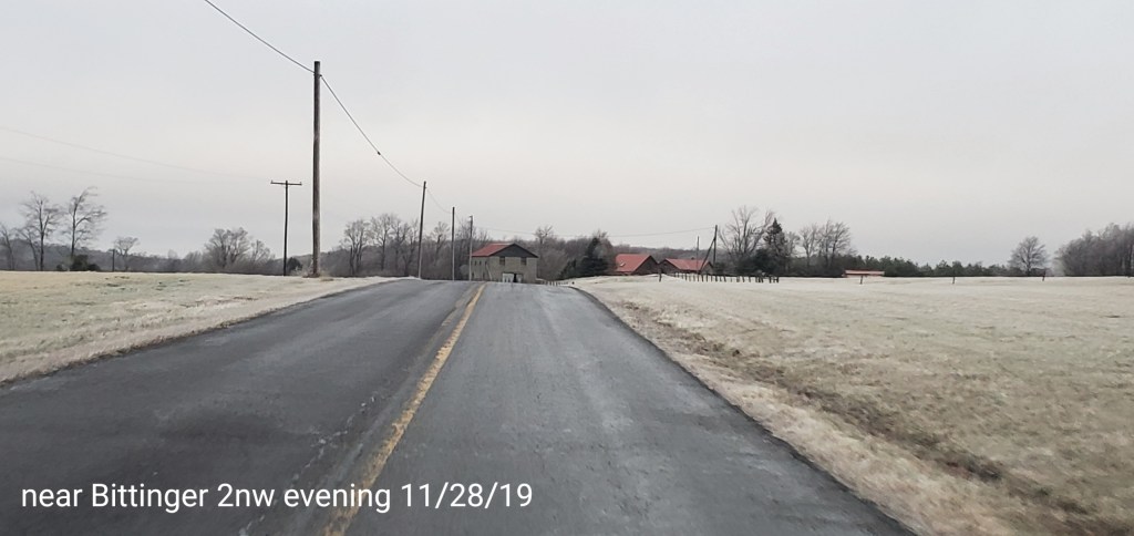
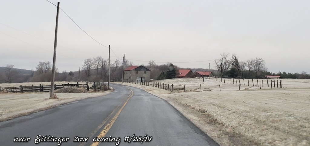
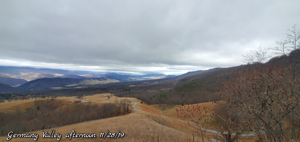
Pics today-
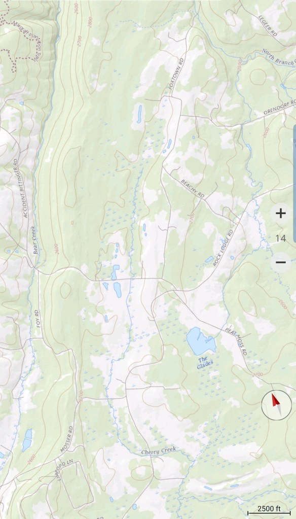
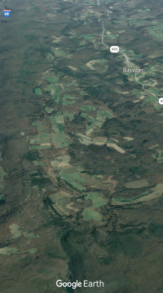
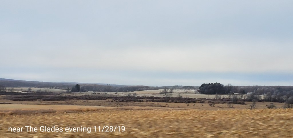
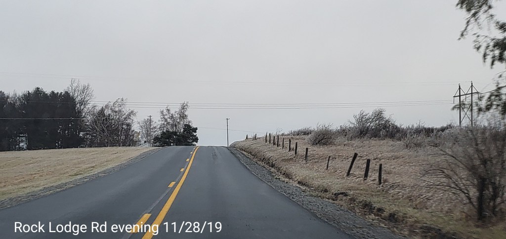
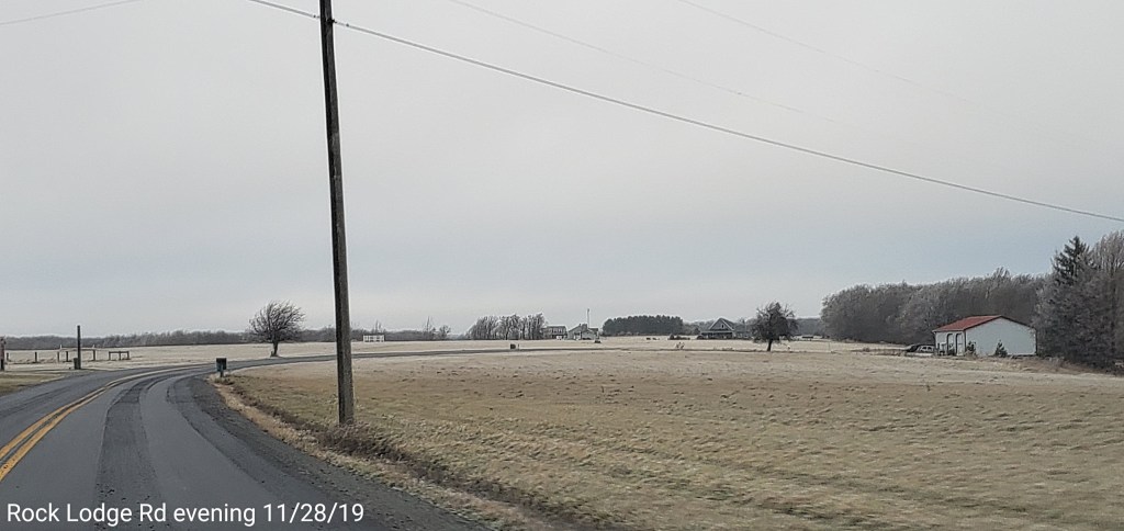
Bittinger area


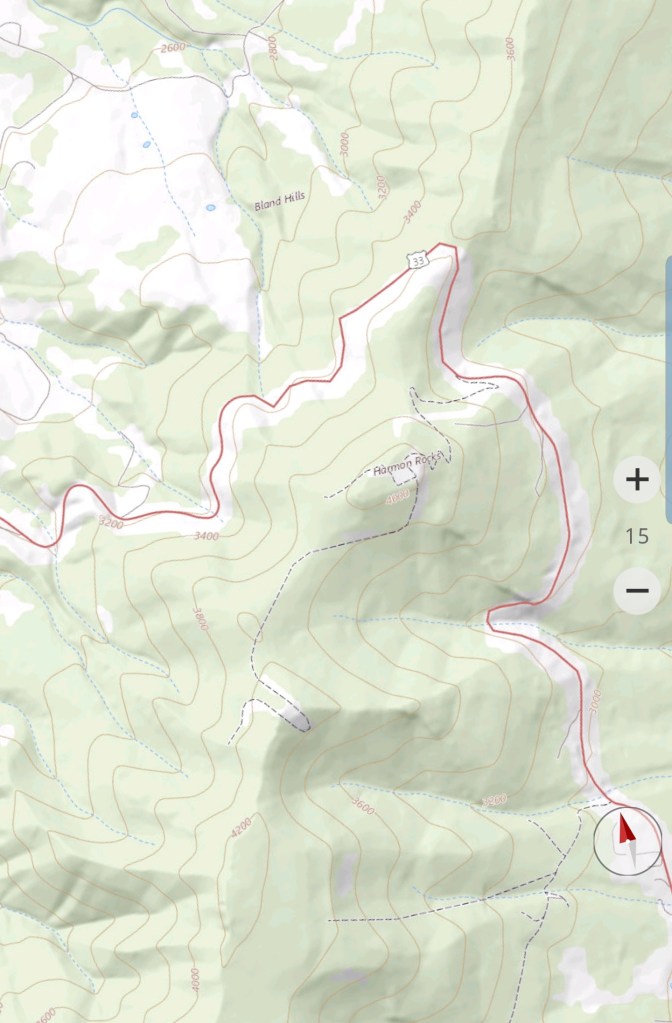
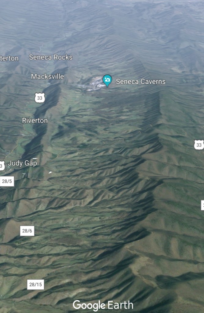
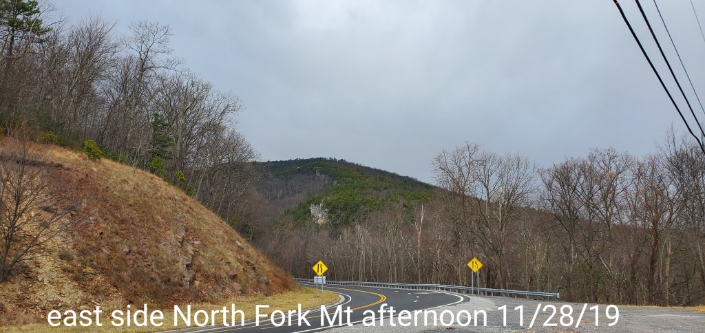
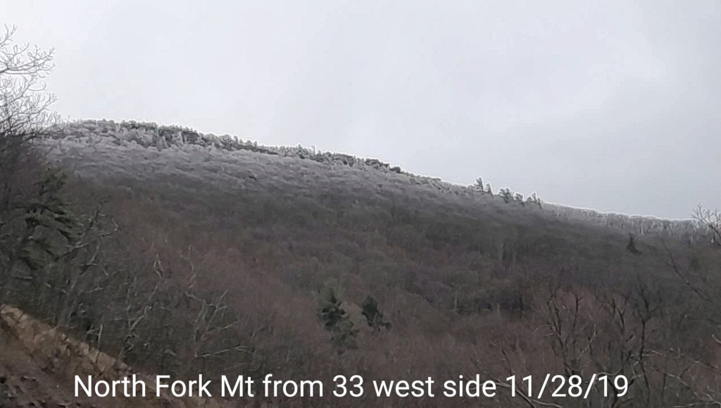
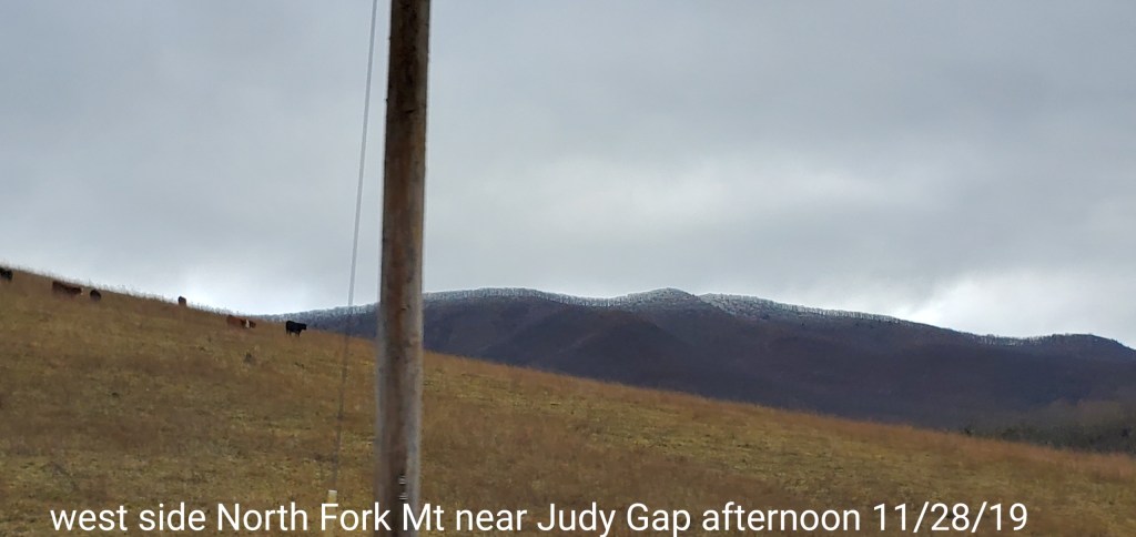
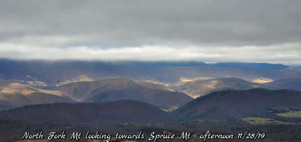
North Fork Mountain
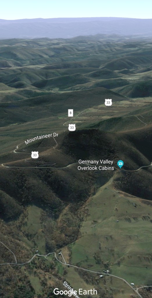
From Rt 33


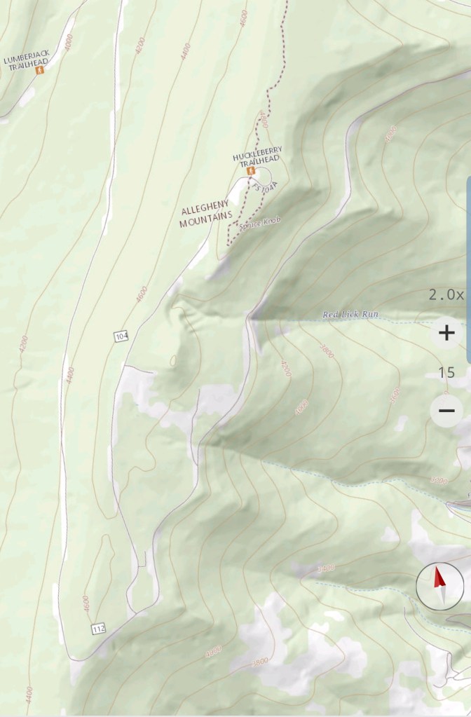
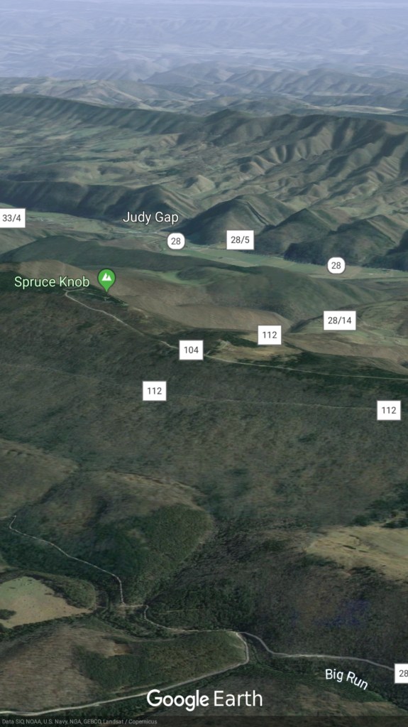
Spruce Knob


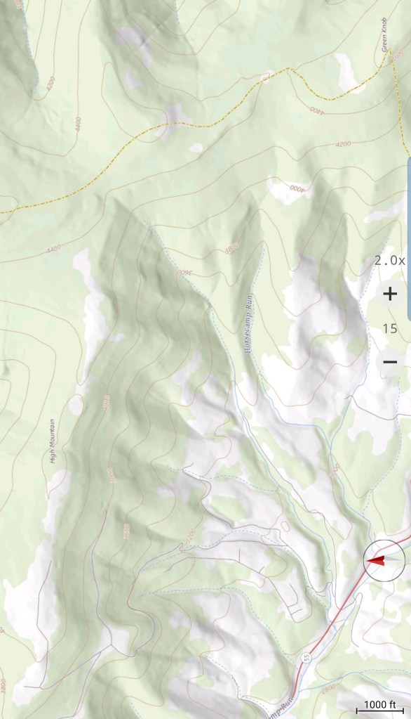
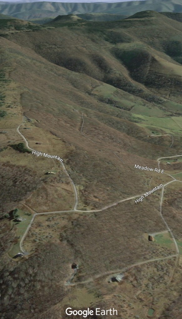
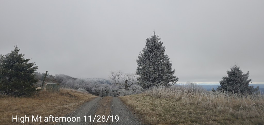
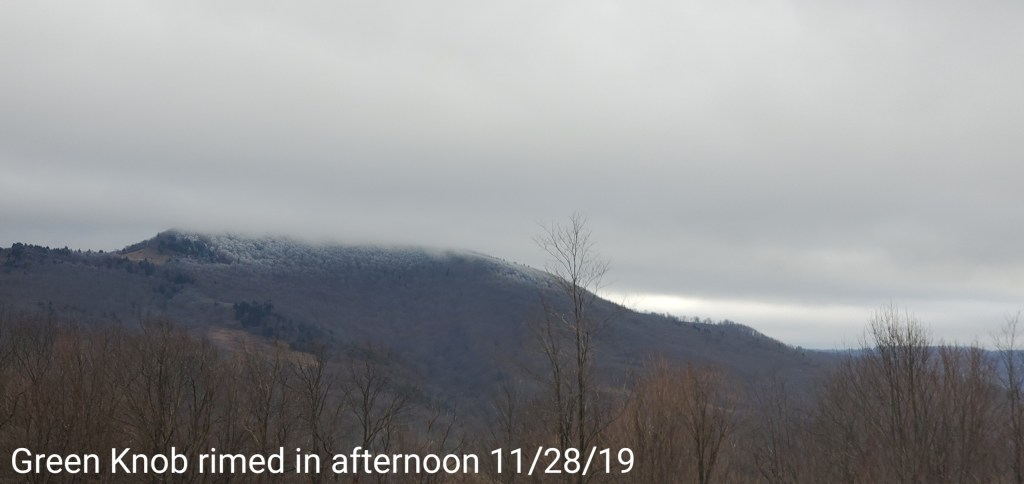
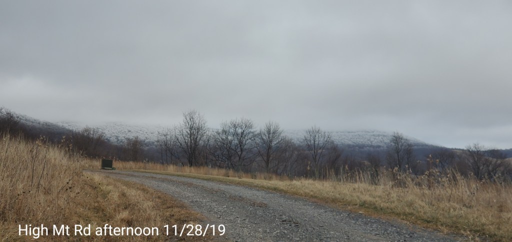
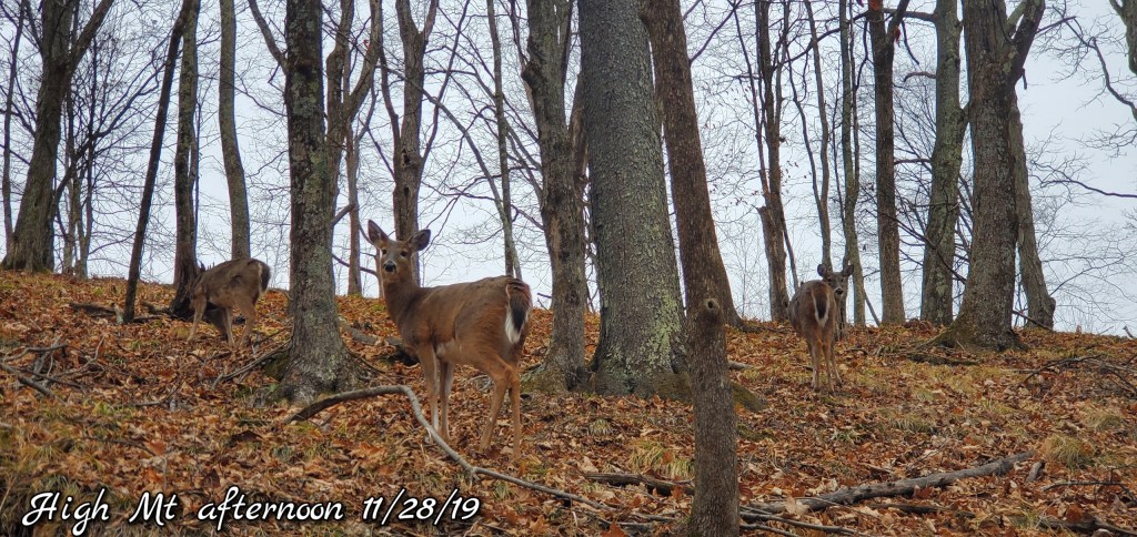
High Mountain area
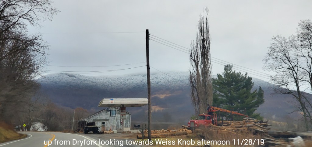
Weiss Knob coming up from Dryfork
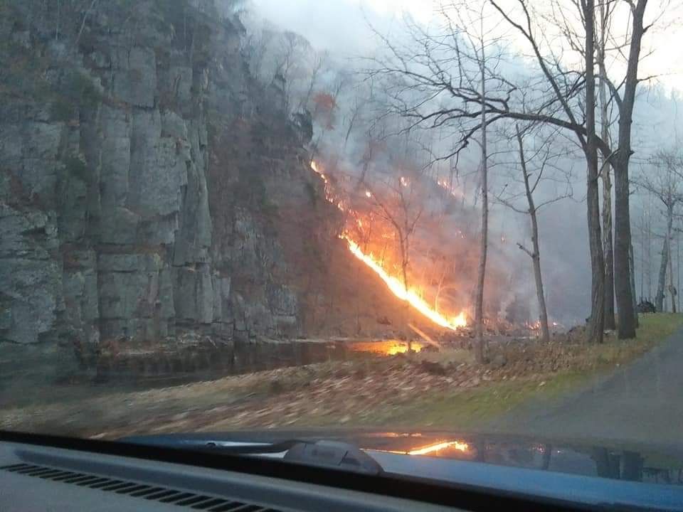
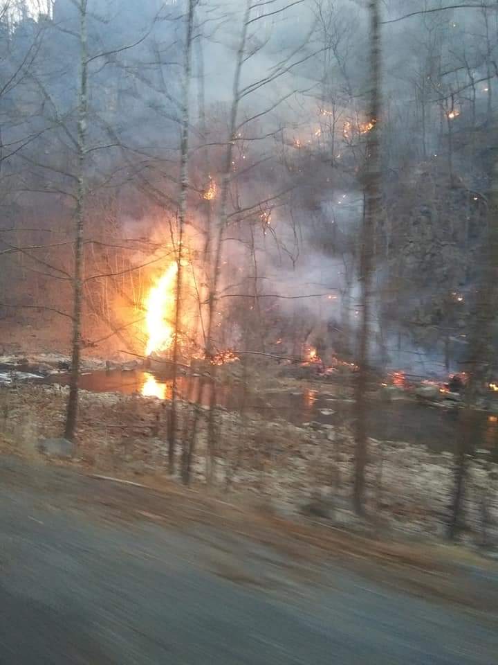
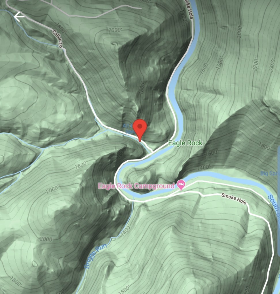
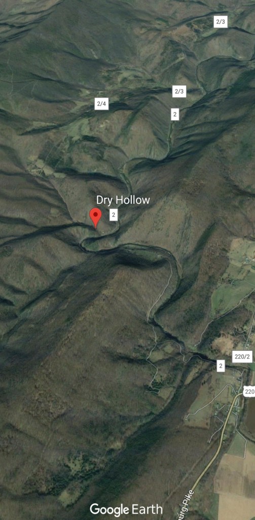
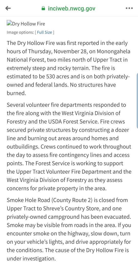
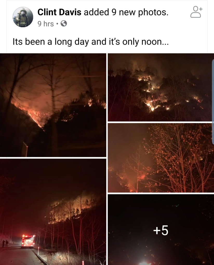
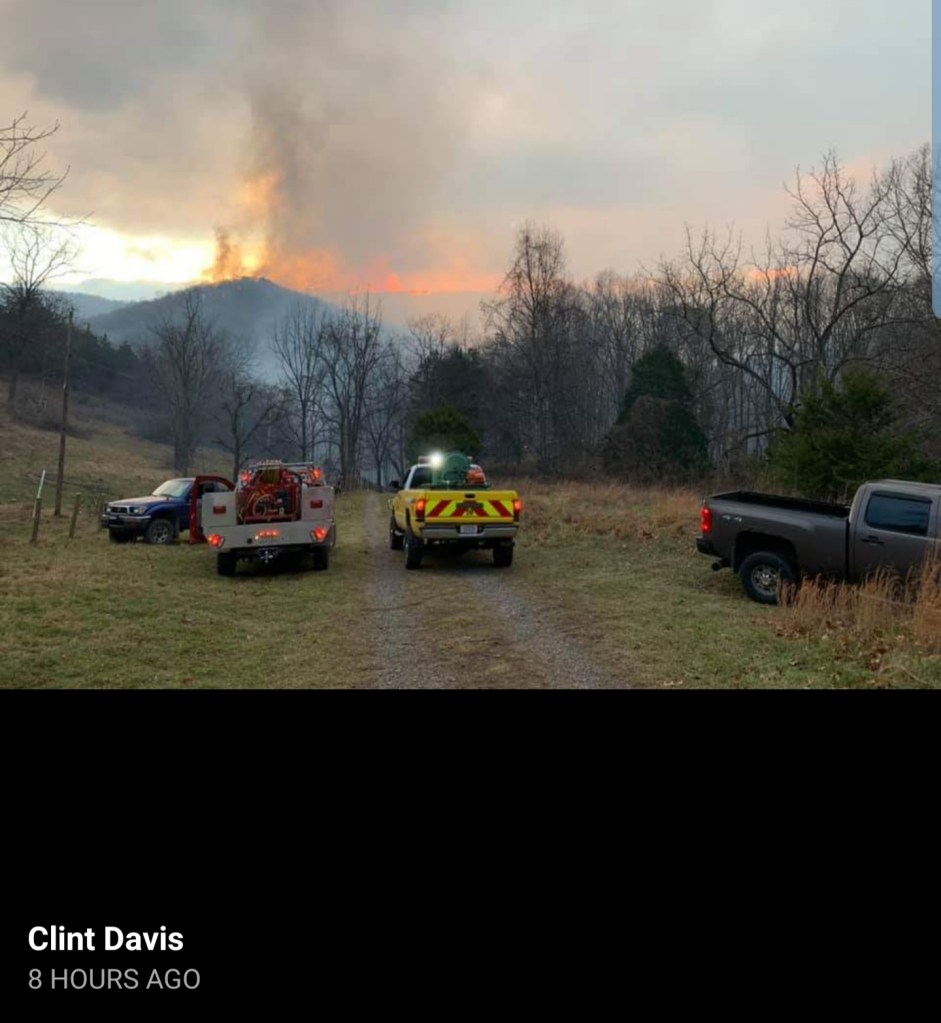
Smoke Hole Fire
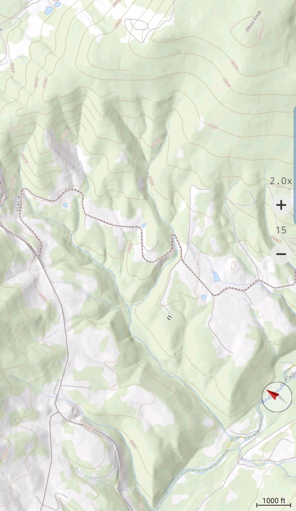
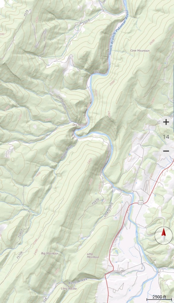
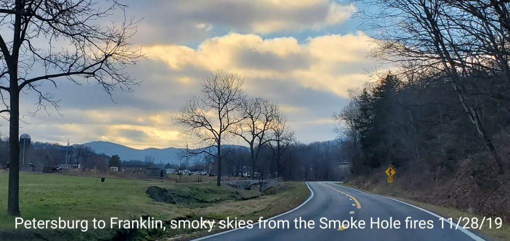
Driving south on 220 today towards Franklin from Petersburg, the sky became noticeably hazy looking. A fire burning near Eagle Rock/Dry Hollow/Cave Mt at the southern end of the Smoke Hole area.(Dry Hollow,Smoke Hole- there is a reason for those names)
The area is very rugged, very steep and covered in fresh falling leaf debri from autumn. After very strong winds drying the surface, and aiding the fire, it was able to move quickly. Below is some information, maps, social media photos of the event location.
As I was headed south on 220….the air had that smoky, dim appearance.
Social media photos
photos by Clint Davis
Photos by @troutslayer_99 on instagram


Photis and video by Joanna Blare