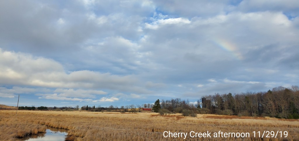
November 29, 2019
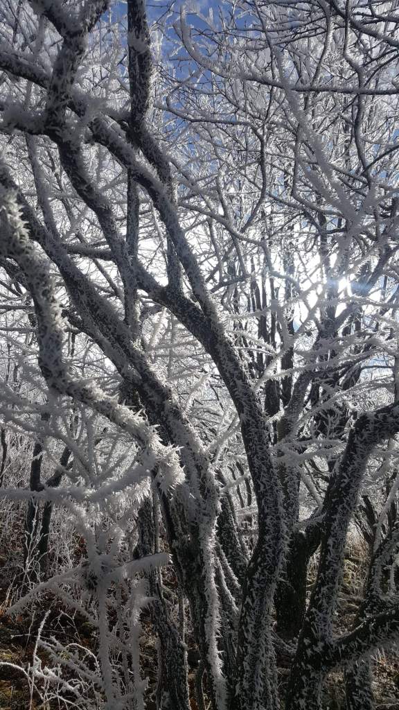
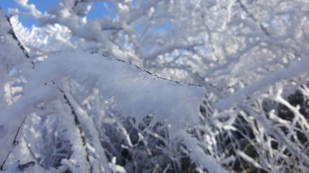
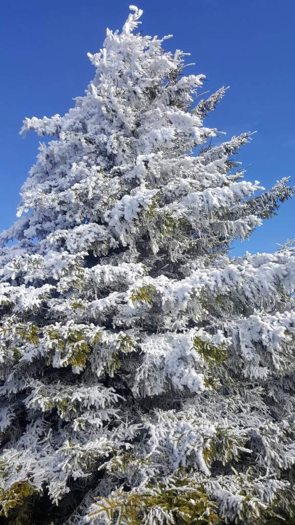
The day remained mostly cloudy but dry. Temp profile was one of latitude, not just altitude. Areas north remained cooler vs south. My area retained yesterdays ice on the trees the entire day.
Nov 29(Friday)
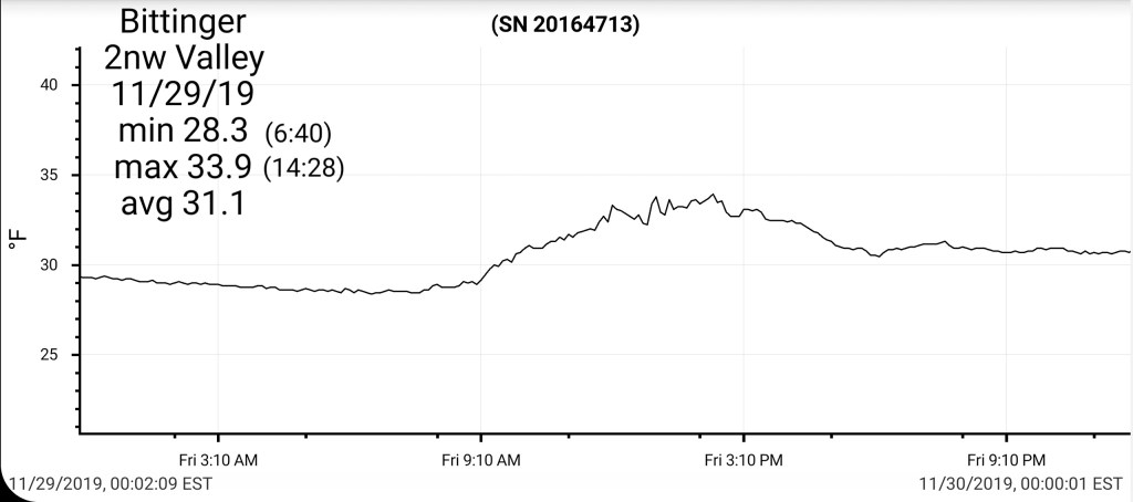
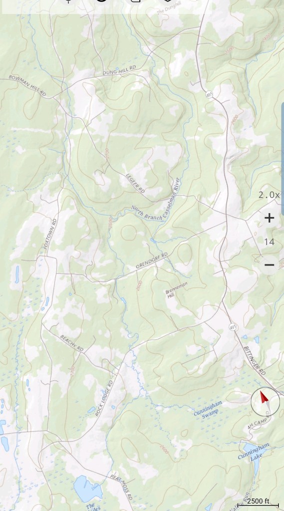
Bittinger 2nw Valley
MIN[28.3]–MAX[33.9]–AVG[31.1]—PRECIP[T]7am
Snowfall season to date 5.3″
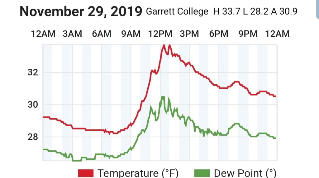
Garrett College
MIN[28.2]—MAX[33.7]—AVG[30.9]—PRECIP[.02]
Precip would be melt from yesterday
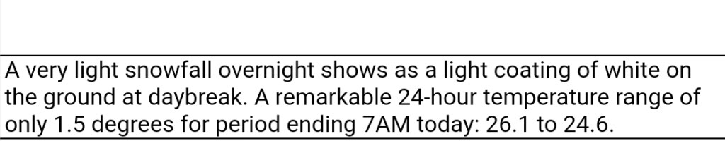
Canaan Heights/Davis 3SE
MIN[24.5]—MAX[37.9]—AVG[31.2]—PRECIP[T]
Snowfall season to date 8.9″
comments by Dave Lesher
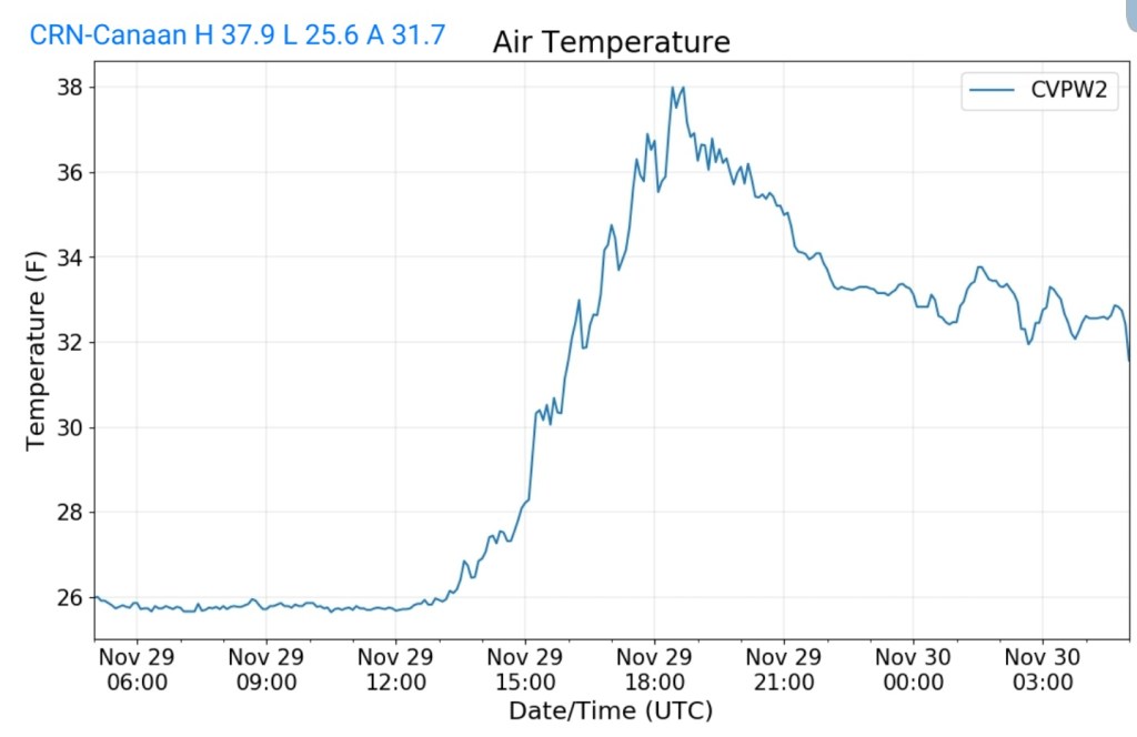
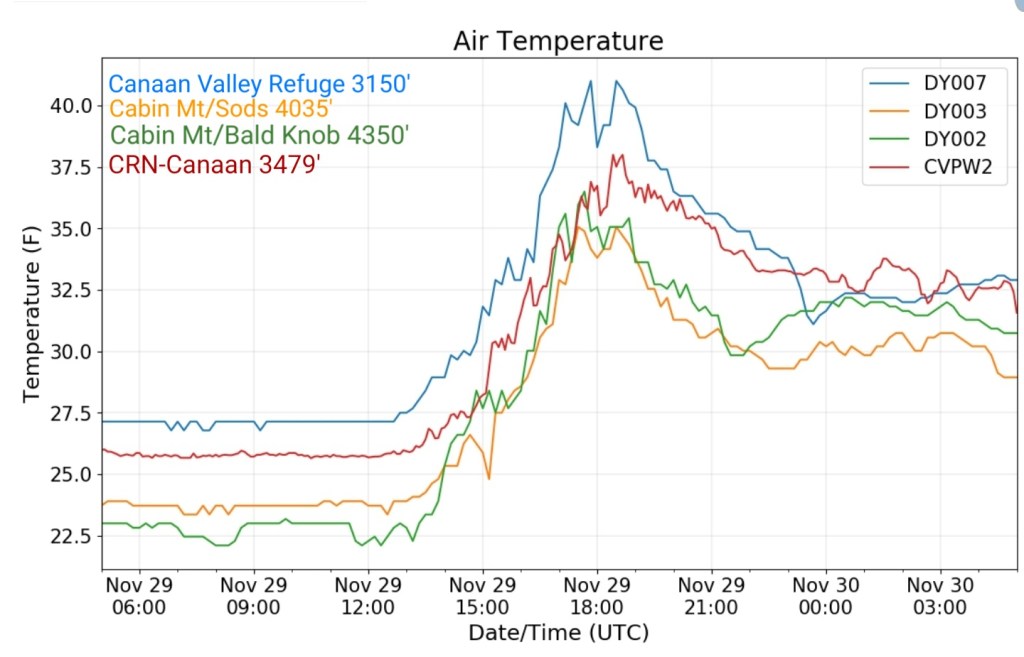
Climate Reference Network Canaan
MIN[25.6]—MAX[37.9]—AVG[31.7]—PRECIP[
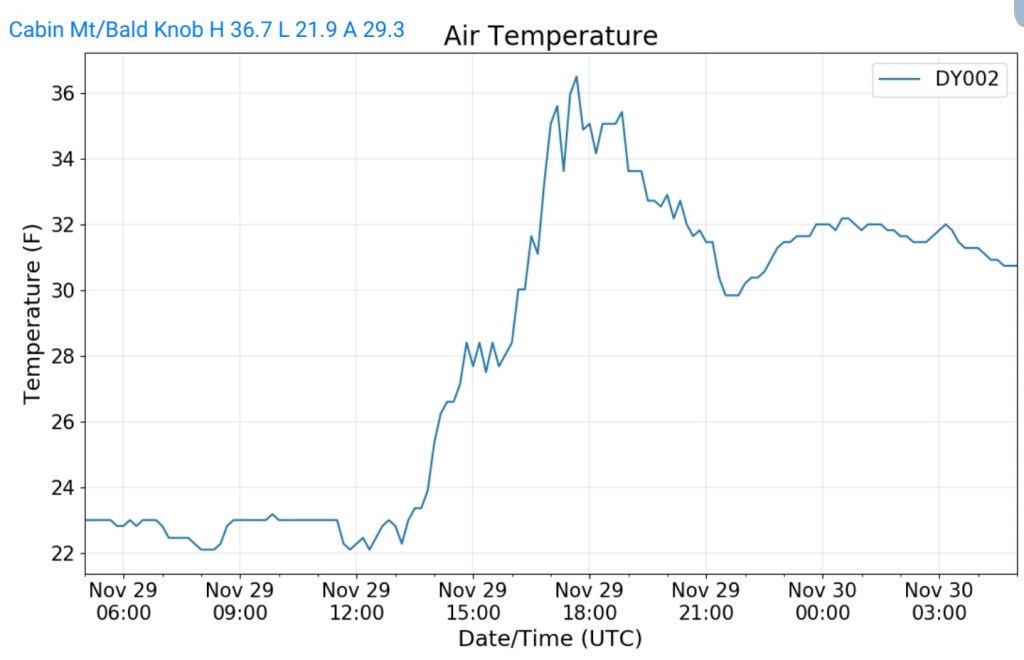
Cabin Mt at Bald Knob
MIN[21.9]—MAX[36.7]—AVG[29.3]—PRECIP[0]
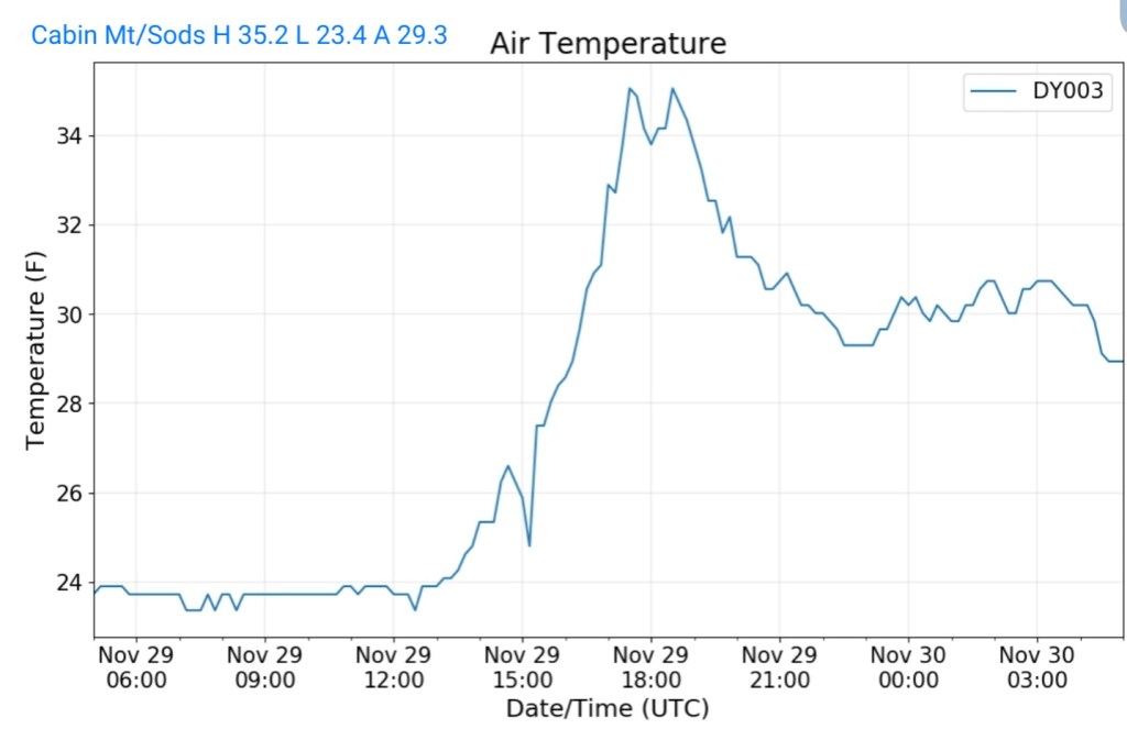
Cabin Mt – western Sods
MIN[23.4]—MAX[35.2]—AVG[29.3]—PRECIP[.03]
Precip is melt
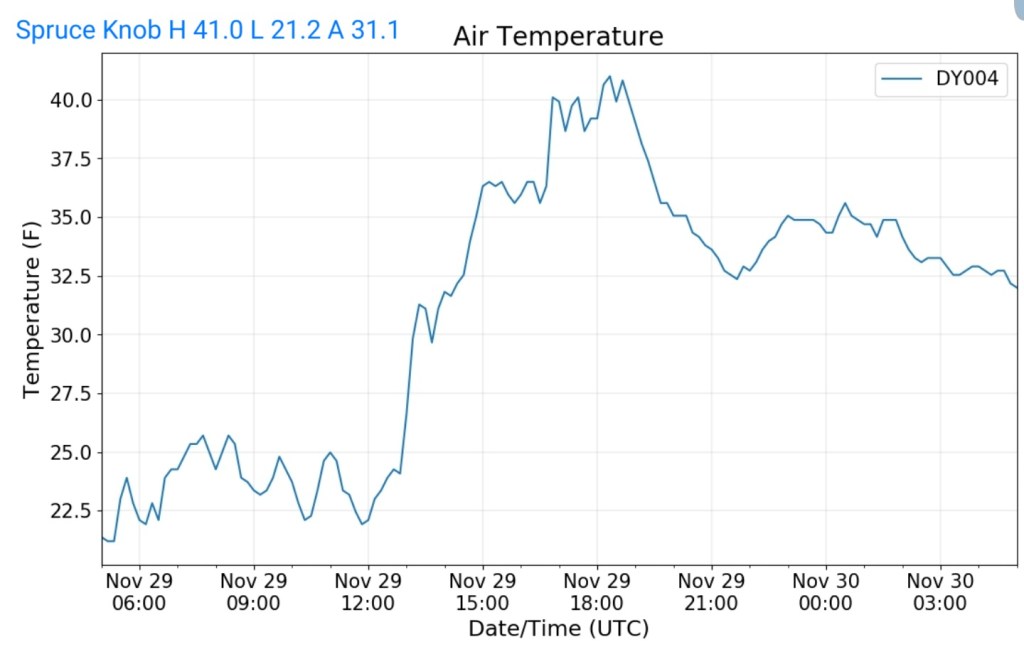
Spruce Knob
MIN[21.2]—MAX[41.0]—AVG[31.1]—PRECIP[0]
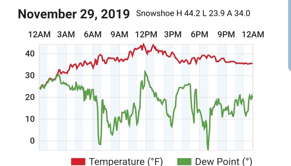
Snowshoe
MIN[23.9]—MAX[44.2]—AVG[34.0]
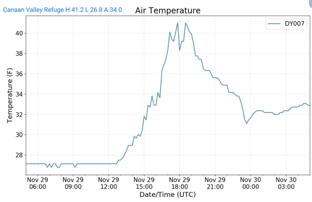
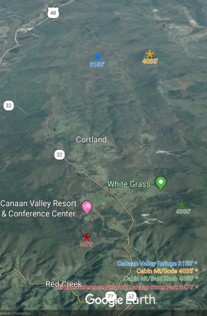
Canaan Valley Refuge
MIN[26.8]—MAX[41.2]—AVG[34.0]
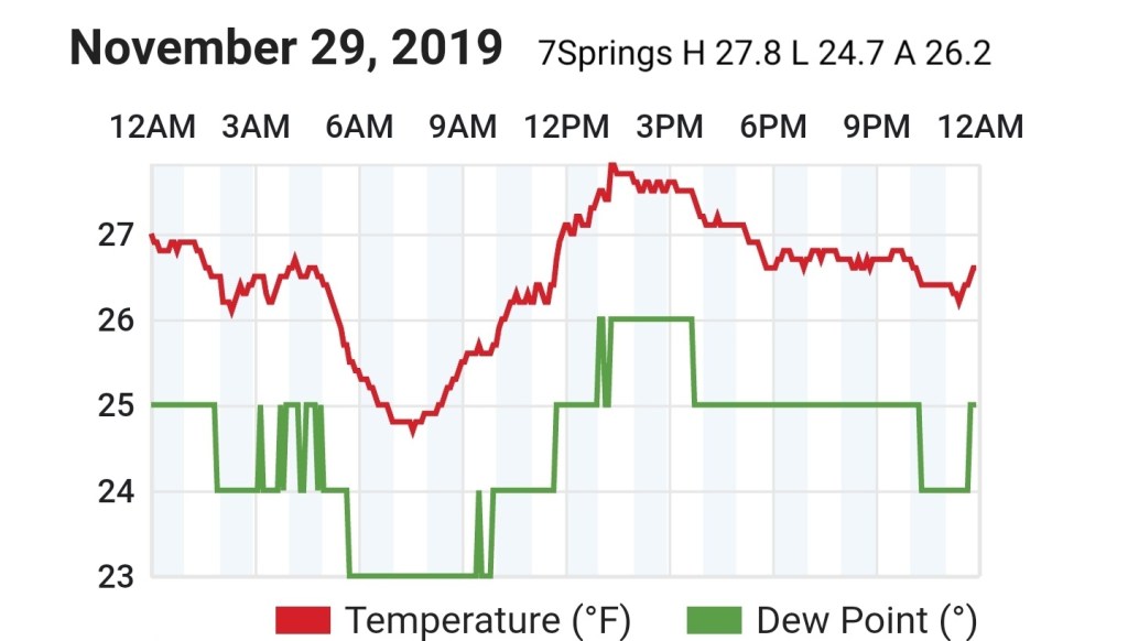
7Springs
MIN[24.7]—MAX[27.8]—AVG[26.2]
Cumberland Airport
MIN[34.1]—MAX[48.0]—AVG[41.0]

The Valley vs Cabin Mt


Canaan area temps
RTMA
Radar void
Satellite
Flow
Surface features and 500mb height anomalies and flow


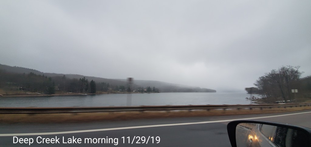
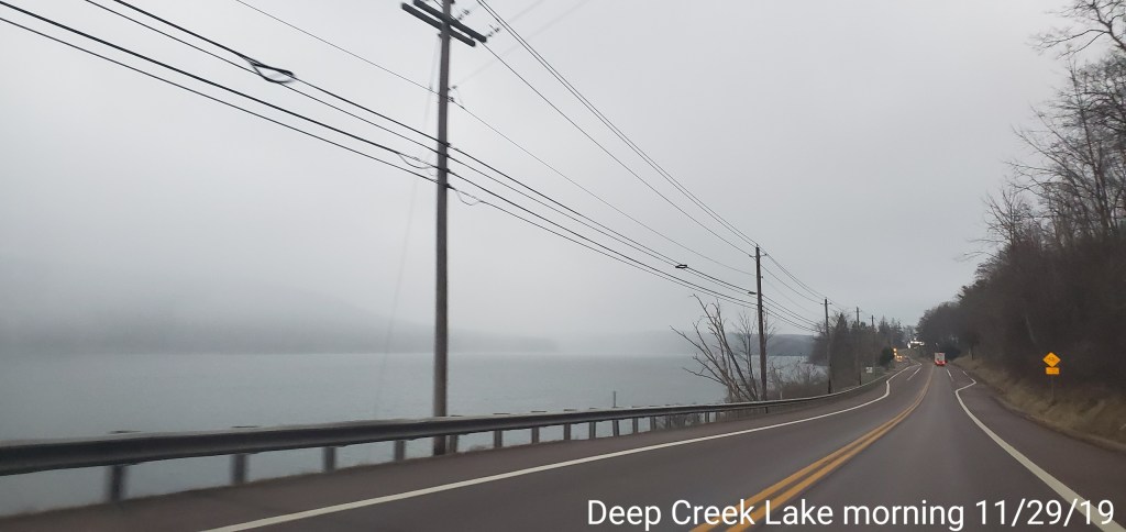
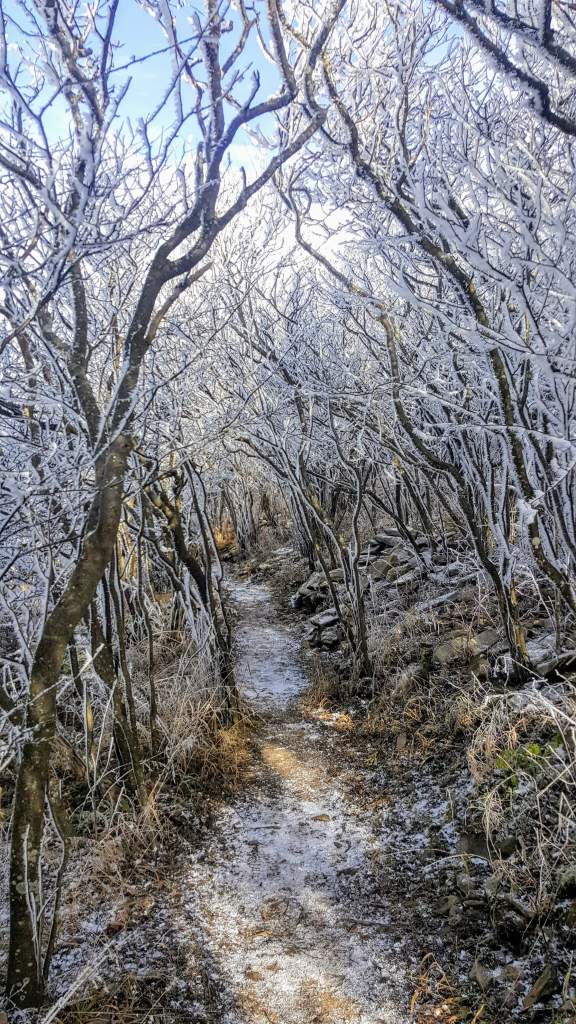
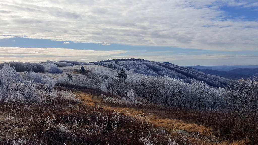
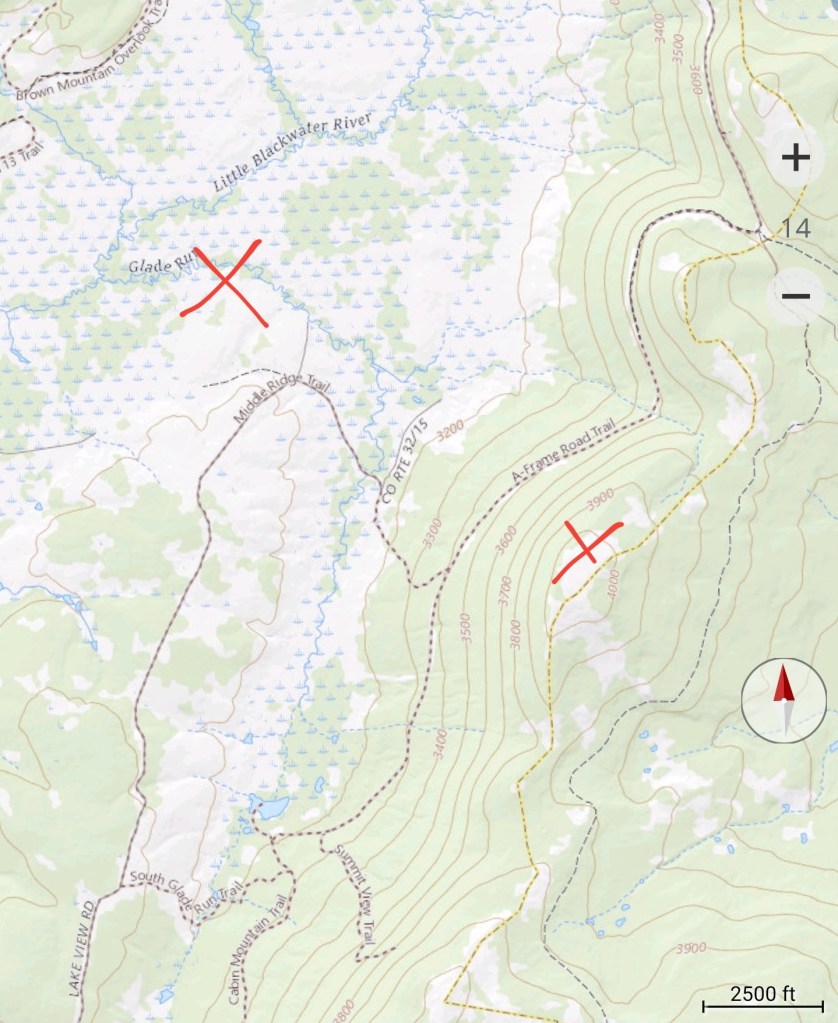
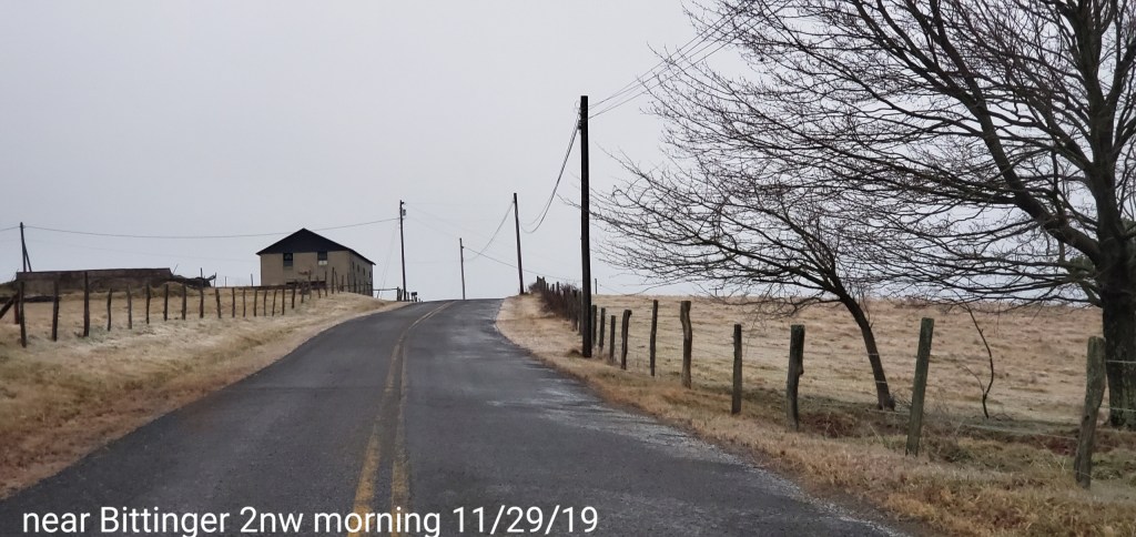
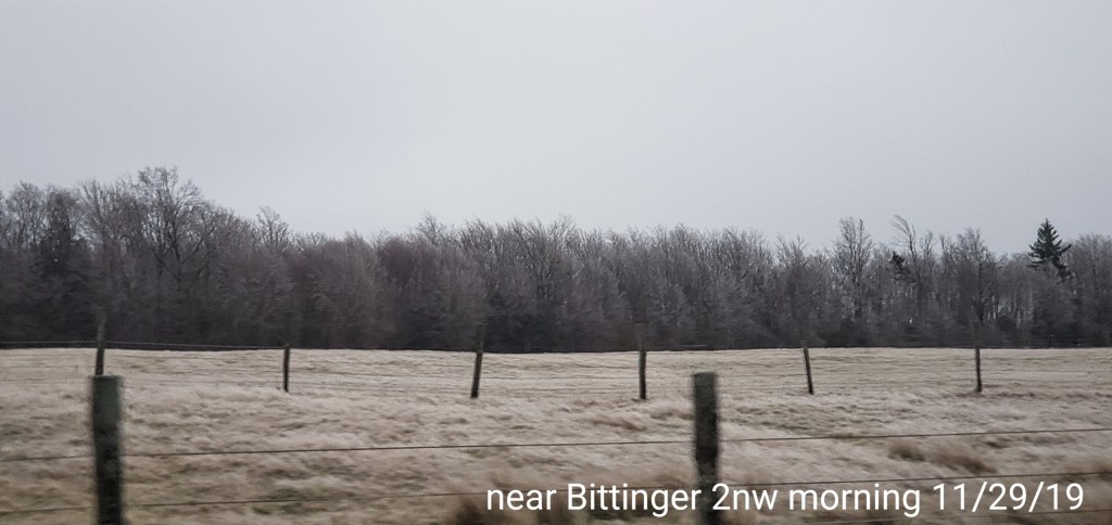
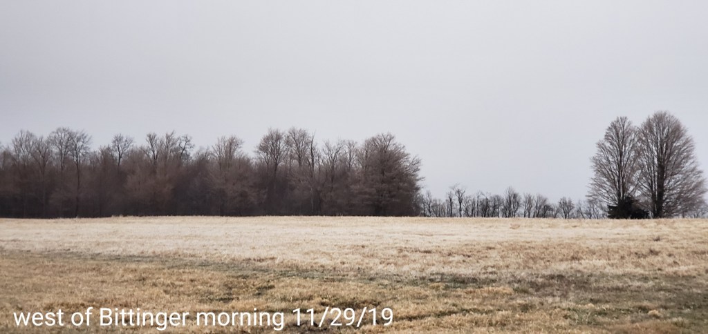
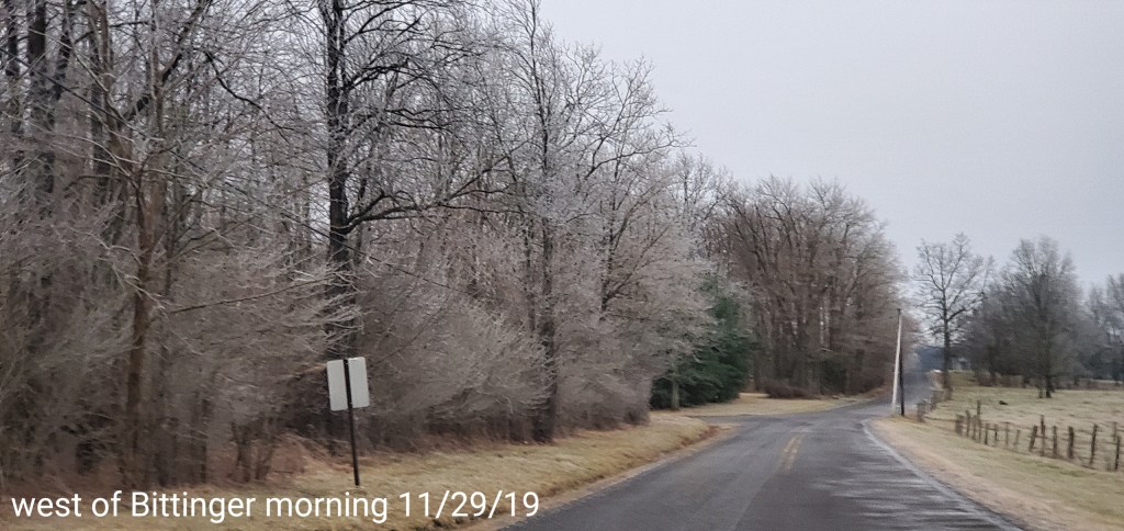
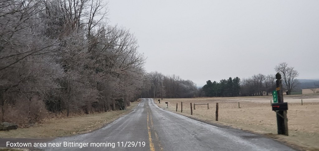
Pics today-
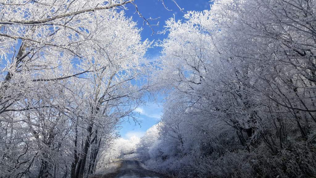
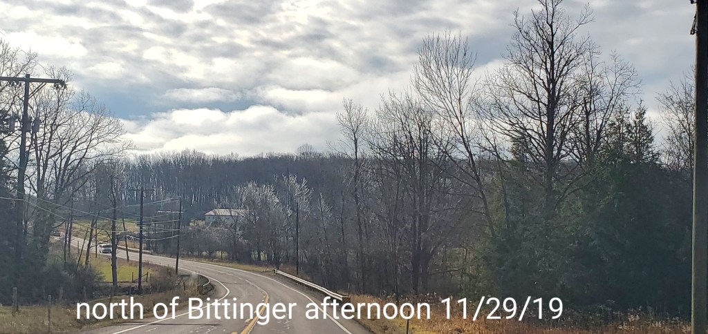
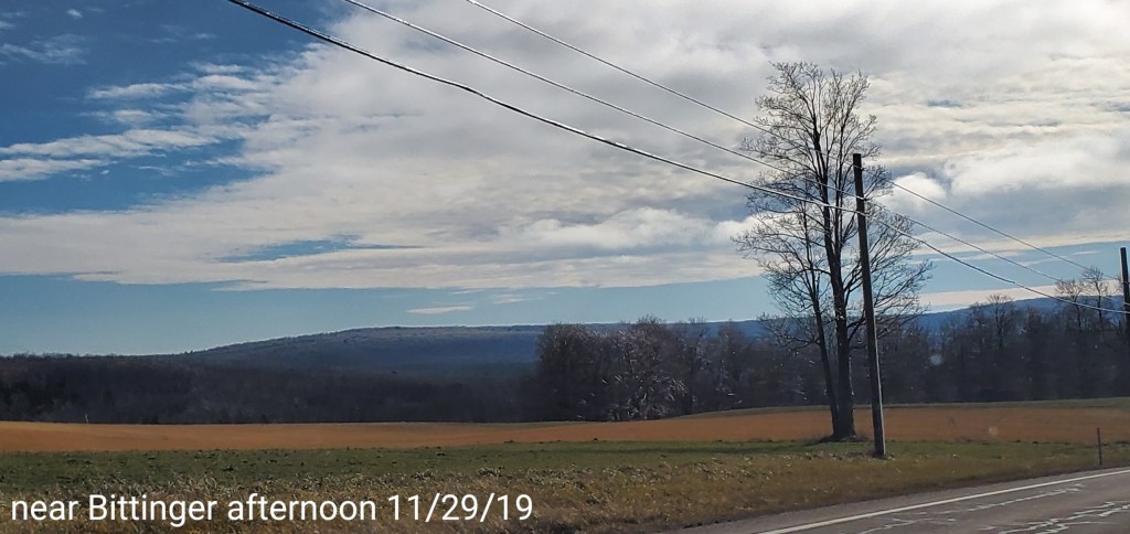
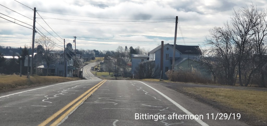
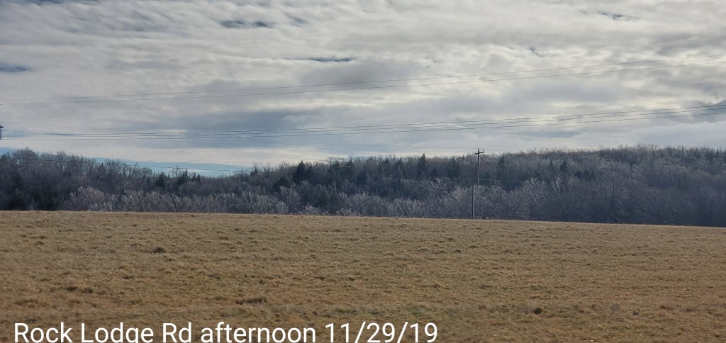
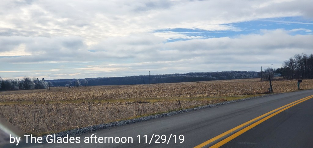
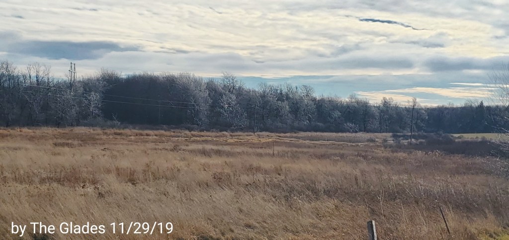
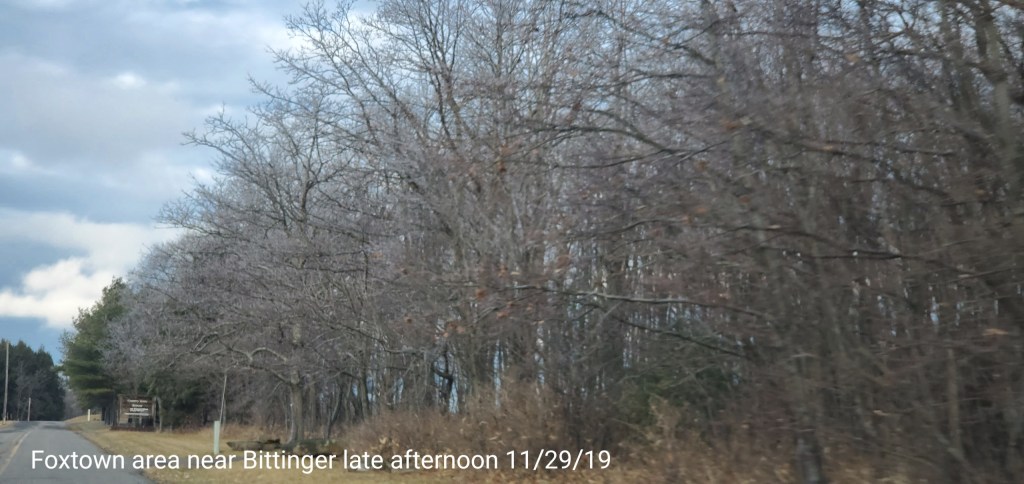
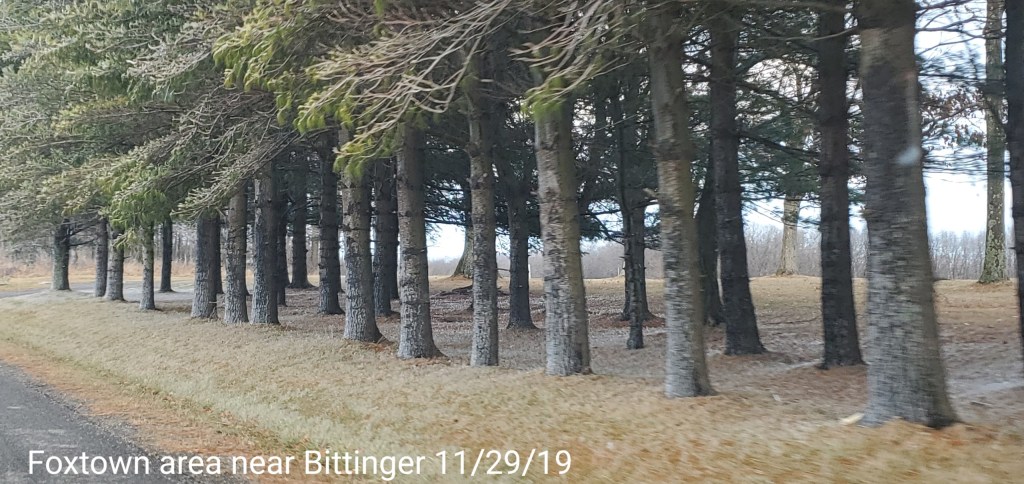
Bittinger area
Some ice remained on the trees the entire day.


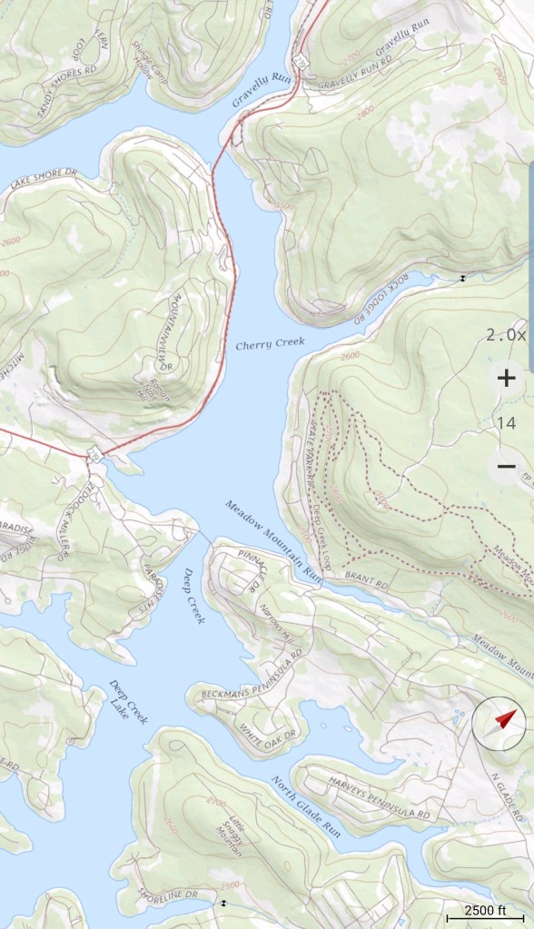
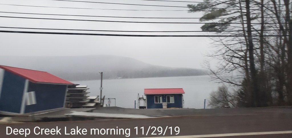
Deep Creek Lake and the McHenry area
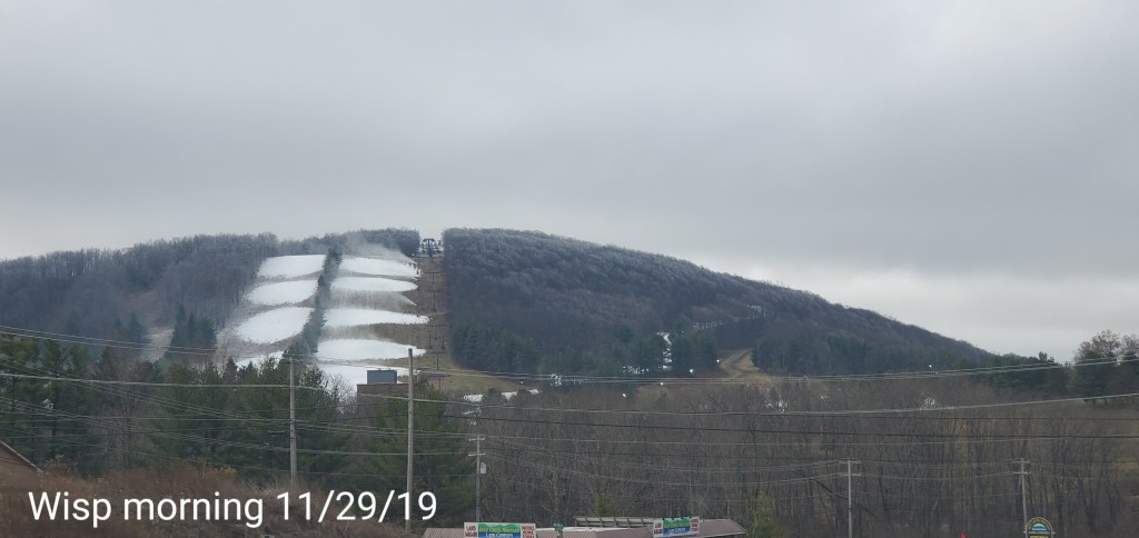
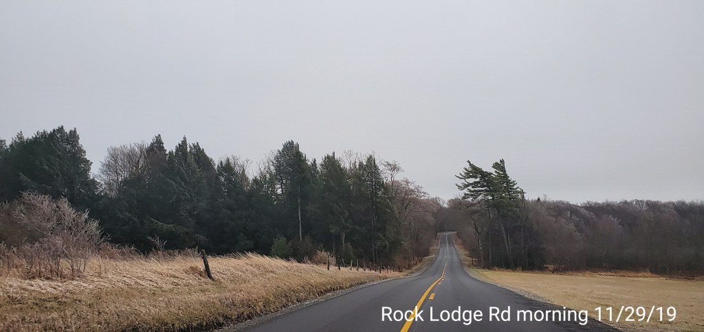
Early morning, post dawn, a very light snow occured along the south end of Rock Lodge Rd, and along the south end of Meadow Mt. The Wisp was making snow at the time and perhaps it was moisture from that.