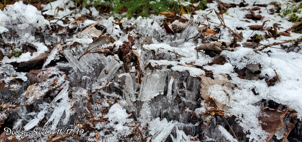
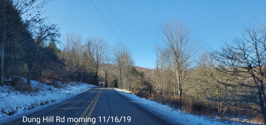
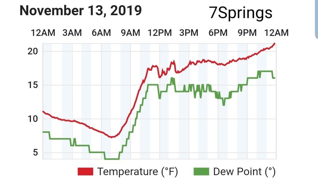
Mainly cloudy, some light precip after nightfall, some high Wv ground time, some localized light snow, localized patchy drizzle and pockets of freezing drizzle. The freezing line reached about 3000′ elevation, however some areas saw pockets of light fine snow with temps +32 and had a light dusting, while some areas saw temps under 32 with freezing drizzle. All extremely light.
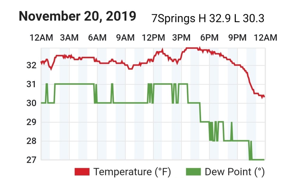
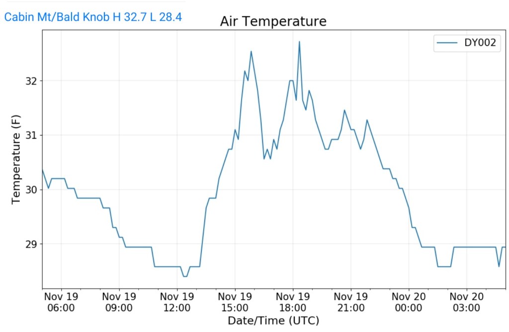
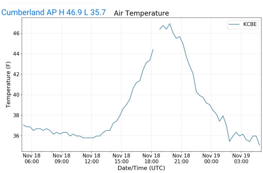
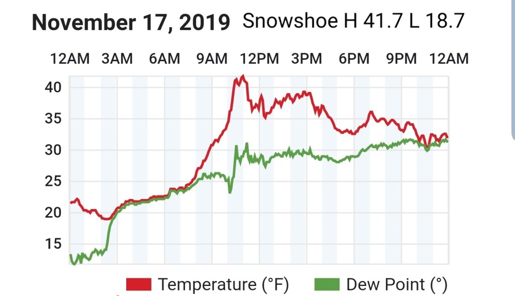
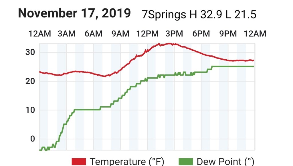
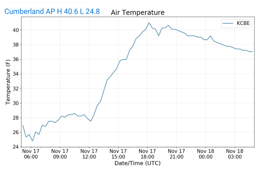
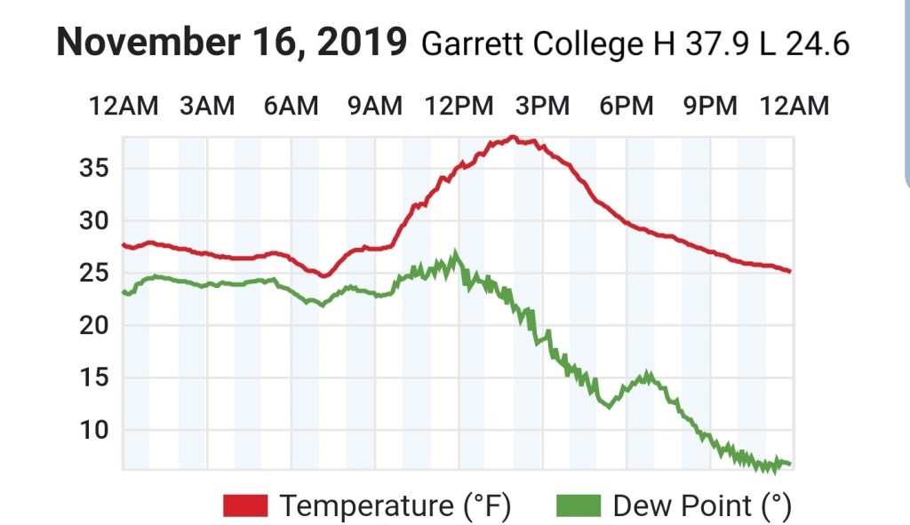
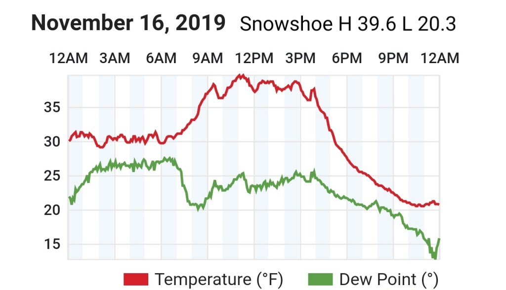
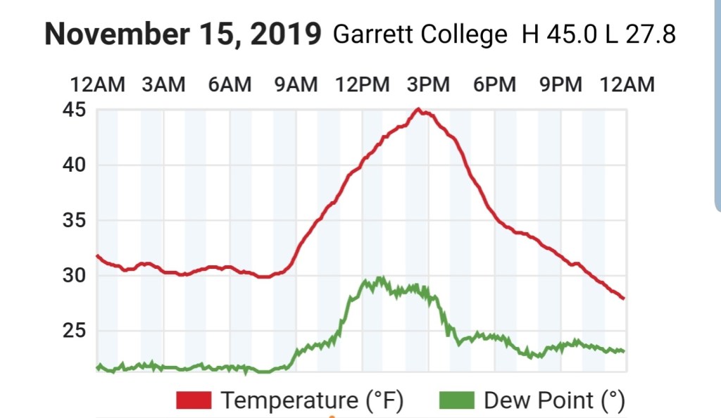
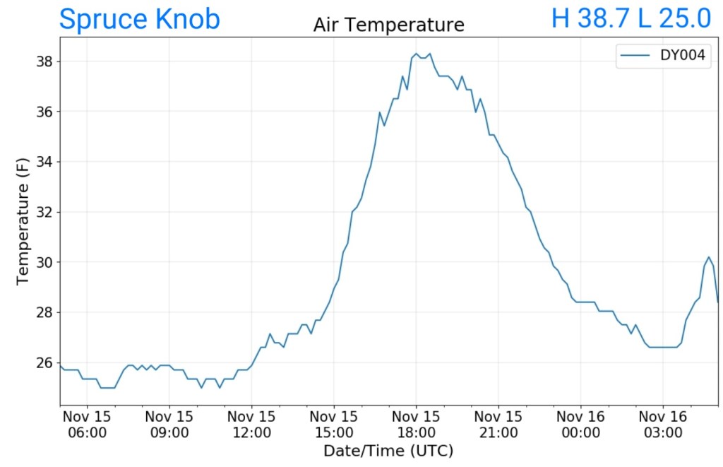
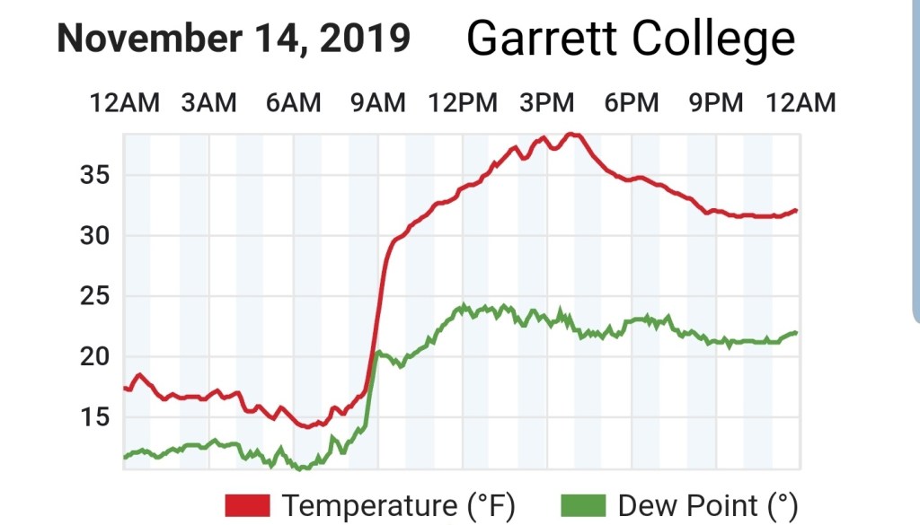
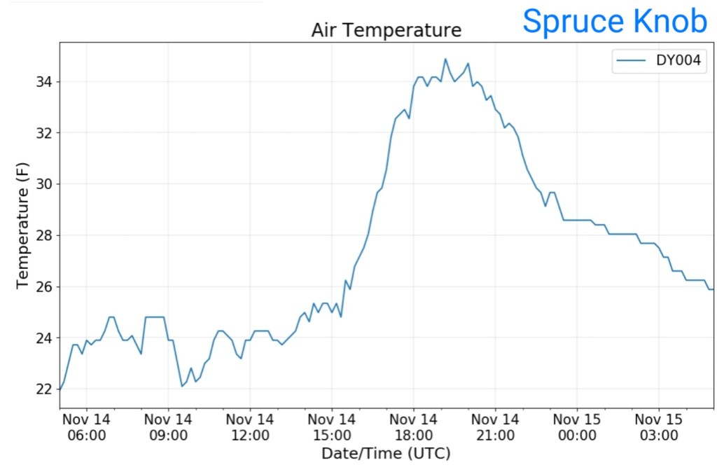
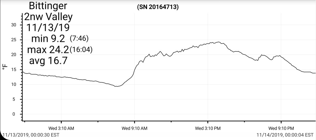
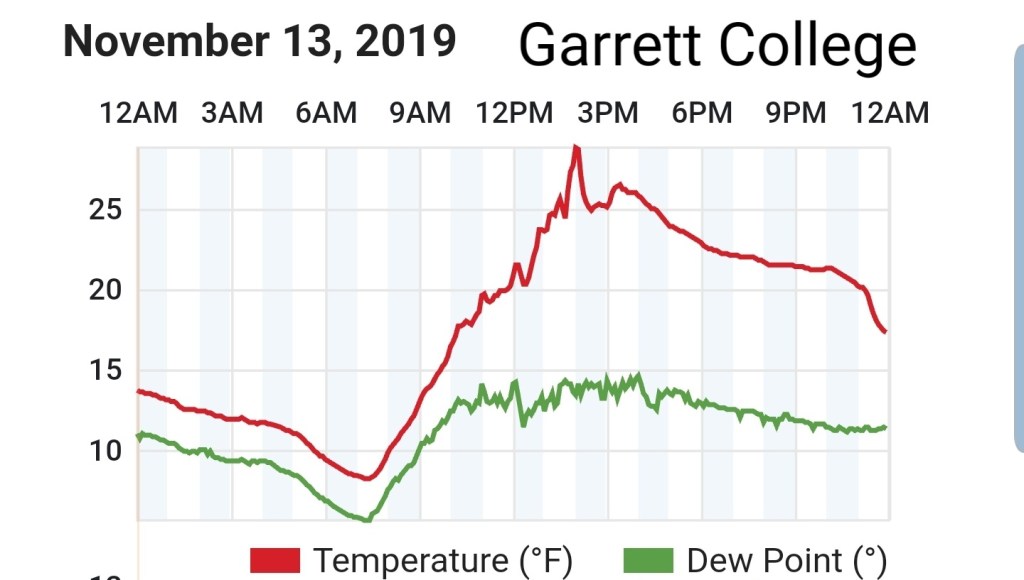
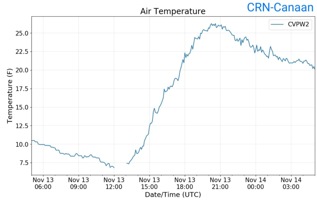
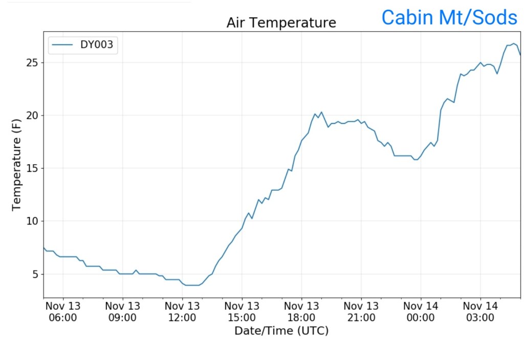
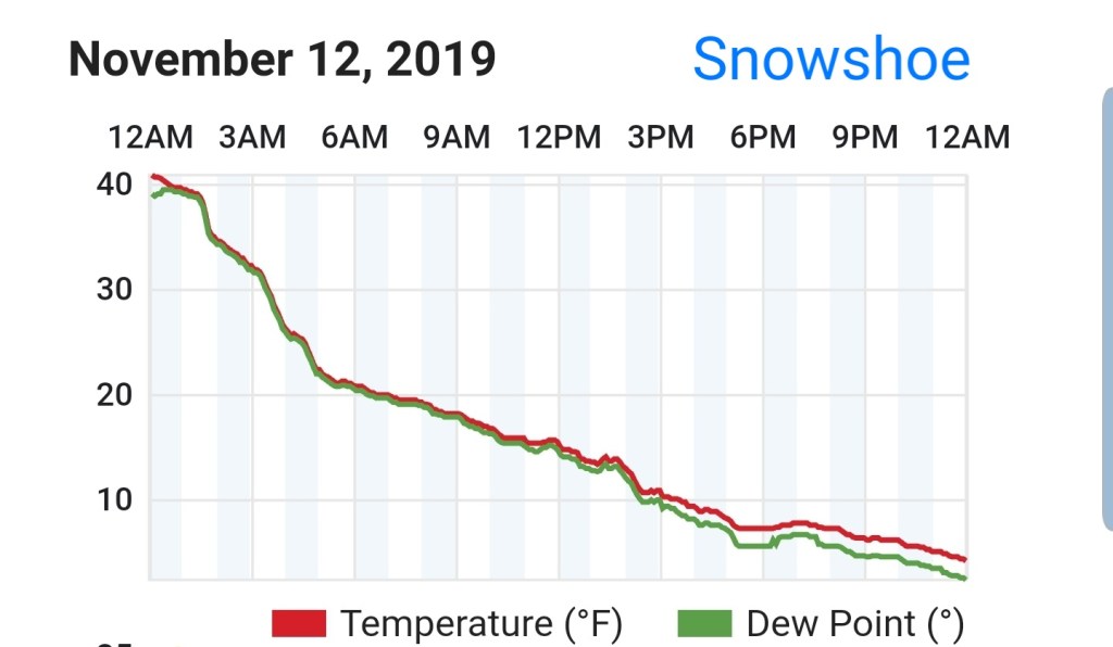
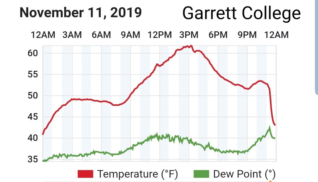
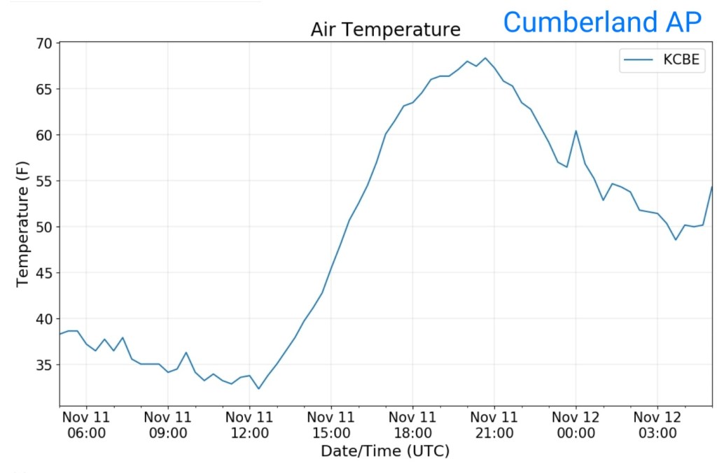
Temps today
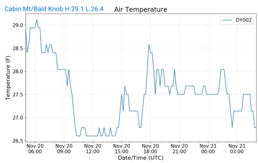
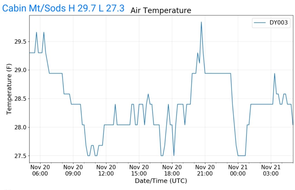
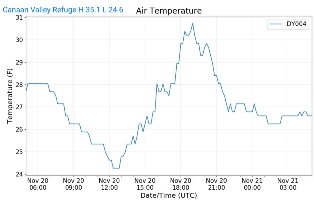
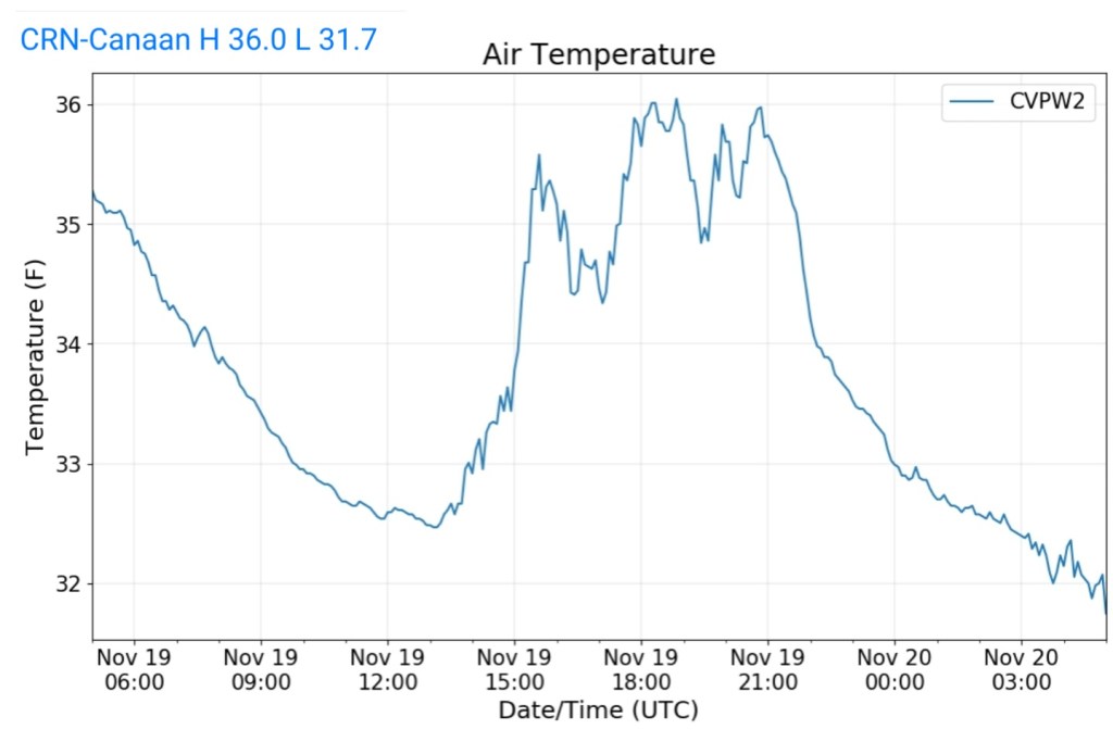
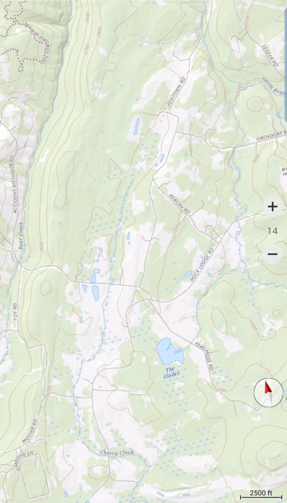
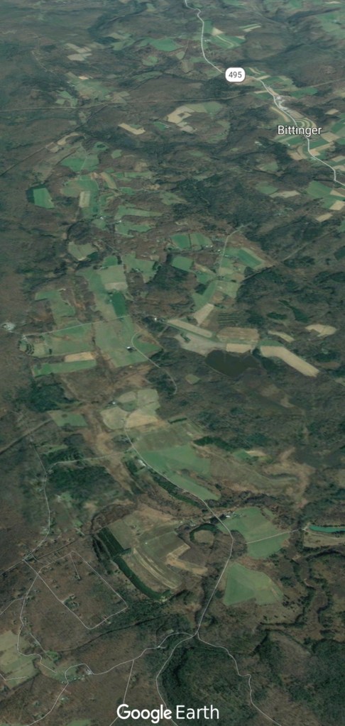
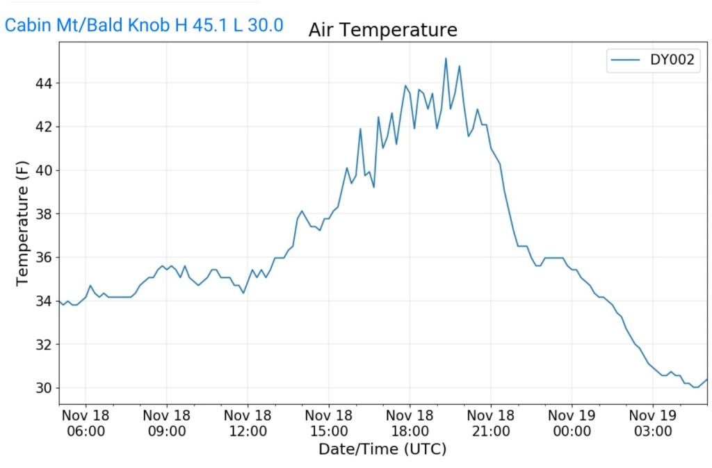
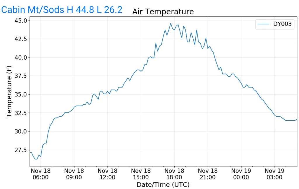
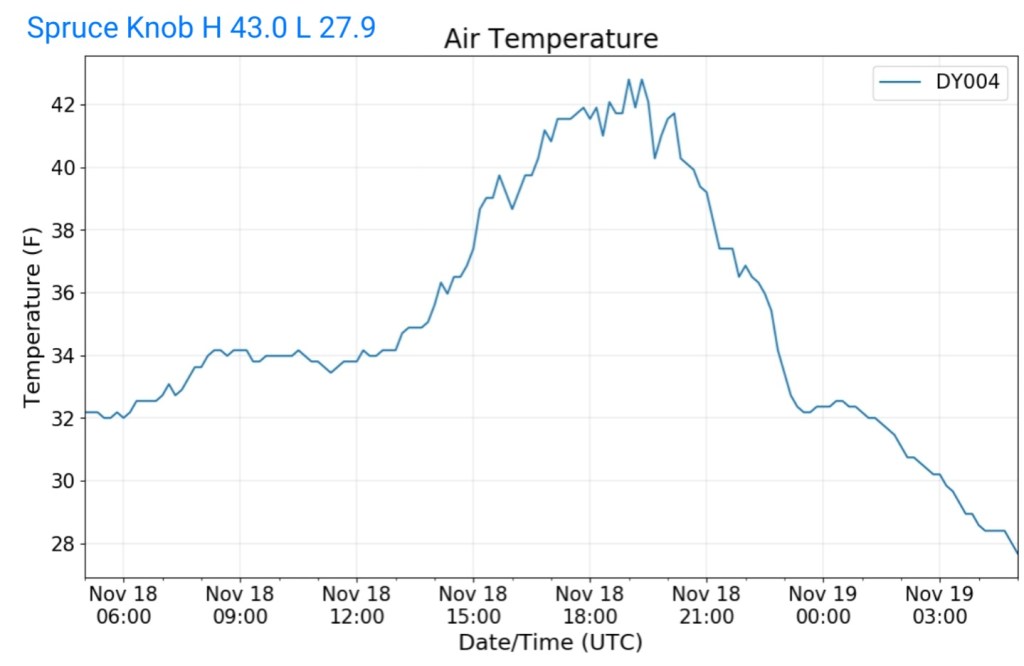
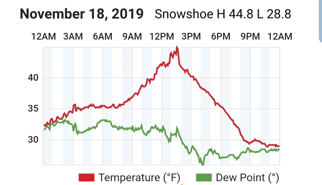
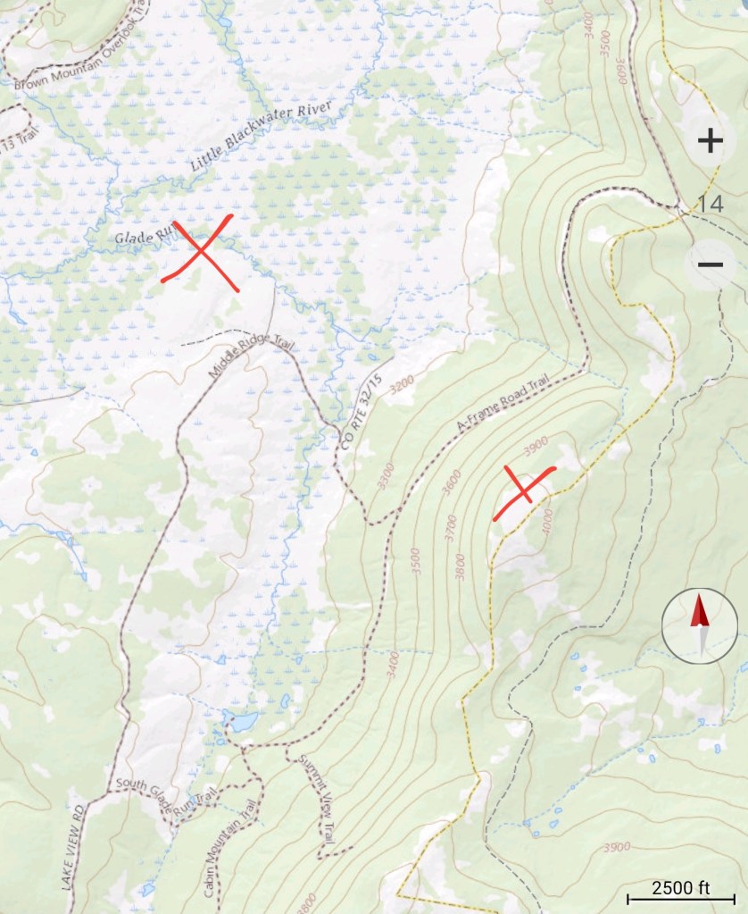
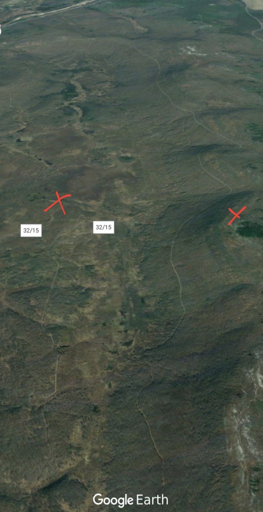
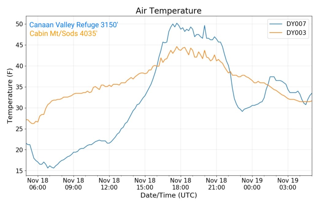
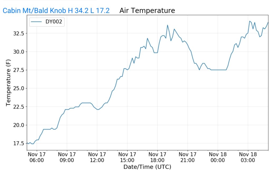
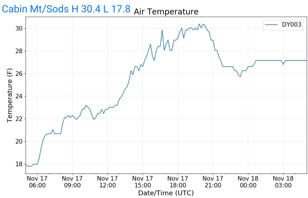
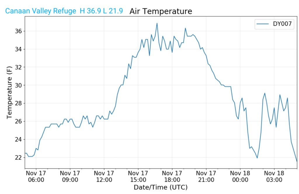
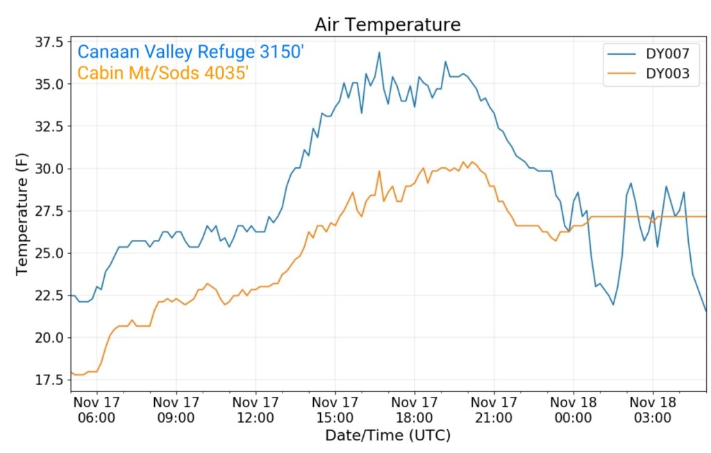
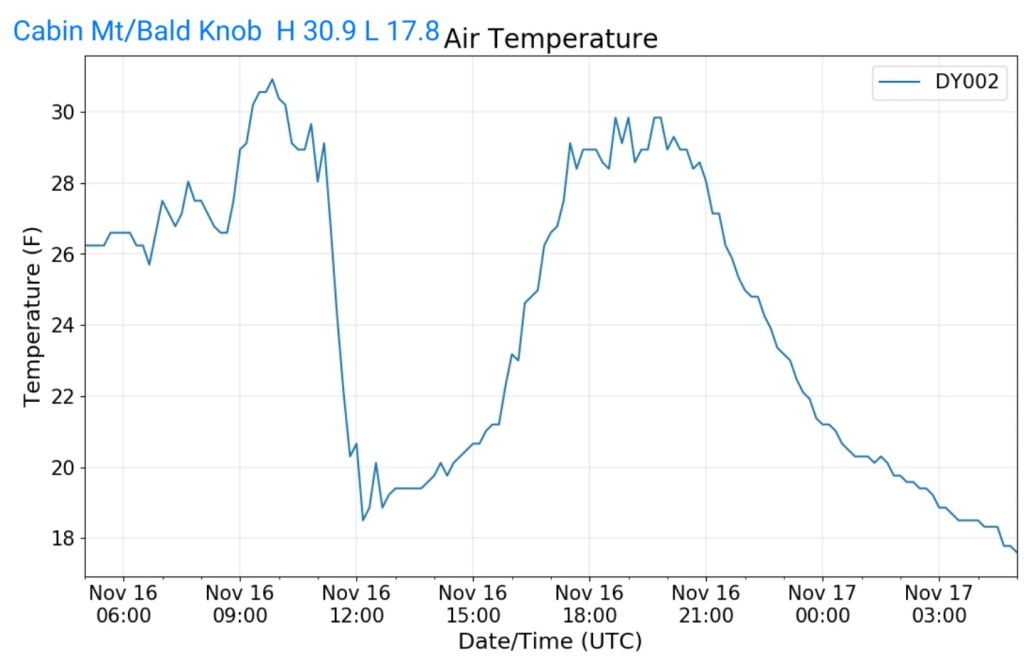
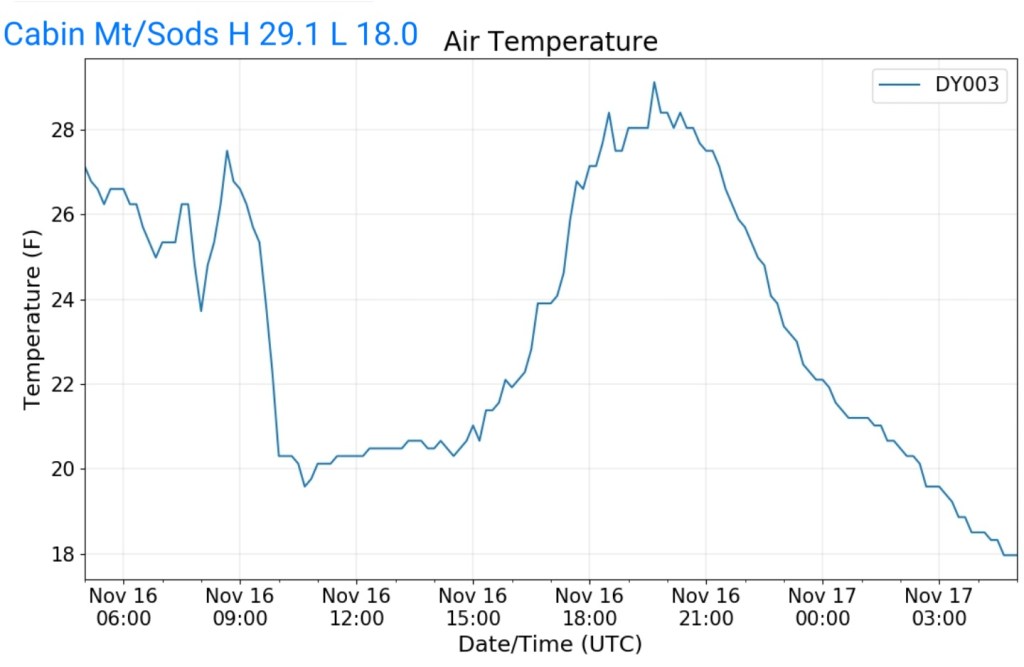
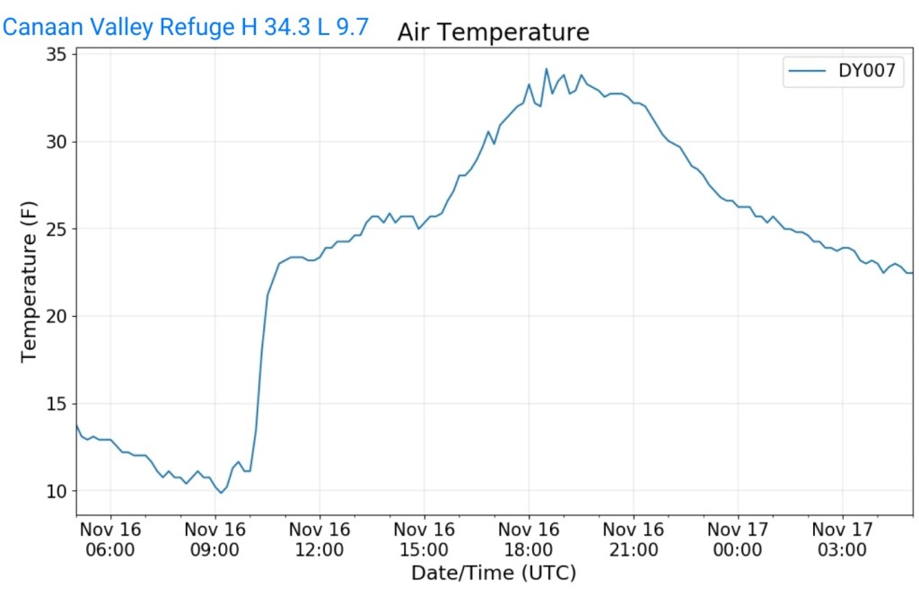
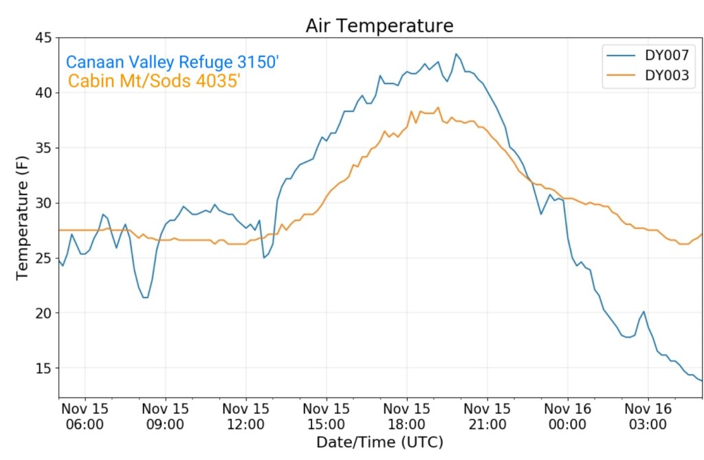
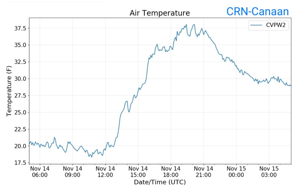
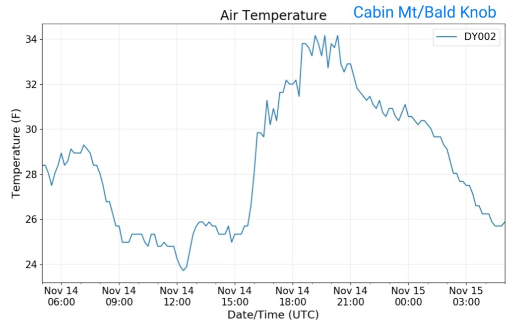
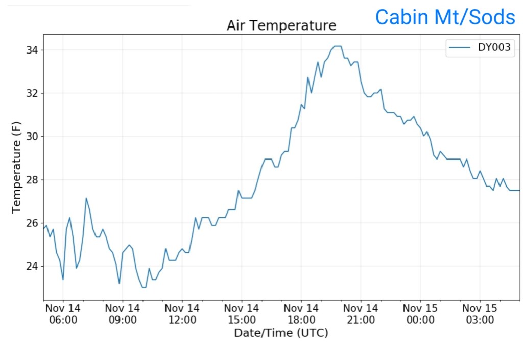
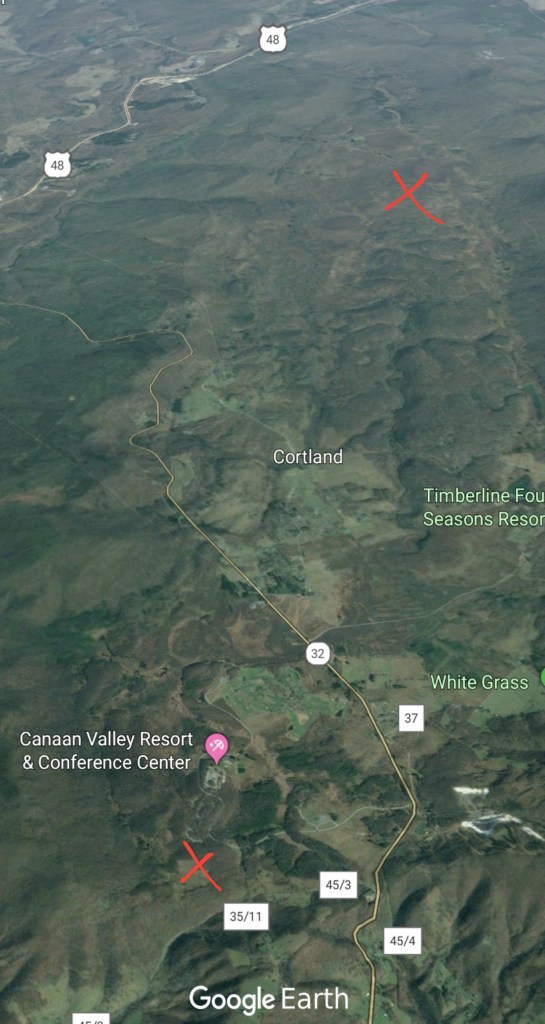
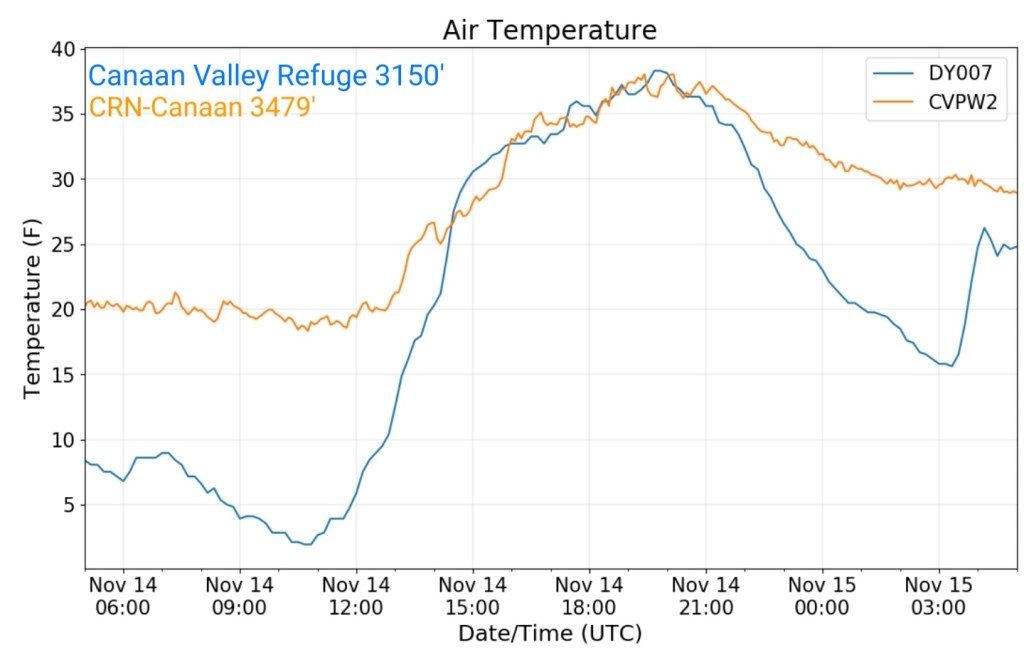
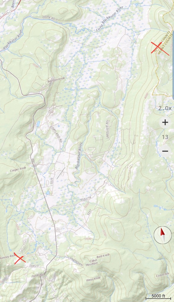
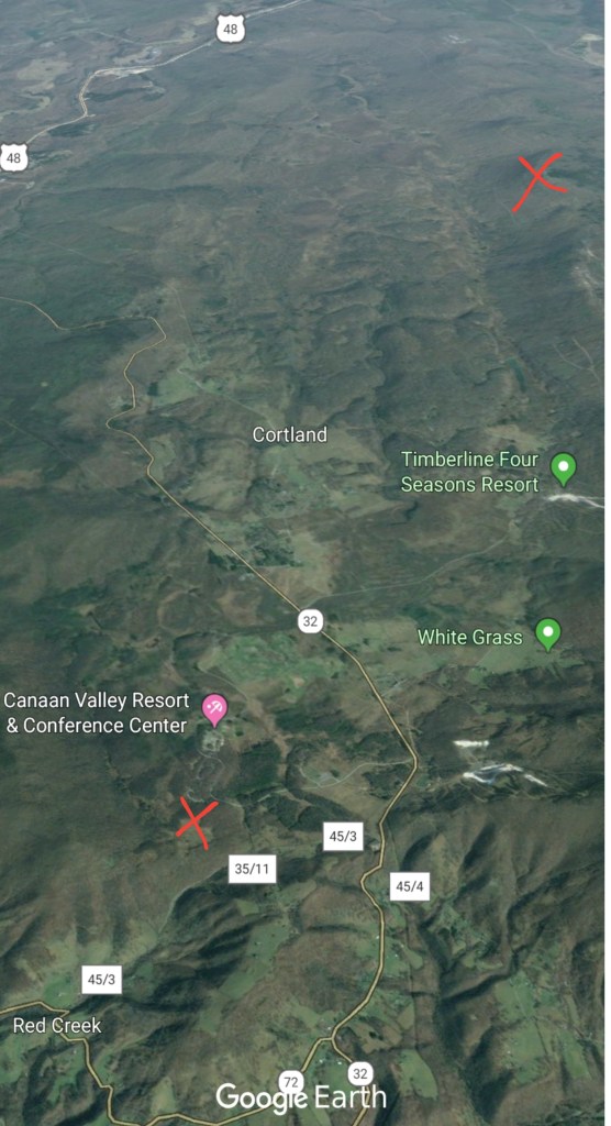
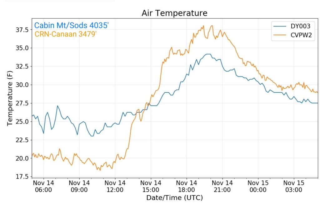
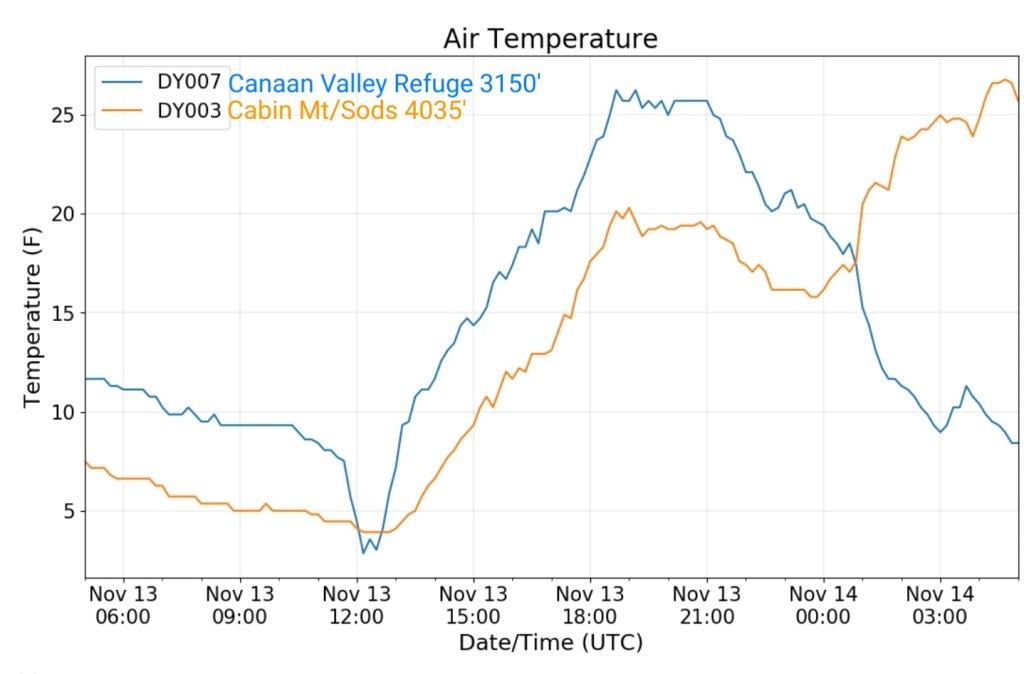
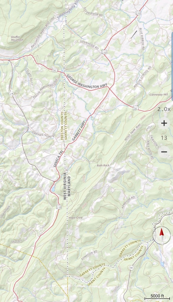
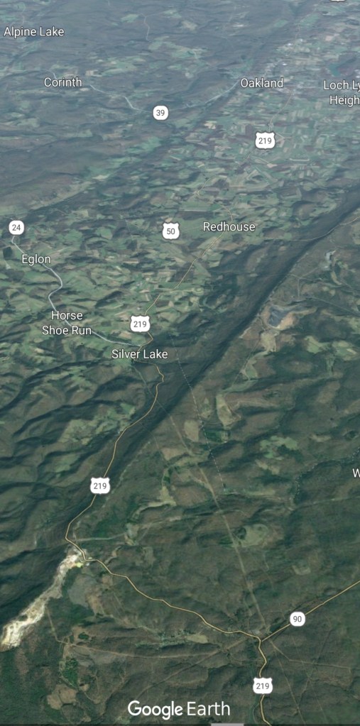
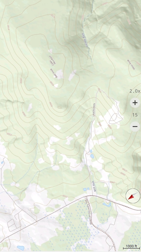
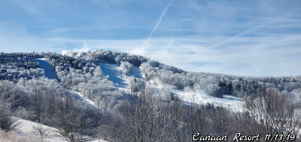
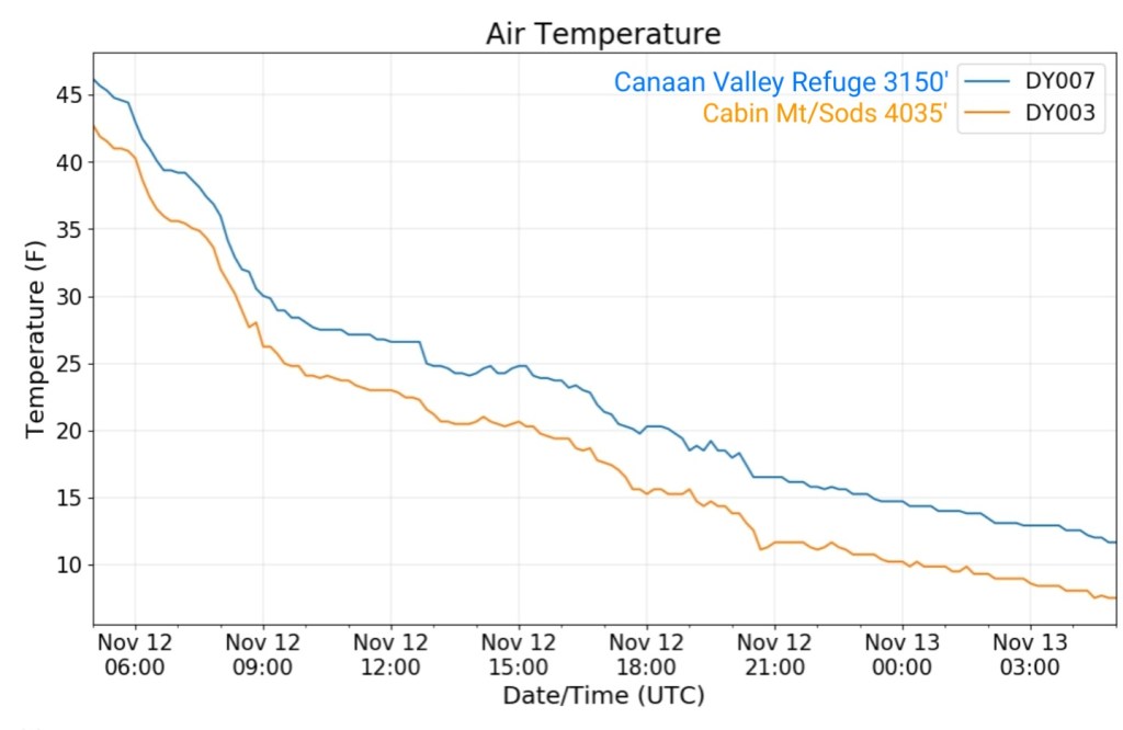
The Valley vs Cabin Mt
Radar
Satellite
Flow
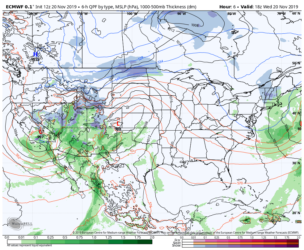
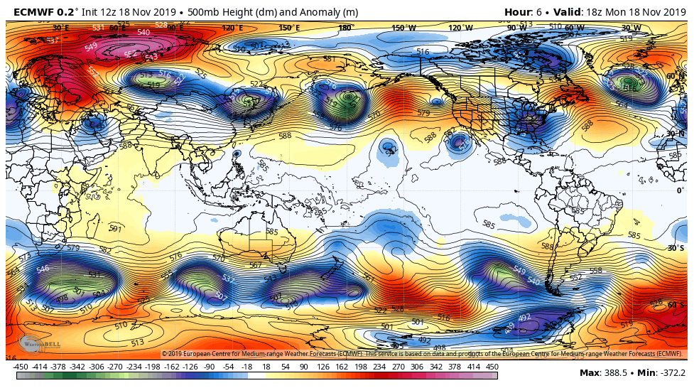
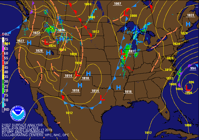
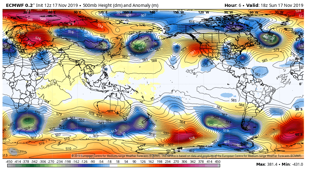
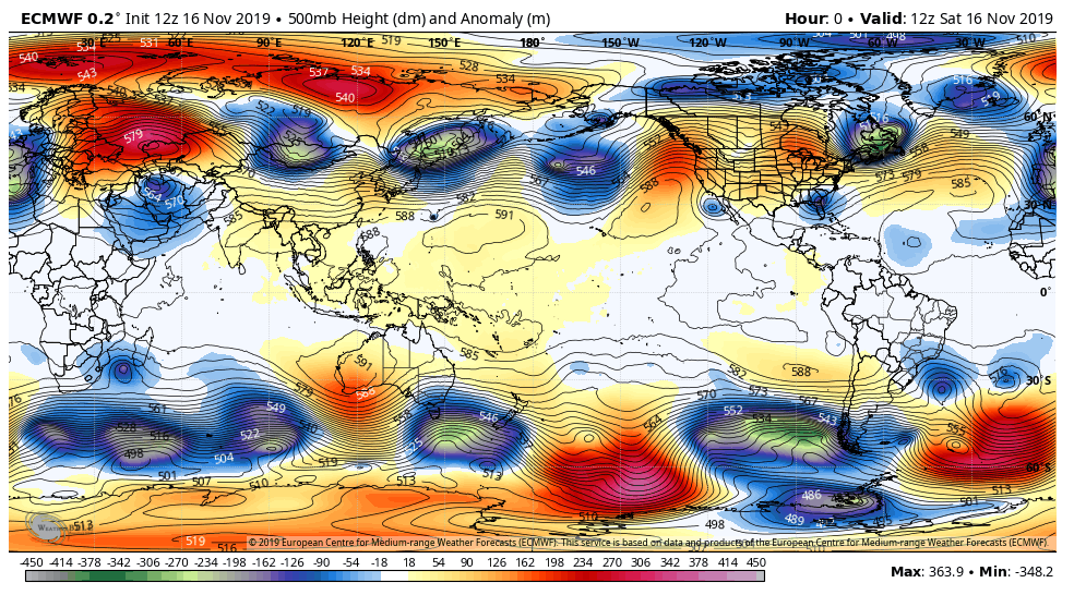
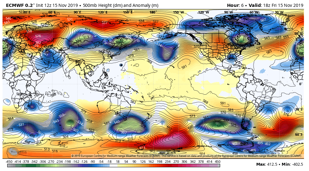
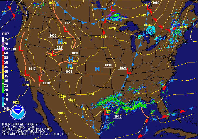
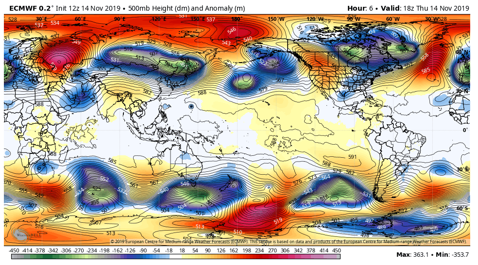
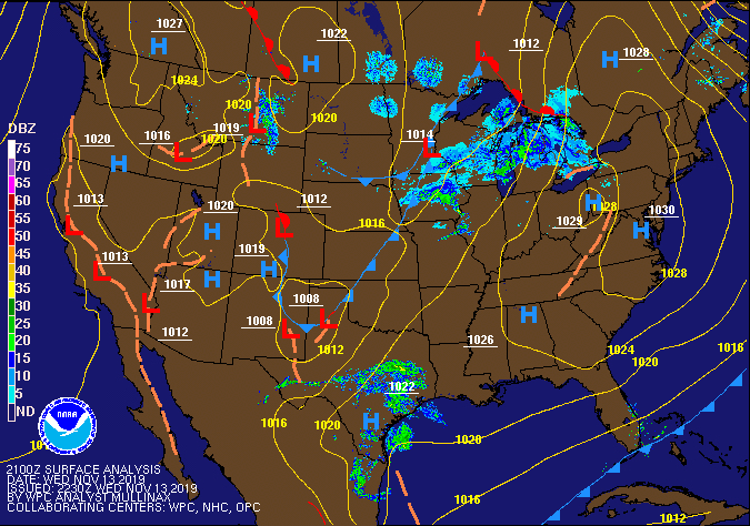
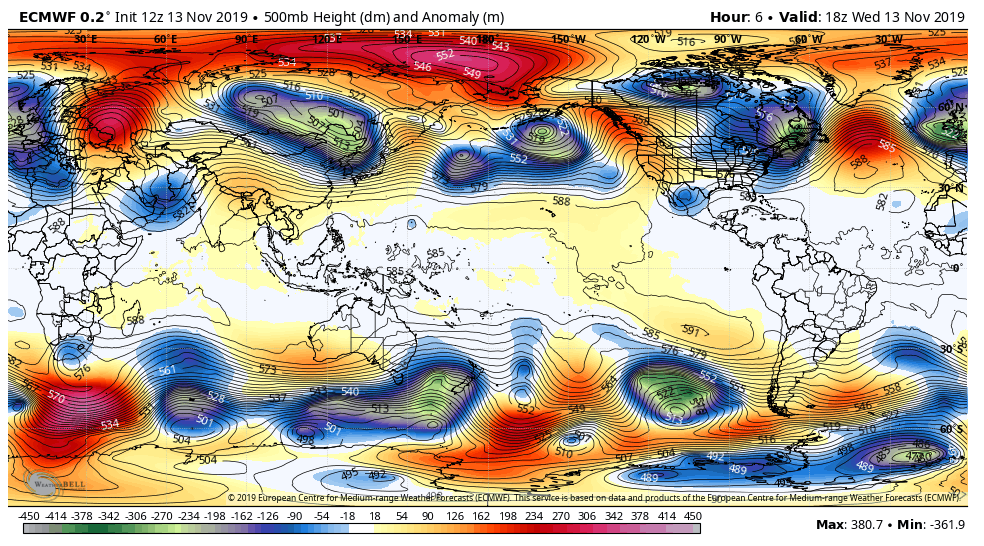
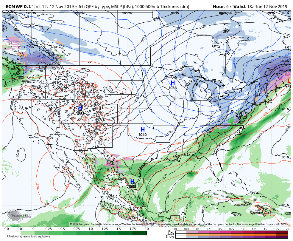
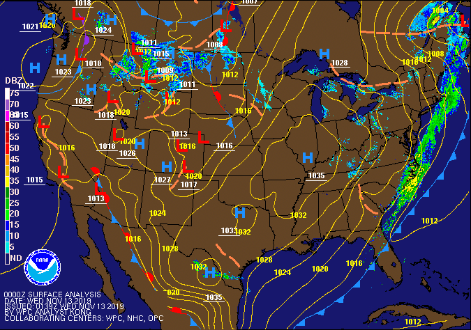
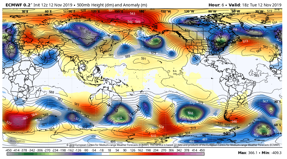
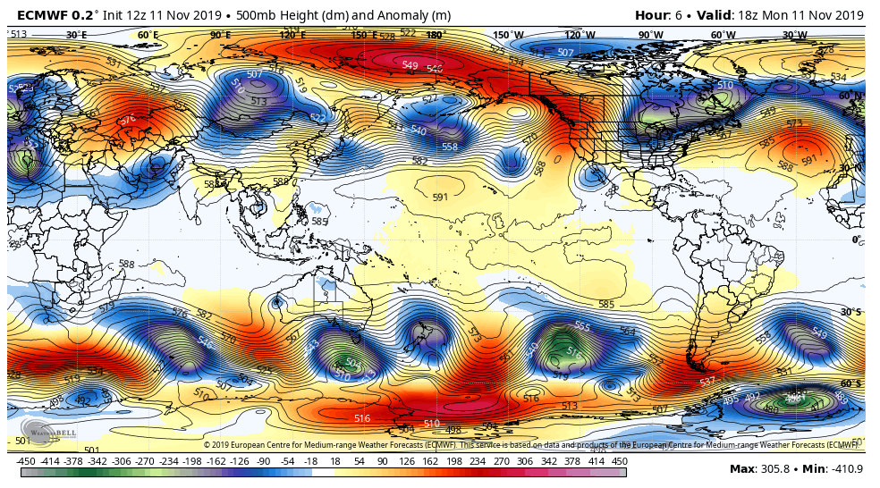
Surface features and 500mb height anomalies and flow
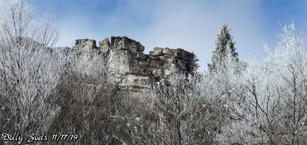
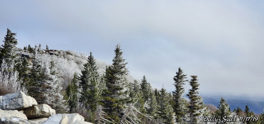
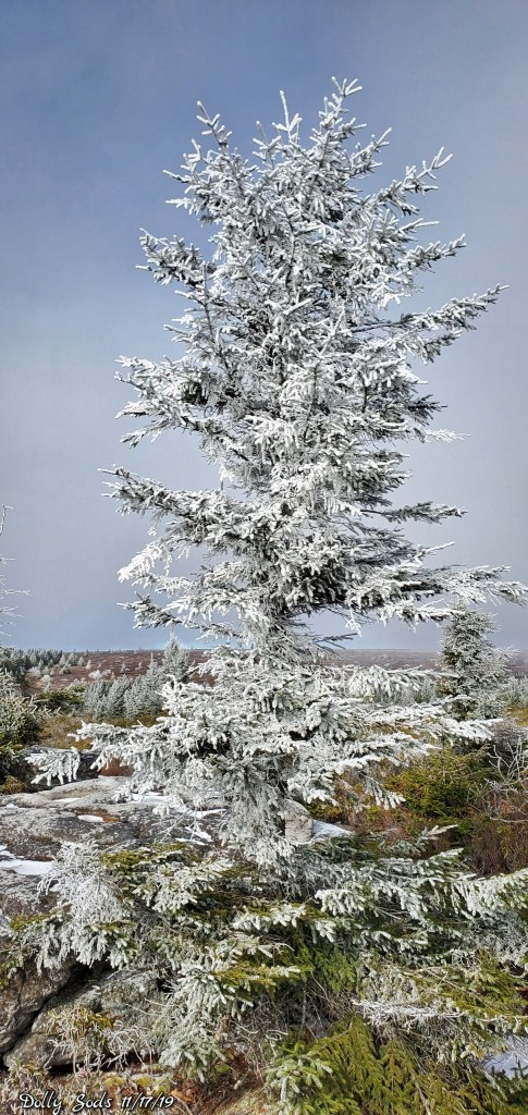
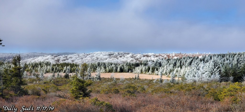
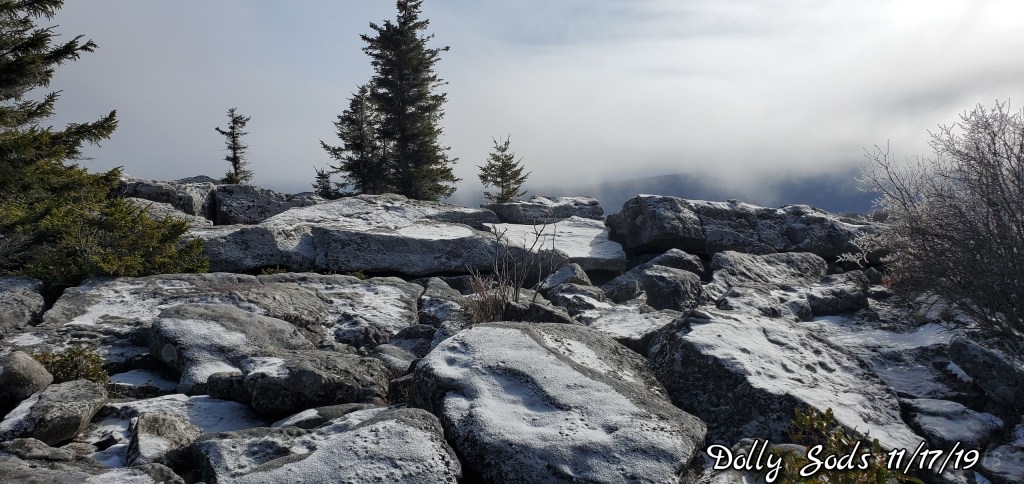
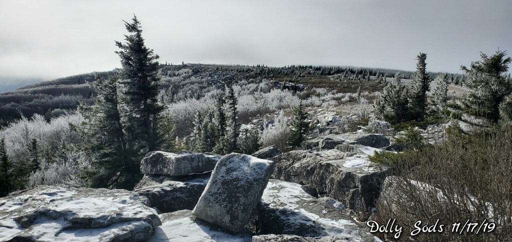
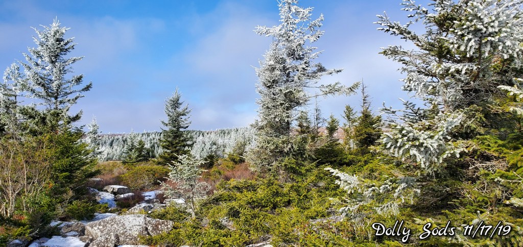
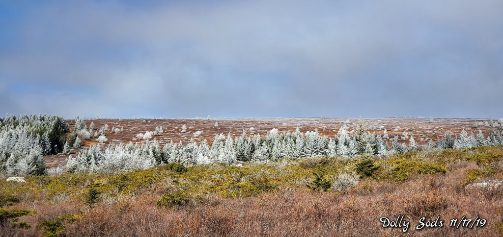
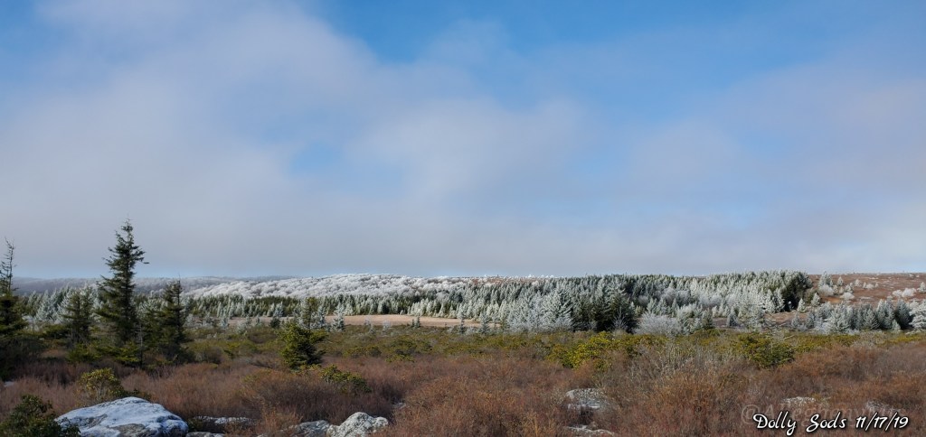
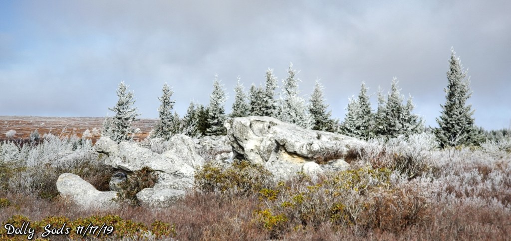
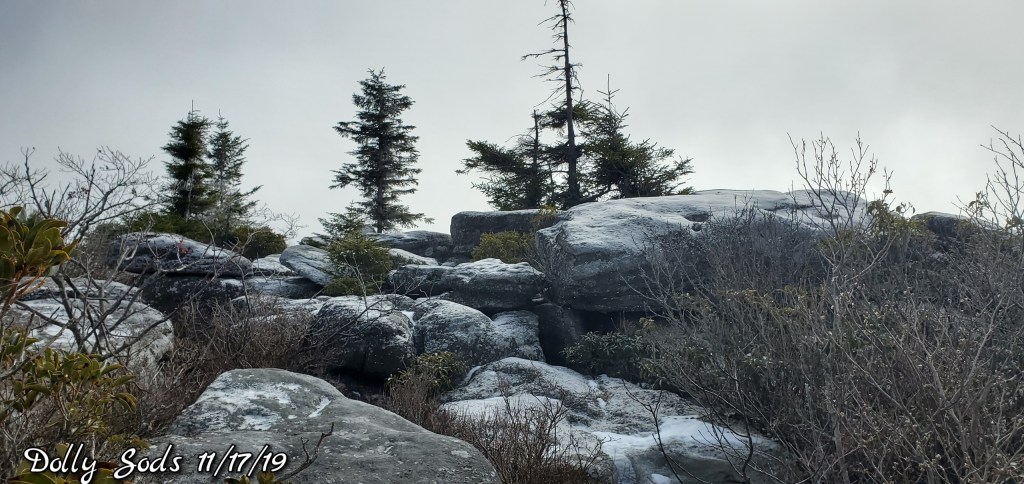
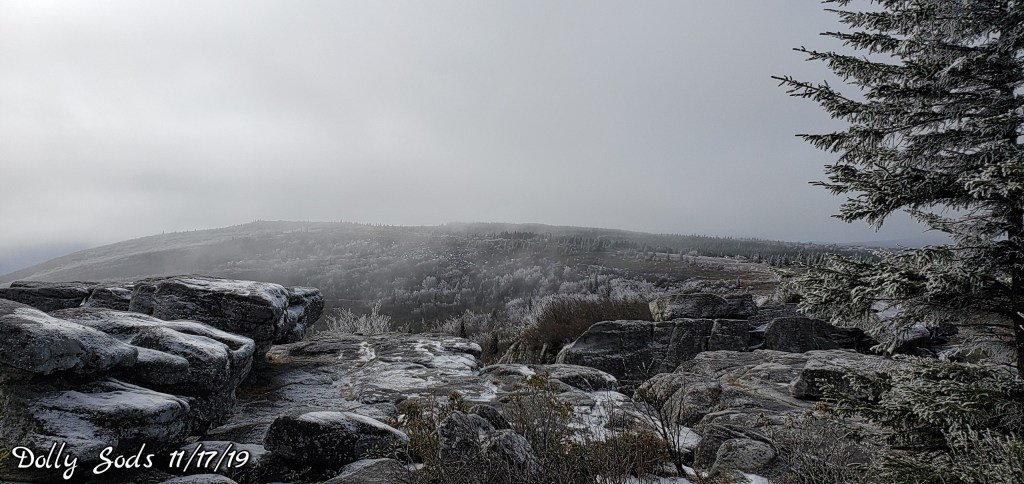
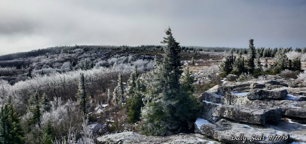
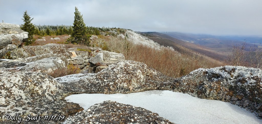
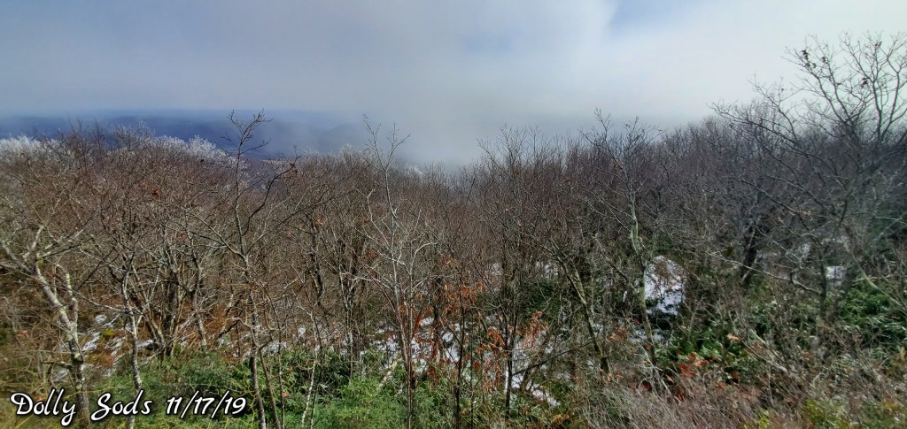
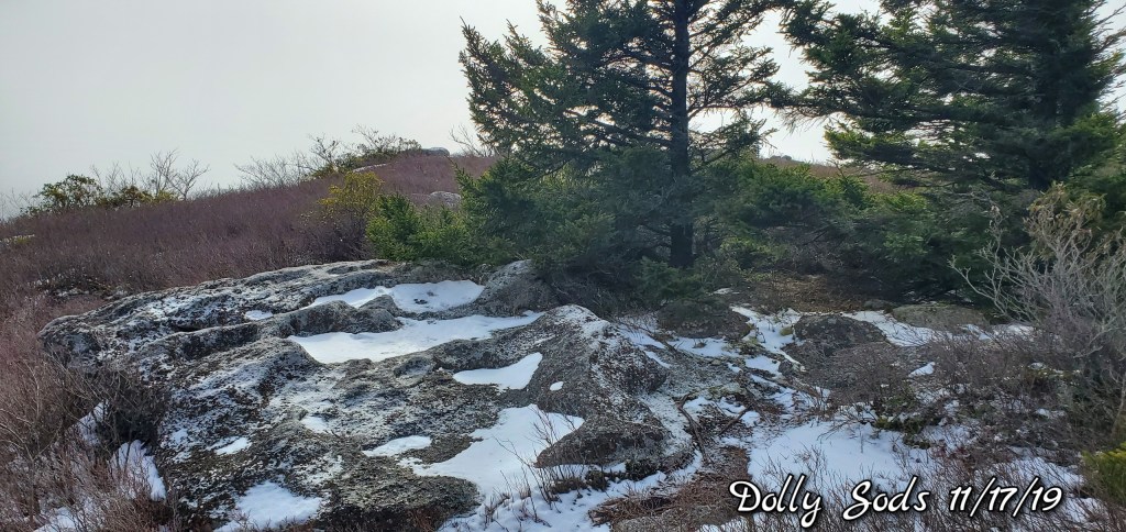
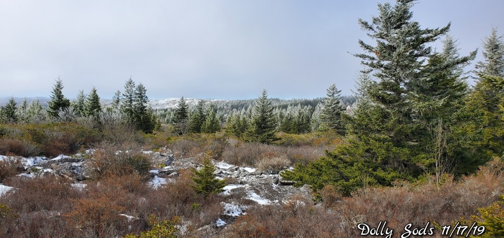
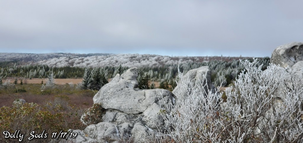
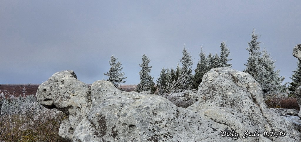
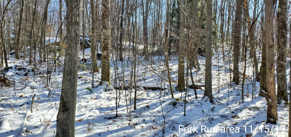
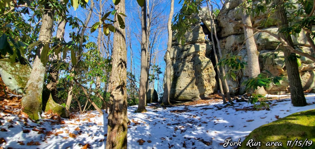
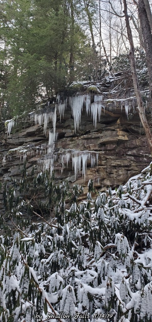
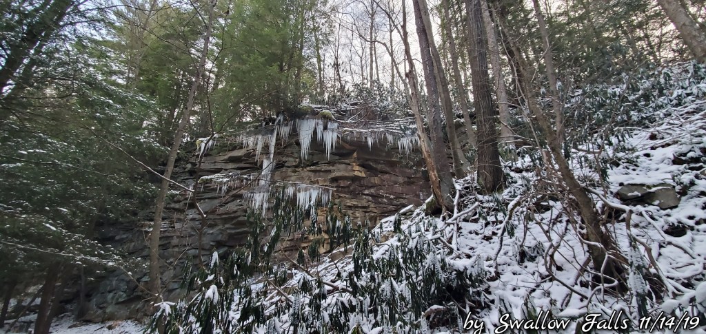
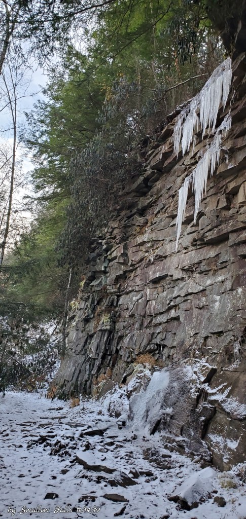
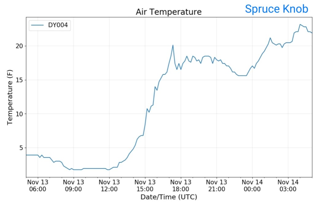
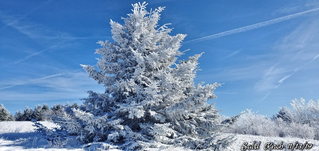
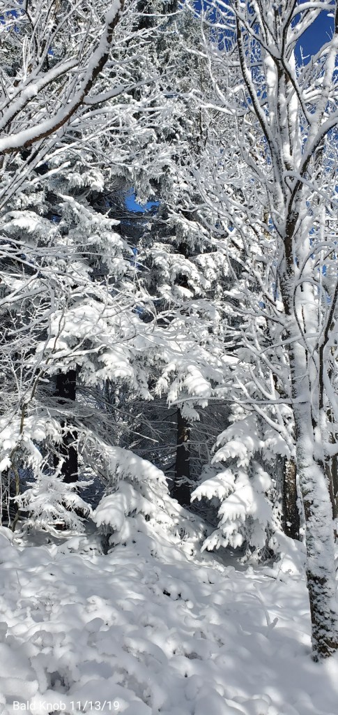
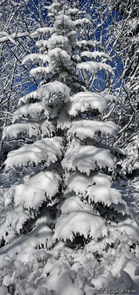
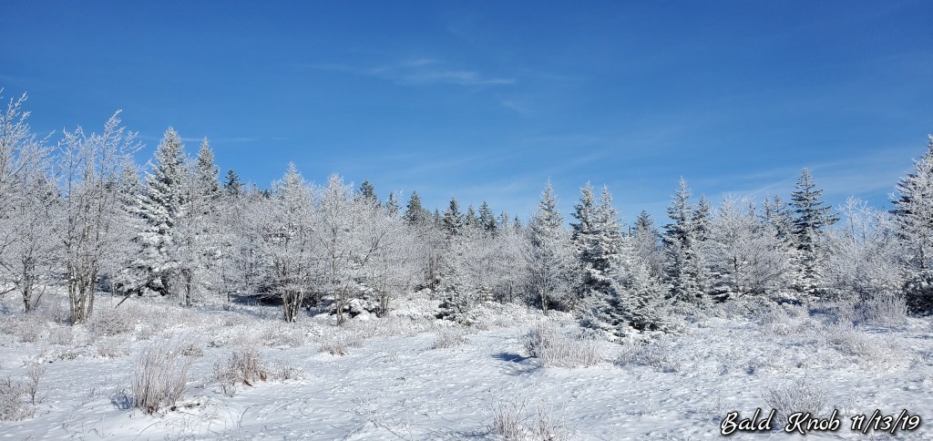
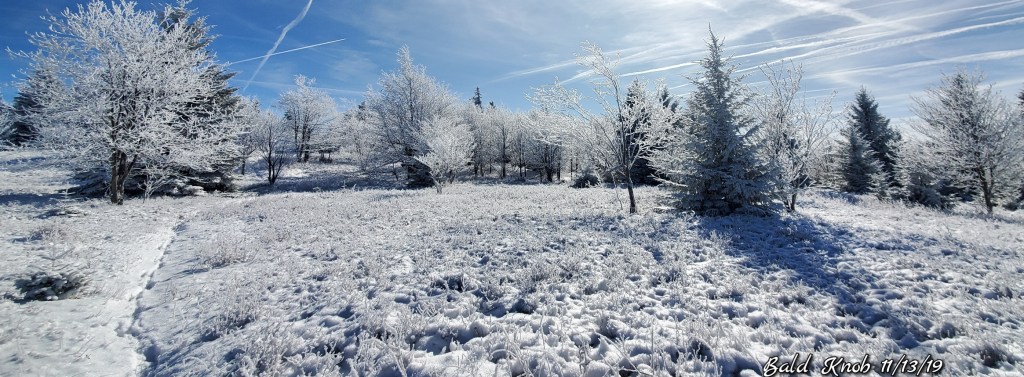
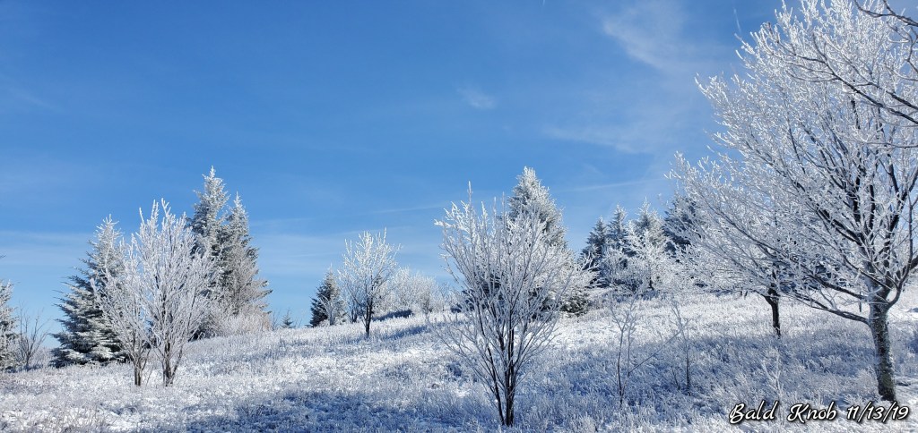
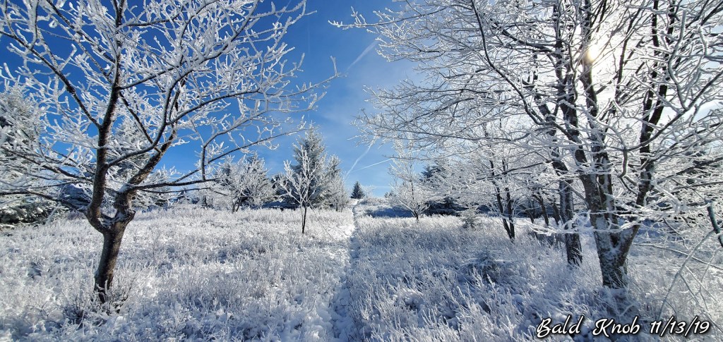
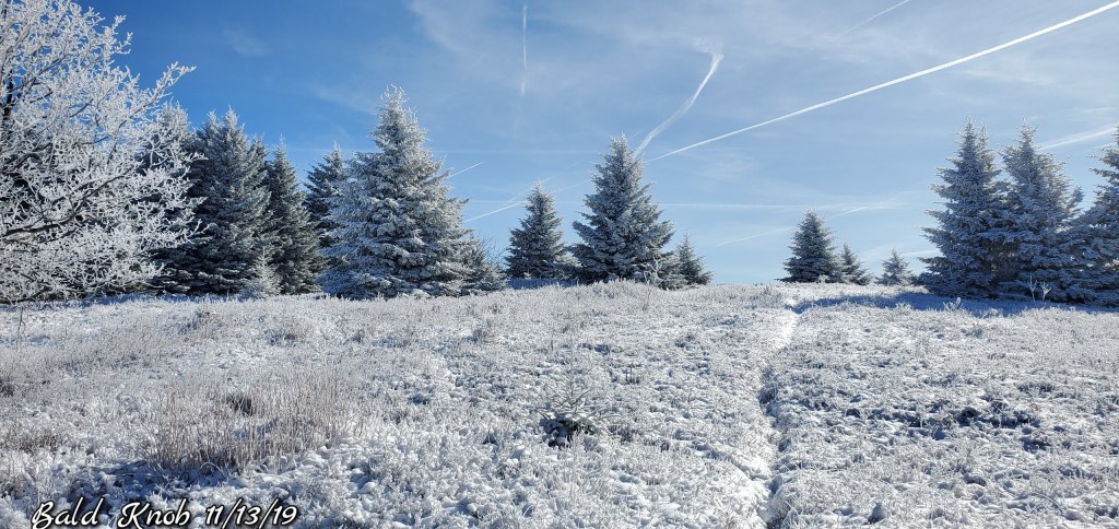
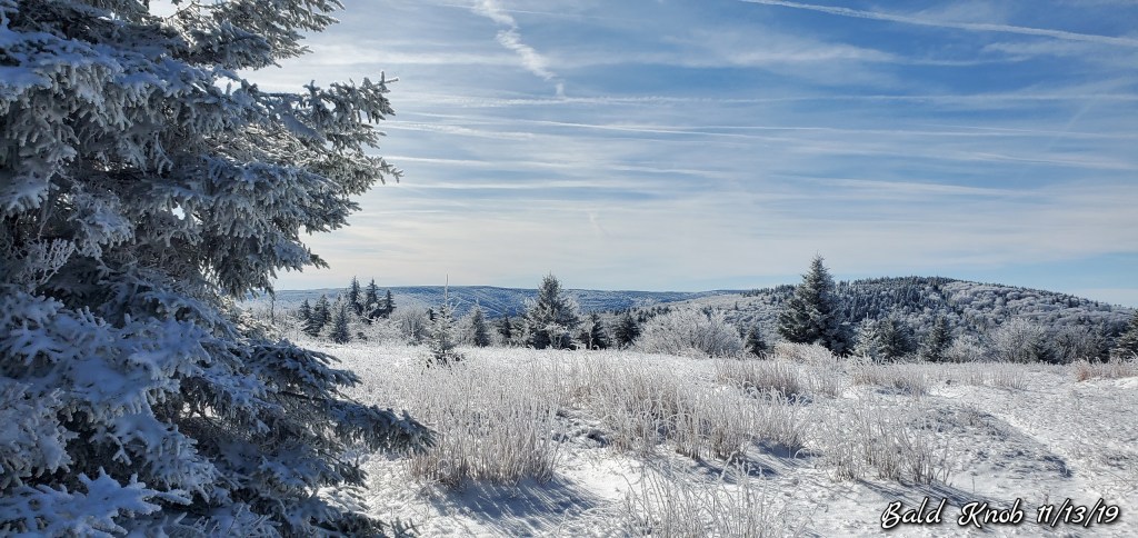
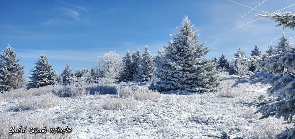
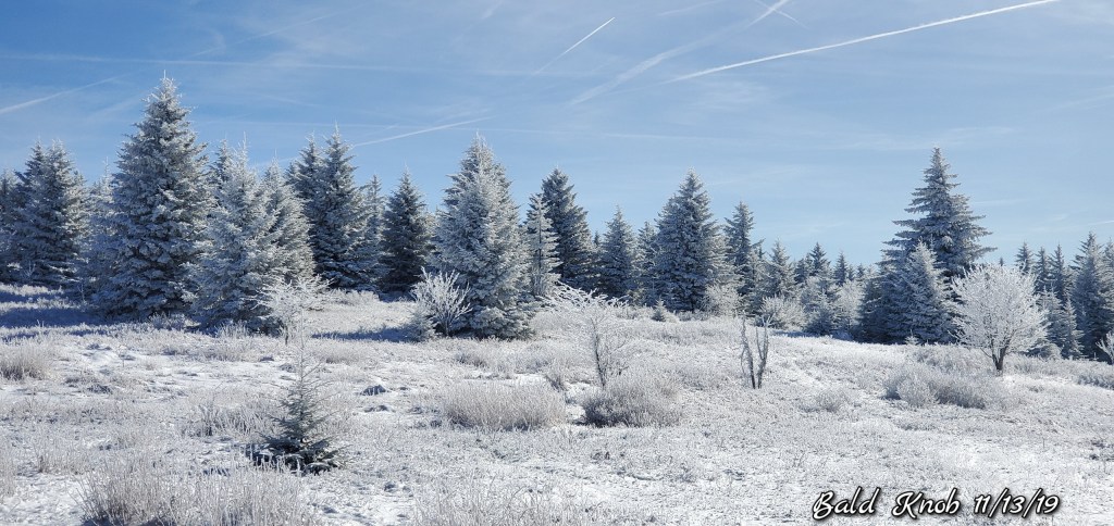
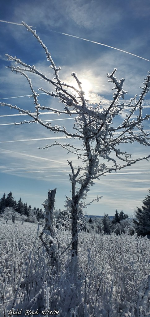
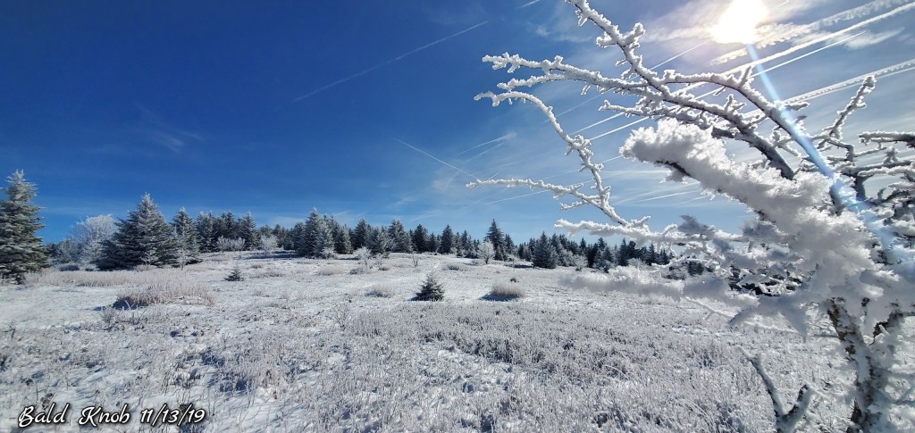
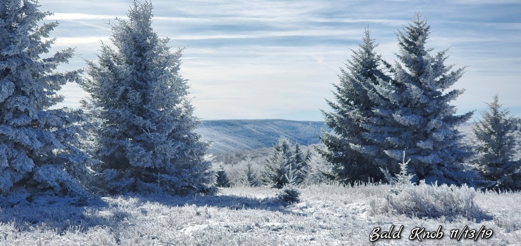
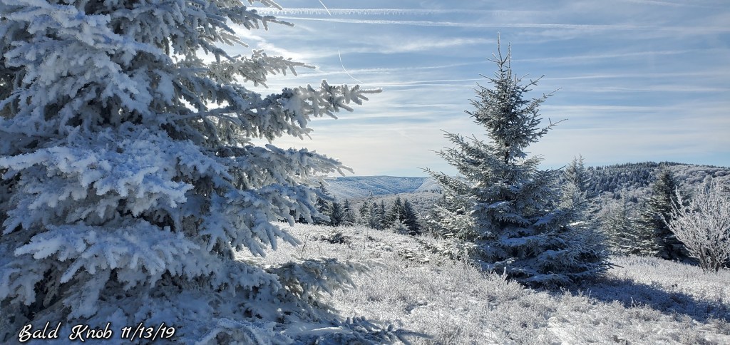
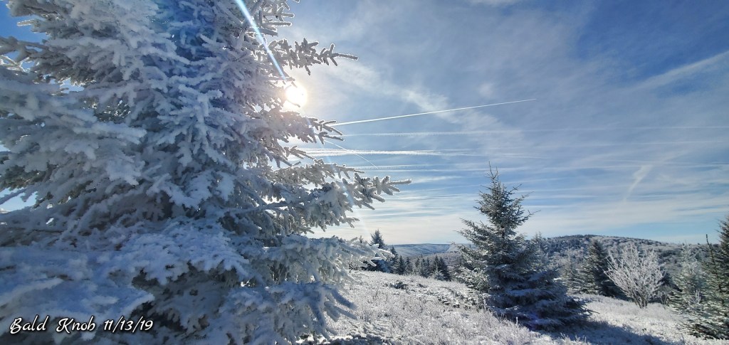
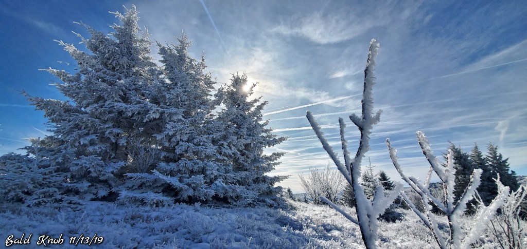
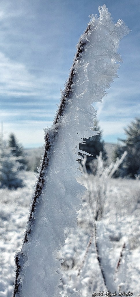
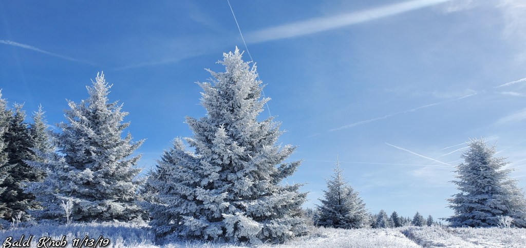
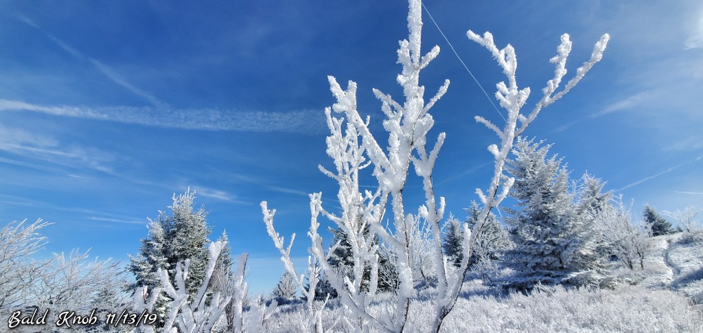
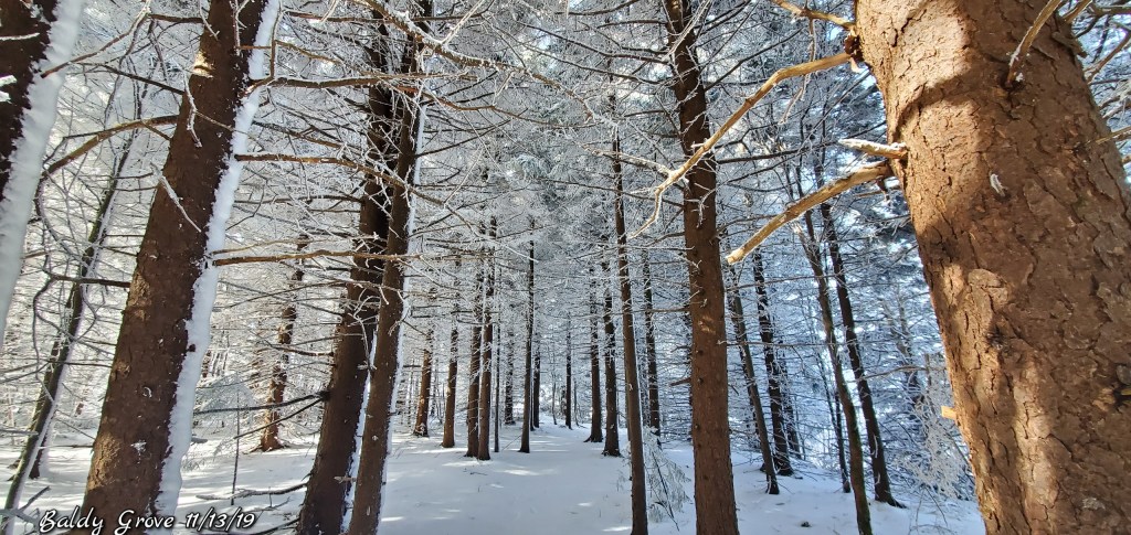
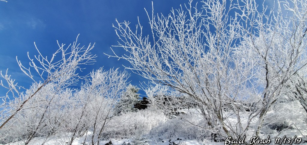
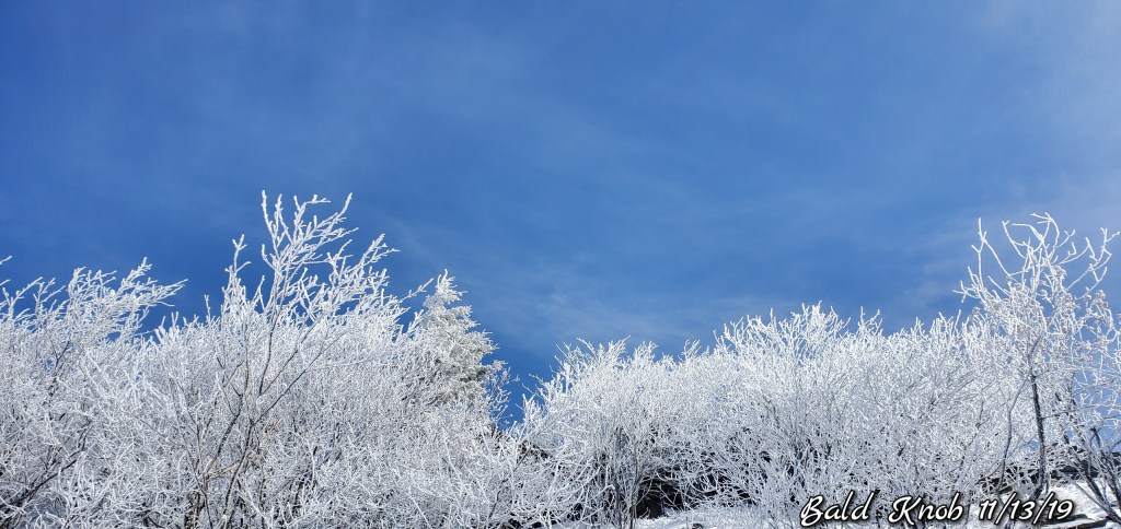
East flow, north central Garrett, points east, and down along the Allegheny Front to the Sods and east saw lots of cloud cover. Some rime across the high Wv on east facing slopes. Sods, Spruce especially. With a dusting of snow, which I believe was just suspended moisture that froze and fell..
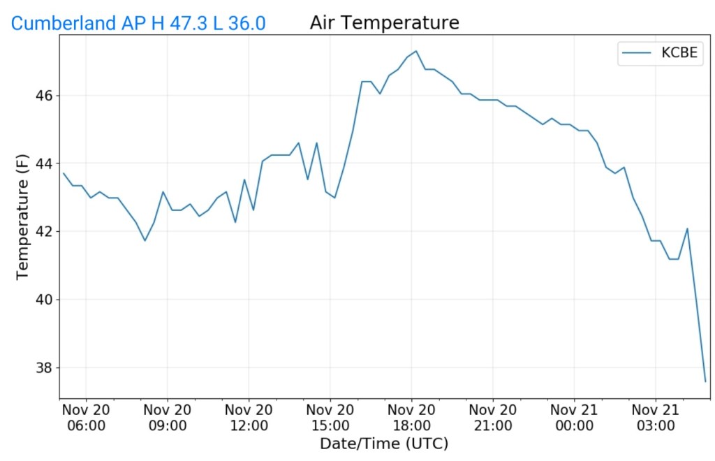
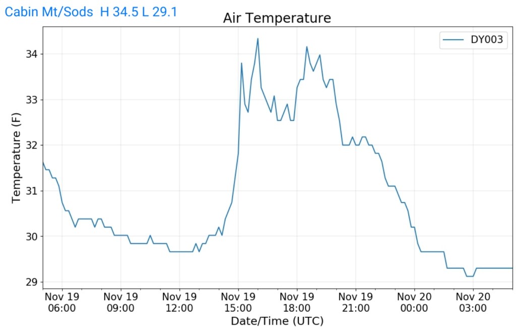
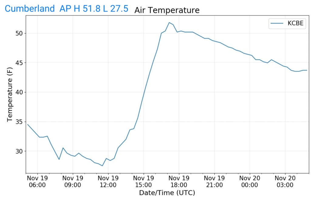
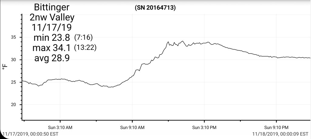
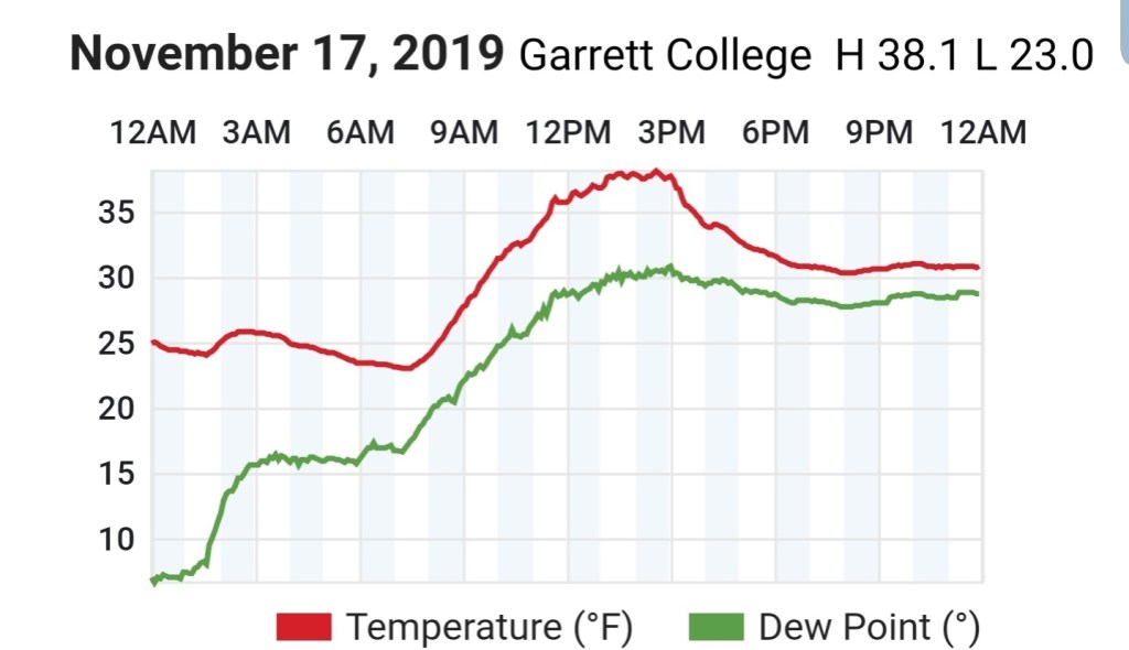
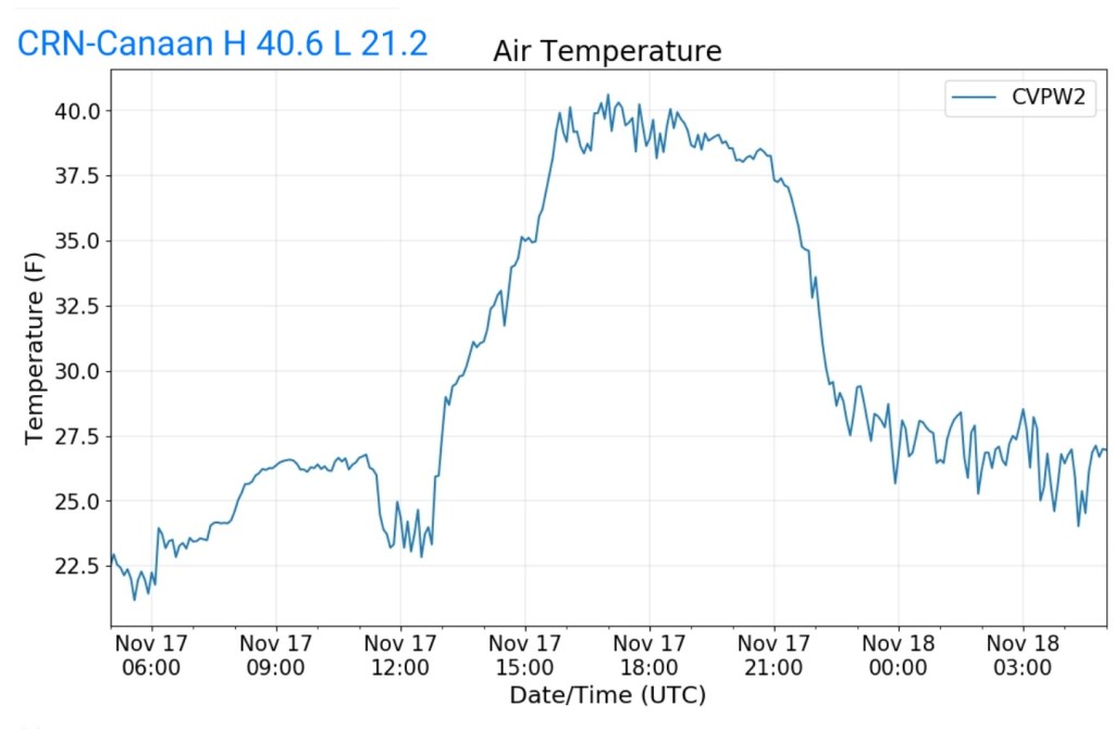
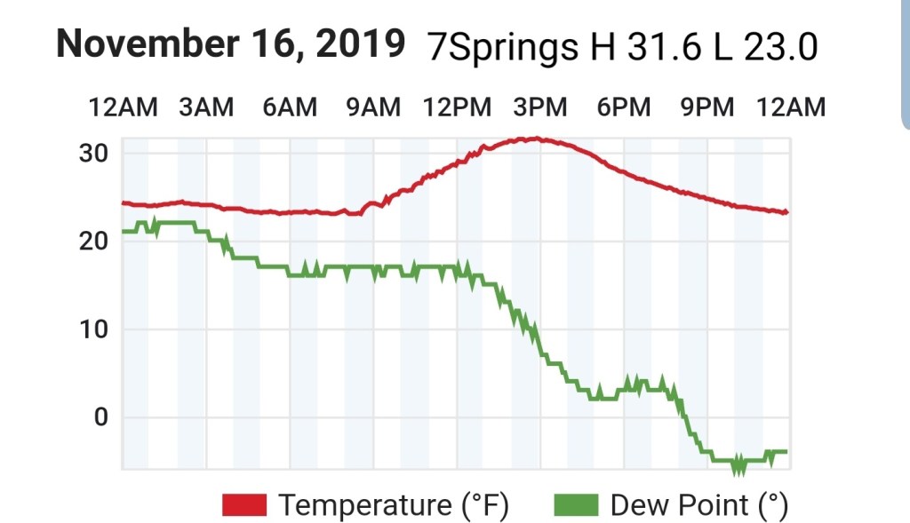
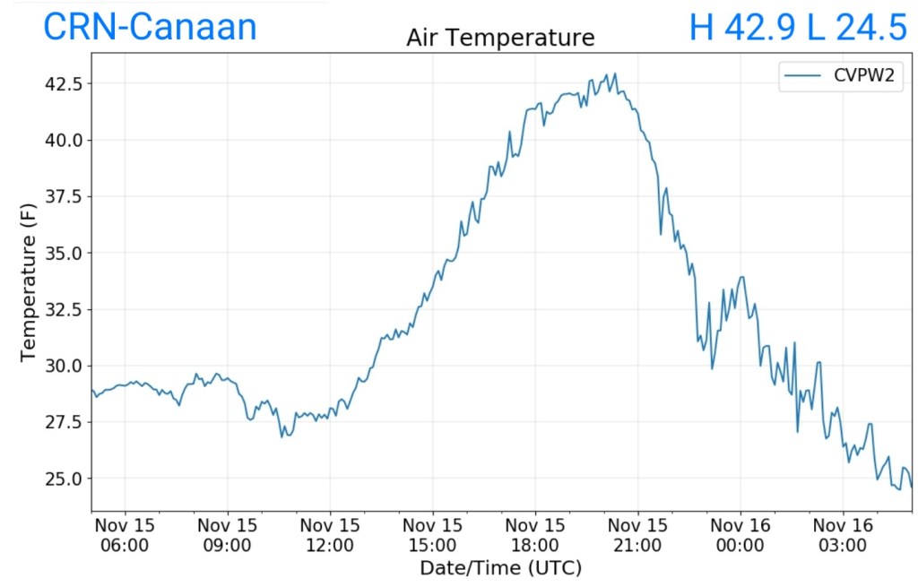
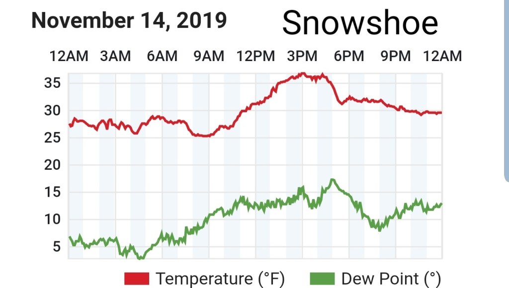
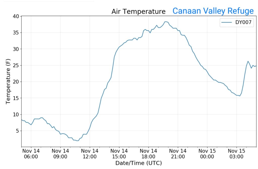
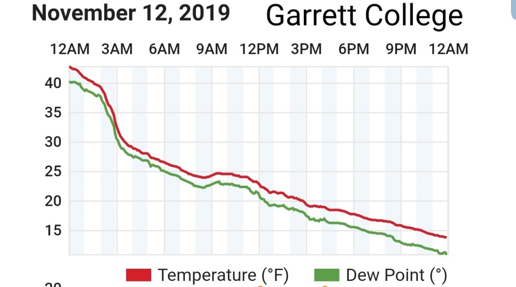
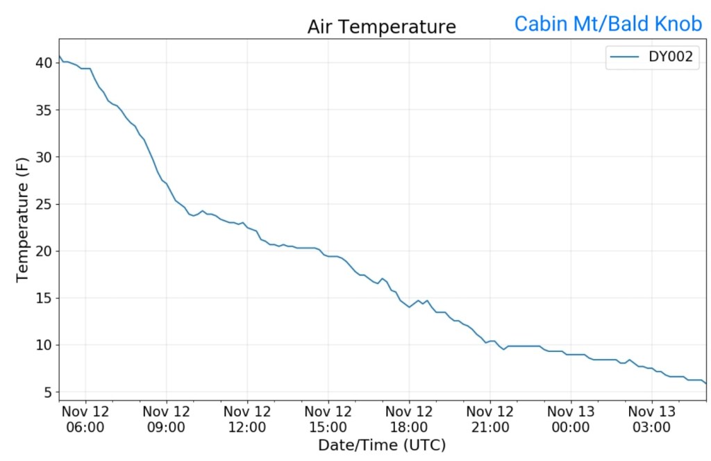
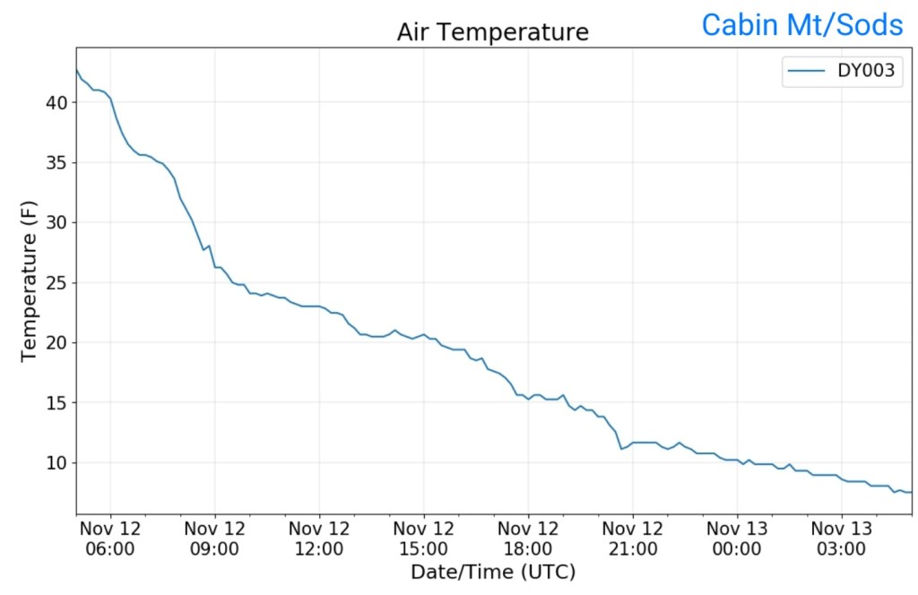
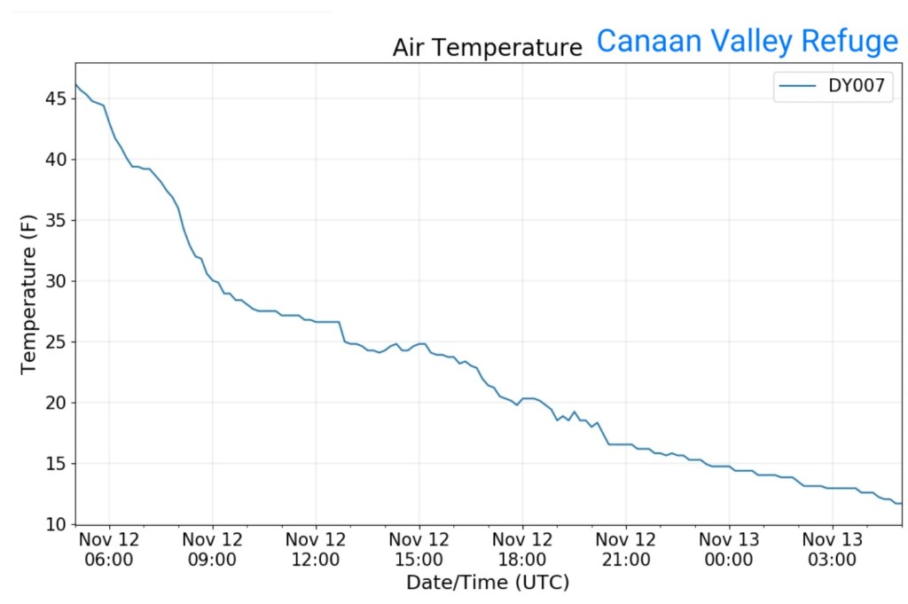
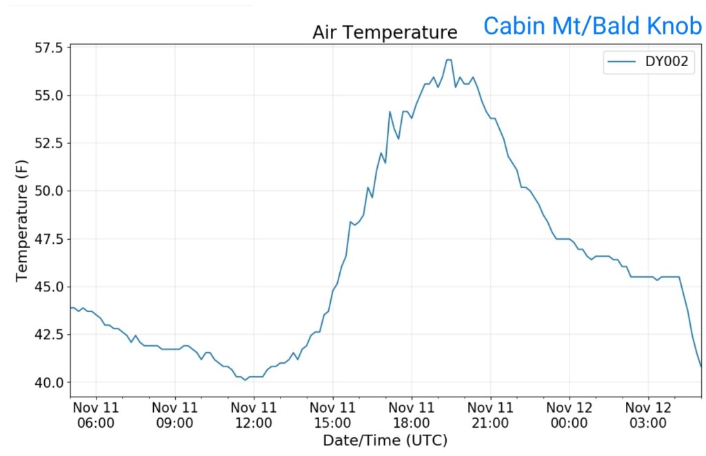
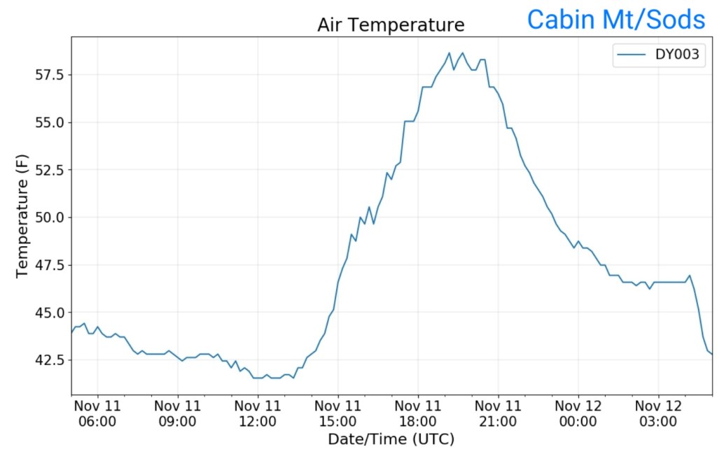
Temps today
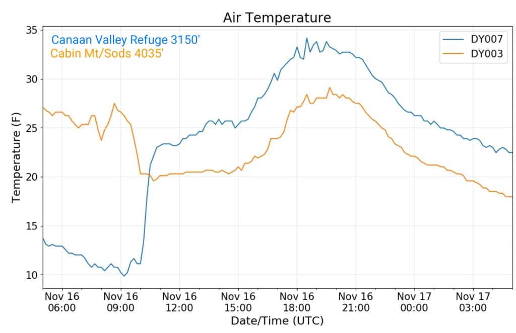
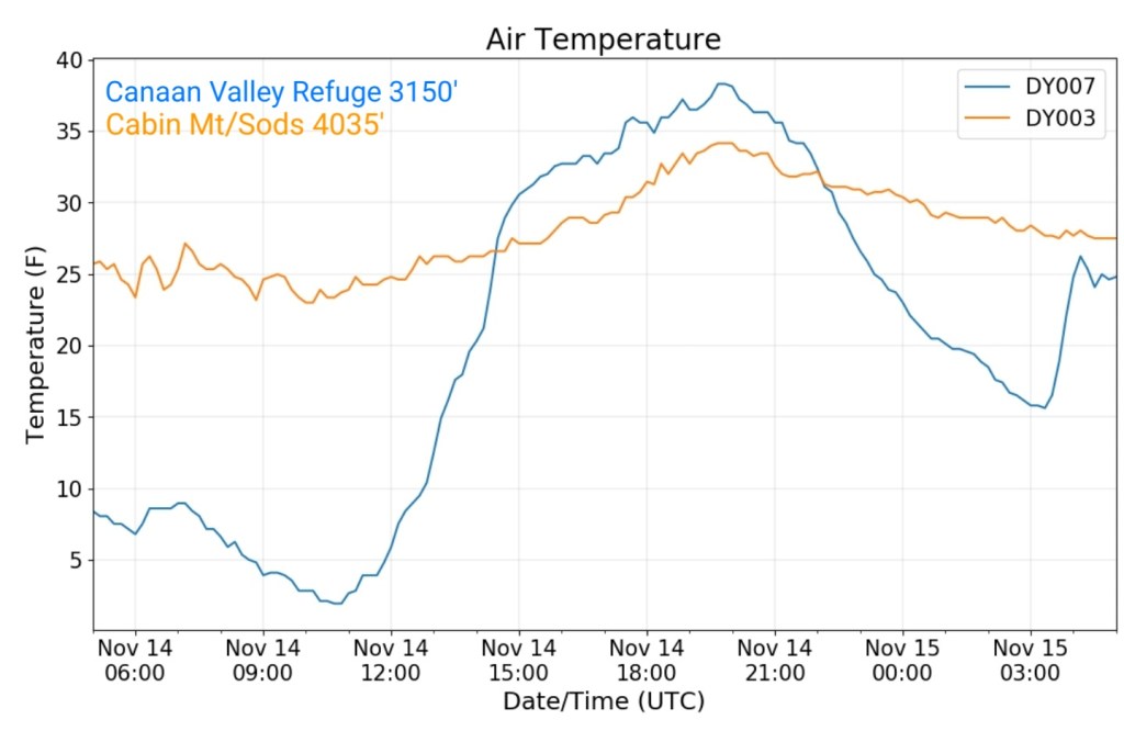
The Valley vs Cabin Mt
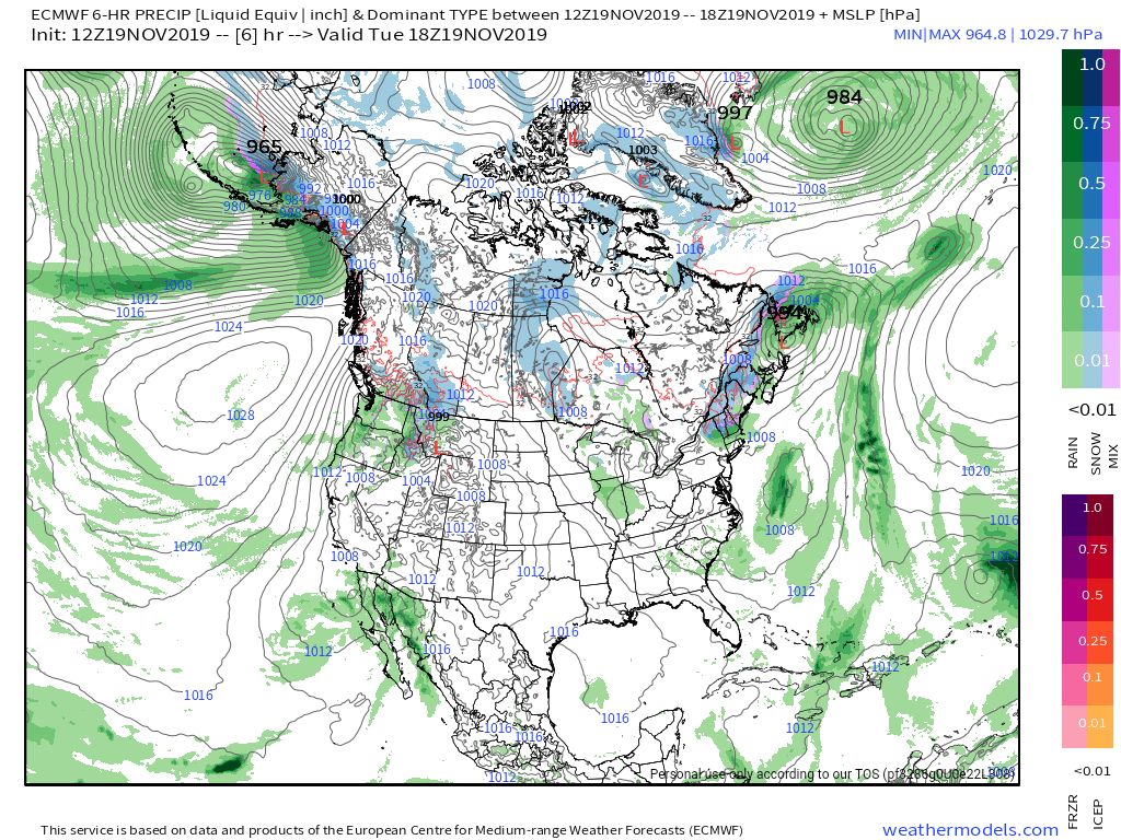
Radar void – light precip undetected
Satellite
Flow
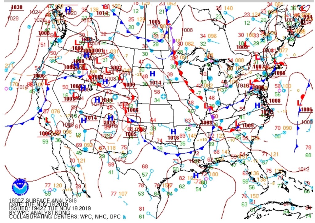
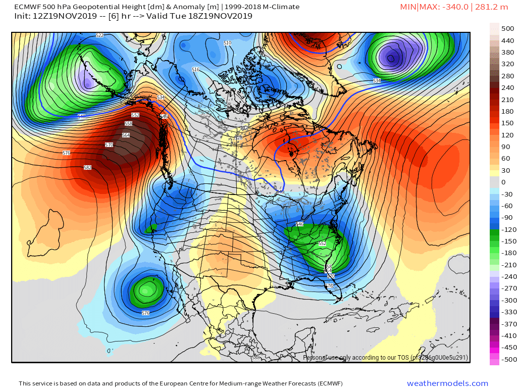
Surface features and 500mb height anomalies and flow
Pics to come
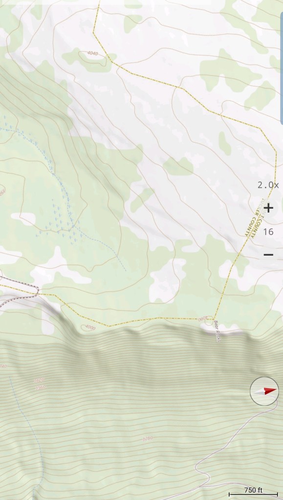
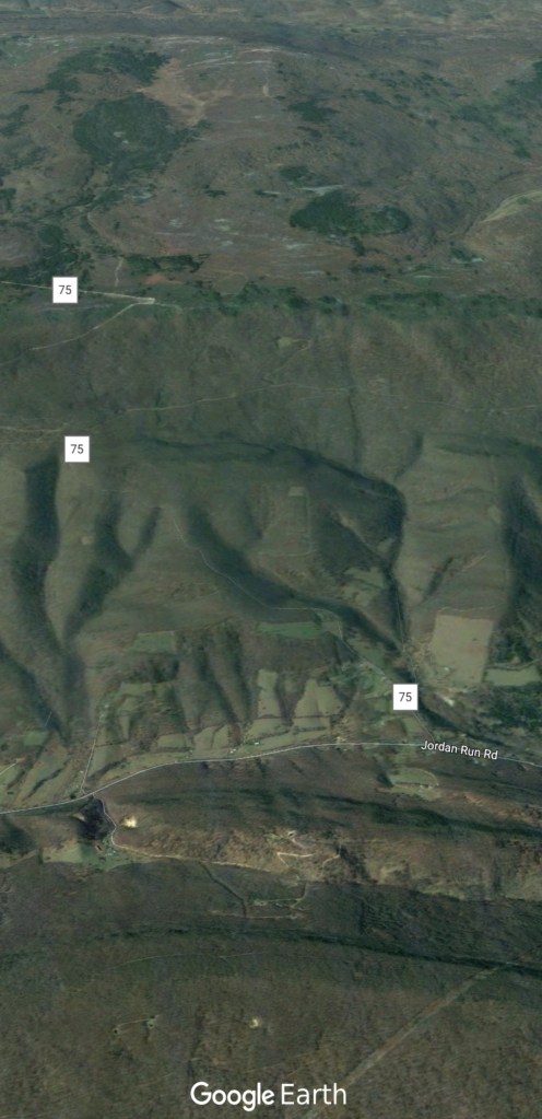
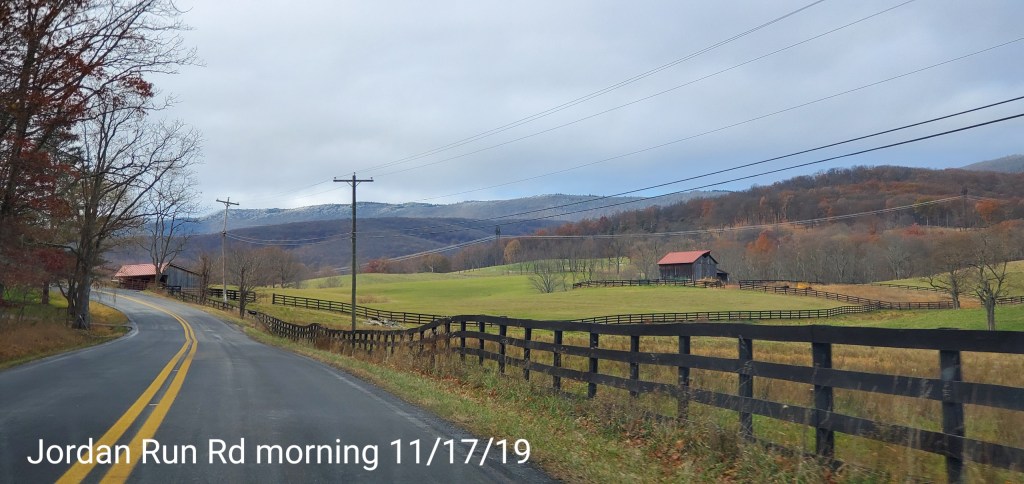
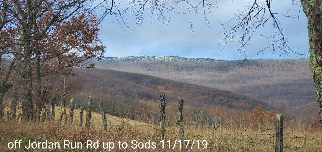
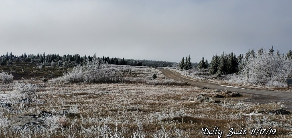
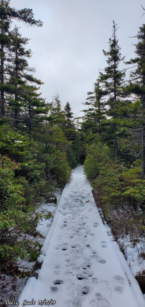
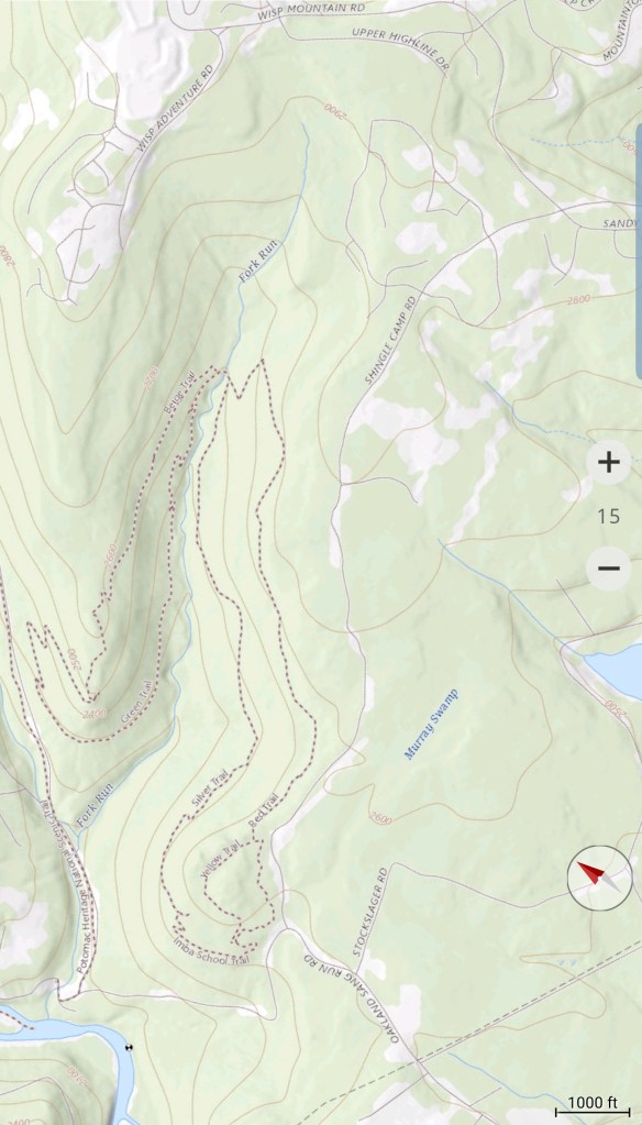
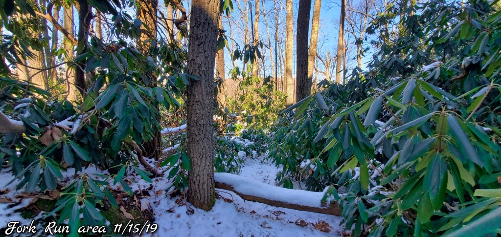
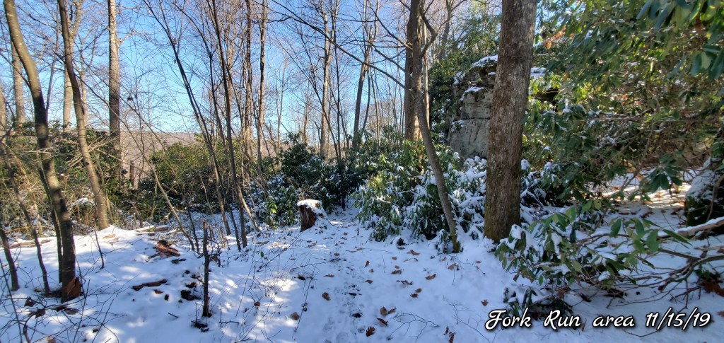
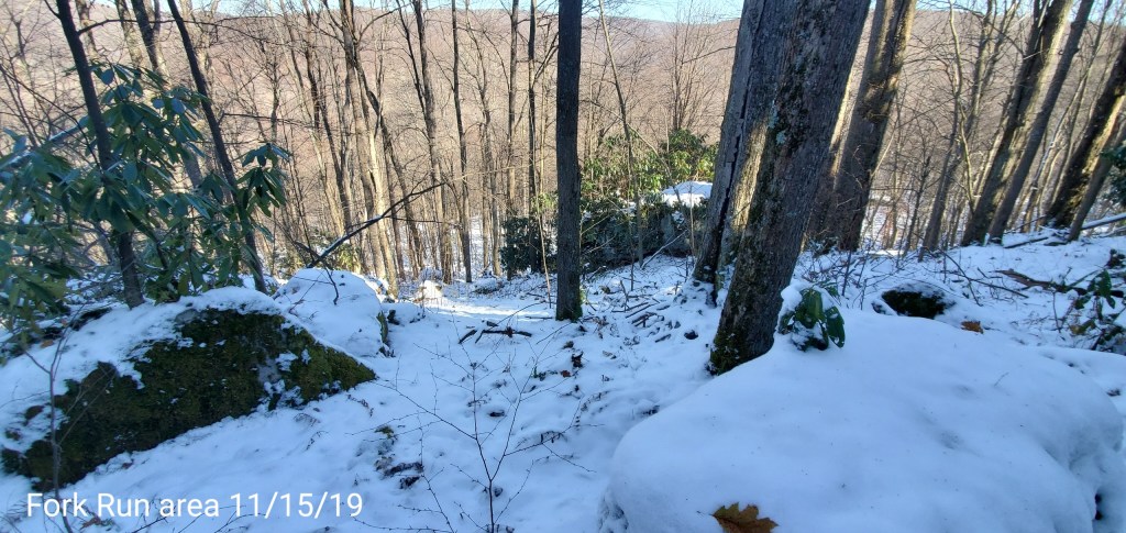
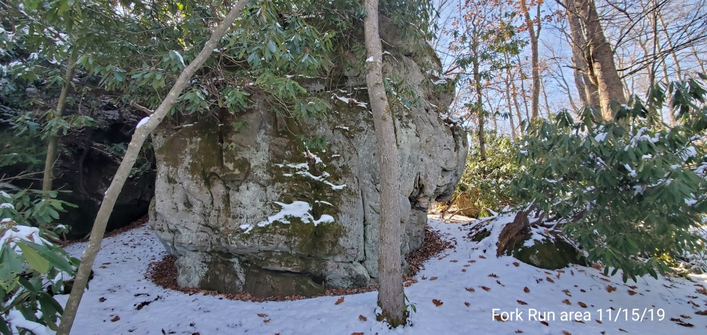
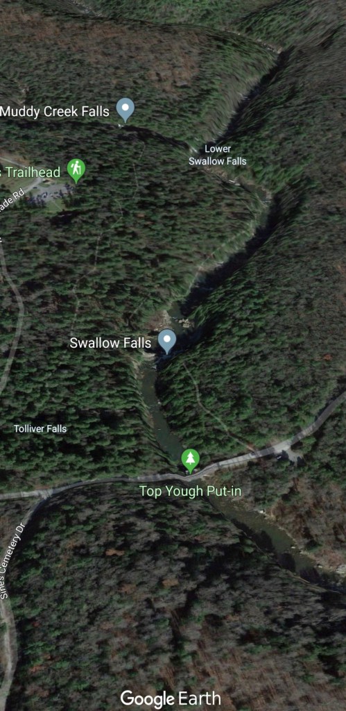
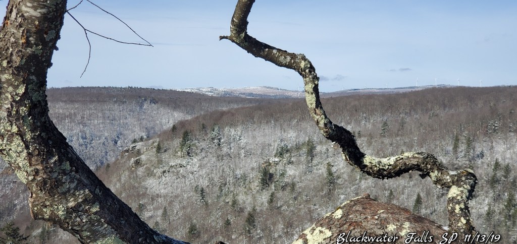
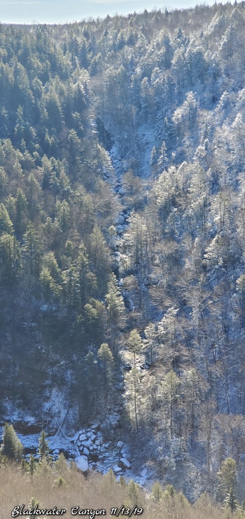
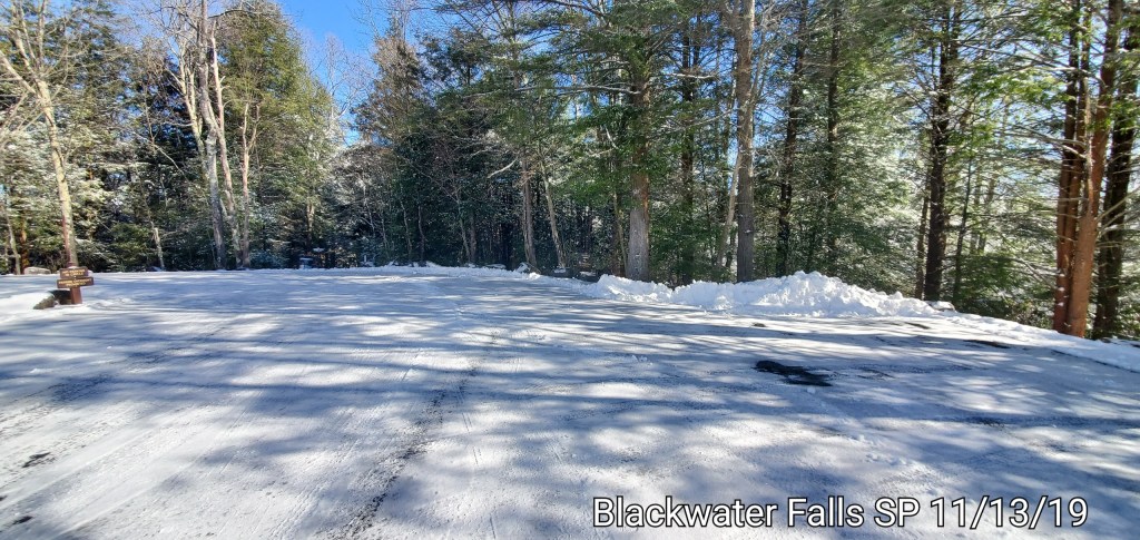
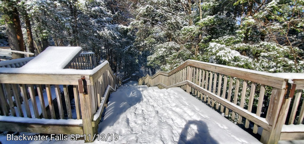
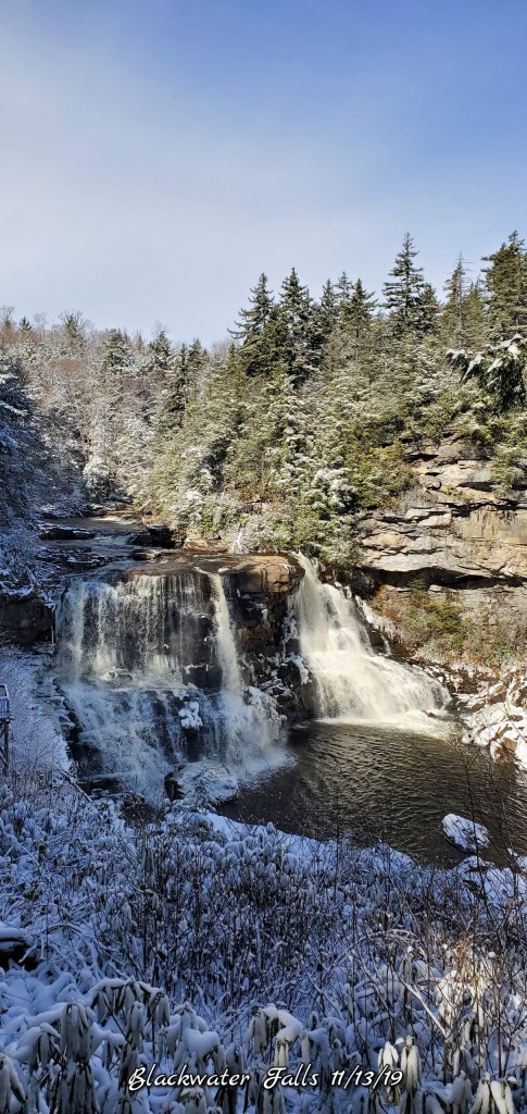
Jordan Run to Bear Rocks
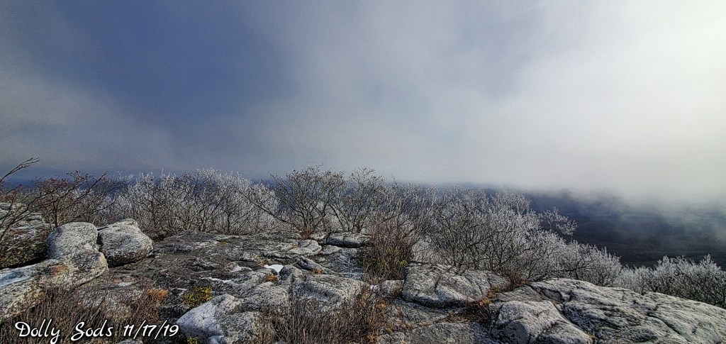
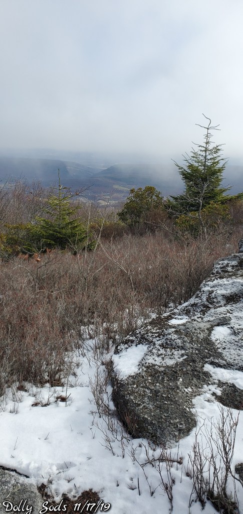
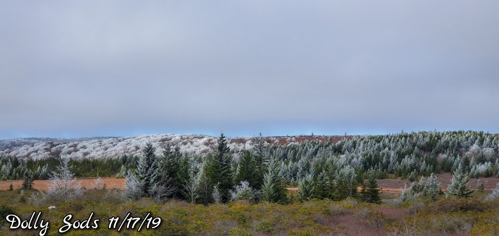
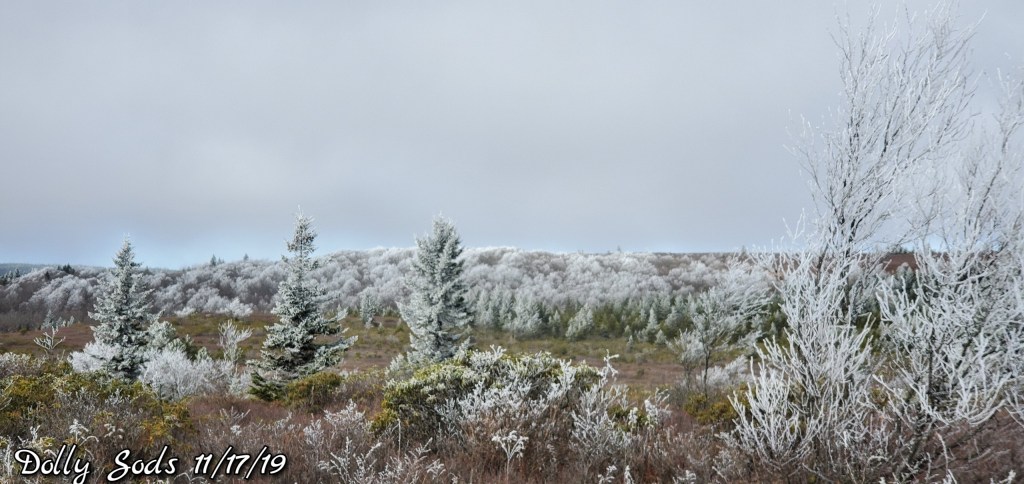
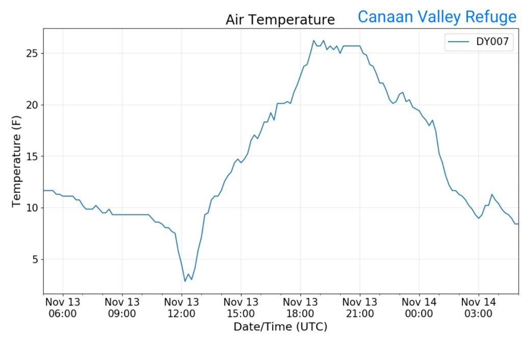
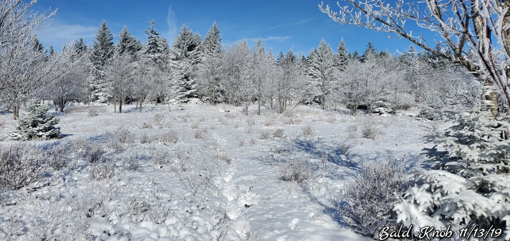
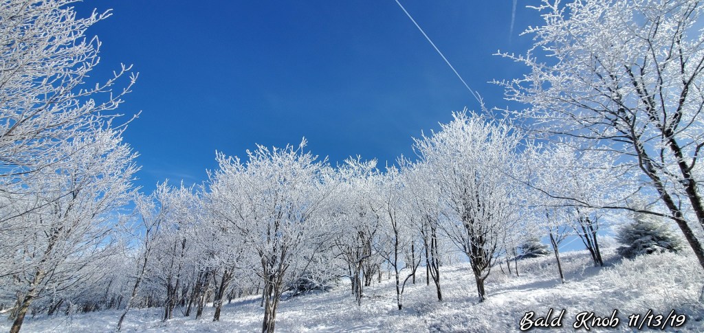
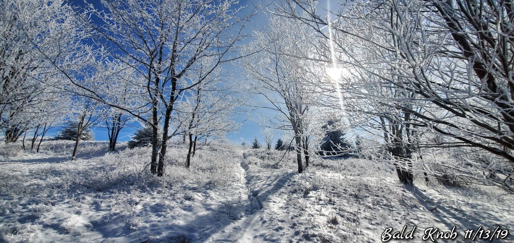
The east flow. Low clouds and fog held across the northern areas of the Allegheny Front with intervals of some some. Trees were rimed in from the east..
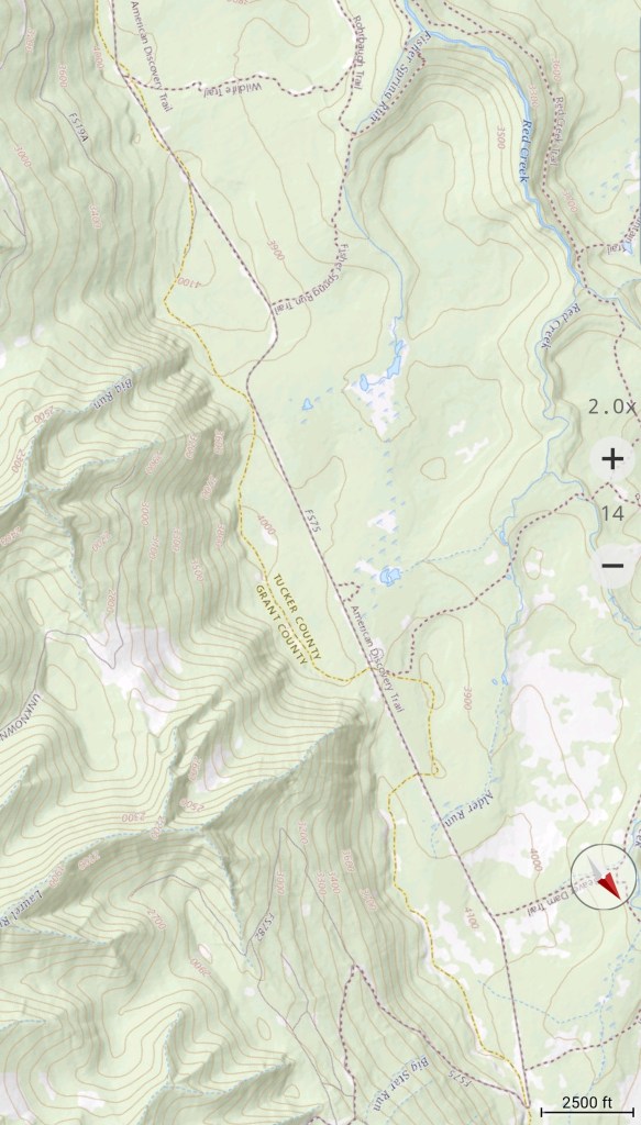
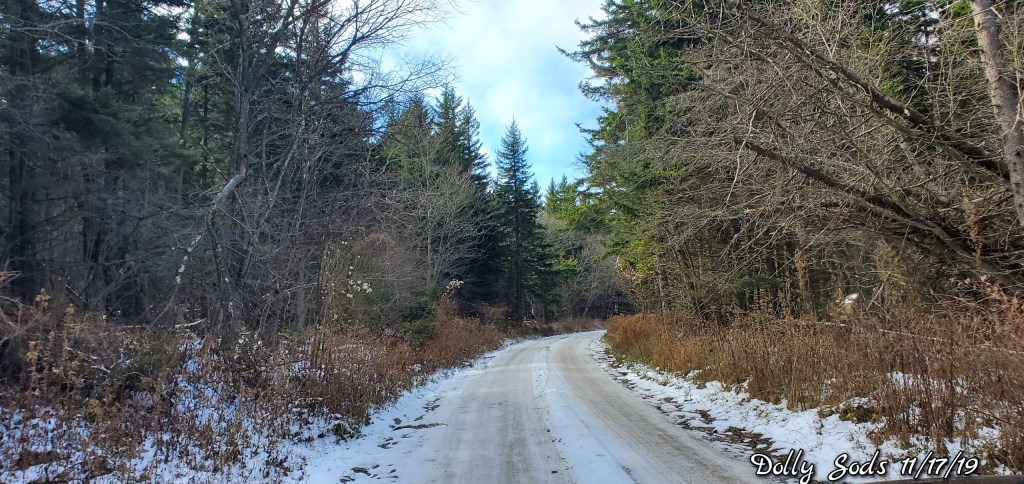
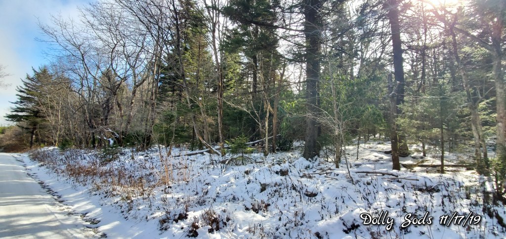
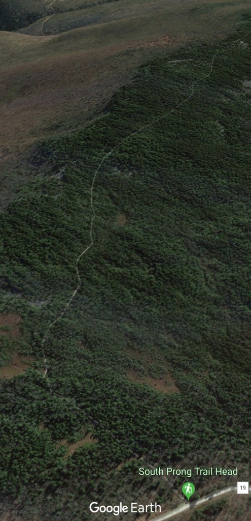
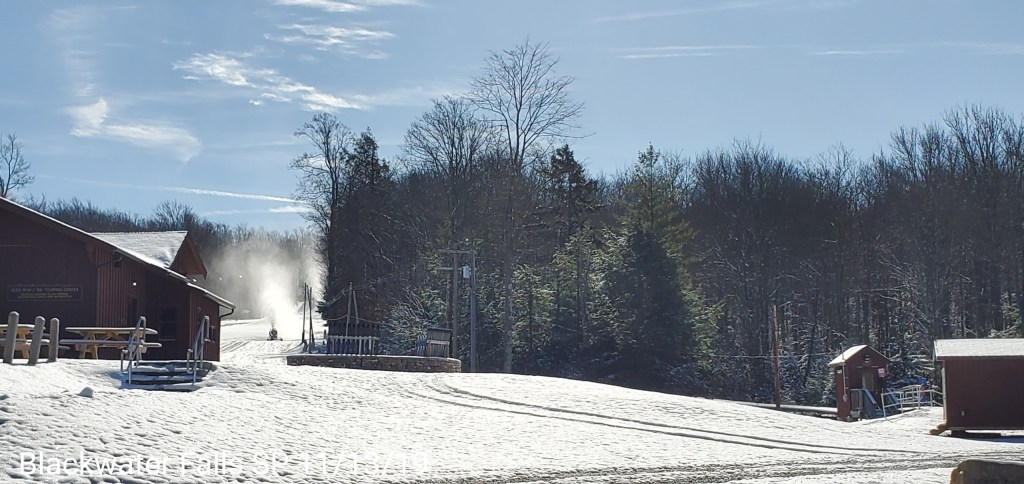
South on FR 75 to 19
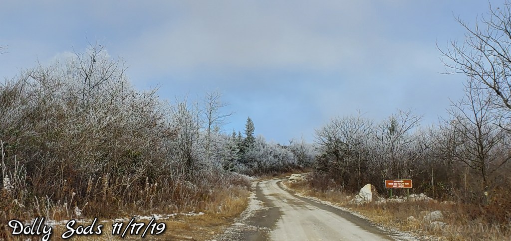
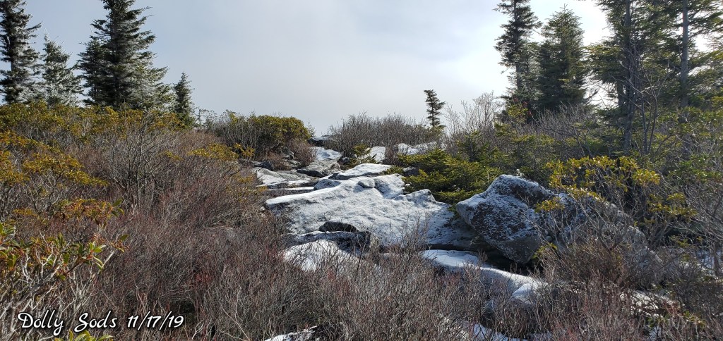
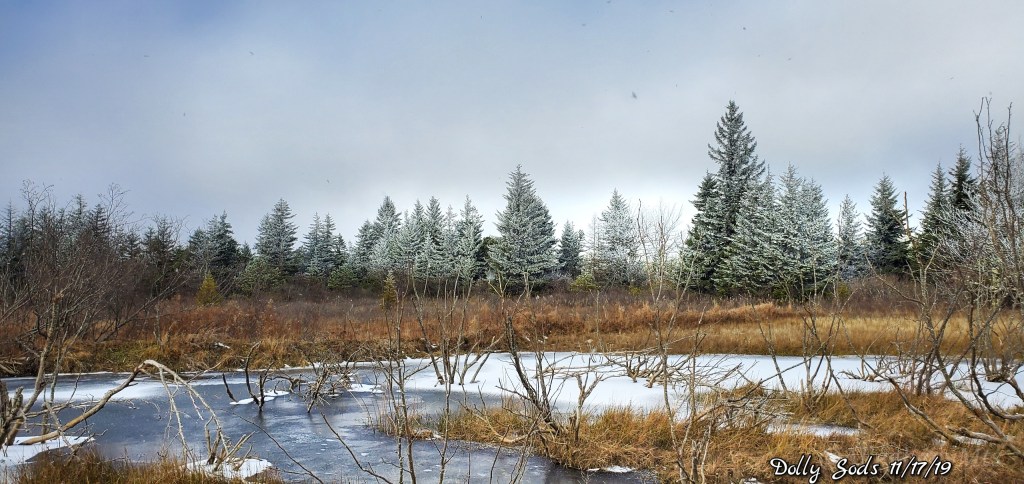
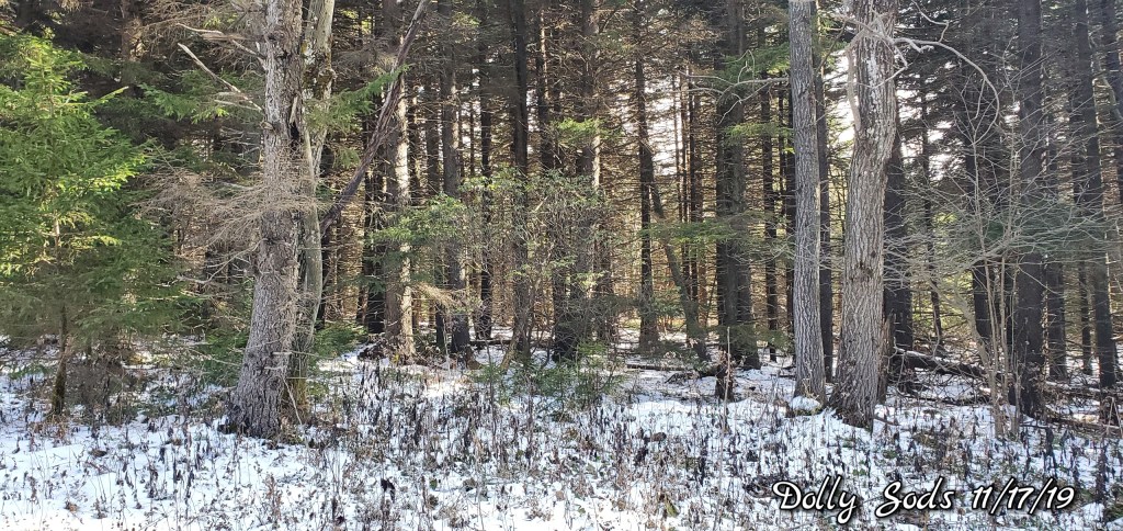
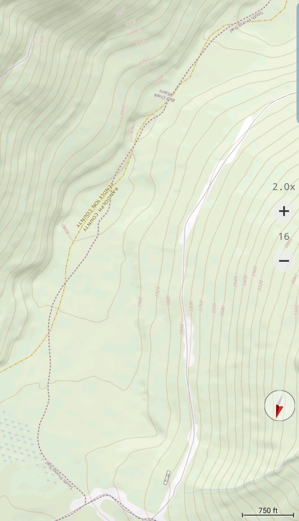
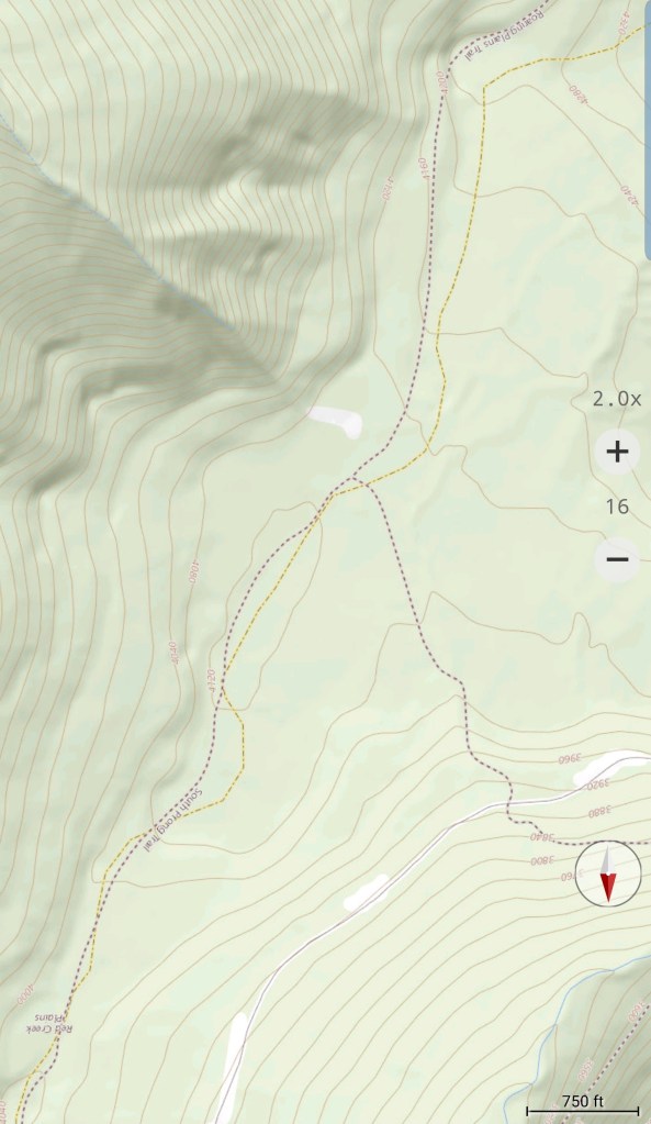
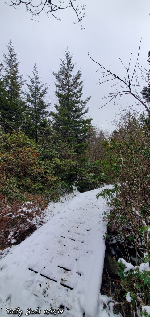
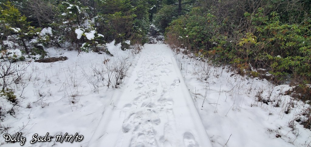
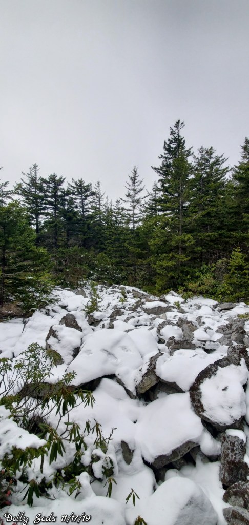
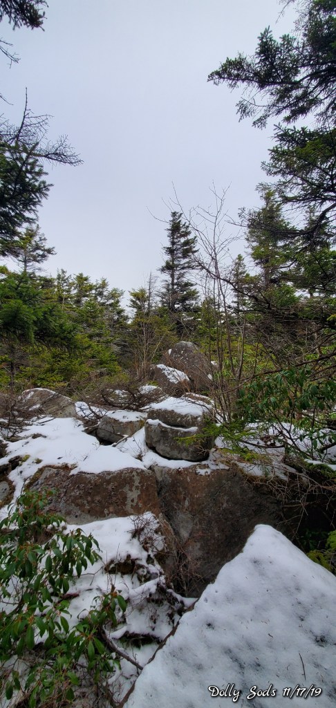
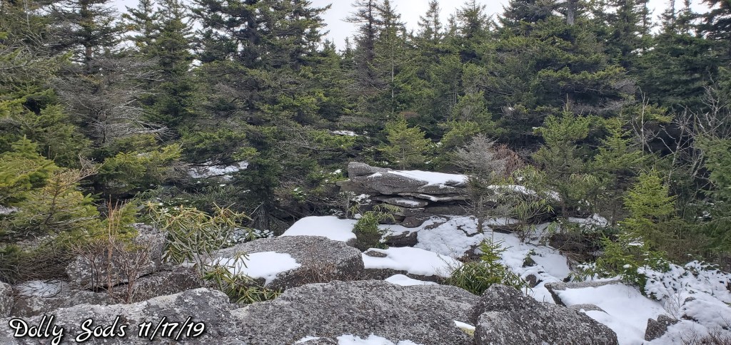
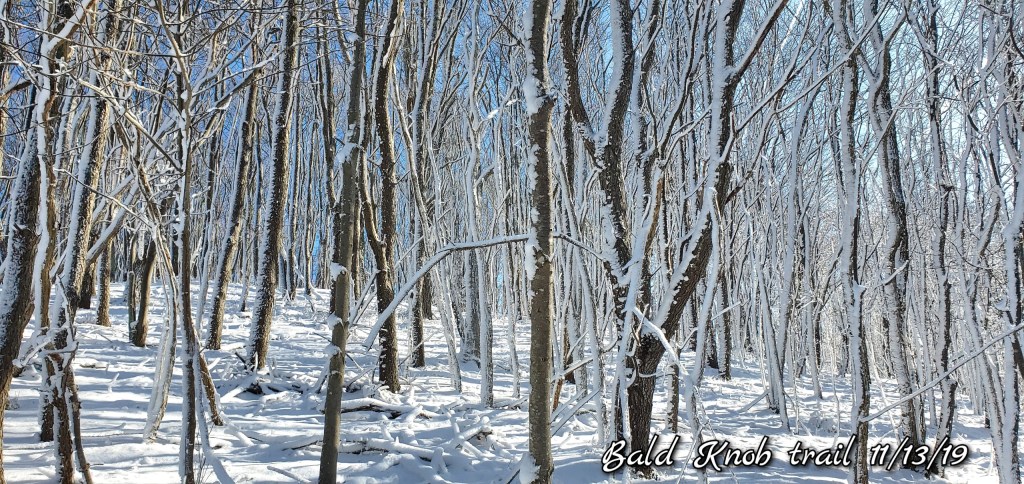
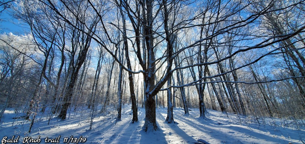
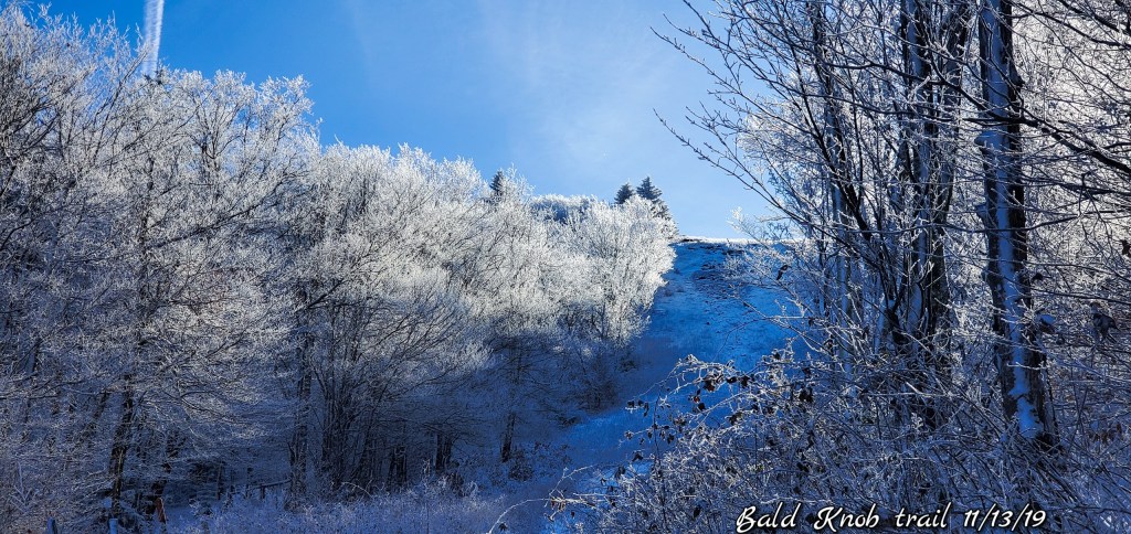
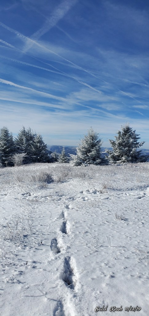
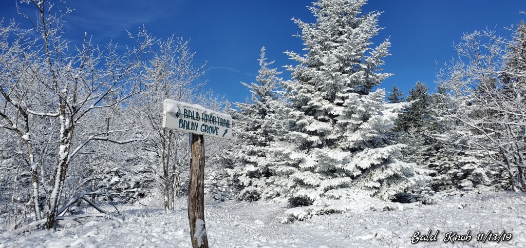
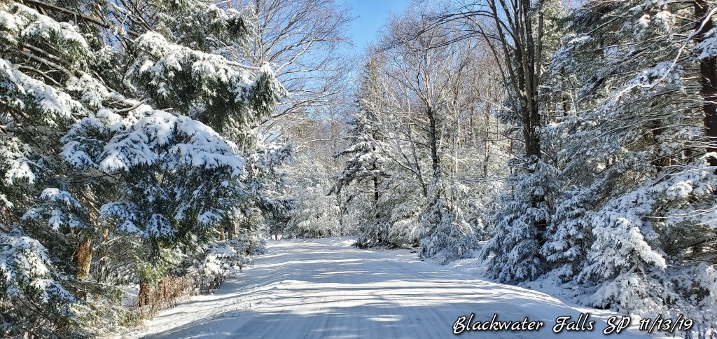
South Prong trail at the Sods
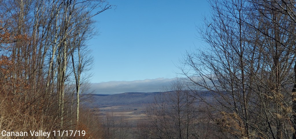
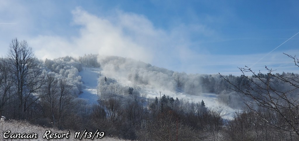
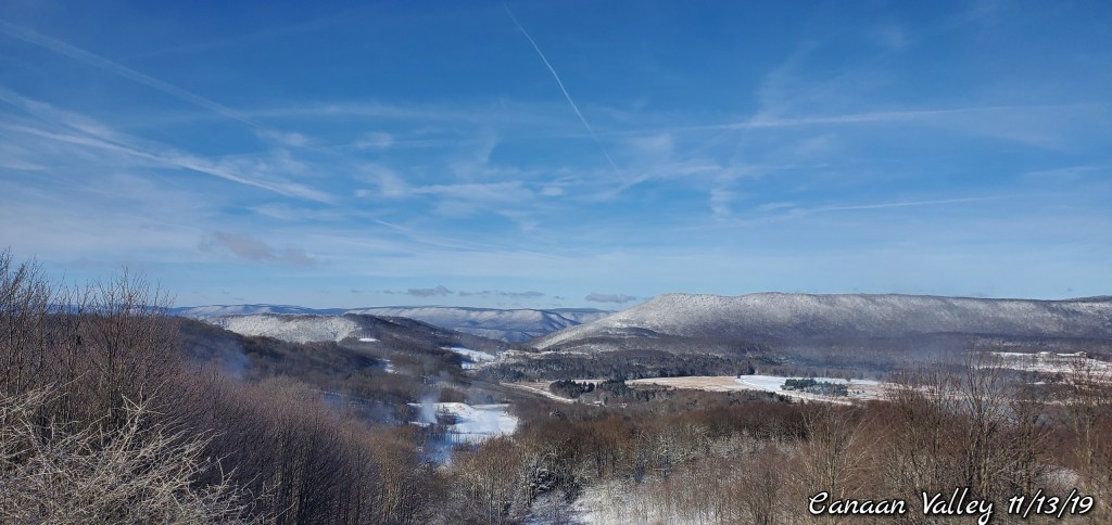
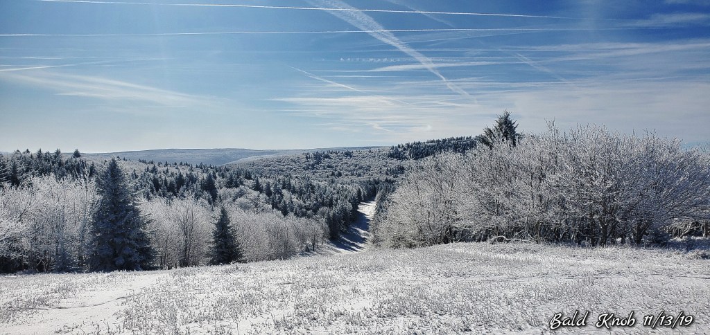
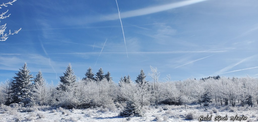
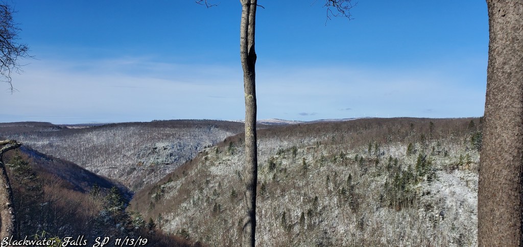
Looking east from Canaan Mt
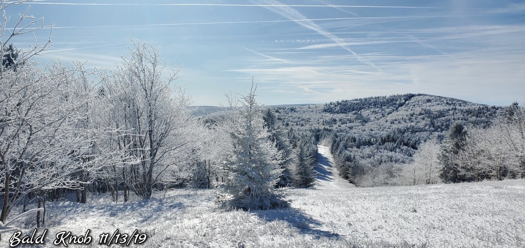
Cloud line very visible.
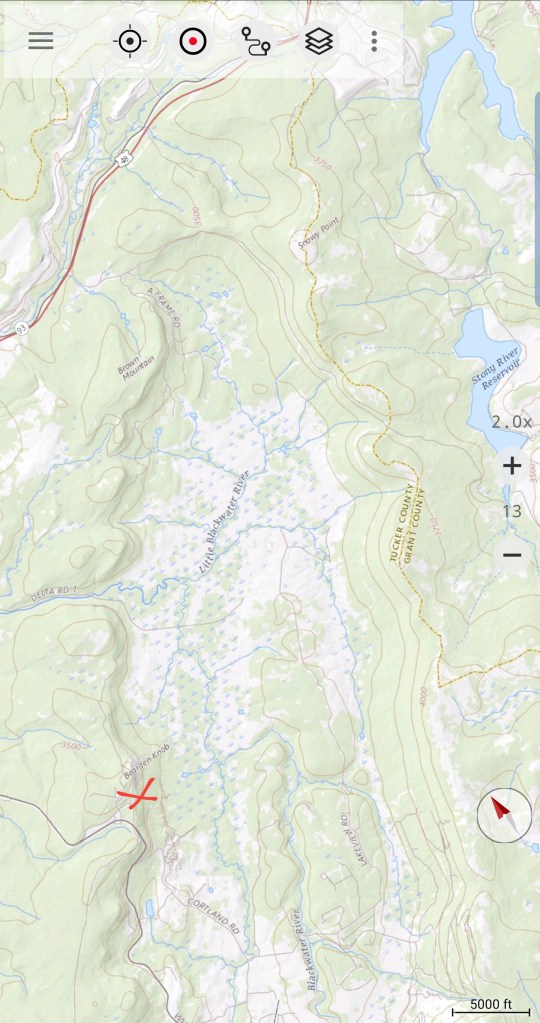
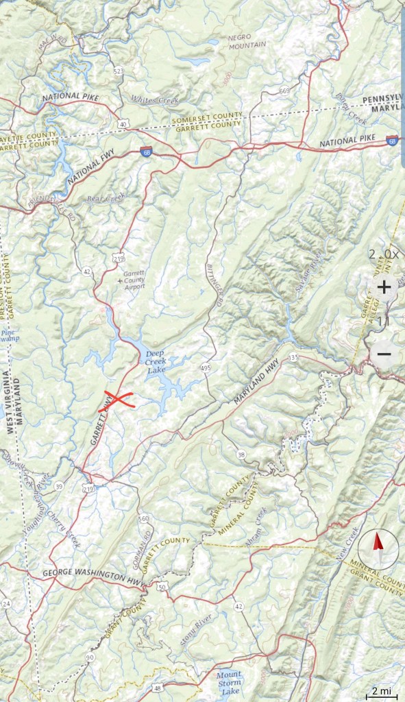
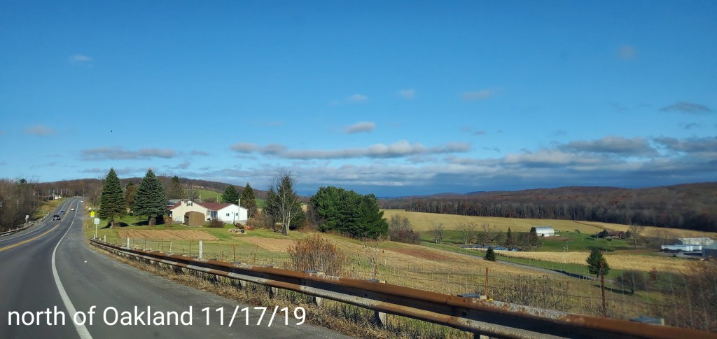
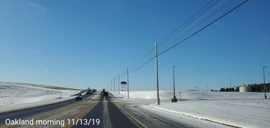
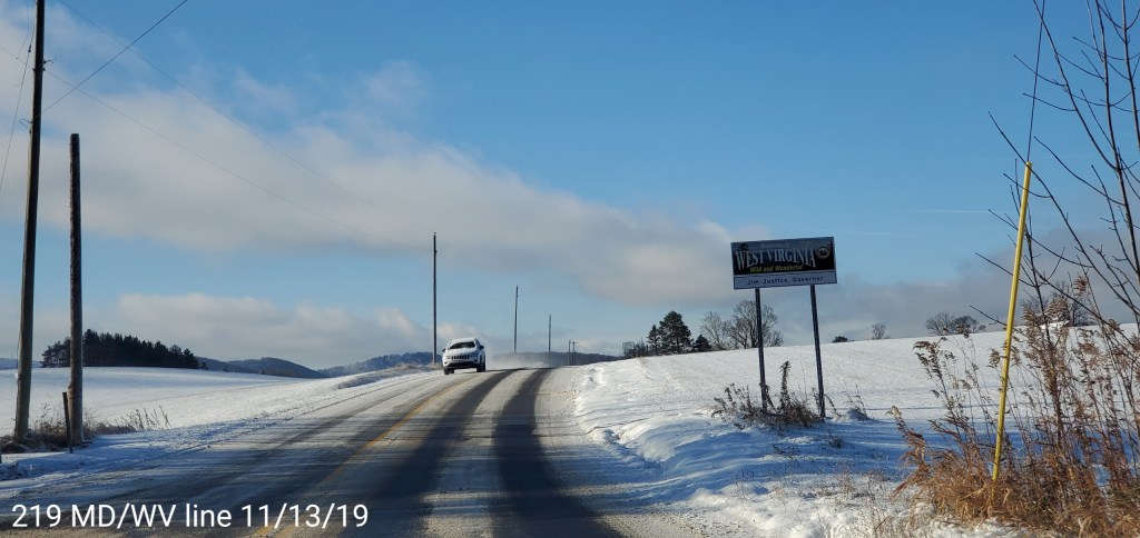
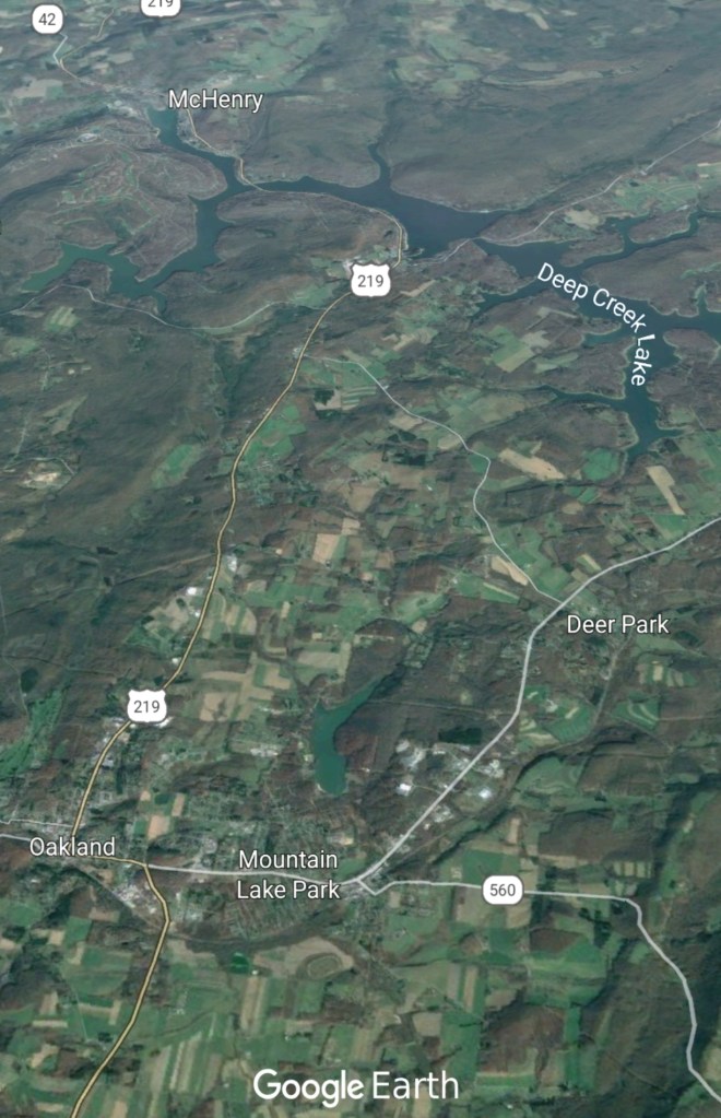
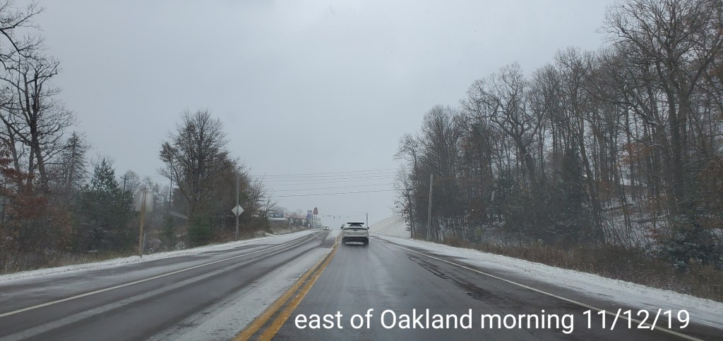
North into Garrett
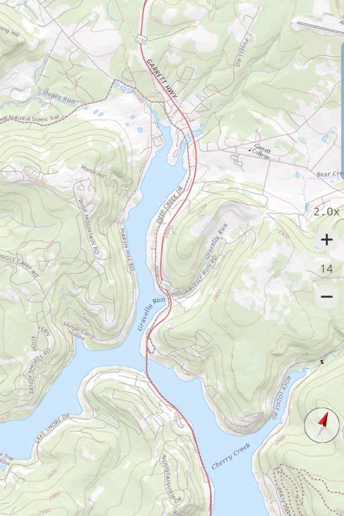
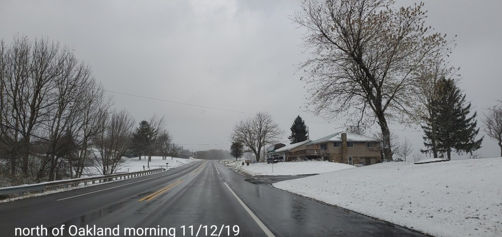
From north of Oakland , that cloud line, which is often the back west edge in freezing rain setups, in the classic location.
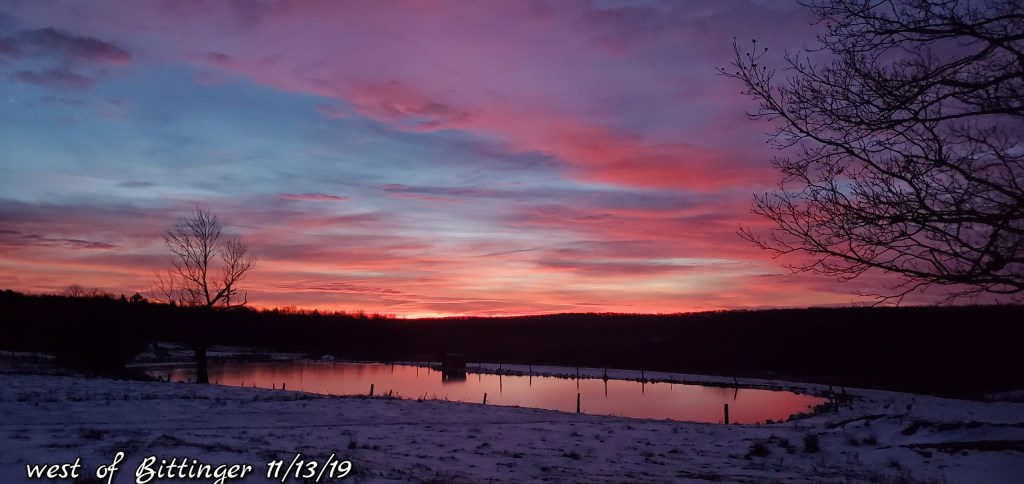
Photos by Peggy Thorne-Church
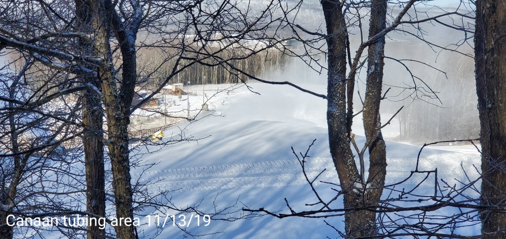
Aerial views around Canaan to Mt.Storm. excellent views of the cloud cover towards the Allegheny Front and east while sunny west of the Front.
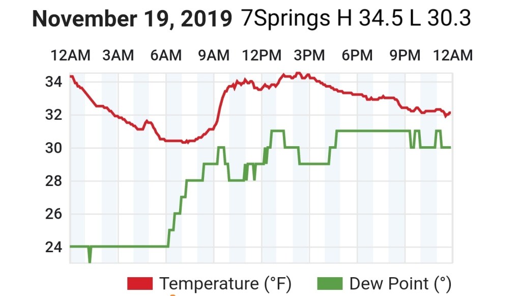
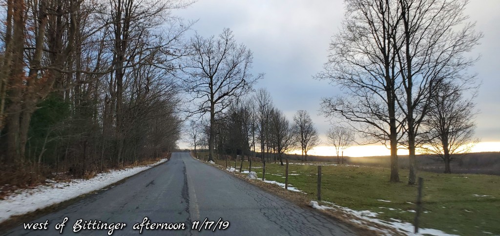
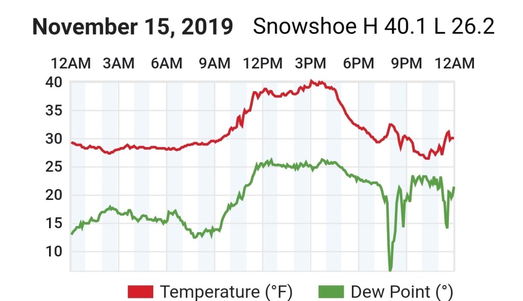
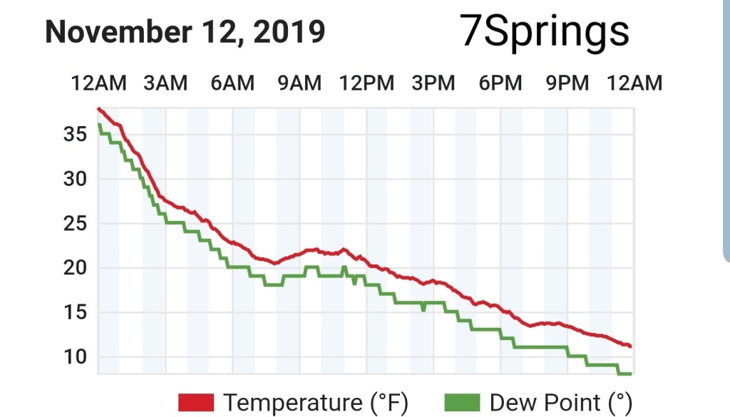
Day began cloudy until daybreak..some areas cleared prior to daybreak allowing temps to fall off more. Light SE flow today kept areas in the north and eastern Alleghenies colder.
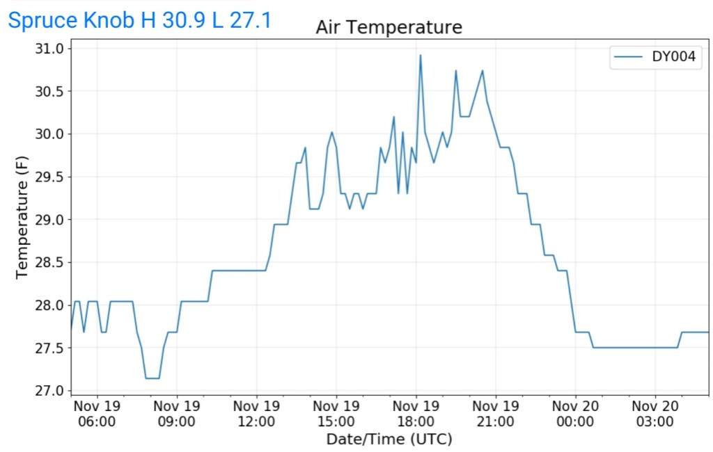
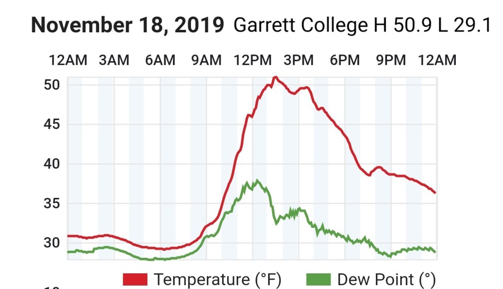
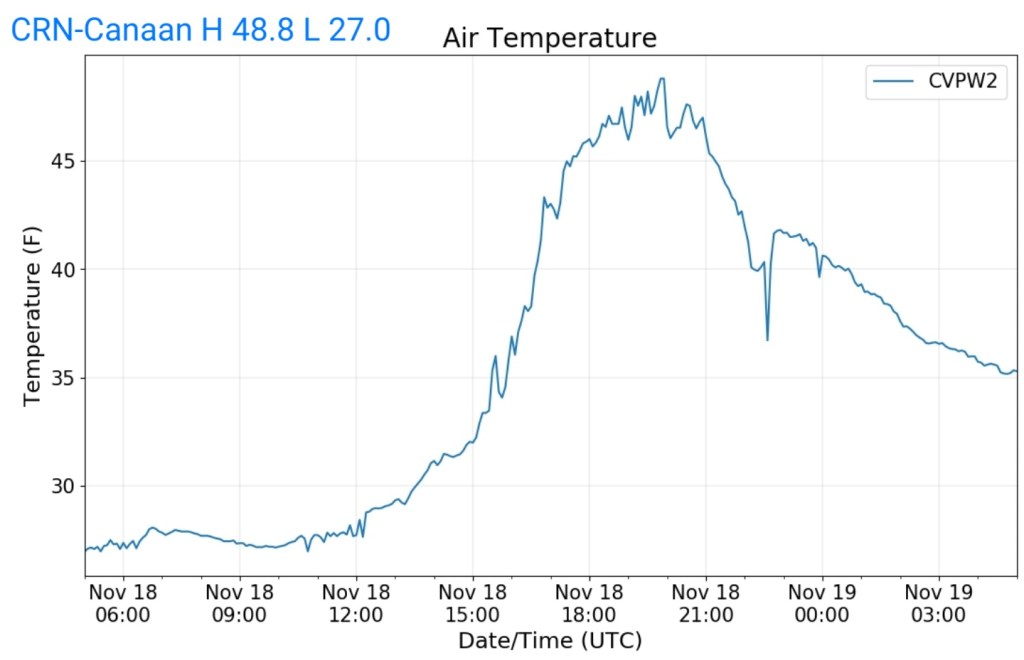
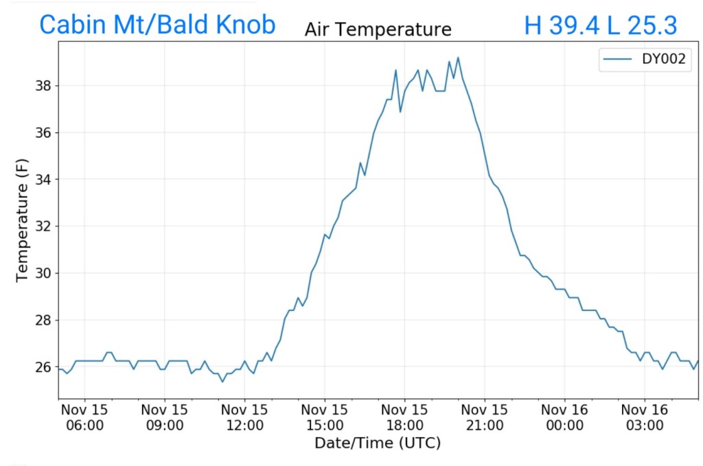
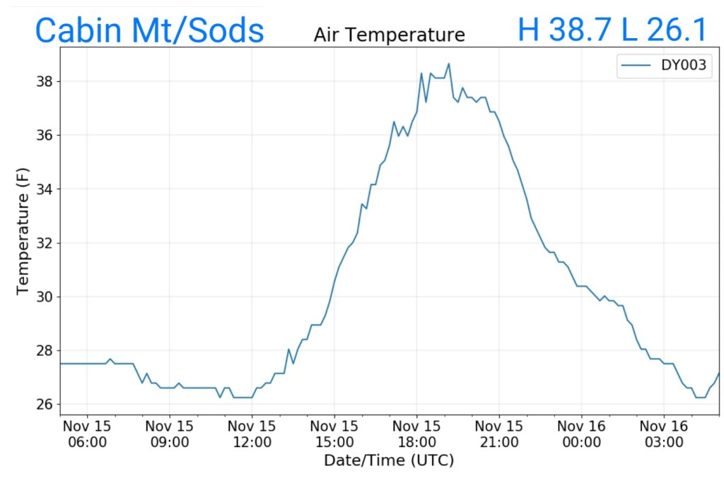
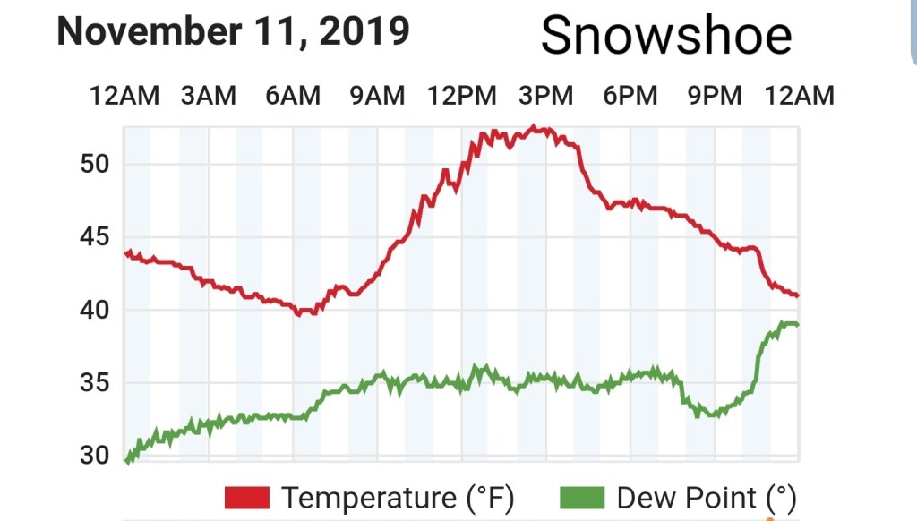
Temps today
The Valley vs Cabin Mt
Radar void
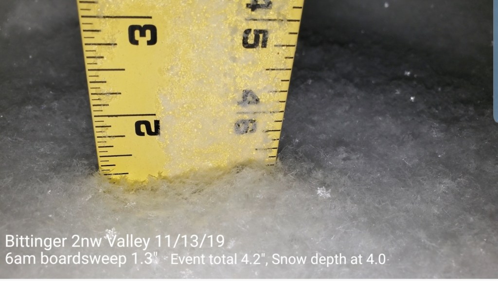
Snowfall:
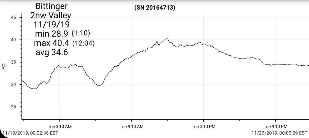
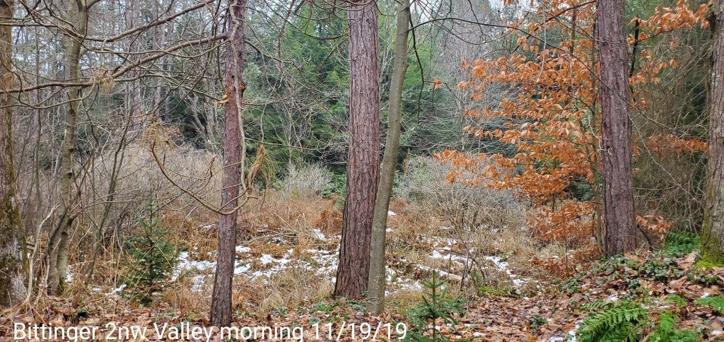
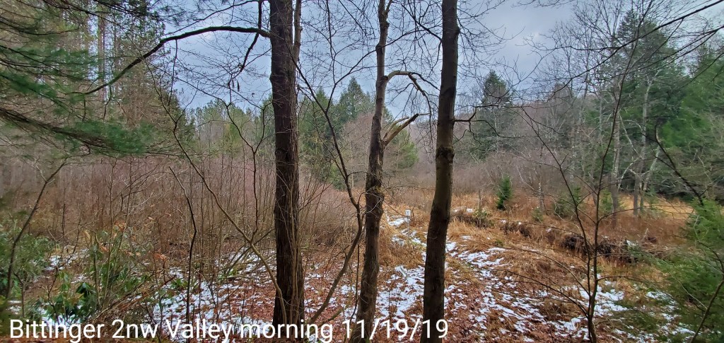
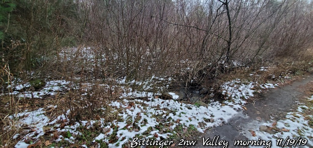
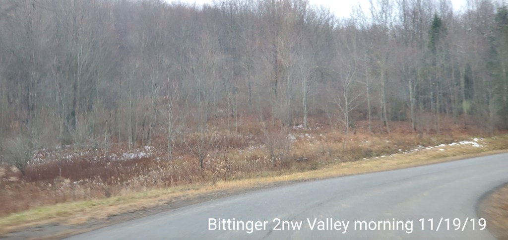
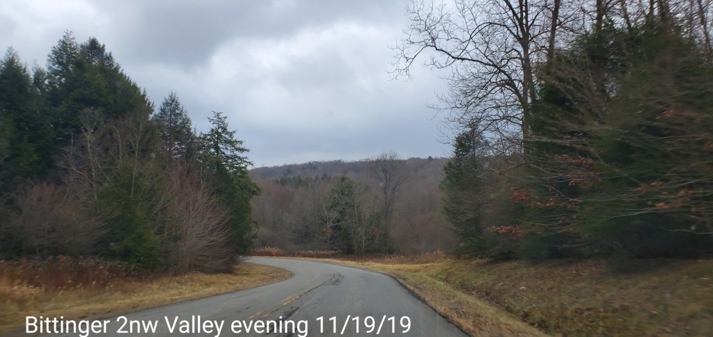
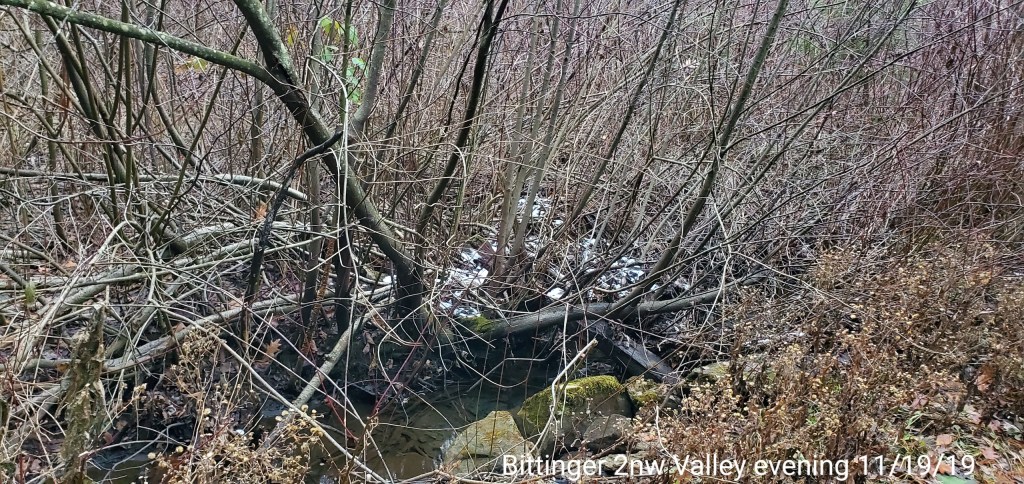
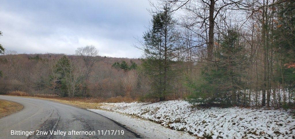
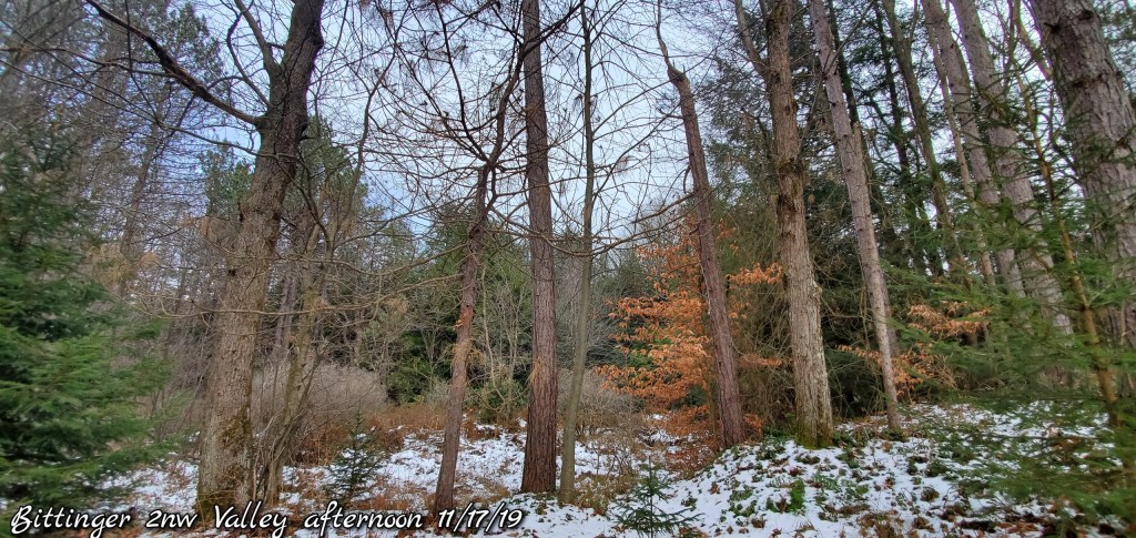
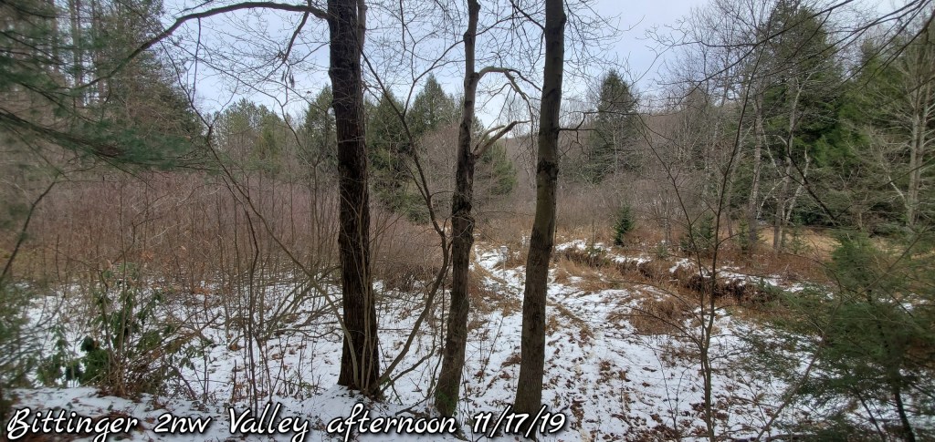
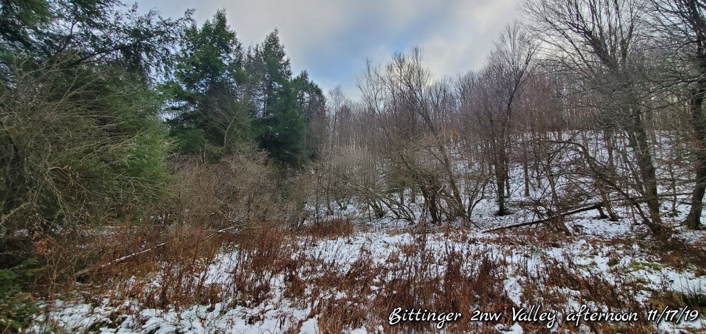
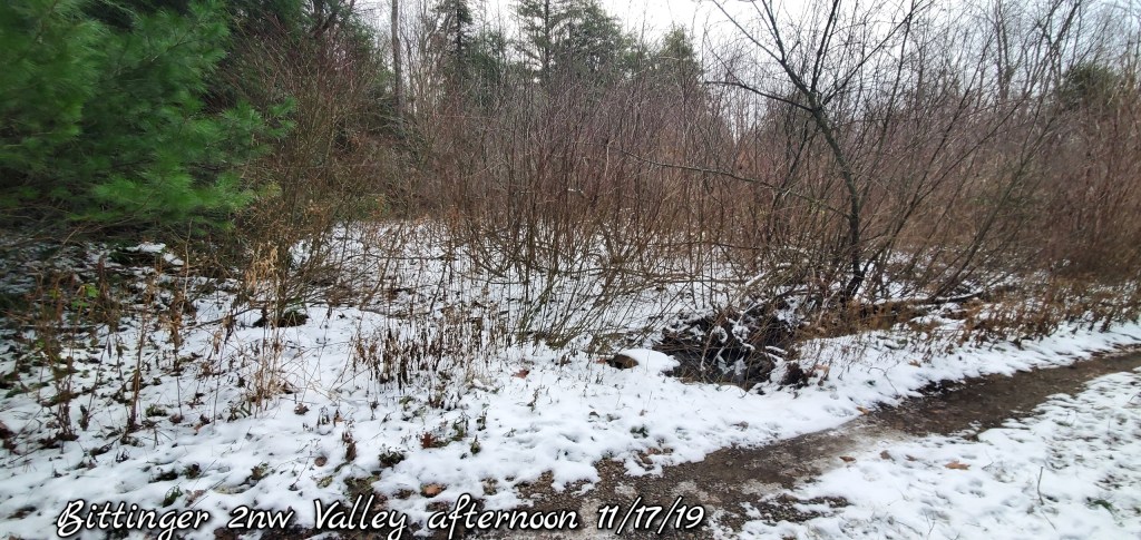
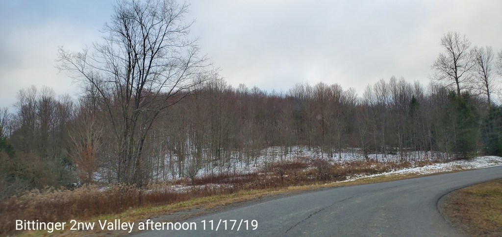
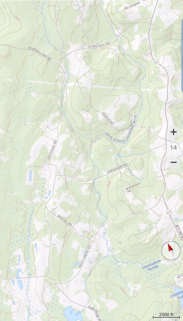
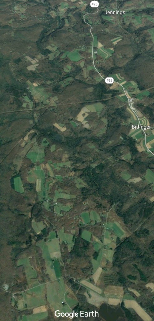
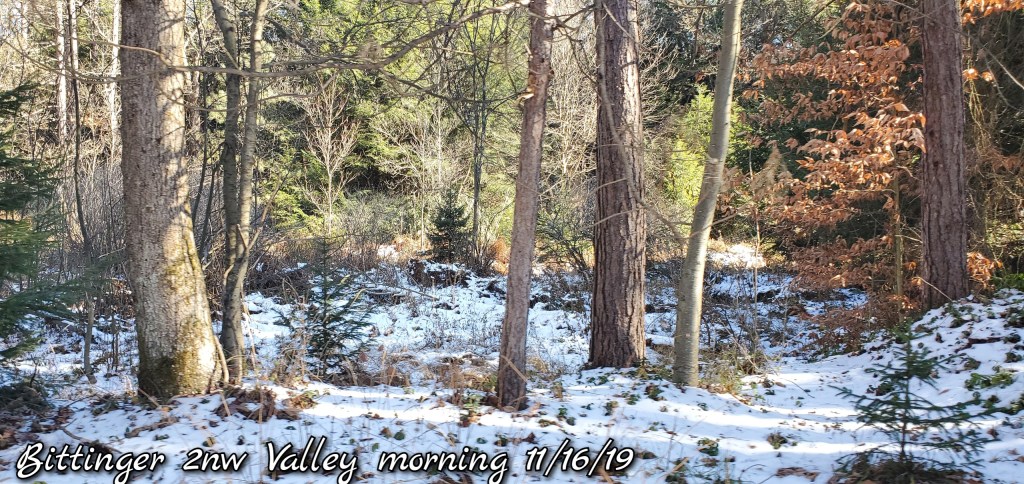
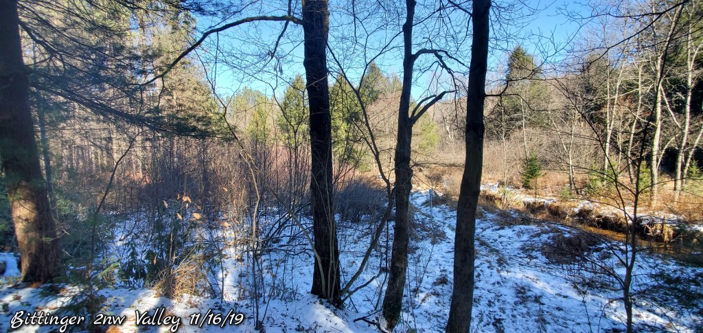
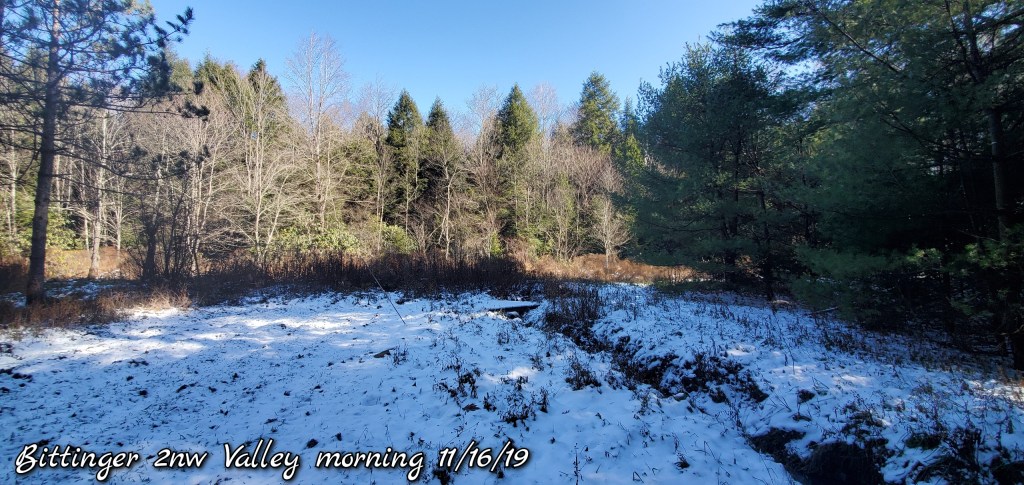
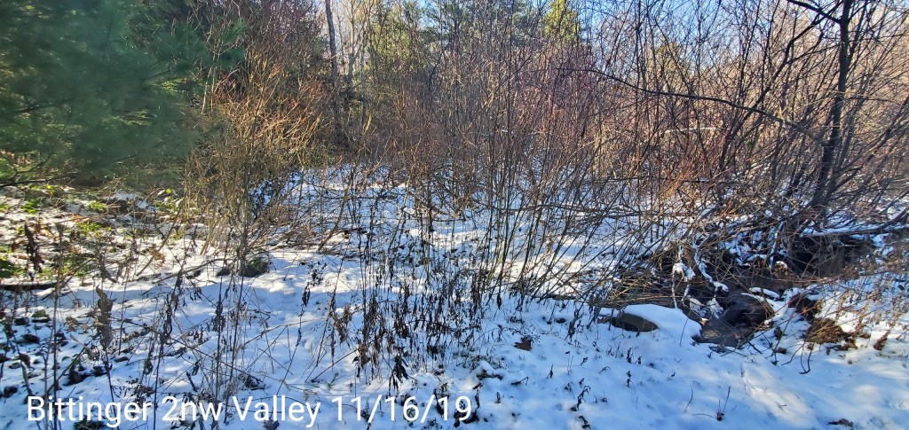
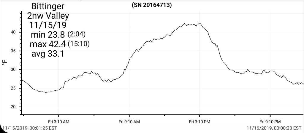
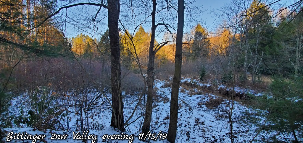
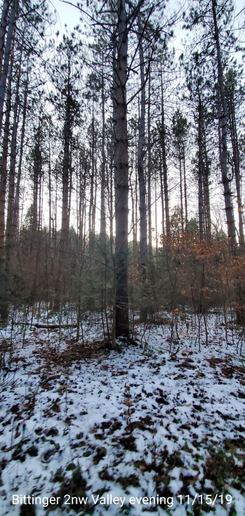
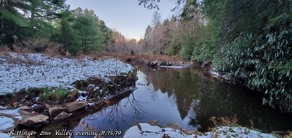
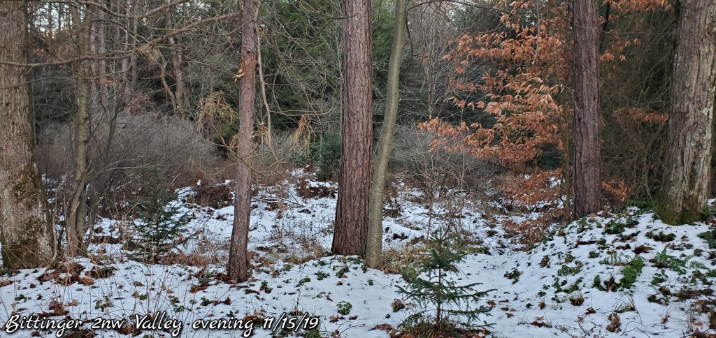
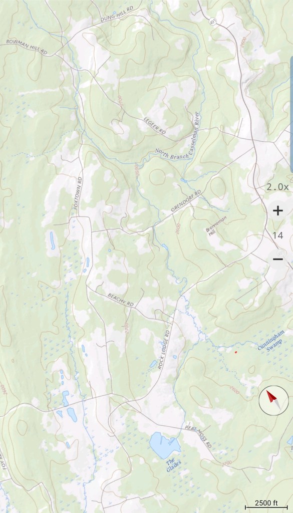
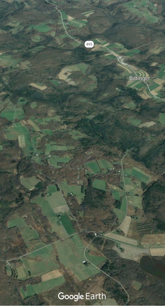
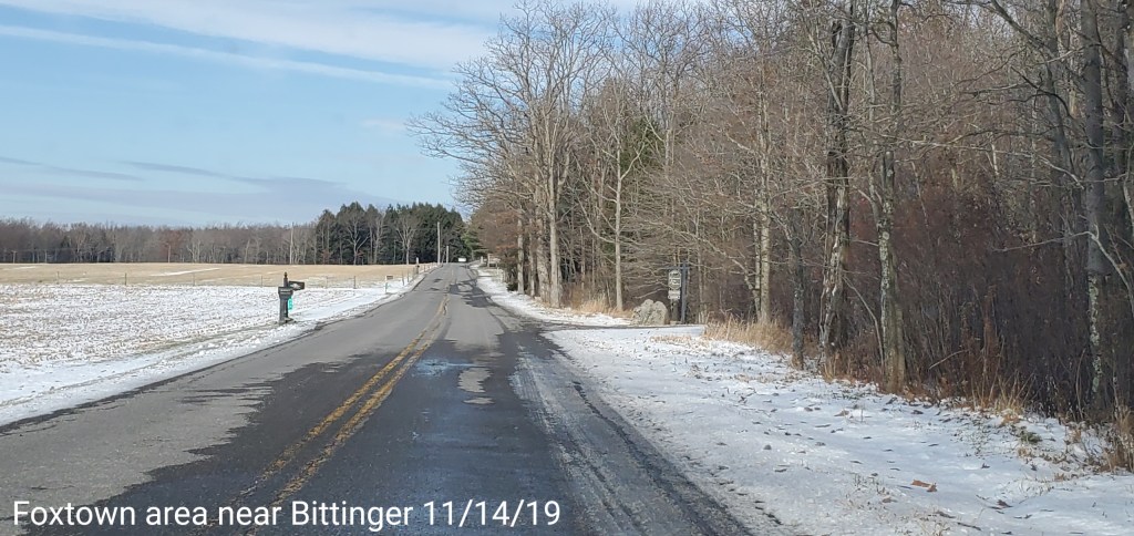
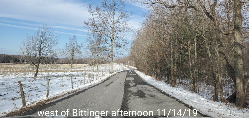
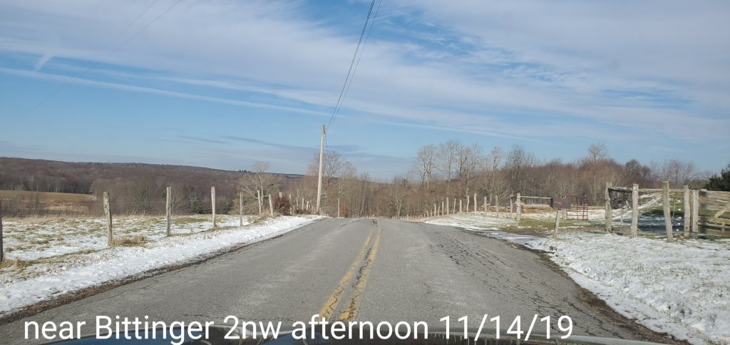
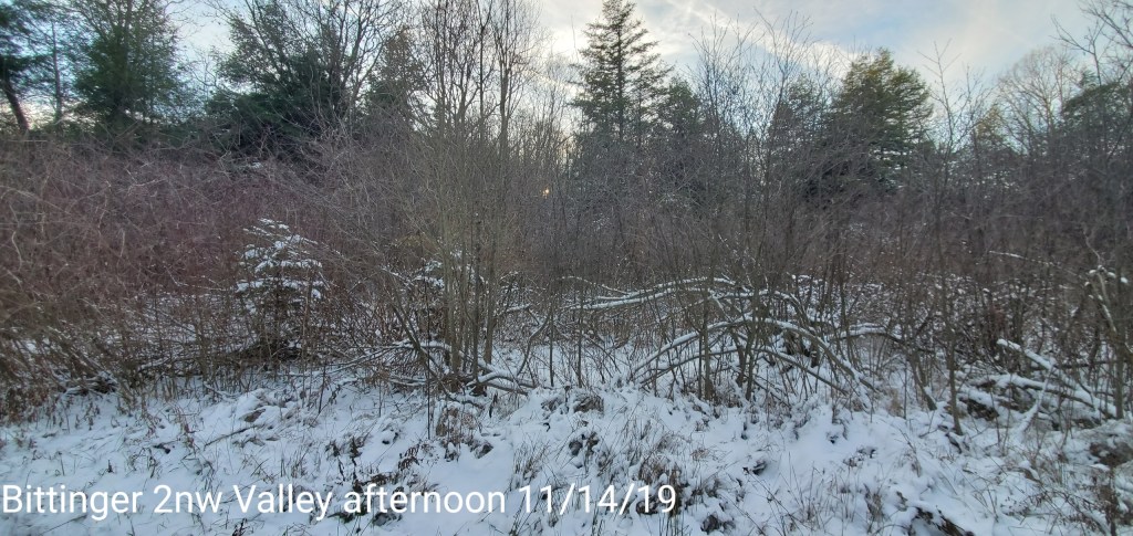
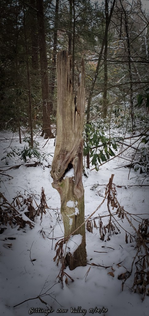
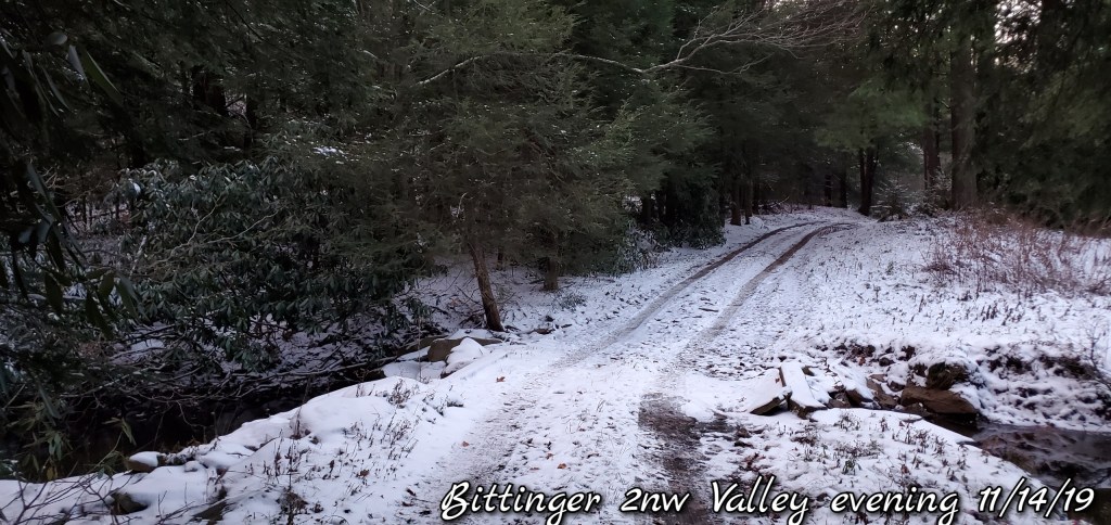
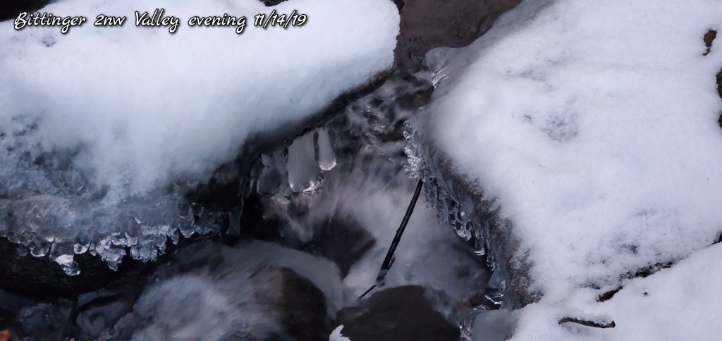
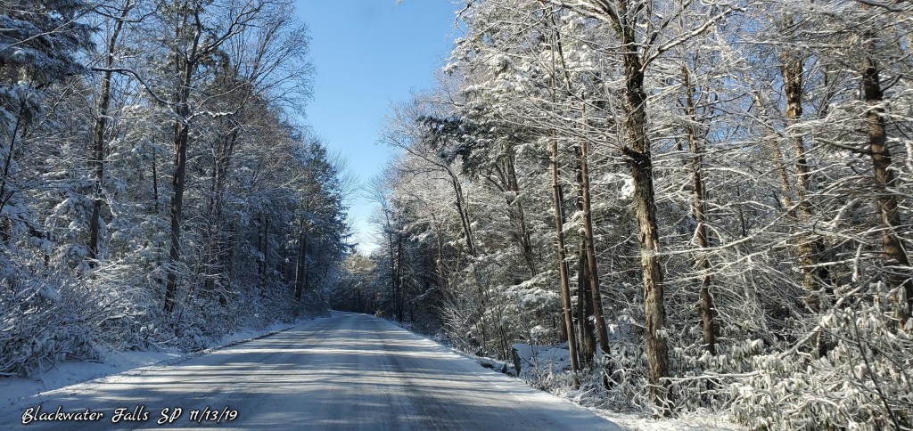
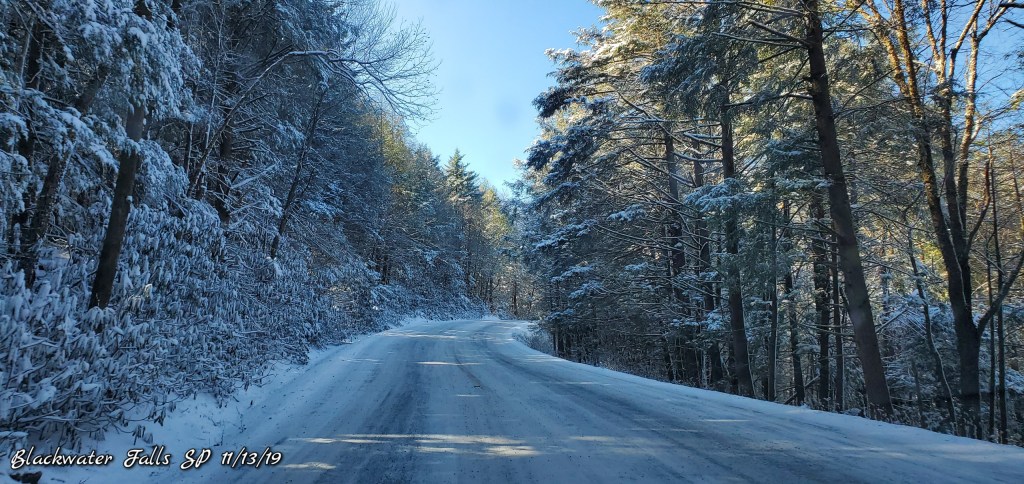
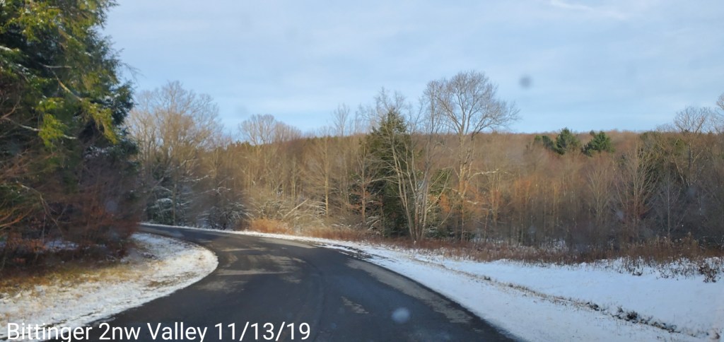
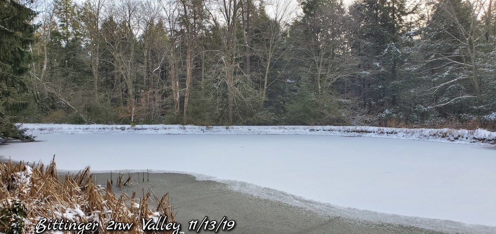
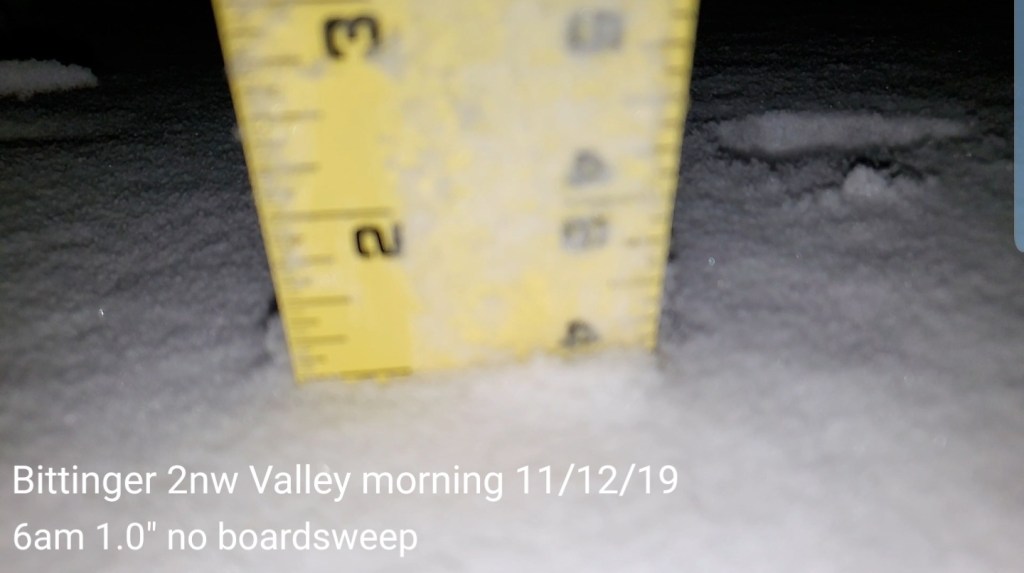
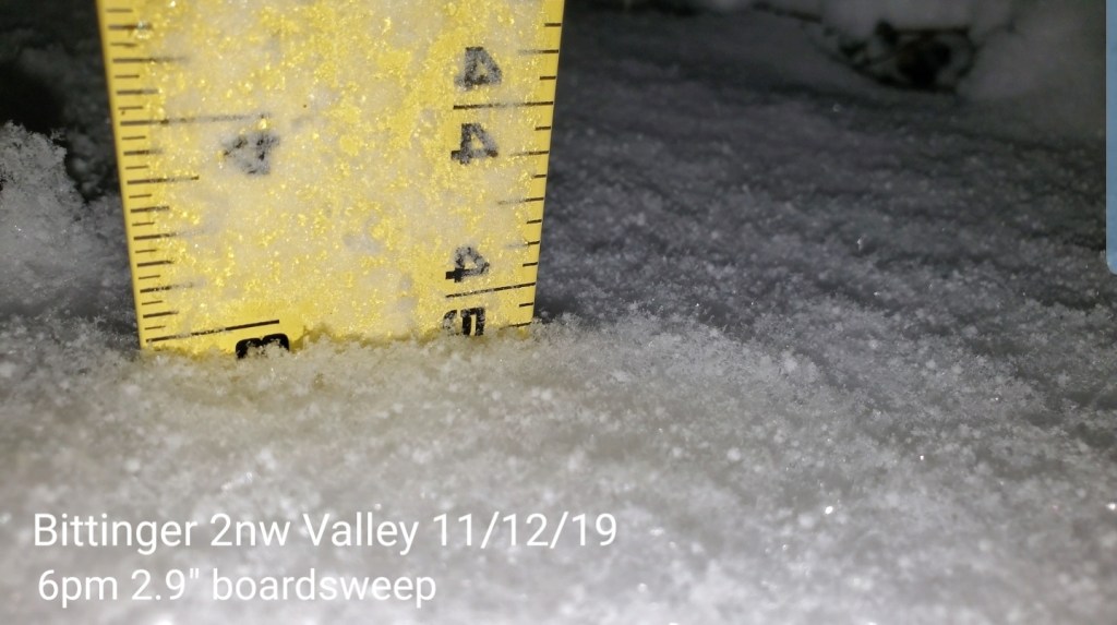
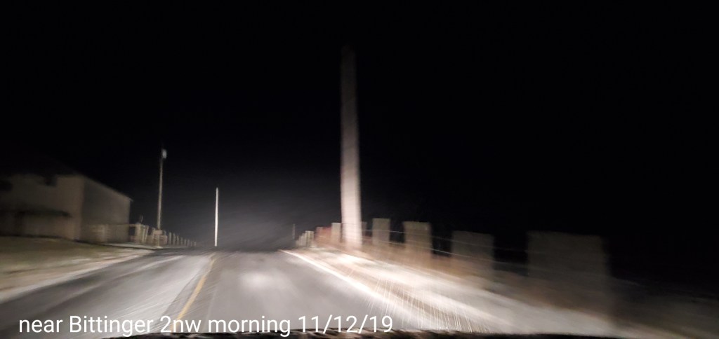
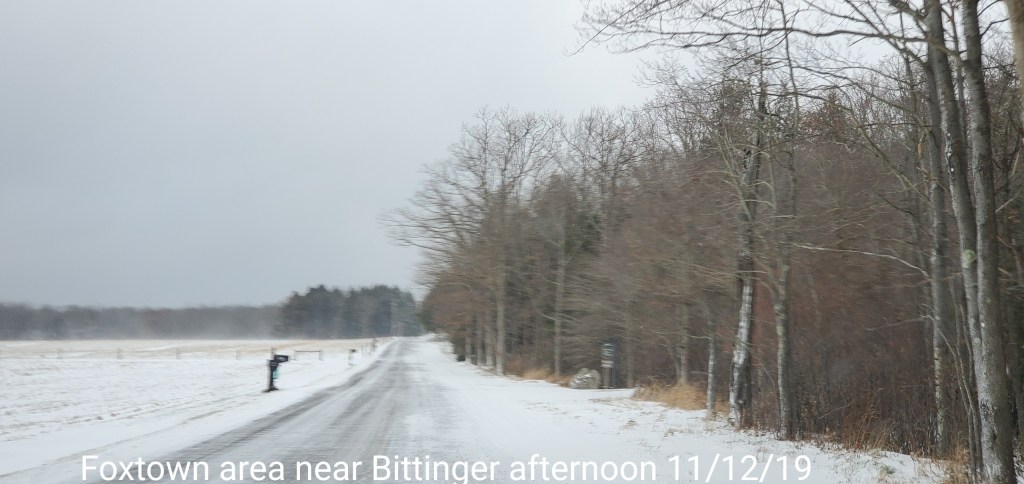
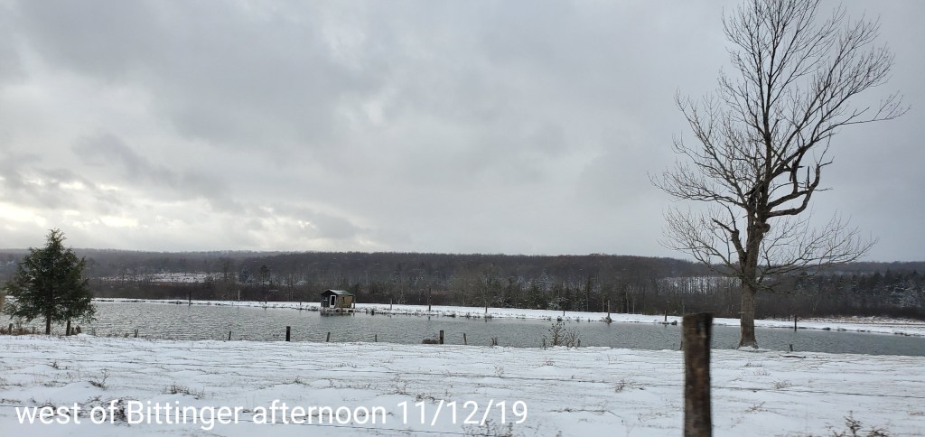
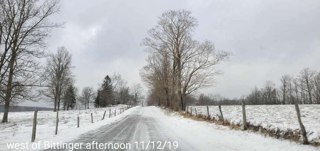
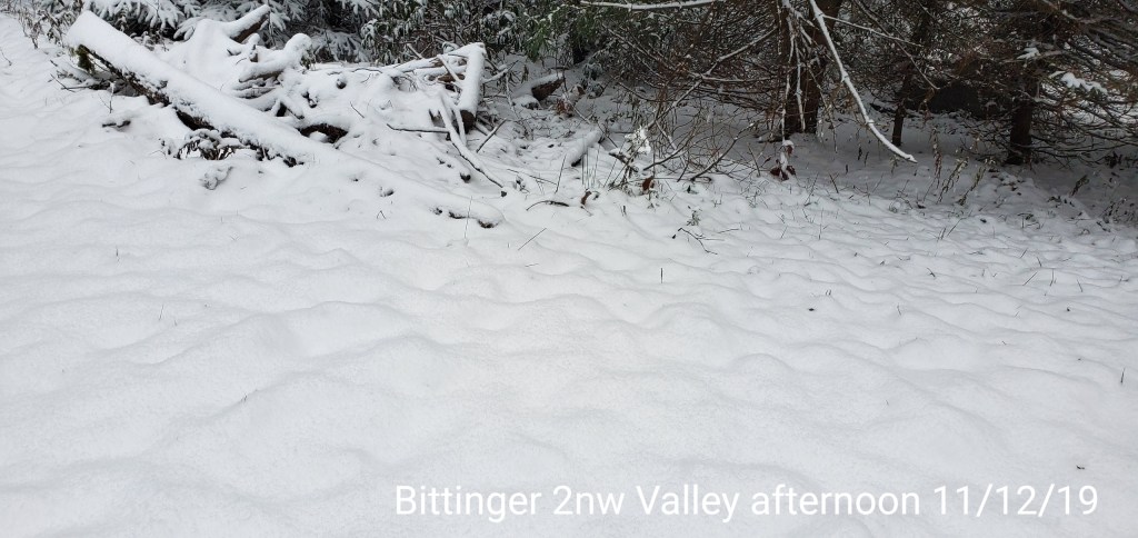
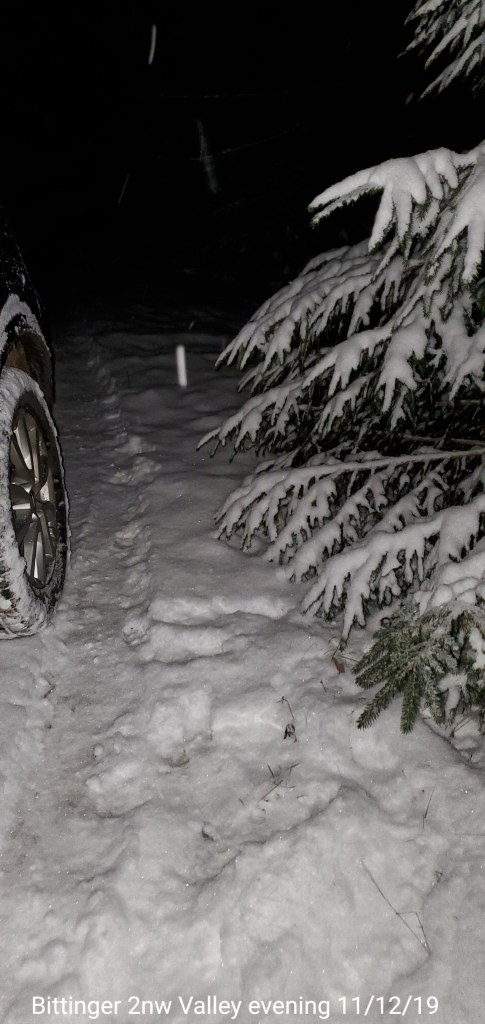
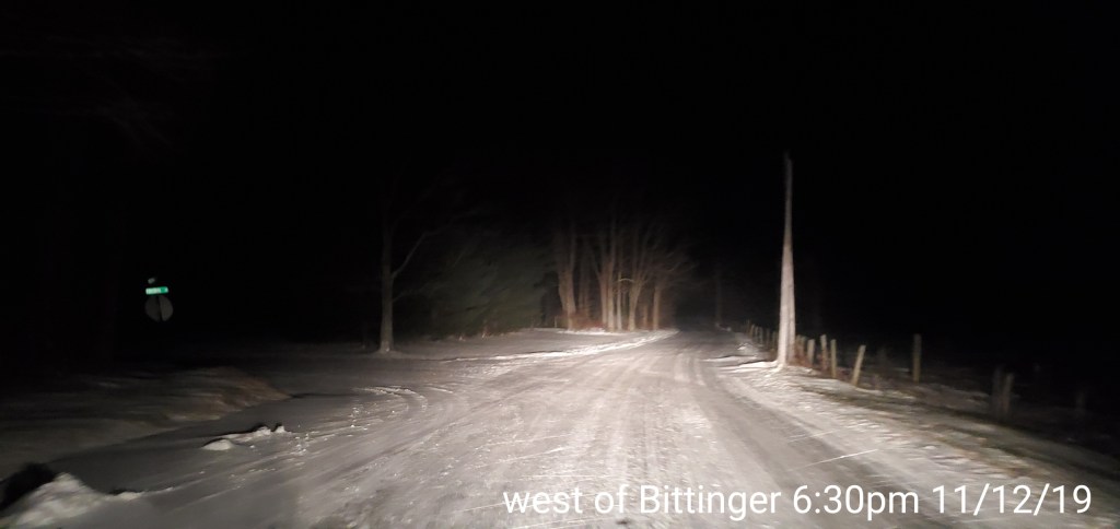
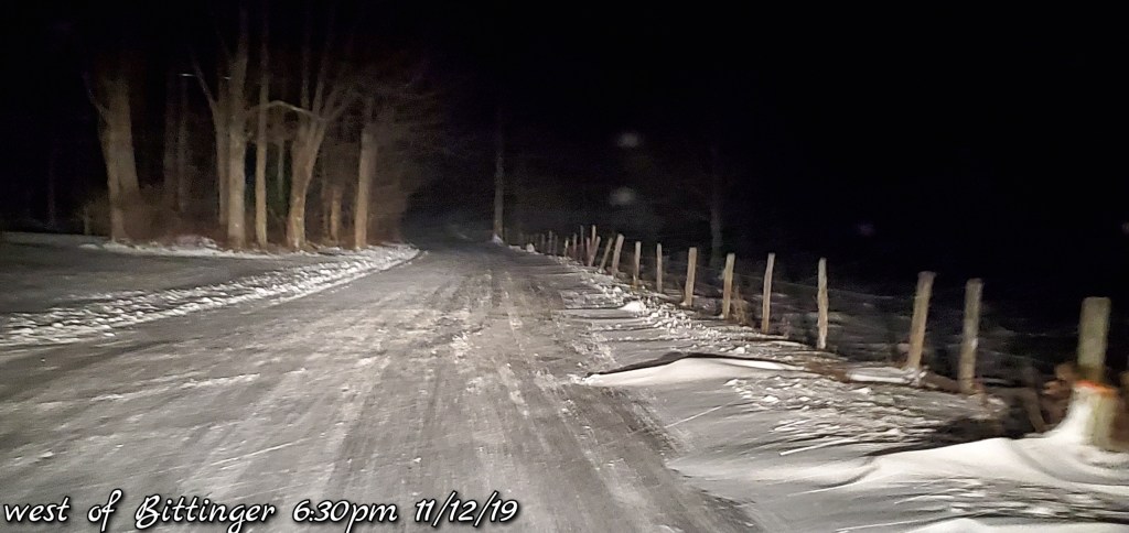
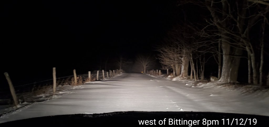
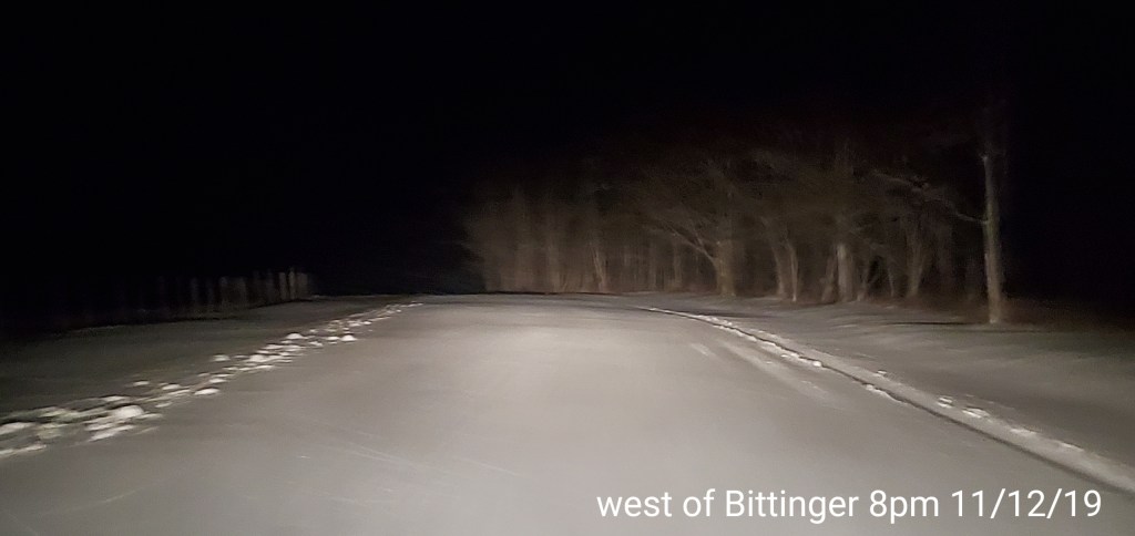
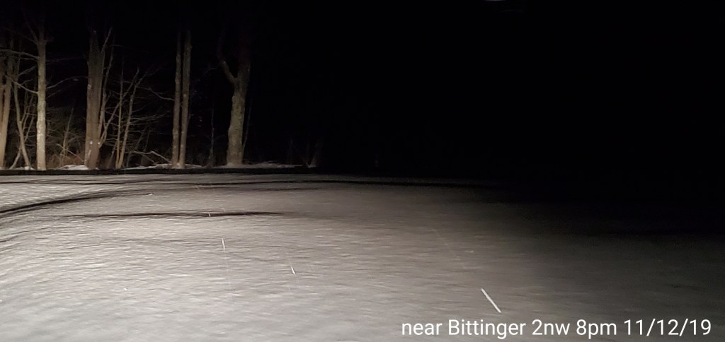
Bittinger 2nw Valley- picked up 1.3″ overnight of absolute fluff. Event total of 4.2″. A morning snowdepth of 4.0″ and a 6pm snow depth of 2.8 with cold temps today, so that gives an idea of how much fluff this was, as in- mostly air with the flakes softly landing and stacking on top each other without settling. This brings the season to date total of 4.5″
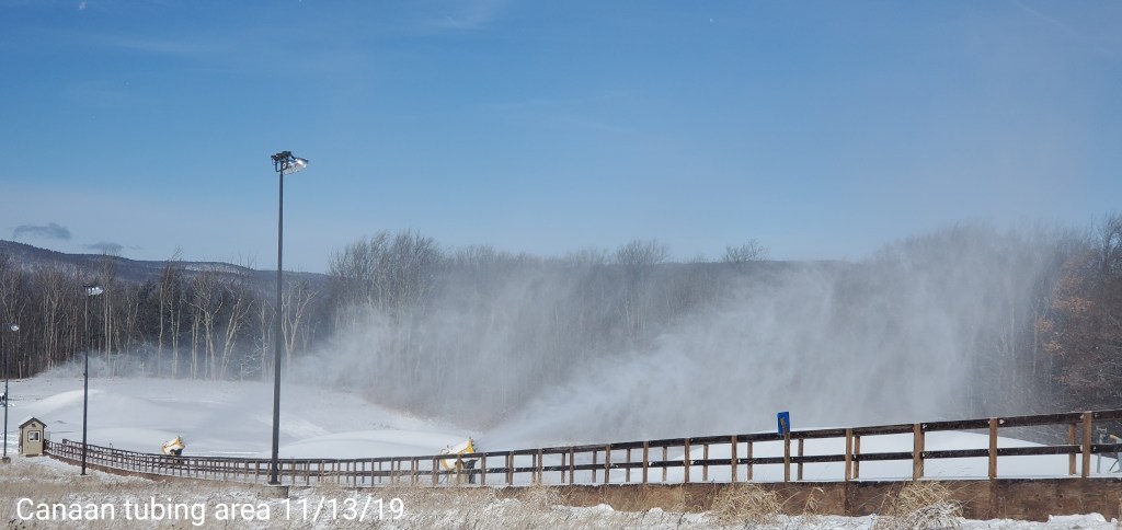
Canaan Heights_Davis 3SE picked up 5.2″ event total 5.9″ and year to date 6.9″
Satellite
Flow
Surface features and 500mb height anomalies and flow
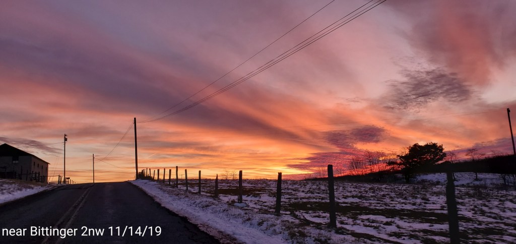
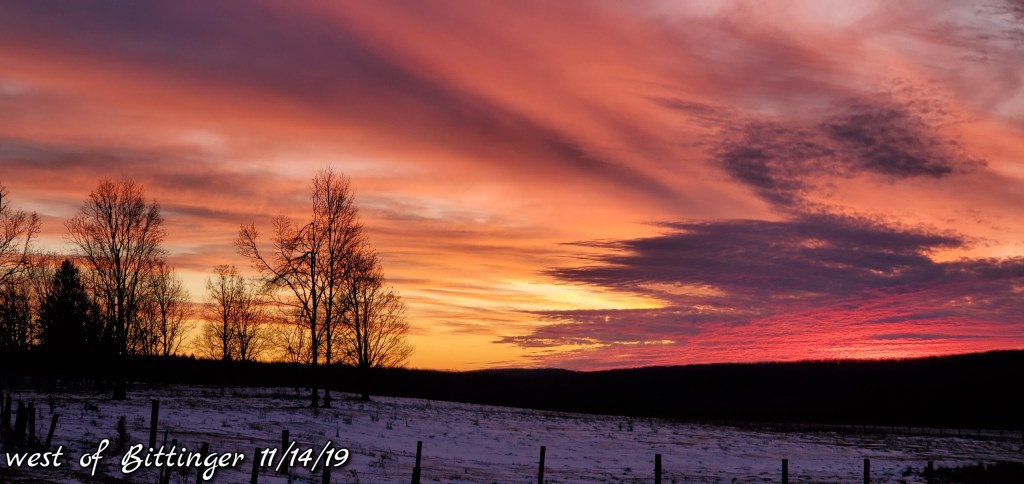
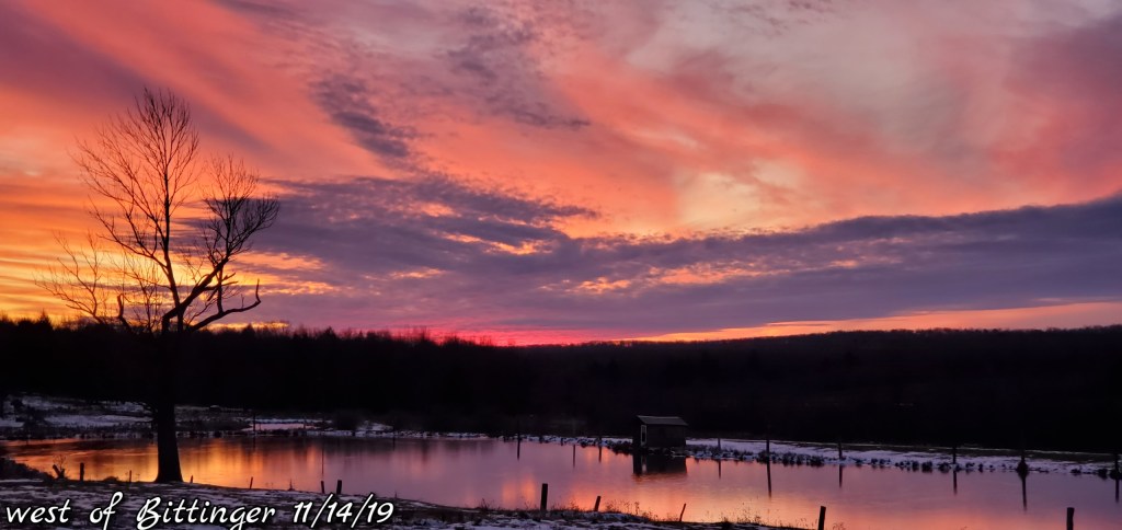
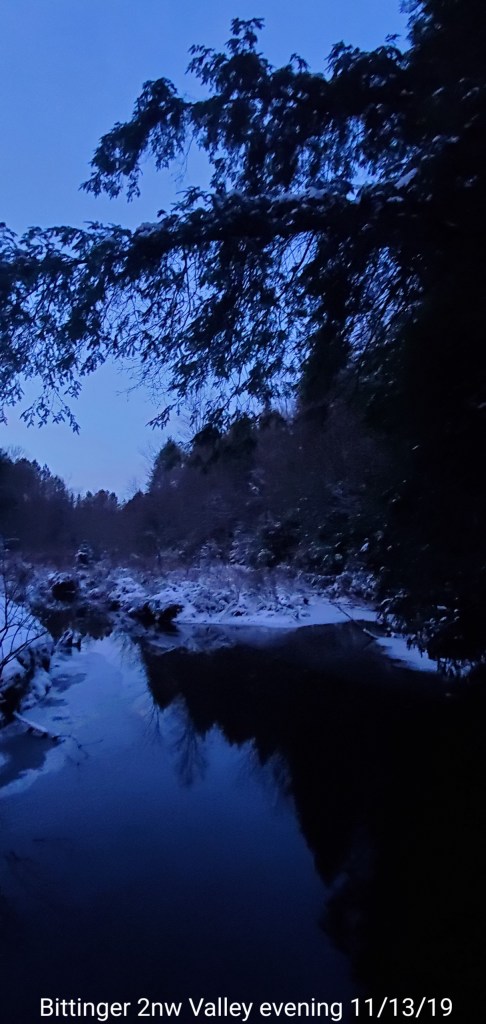
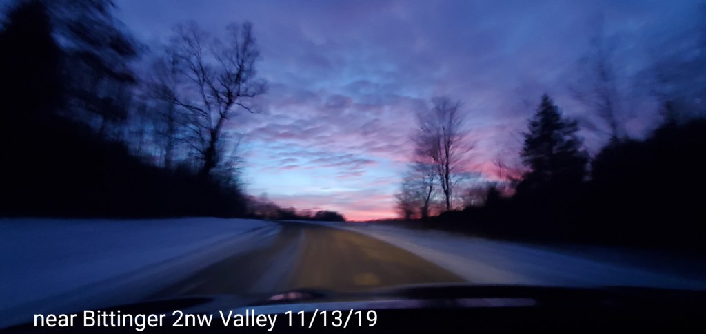
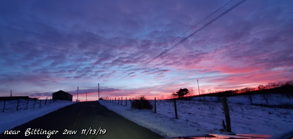
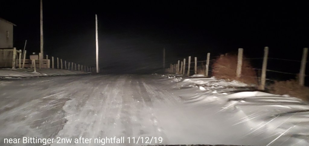
Early evening and often the case with an incoming cold front with precip, conditions go calm in the Valley, skies- if clear or partly cloudy temps will obviously drop greater, but temps usually fall off fast, then rise fast ahead of the front as winds increase. Case in point- the Valley last night.
Radar void, precip west moving in after midnight
Satellite
Flow
Surface features and 500mb height anomalies and flow