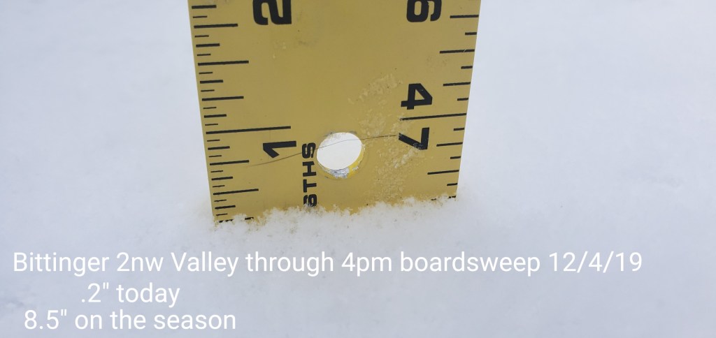
Dec 4(Wed)
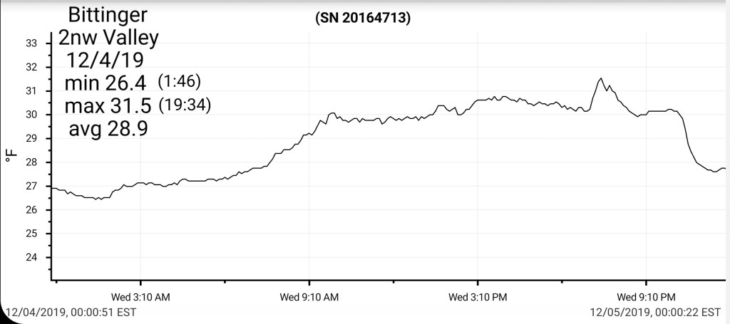
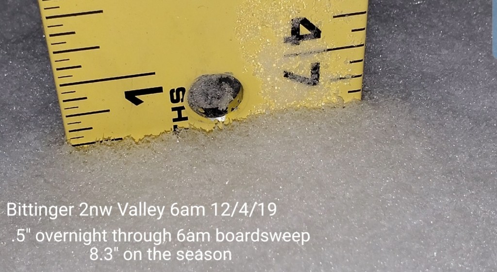
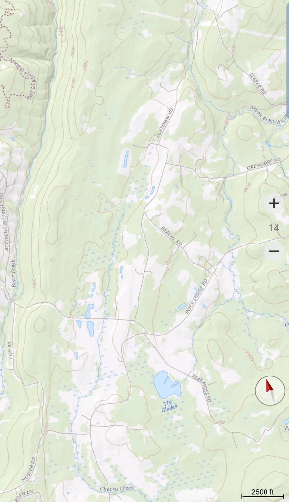
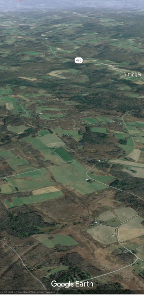
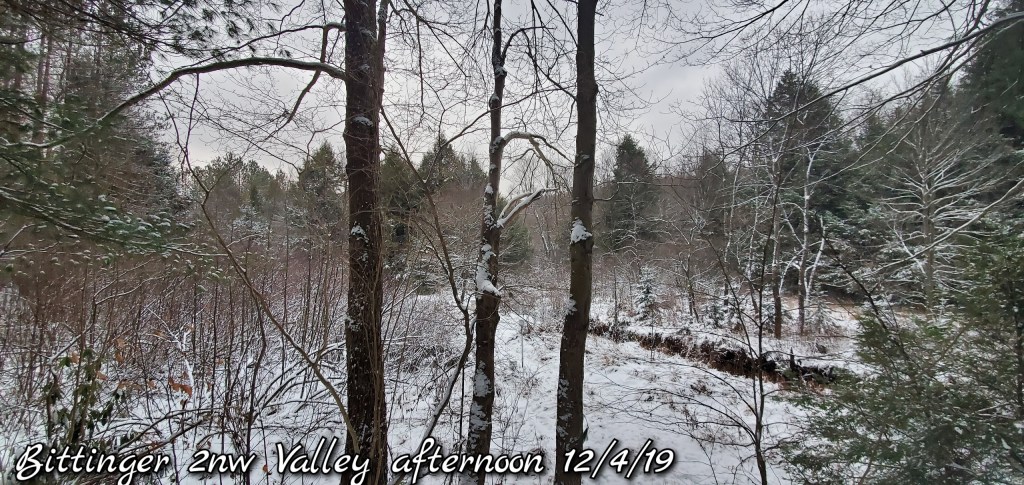
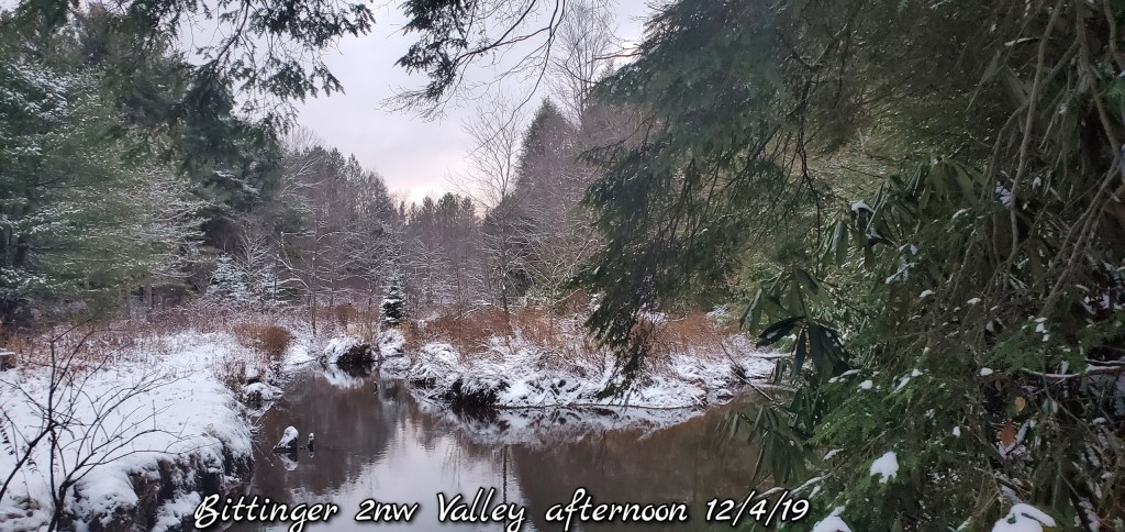
Bittinger 2nw Valley
MIN[26.4]—MAX[31.5]—AVG[28.9]—PRECIP[.03]
Snowfall- .5″ overnight through 6am boardsweep, .2″ today through 4pm boardsweep (no additional through 6pm)
Snowfall season to date 8.5″ through 6pm
Garrett College
MIN[26.3]—MAX[31.9]—AVG[29.1]

Canaan Heights/Davis 3SE
MIN[21.8]—MAX[27.8]—AVG[24.8]—PRECIP[.06]
New snowfall at 7am .06
Season to date total snowfall 14.8″
Comments by Dave Lesher
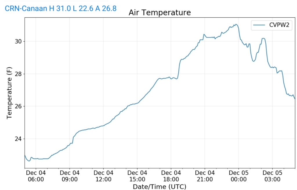
Climate Reference Network Canaan
MIN[22.6]—MAX[31.0]—AVG[26.8]—PRECIP[.25]
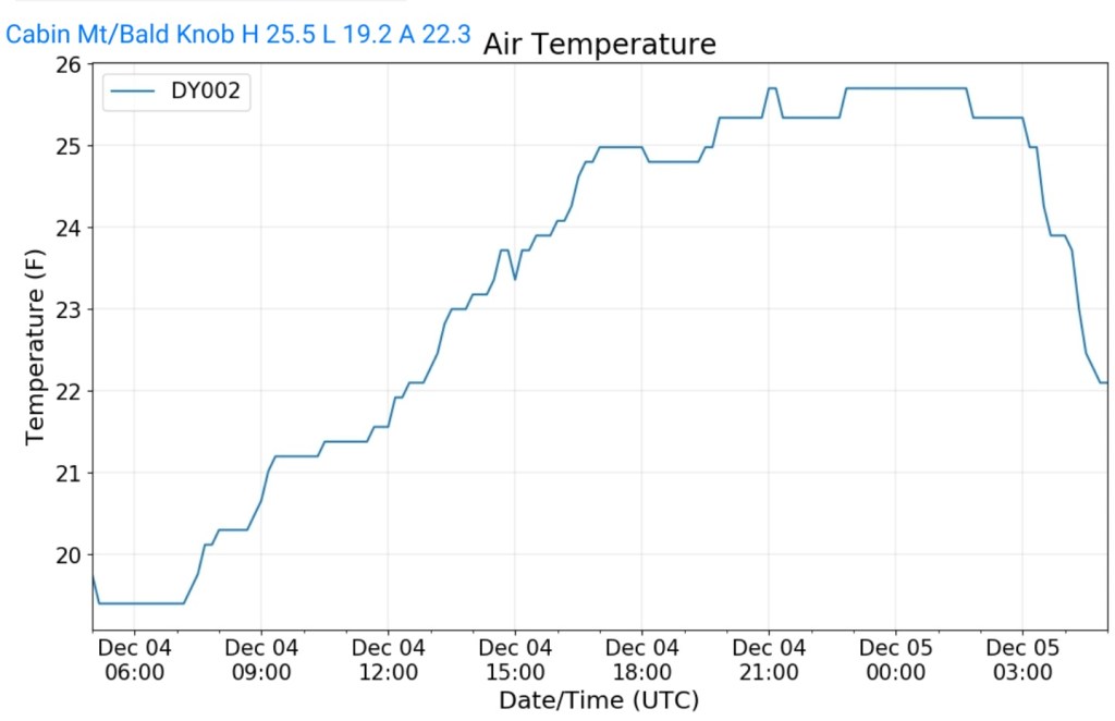
Cabin Mt at Bald Knob
MIN[19.2]—MAX[25.5]—AVG[22.3]—PRECIP[F]
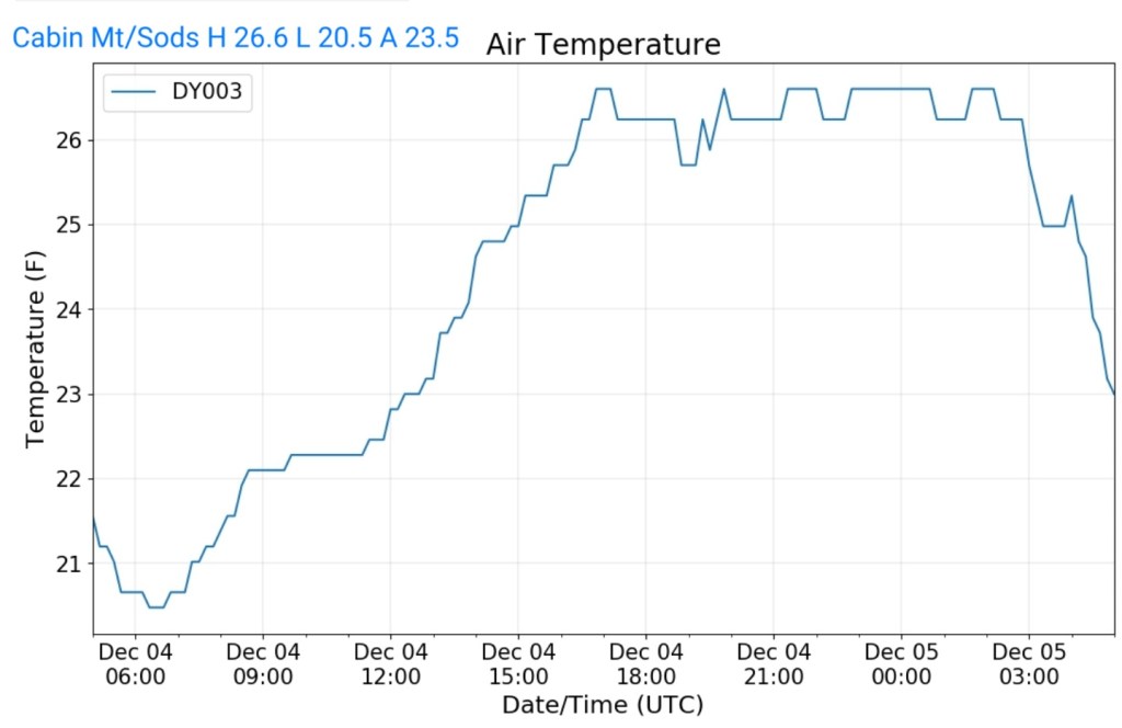
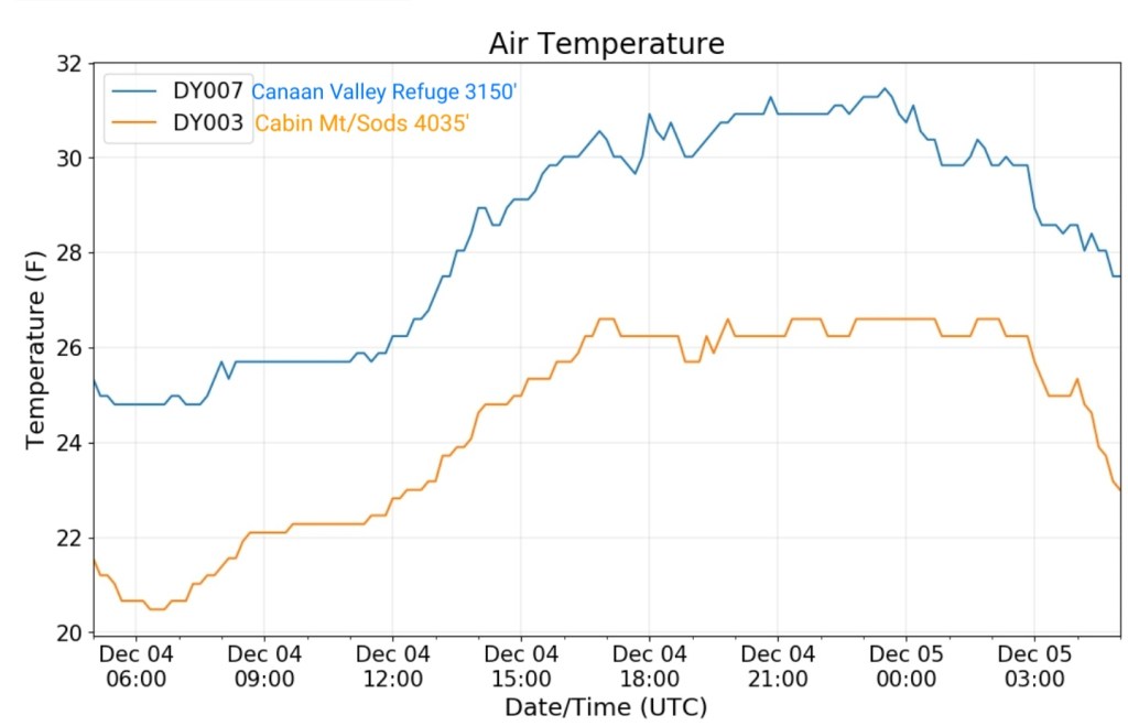
Cabin Mt-Western Sods
MIN[20.5]—MAX[26.6]—AVG[23.5]—PRECIP[F]
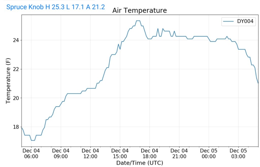
Spruce Knob
MIN[17.1]—MAX[25.3]—AVG[21.2]—PRECIP[F]
Snowshoe
MIN[16.7]—MAX[26.1]—AVG[21.4]

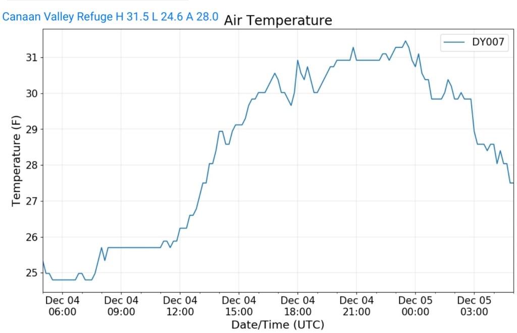
Canaan Valley Refuge
MIN[24.6]—MAX[31.5]—AVG[28.0]
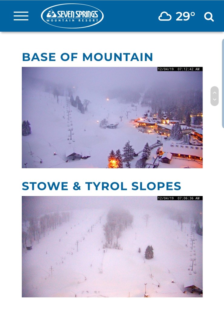
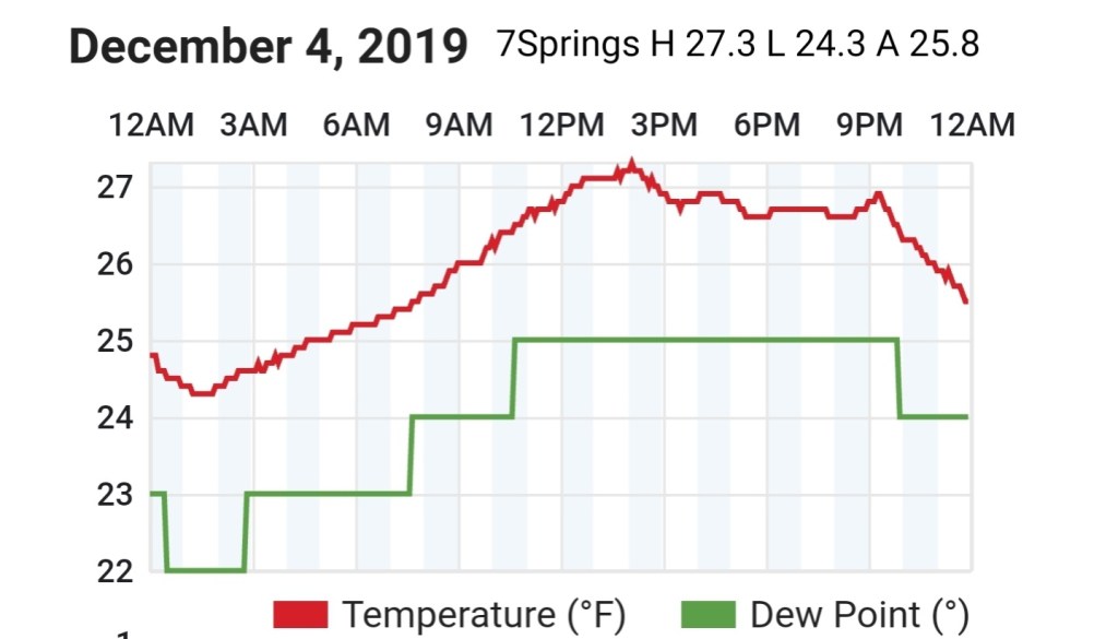
7Springs
MIN[24.3]—MAX[27.3]—AVG[25.8]
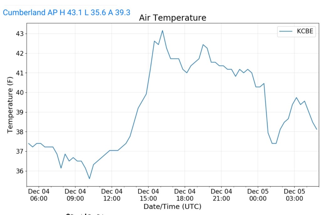
Cumberland Airport
MIN[35.6]—MAX[43.1]—AVG[39.3]
The Valley vs Cabin Mt
Canaan area temps
Comparison view


RTMA
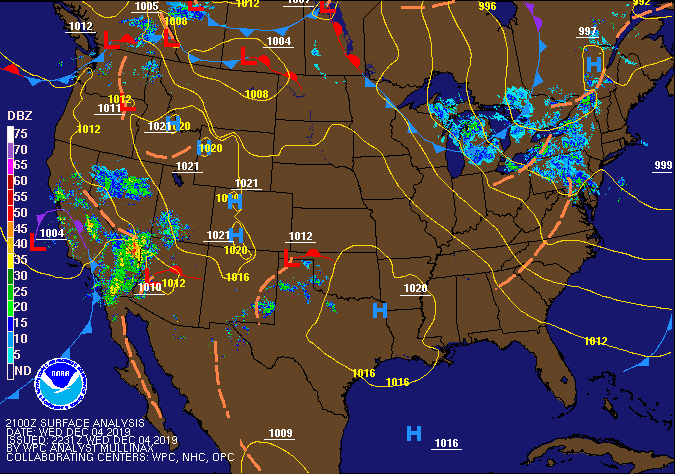
Radar
Satellite
Flow
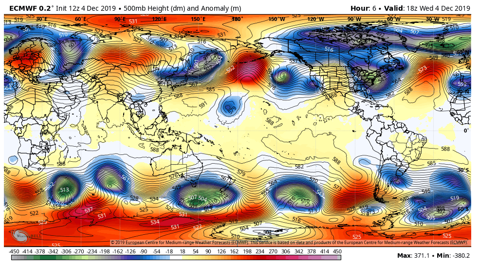
Surface features and 500mb height anomalies and flow
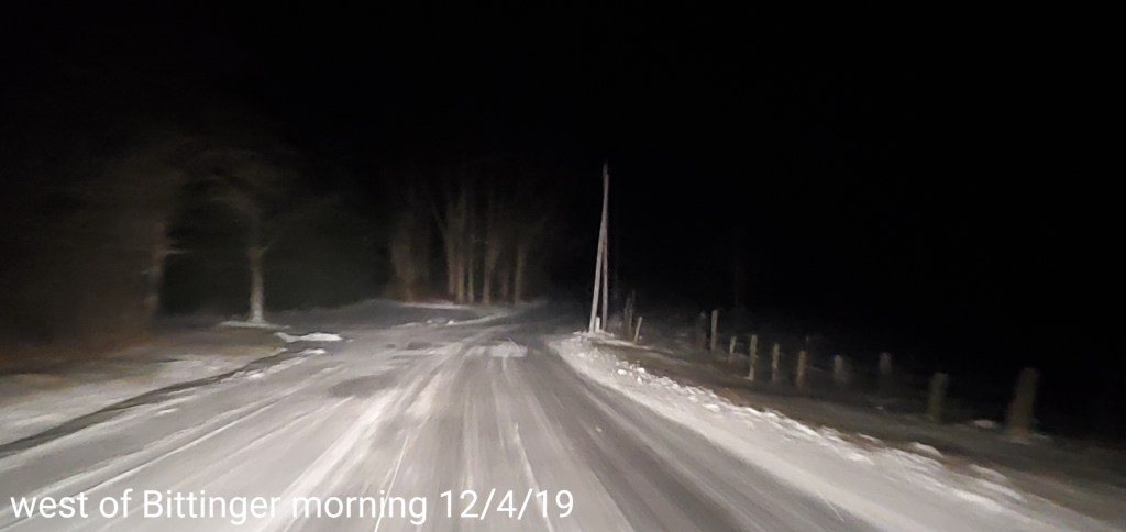
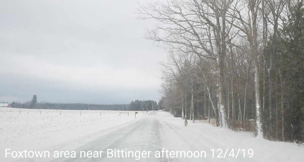
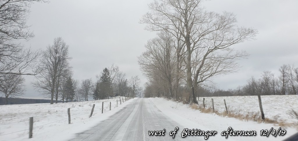
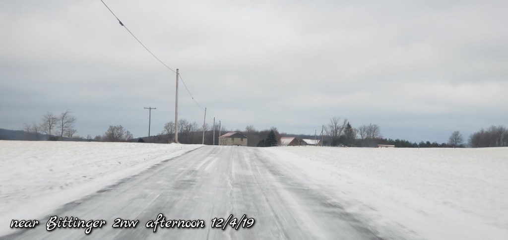
Pics today-
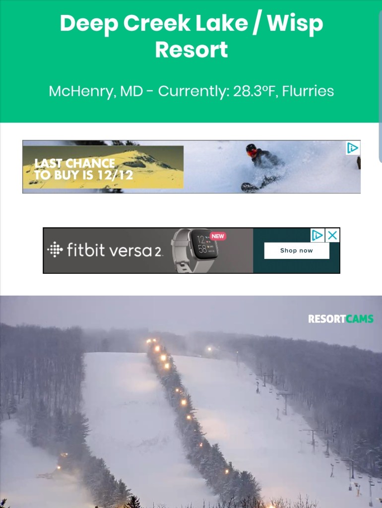
Deep Creek Lake to the Bittinger area
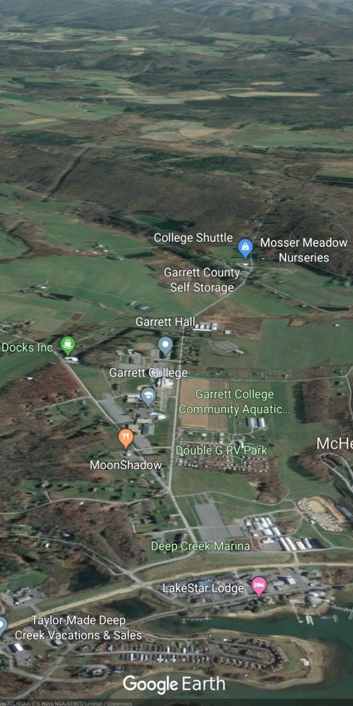


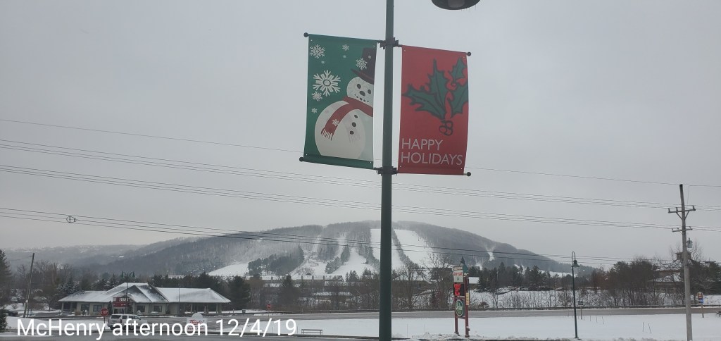
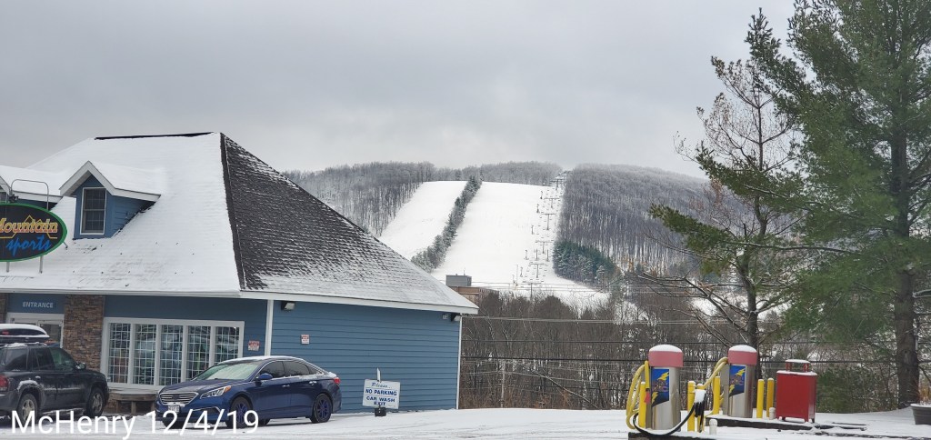
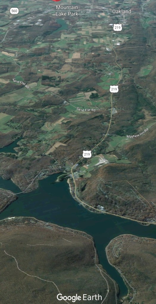
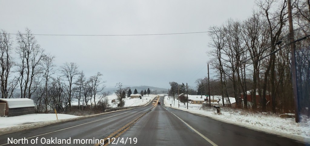
Deep Creek Lake towards Oakland

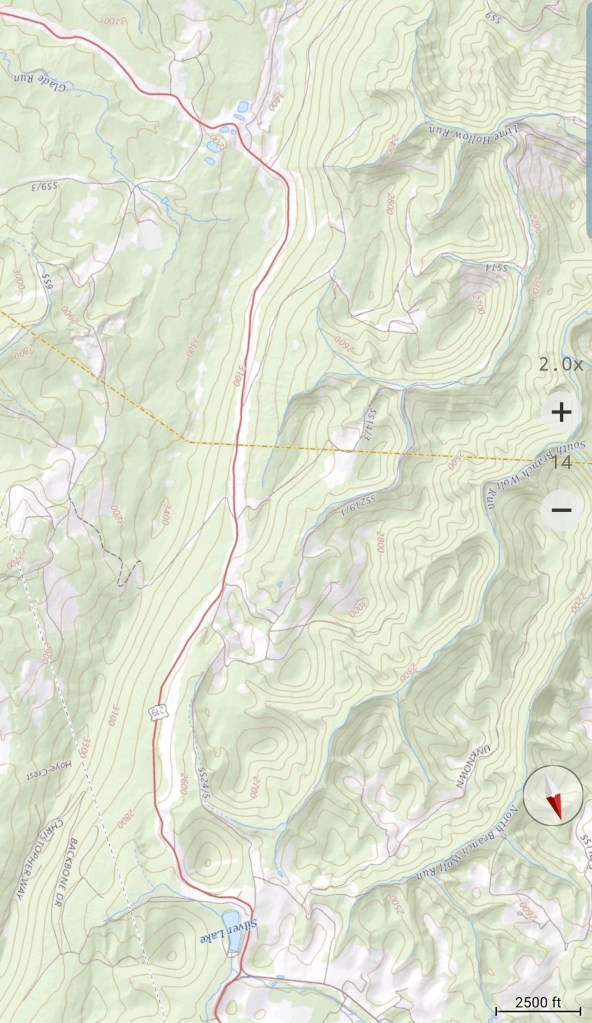
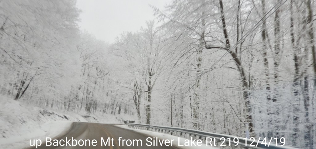
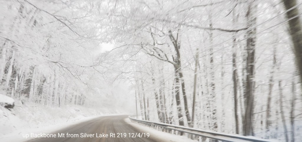
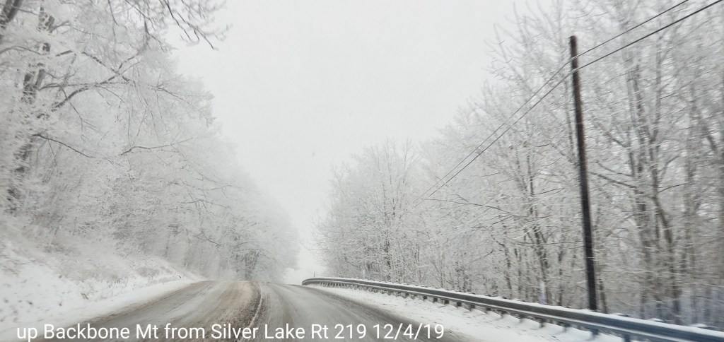
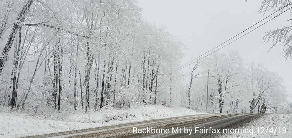
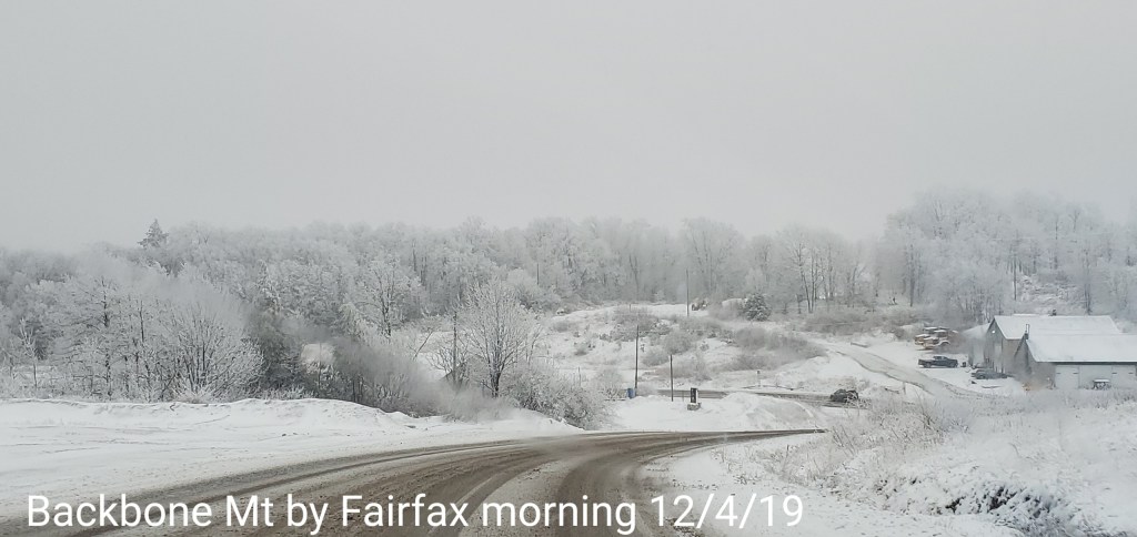
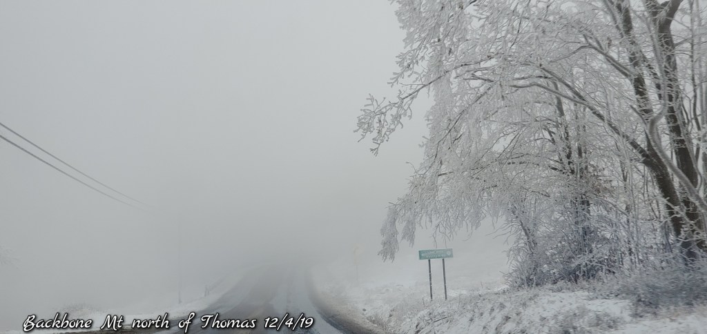
Up Backbone Mt from Silver Lake


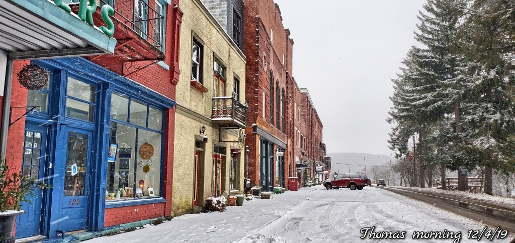
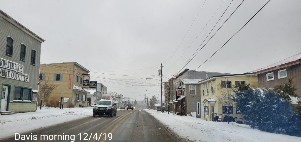
Thomas -Davis
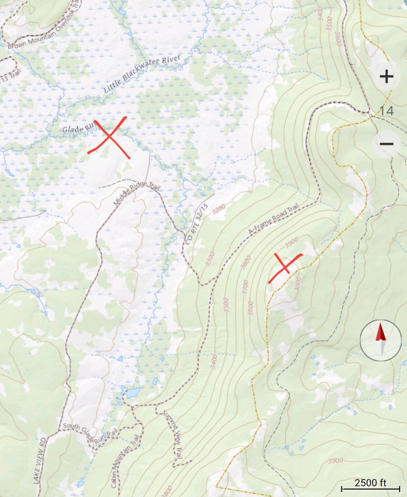
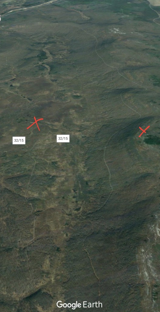
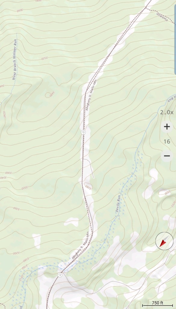
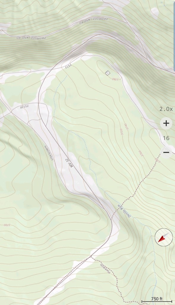
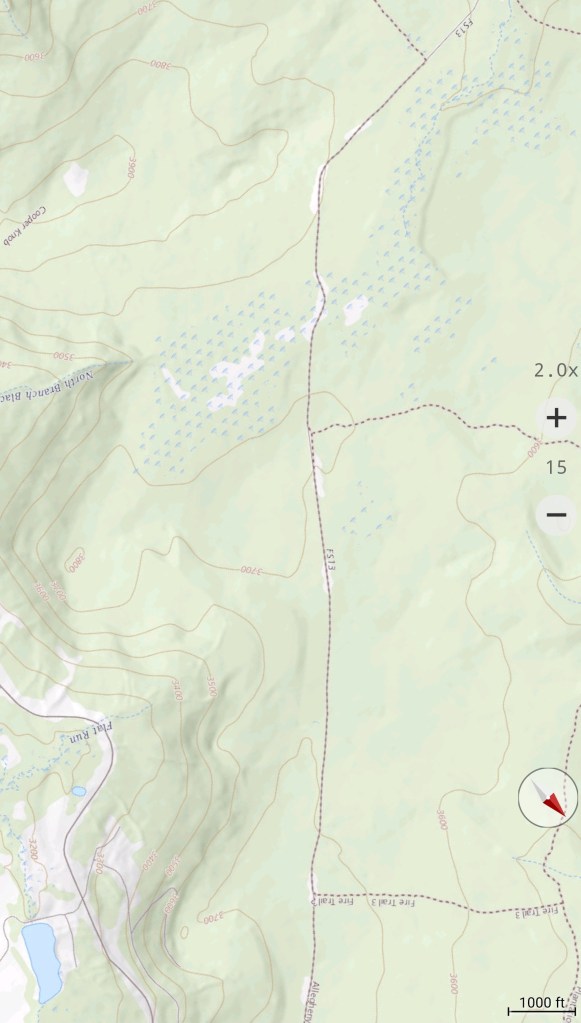
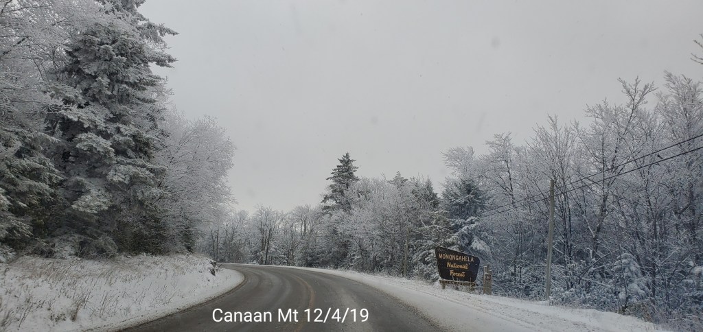
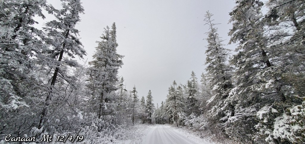
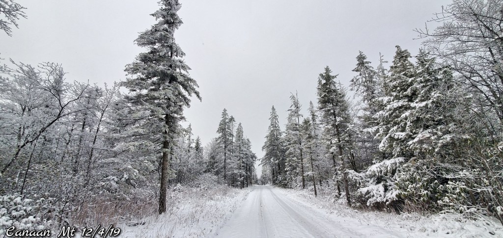
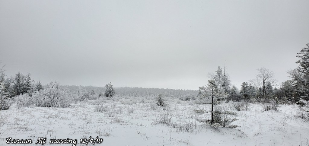
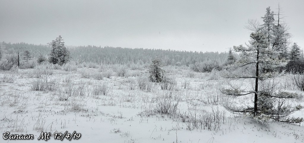
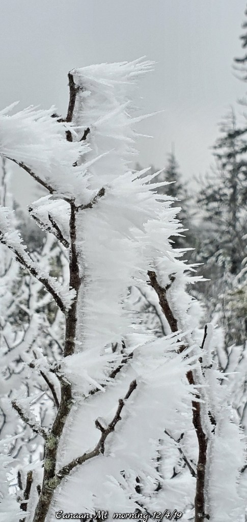
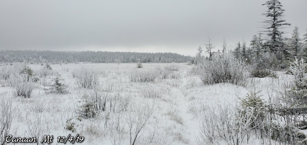
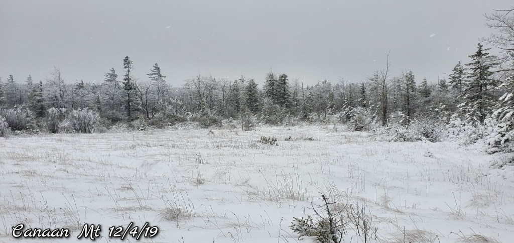
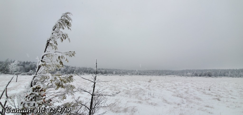
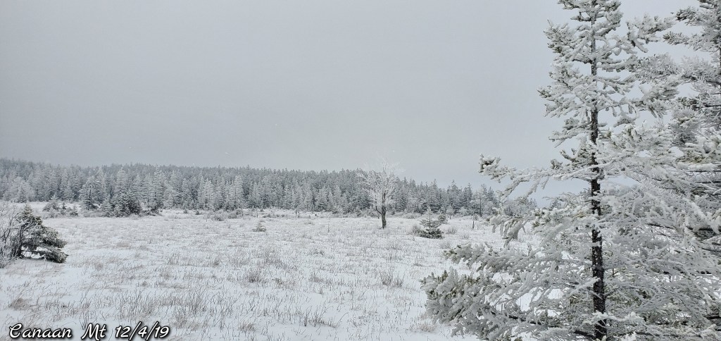
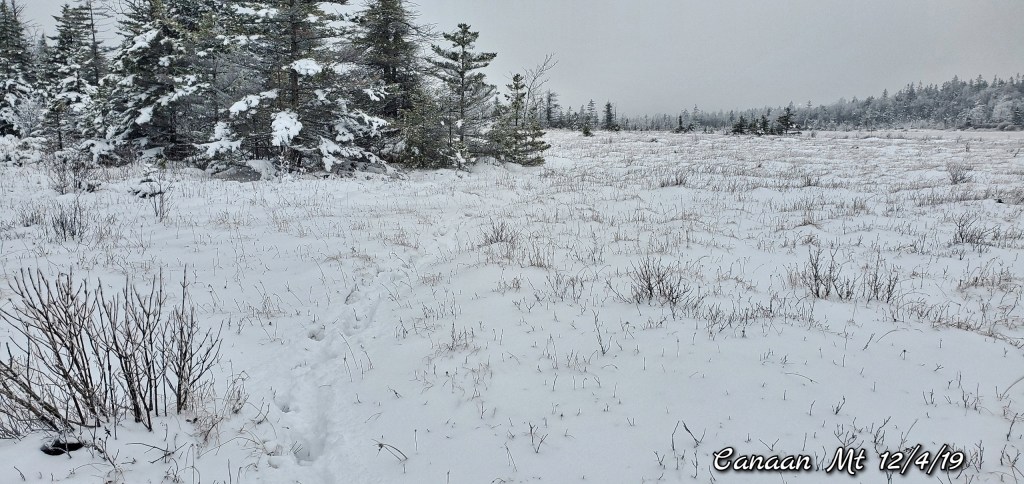
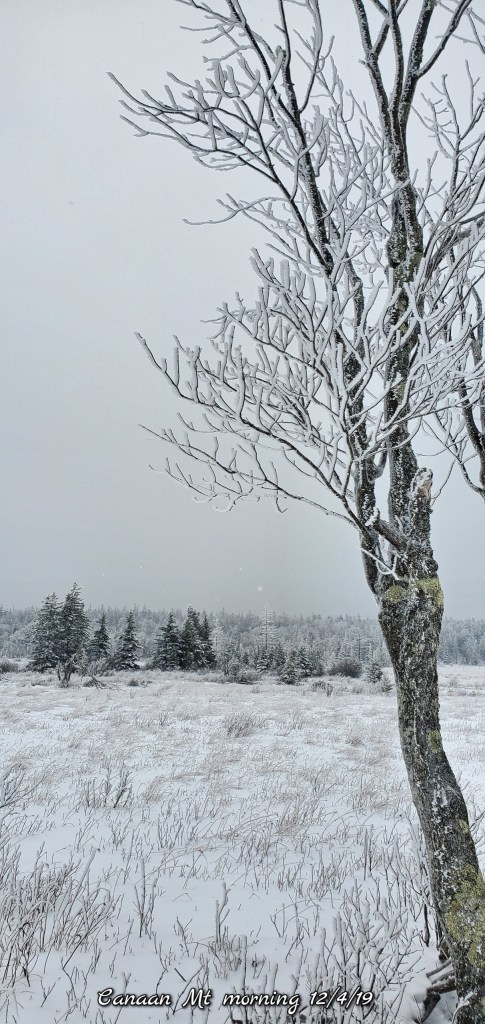
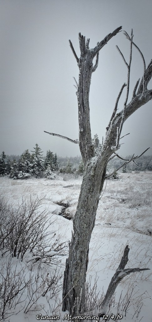
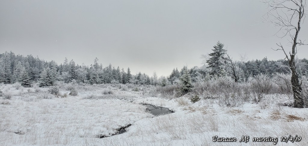
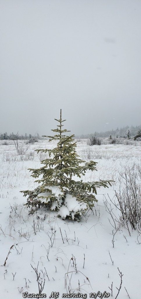
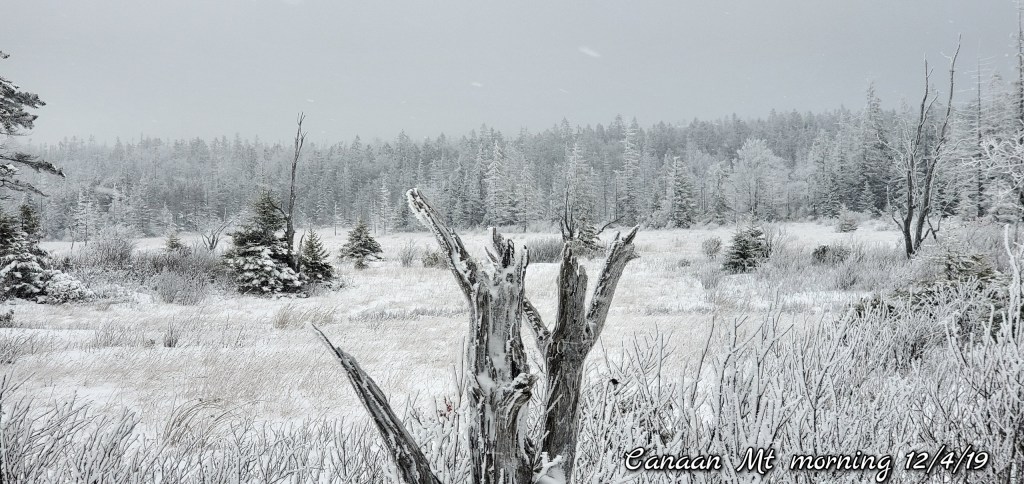
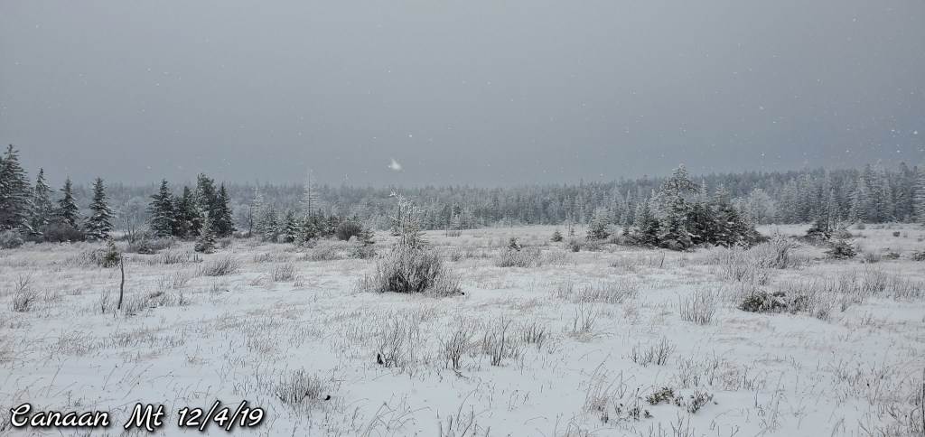
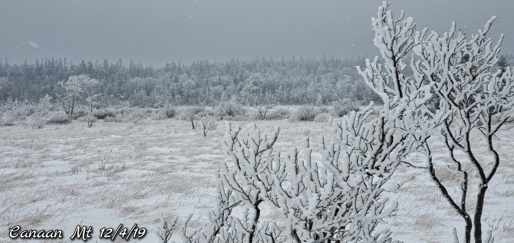
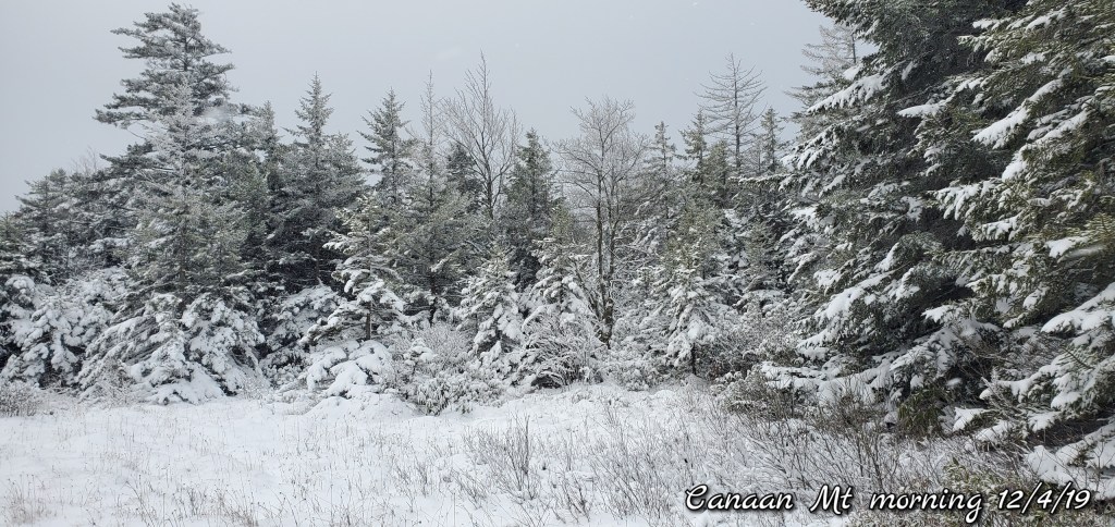
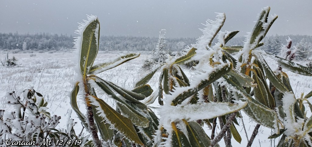
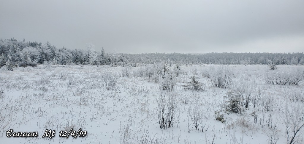
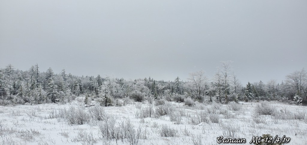
Canaan Mt- 32 and the Loop


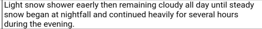
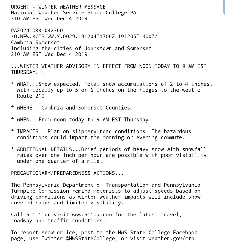
Morning outlook update:
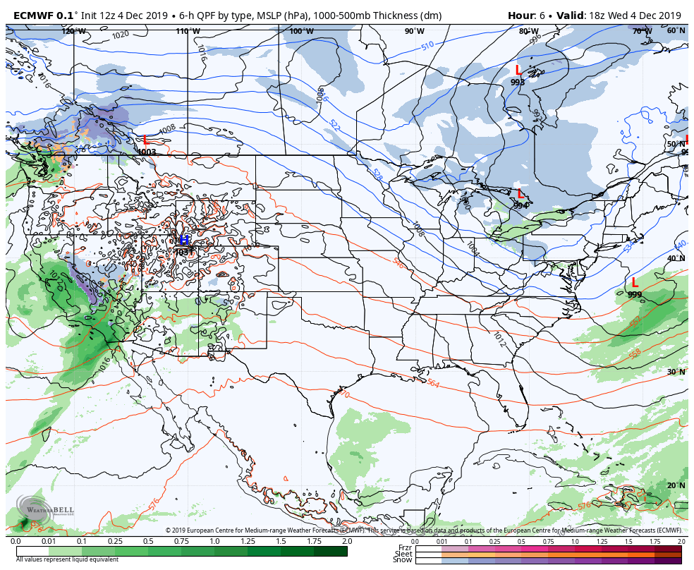
The winter look and feel holds today with light snow this morning giving way to some more steady snow this afternoon into the overnight.
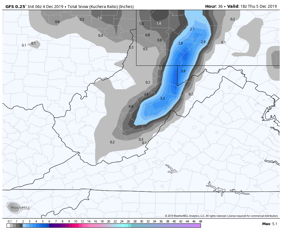
In general this looks like a 2-4″ event with a favored zone of 4-6″ popping up.
6z GFS
Snowfall amounts off the model
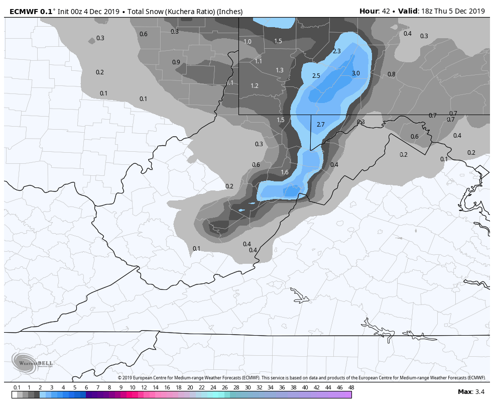
The 0z ECMWF comes in a little less, but it doesn’t always handle these type of systems great
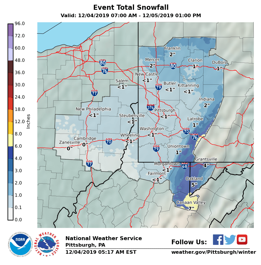
The NWS forecast
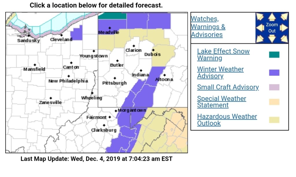
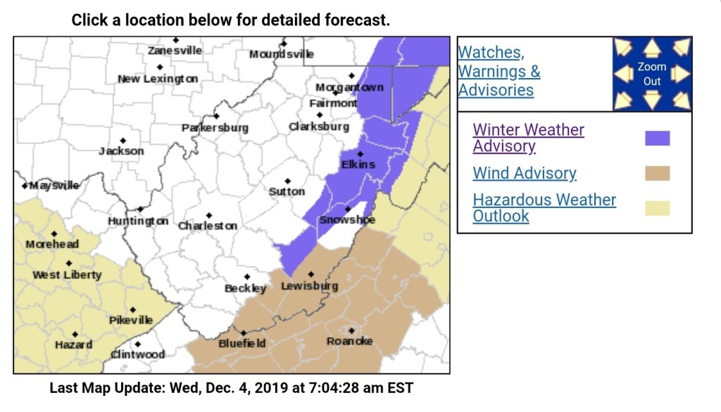

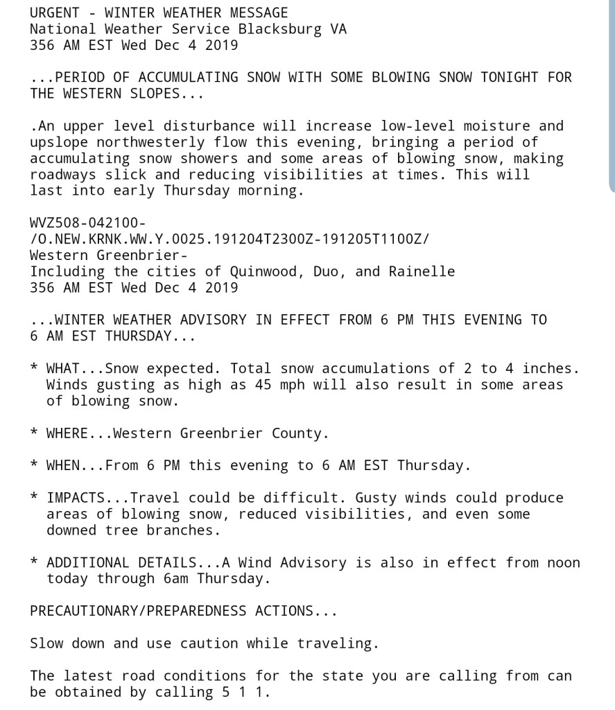
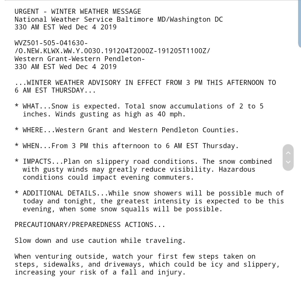

Snowfall amounts from the NWS

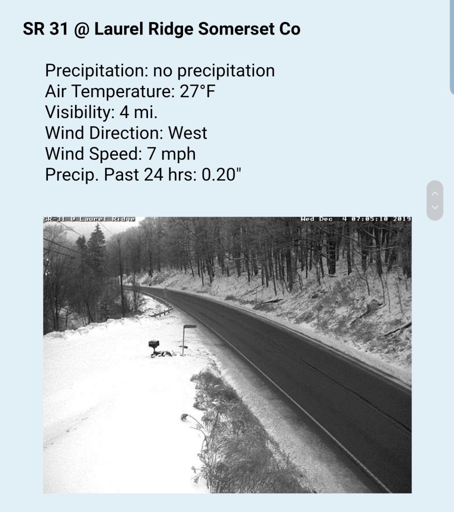
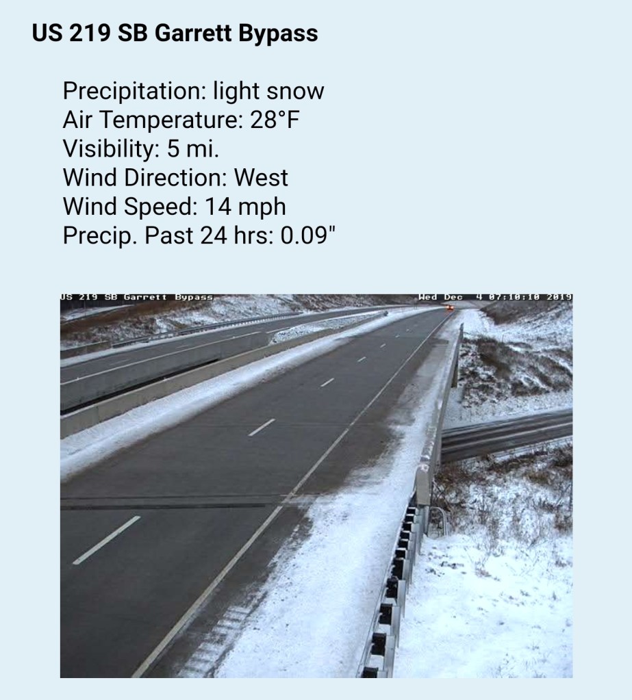
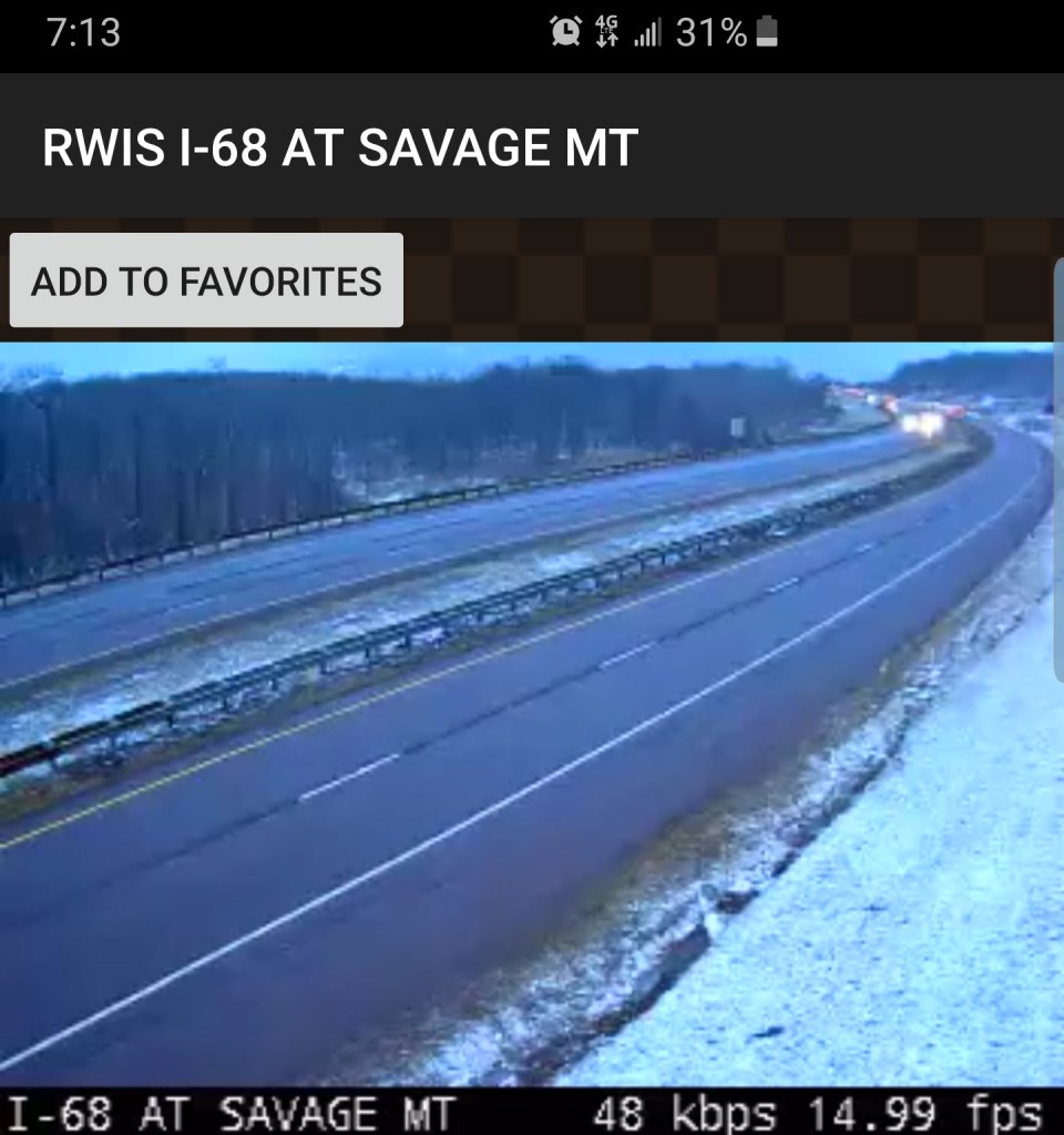
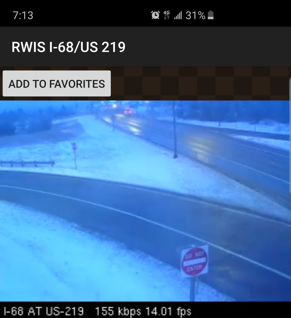
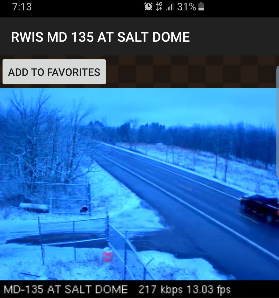
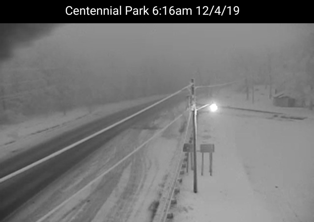
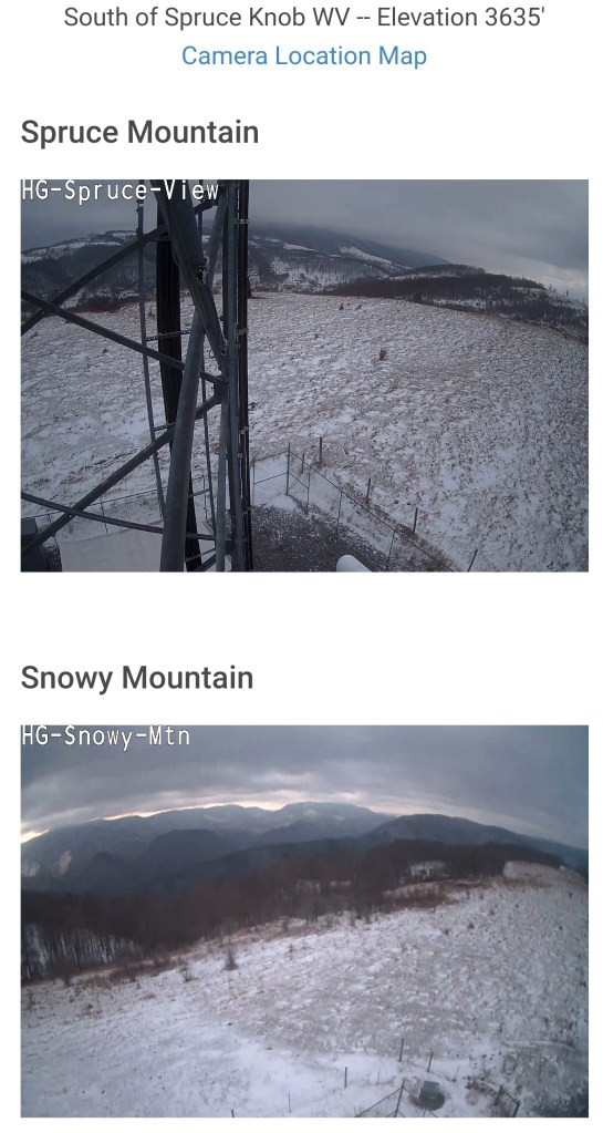
Morning cams
Roadways north to south


Resorts-7Springs, Wisp, Canaan, Snowshoe