December 9, 2019
Dec 9(Mon)
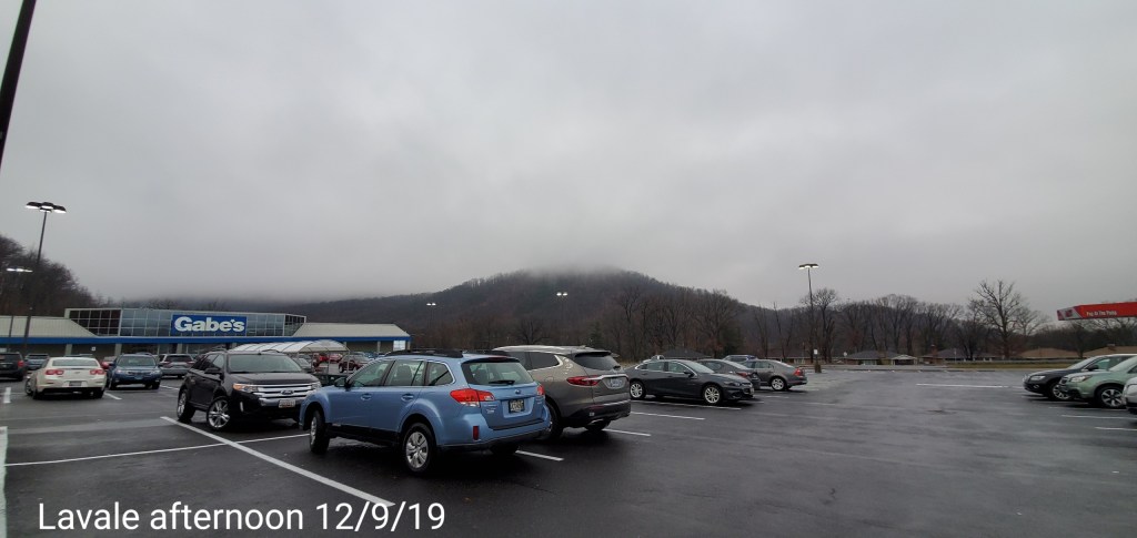
Cloudy, some fog, colder valleys. Even some of the higher more protected valleys held much colder through part of the day, enough some there may have been a few pockets of freezing. Some reports of the deeper valleys east,,reported some sleet pellets early. Temps became much warmer over all the high ground, with moderate rains, while east of the mountains held cooler
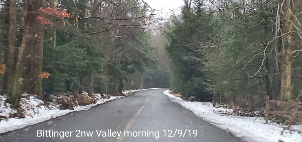
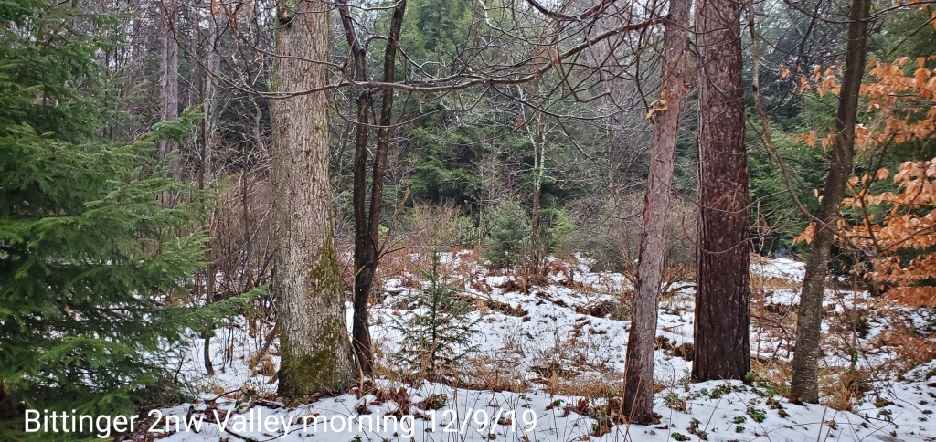
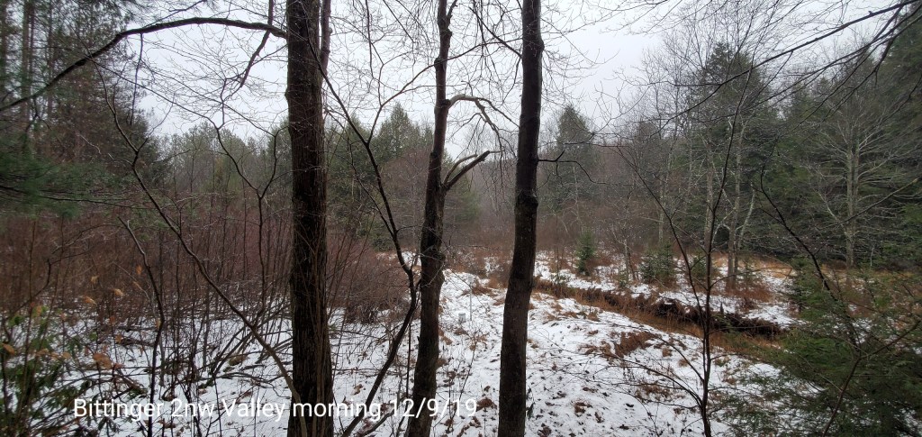
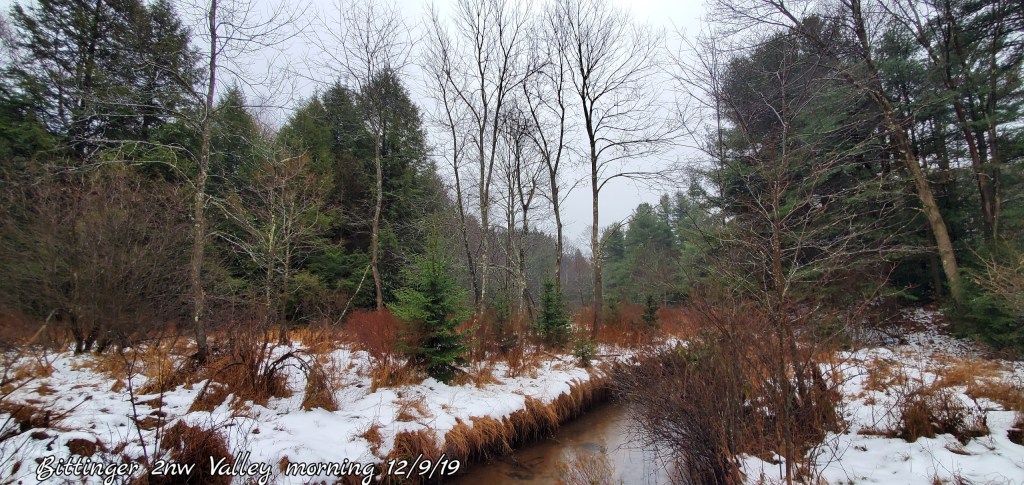
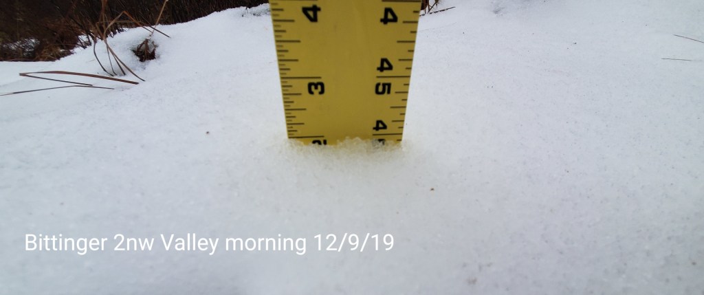
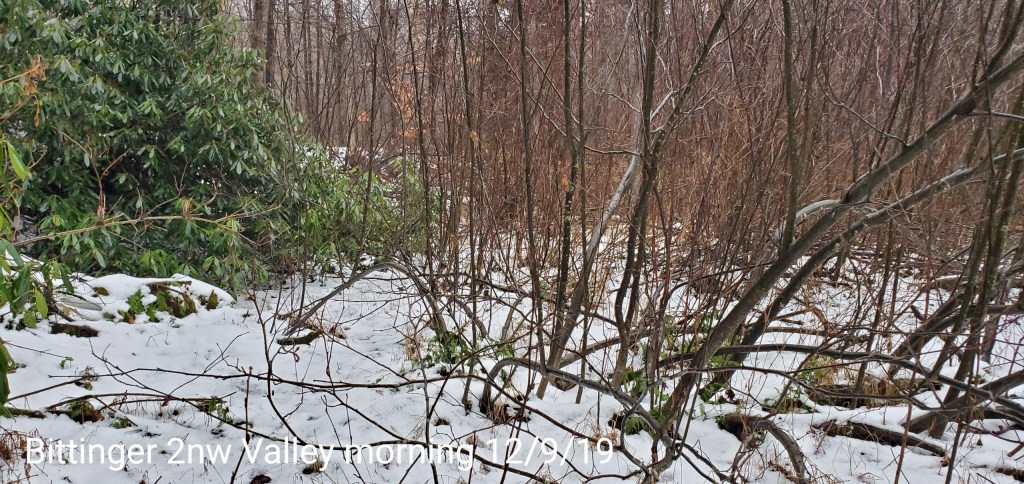
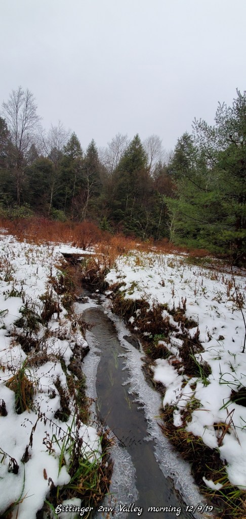
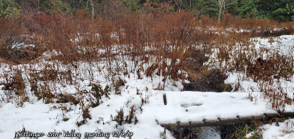
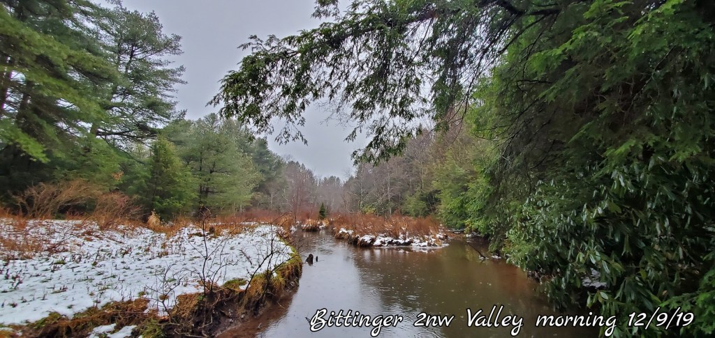
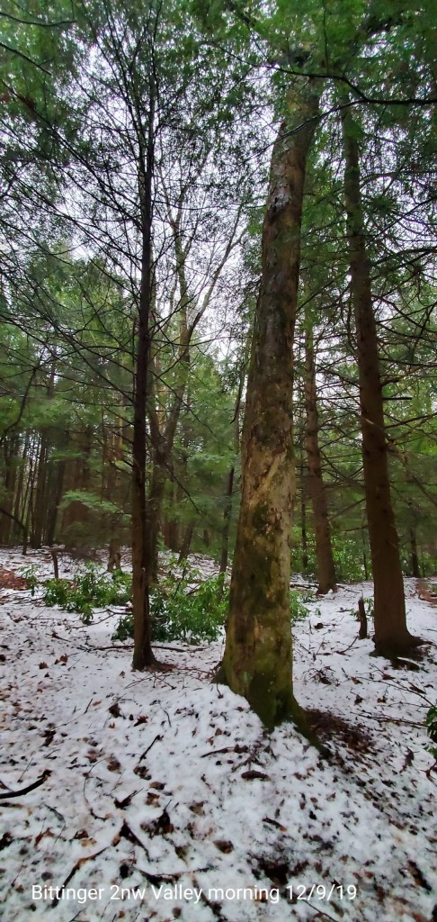
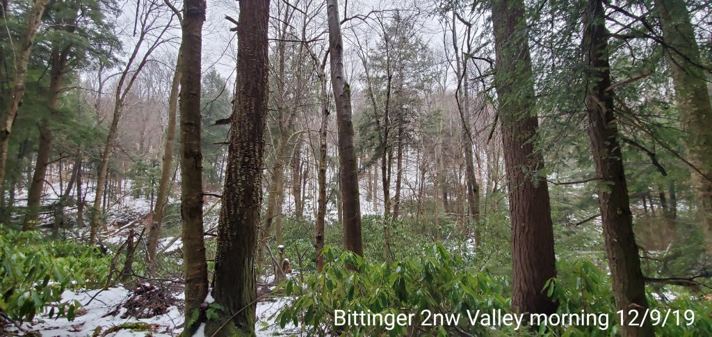
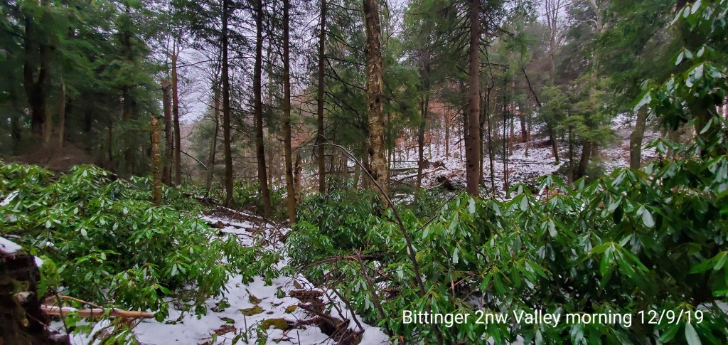
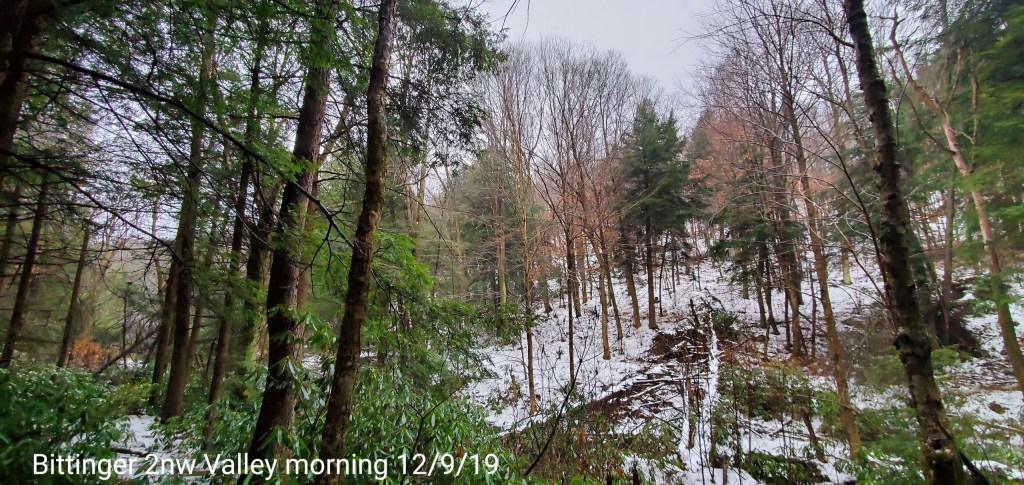
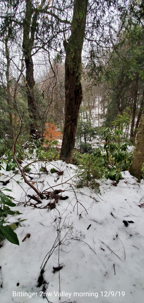
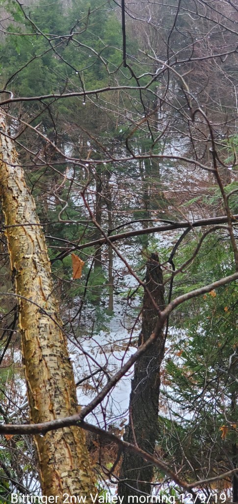
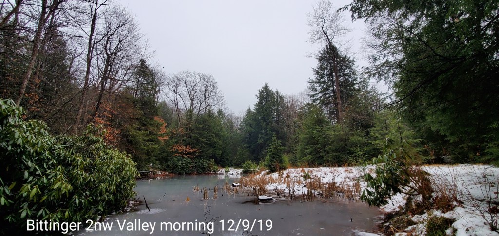
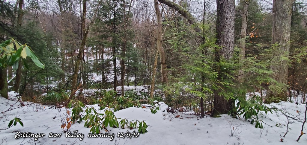
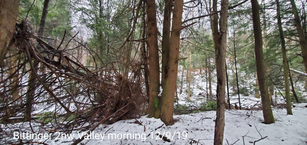
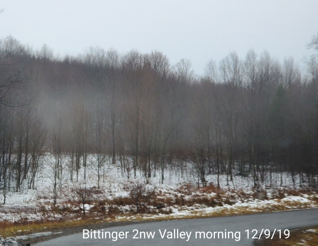
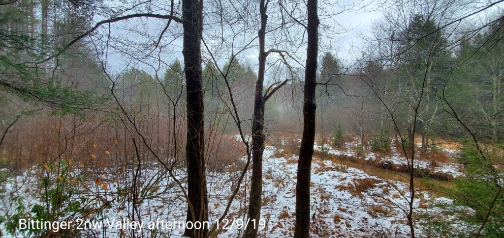
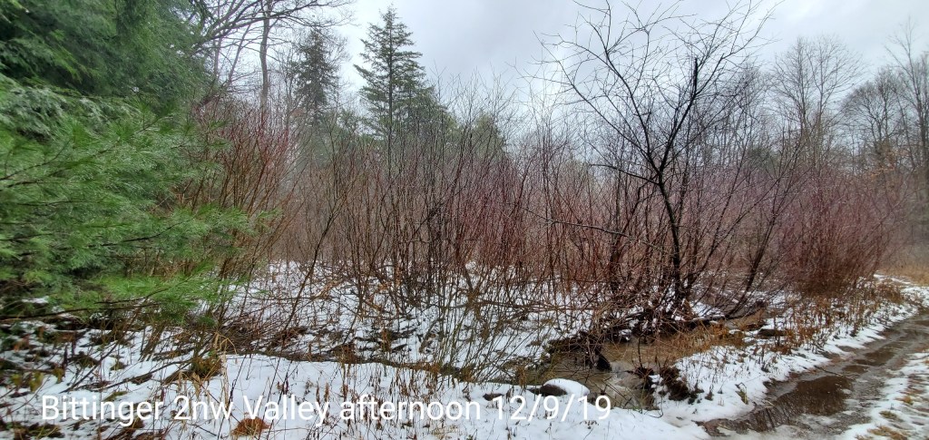
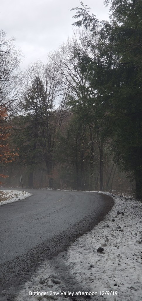
Bittinger 2nw Valley
MIN[29.7]—MAX[53.0]—AVG MEAN[41.3]—TRUE-AVERAGE[39.7]—PRECIP[.09]7am

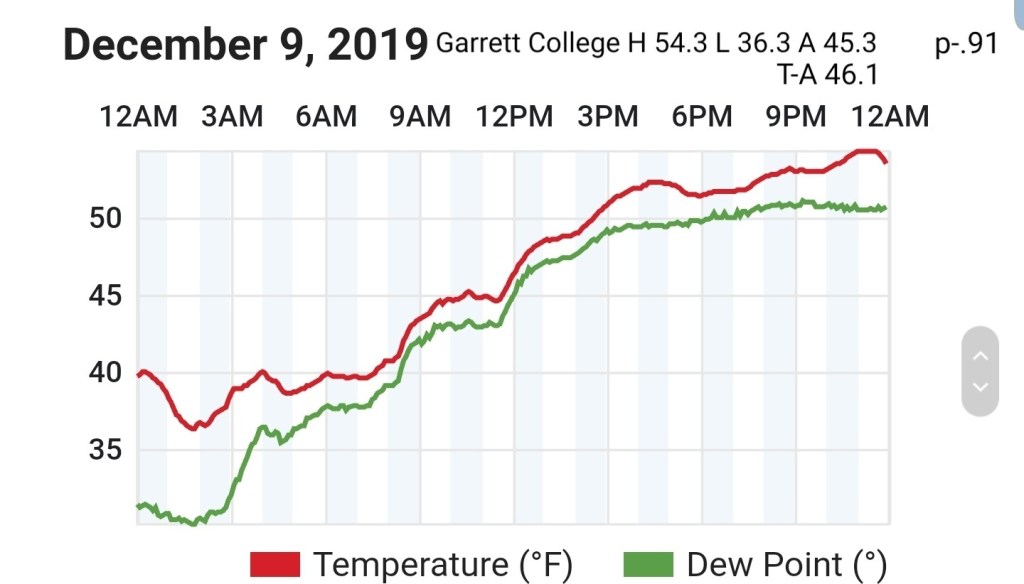
Garrett College
MIN[36.3]—MAX[54.3]—AVG MEAN[45.3]—TRUE AVERAGE[46.1]—PRECIP[.91]
Canaan Heights/Davis 3SE
MIN[37.1]—MAX[51.8]—AVG MEAN[44.4]—PRECIP[.03]7am
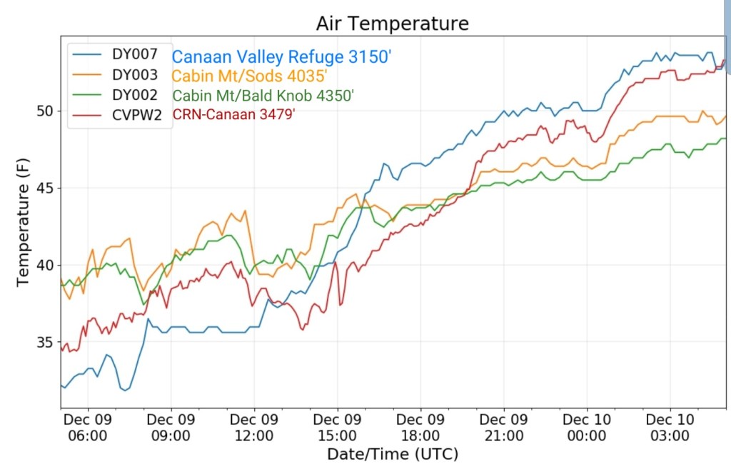
Climate Reference Network Canaan
MIN[34.3]—MAX[53.4]—AVERAGE MEAN[43.9]—TRUE AVERAGE[43.2]—PRECIP[.57]

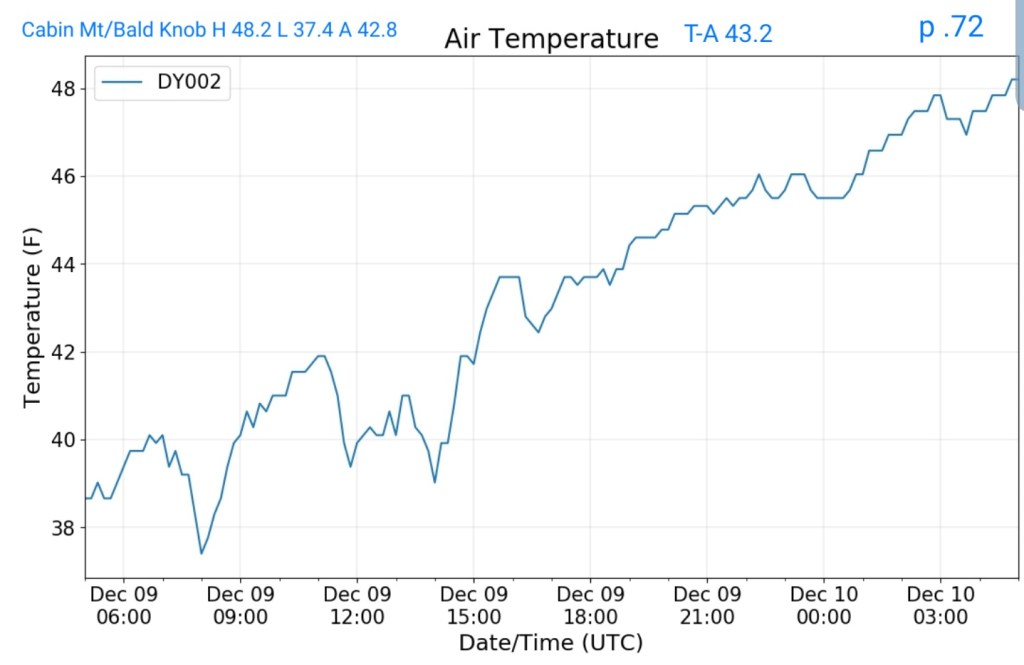
Cabin Mt at Bald Knob
MIN[37.4]—MAX[48.2]—AVG MEAN[42.8]—TRUE AVERAGE[43.2]—PRECIP[.72]
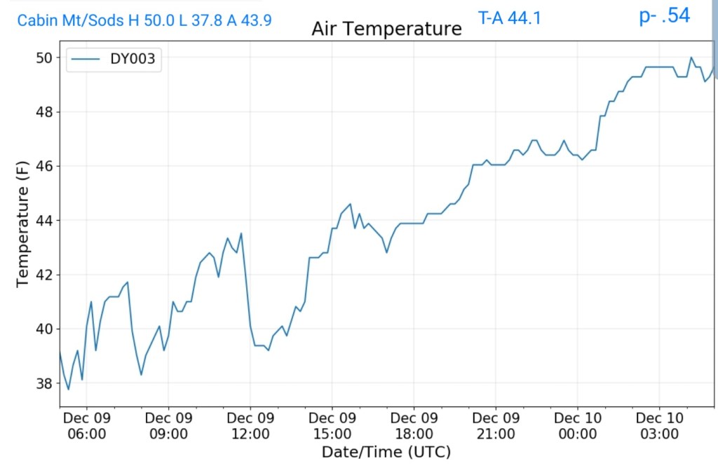
Cabin Mt – Western Sods
MIN[37.8]—MAX]50.0]—AVG MEAN[43.9]—TRUE AVERAGE[44.1]—PRECIP[.54]
Spruce Knob
MIN[32.0]—MAX[44.1]—AVG MEAN[38.0]—TRUE AVERAGE[38.9]—PRECIP[.46]

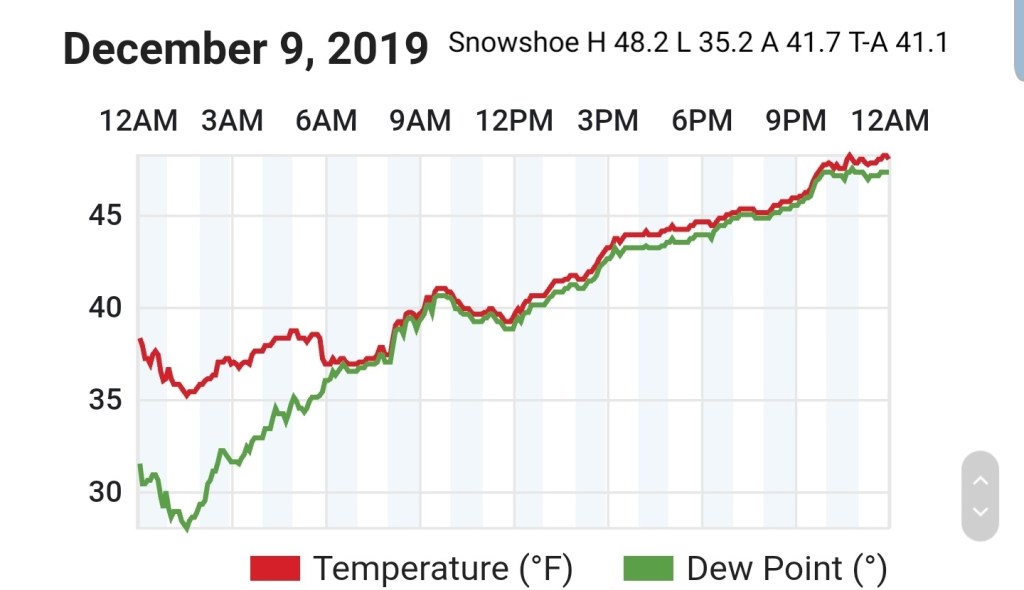
Snowshoe
MIN[35.2]—MAX[48.2]—AVG MEAN[41.7]—TRUE AVERAGE[41.1]
Canaan Valley Refuge
MIN[31.8]—MAX[54.0]—AVG MEAN[42.9]—TRUE AVERAGE[43.8]

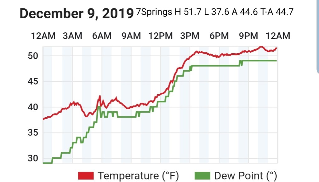
7Springs
MIN[37.6]—MAX[51.7]—AVG MEAN[44.6]—TRUE AVERAGE[44.6]
Cumberland Airport
MIN[32.0]—MAX[39.0]—AVG MEAN[35.5]—TRUE AVERAGE[35.6]

The Valley vs Cabin Mt

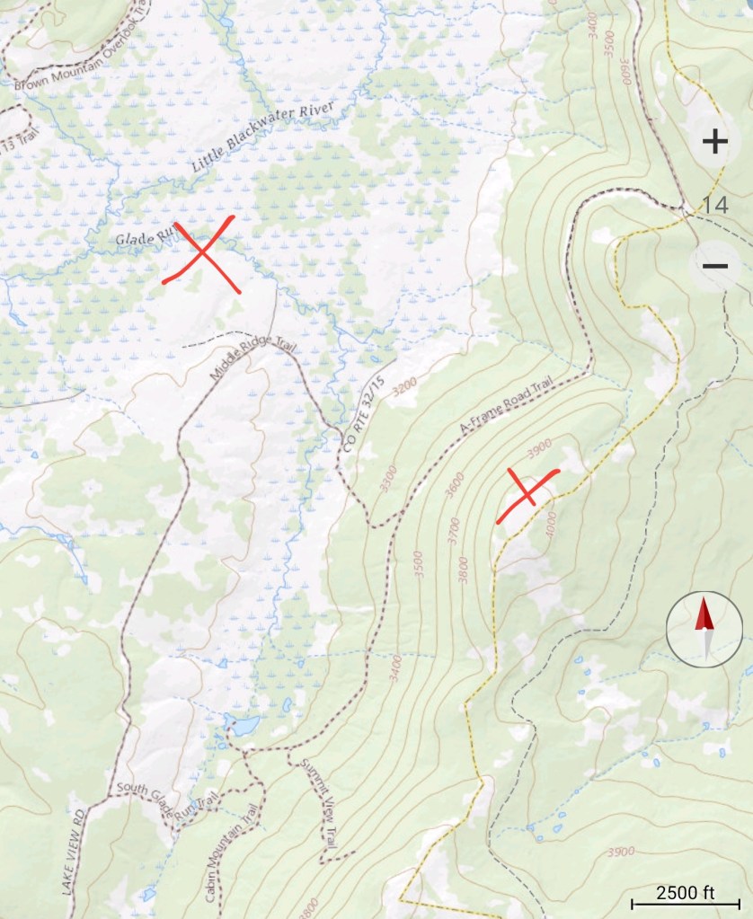
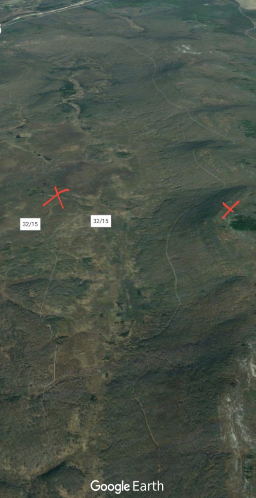
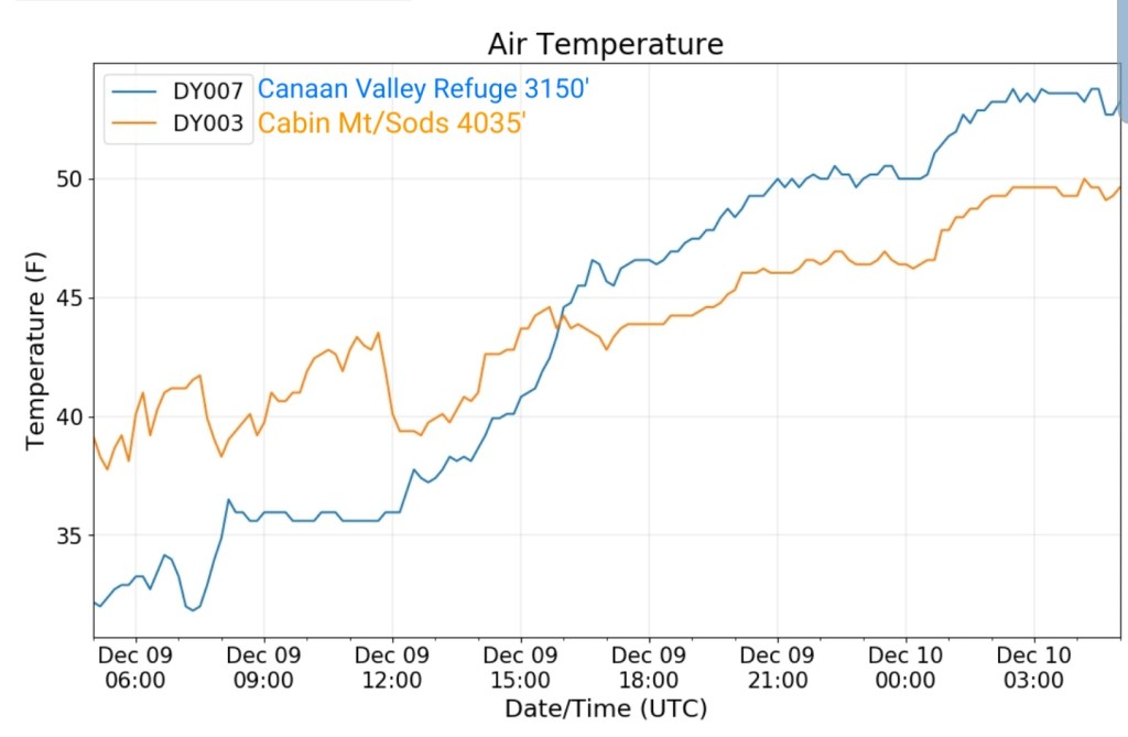
Canaan area temps
Comparison view

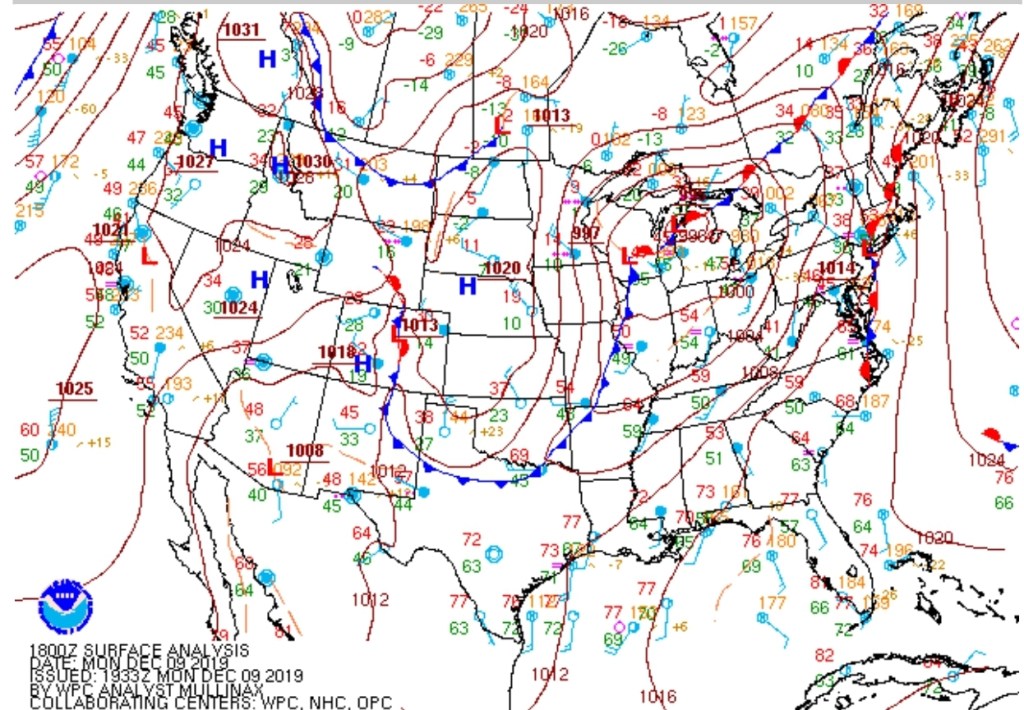
RTMA
Radar
Satellite
Flow
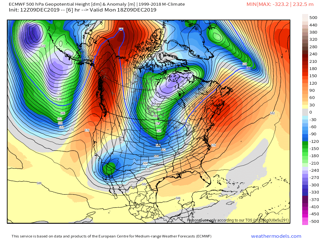
Surface features and 500mb height anomalies and flow
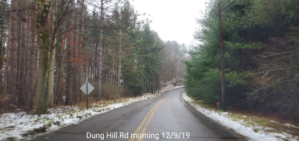
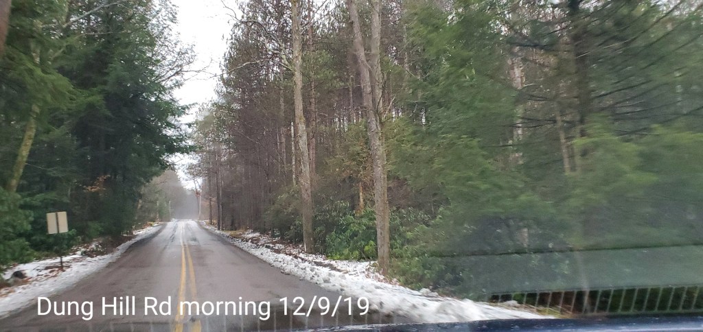
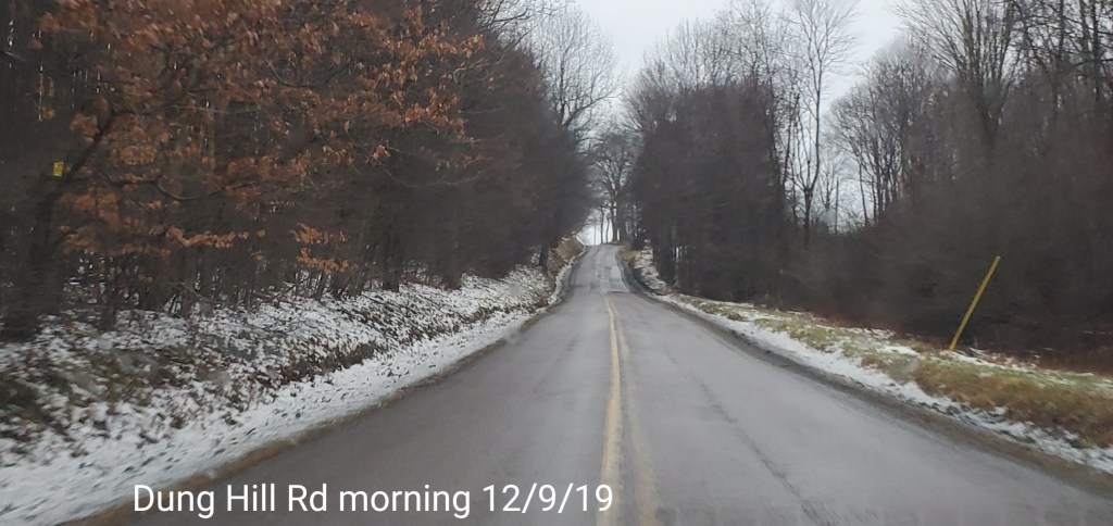
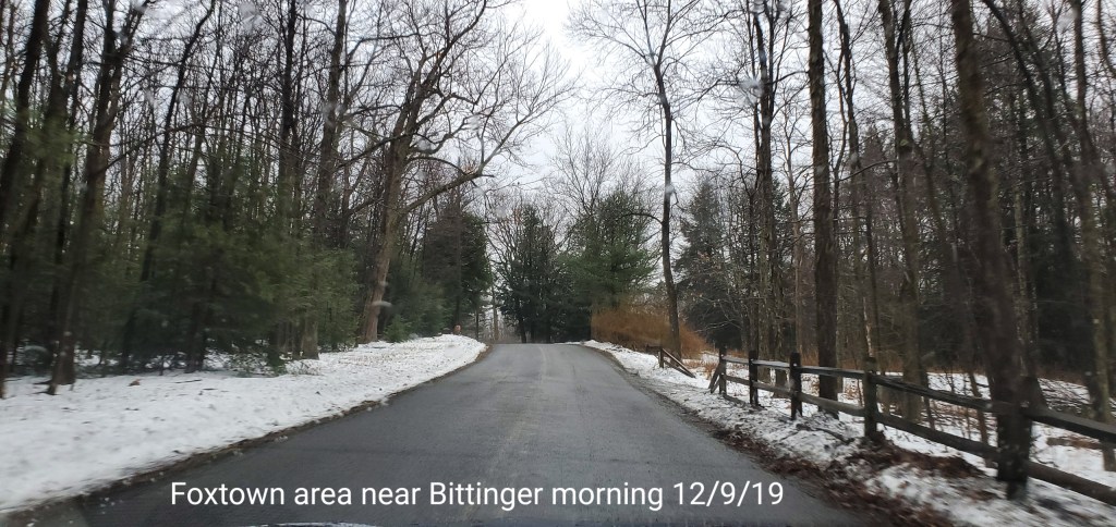
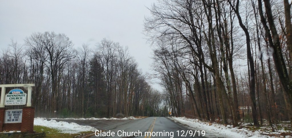
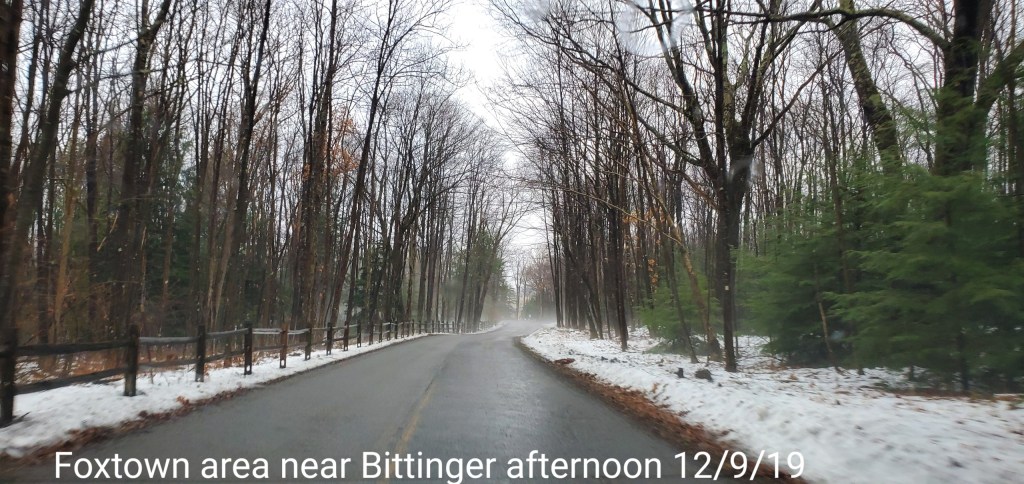
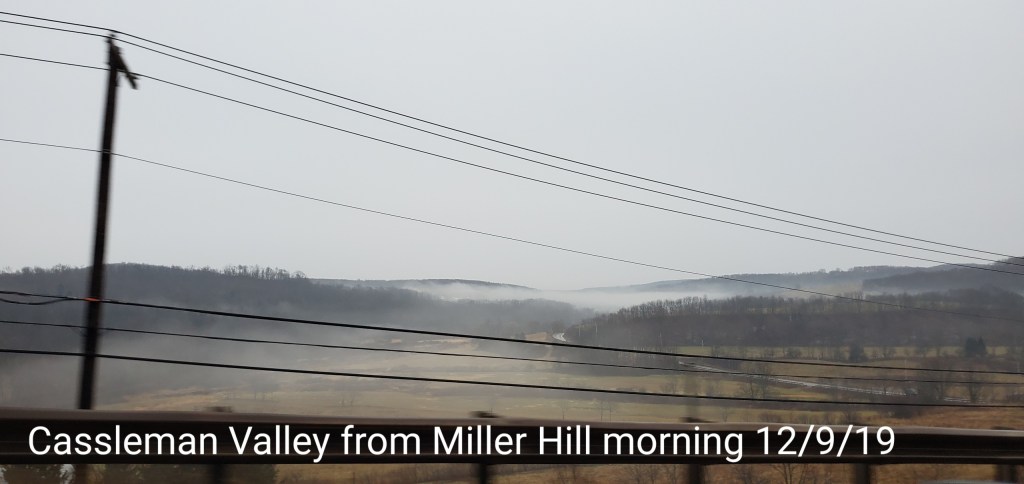
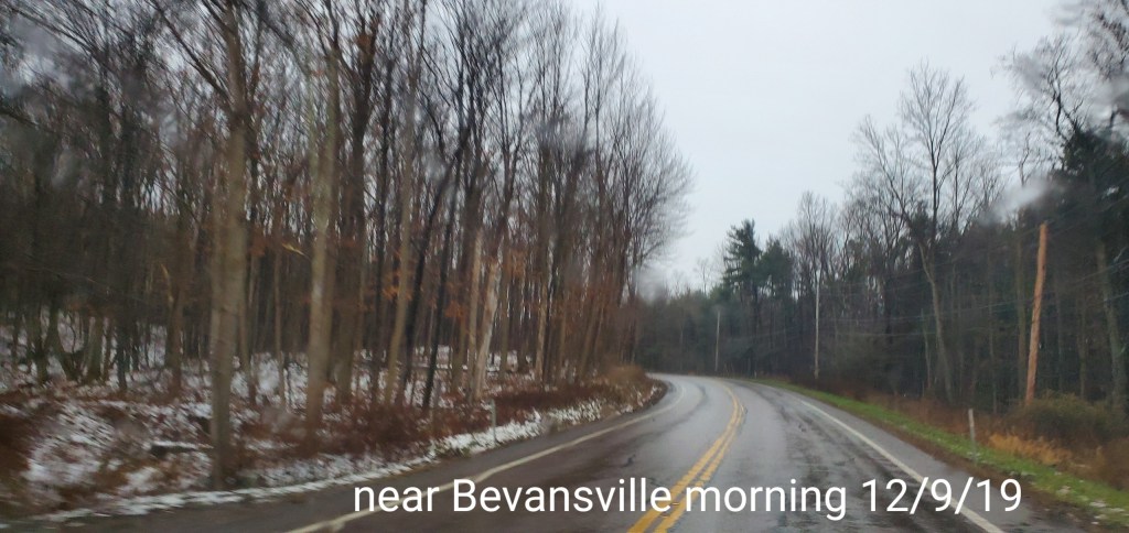
pics today
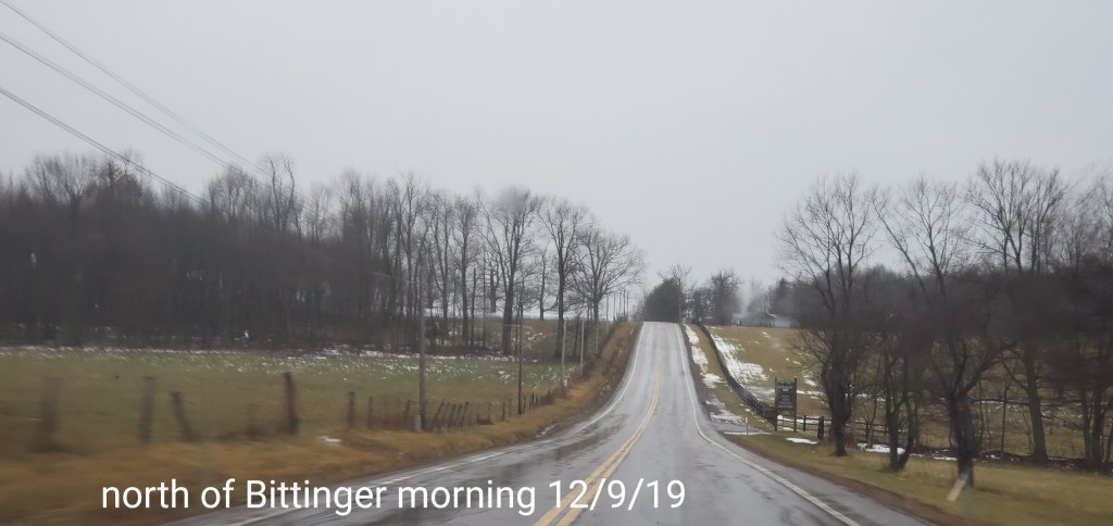
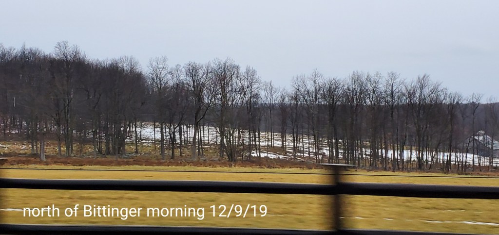
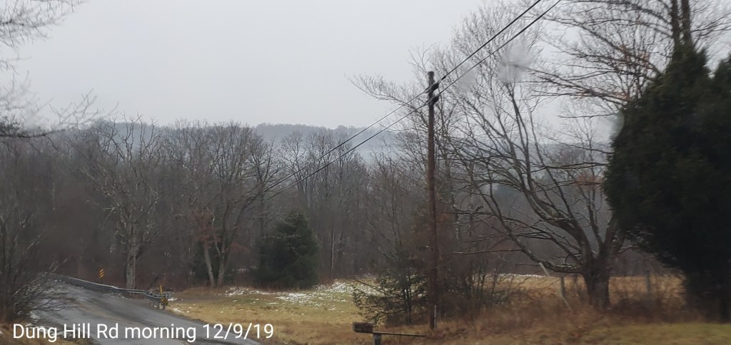
Bittinger area


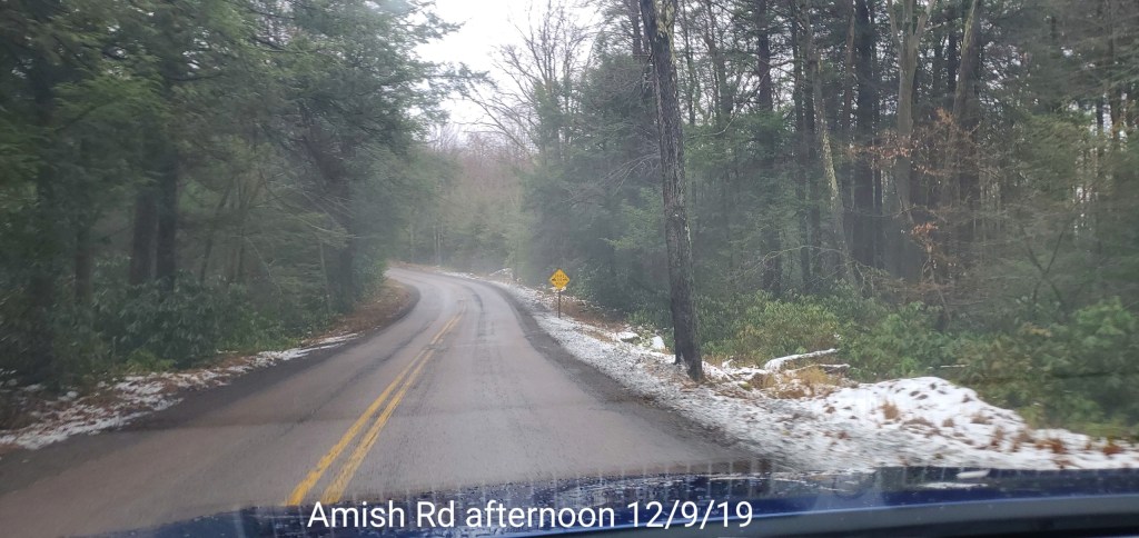
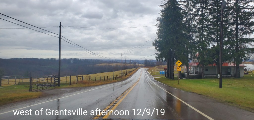
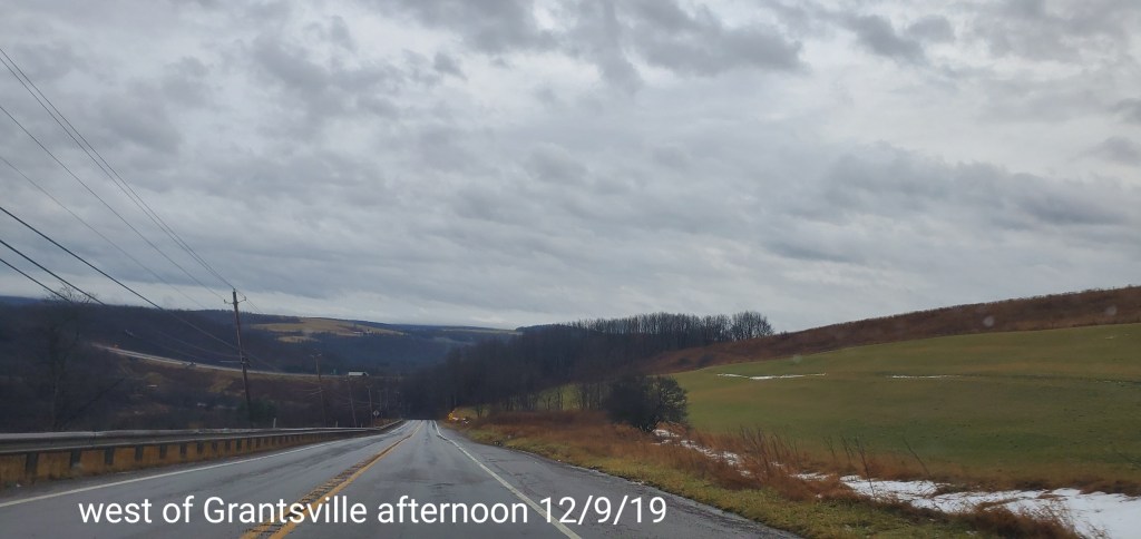
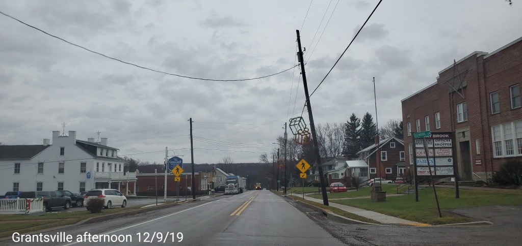
Grantsville area


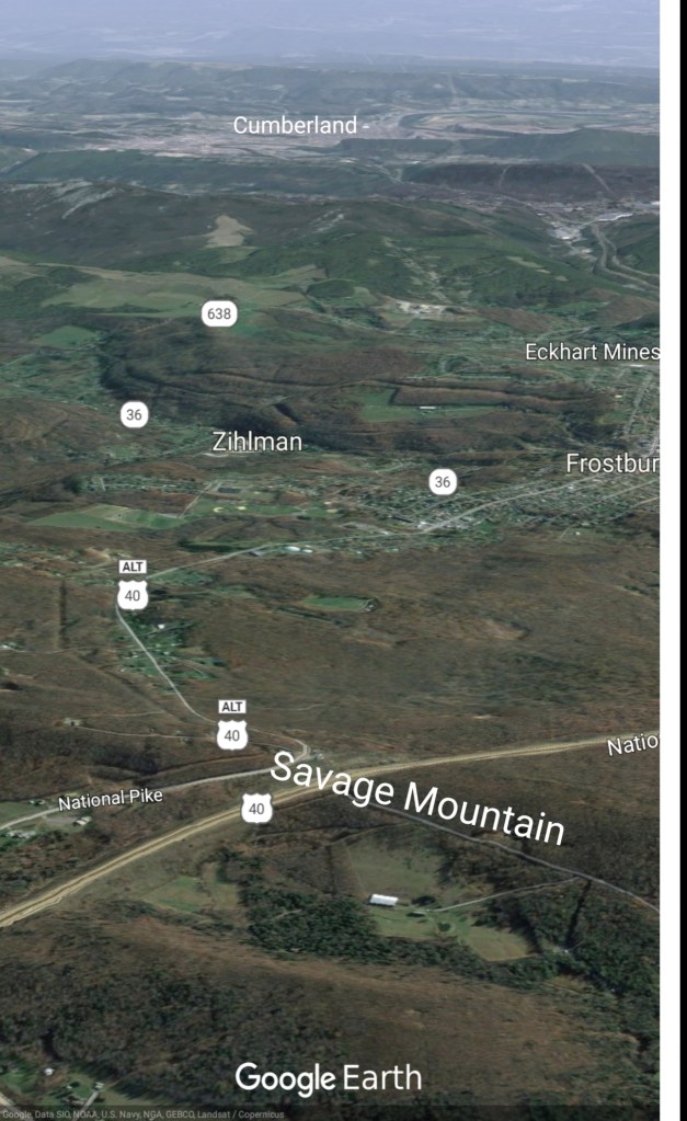
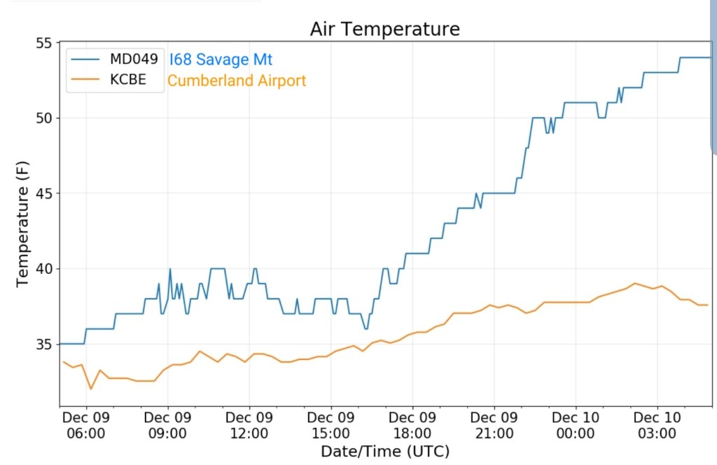
Savage Mt to Cumberland
The best view of the high ground warmth to lower elevation colder air(low areas in the fog)

Upcoming snow event, more questions than answers….
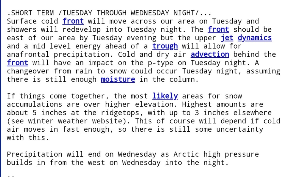
As we transition back to cold tomorrow, the setup as of 1pm today leaves more questions yet than answers. As rain transitions to snow, in the afternoon, is it fleeting and light,or moderate and lingering into the early overnight? I’m not sure those can be answered yet. Any forecast at this point from anywhere, comes with a low confidence forecast.
This isn’t the traditional cold front crossing tomorrow, it’s a anafront
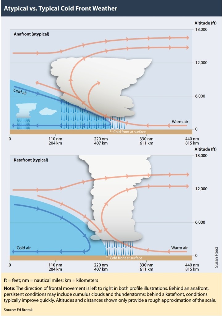
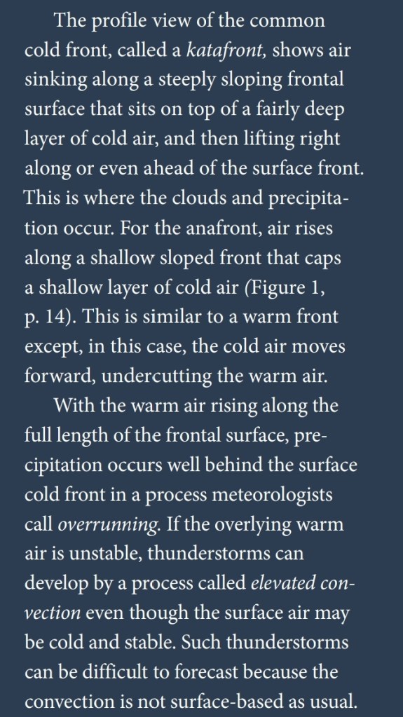
http://rammb.cira.colostate.edu/wmovl/vrl/tutorials/satmanu-eumetsat/SatManu/CMs/Cf/backgr.htm
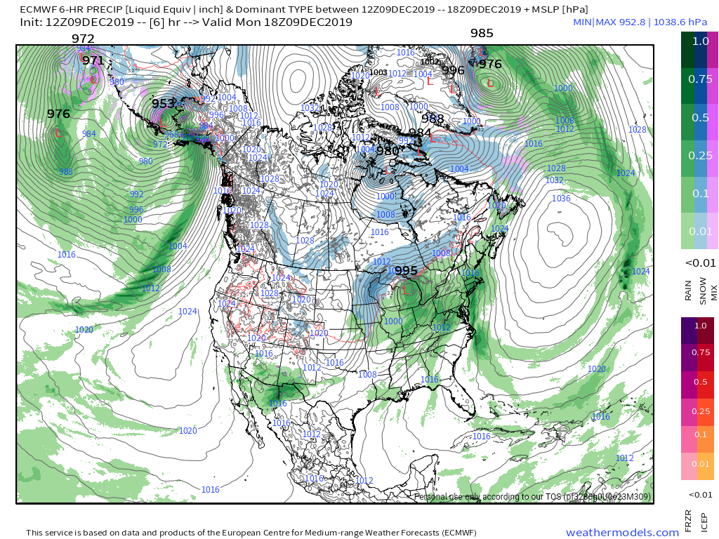
These setups can produce heavier snow east of the Alleghenies vs right over the Alleghenies. Really depends on where they slow down and stall. As of now, this looks to cross the Allegenies fairly quickly with the greatest moisture available Canaan and south. Very low confidence though I must add. Once it cross the Alleghenies, and gets 50-75 miles east, slows down, a deepening may occur, more vertical motion and it snows to beat the band. This is not the classic downslope, where the Alleghenies rob the moisture setup. A lot of ingredients are at play. How those ingredients become mixed, is very unclear. Modeling is still all over the place. As timing, how much the trough deepens, speed, etc will play a big role. Currently the models vary in this, quite significantly I might add. Enough so, the snow maps off the models vary greatly. As seen:
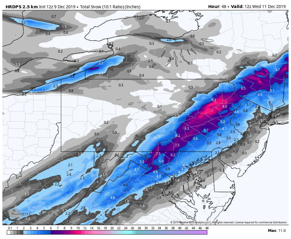
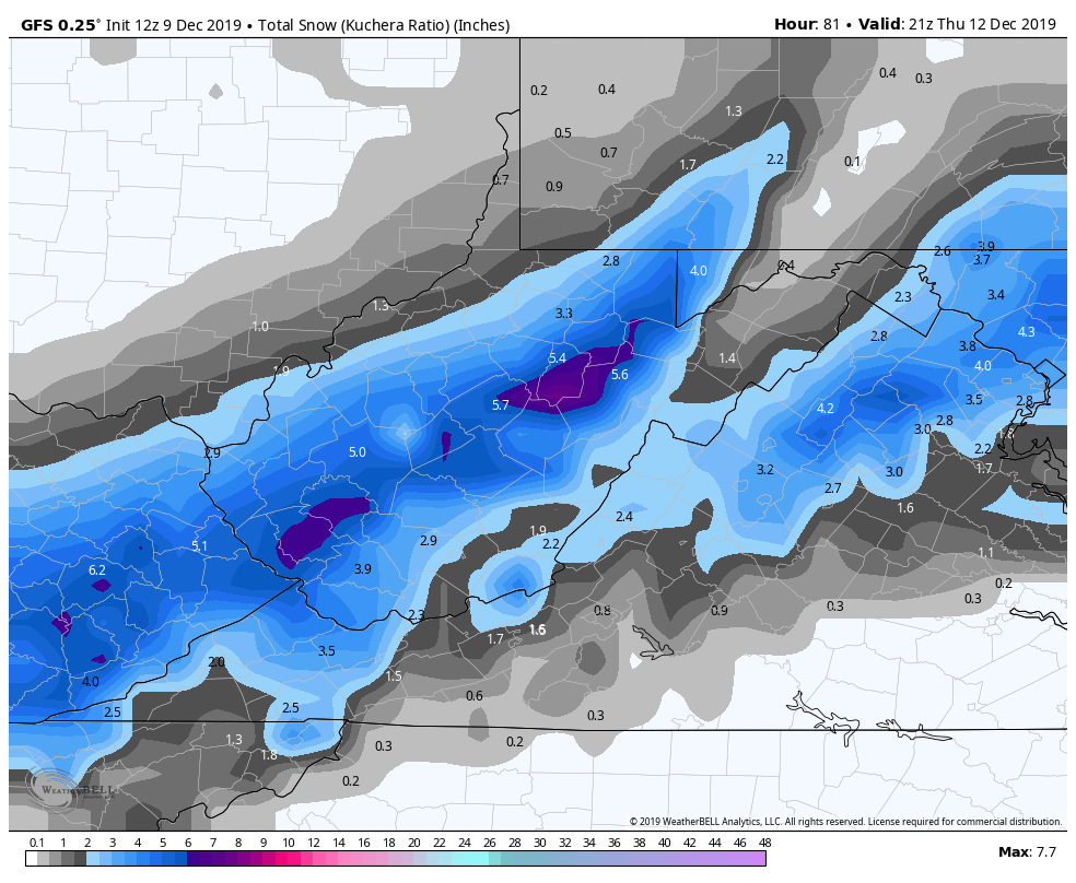
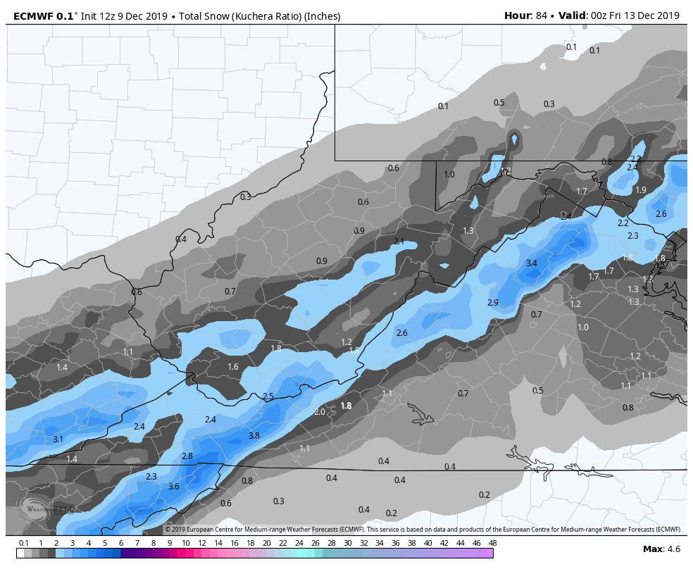
This within 36 hours is a wide range. I tend to like this type of setup for amounts on my doodle map. It’s a bit of a blend, but more classic to the setup. That is tricky. Ours occurs fairly rapidly after the changeover. Over east it occurs overnight. This has a very high boom or bust potential.
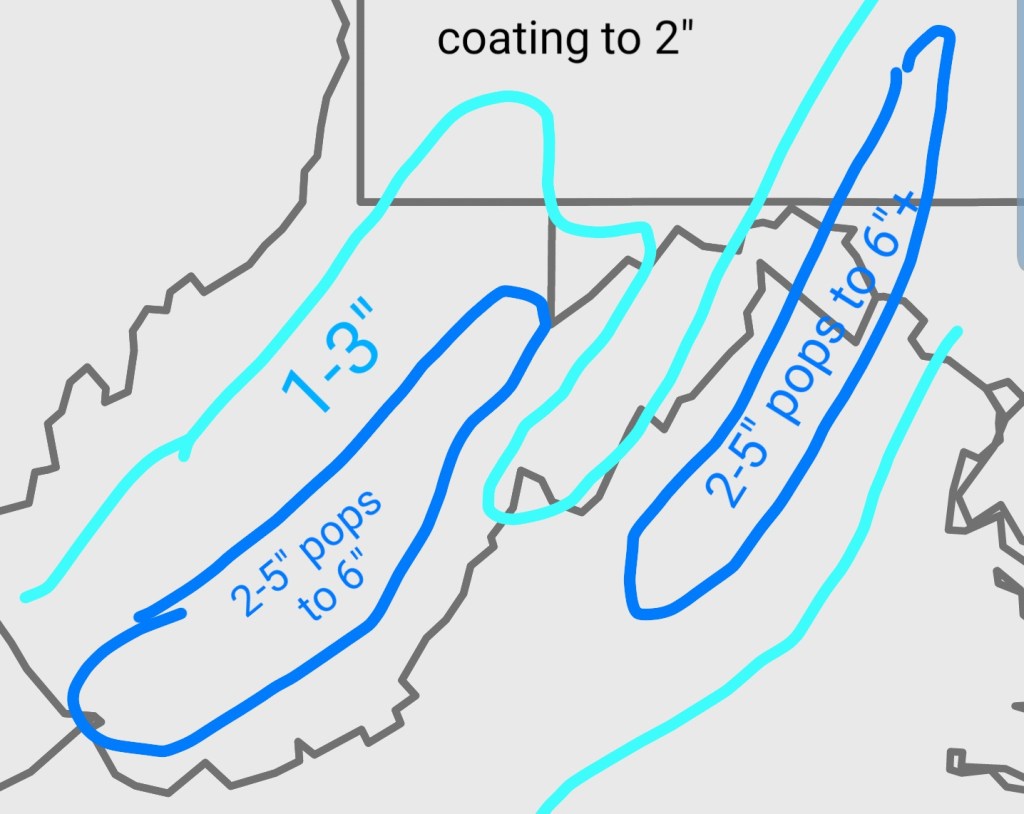
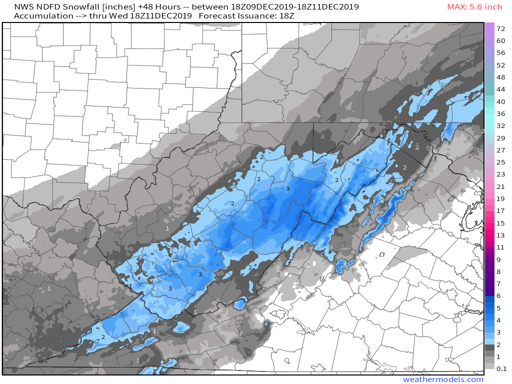
Here is the current NWS office forecast thinking.( I doodled my map prior to seeing theirs, so seeing some similarities was encouraging). There is office discrepancy there as the Blacksburg office sees this a little differently than Charleston and Sterling. Overall though, I like it, except I think the areas east, could boom with this more. With any significant changes, slowing of the front, timing, I will update.
For snow forecast, these are as tough as they come. They often have surprises and the greatest boom or bust with this looks in my opinion to be the Blue Ridge, Martinsburg, Hagerstown, Chambersburg and up into Pa. This would not be surprising to see it overperform there.
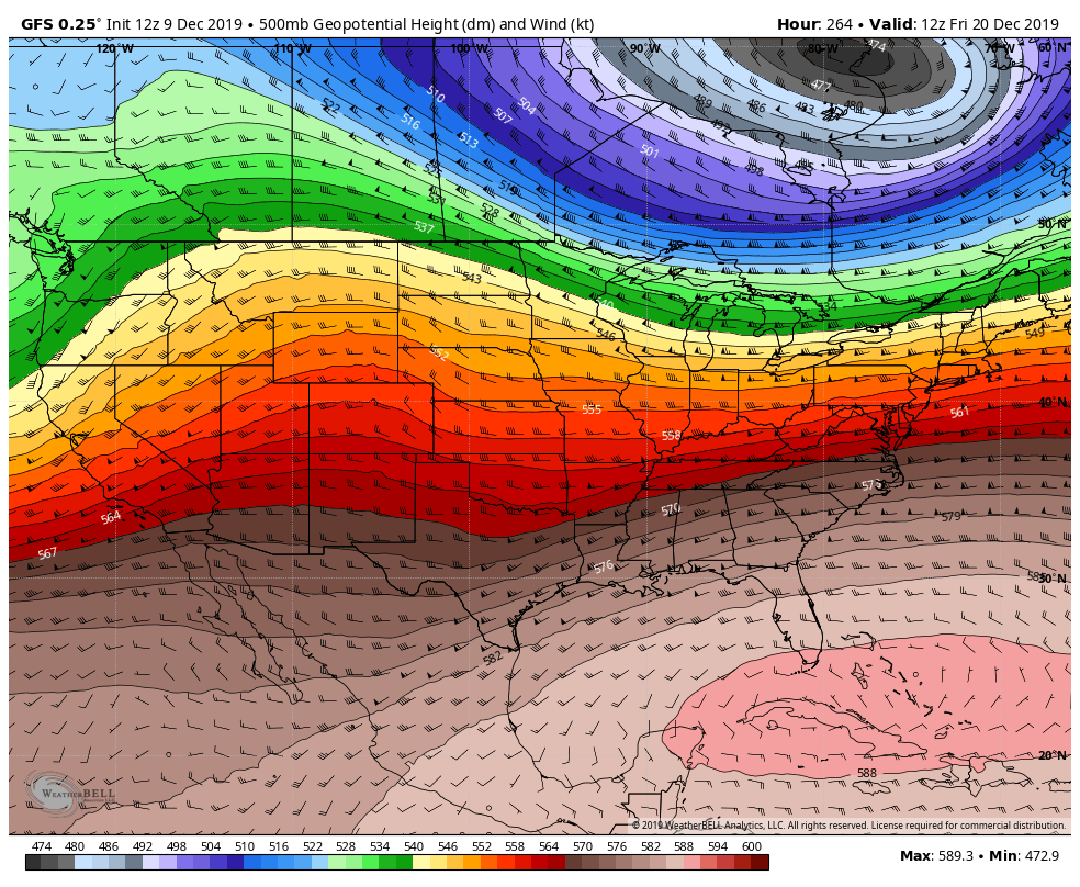
Late week event, that has a icy look to start, then rain, then snow. The long range pattern keeps regenerating that SE Ridge and that does not bode well for sustained winter weather or straight snow events. When you see a 500mb like this, that’s a big UGH to winter lovers
They tend to produce systems like we have been seeing…
