December 29, 2019
Dec 29(Sun)
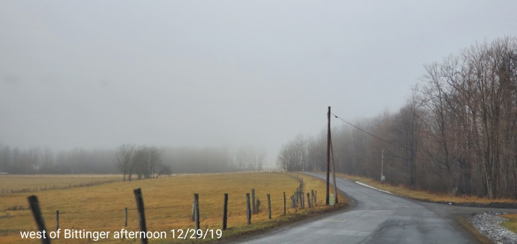
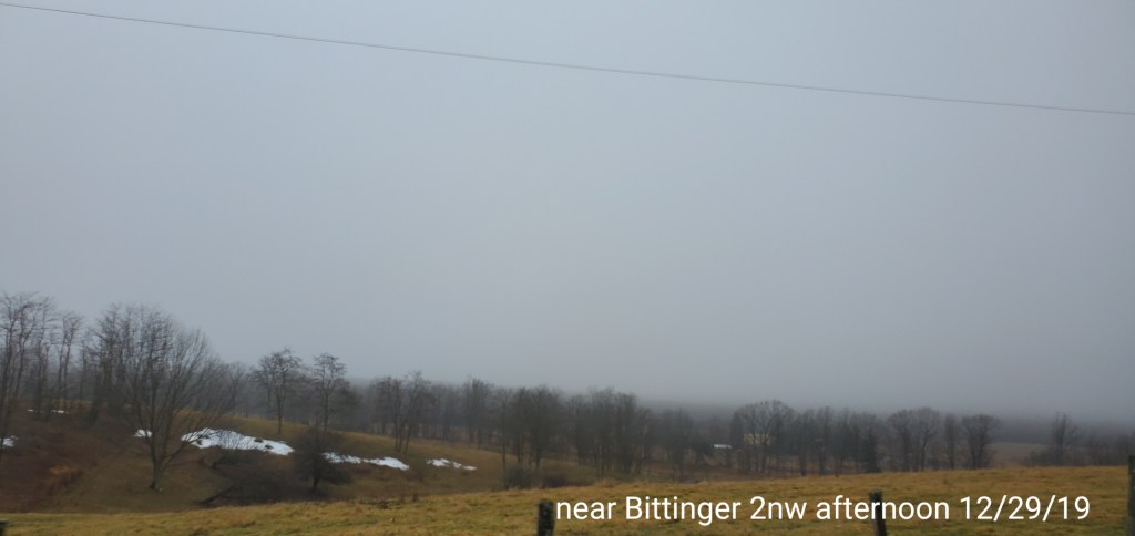
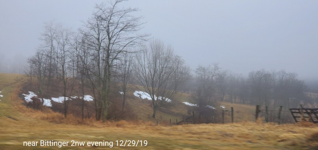
Cloudy, drizzle, rain, fog, light easterly flow.
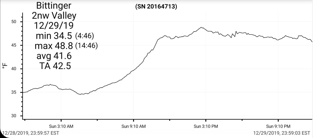
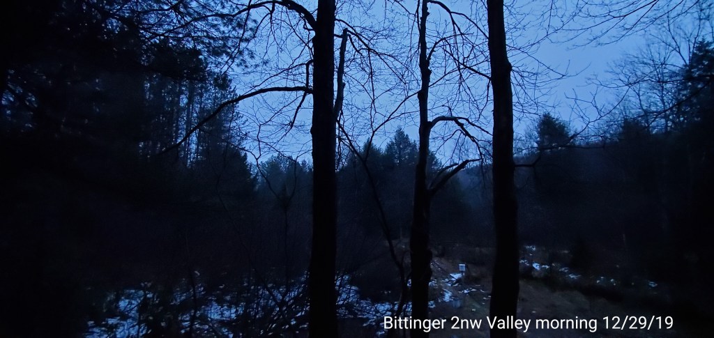
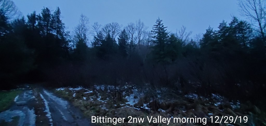
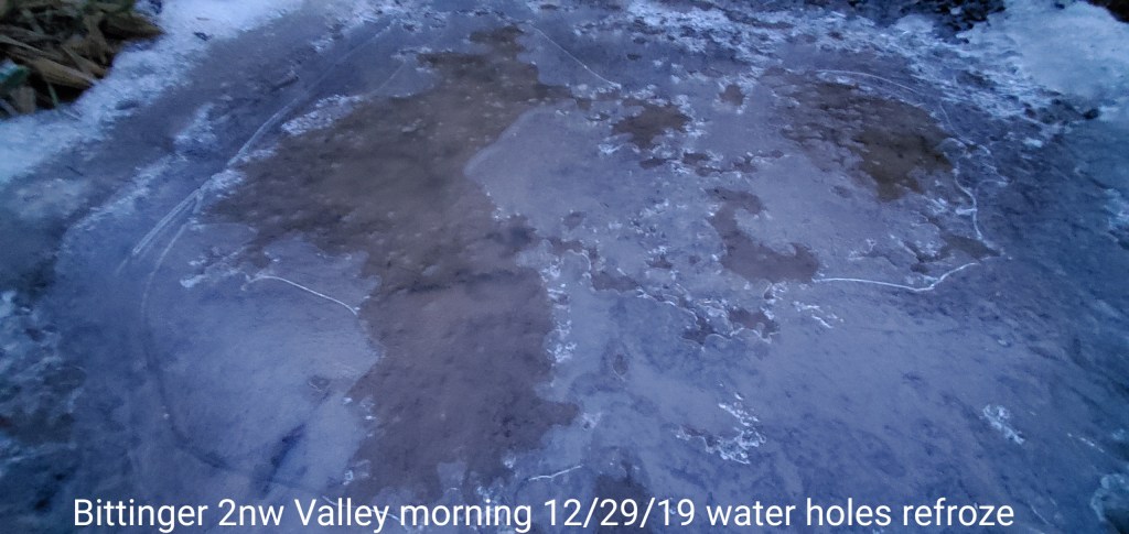
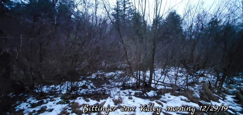
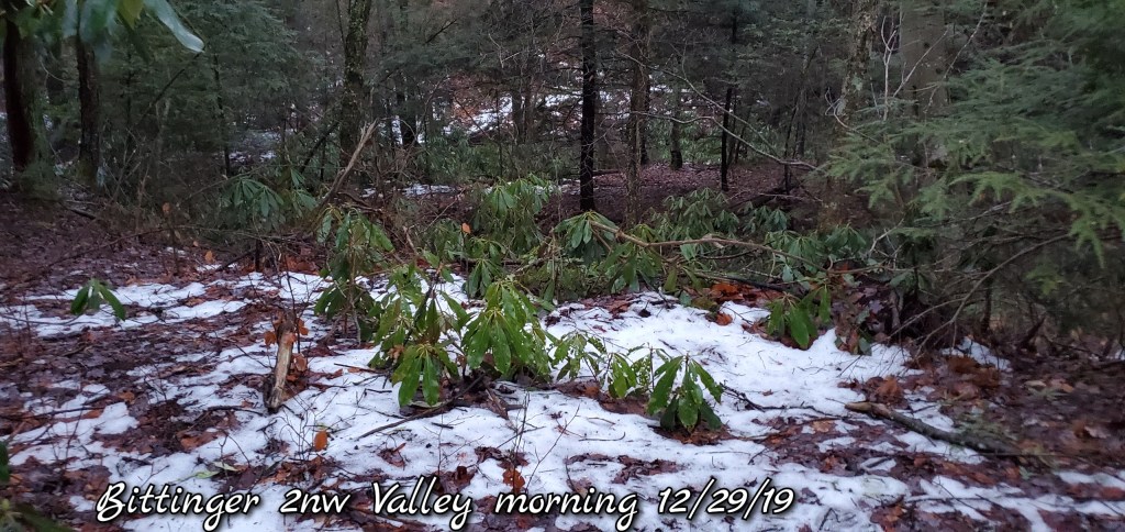
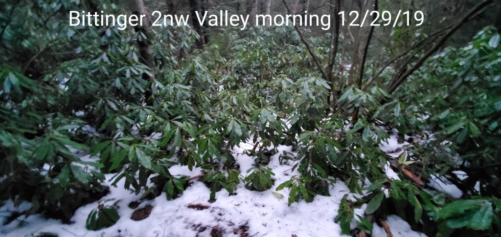
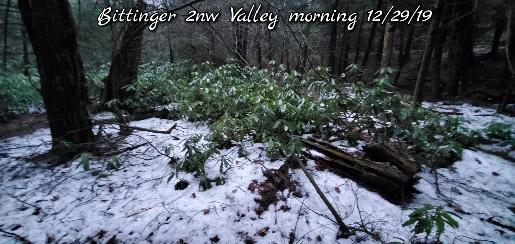
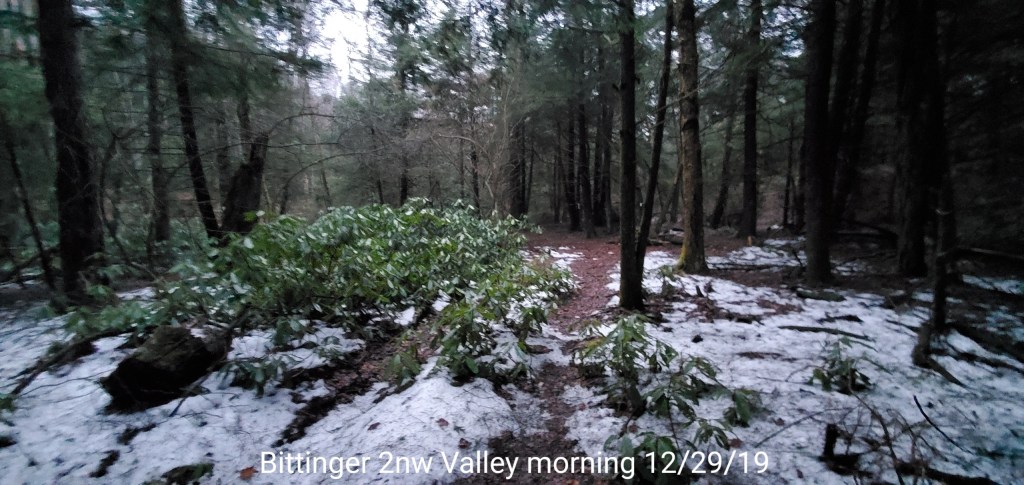
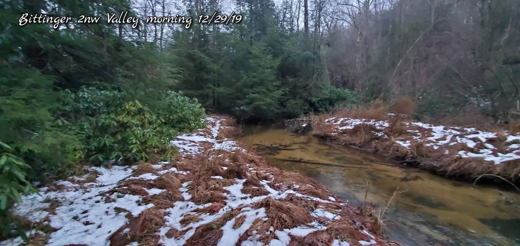
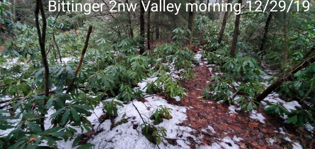
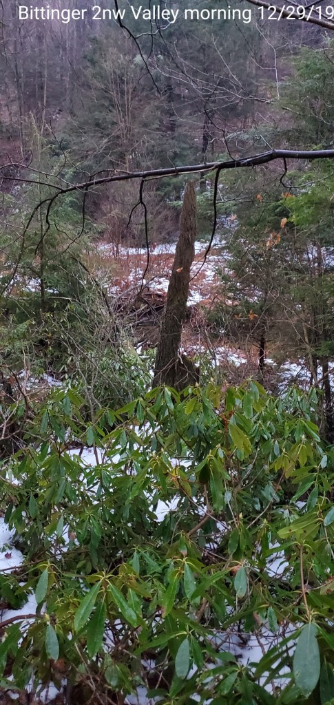
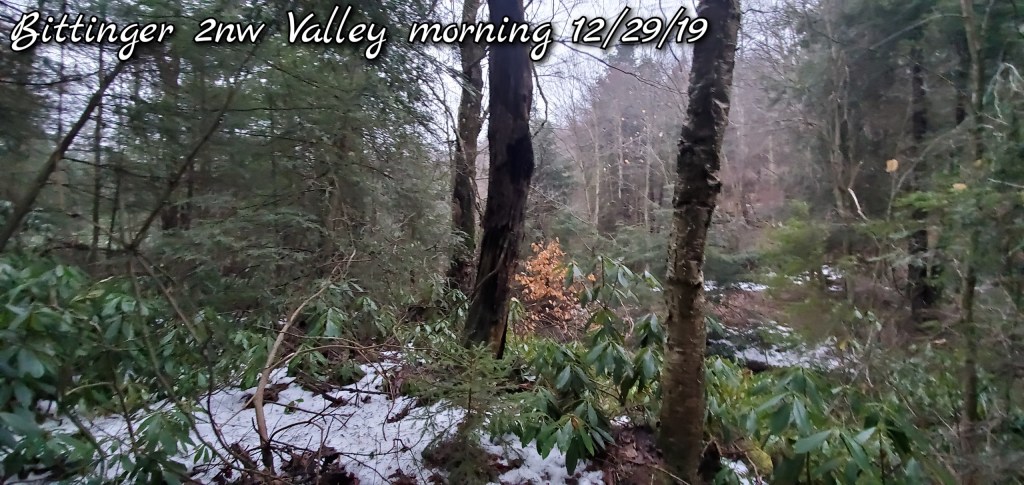
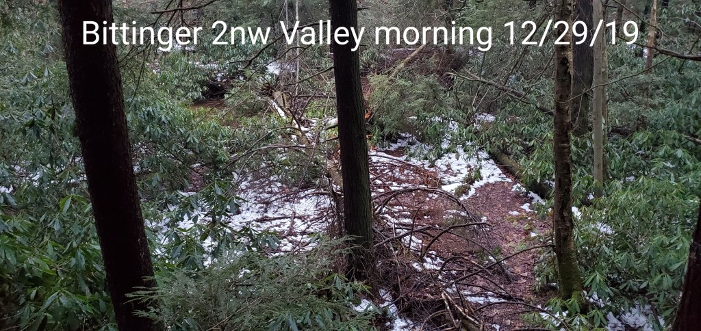
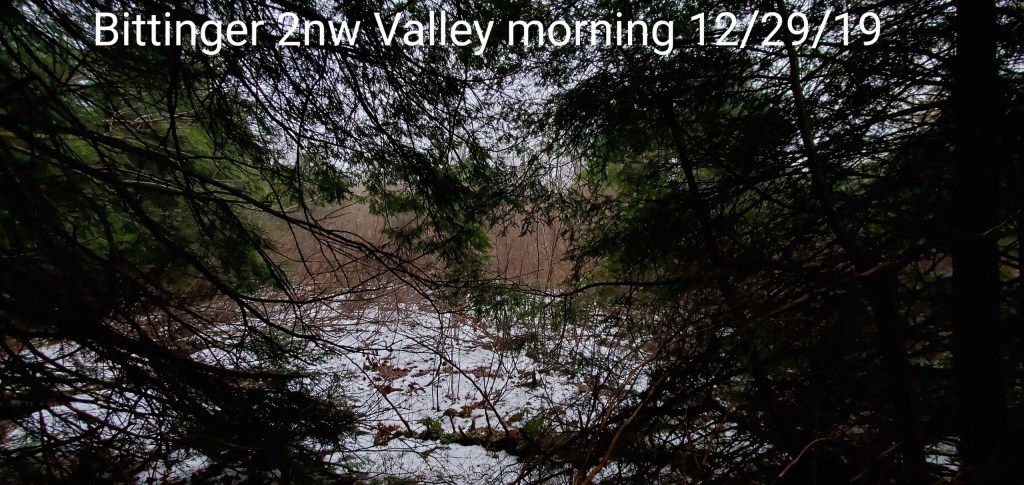
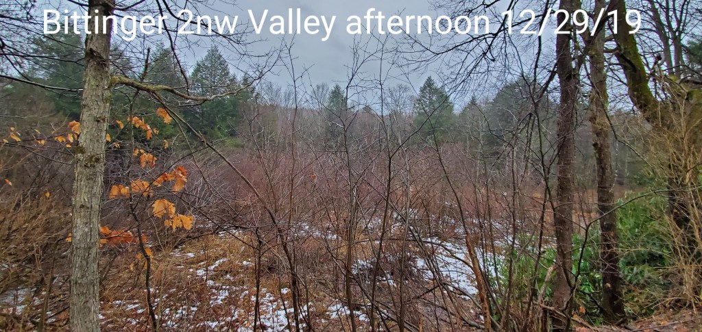
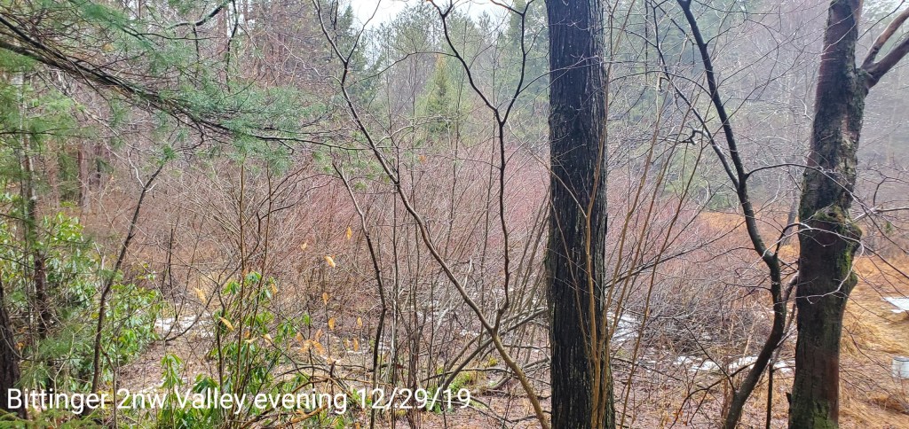
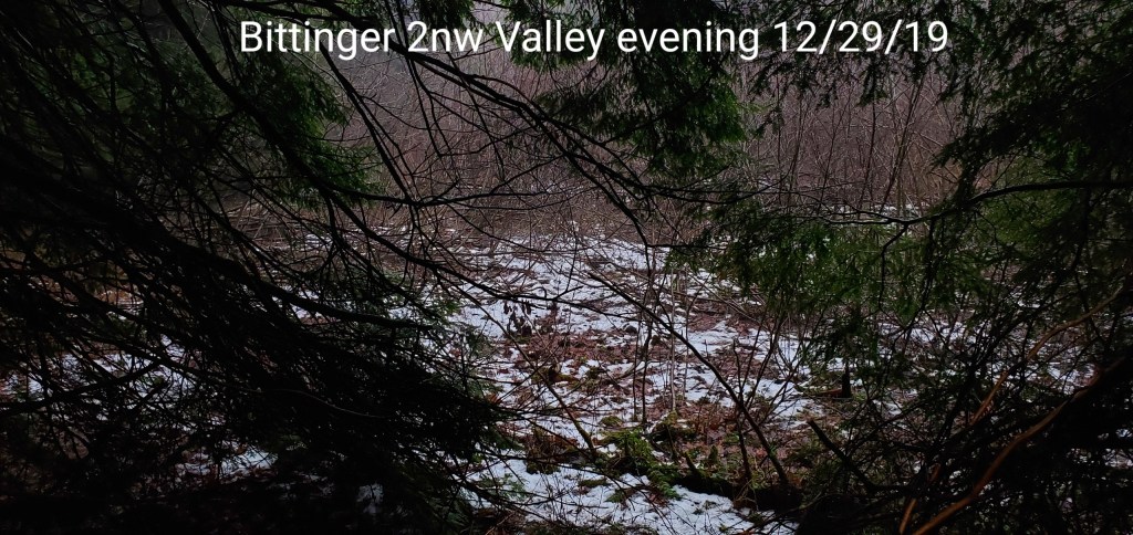
Bittinger 2nw Valley
MIN[34.5]—MAX[48.8]—AVERAGE MEAN[41.6]—TRUE AVERAGE[42.5]—PRECIP[T]7am
Snowfall season to date 20.8″
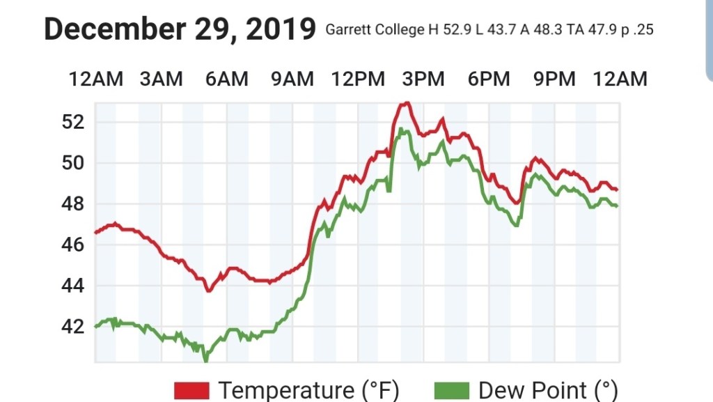
Garrett College
MIN[43.7]—MAX[52.9]—AVERAGE MEAN[48.3]—TRUE AVERAGE[47.9]—PRECIP[.25]
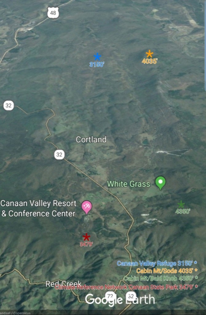
Canaan Heights/Davis 3SE
MIN[46.0]—MAX[56.0]—AVERAGE MEAN[51.0]—PRECIP[.01]7am
Snowfall season to date 28.6″
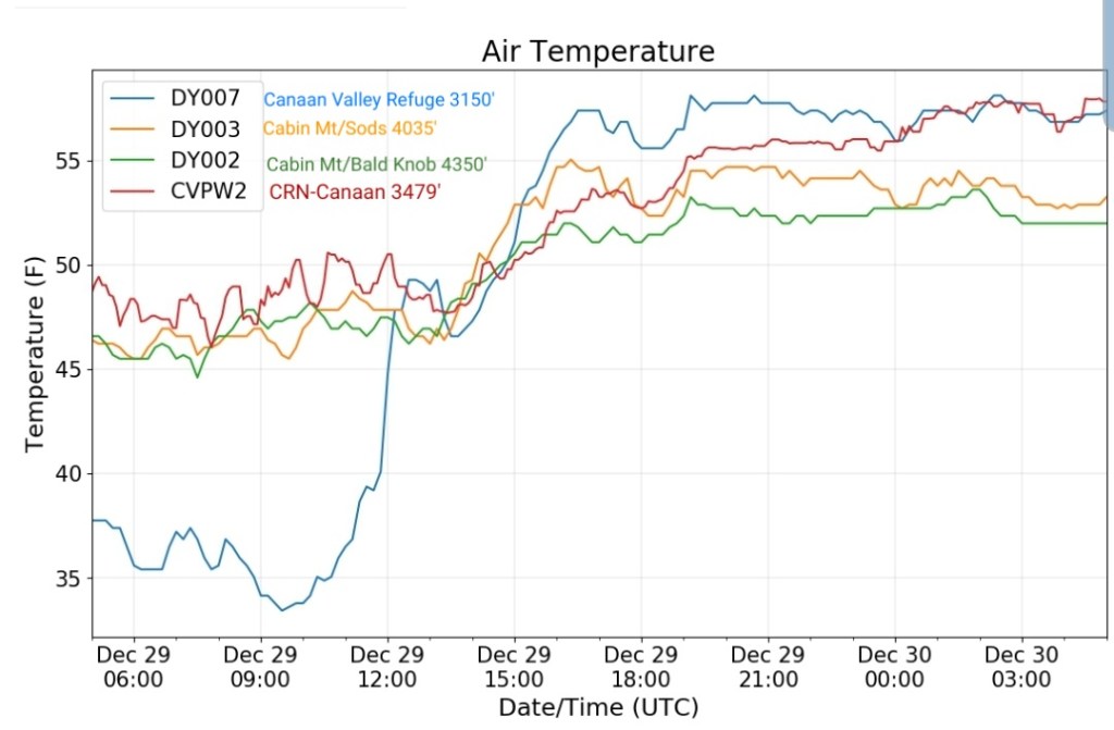
Climate Reference Network Canaan
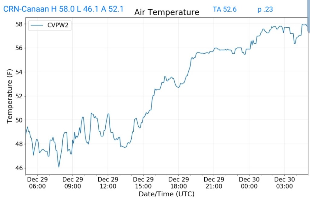
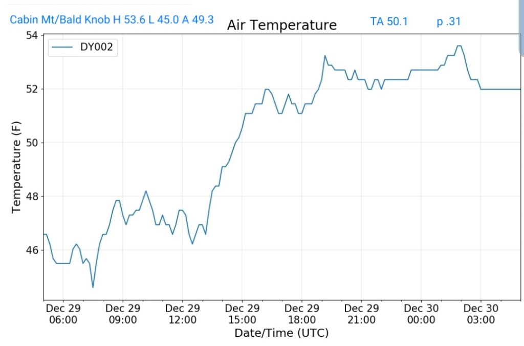
Cabin Mt at Bald Knob
MIN[45.0]—MAX[53.6]—AVERAGE MEAN[49.3]—TRUE AVERAGE[50.1]—PRECIP[.31]
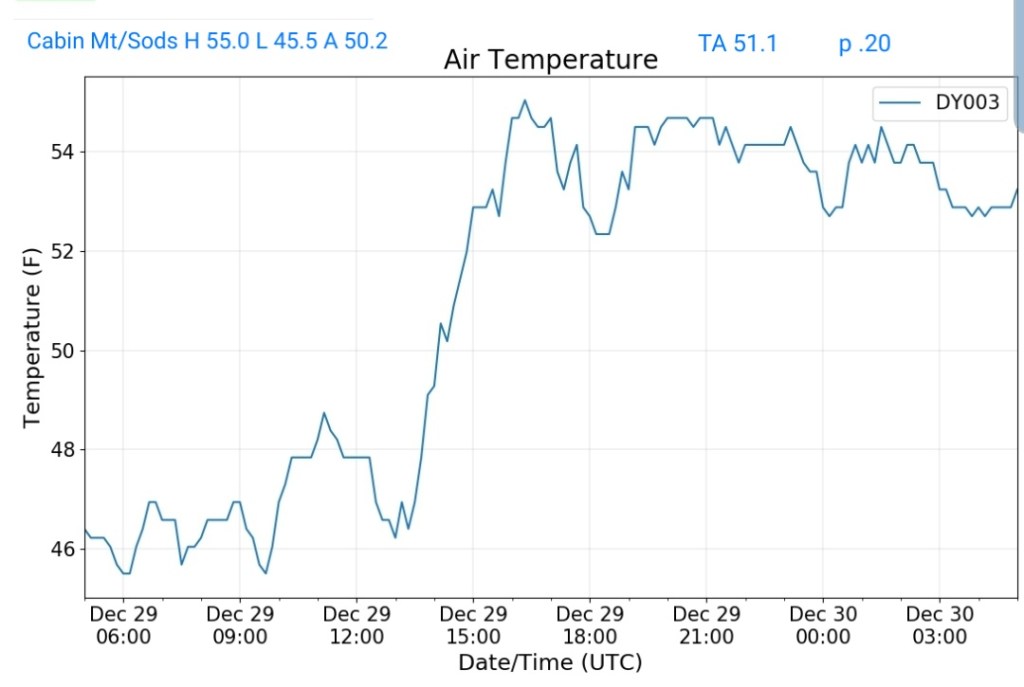
Cabin Mt-Western Sods
MIN[45.5]—[55.0]—AVERAGE MEAN[50.2]—TRUE AVERAGE[51.1]—PRECIP[.20]
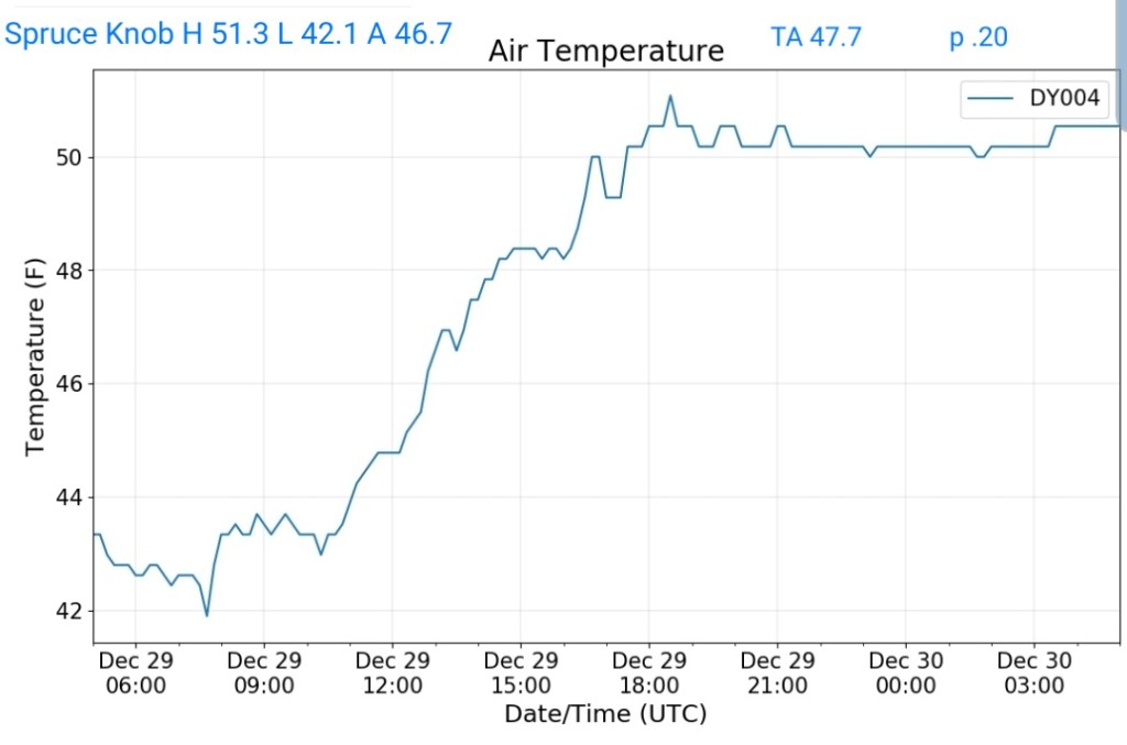
Spruce Knob
MIN[42.1]—MAX[51.3]—AVERAGE MEAN[46.7]—TRUE AVERAGE[47.7]—PRECIP[.20]
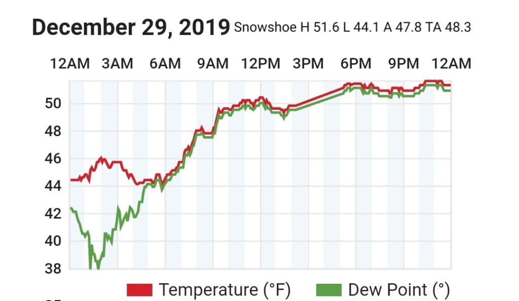
Snowshoe
MIN[44.1]—MAX[51.6]—AVERAGE MEAN[47.8]—TRUE AVERAGE[48.3]
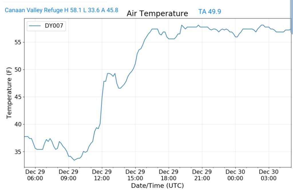
Canaan Valley Refuge
MIN[33.6]—MAX[58.1]—AVERAGE MEAN[45.8]—TRUE AVERAGE[49.9]
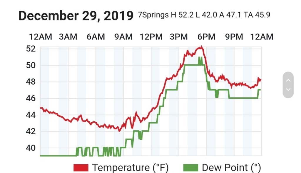
7Springs
MIN[42.0]—MAX[52.2]—AVERAGE MEAN[47.1]—TRUE AVERAGE[45.9]
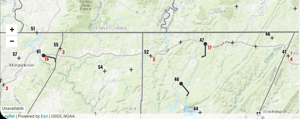
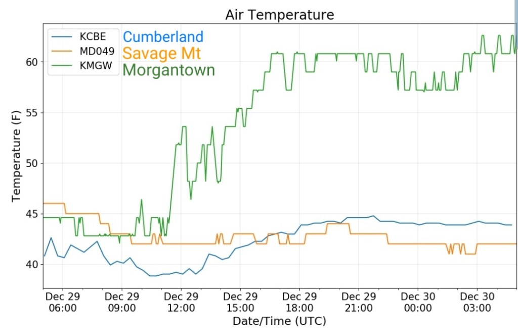
Cumberland Airport
MIN[38.8]—MAX[44.7]—AVERAGE MEAN[41.7]—TRUE AVERAGE[42.3]

The Valley vs Cabin Mt
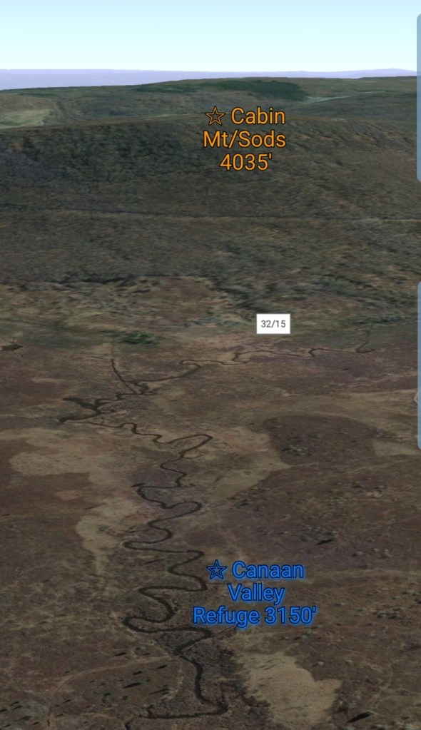


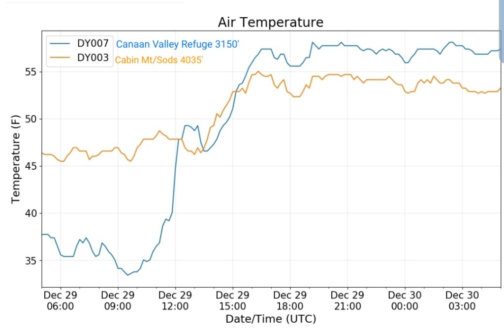
Canaan area temps
Comparison view
Along I-68 Morgantown to Cumberland
RTMA
Radar
Satellite
Flow
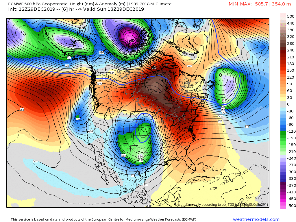
Surface features and 500mb height anomalies and flow
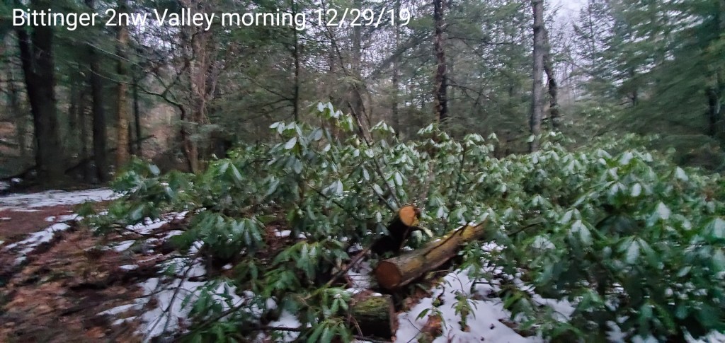
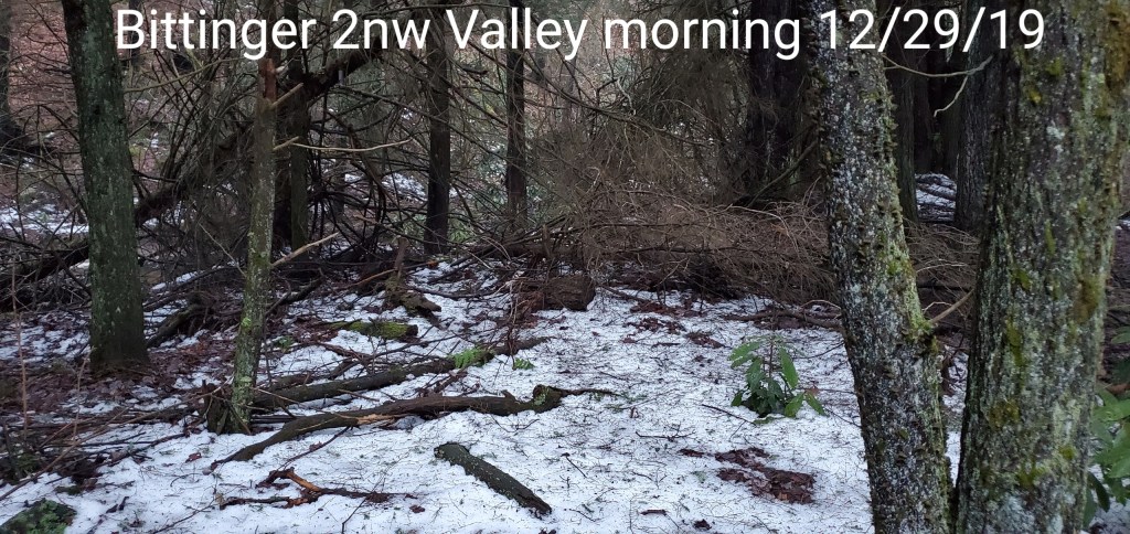
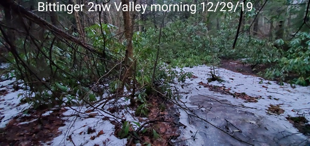
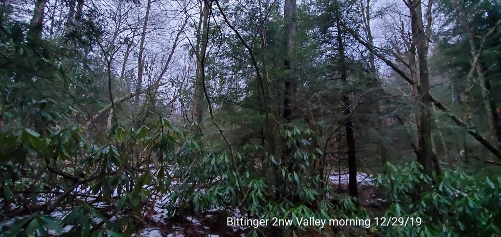
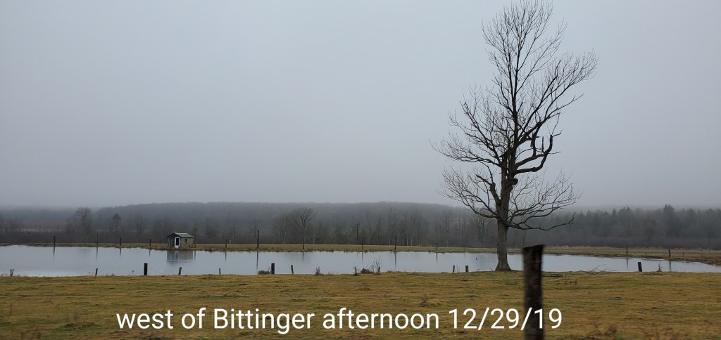
Pics today-
Bittinger 2nw
things even refroze overnight while many areas remained 40s


Making hay in a rainy pattern…
Post generated 10am
Making hay in a rainy pattern may be the equivalent to getting snow in a mild pattern. There is usually a break for it to occur. There is the light snow event to close out 2019 this week, that goes to meet its maker late week with the return of the SW flow.
However, the best chance that I still like, is a period around the 6-9th give or take a day for the chance to “make hay” in this pattern for those longing for snow. Cold air should be able to make a push in this period.
After that time, there is a lot of high pressure and very cold air in western Canada, unfortunately it does not look like it will push east, but instead sink into the west as the trough again pulls back west and allows the Southeast Ridge to flex it muscles and strengthen and we go back to square 1. Modeling supports that. Trough rebuilds west of Hawaii- Trough pulls back into the western U.S
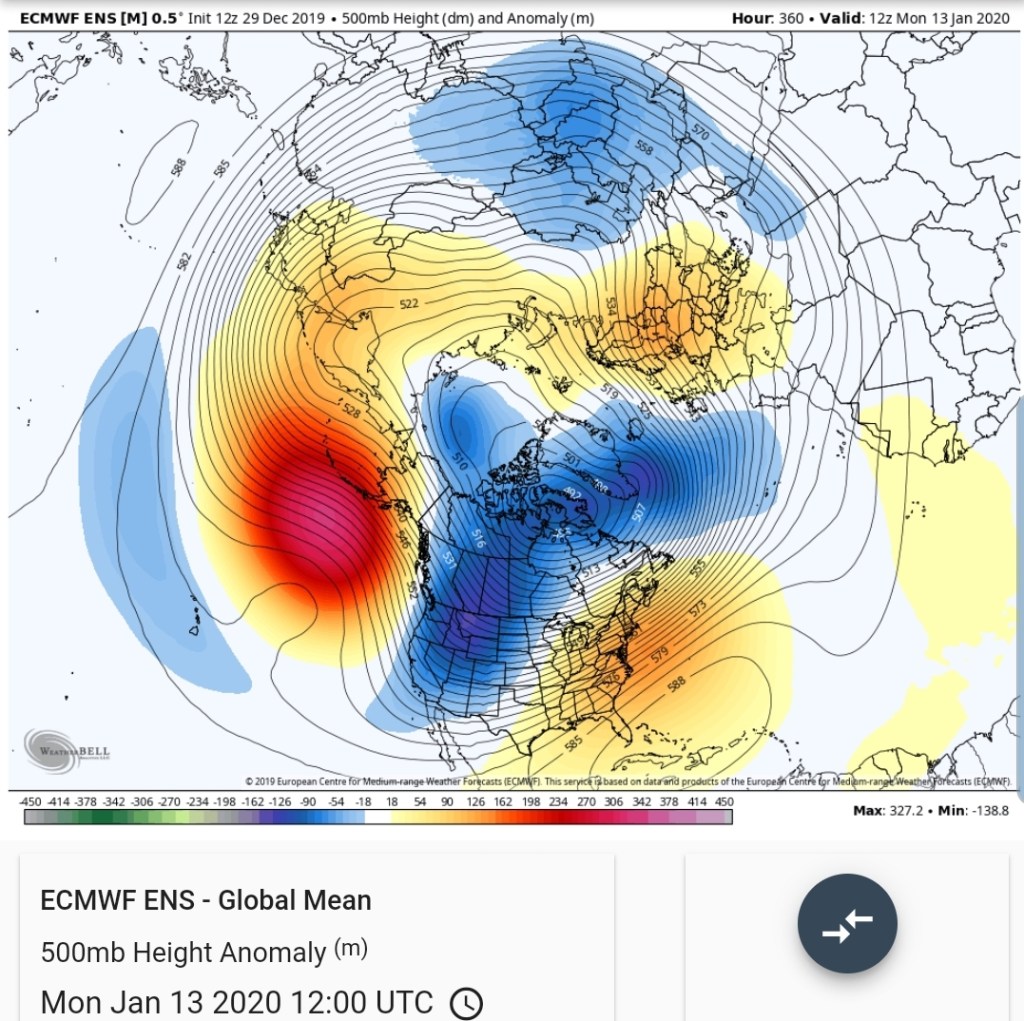
500mb Height anomalies off the 0z ECMWF ensemble
500mb height anomalies off the 6z GFS ensemble
500mb height anomalies off the 6z GFS operational
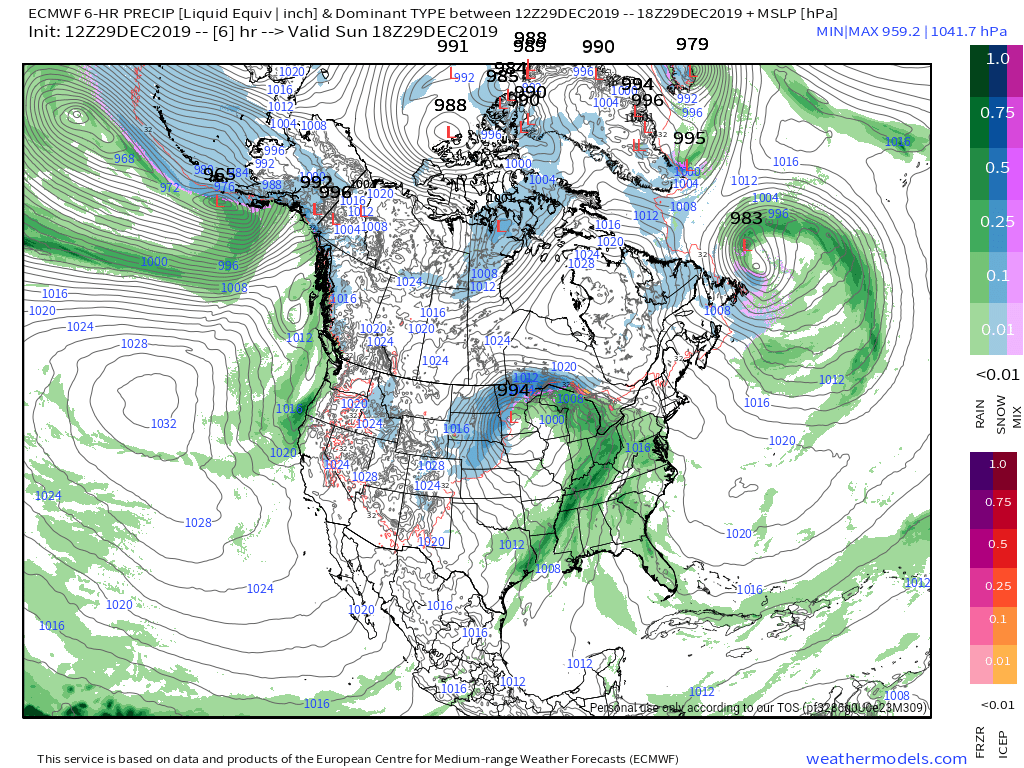
At the surface
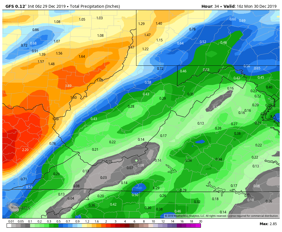
MSLP/6HR/PRECIP off the 6z GFS
While most modeling is in agreement to watch the 6-9th period, in what could be the best snow of the season to date. In the model world that is a long ways out, but it is good to see agreement and some consistency. Hopefully we see adjustments after that period for the better, because currently it does not look good.
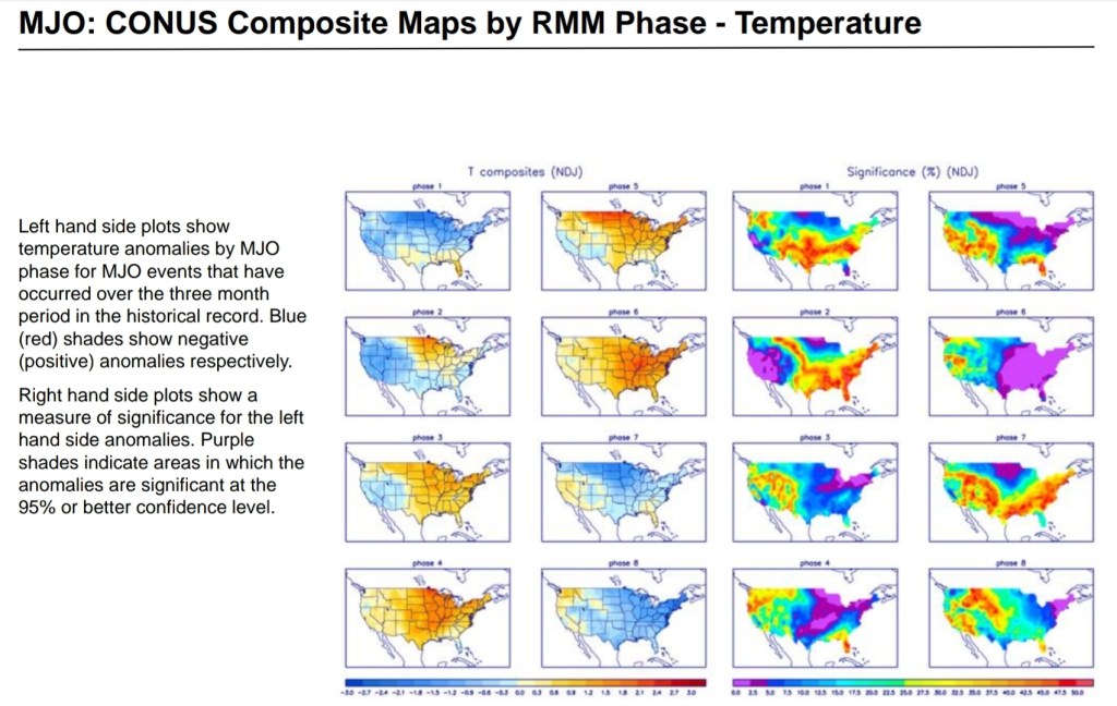
Along with the trough looking to sink in the west, southeast ridge strengthening backing support of the eastern ridge, this is also supported by the models MJO
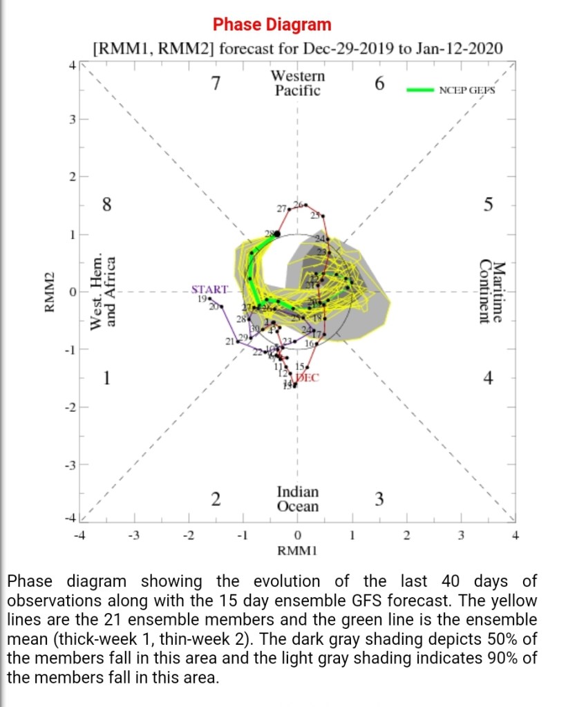
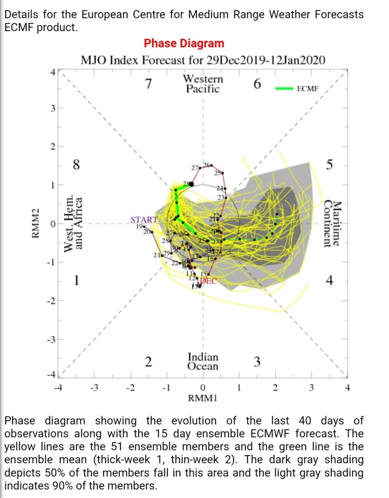
if we circle out into 4,5,6, that is just ugly. The correlation with those phases for the time of year are
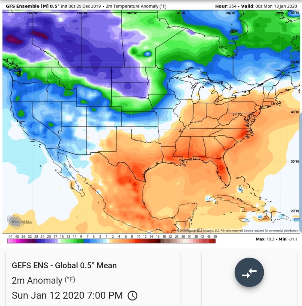
The Euro ensemble mean temps by the 12th look like

The GFS ensemble
Question is, when does it get kicked east?? Soon following that period in mid January or do we wait until later January or February? There is lots of cold back there to come of it can get east… With the Mjo looking ugly, trough west of Hawaii, trough western U.S, southeast ridge, this may not be in any hurry eastward. Things can change though. Never lose hope. While 1937 is one like example, and undeniably it does look a lot like it, and it may end up resembling it when all is said and done, but it is not etched in stone it that it will.
Evening addition to the 1937 theme
Day 15 ECMWF 500mb height anomalies
1937 Reanalysis 500mb Height anomalies. Strong positives off Alaska, trough west of Hawaii, trough western U.S, eastern ridging…

Back to the now:
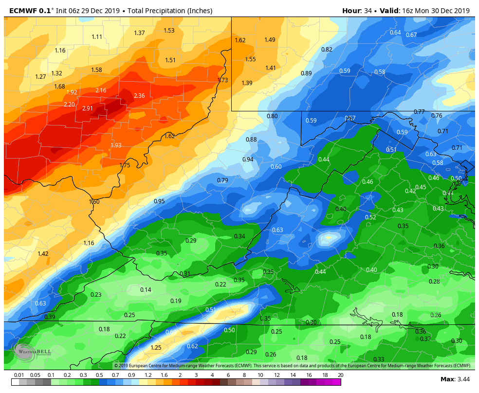
Rainy today into tomorrow
Models putting out +/- a half inch. More west
Temp begin falling later Monday and especially overnight. Maybe into the snow making realm…best snow making opportunity though comes Tuesday night straight through Wednesday night
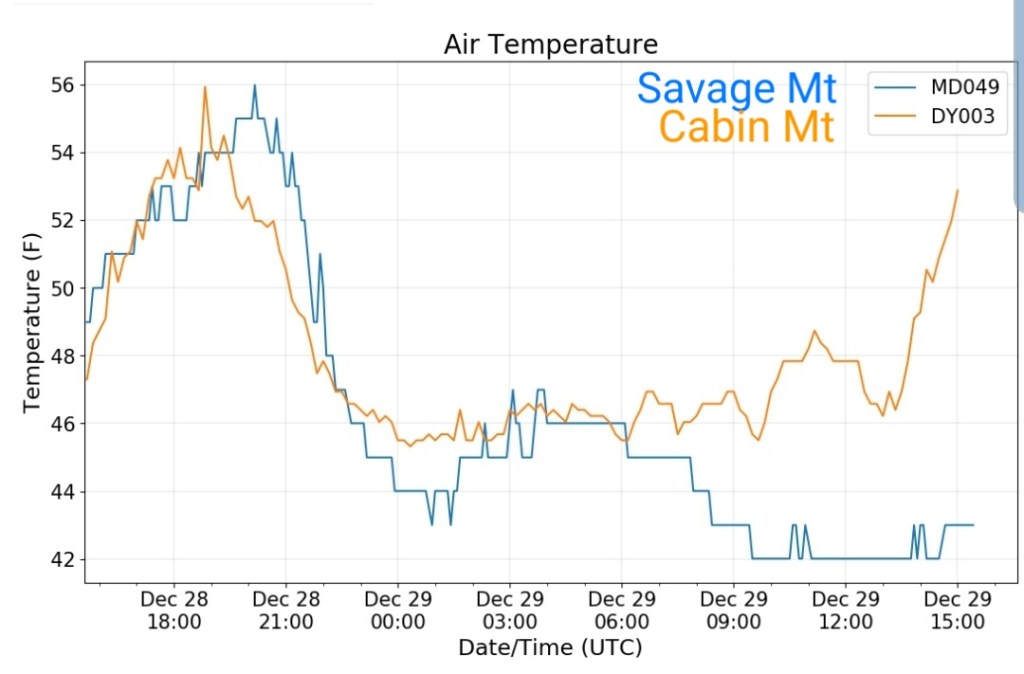
Temps off the 3km Nam. The fascinating boundary across Garrett today into early Monday, not cold, just chillier than areas south and west of the boundary. Those areas will be mild to warm.
Case in point, this morning the separation from Savage Mt in east Garrett to Cabin Mt in Tucker is evident
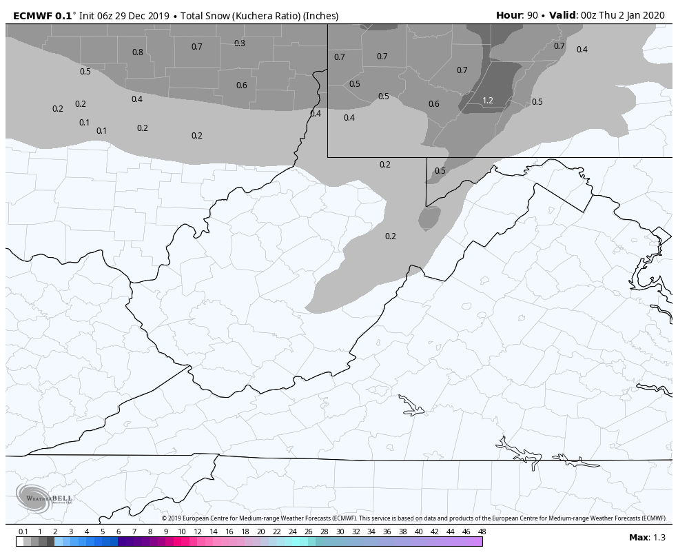
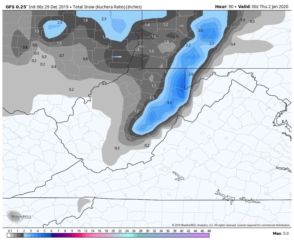
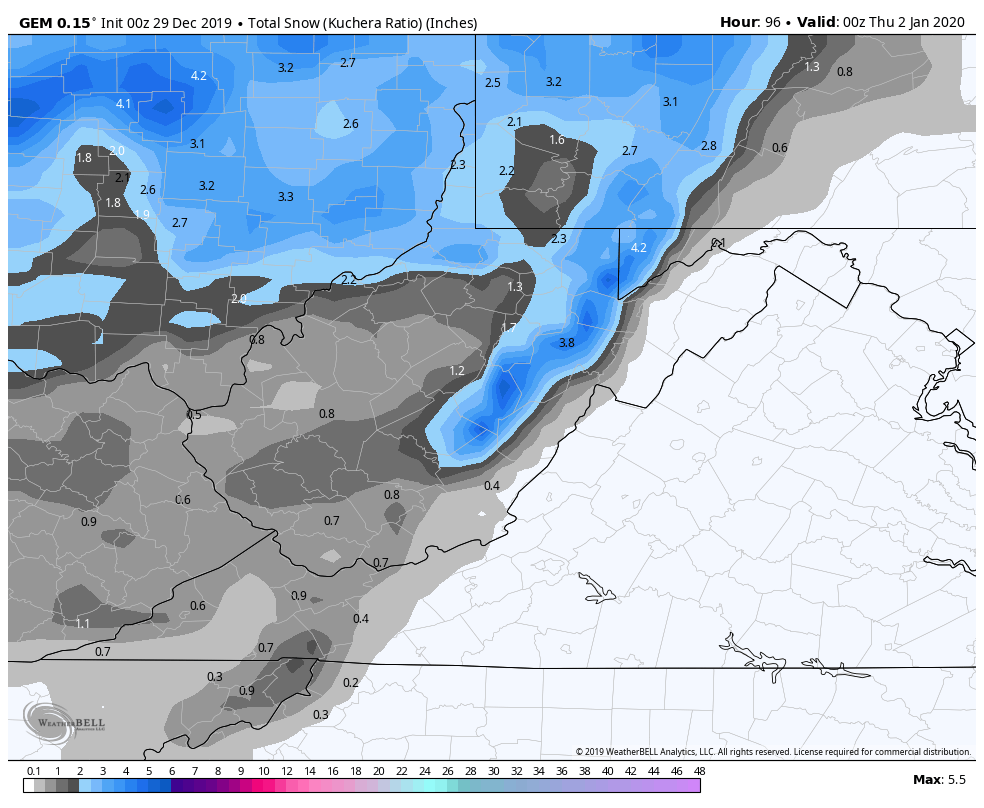
Snowfall Tuesday into early Wednesday
First the GFS and Canadian
Then once again the ECMWF takes a step back…hmmm