Dec 11(Wed)
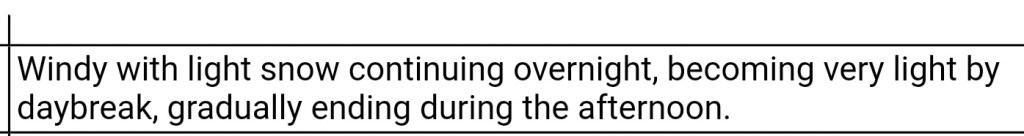
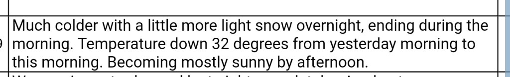
Morning light snow, otherwise clearing and windy. Remaining cold.
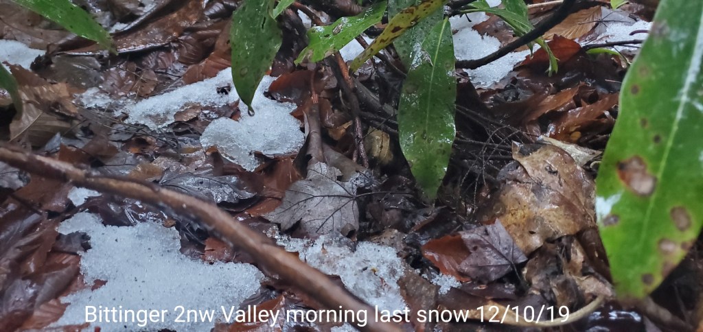
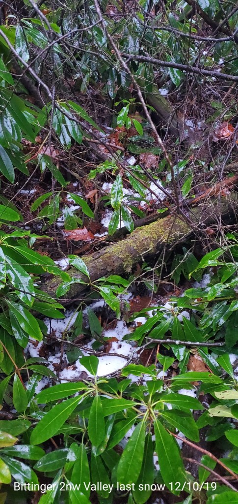
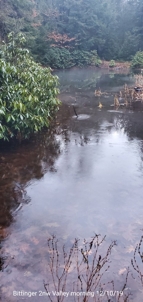
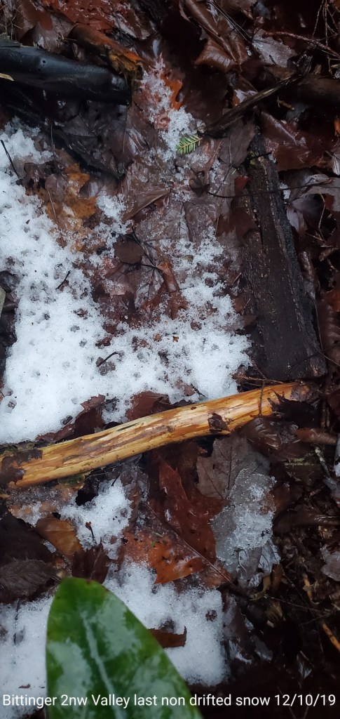
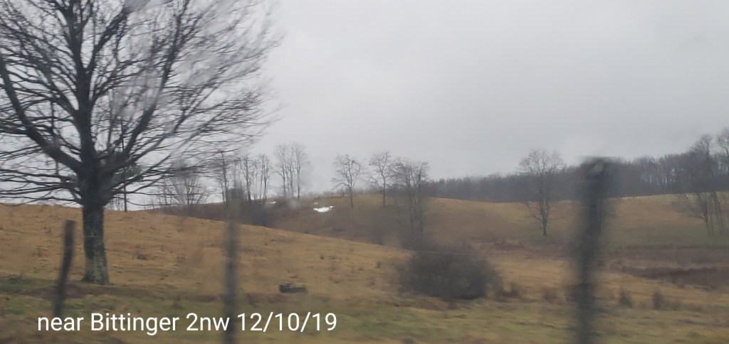
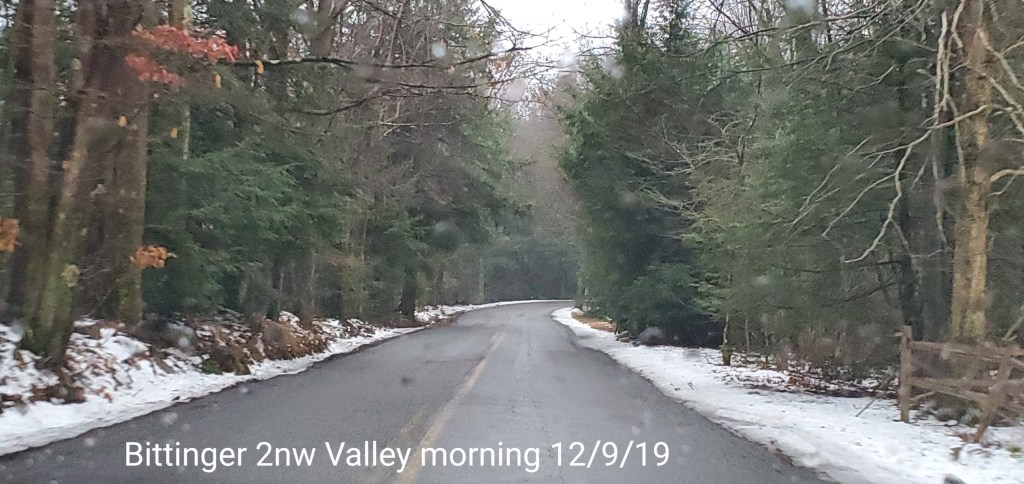
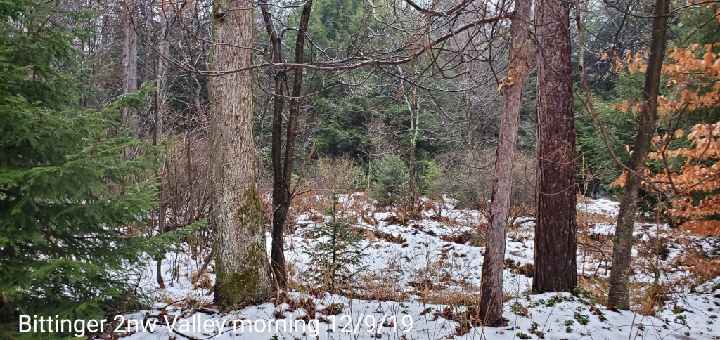
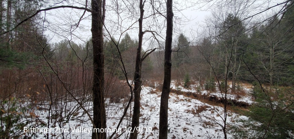
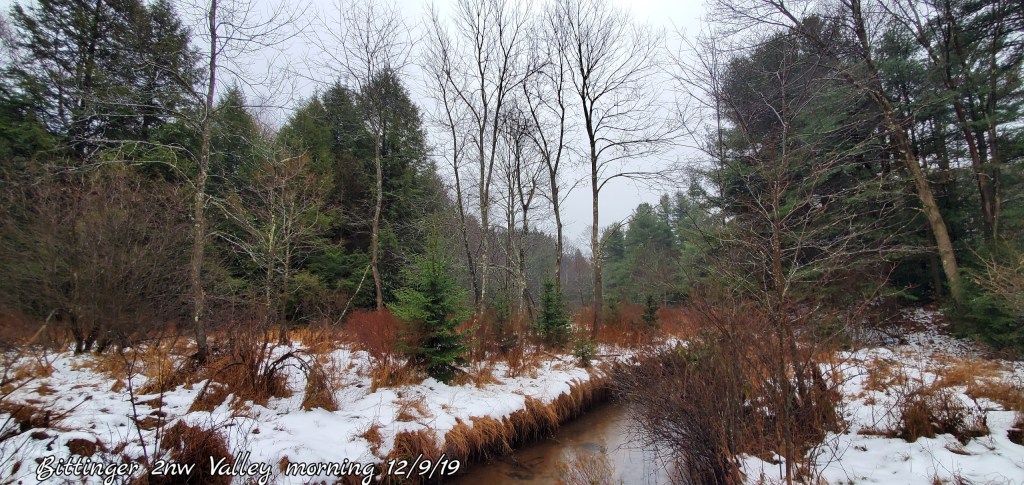
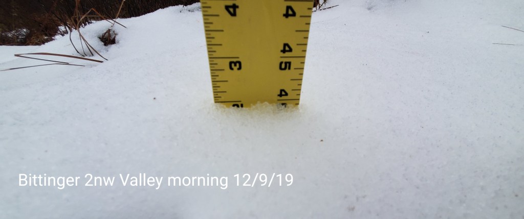
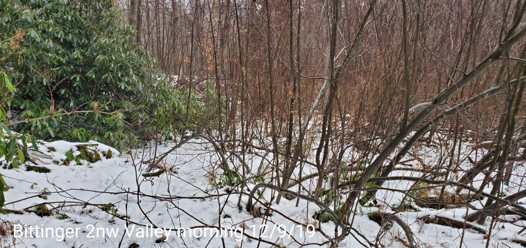
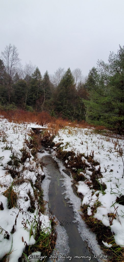
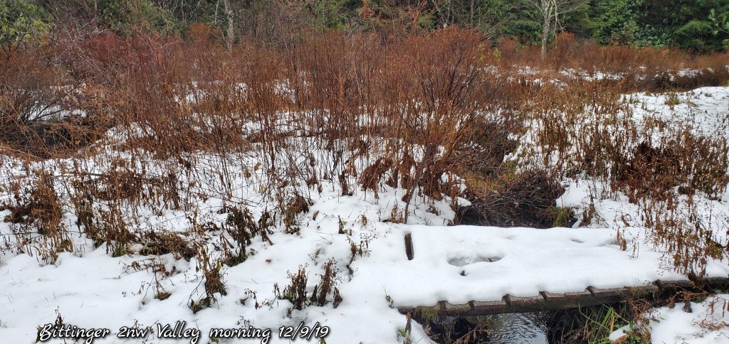
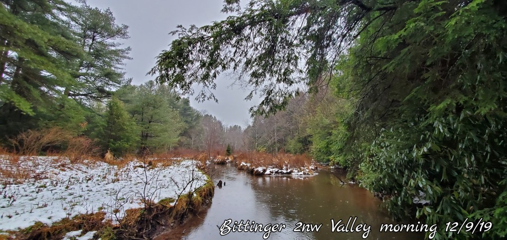
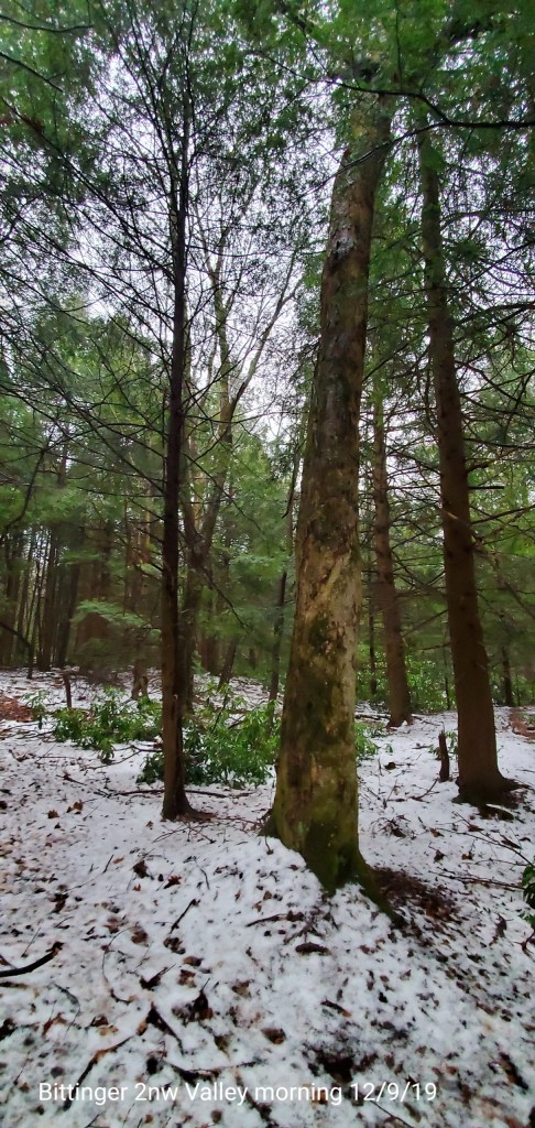
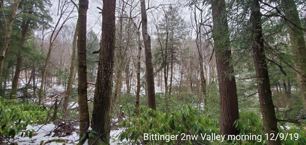
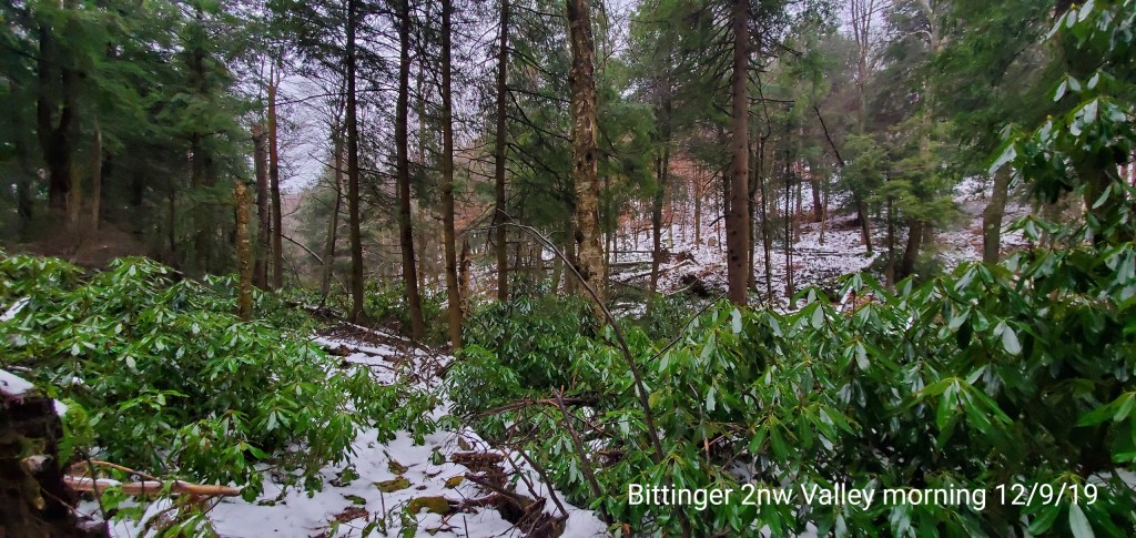
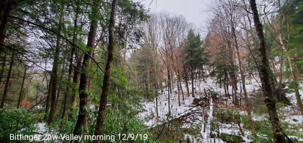
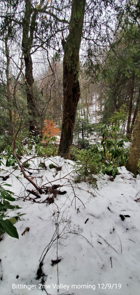
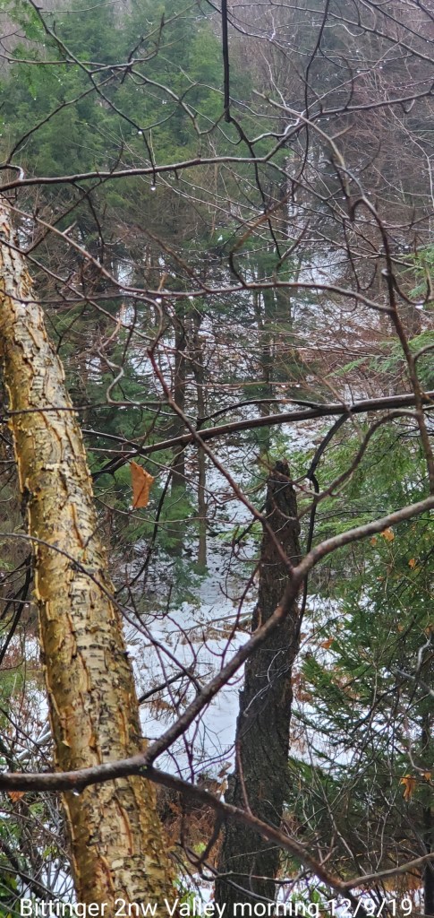
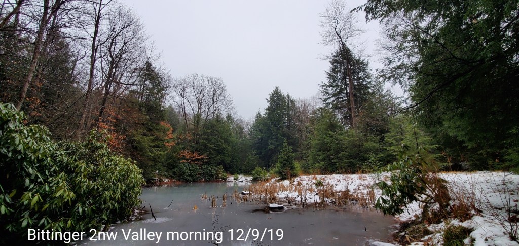
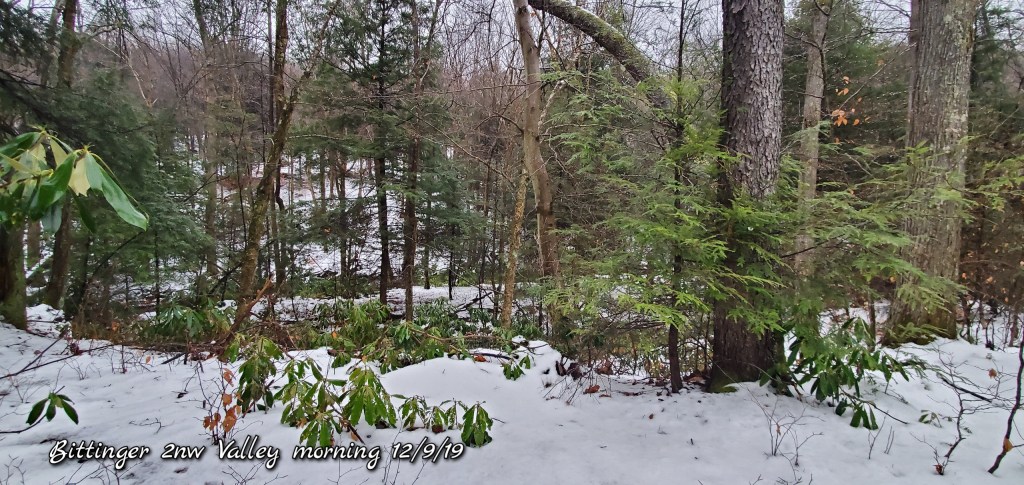
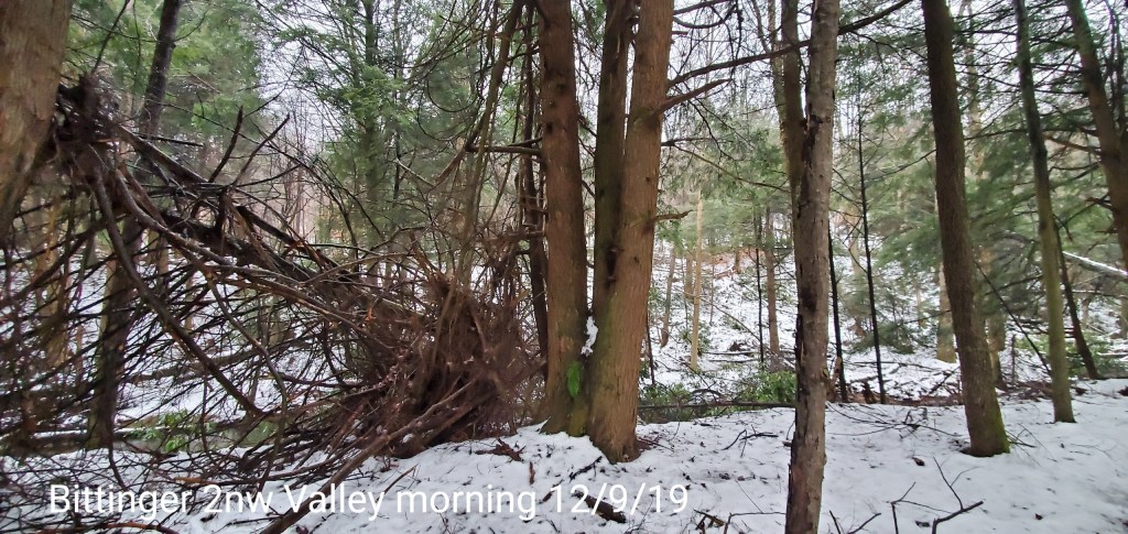
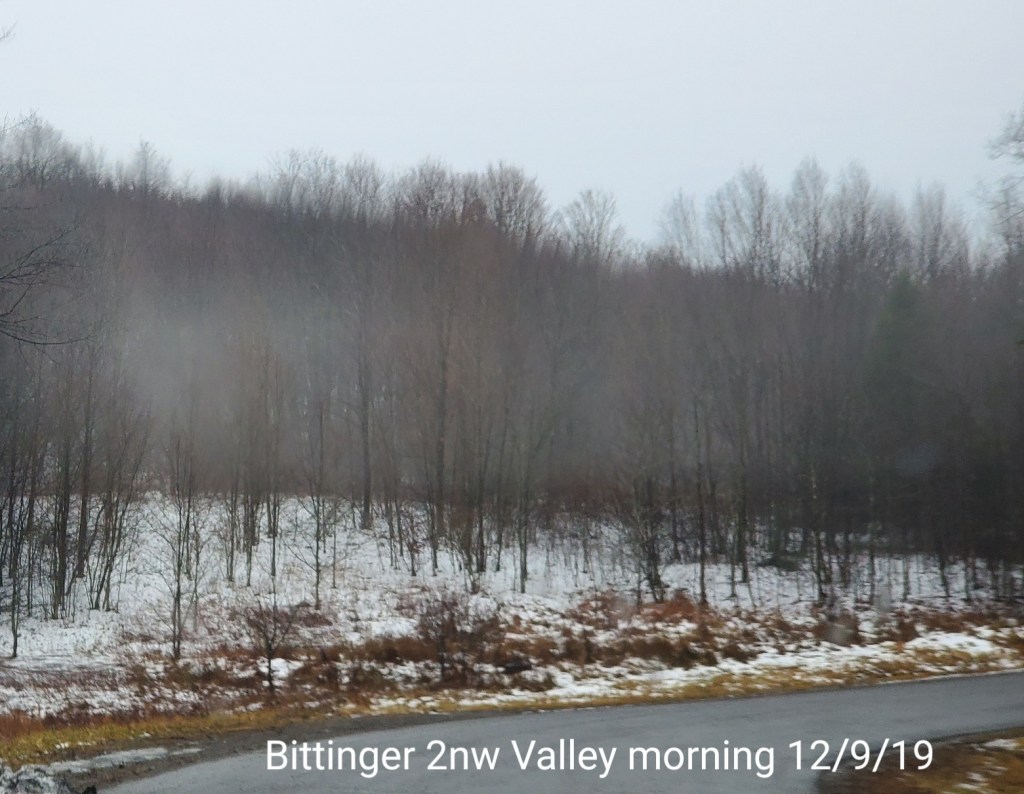
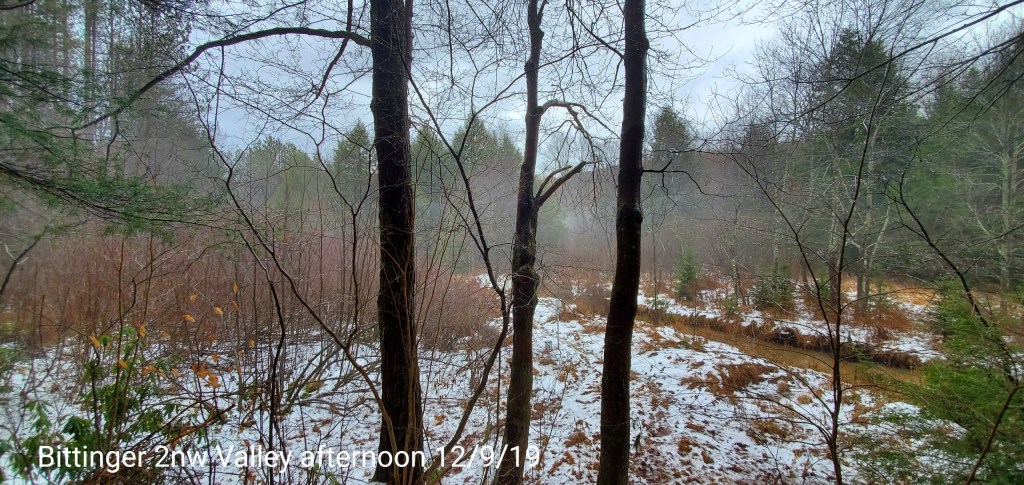
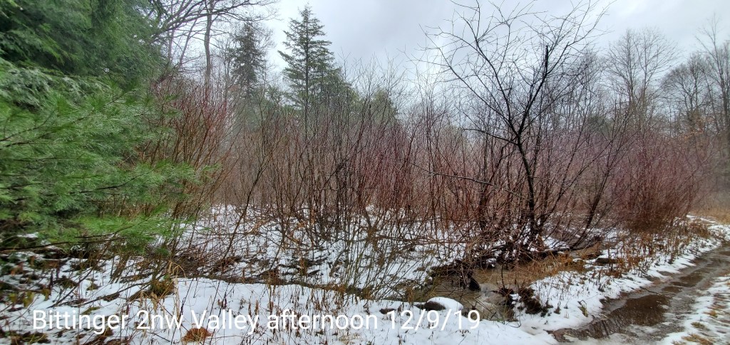
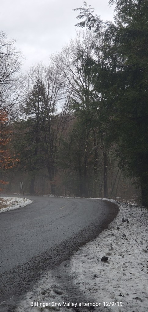
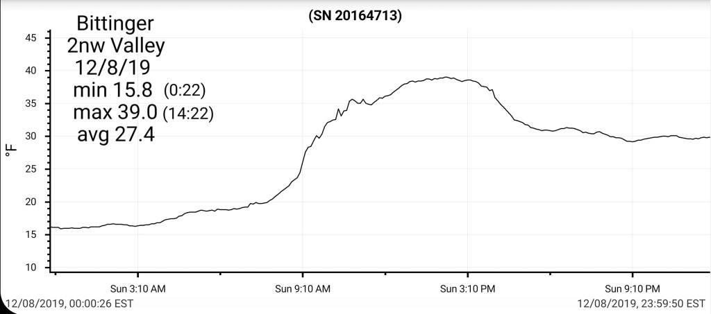
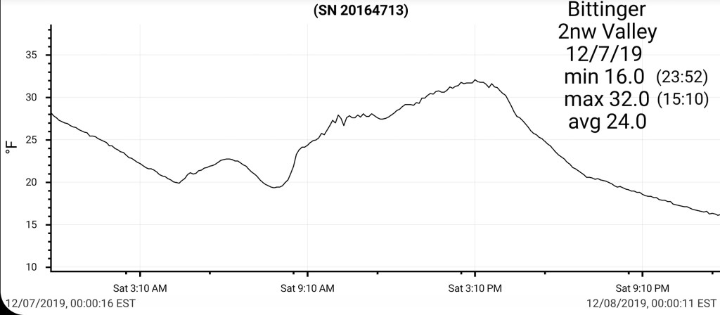
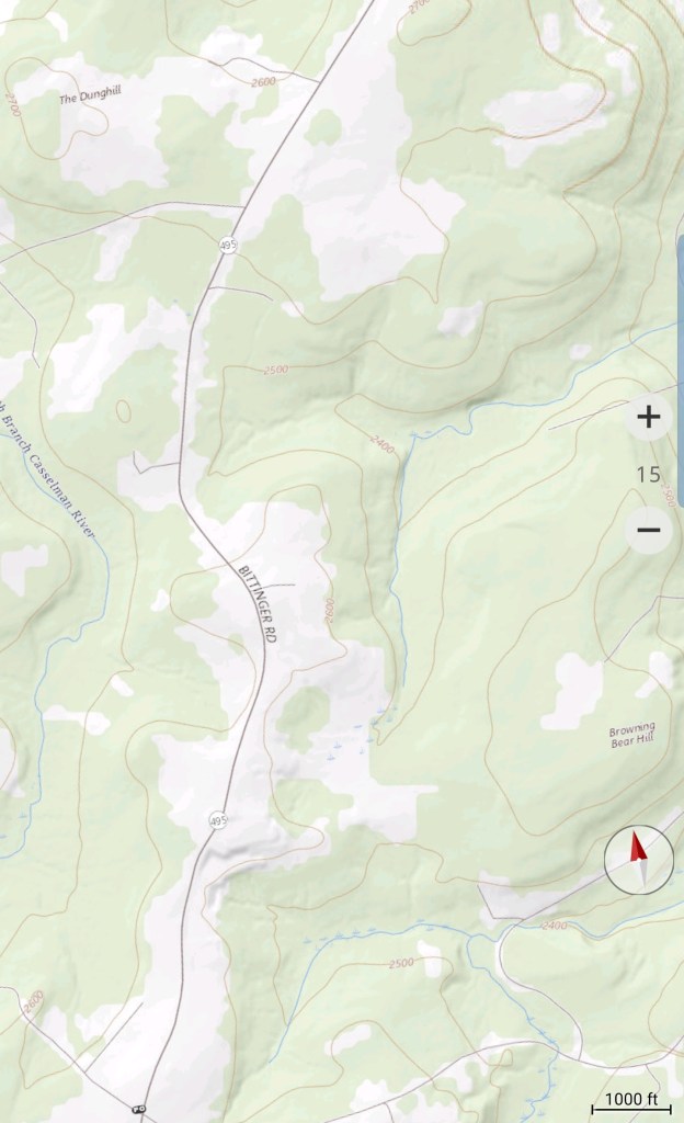
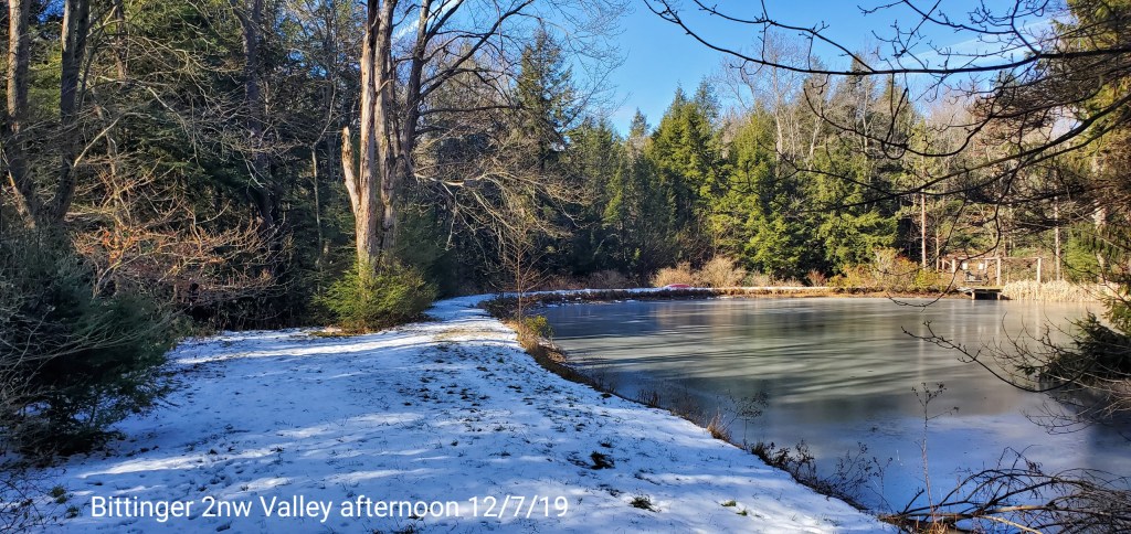
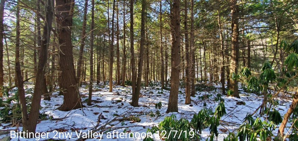
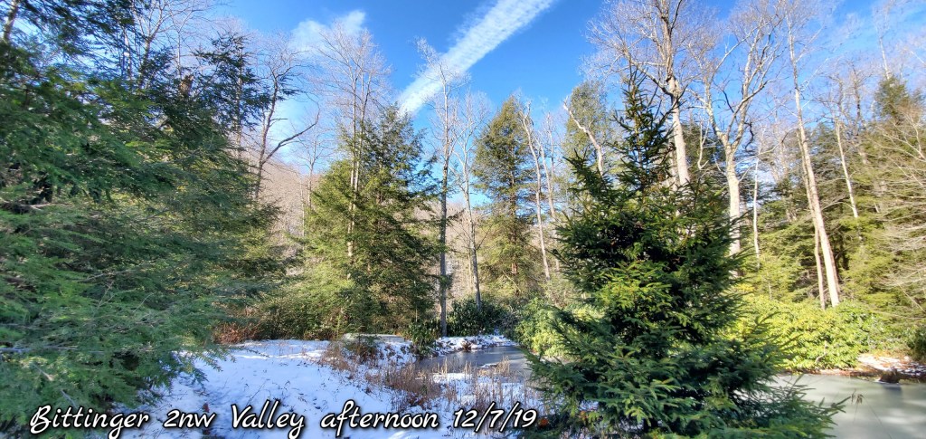
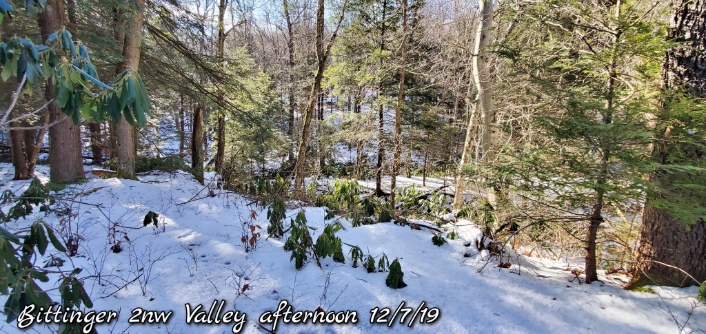
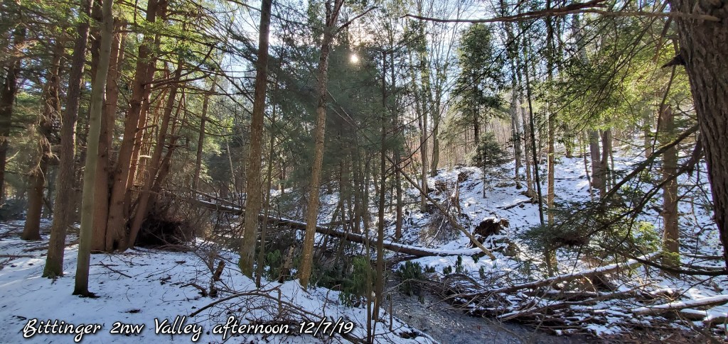
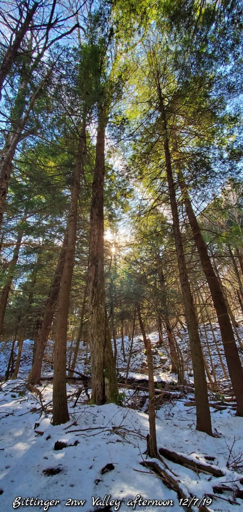
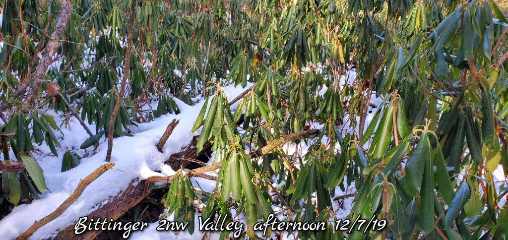
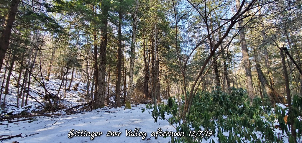
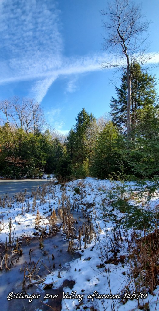
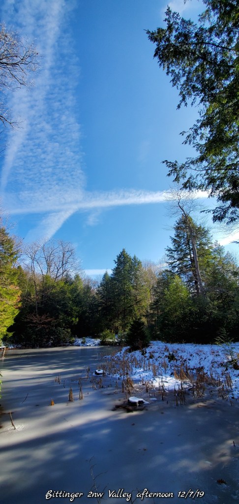
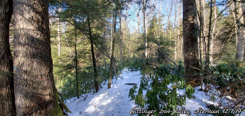
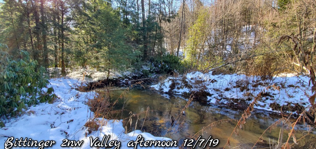
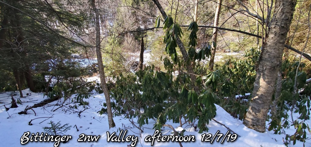
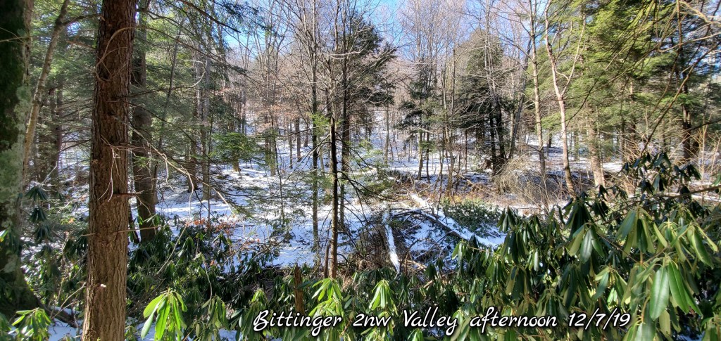
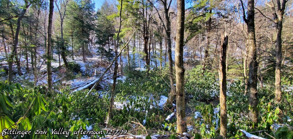
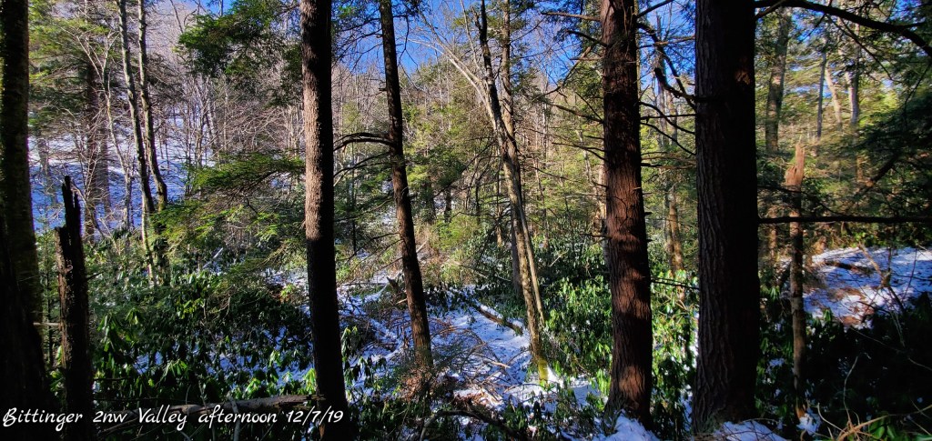
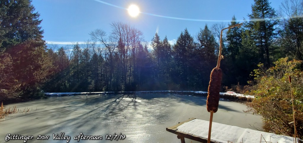
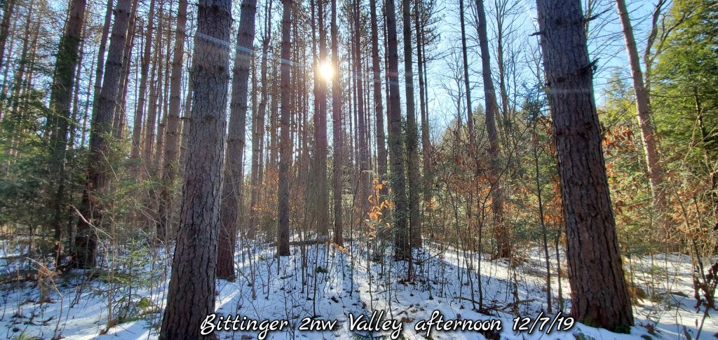
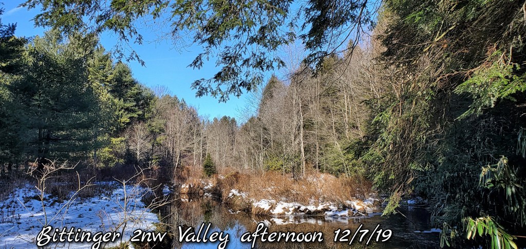
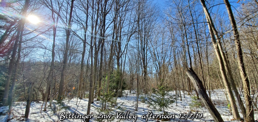
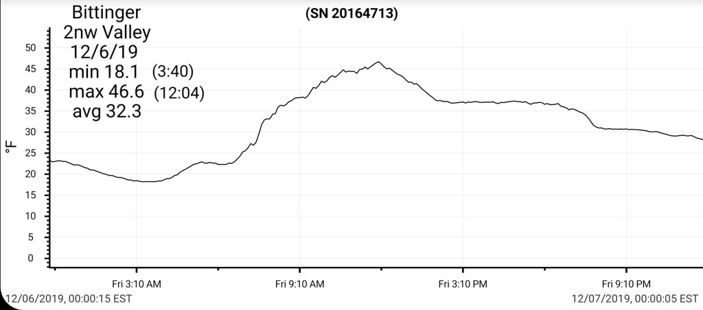
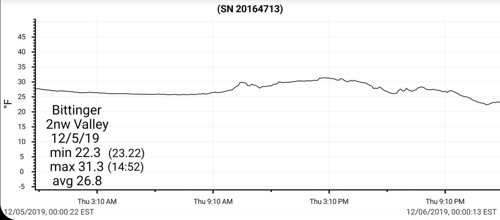
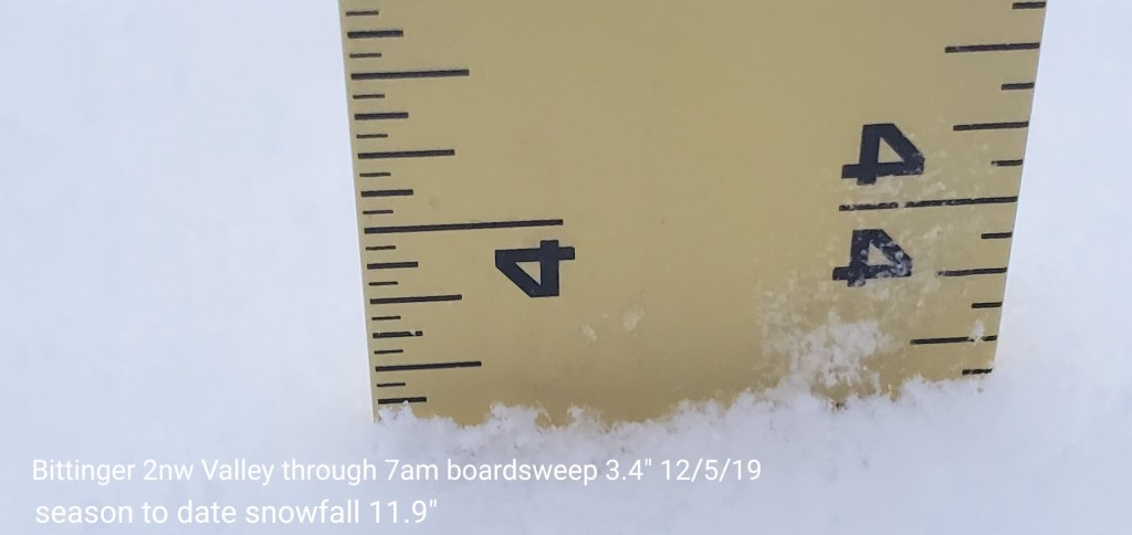
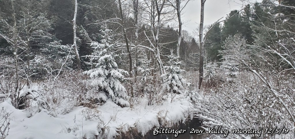
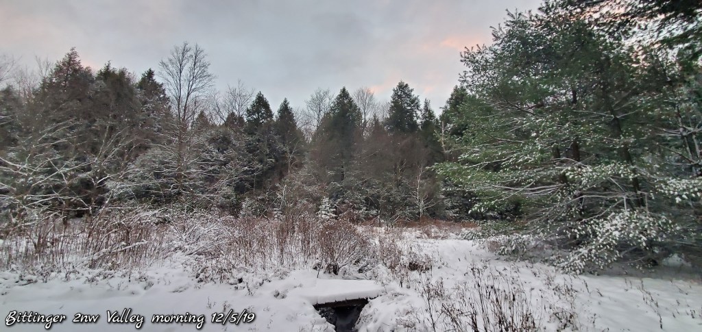
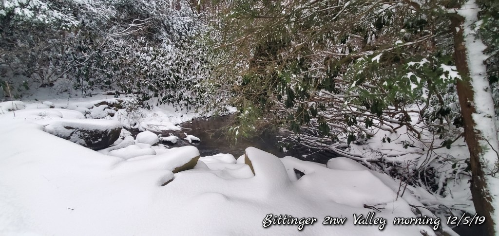
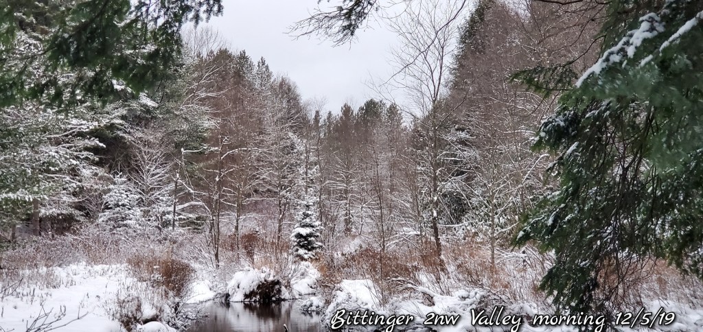
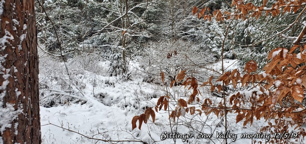
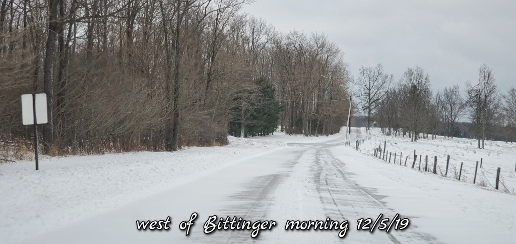
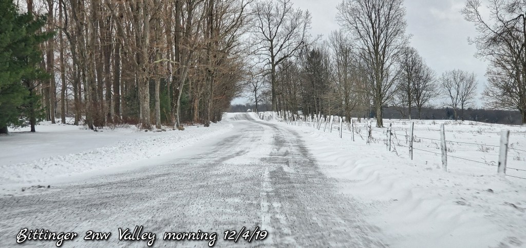
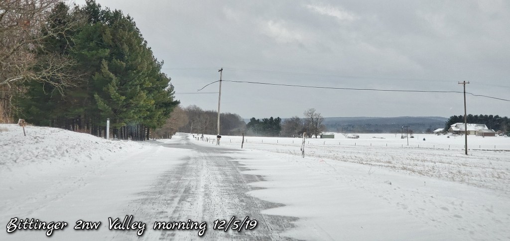
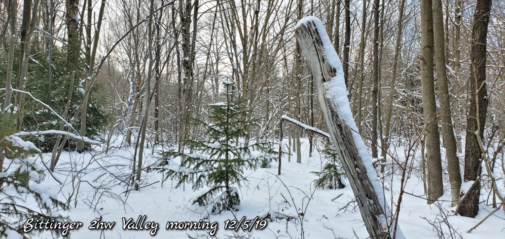
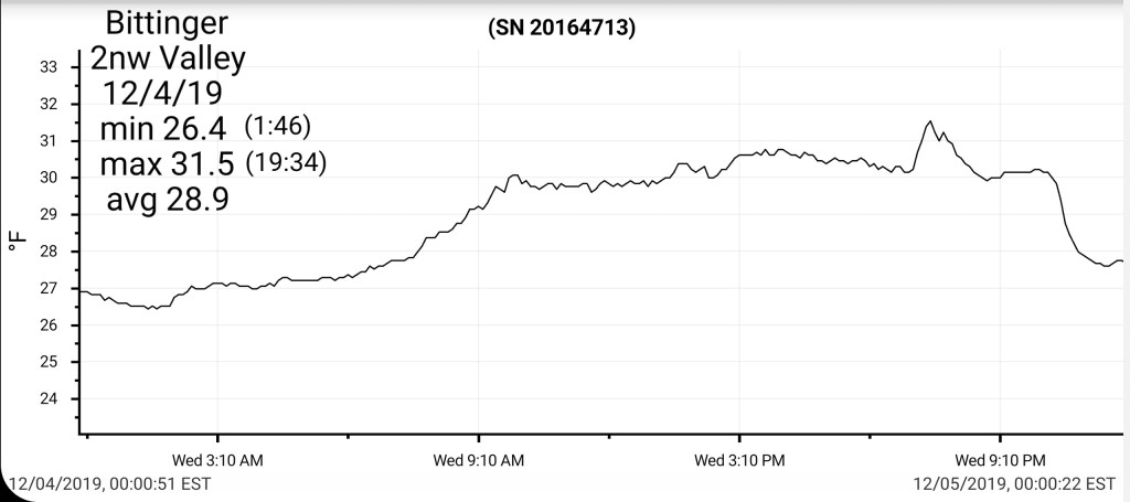
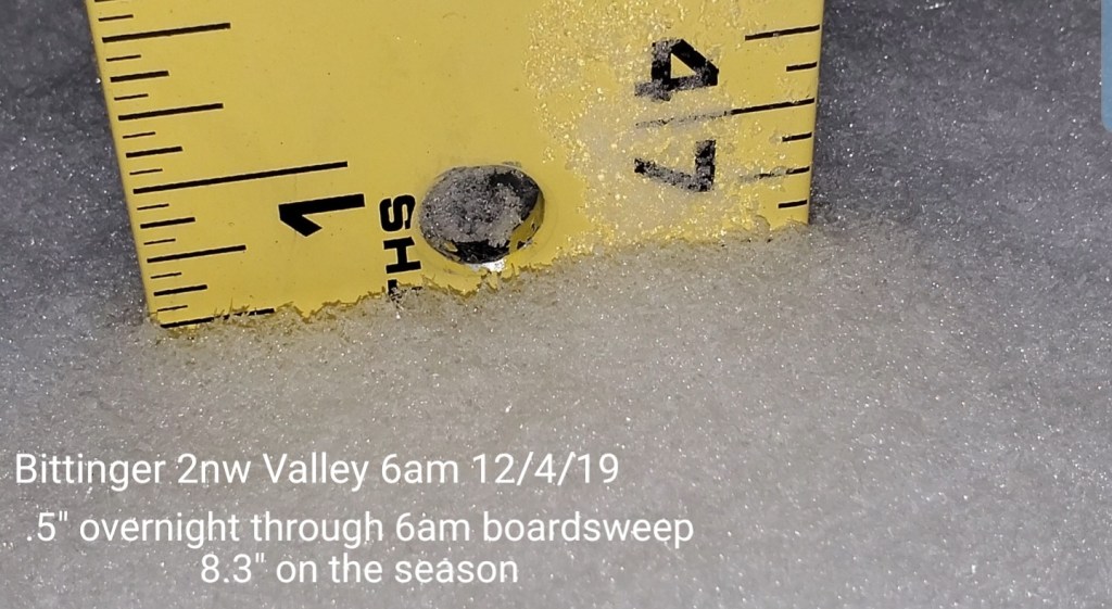
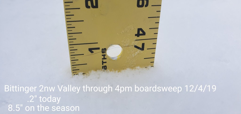
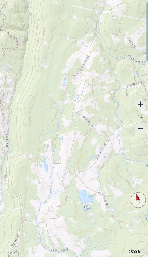
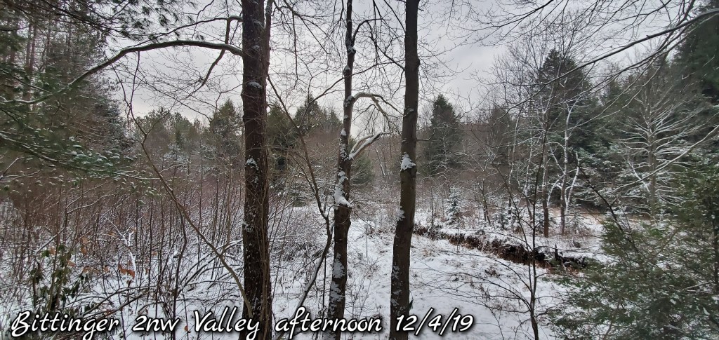
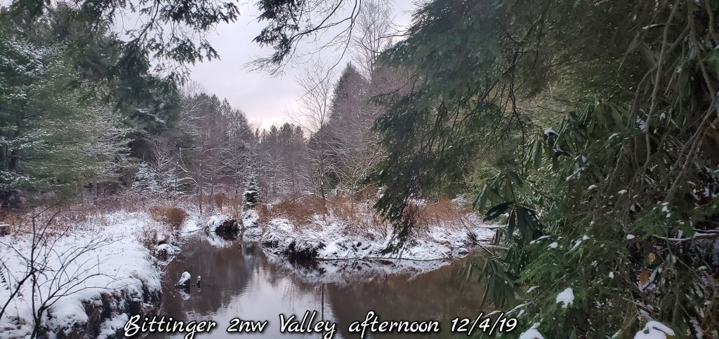
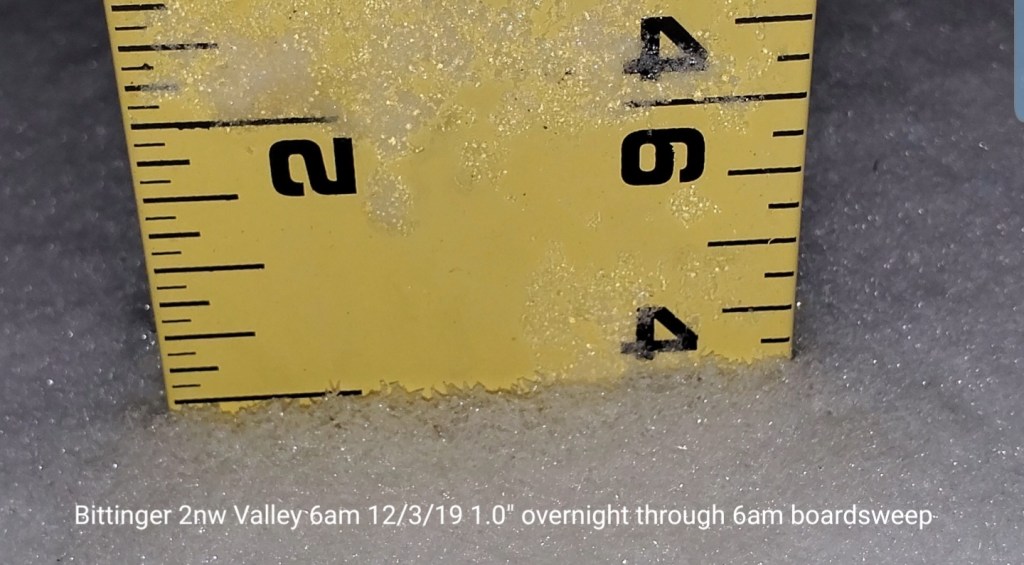
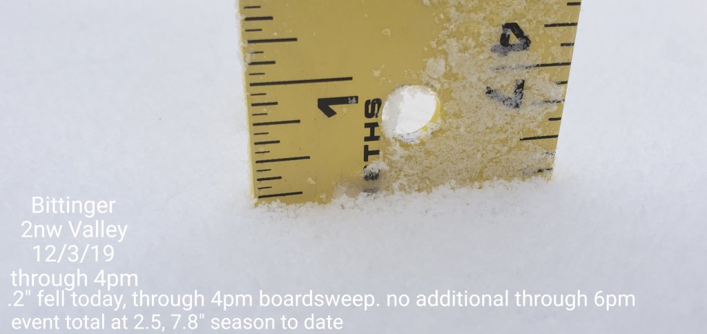
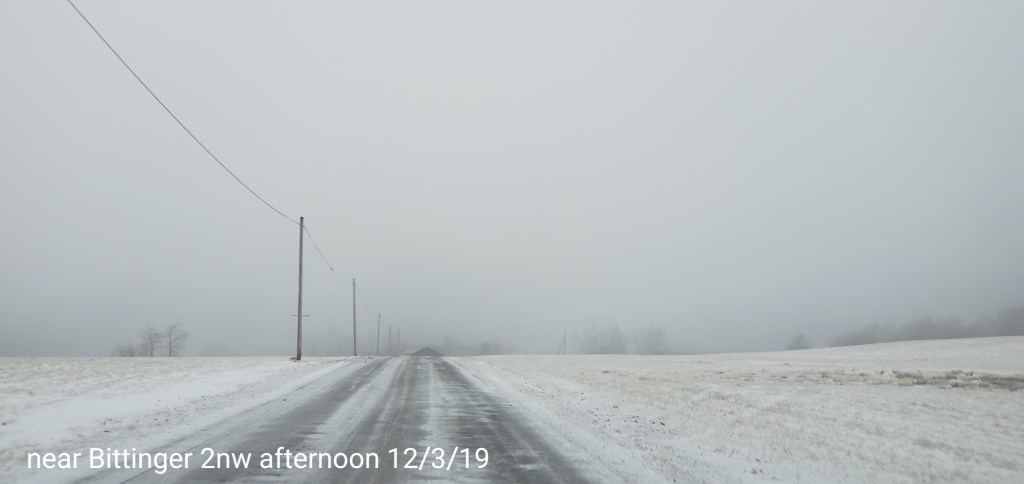
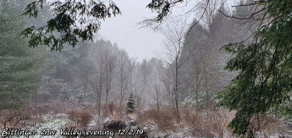
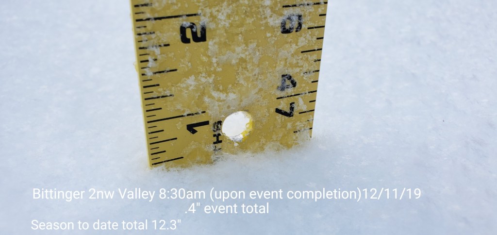
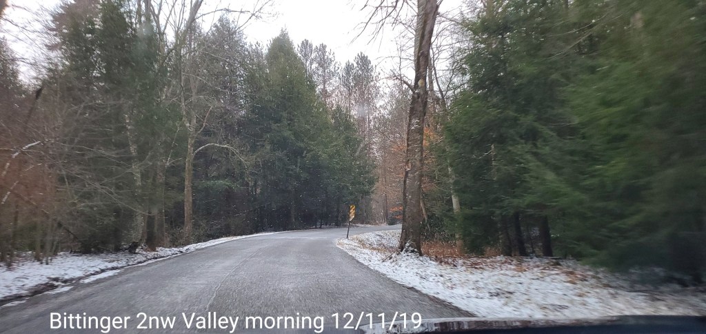
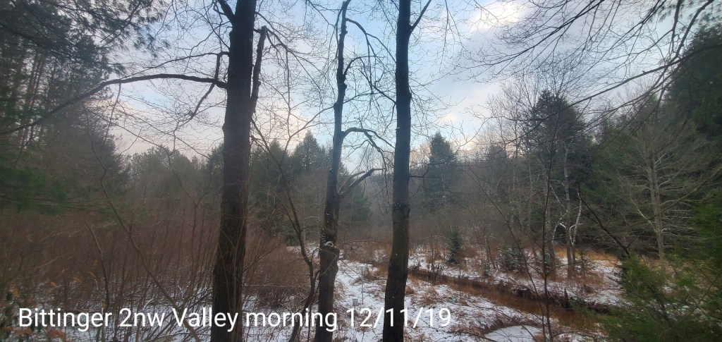
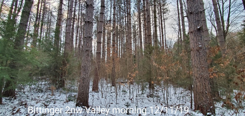
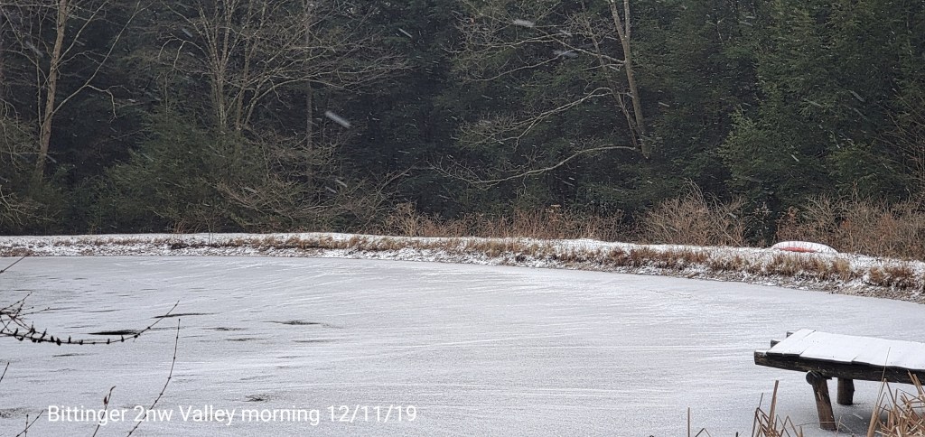
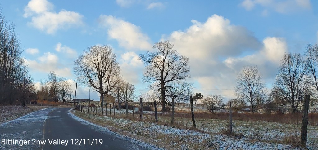
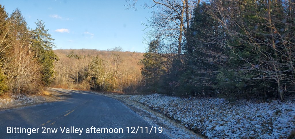
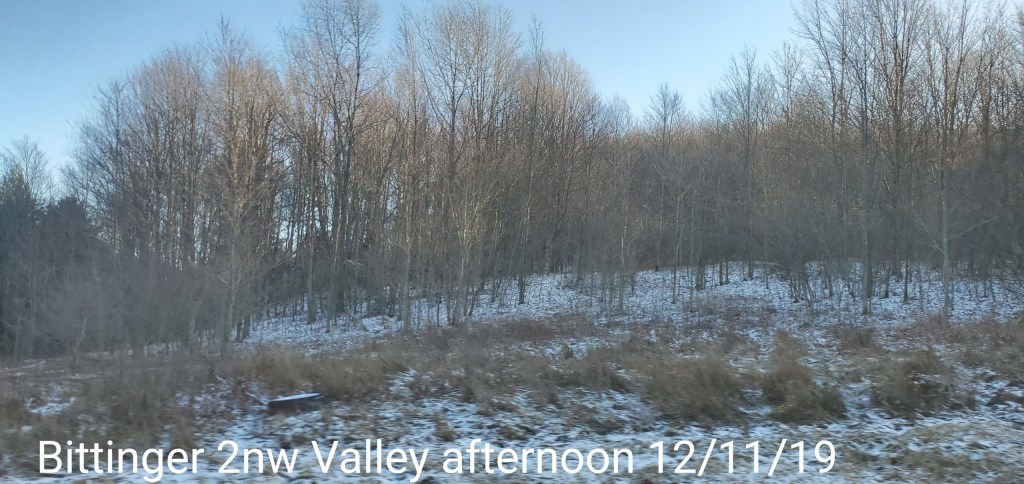
Bittinger 2nw Valley
MIN[17.1]—MAX[23.5]—AVERAGE MEAN[20.3]—TRUE AVERAGE[21.0]

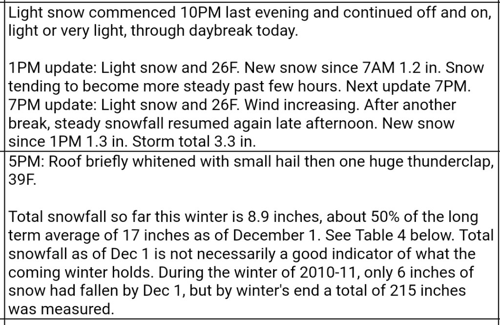
Snowfall through event completion at 8:30am of .4″ new
Season to date total snowfall of 12.3″
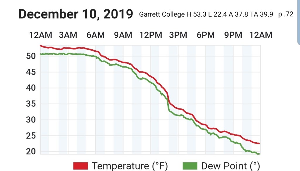
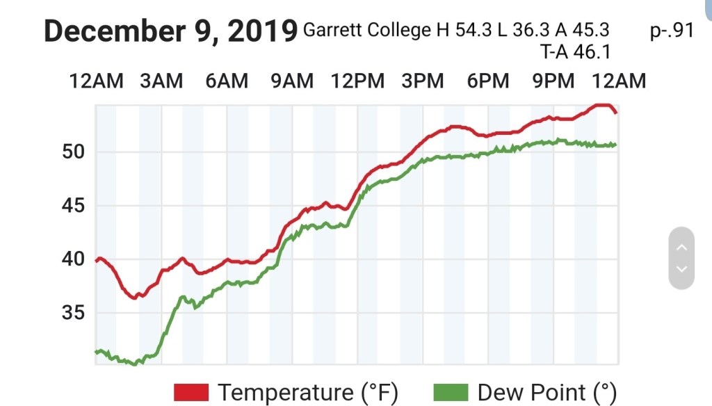
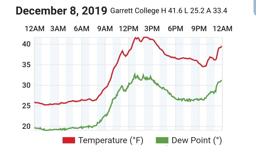
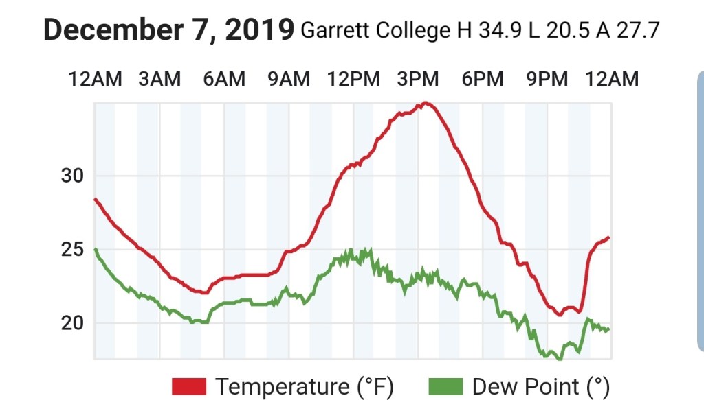
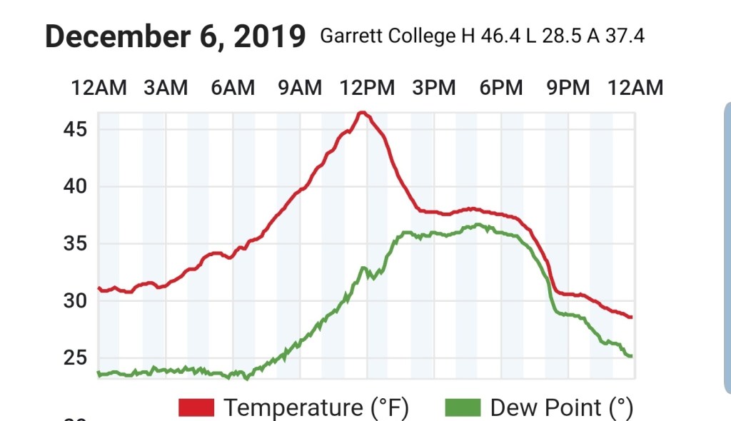
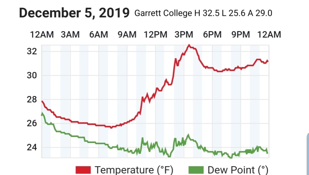
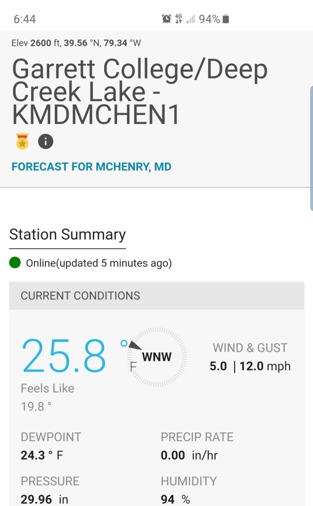
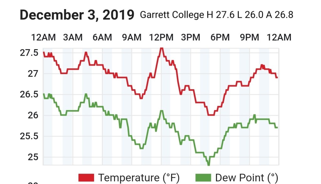
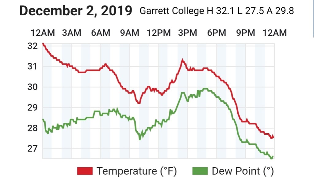
Garrett College
MIN[16.7]—MAX[23.9]—AVERAGE MEAN[20.3]—TRUE AVERAGE[21.0]—PRECIP[F]

Canaan Heights/Davis 3SE
MIN[13.9]—MAX[20.0]—AVERAGE MEAN[16.9]—PRECIP[.53]7am
Snowfall 1.3″ new snowfall
Season to date total snowfall 20.5″
Comments by Dave Lesher
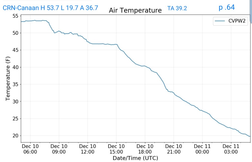
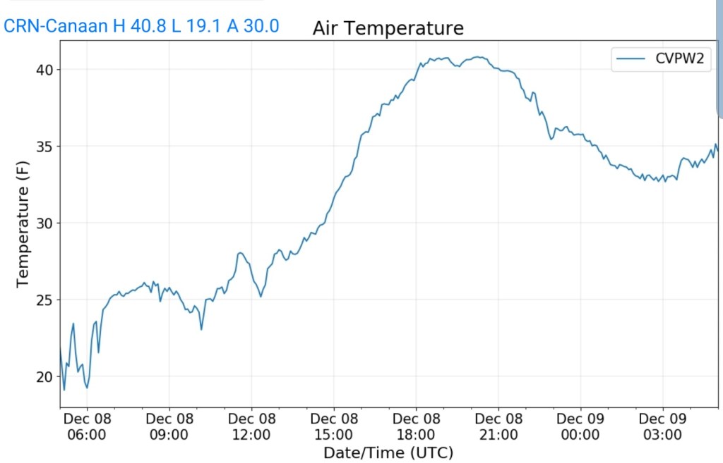
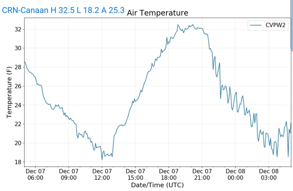
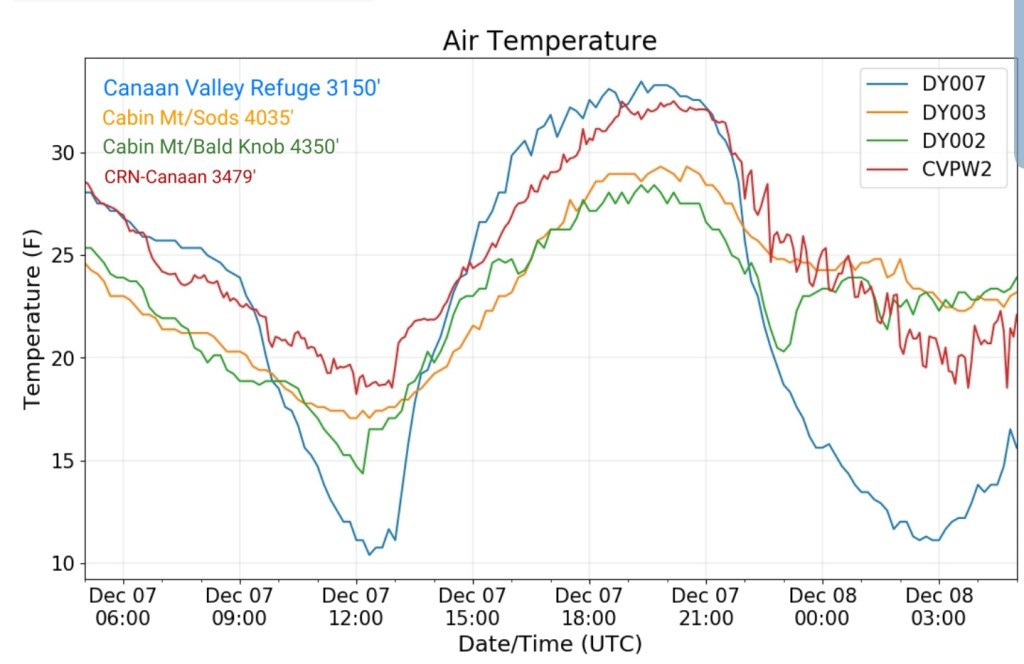
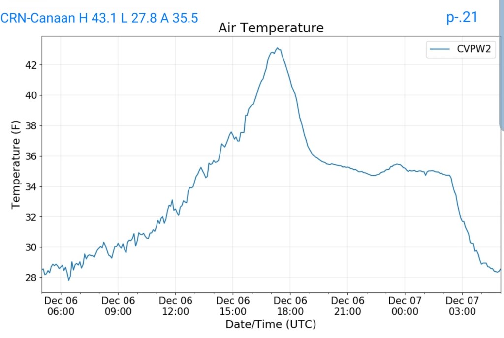
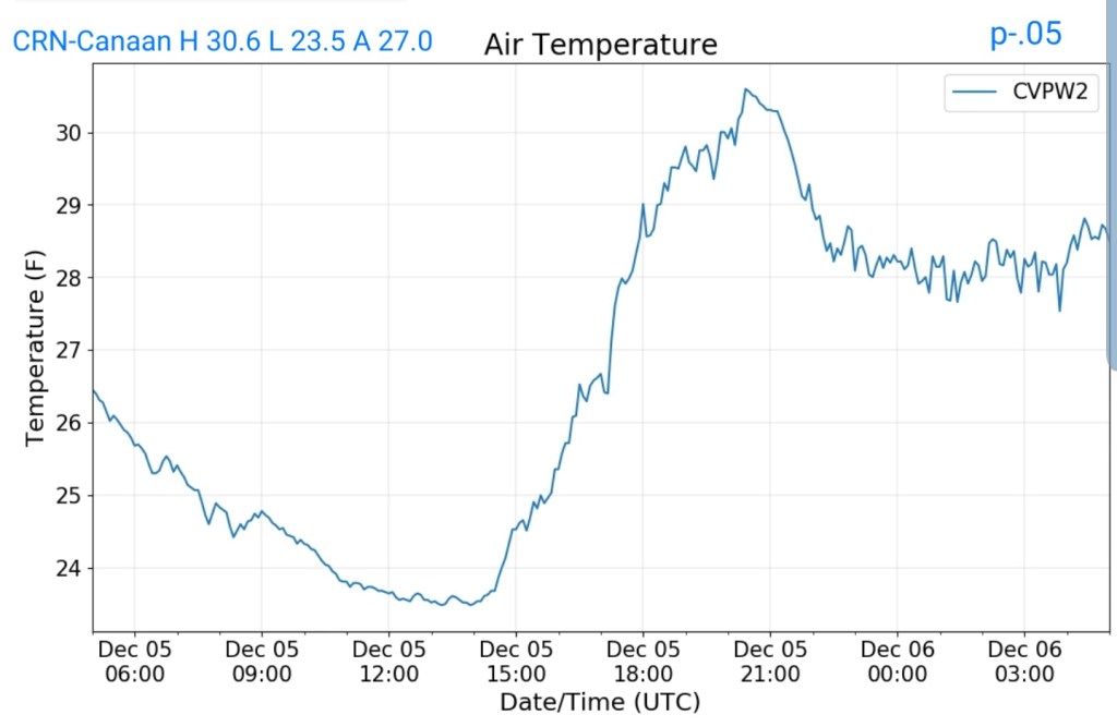
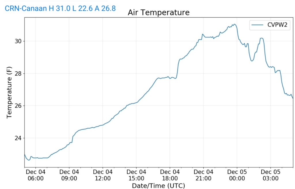
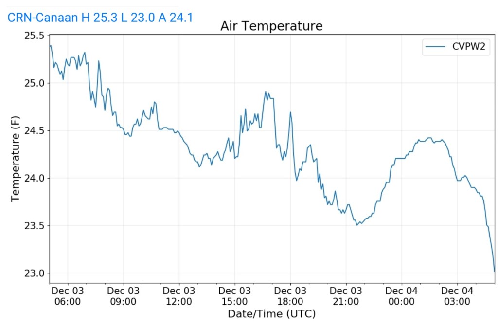
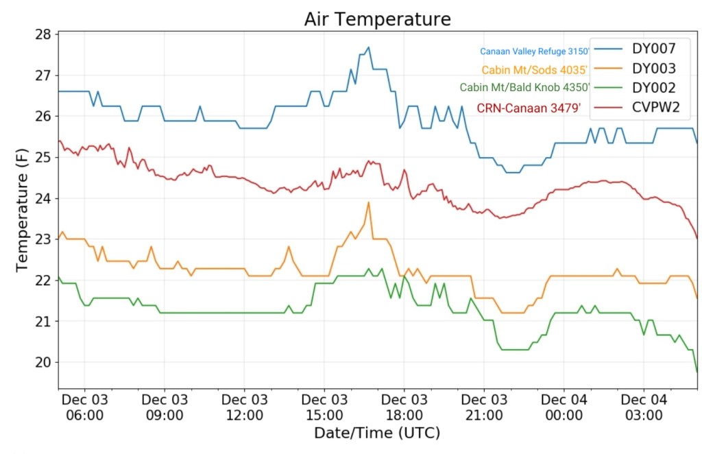
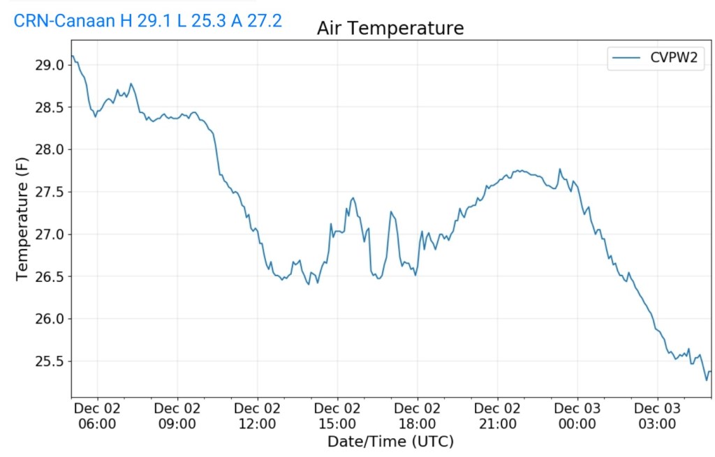
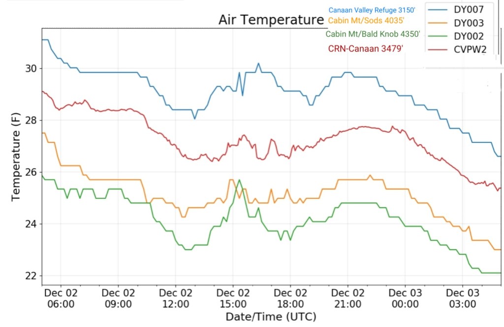
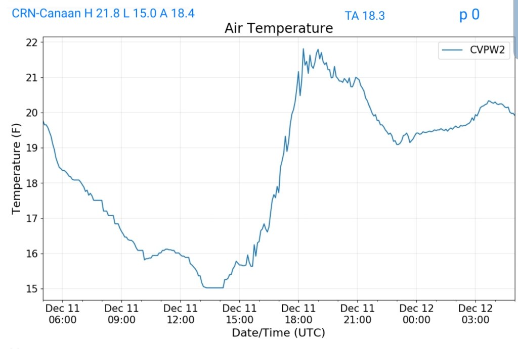
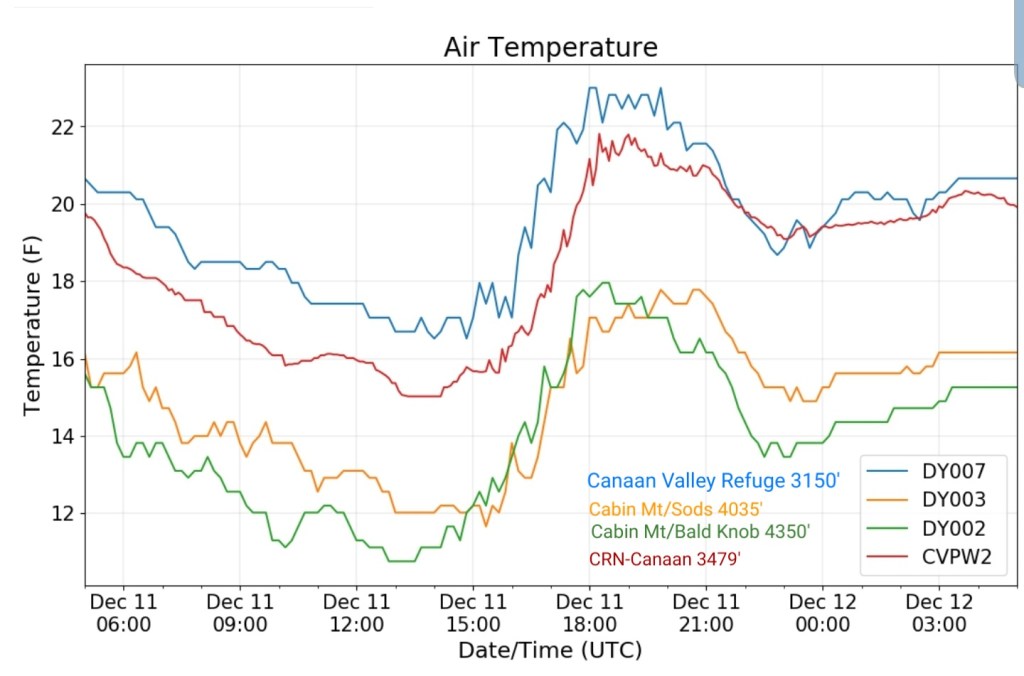
Climate Reference Network Canaan
MIN[15.0]—MAX[21.8]—AVERAGE MEAN[18.4]—TRUE AVERAGE[18.3]—PRECIP[0]
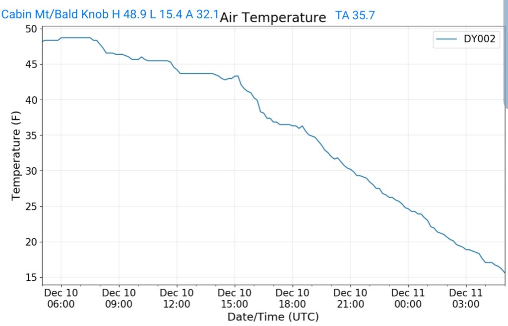
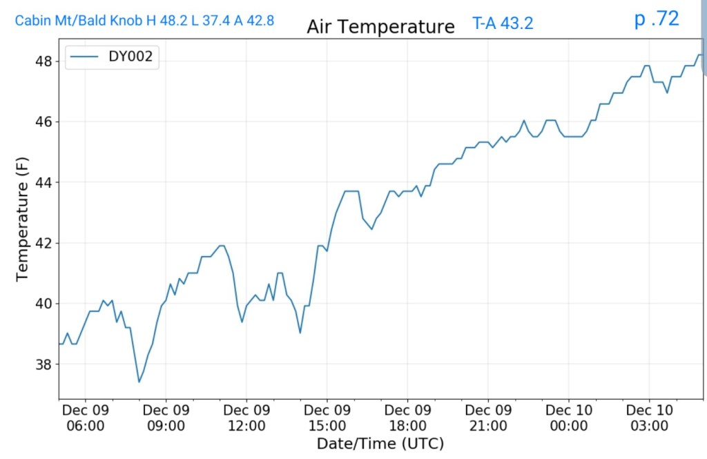
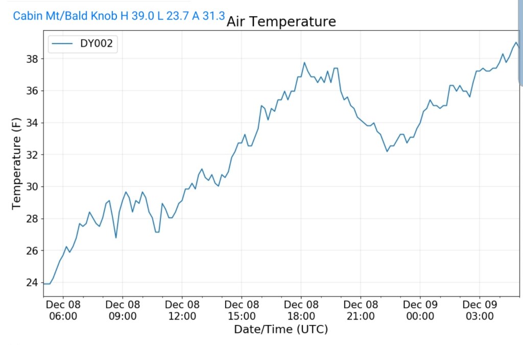
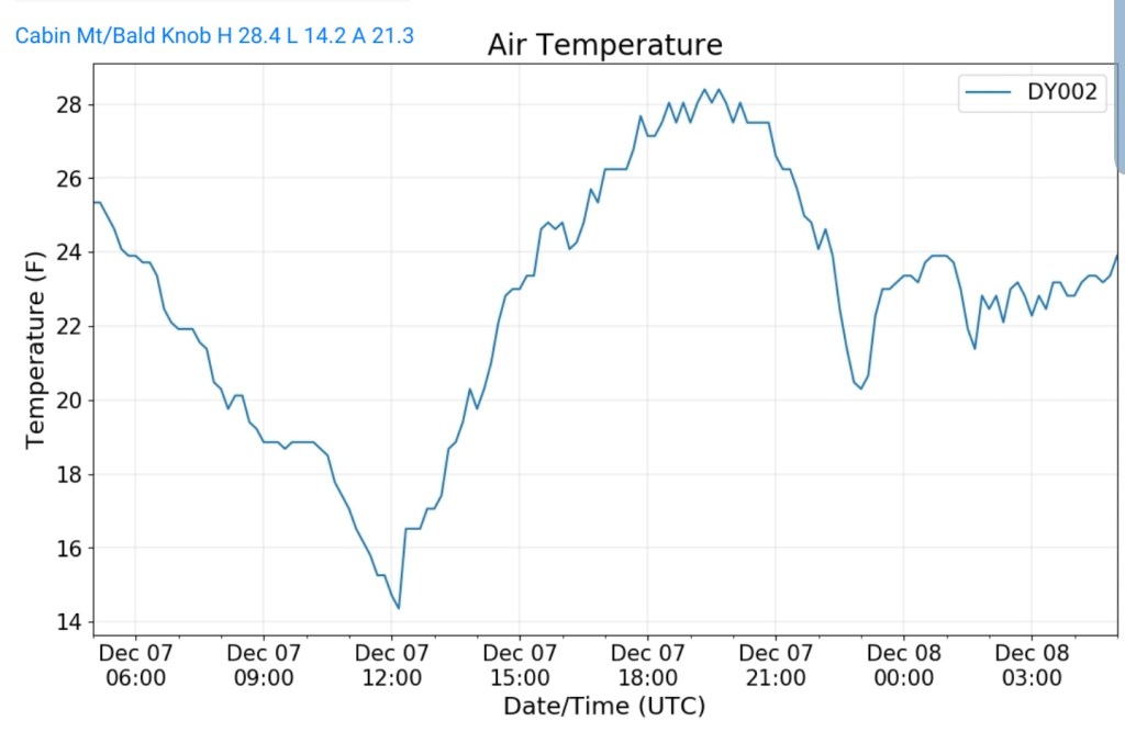
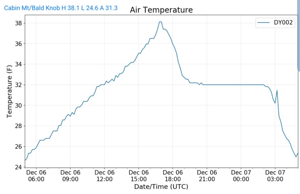
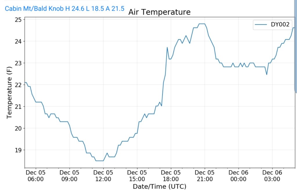
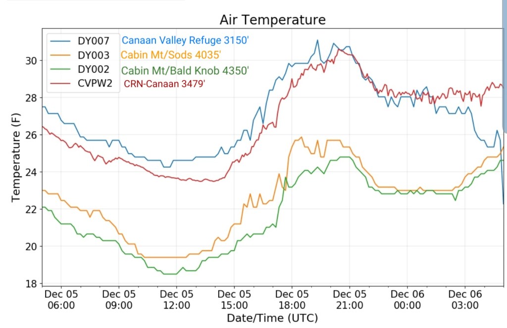
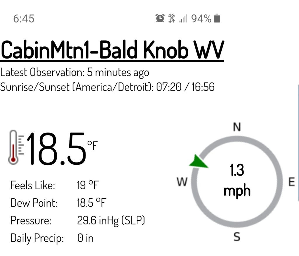
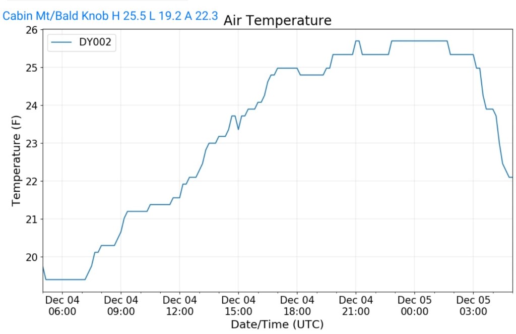
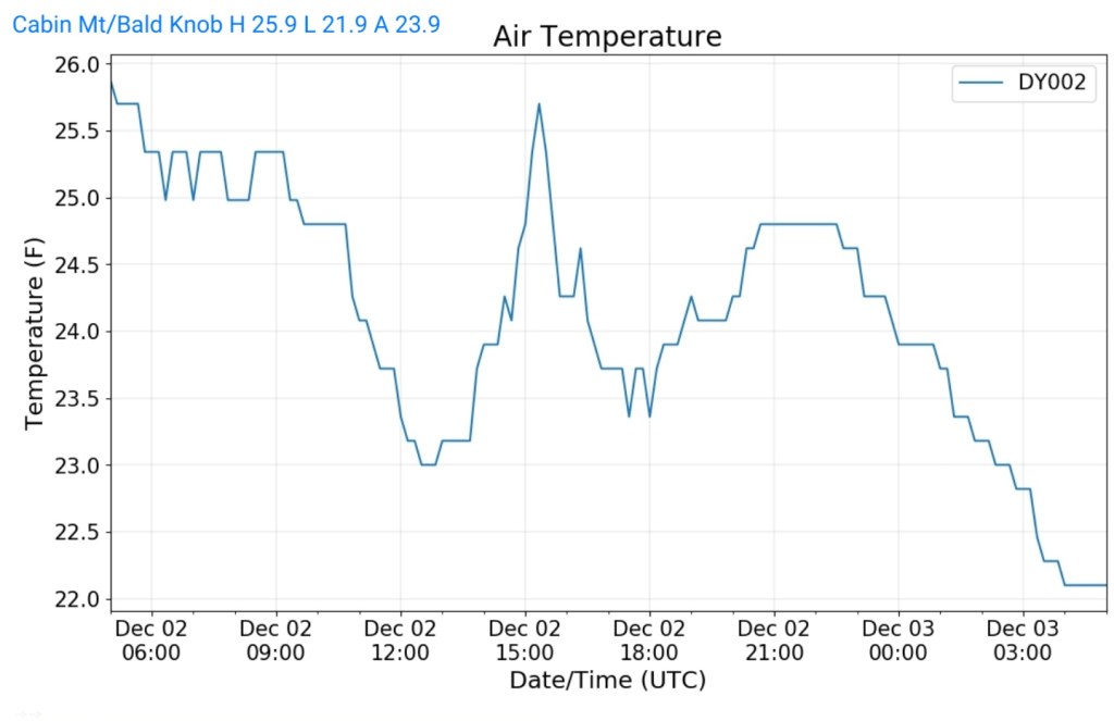
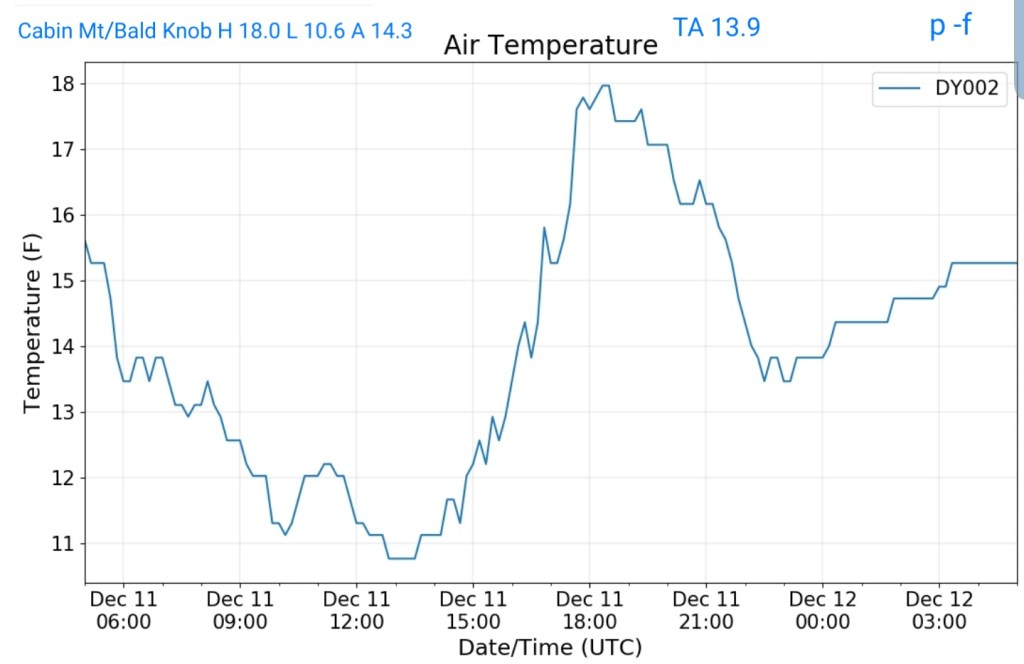
Cabin Mt at Bald Knob
MIN[10.6]—MAX[18.0]—AVERAGE MEAN[14.3]—TRUE AVERAGE[13.9]—PRECIP[F]
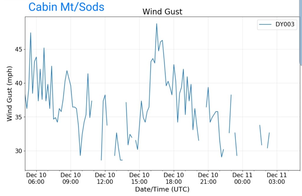
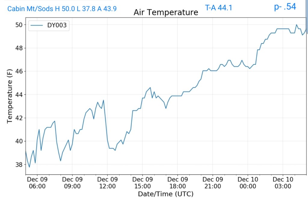
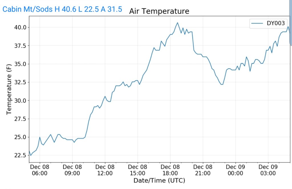
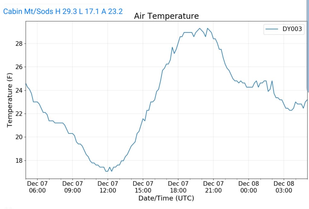
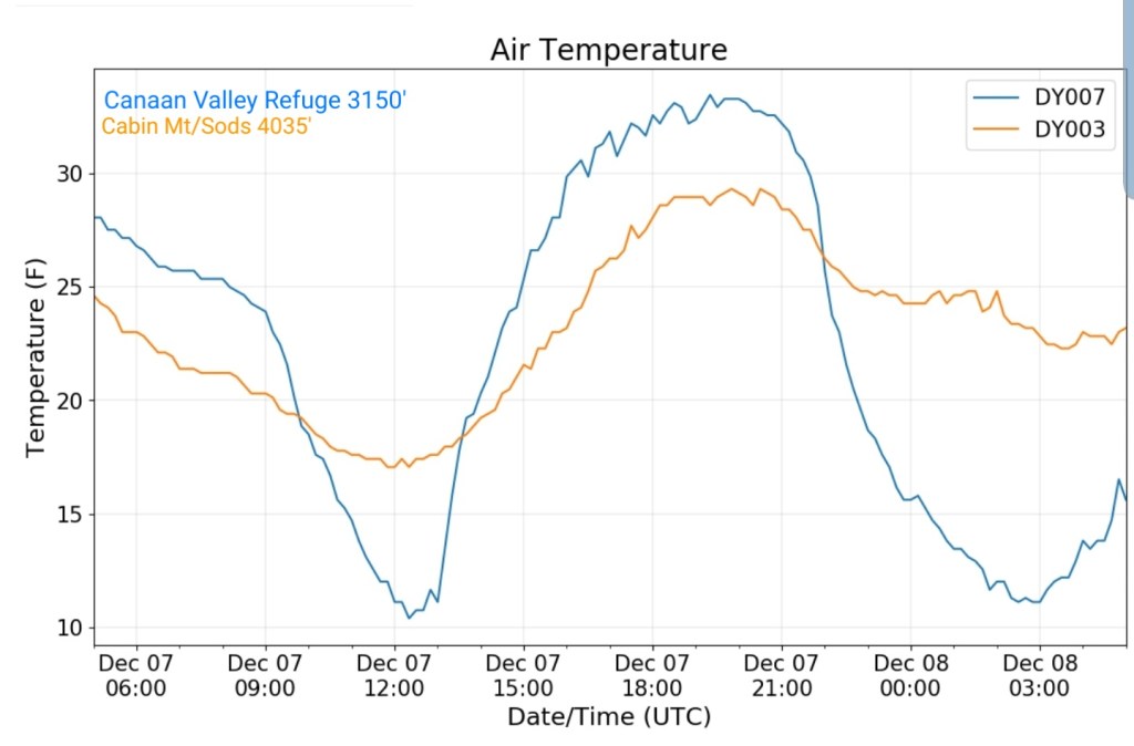
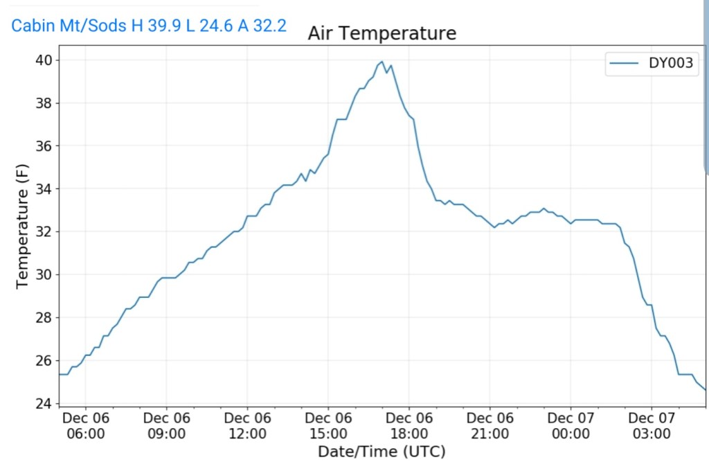
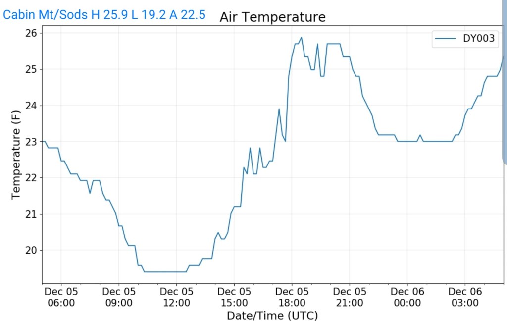
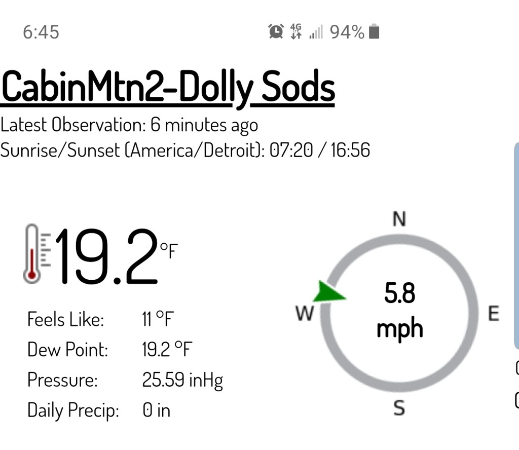
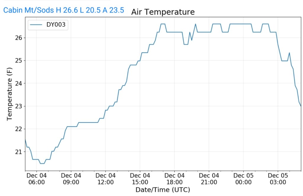
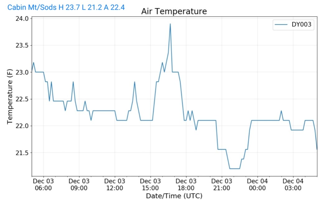
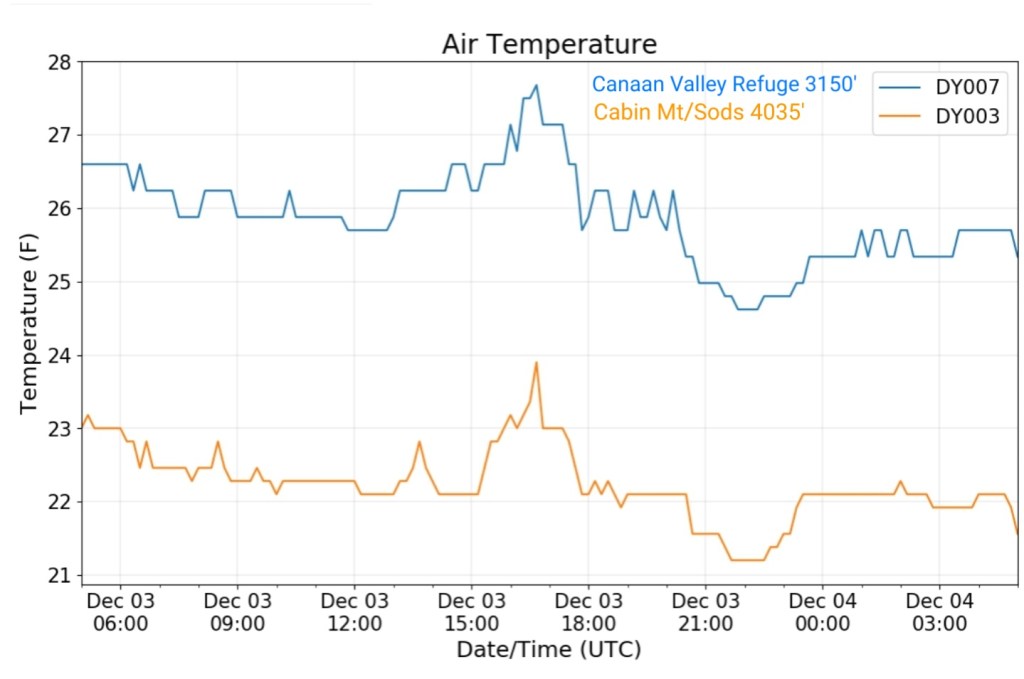
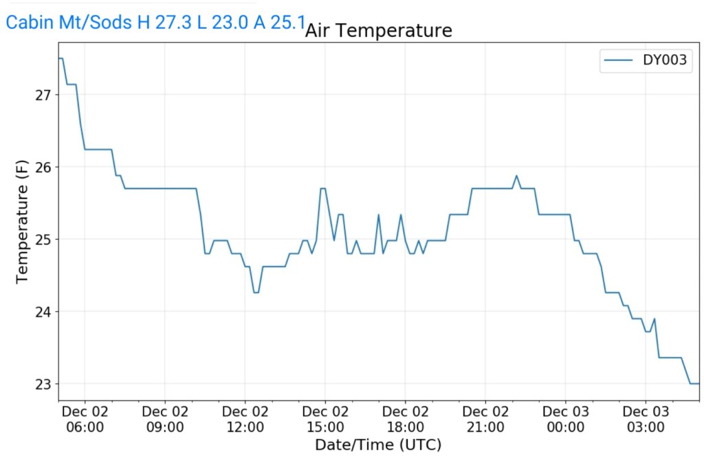
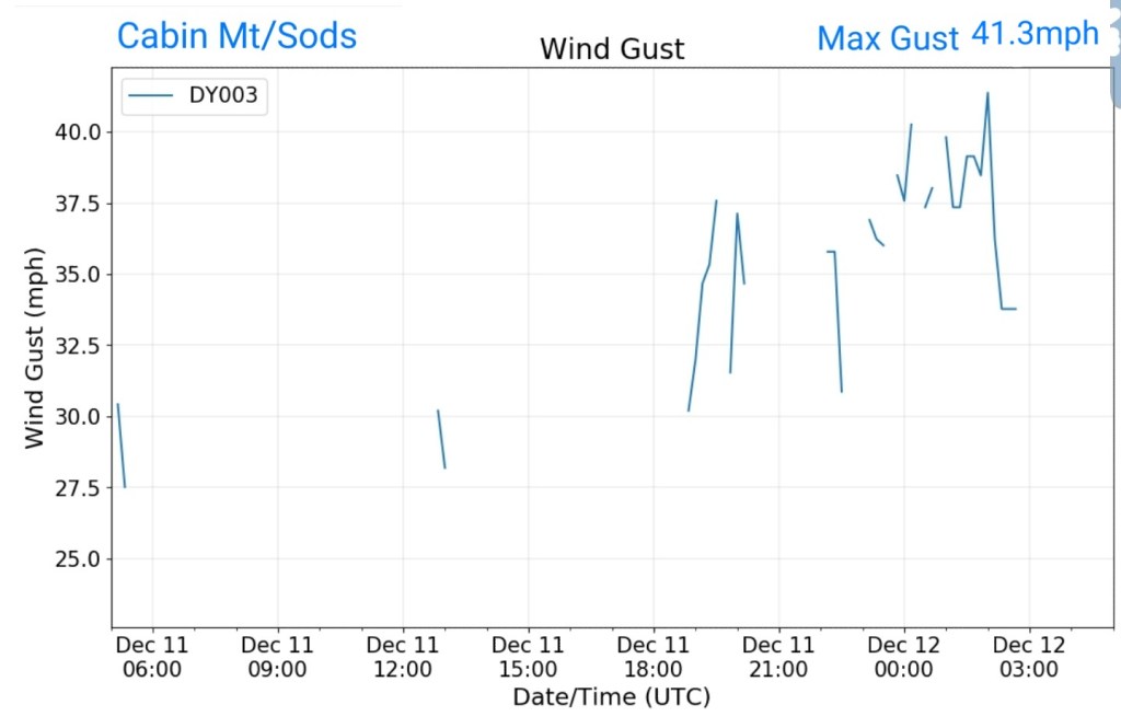
Cabin Mt-Western Sods
MIN[11.8]—MAX[17.8]—AVERAGE MEAN[14.8]—TRUE AVERAGE[14.8]—PRECIP[F]
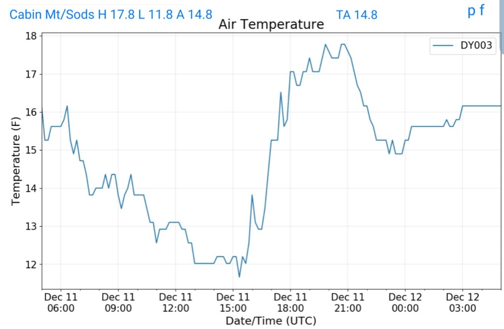
Wind gust max 41.3mph
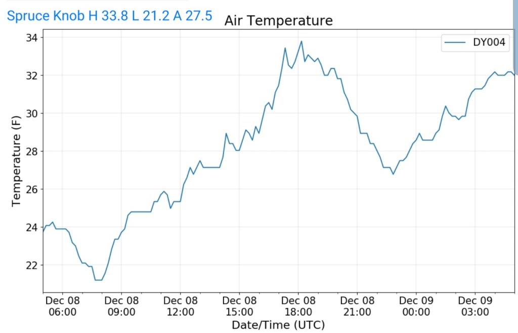
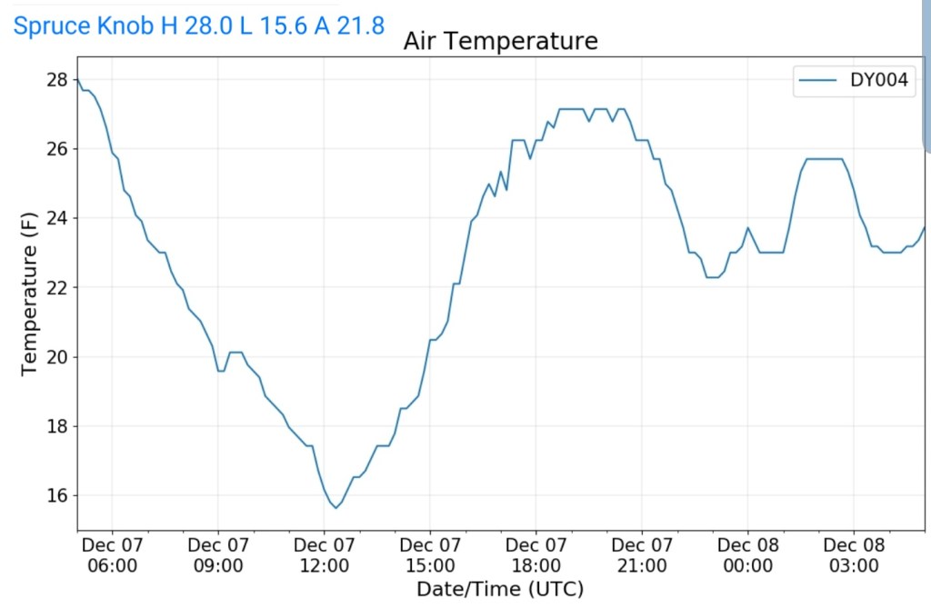
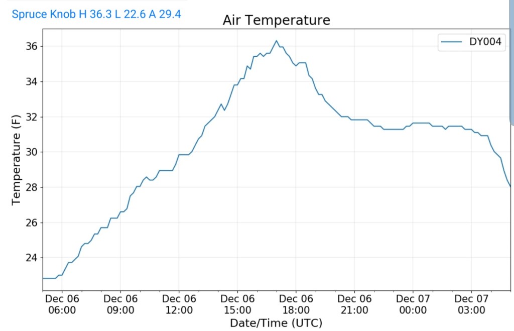
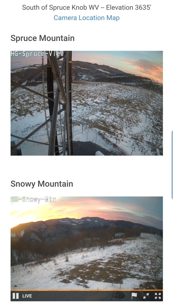
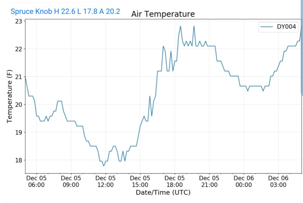
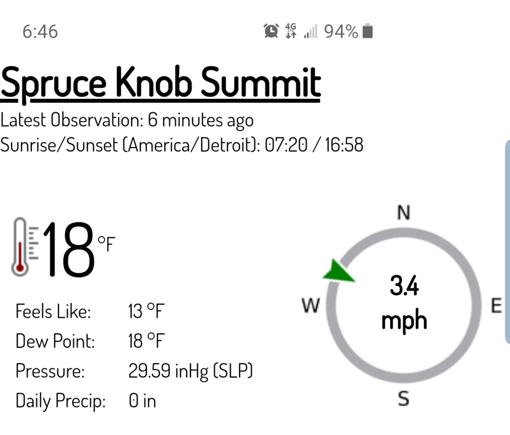
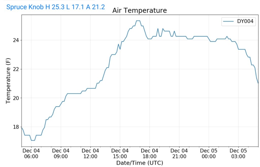
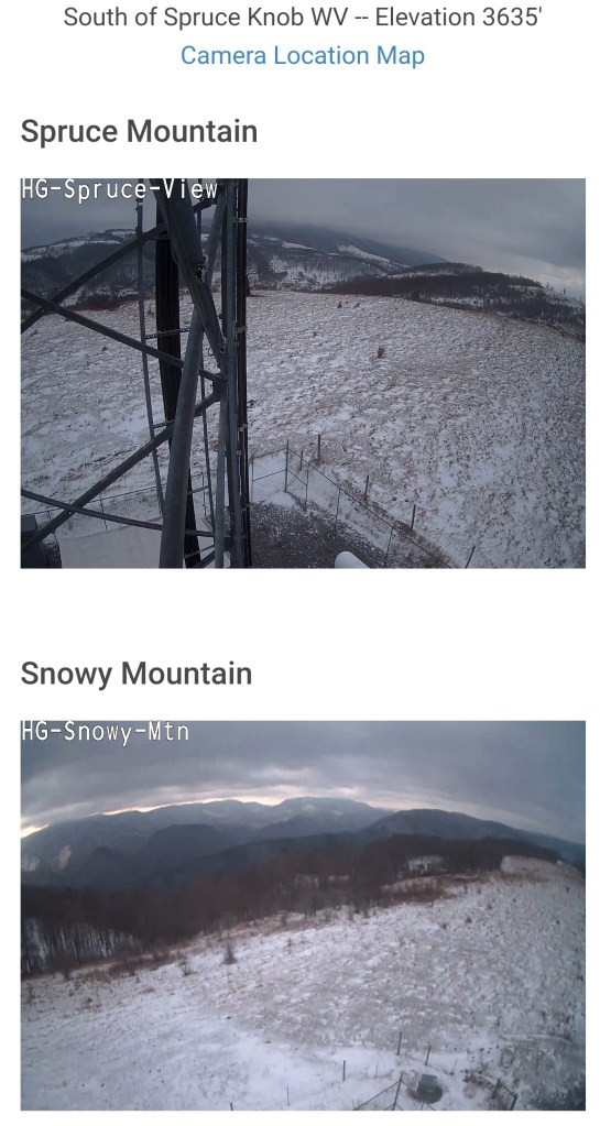
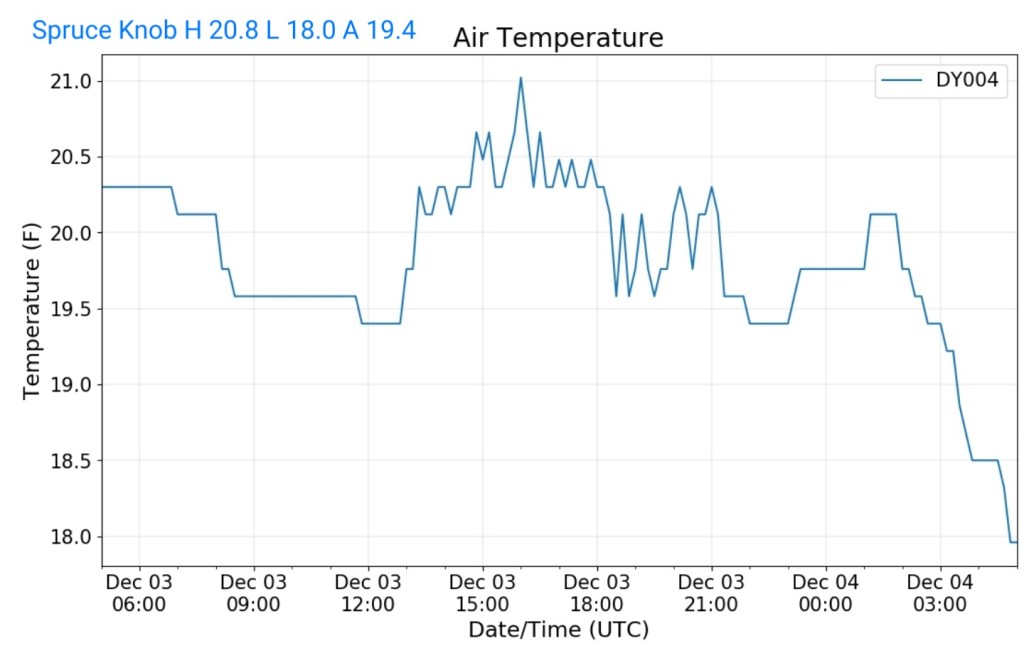
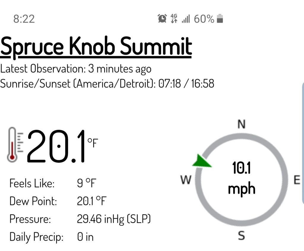
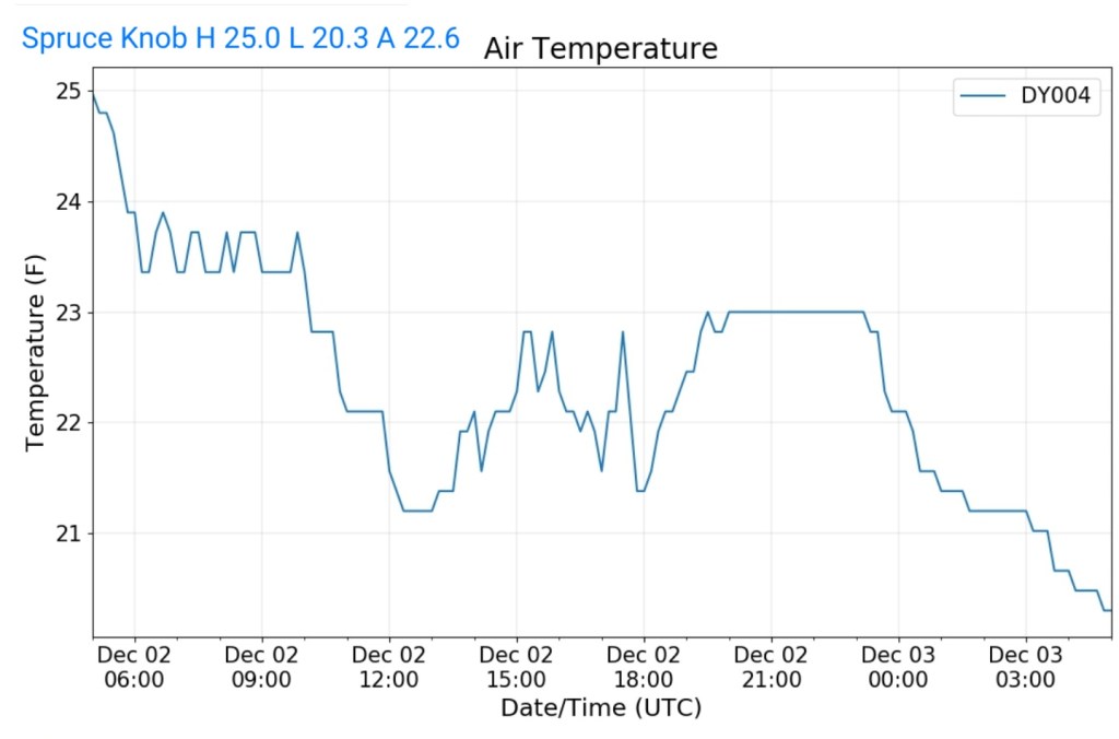
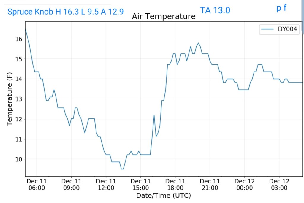
Spruce Knob
MIN[9.5]—MAX[16.3]—AVERAGE MEAN[12.9]—TRUE AVERAGE[13.0]—PRECIP[F]
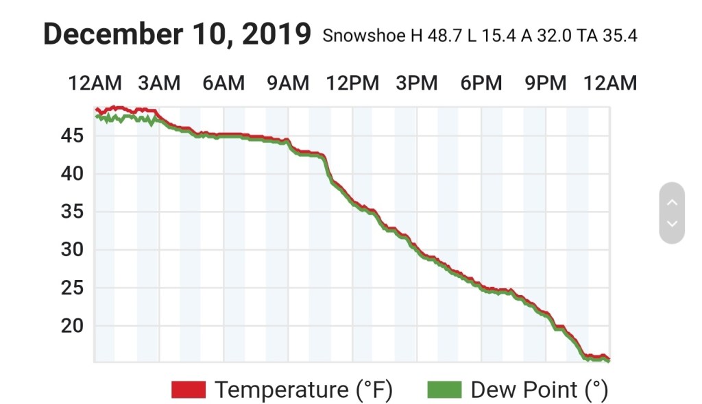
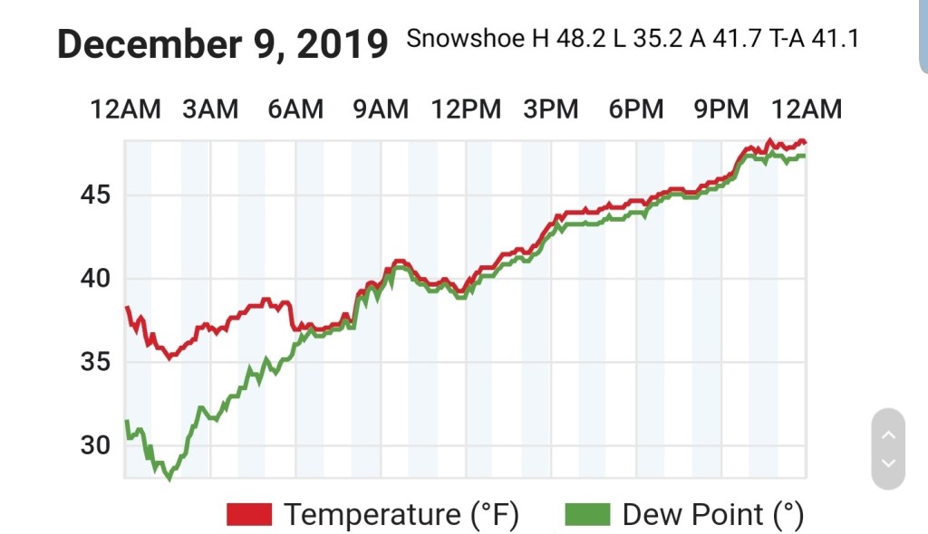
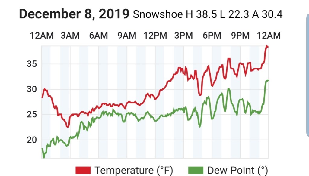
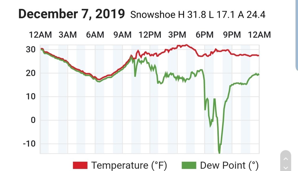
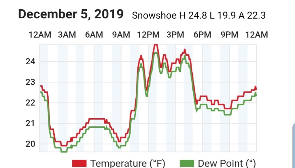
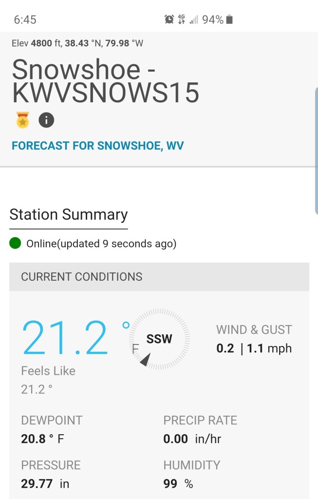
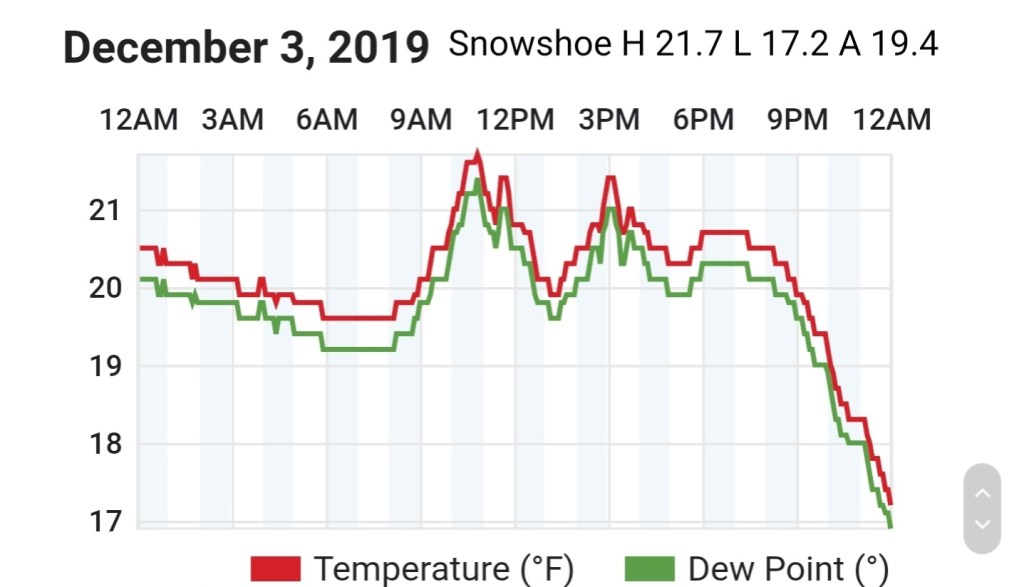
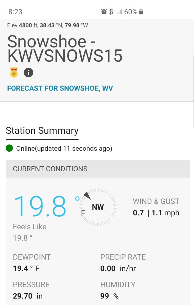
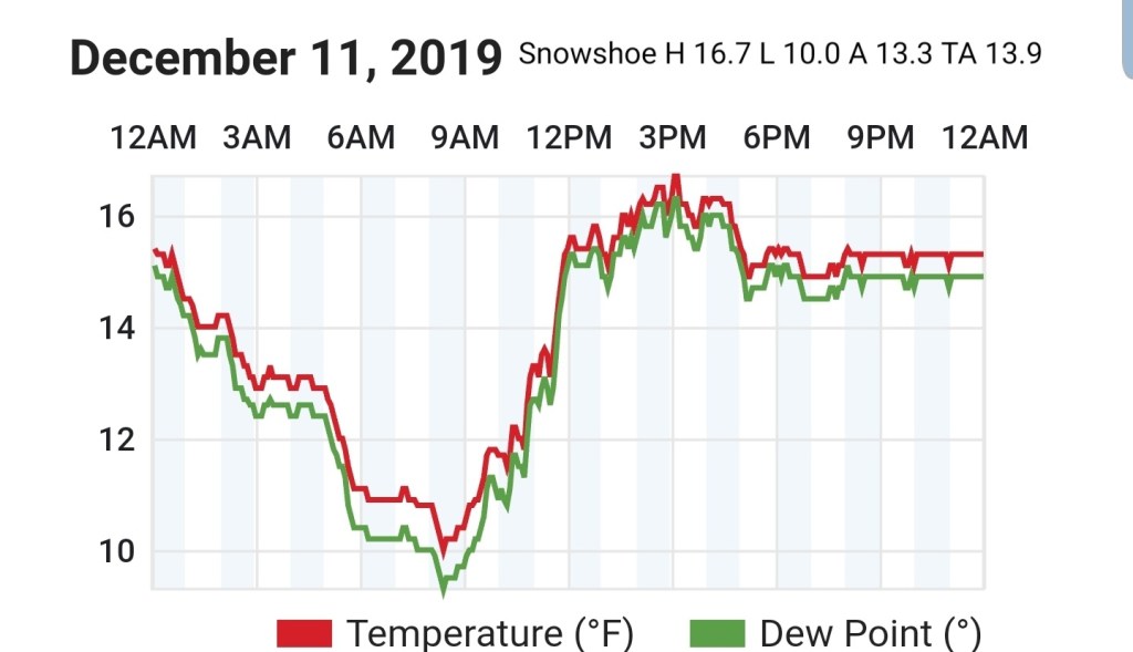
Snowshoe
MIN[10.0]—MAX[16.7]—AVERAGE MEAN[13.3]—TRUE AVERAGE[13.9]
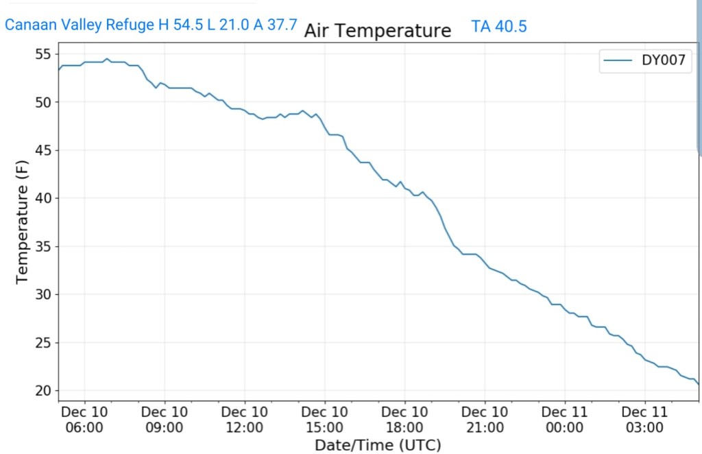
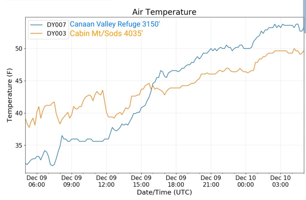
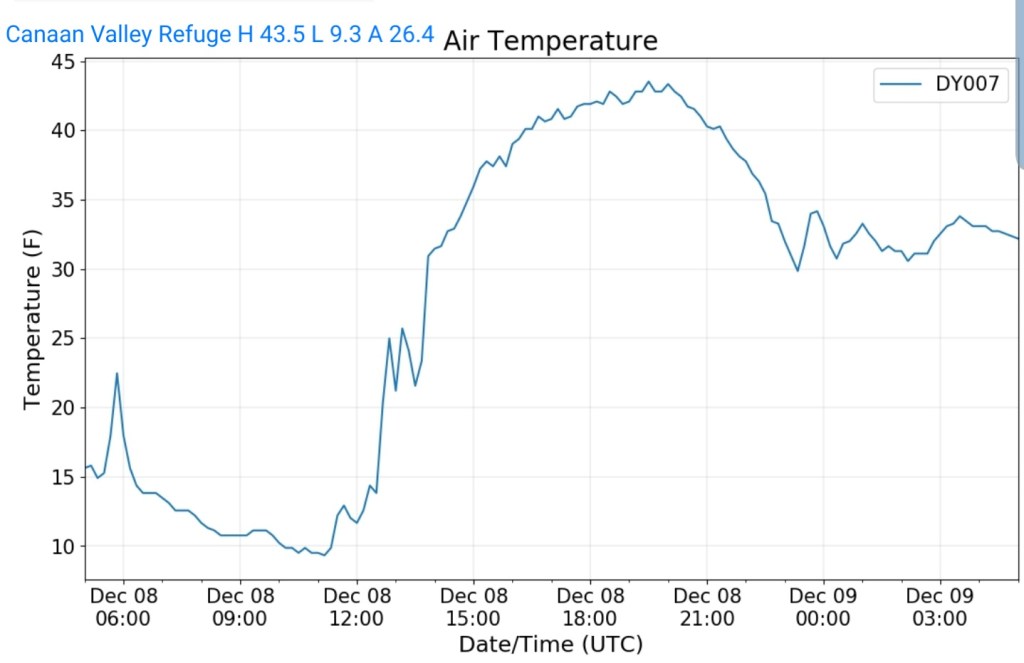
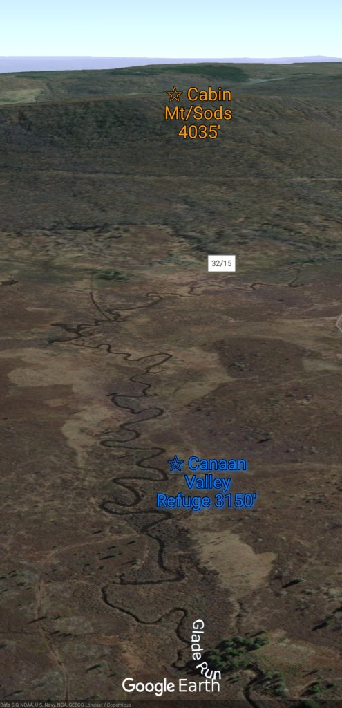
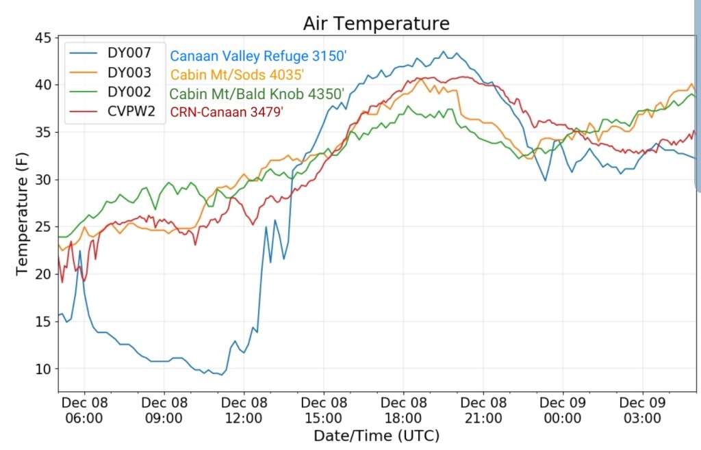
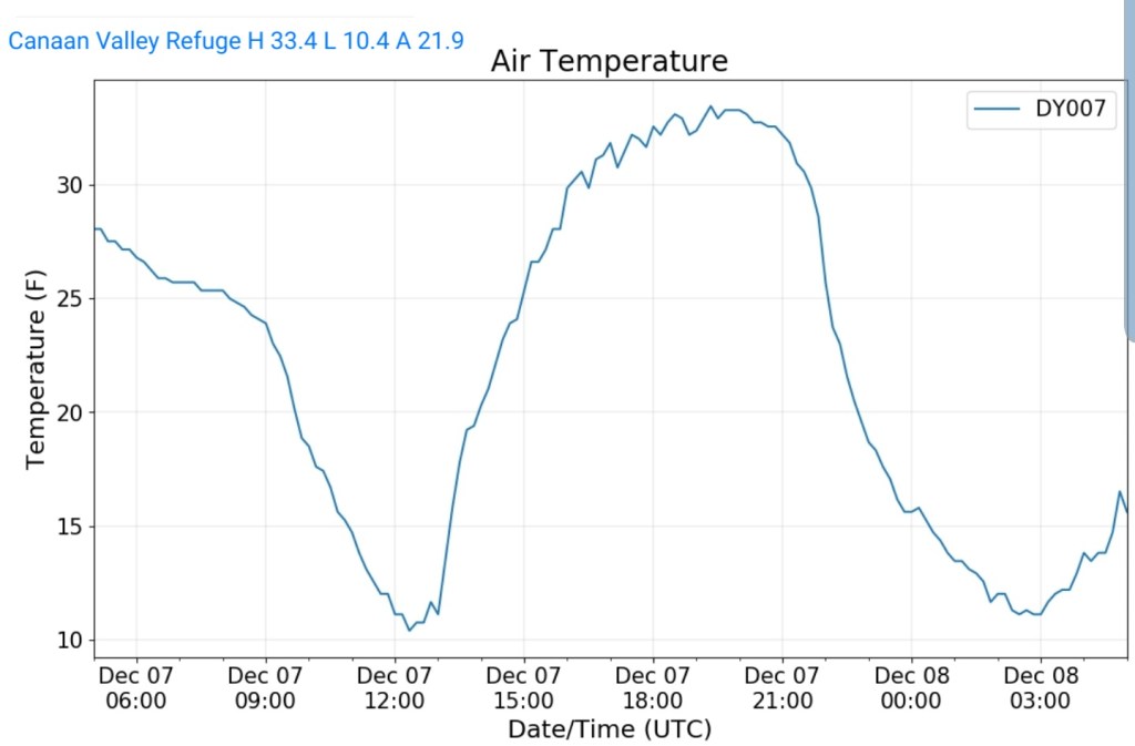
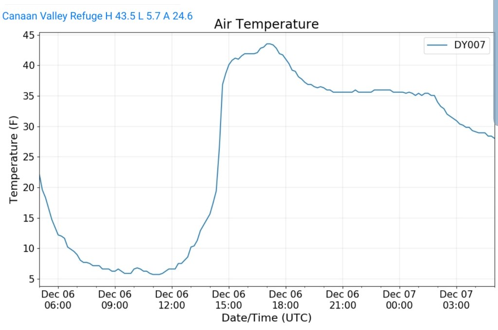
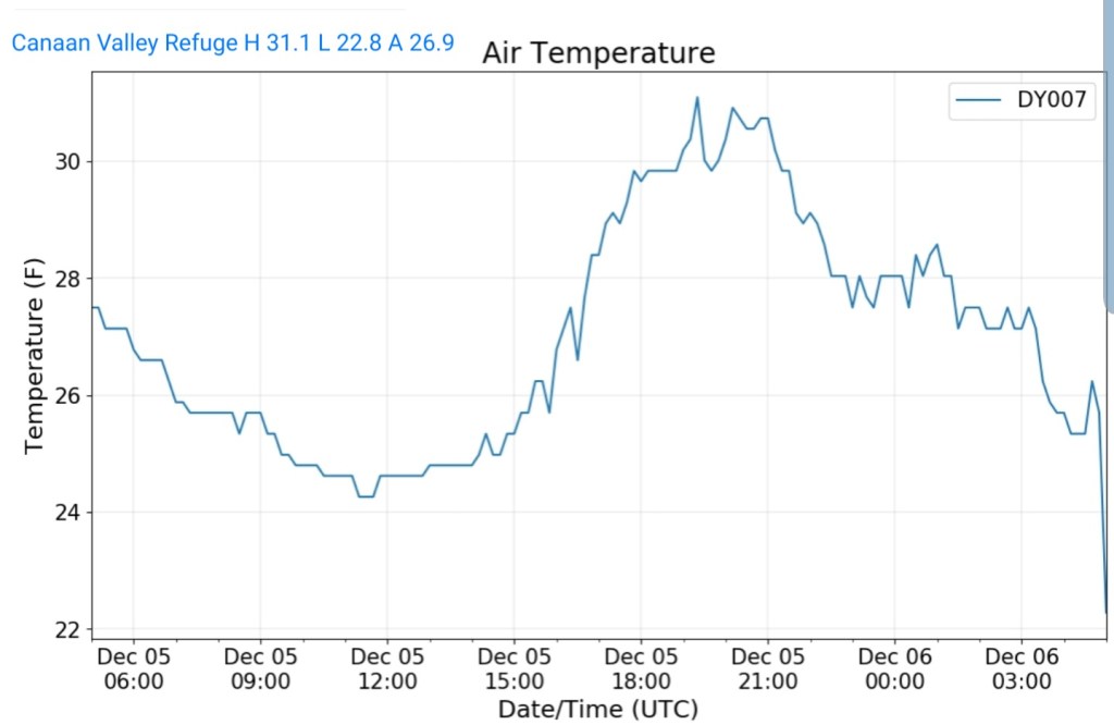
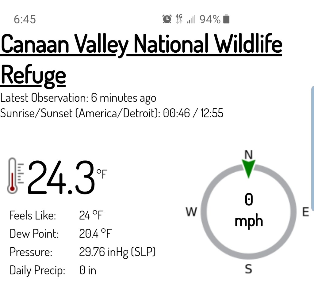
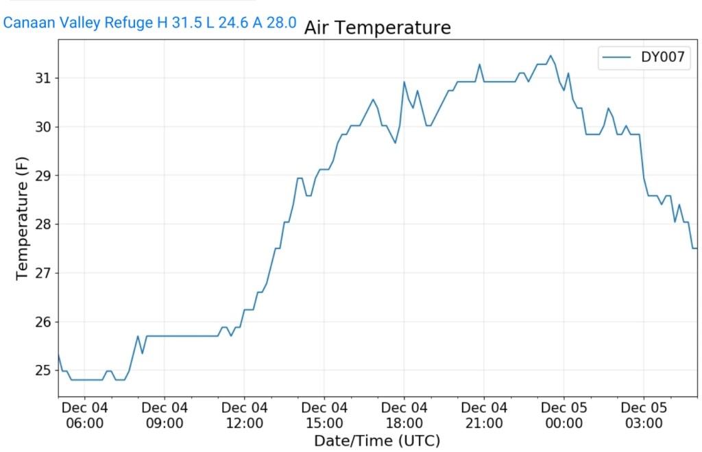
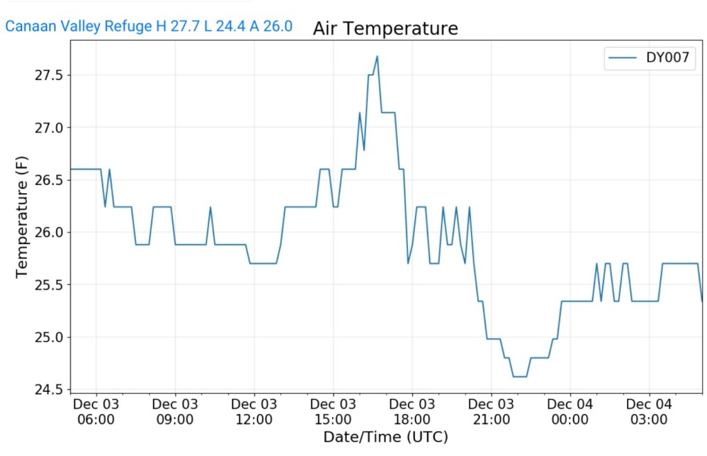
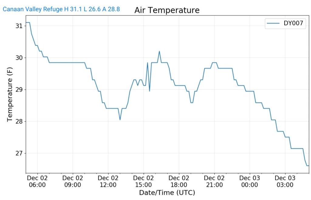
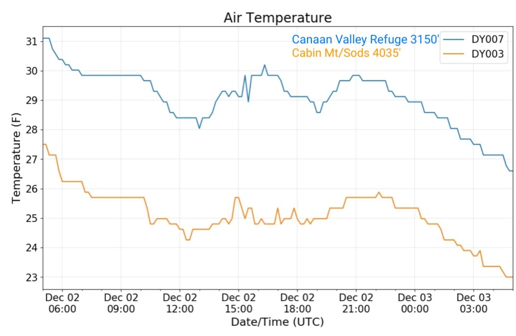
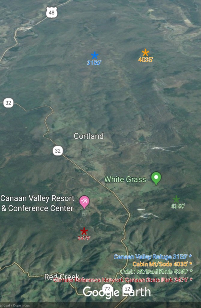
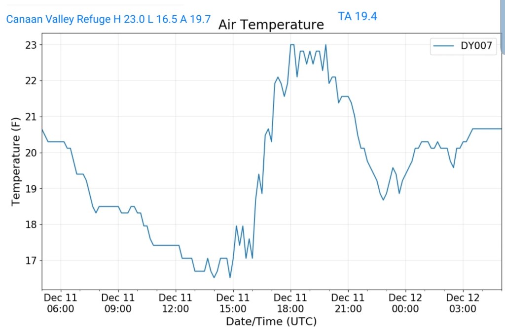
Canaan Valley Refuge
MIN[16.5]—MAX[23.0]—AVERAGE MEAN[19.7]—TRUE AVERAGE[19.4]
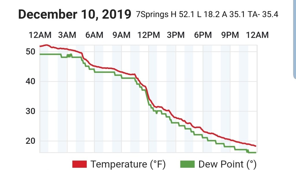
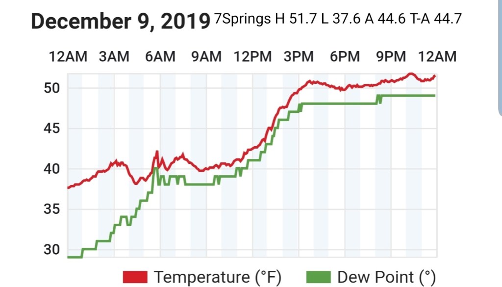
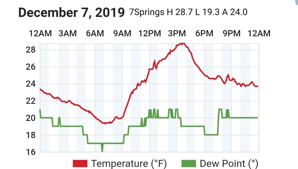
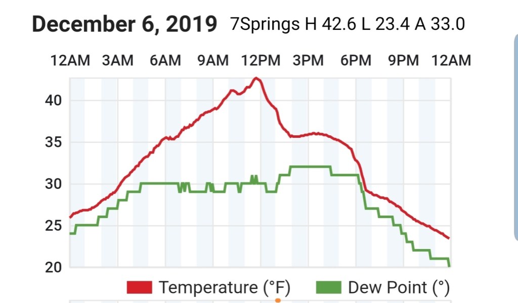
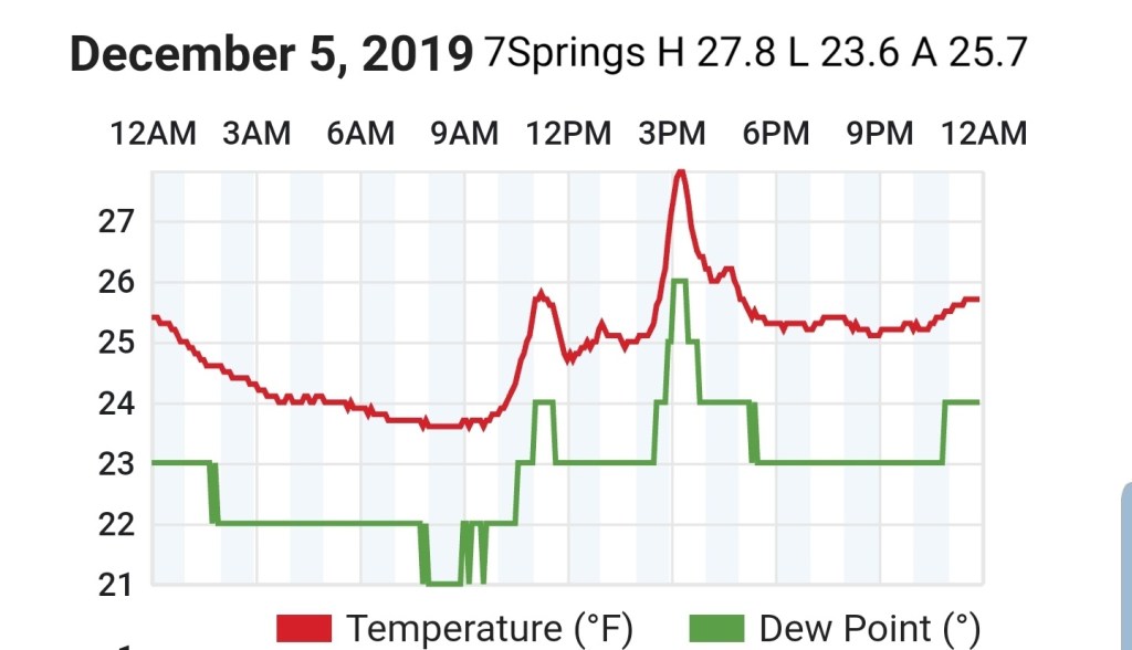
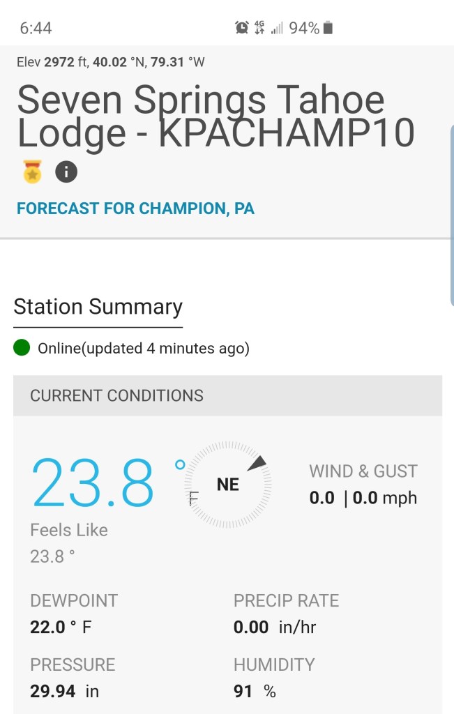
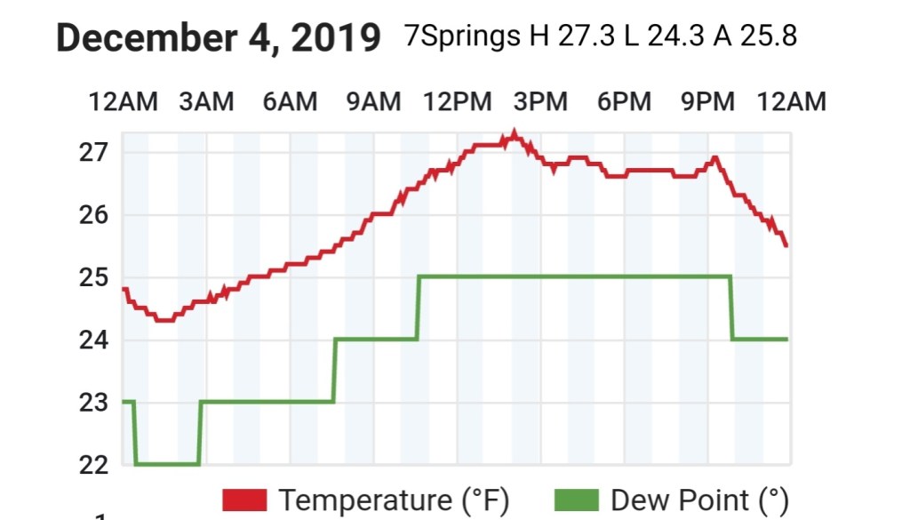
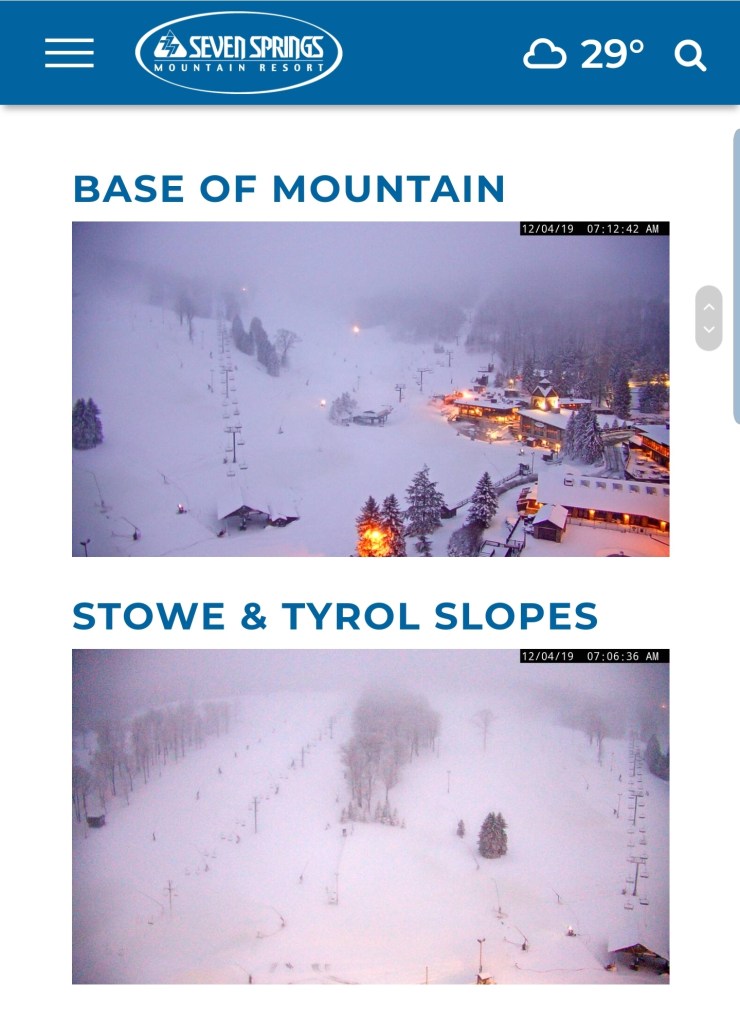
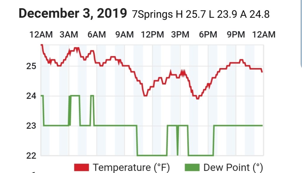
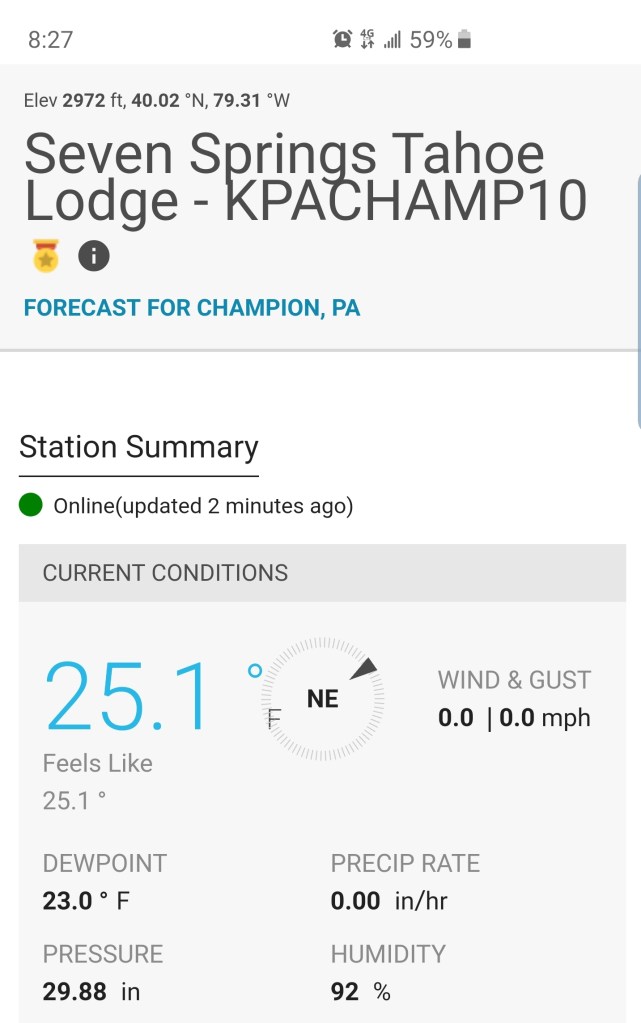
7Springs
MIN[13.2]—MAX[20.4]—AVERAGE MEAN[16.8]—TRUE AVERAGE[17.2]

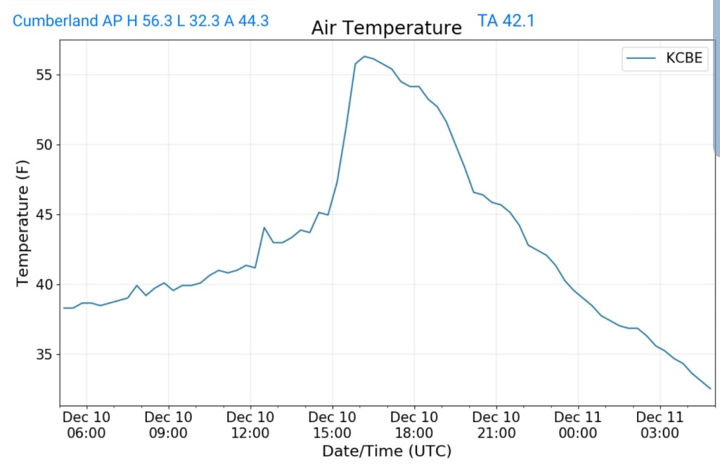
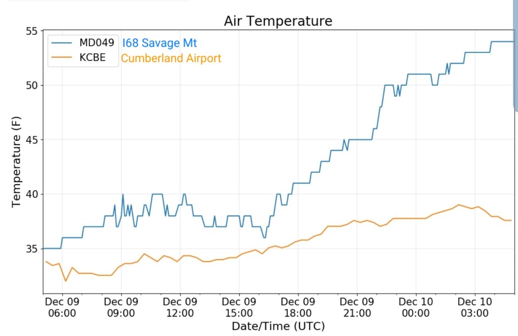
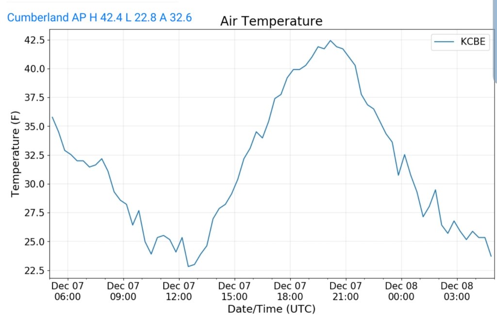
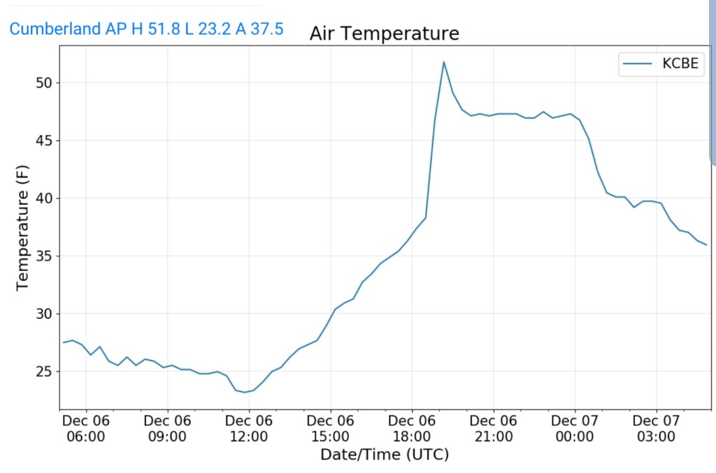
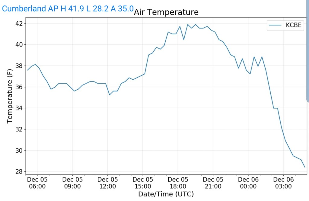
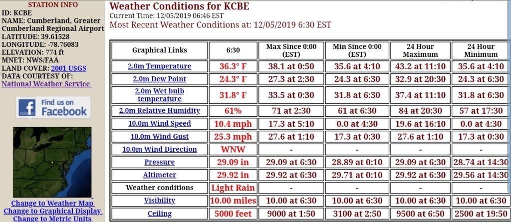
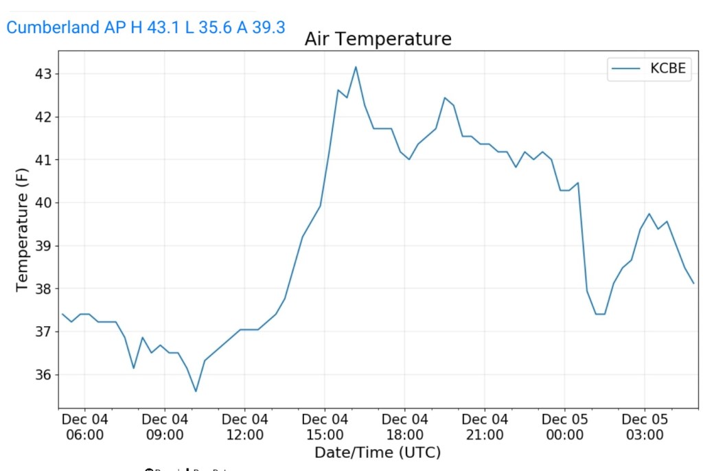
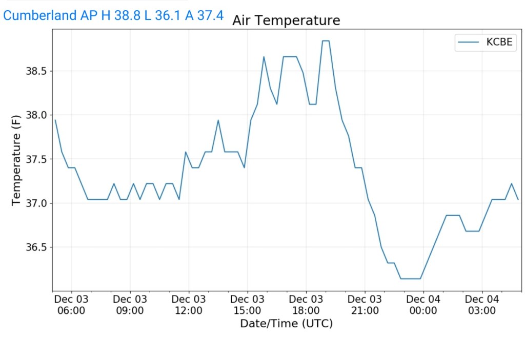
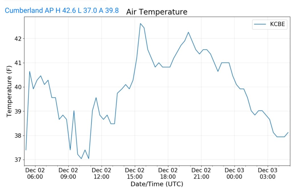
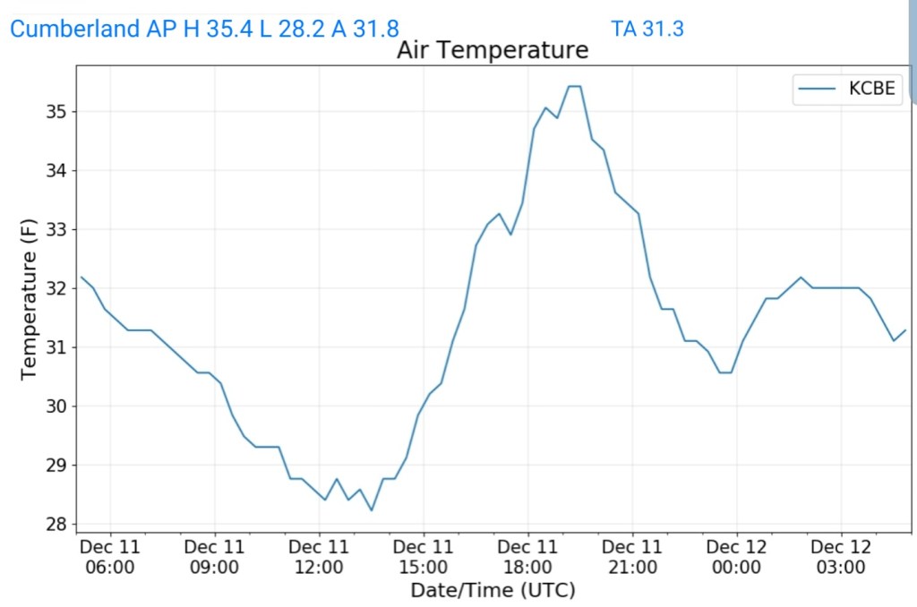
Cumberland Airport
MIN[28.2]—MAX[35.4]—AVERAGE MEAN[31.8]—TRUE AVERAGE[31.3]
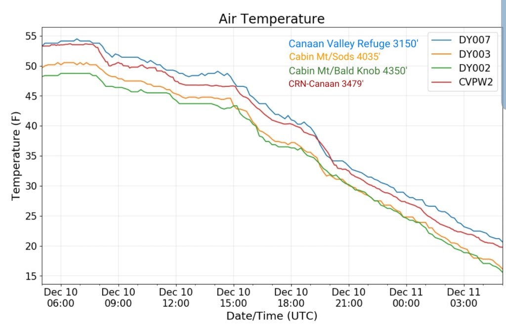
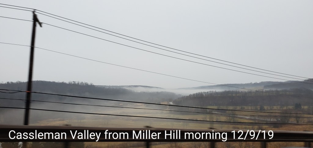
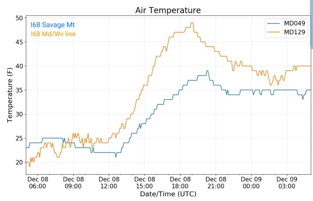
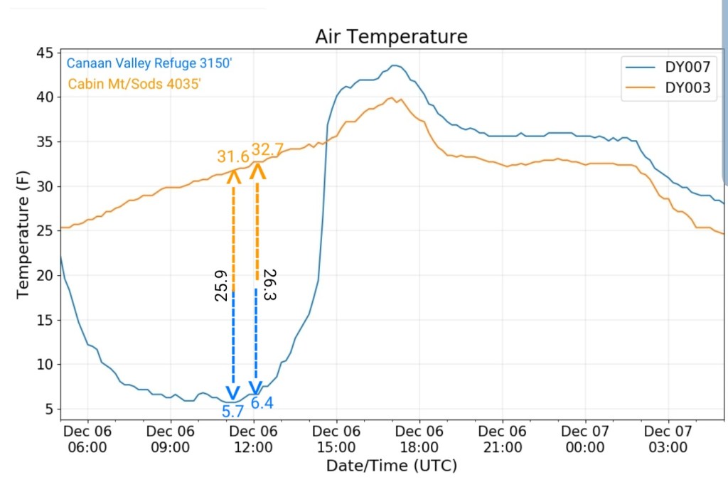
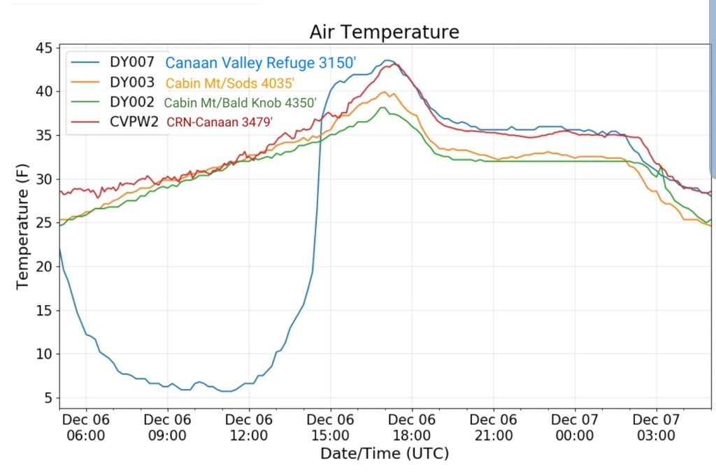
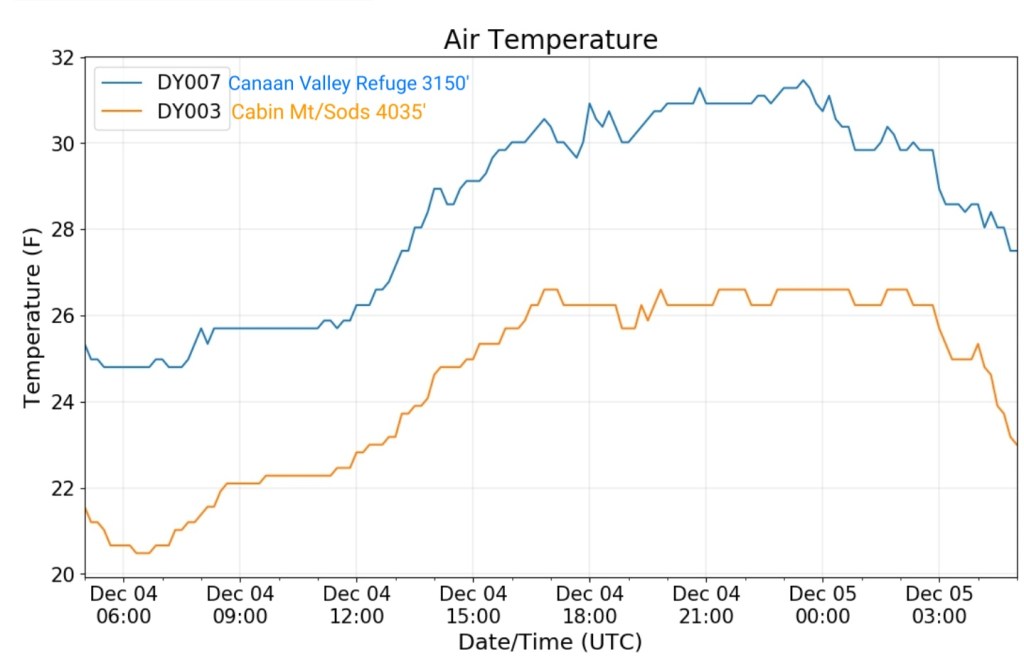
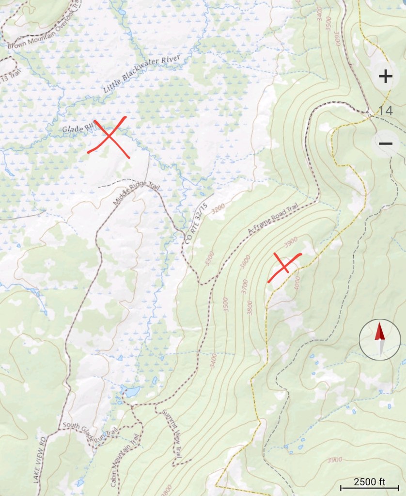
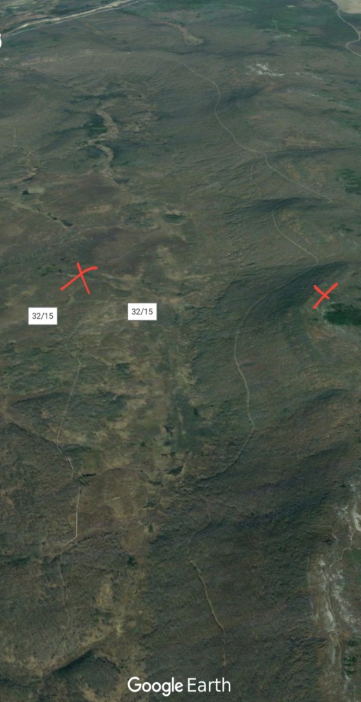
The Valley vs Cabin Mt


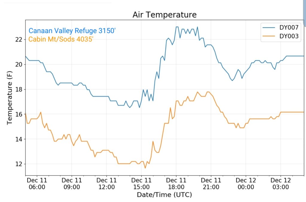
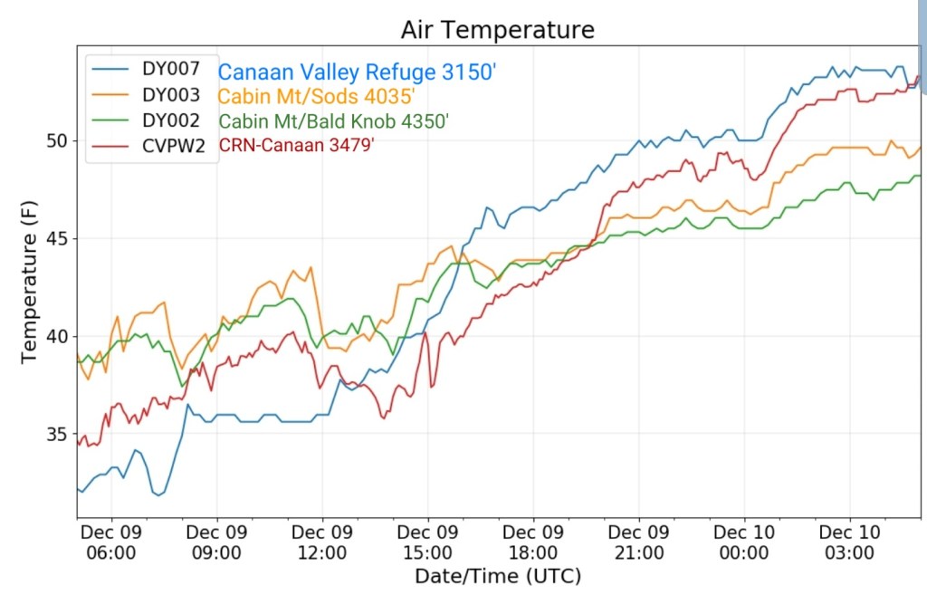
Canaan area temps
Comparison view

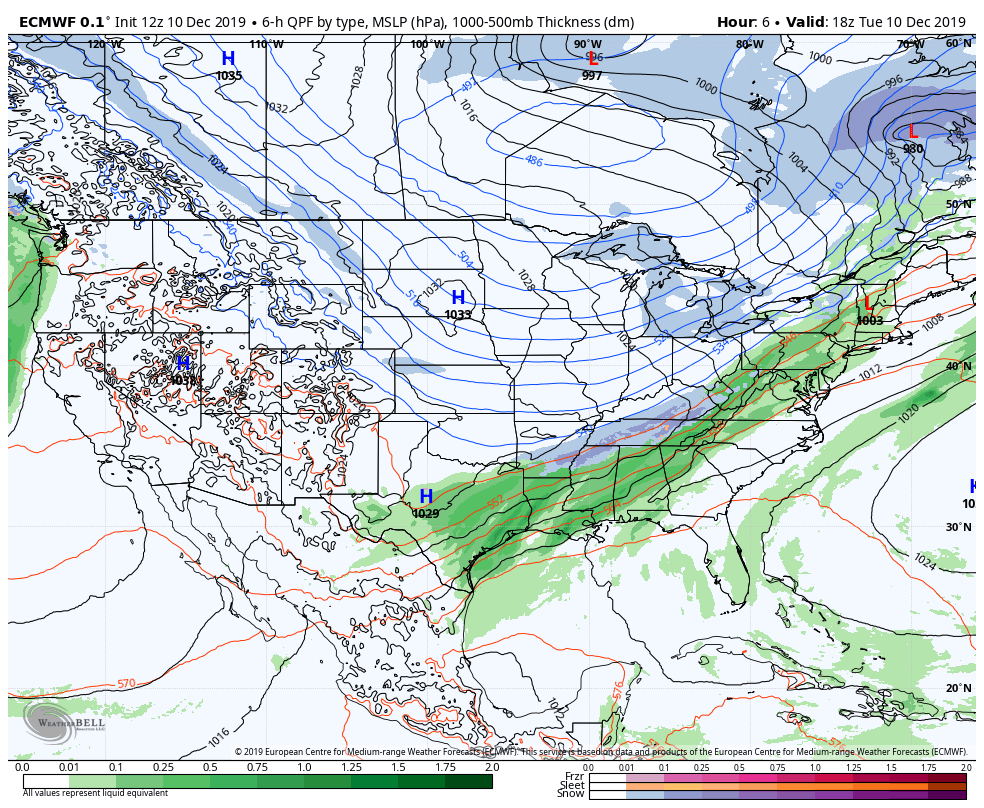
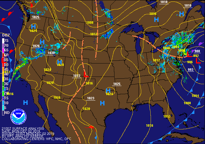
RTMA
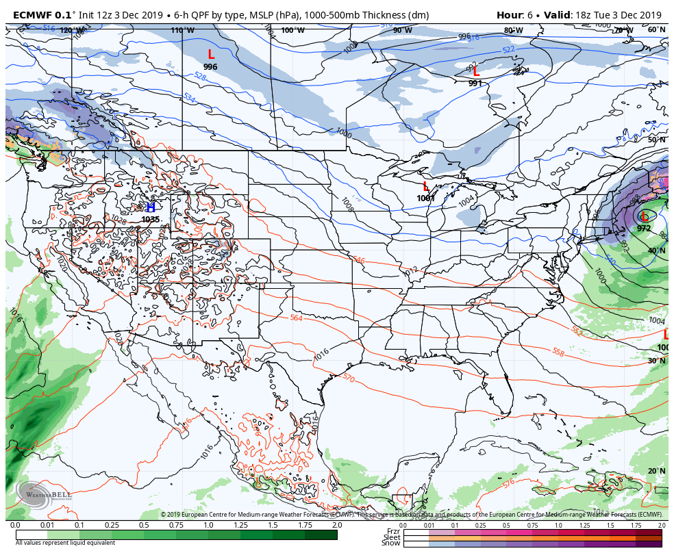
Radar
Satellite
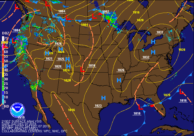
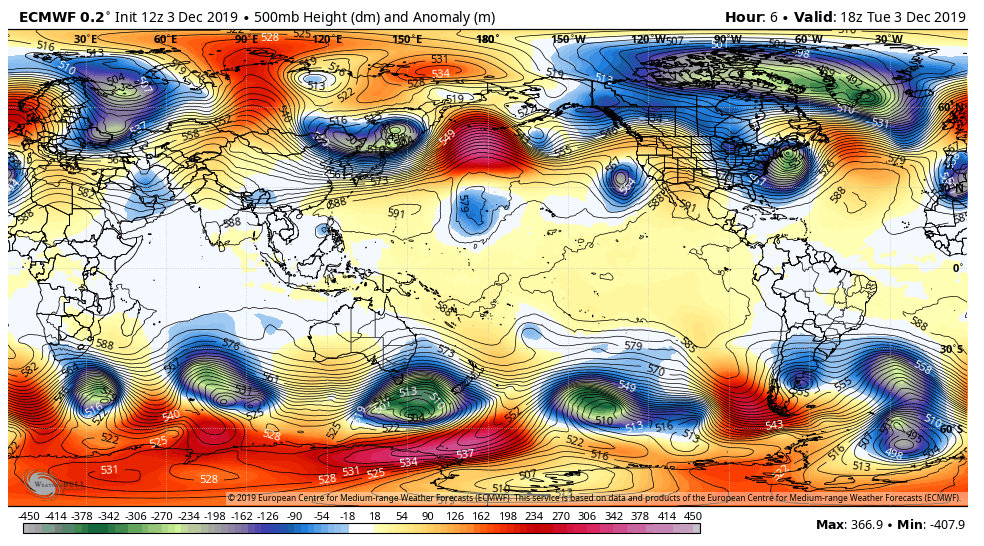
Flow
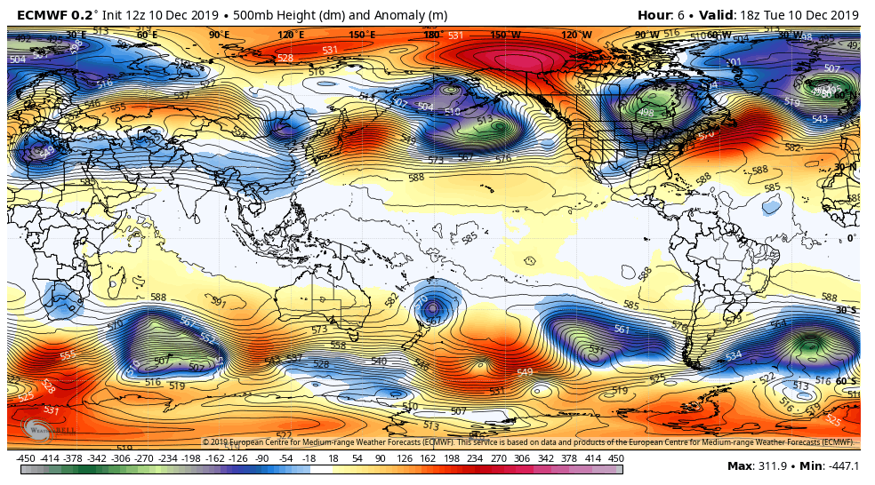
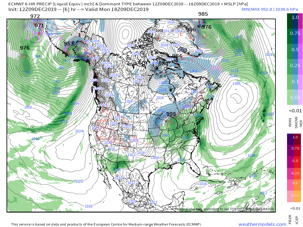
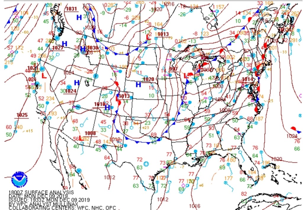
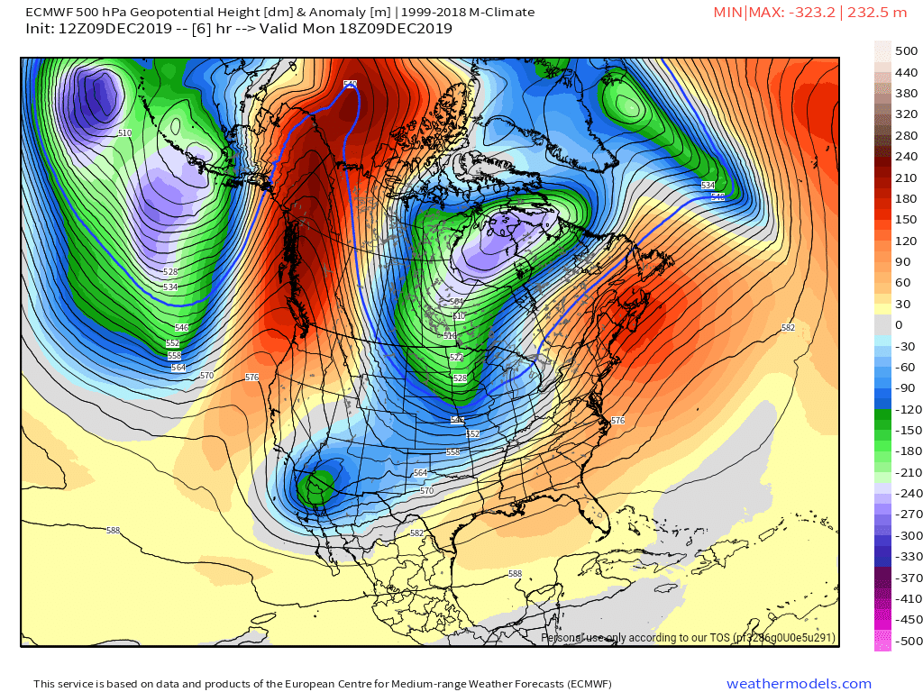
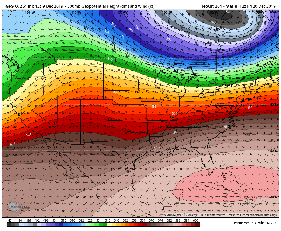
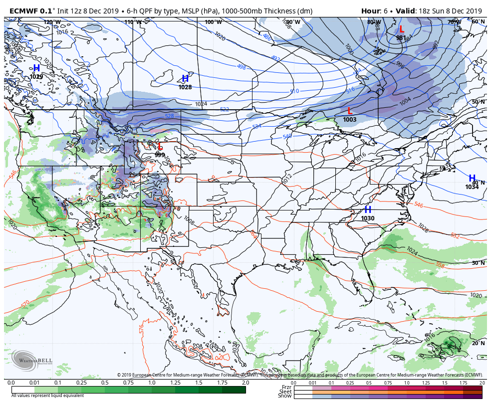
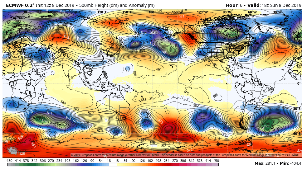
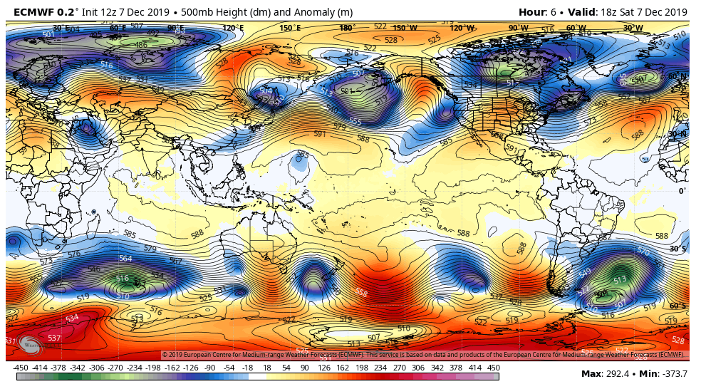
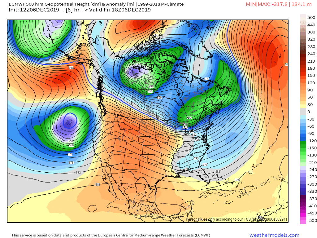
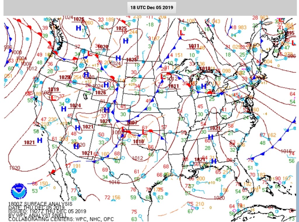
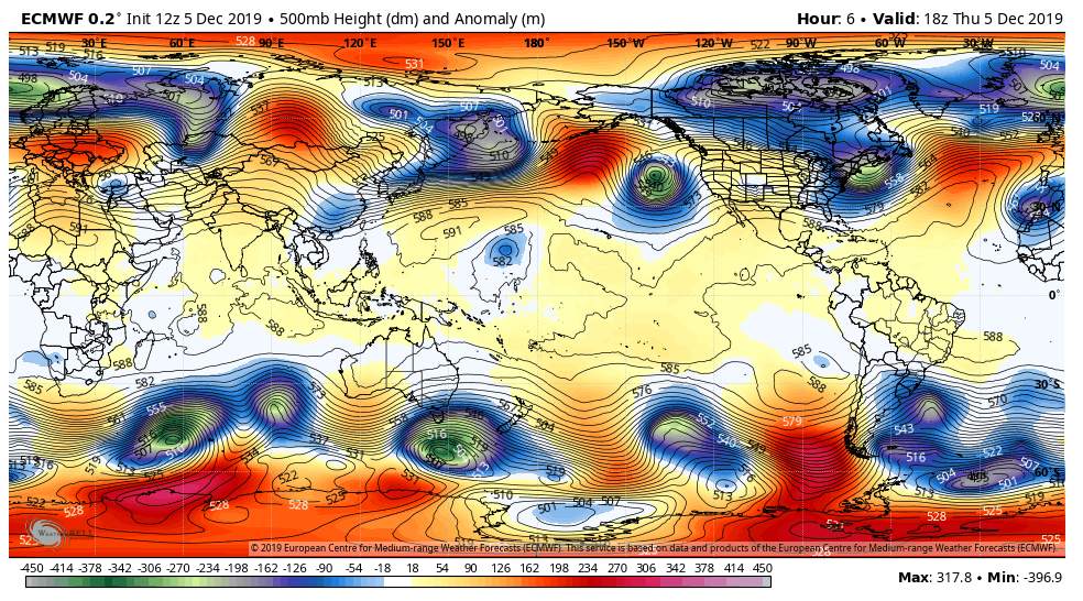
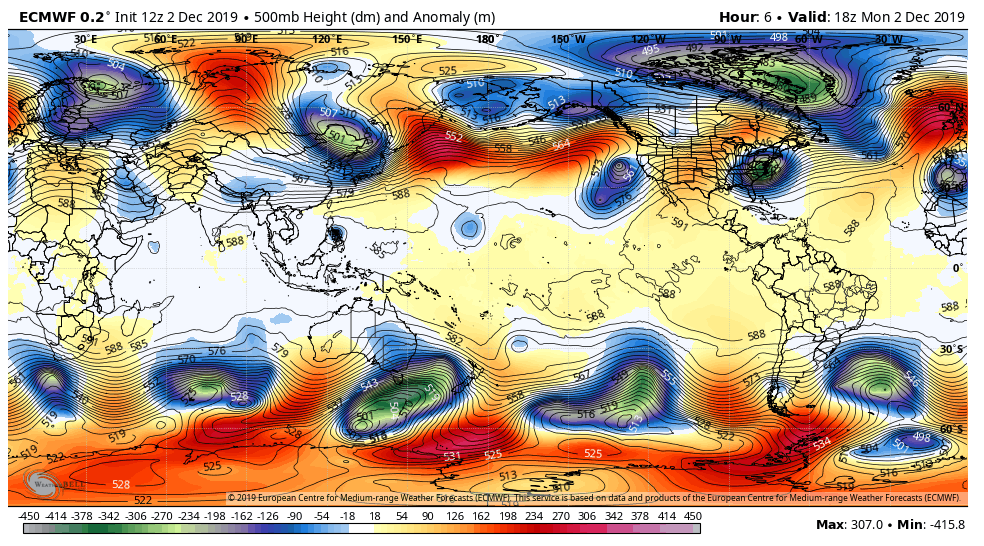
Surface features and 500mb height anomalies and flow


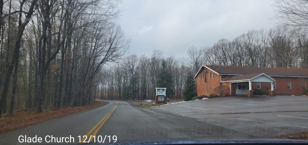
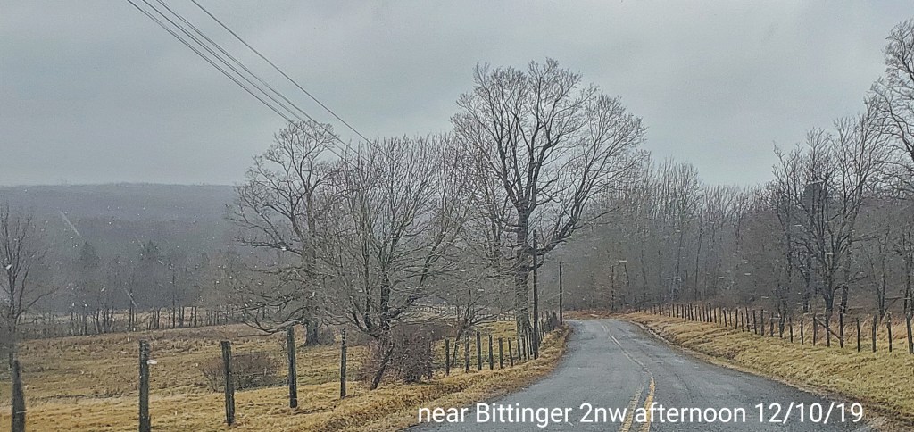
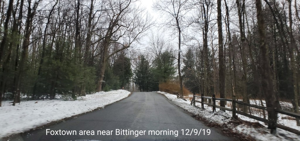
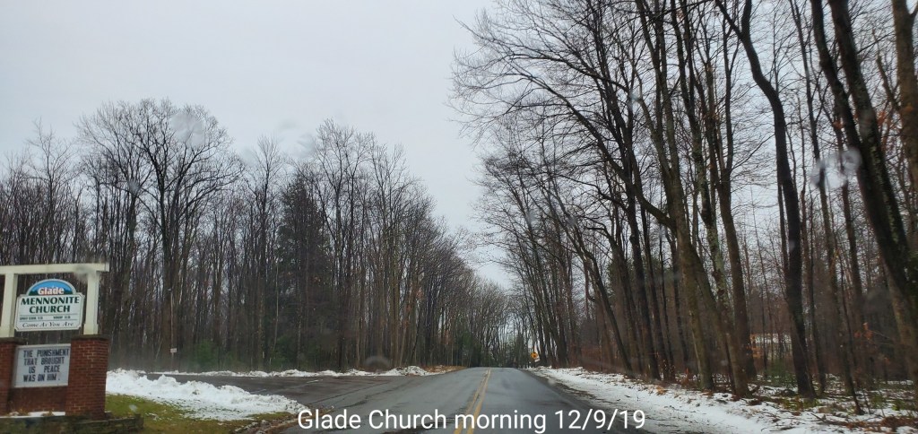
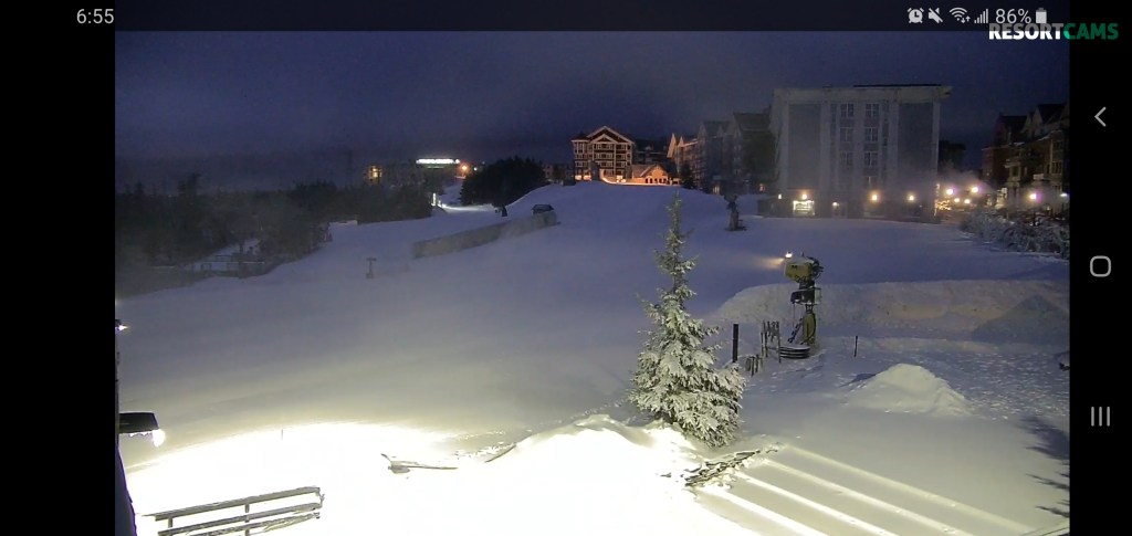
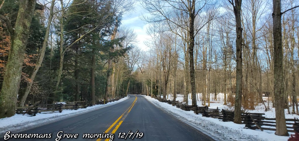
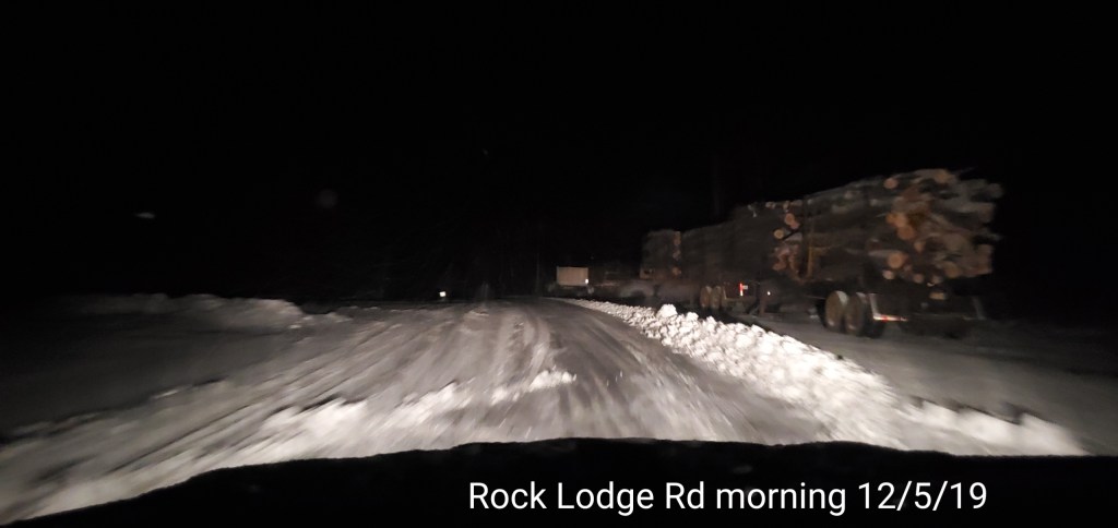
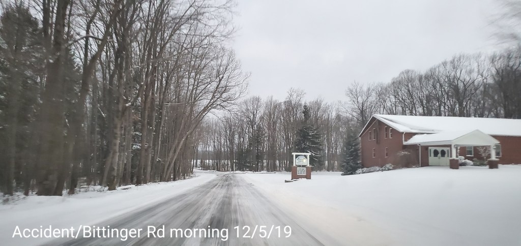
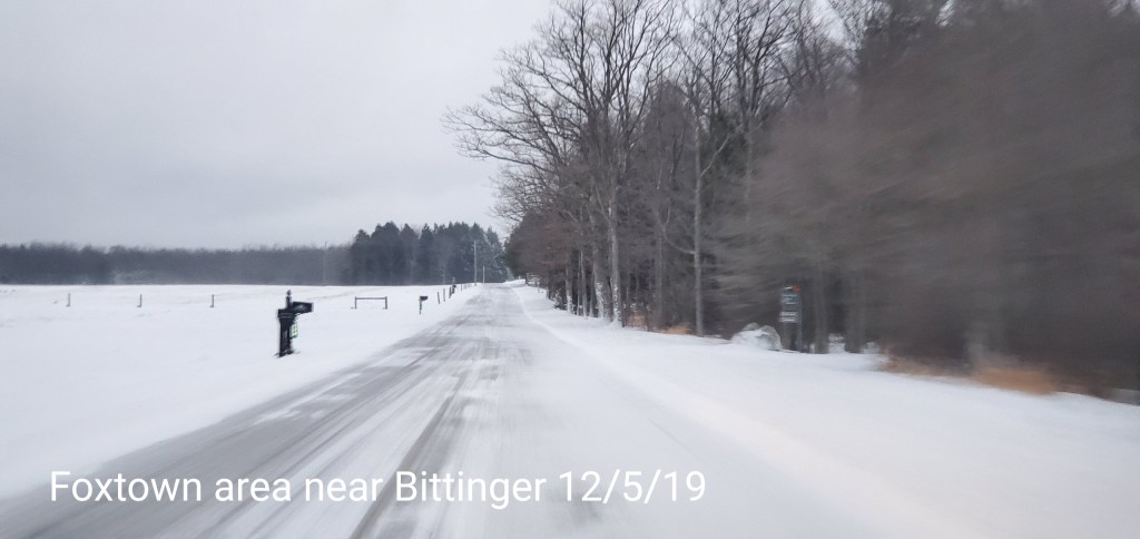
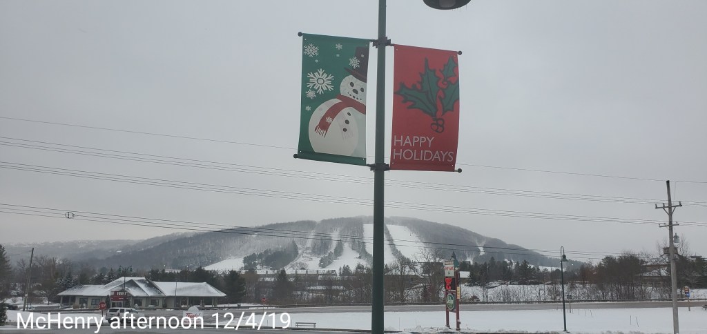
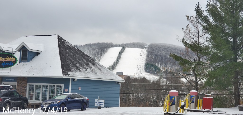
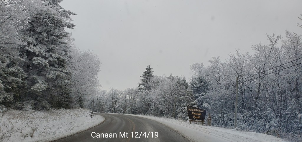
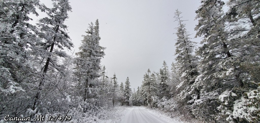
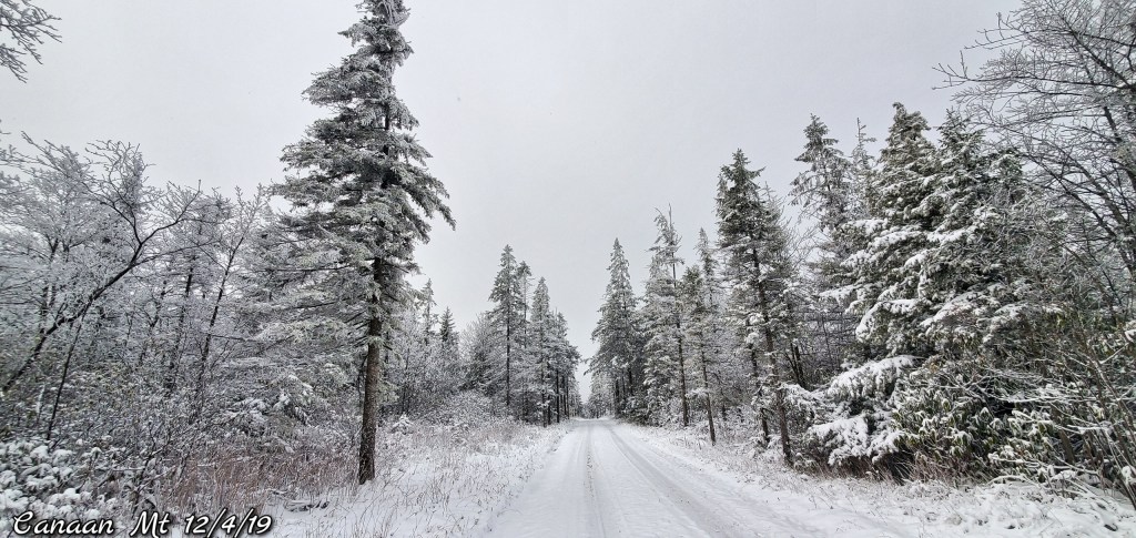
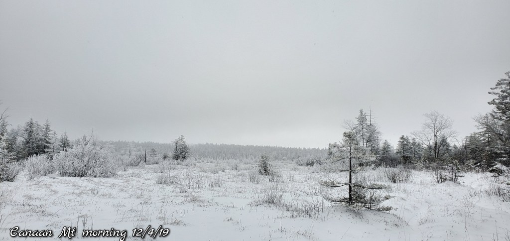
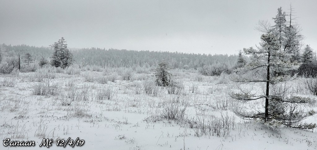
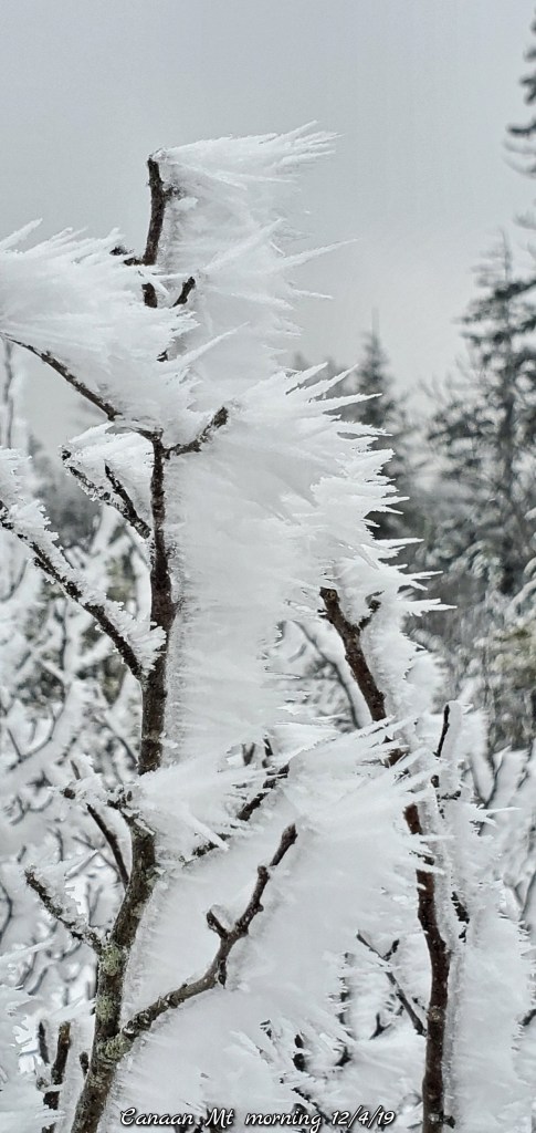
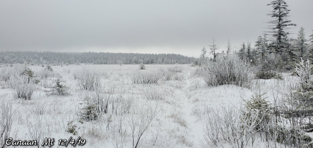
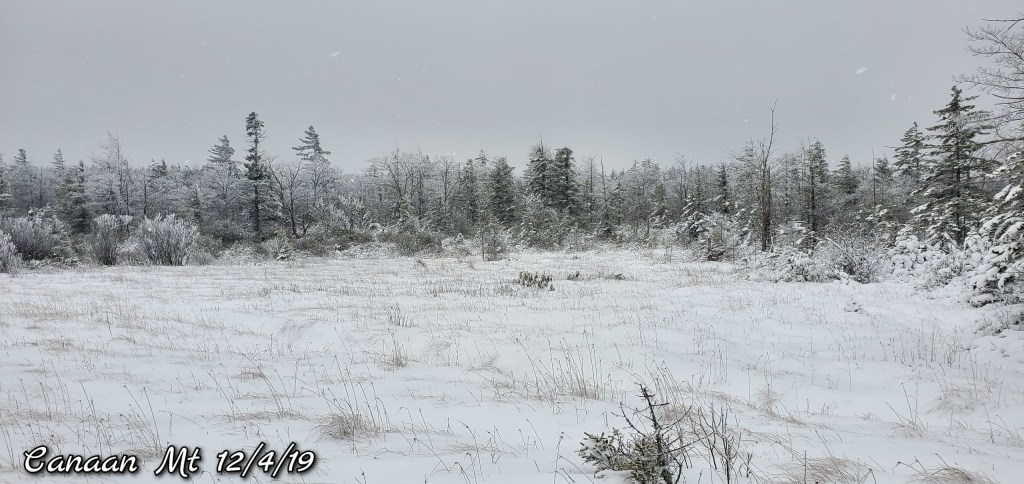
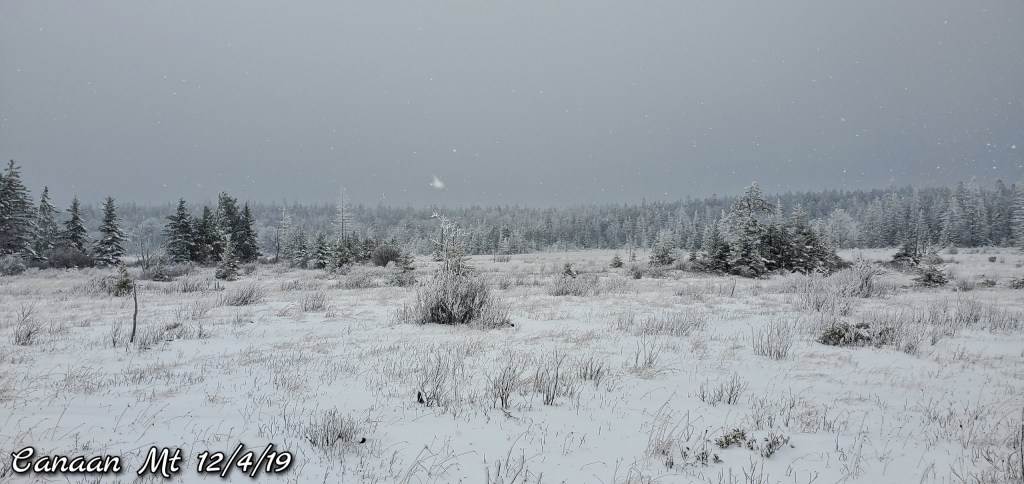
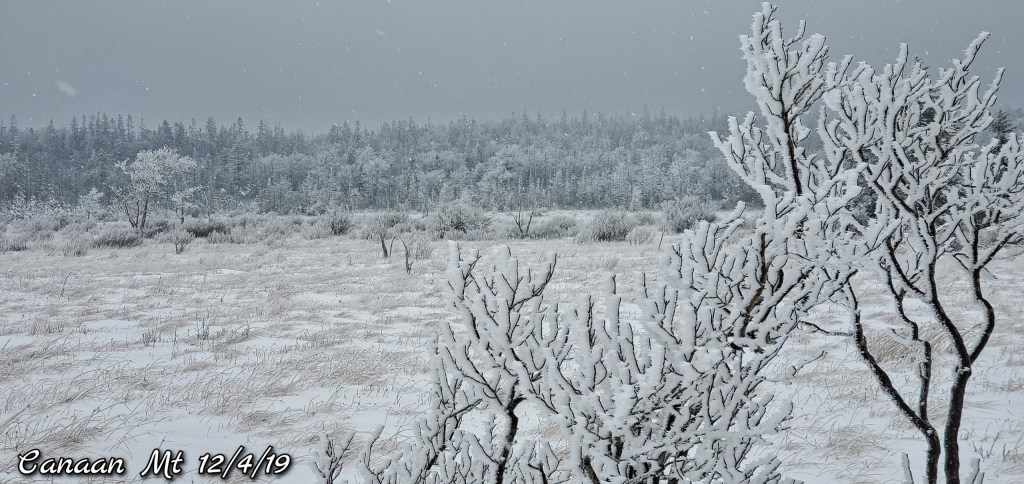
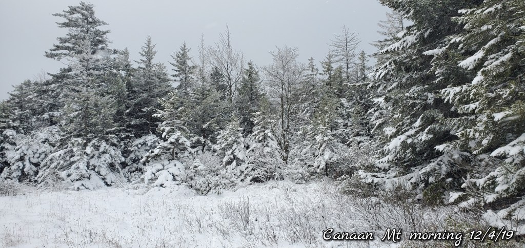
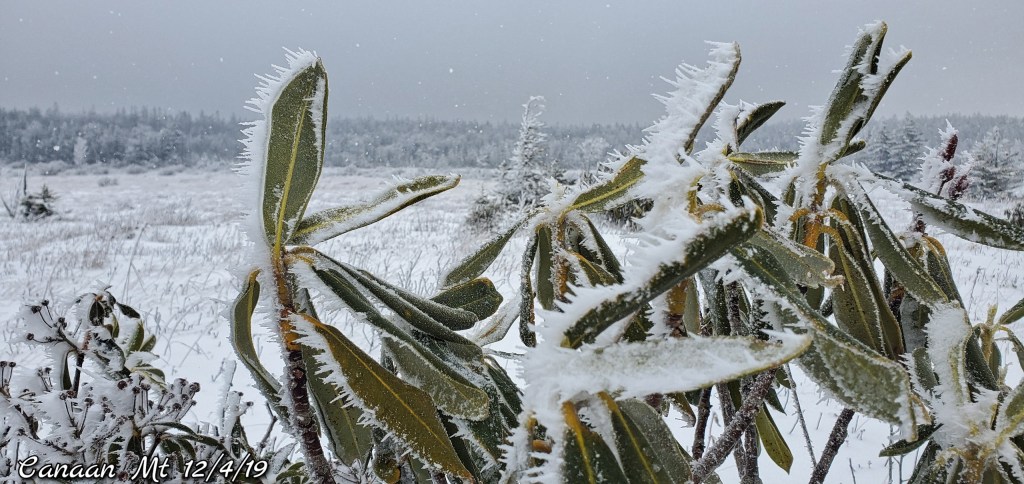
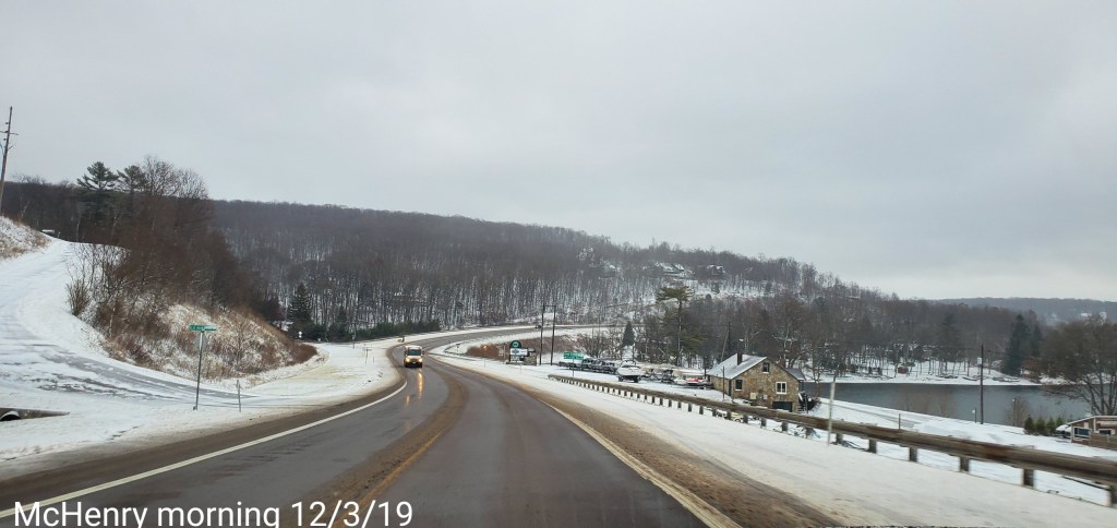
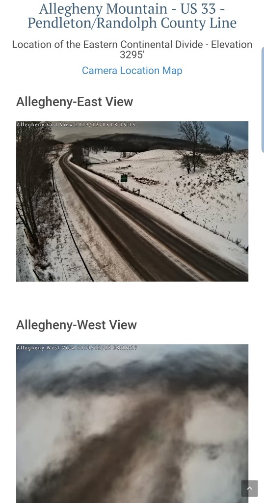
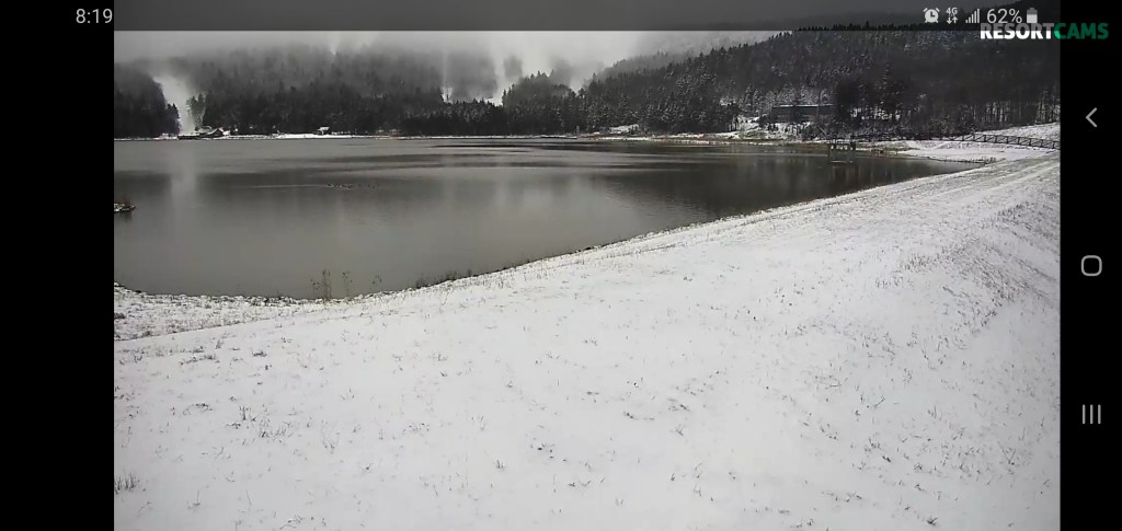
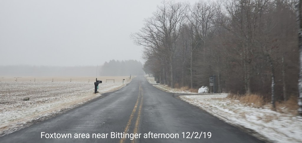
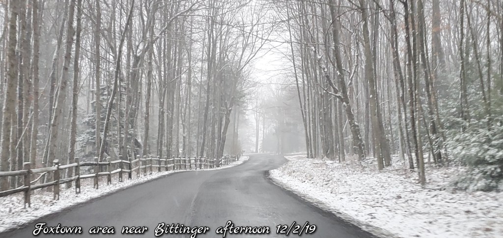
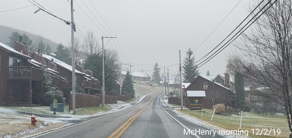
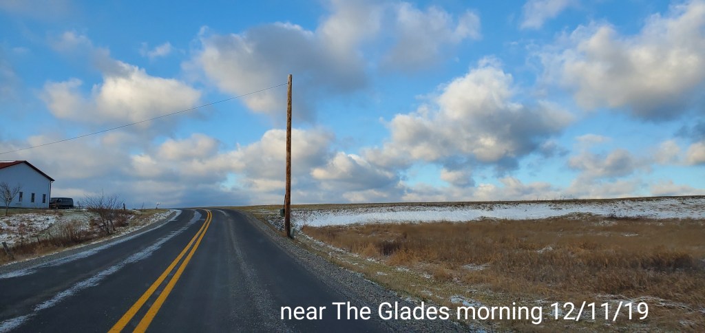
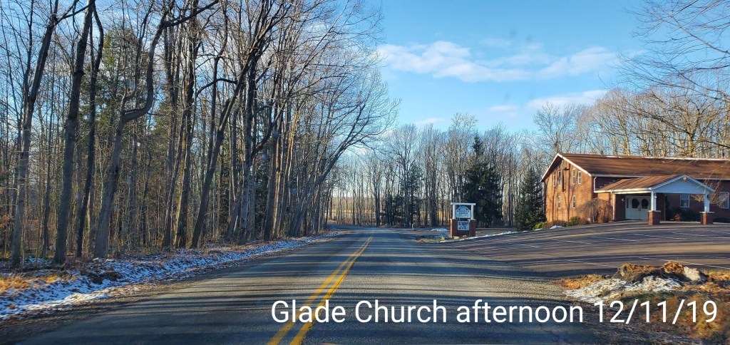
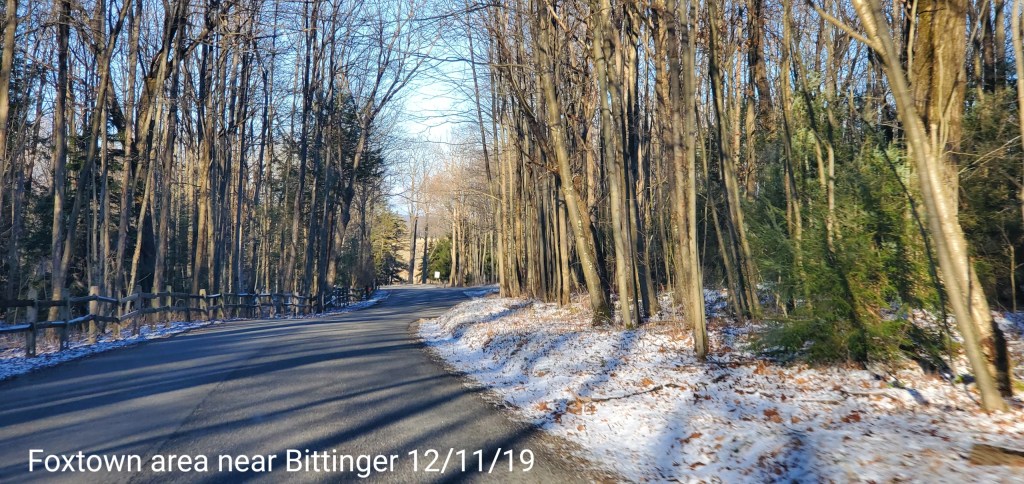
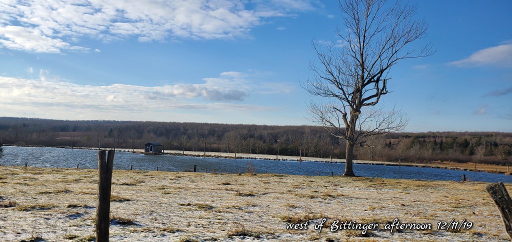
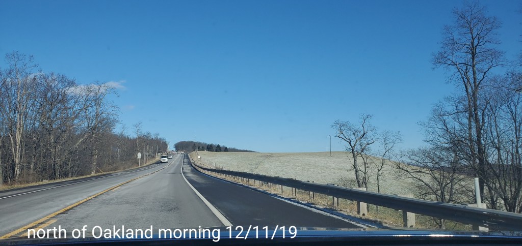
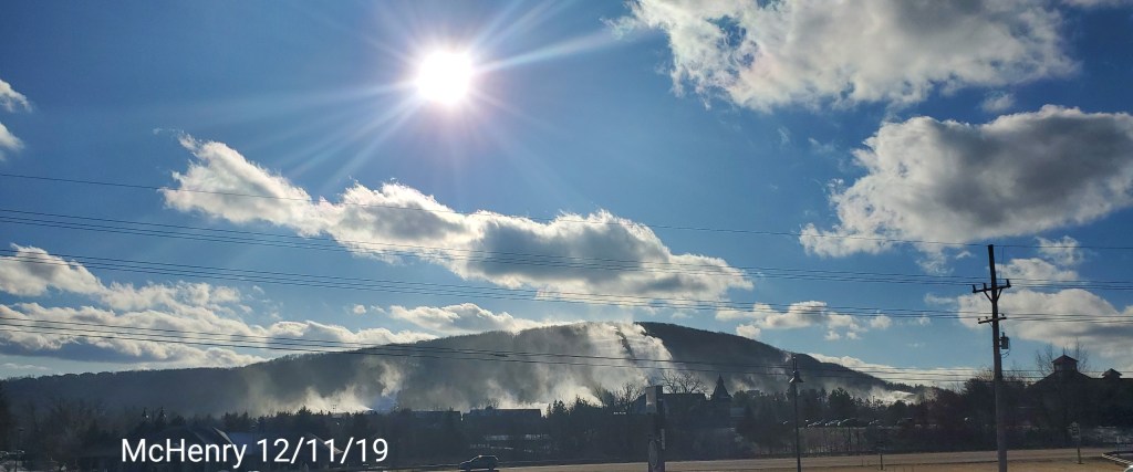
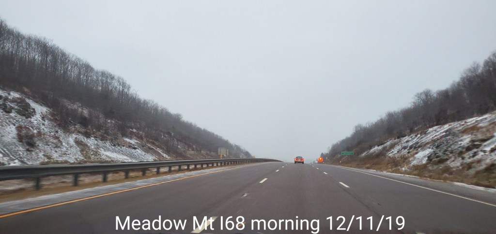
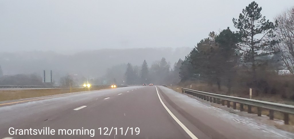
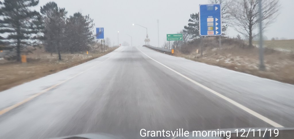
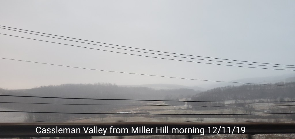
Pics today-
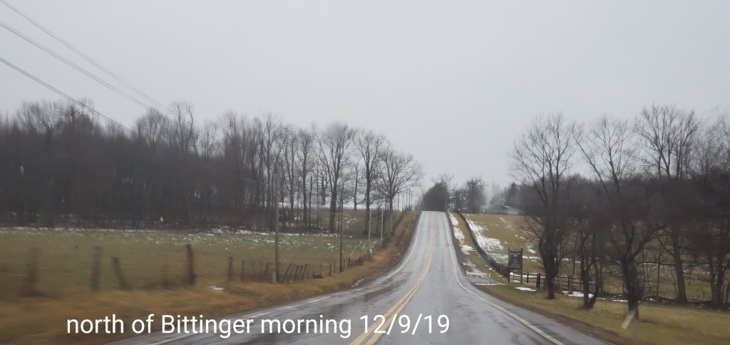
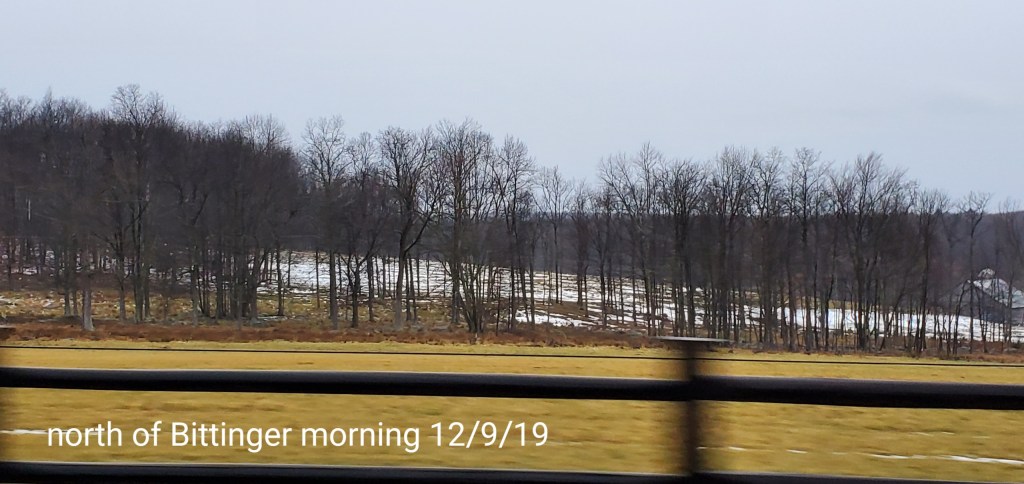
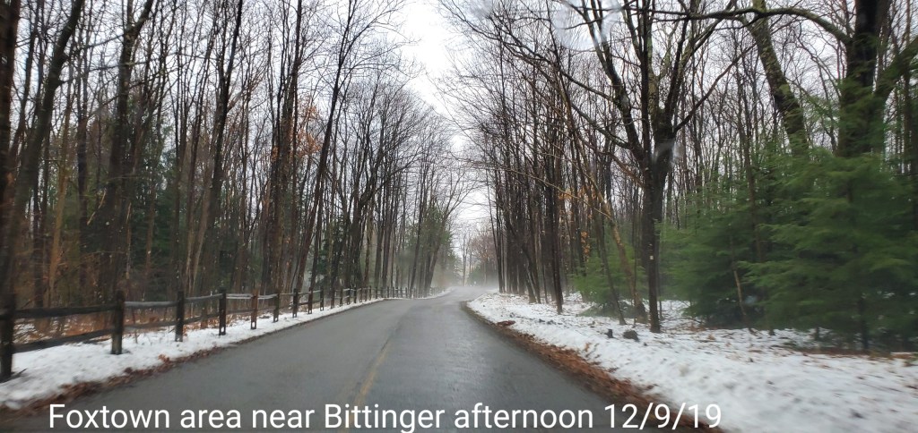
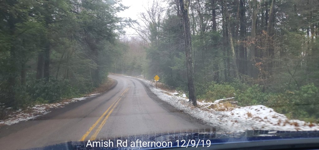
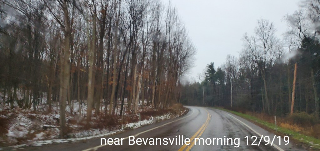
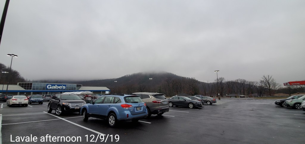
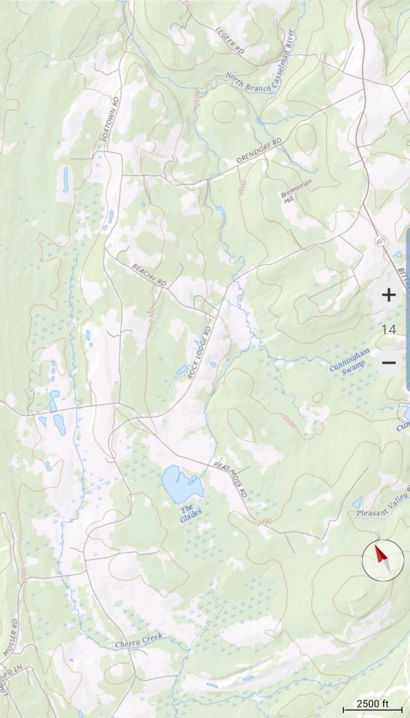
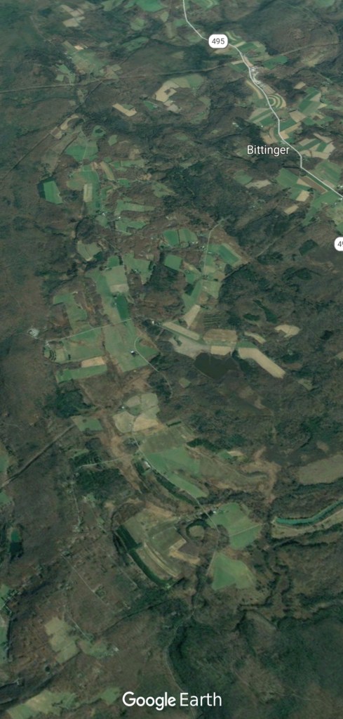
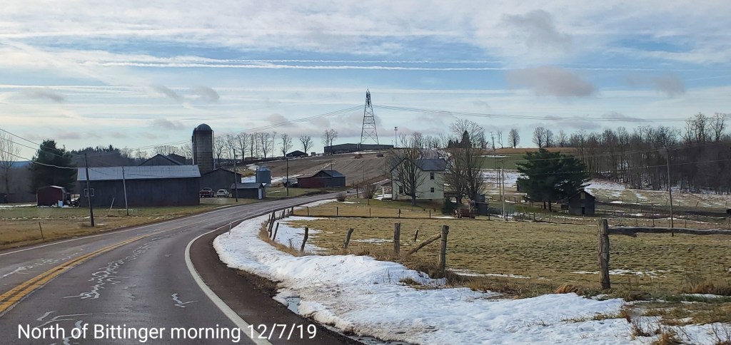
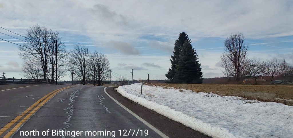
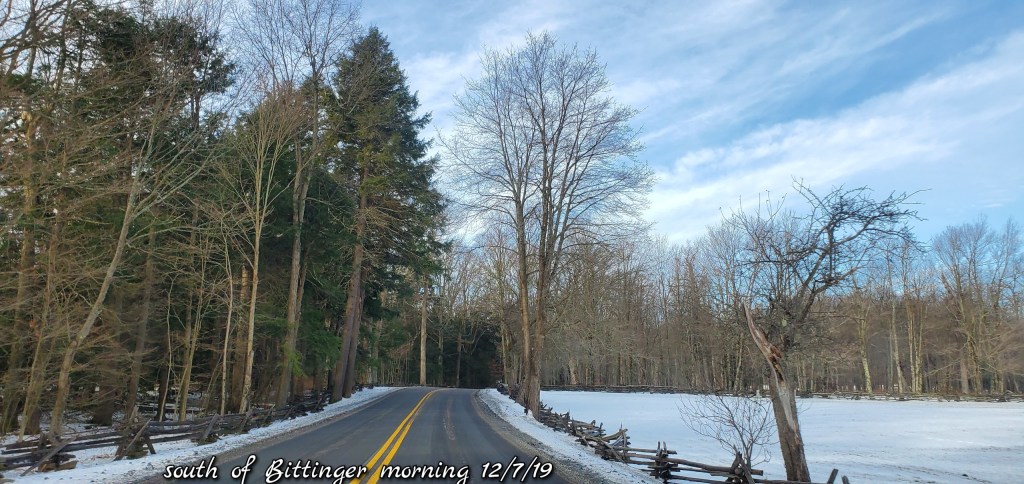
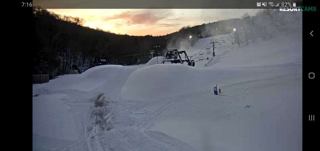
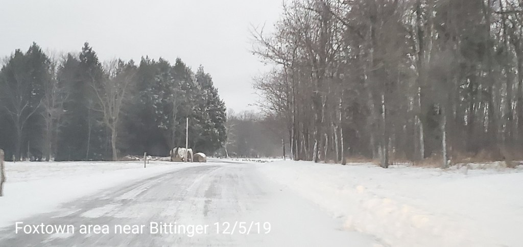
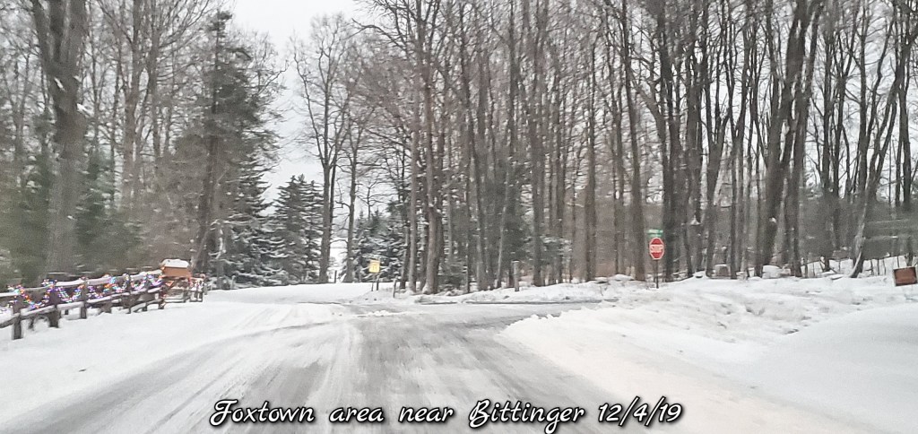
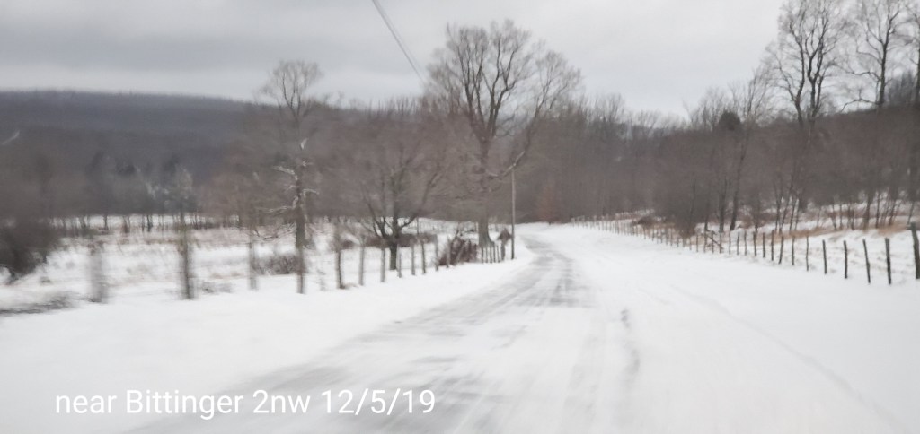
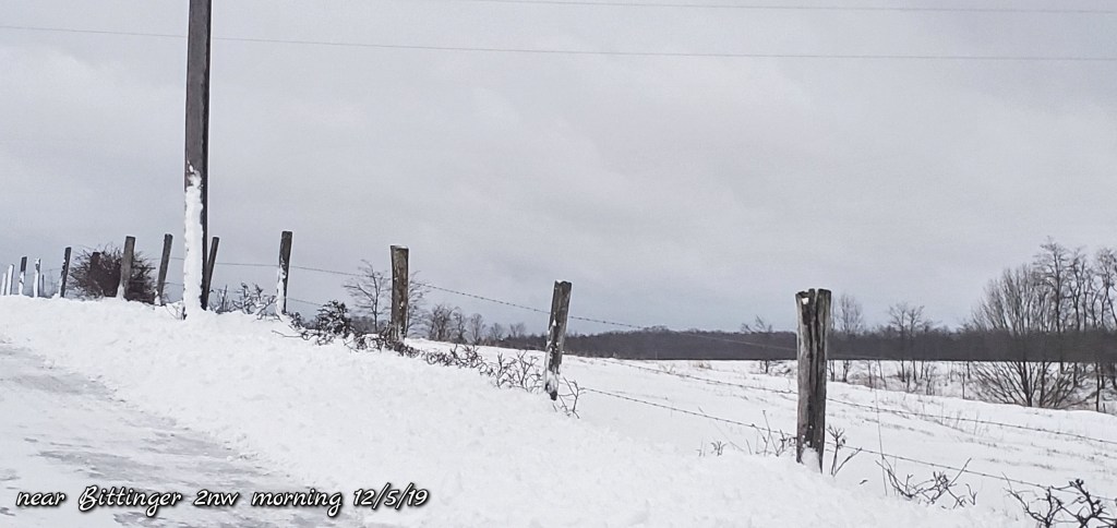
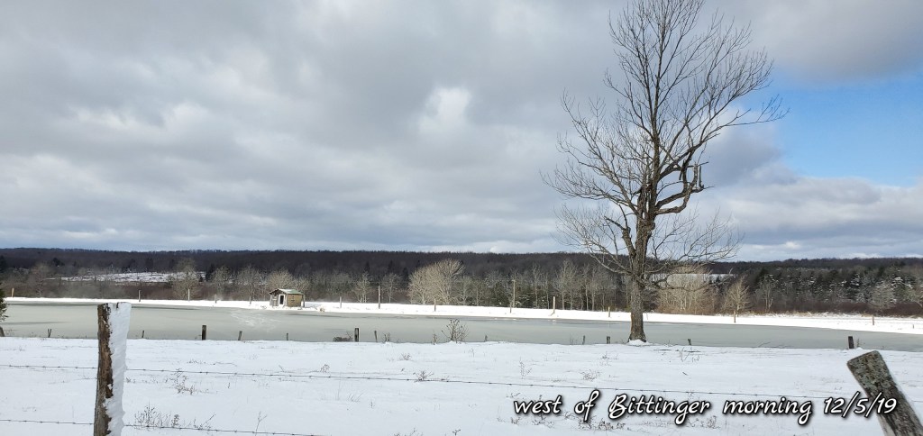
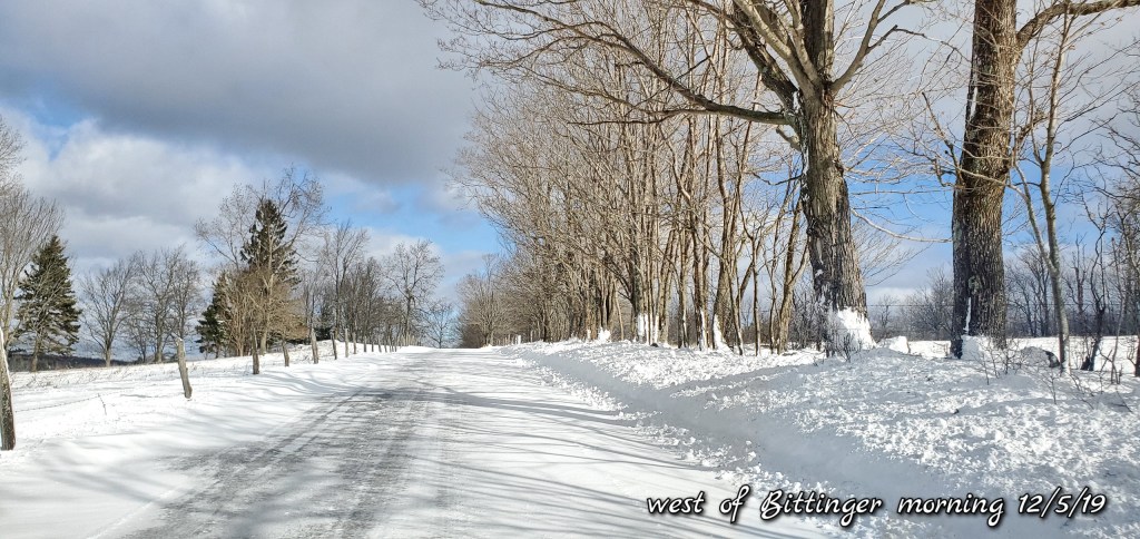
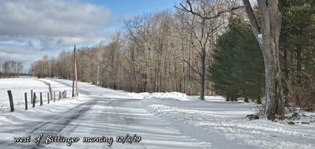
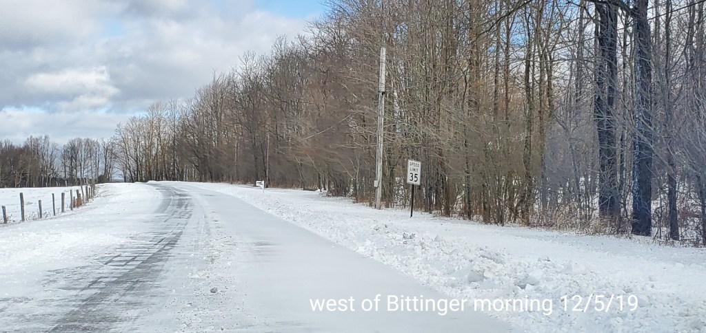
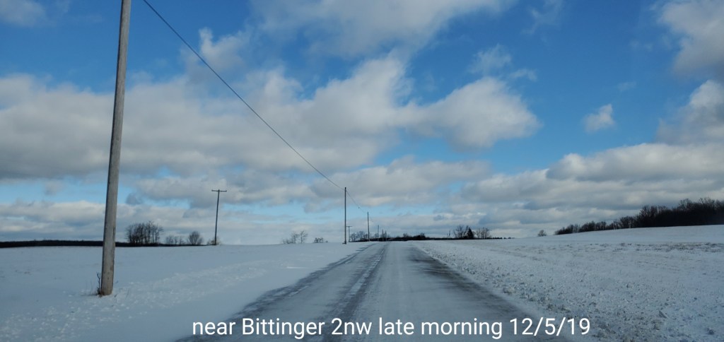
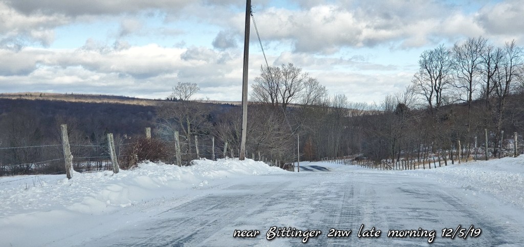
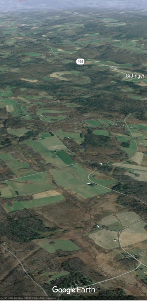
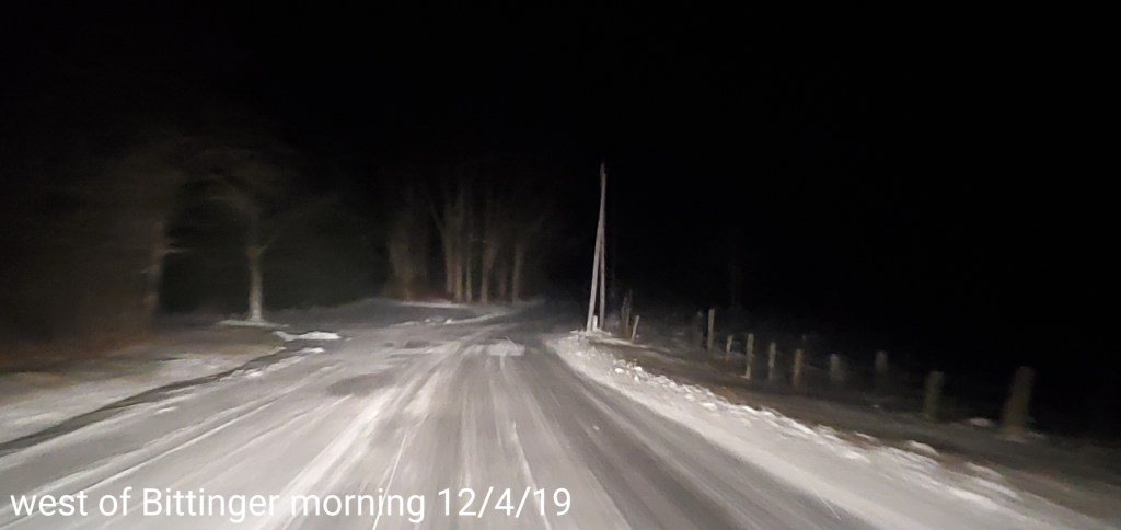
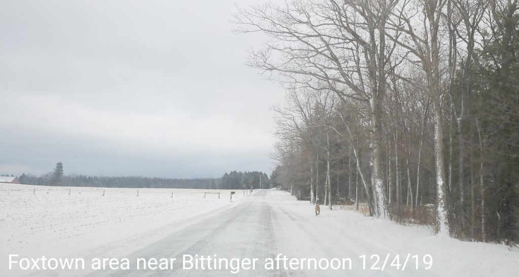
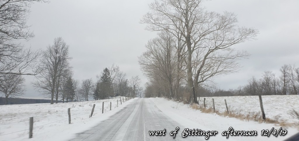
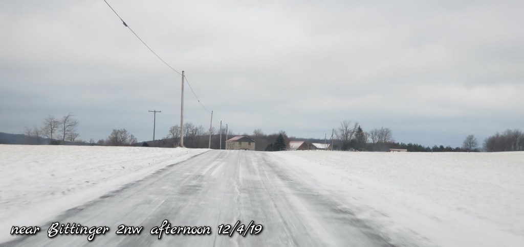
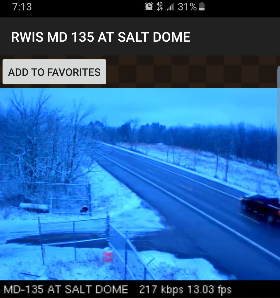
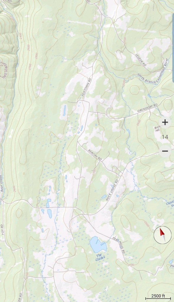
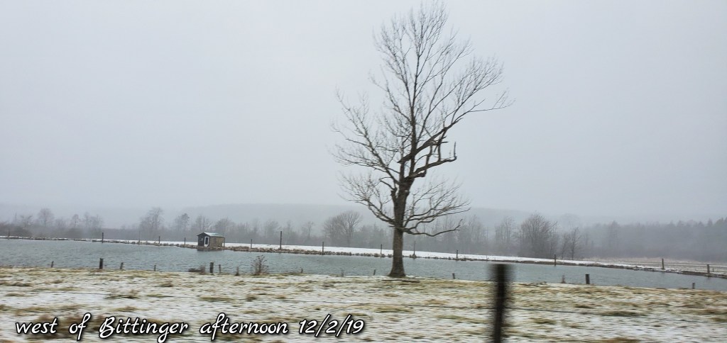
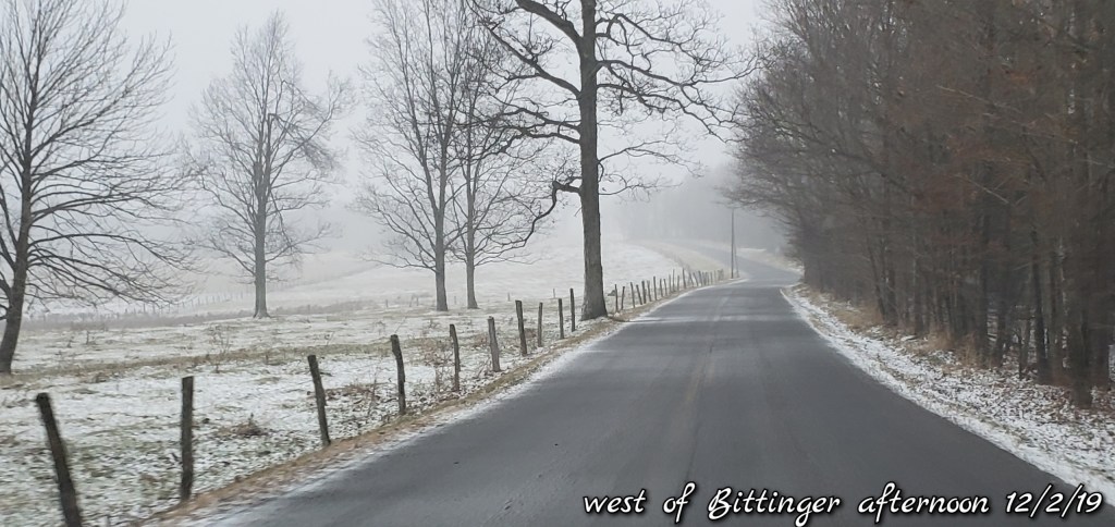
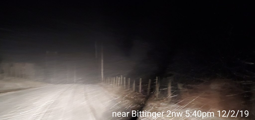
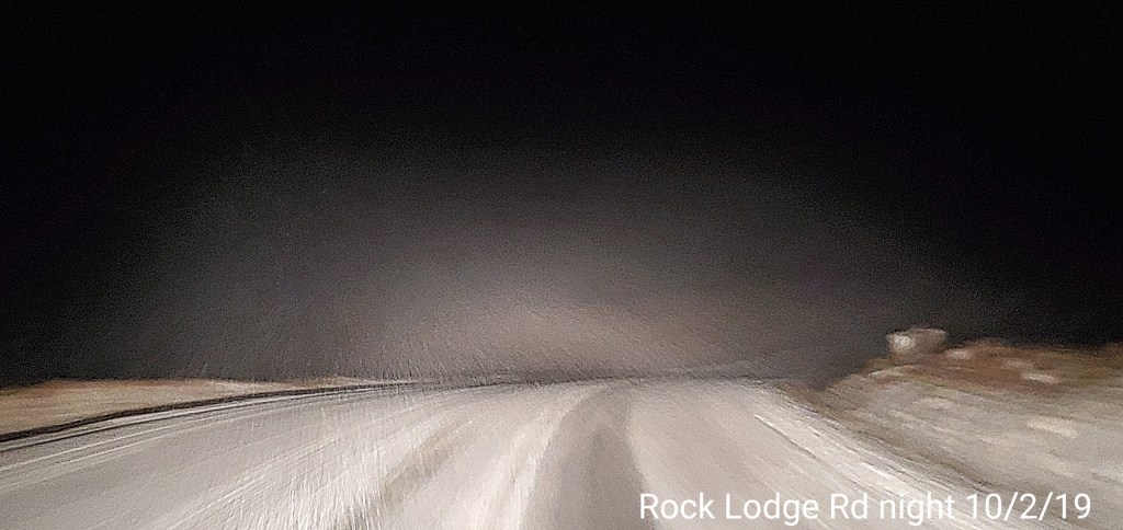
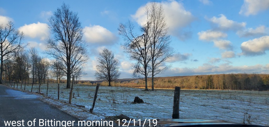
Bittinger area


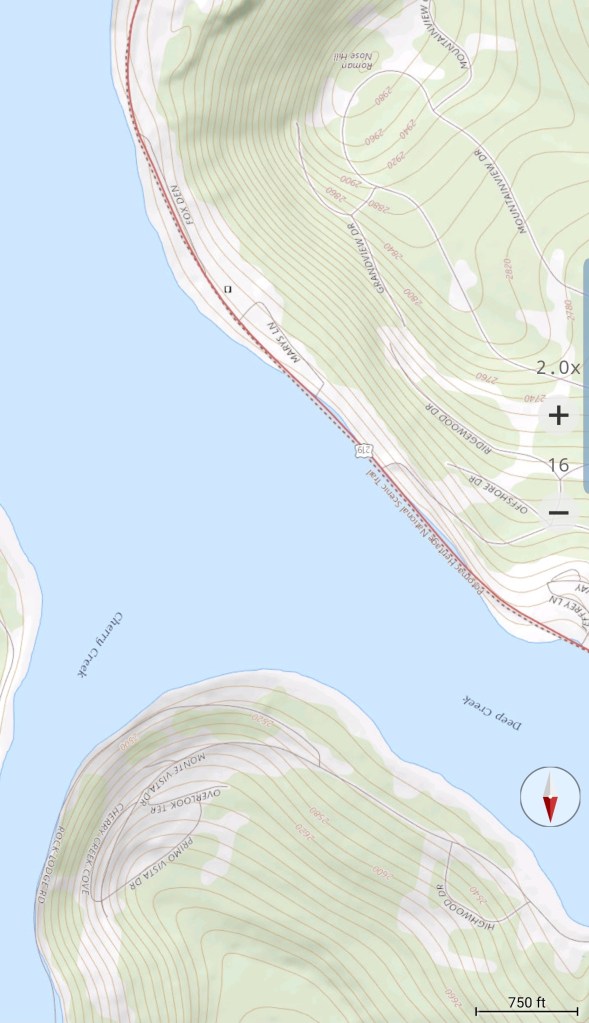
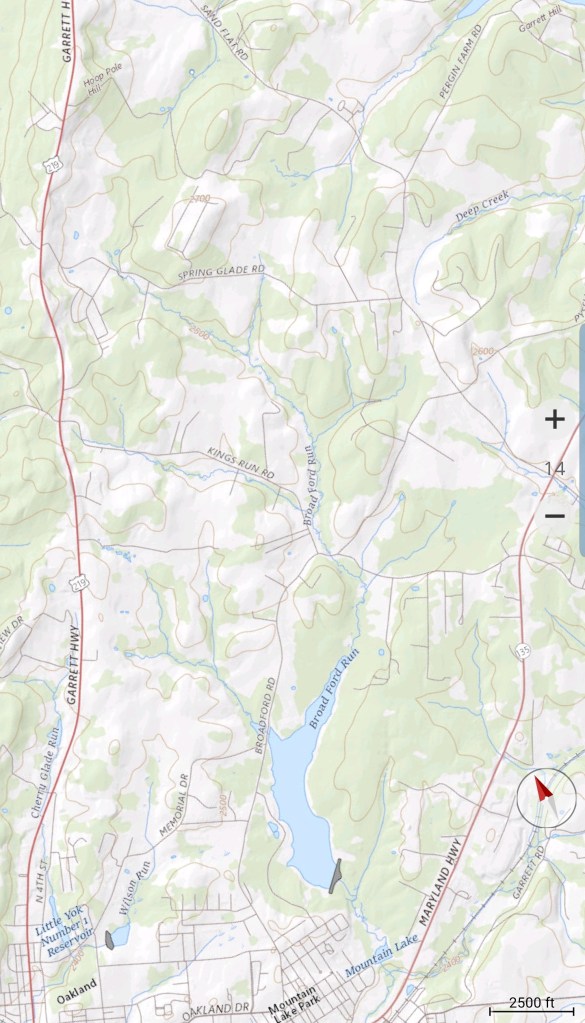
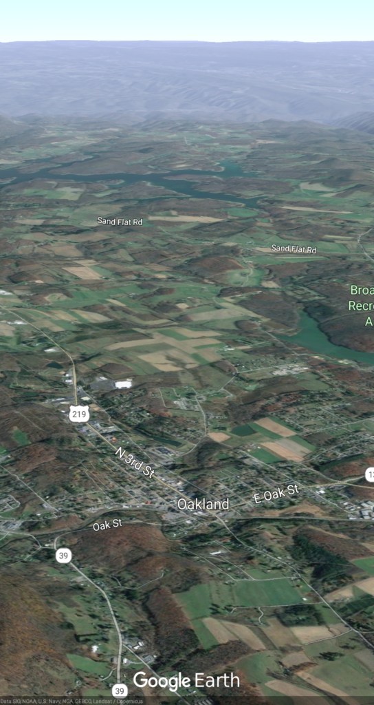
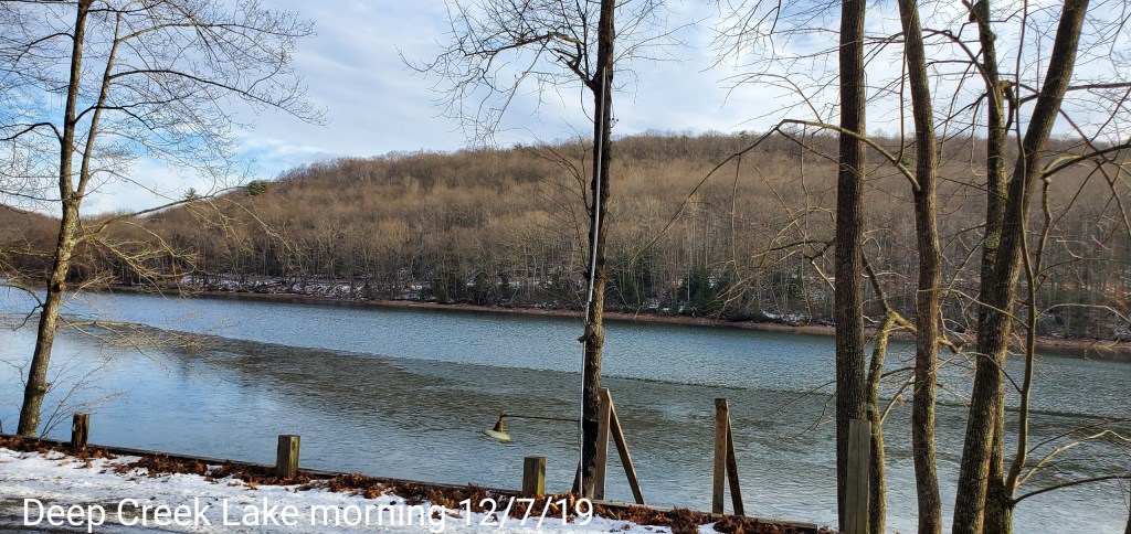
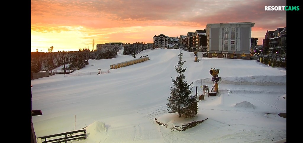
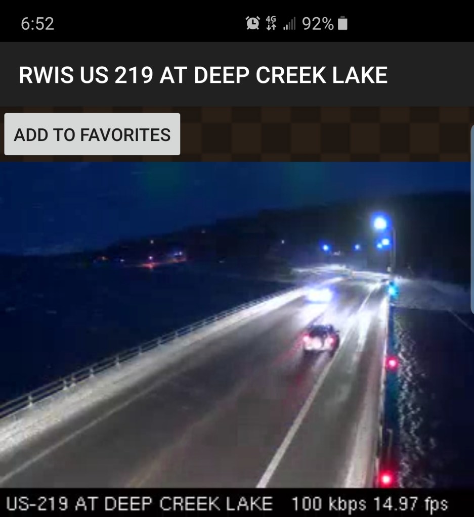
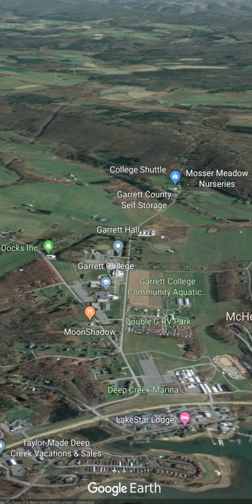
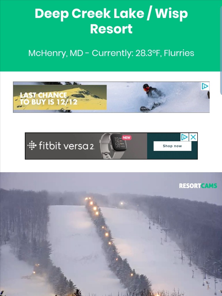
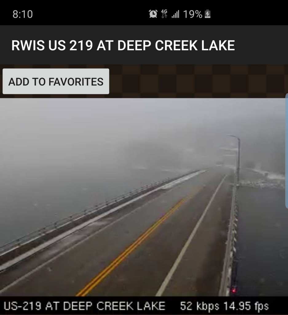
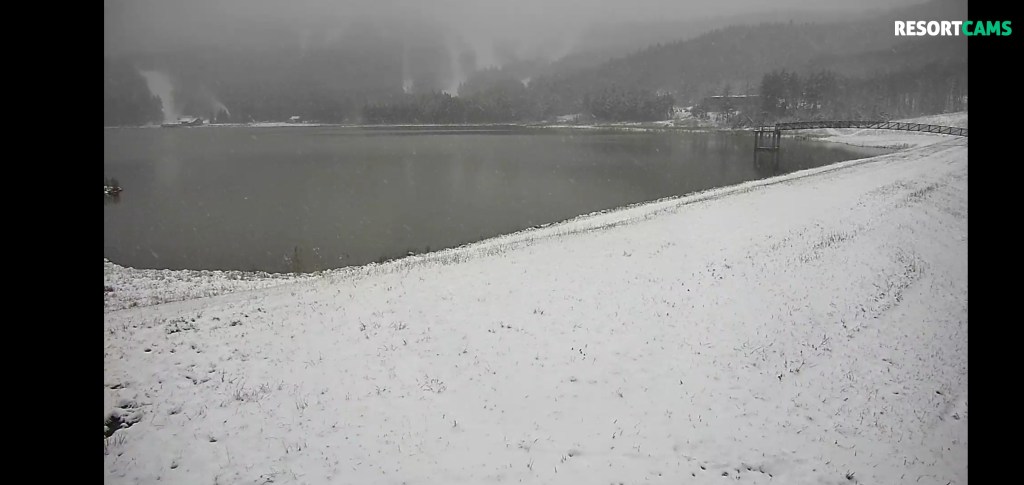
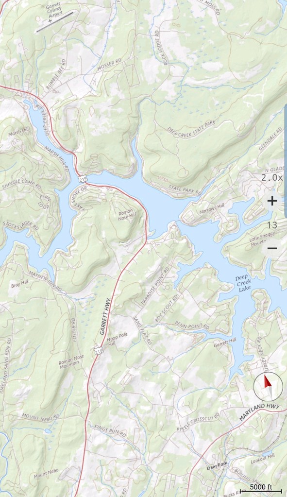
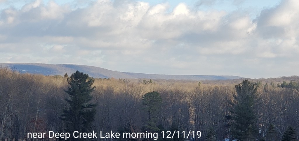
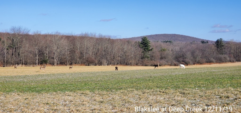
Deep Creek Lake area and south


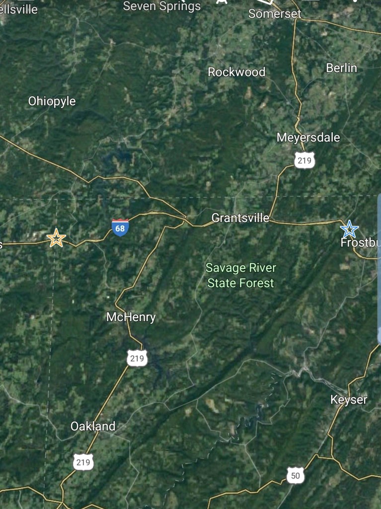
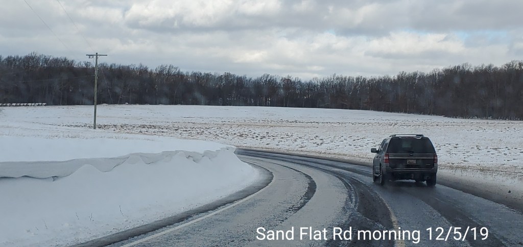
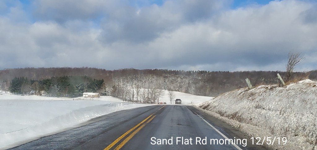
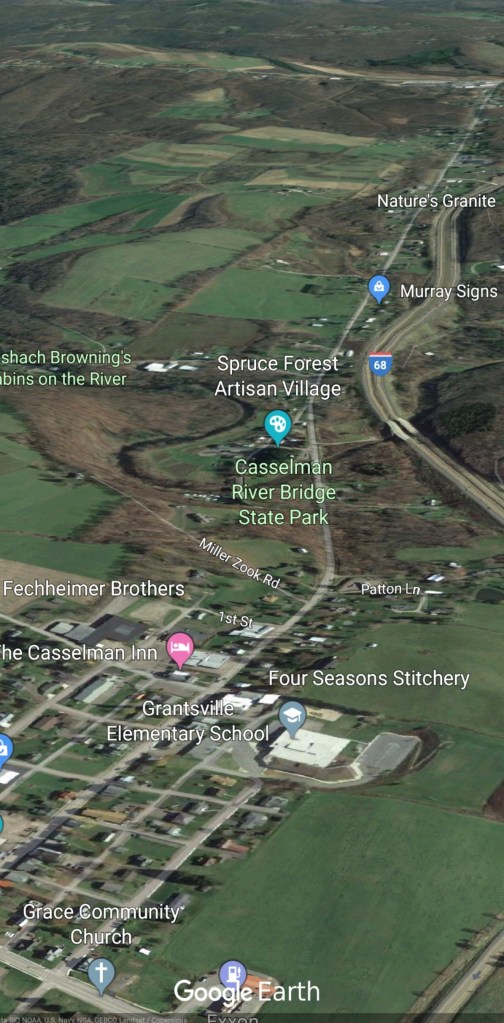
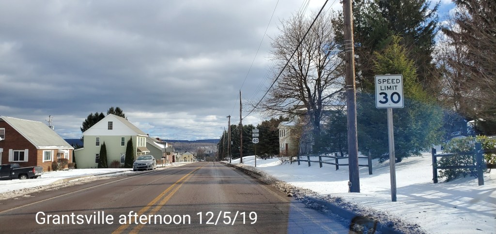
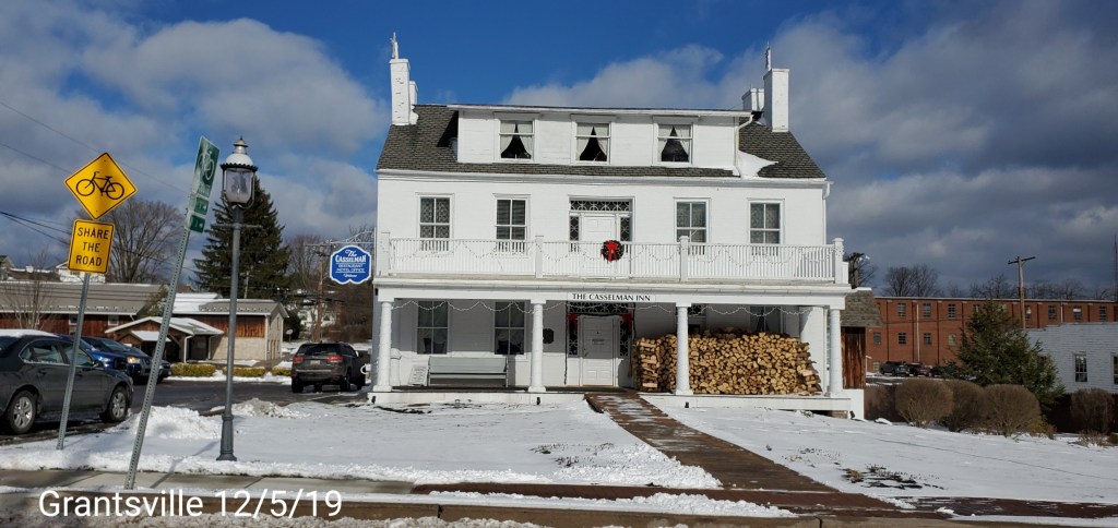
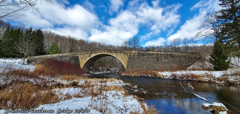
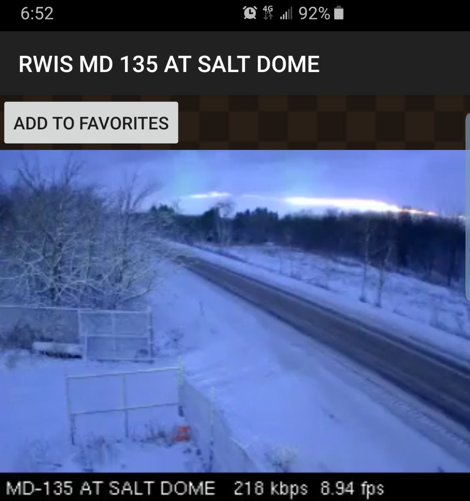
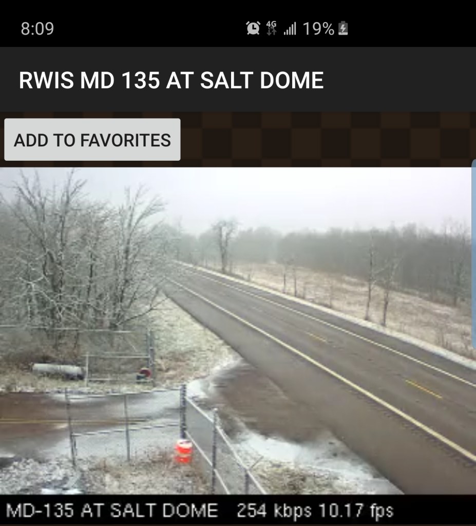
Grantsville area


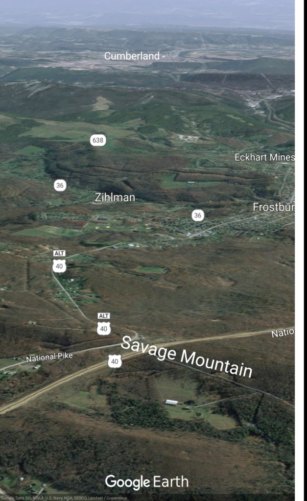
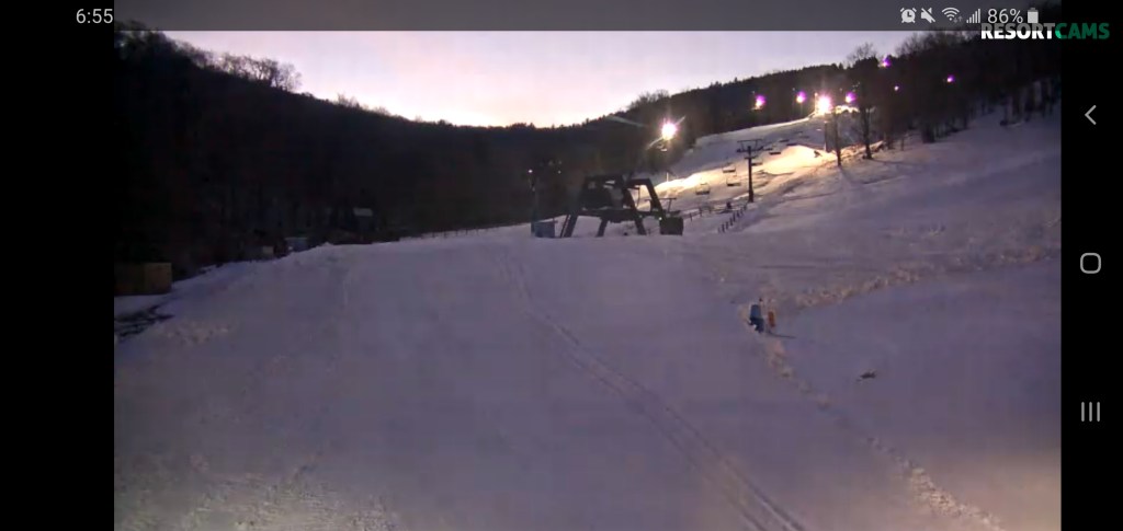
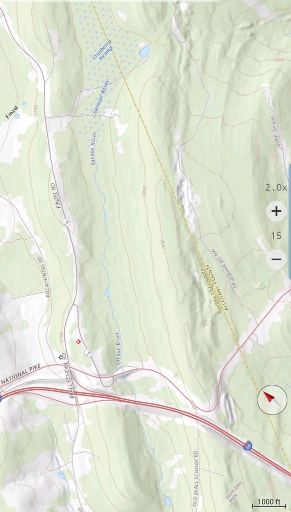
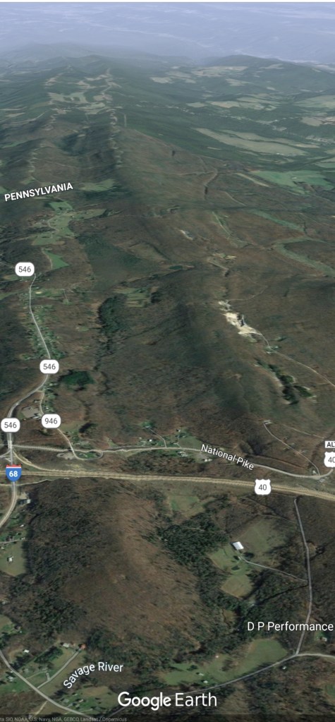
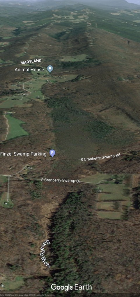
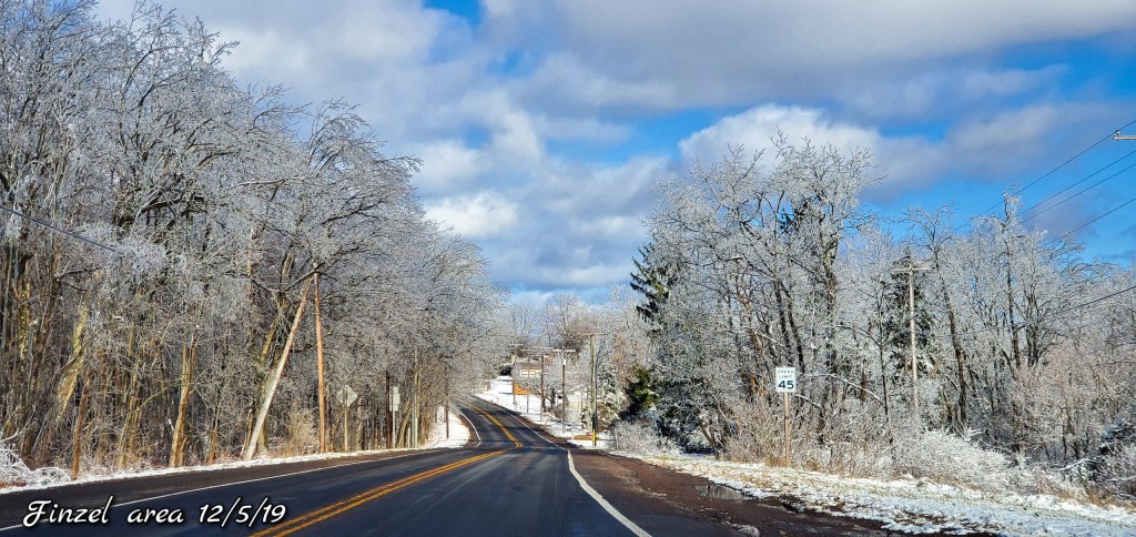
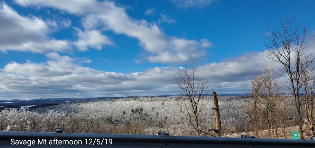
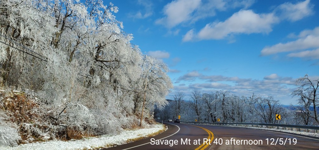
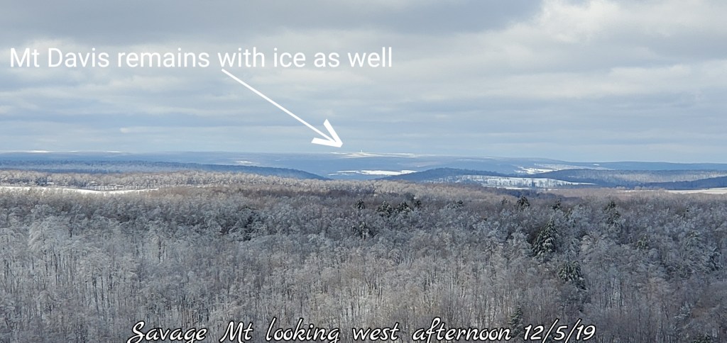
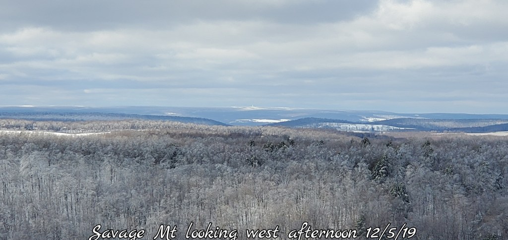
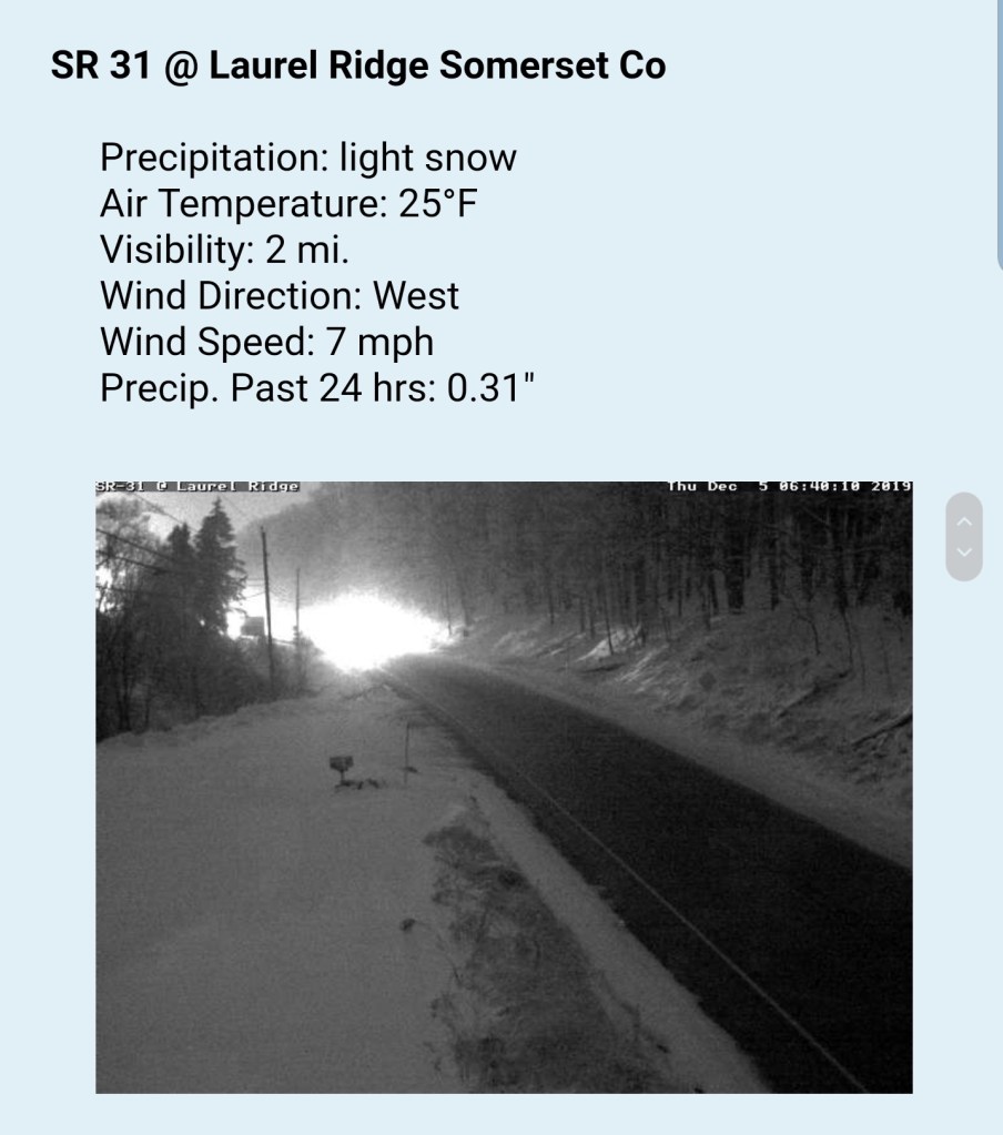
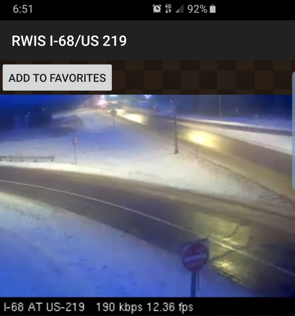
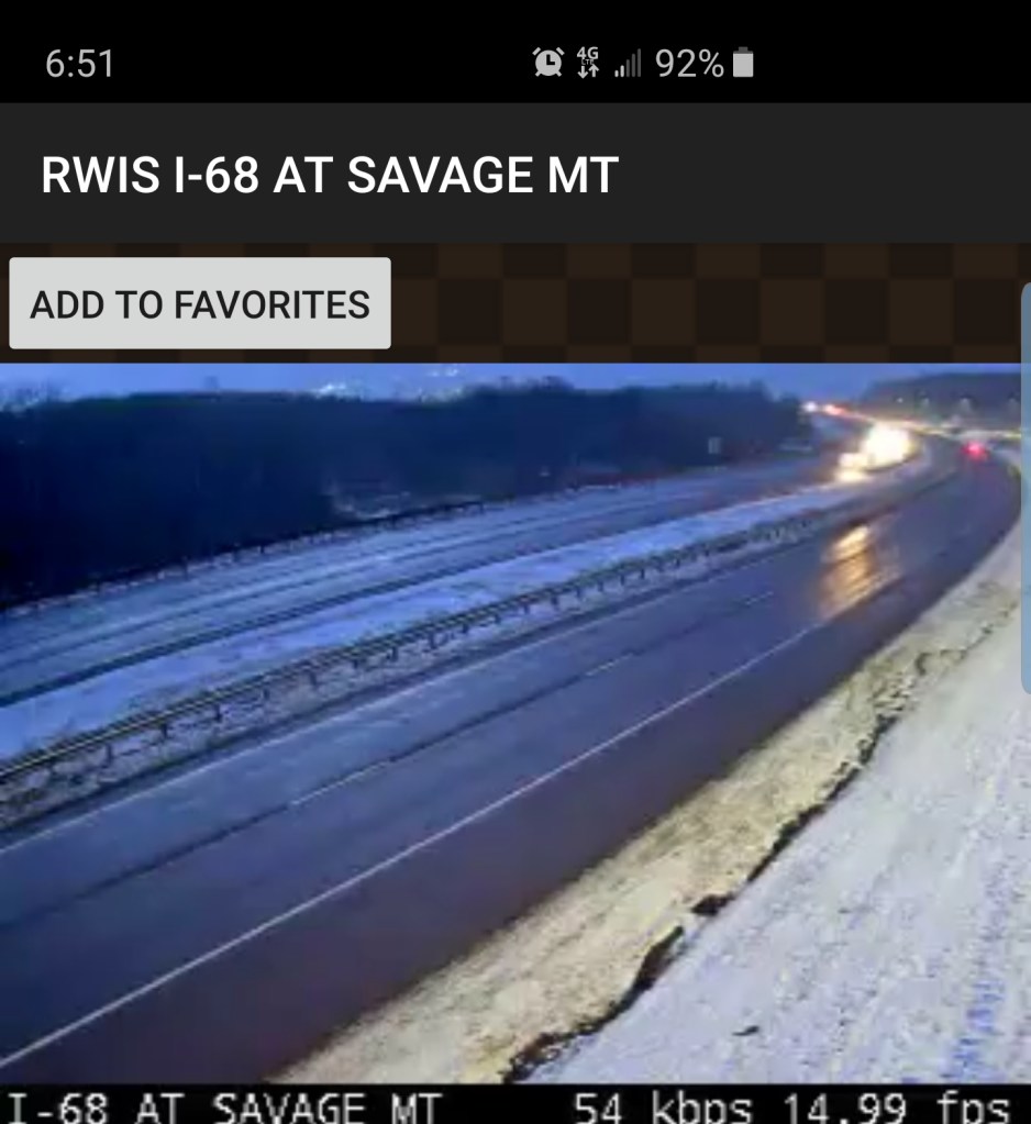
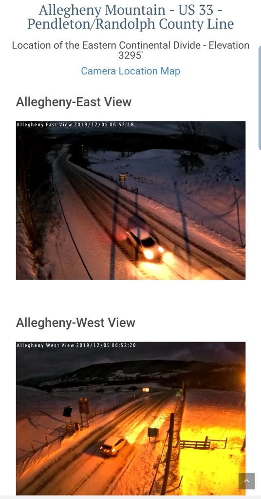
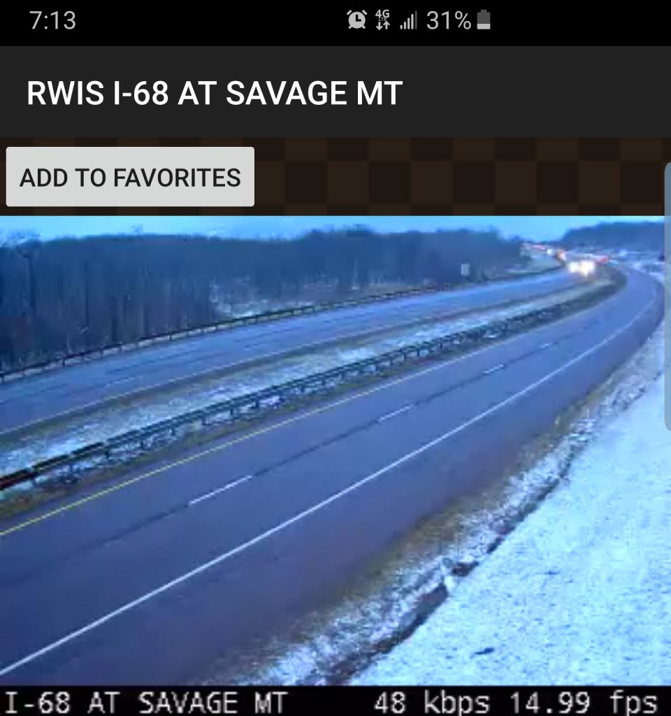
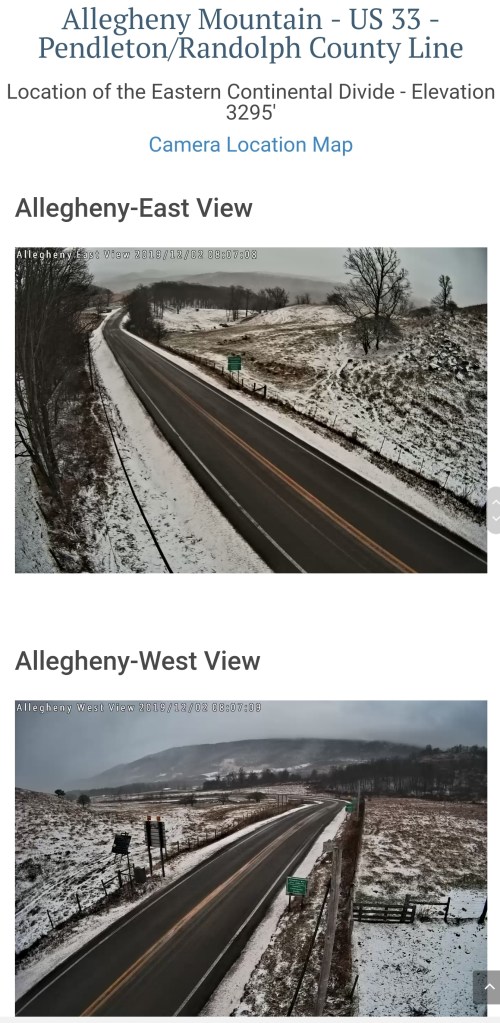
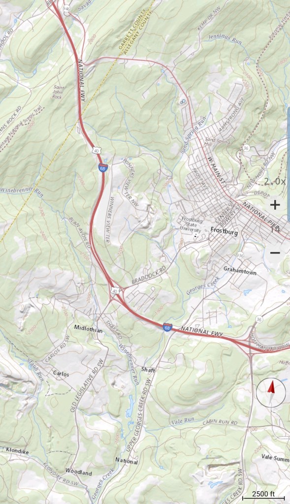
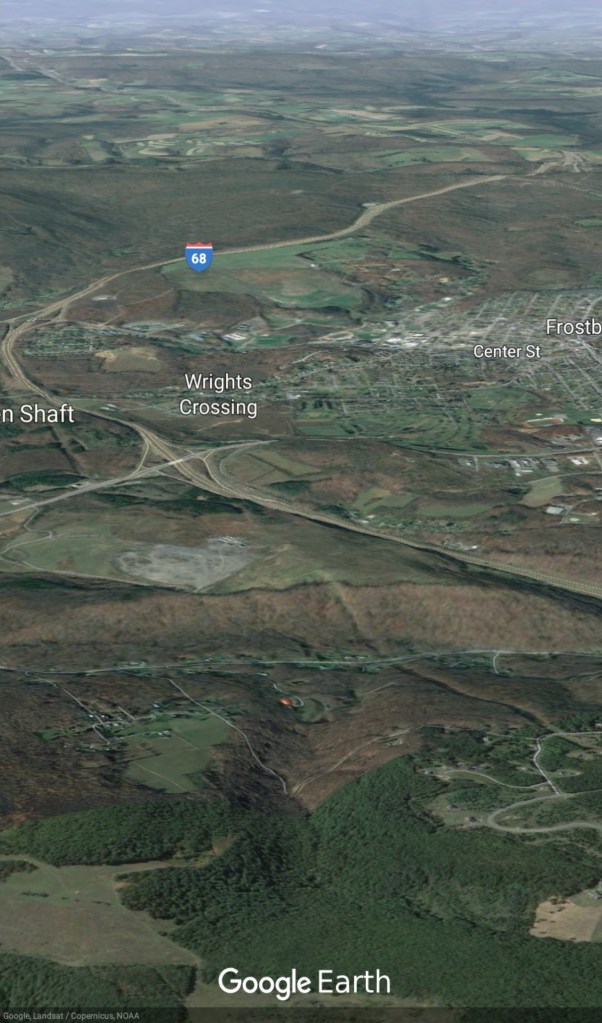
Frostburg-Savage Mt area
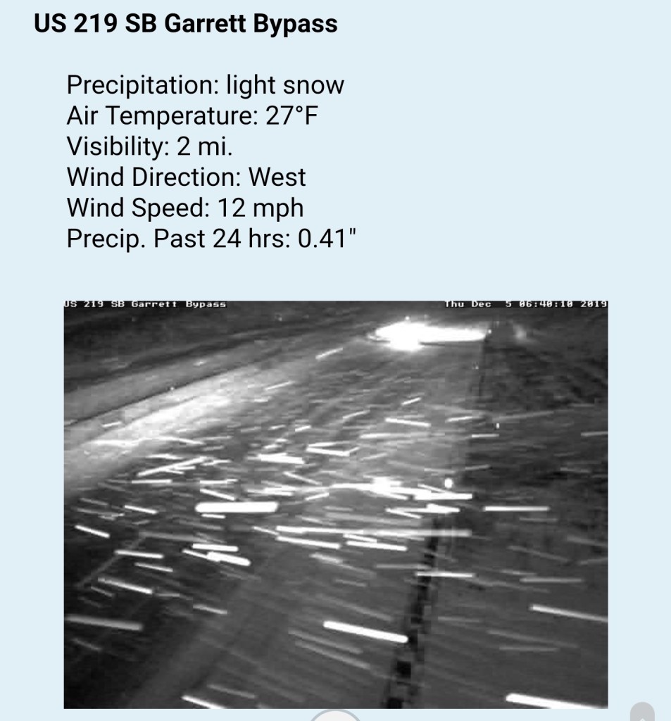
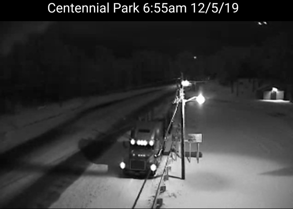
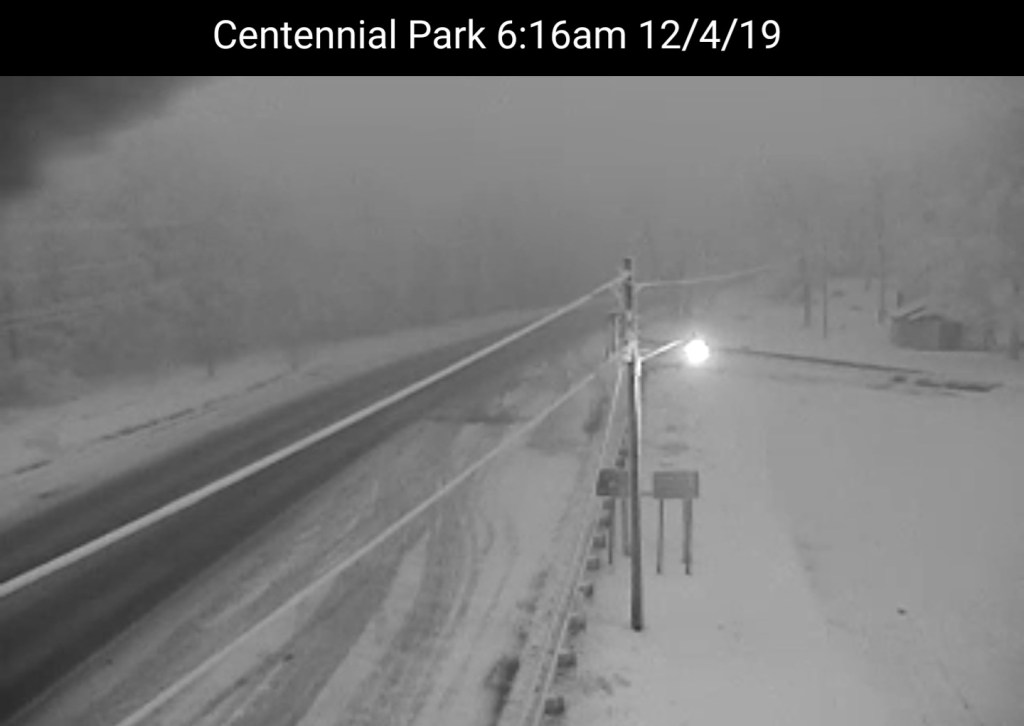
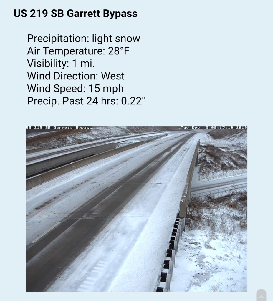
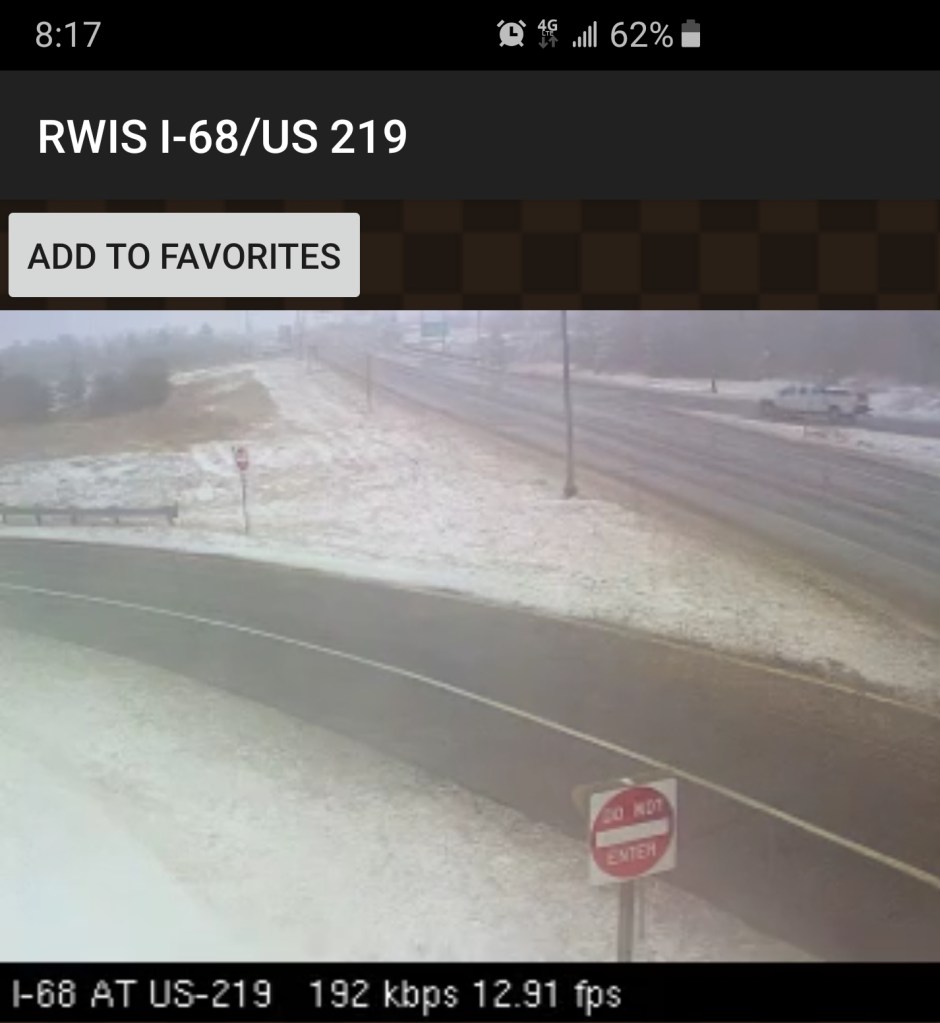
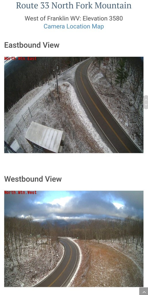
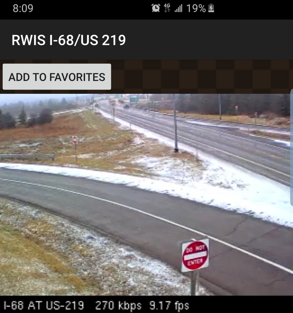
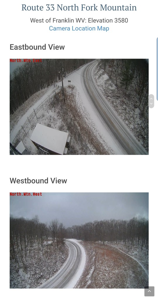
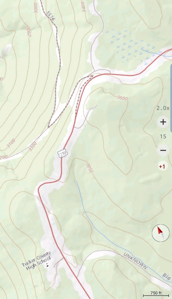
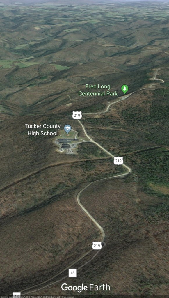
Centennial Park Tucker County Rt 219
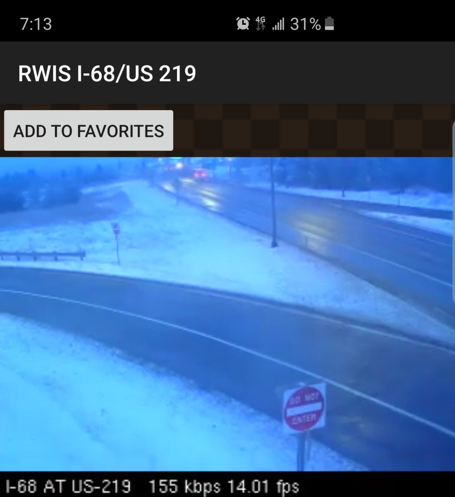
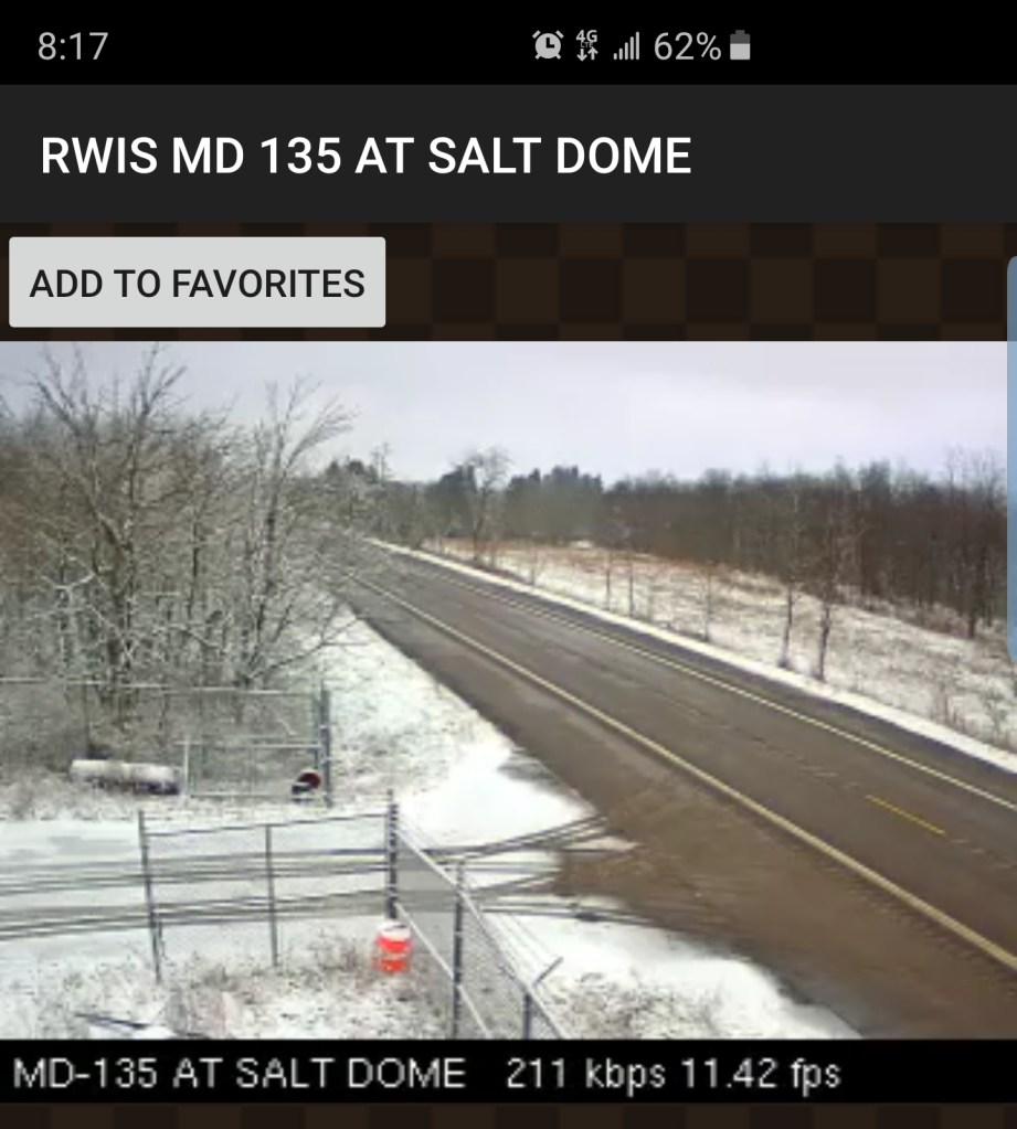
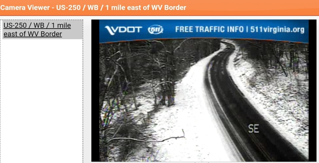
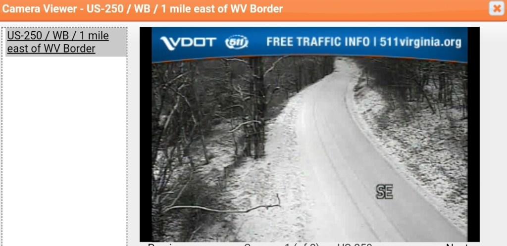
Keysers Ridge
Evening update: 7pm 12/11/19
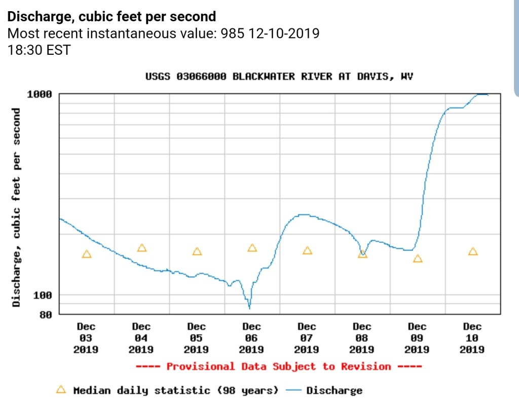
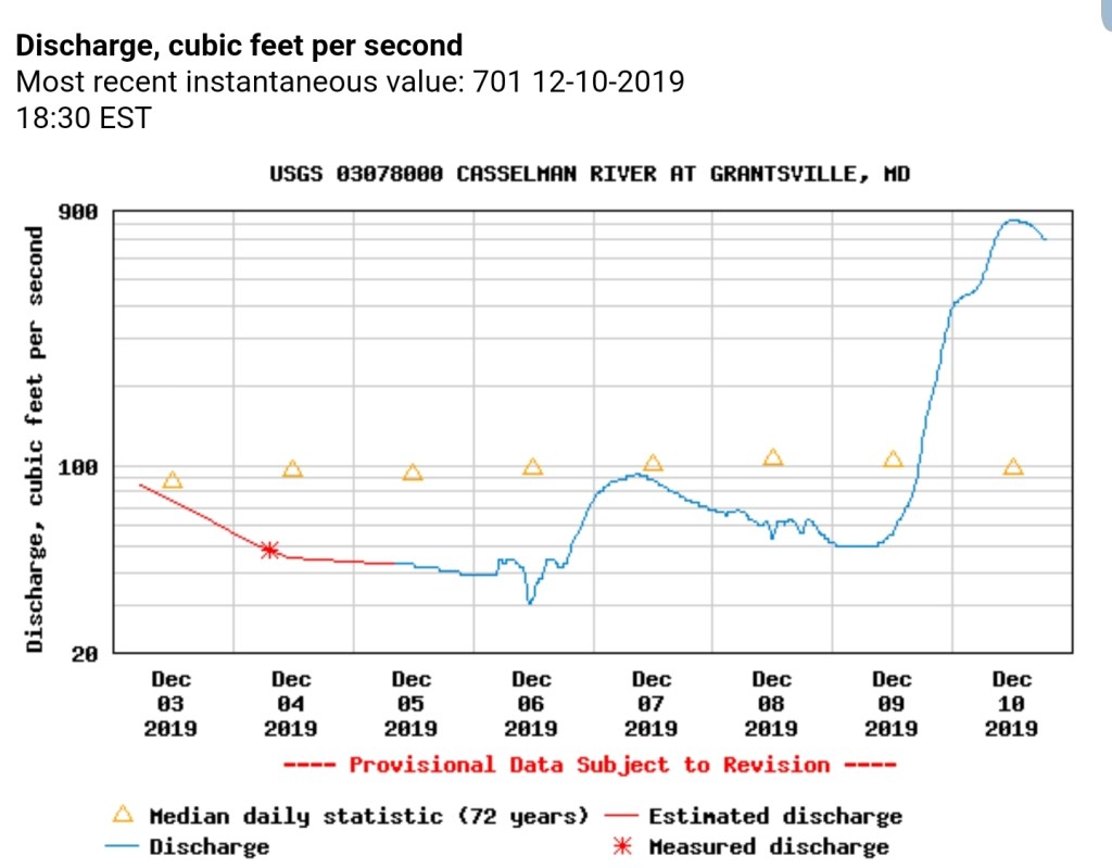
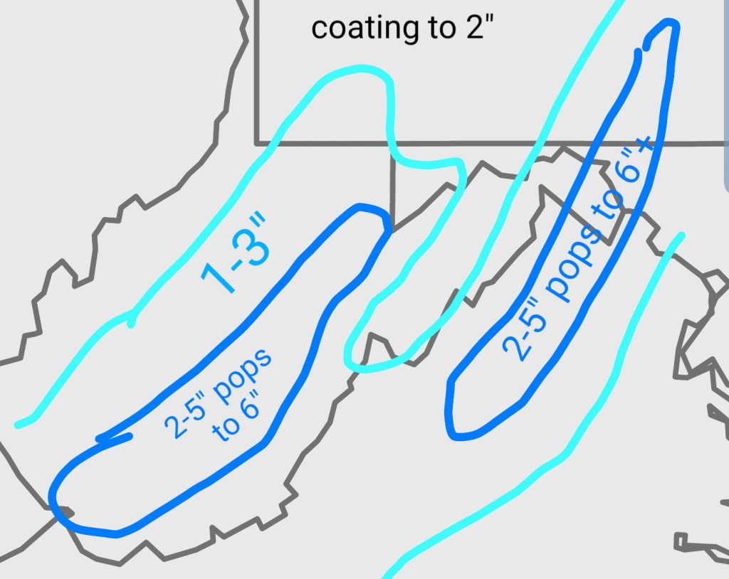
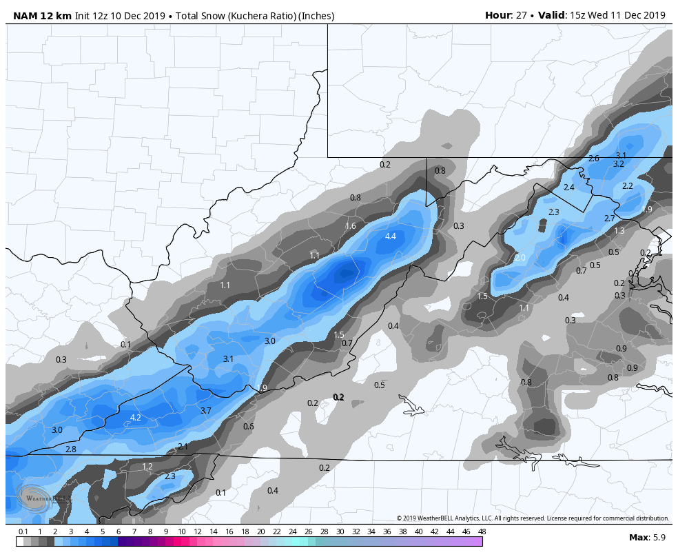
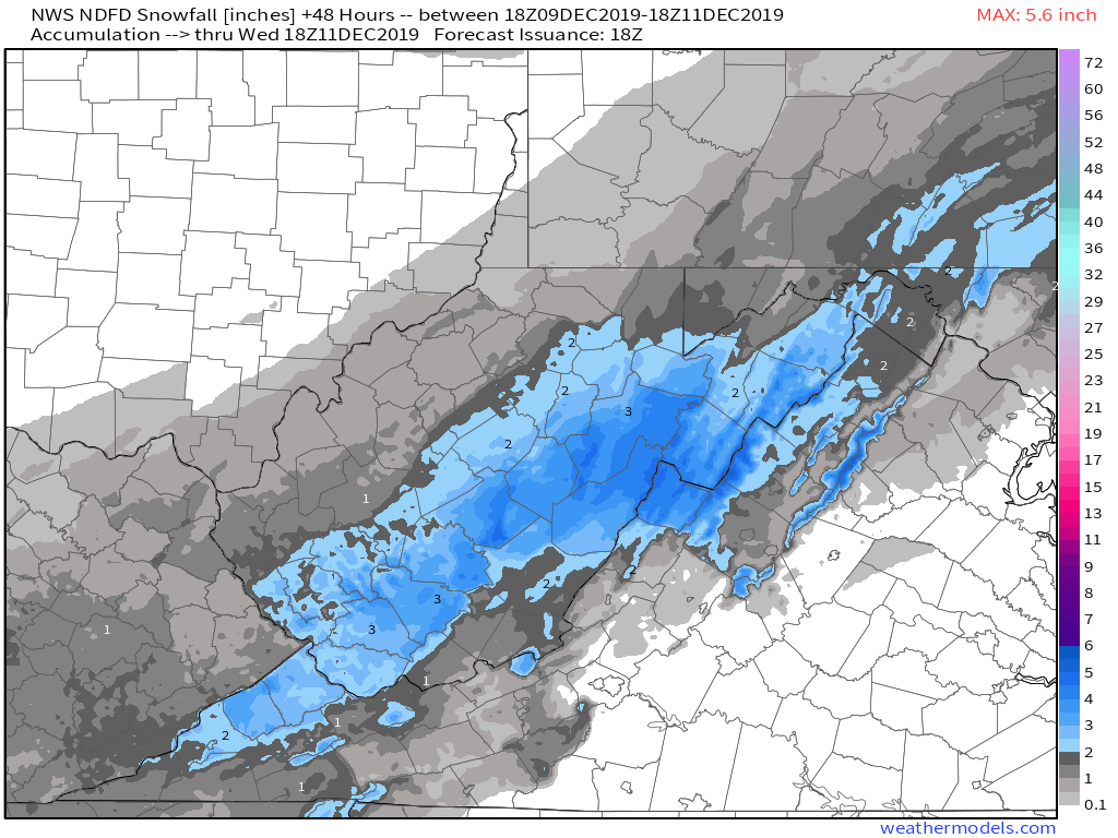
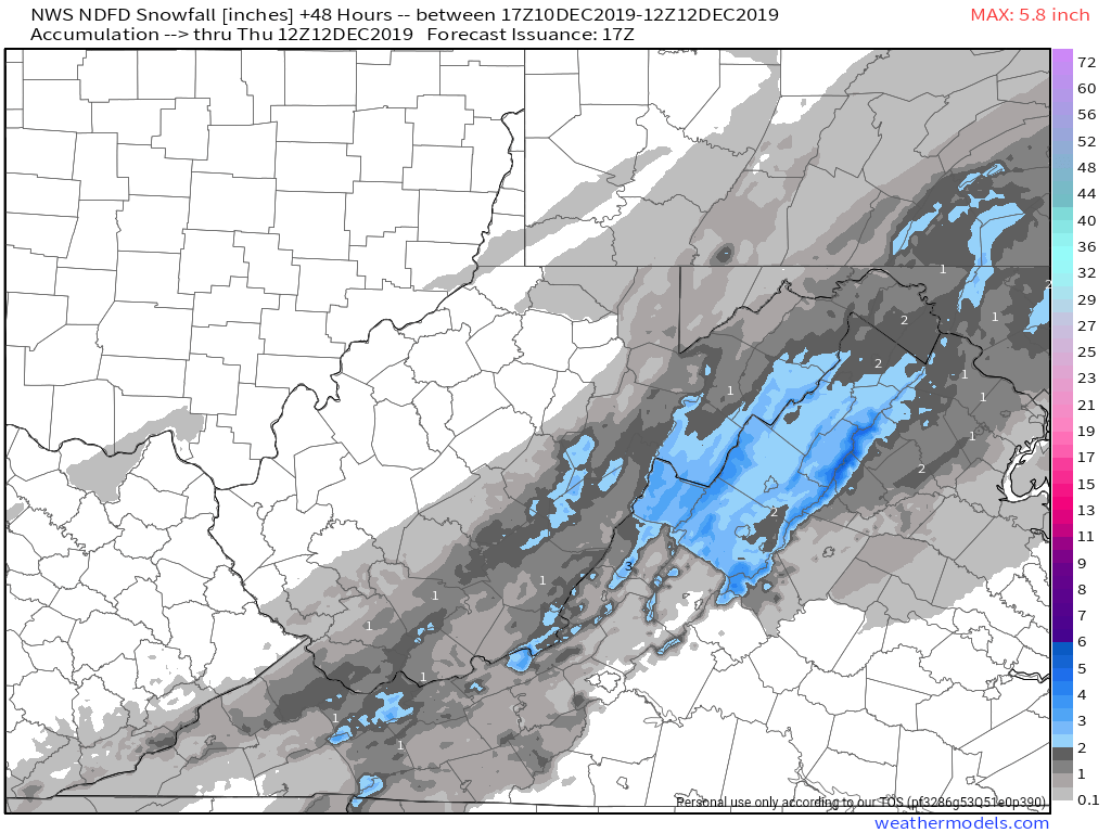
A quick recap and a look ahead. The brief snow event last night ended up on the minimal side of expectations. Totals remained at the low end of expected amounts and in many cases just under. No area overperformed.
Reported amounts

Looking ahead-
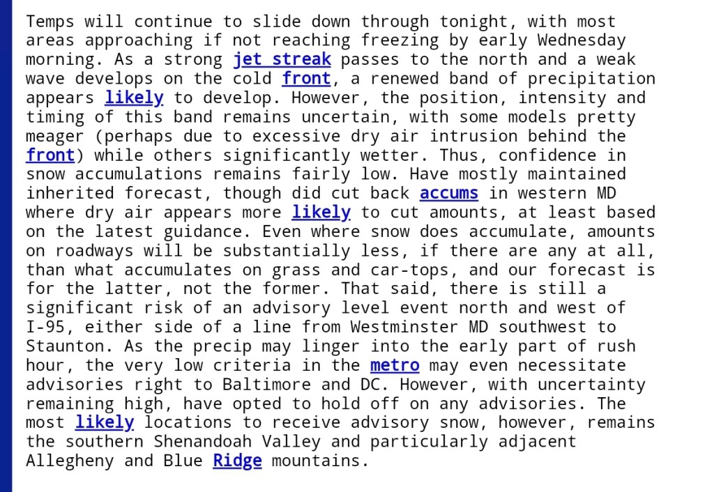
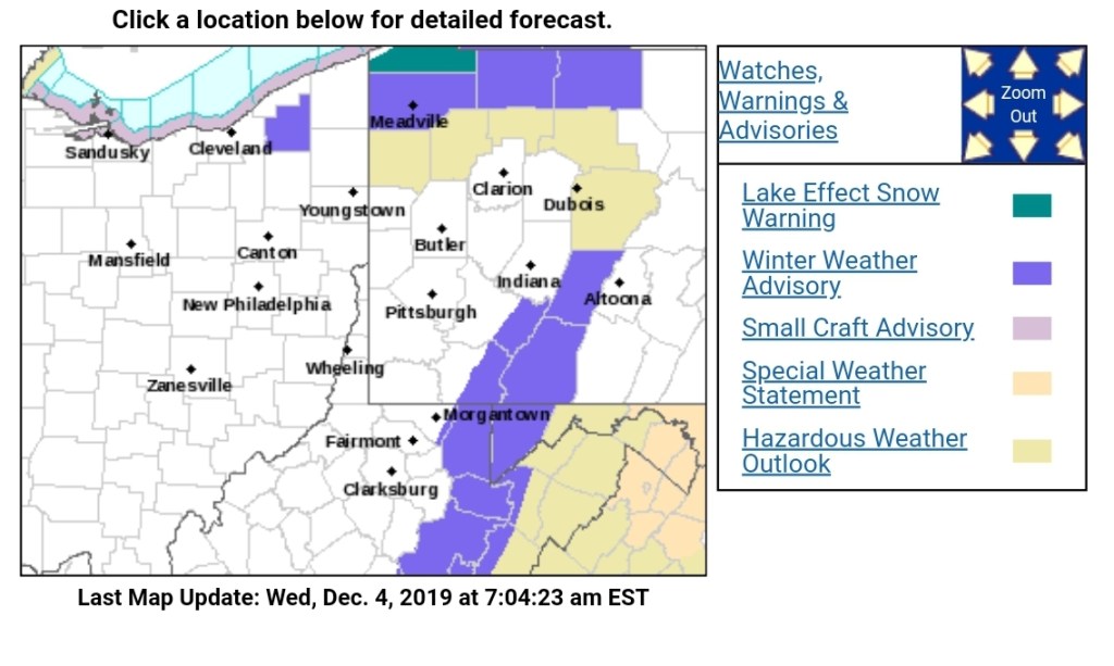
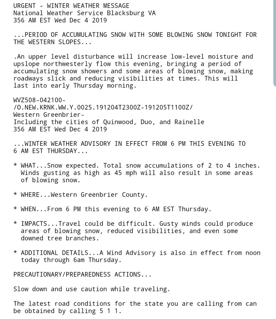
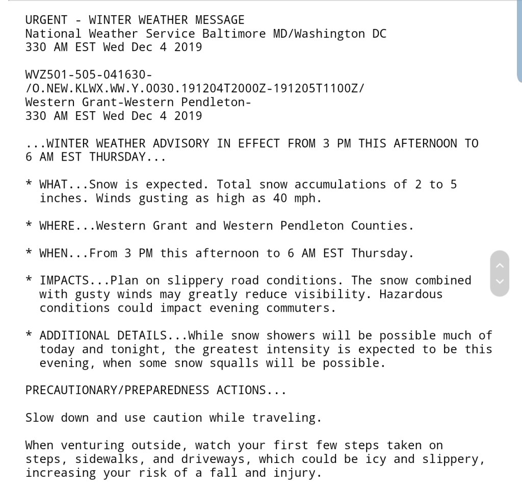
Winds die off overnight, valley temps should fall off pretty good before dawn. Cold across the board and holding chilly tomorrow. Friday, that will see some moisture, pressing north from the Carolinas. It will be fighting low level dry air initially and likely radar will be showing virga for awhile. Across the southern Alleghenies, over into the deeper valleys into VA, when precip does reach the ground, albeit light, there will likely be areas of light freezing rain and that coming on the heels of a few cold days, may give some surface areas a light glazing and create slick conditions.
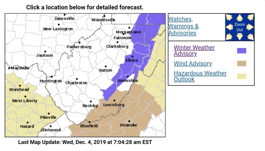
As we go through Friday this very light precip presses north. Some light freezing rain potential will exist into the northern Alleghenies, mainly the classic areas of north central Garrett and points north and east as we go into late Friday into the night. Overnight and prior to dawn Saturday, all areas except the deeper valleys east of the Alleghenies should rise above freezing. That’s when a period of steady rain looks to push in. Those deeper valleys need watched. This is not the same as the previous ice setup in this regard. This is coming in over a colder airmass, and that low level cold air likes to hang in those deep valleys.
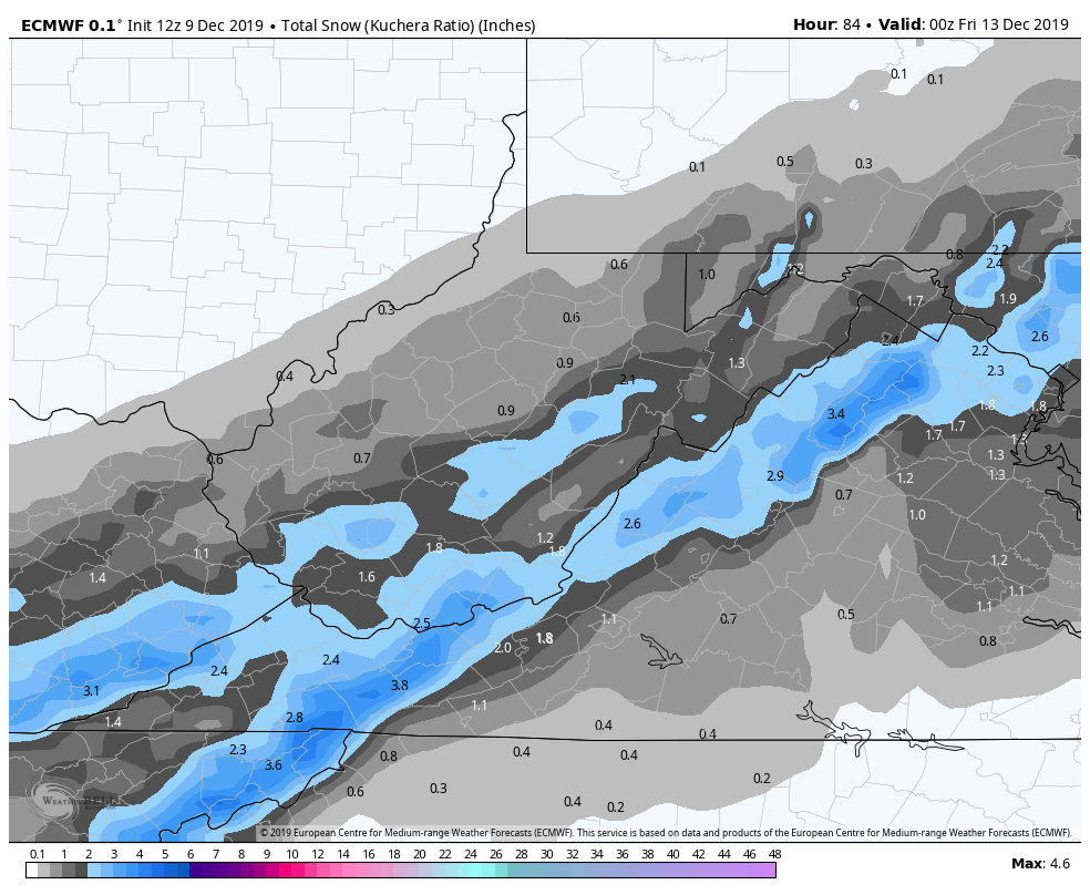
On Saturday morning, steady rain, and by late morning to early afternoon max temps f upper 30s, lower 40s will have been reached and slowly falling temps through the remainder of the day with rain transitioning to snowfall. Beginning first across the Wv high ground, with snow continuing into Sunday morning in a bit more of a classic upslope vs this recent rain to snow transition.
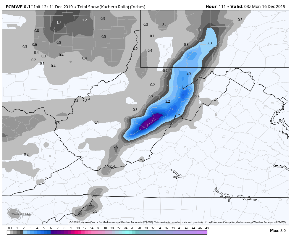
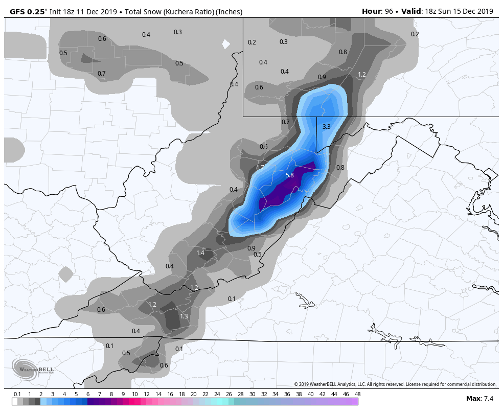
Accumulations look likely, with potential of several inches in favored upslope areas.
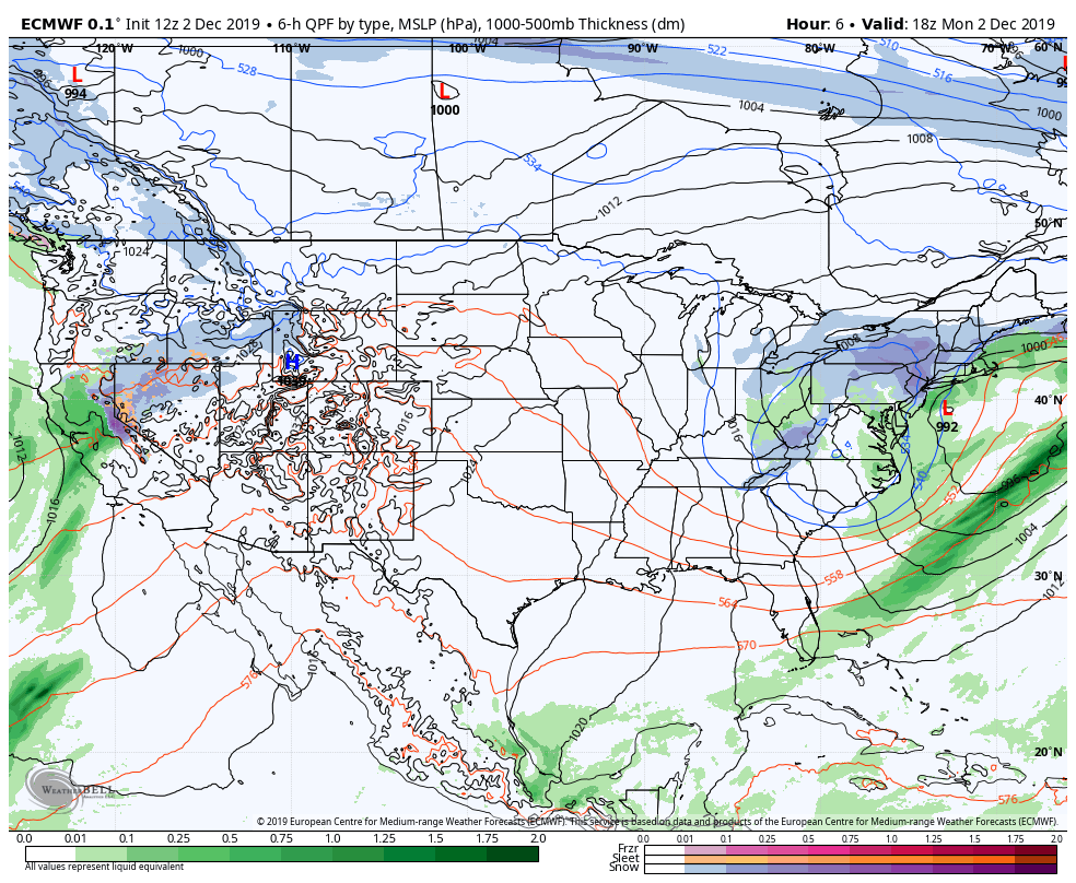
Friday temps into the weekend off the 3km Nam, and the ICON model with windstream. The ICON handles these situations well, but the 3km Nam being king. That said, it’s likely a tad too cold. Beginning with a zoomed in look at Garrett and then expanded back with another look at the 3km Nam, with the ICON last
A look at the precip type off the 3km Nam(precip amount a weakness of the model)
Precip type of the 18z GFS, which is a larger grid than the high res Nam.
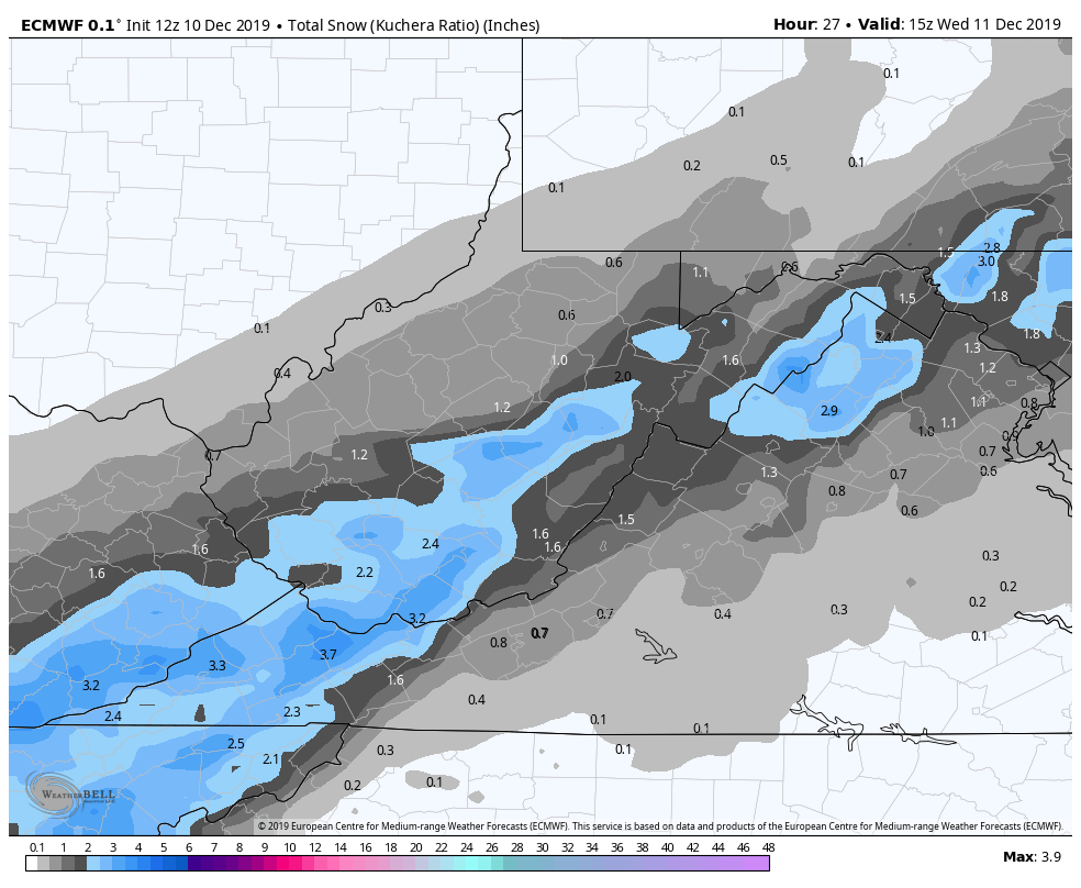
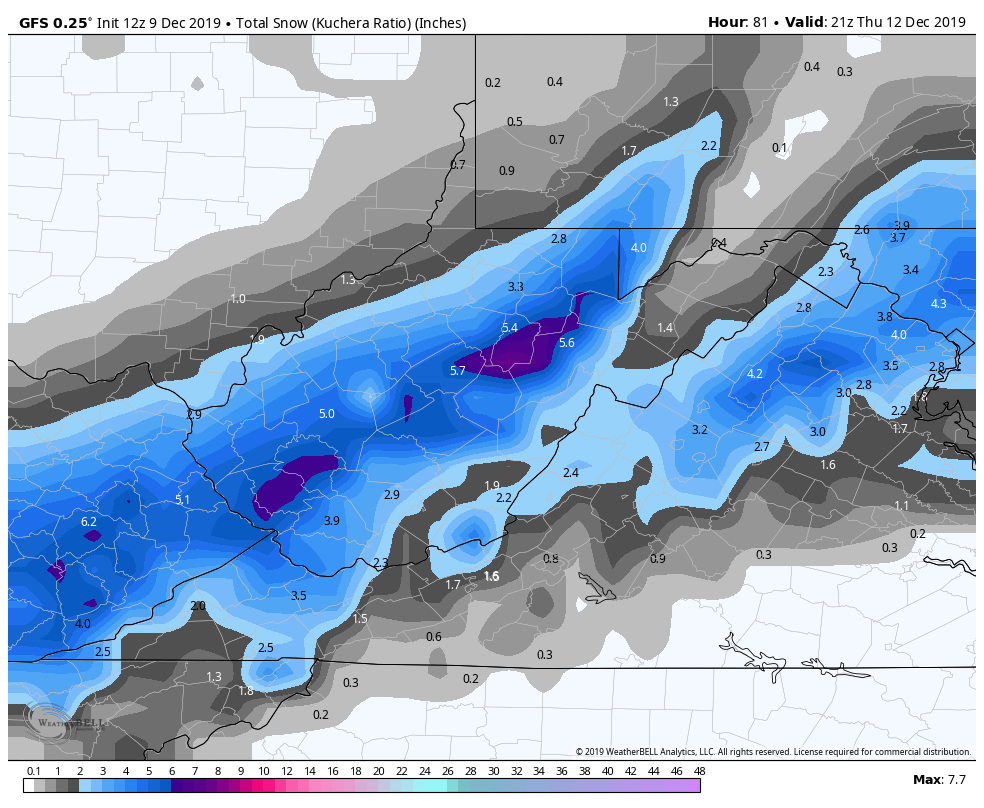
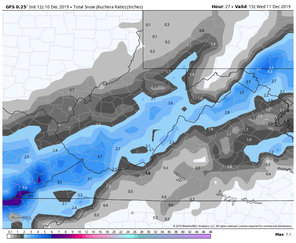
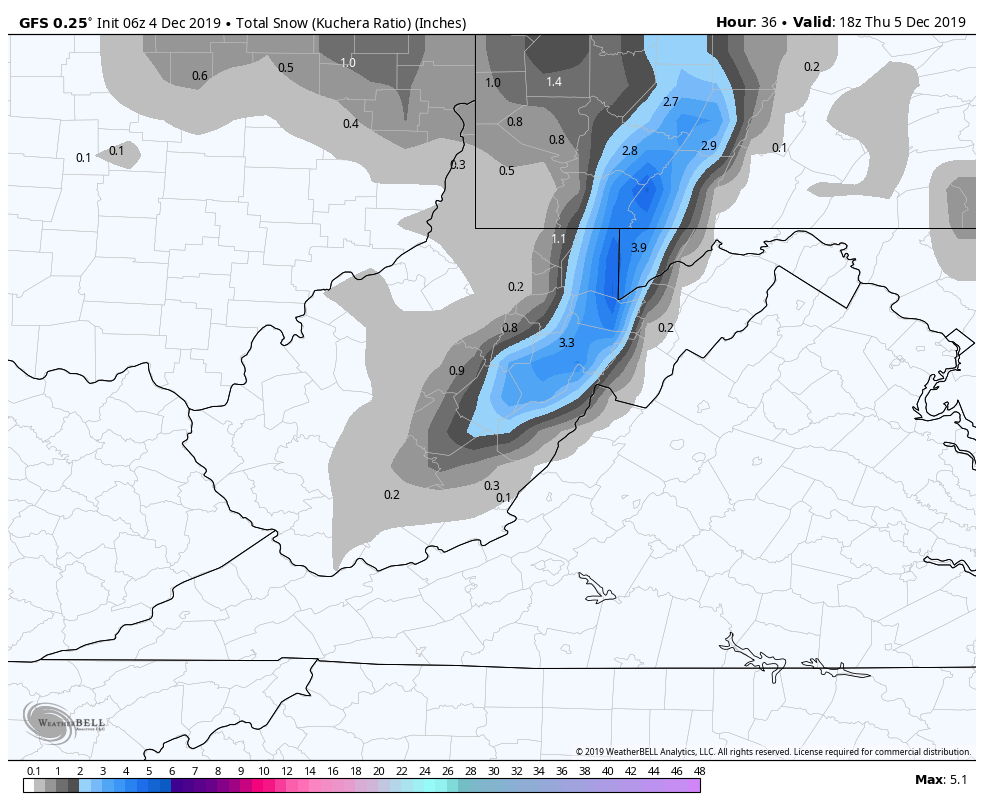
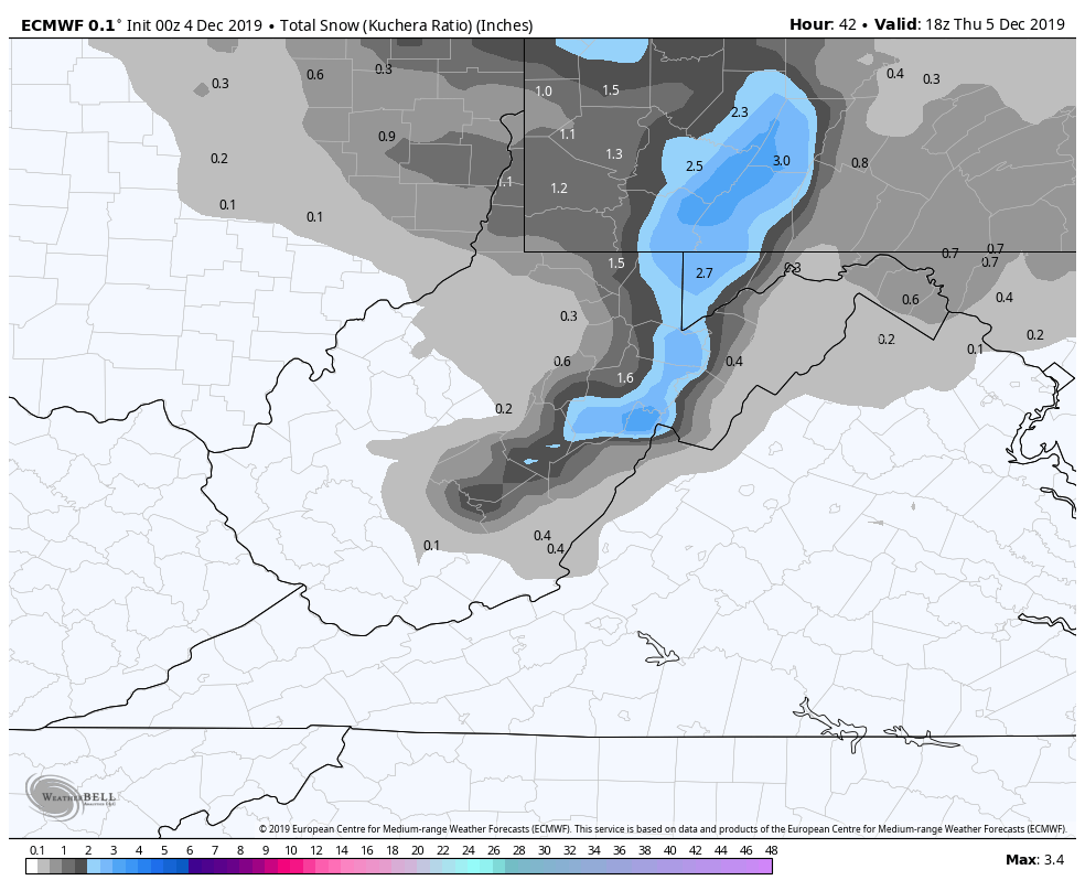
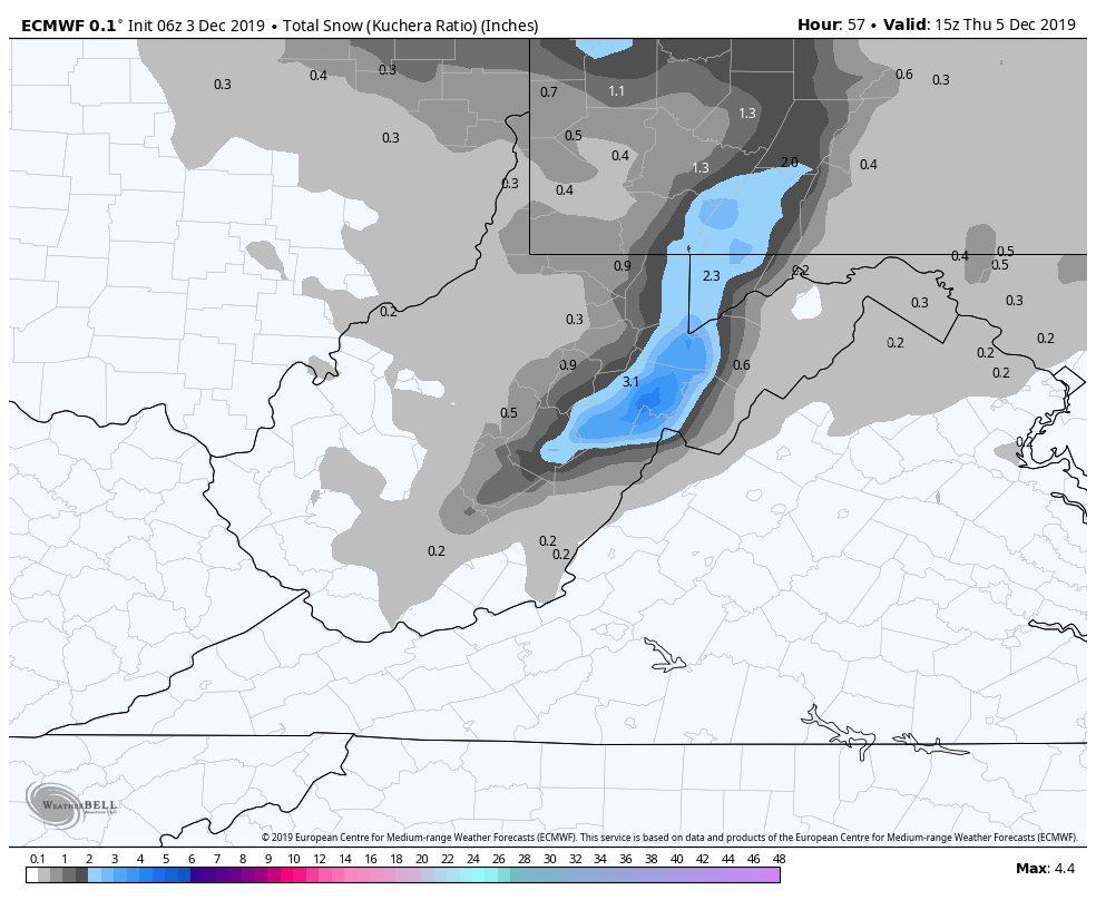
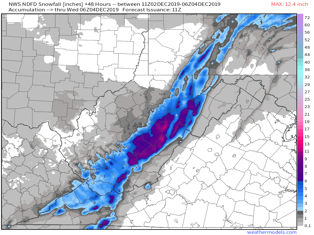
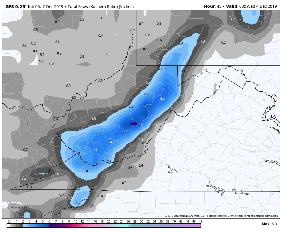
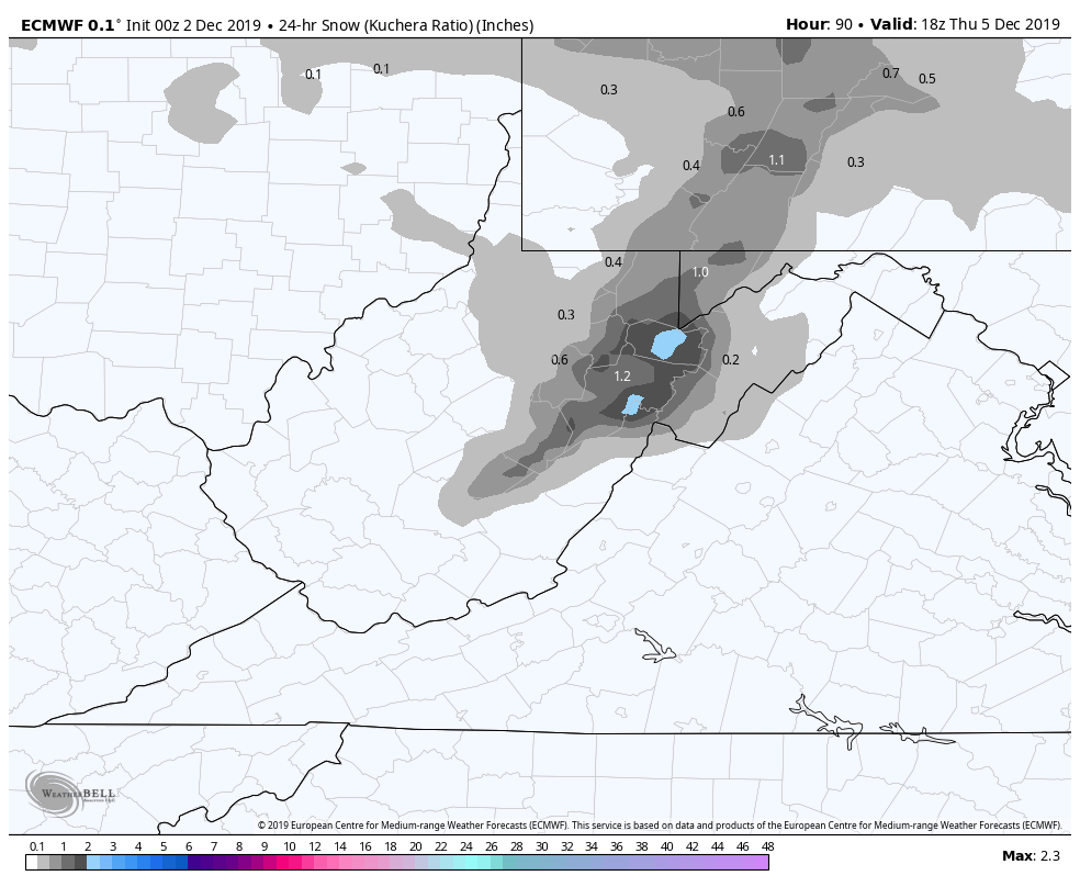
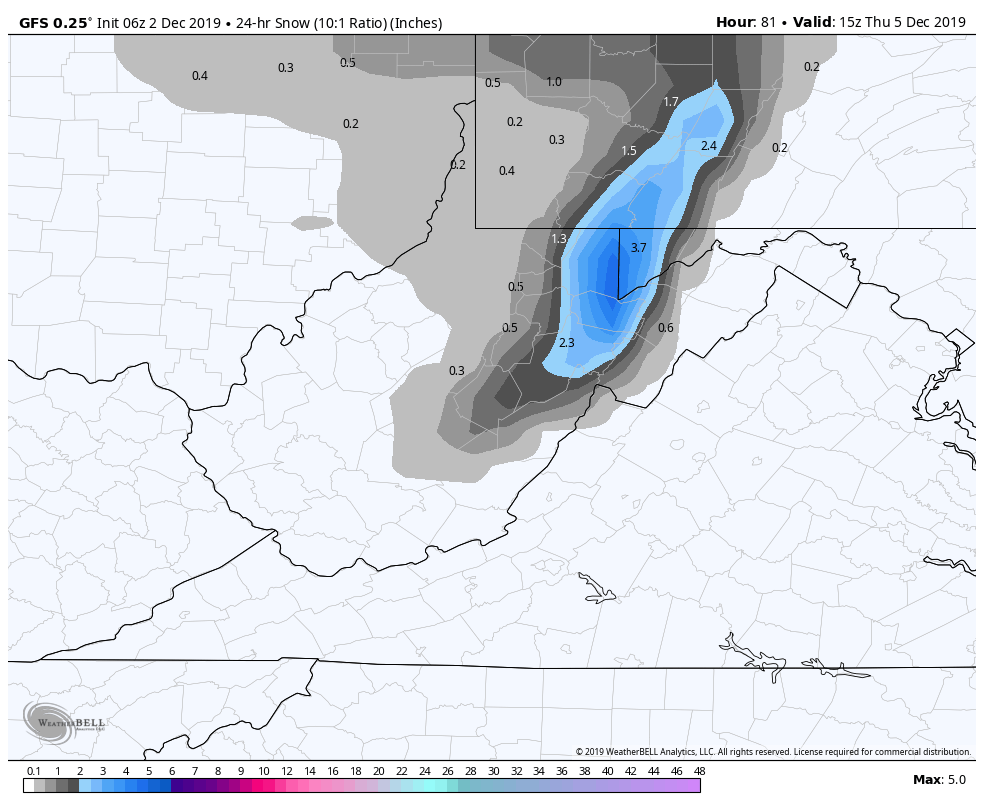
Snowfall amounts Saturday night into Sunday off the 12z ECMWF and 18z GFS