December 1, 2019
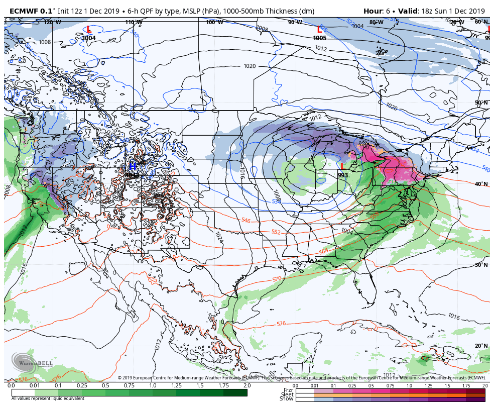
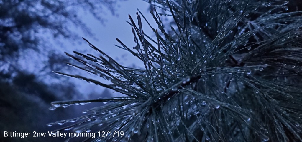
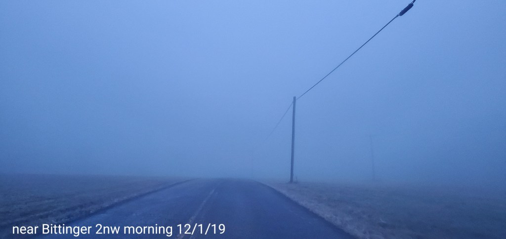
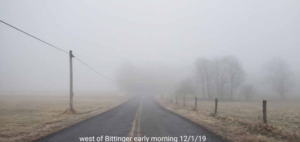
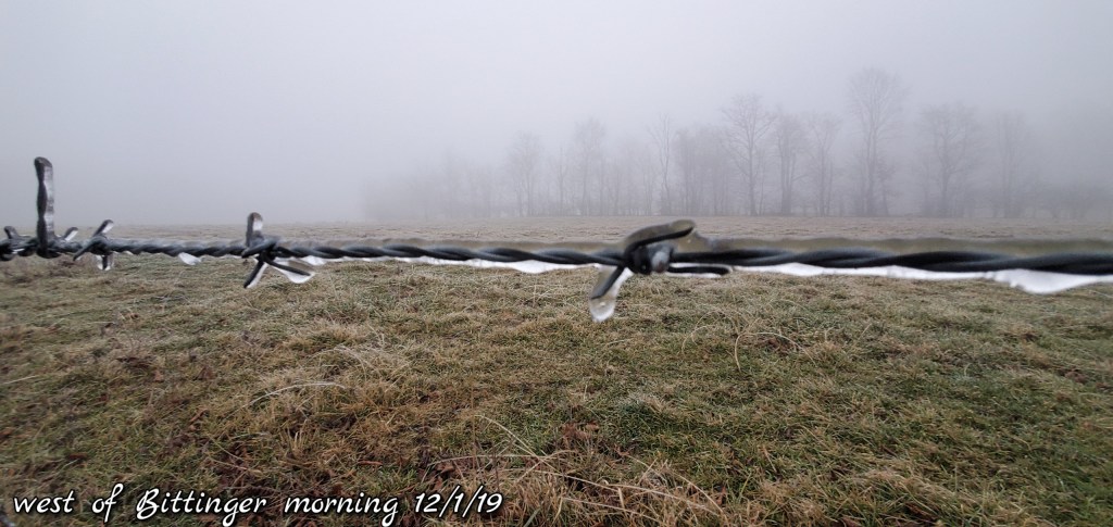
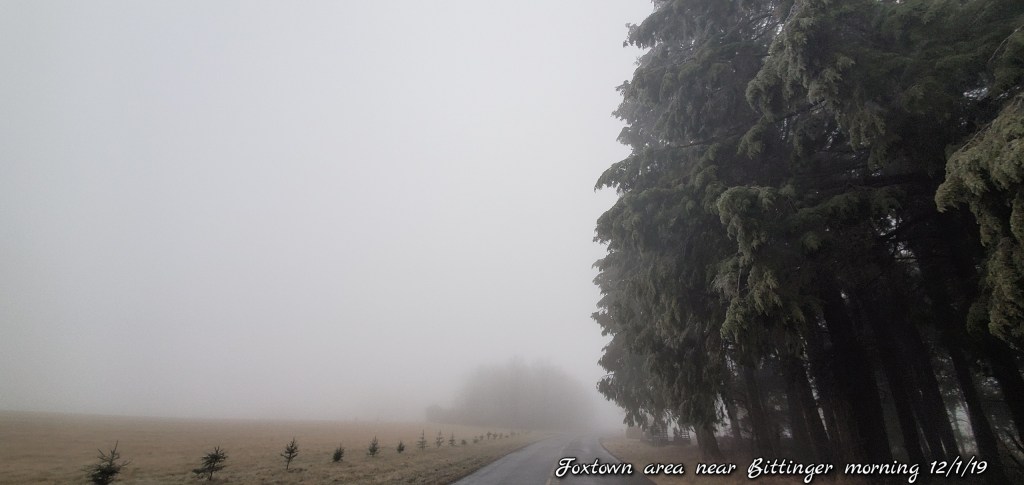
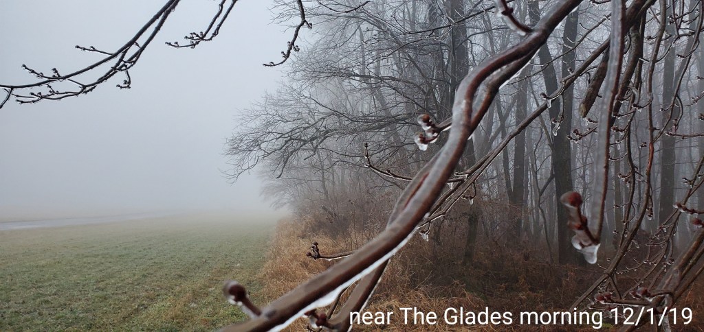
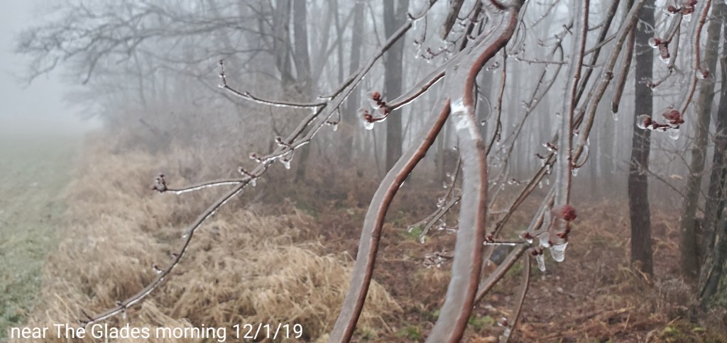
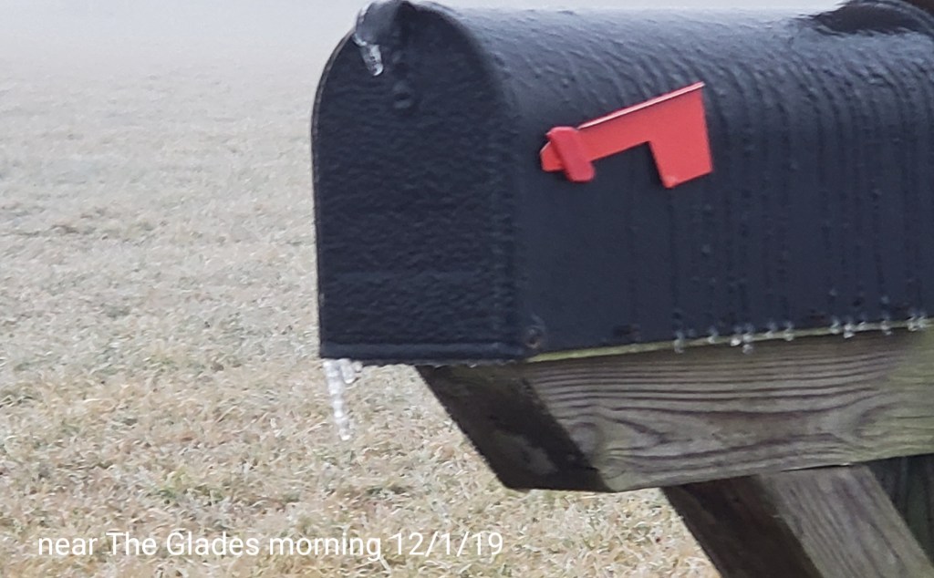
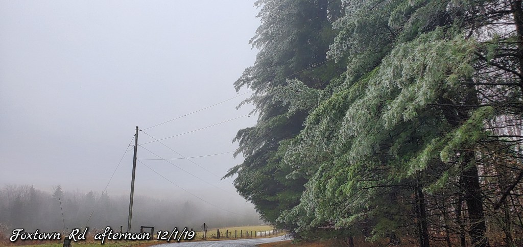
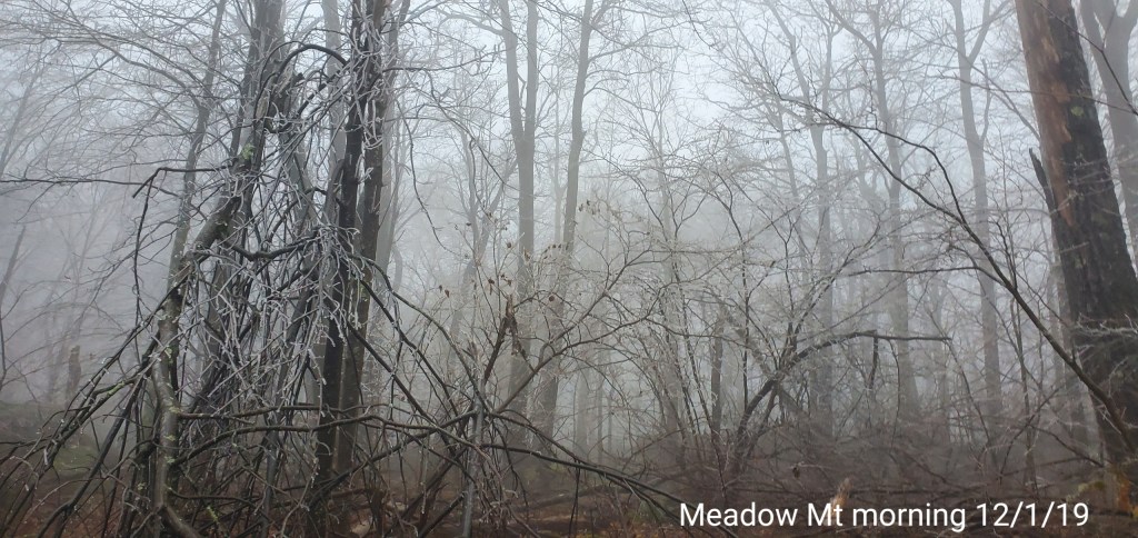
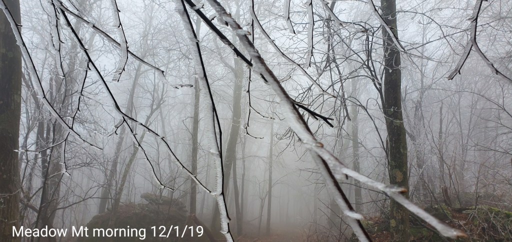
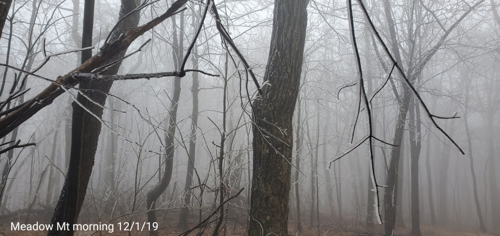
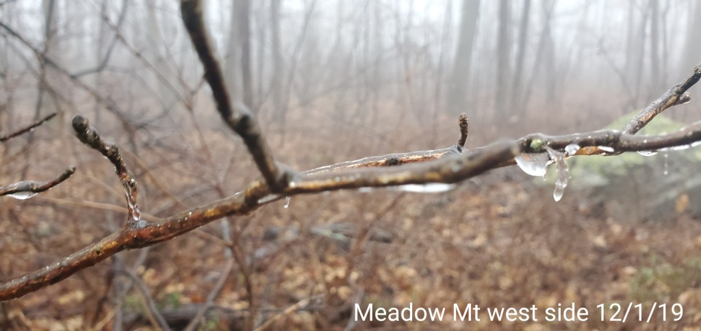
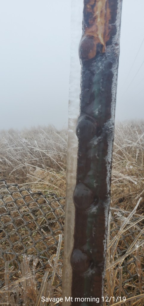
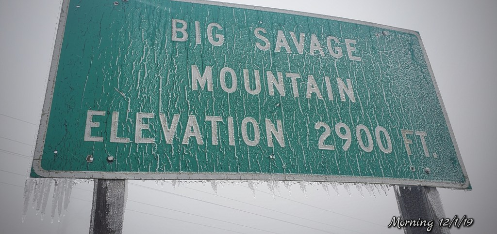
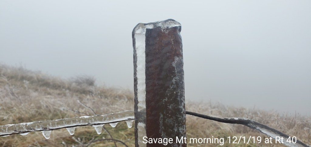
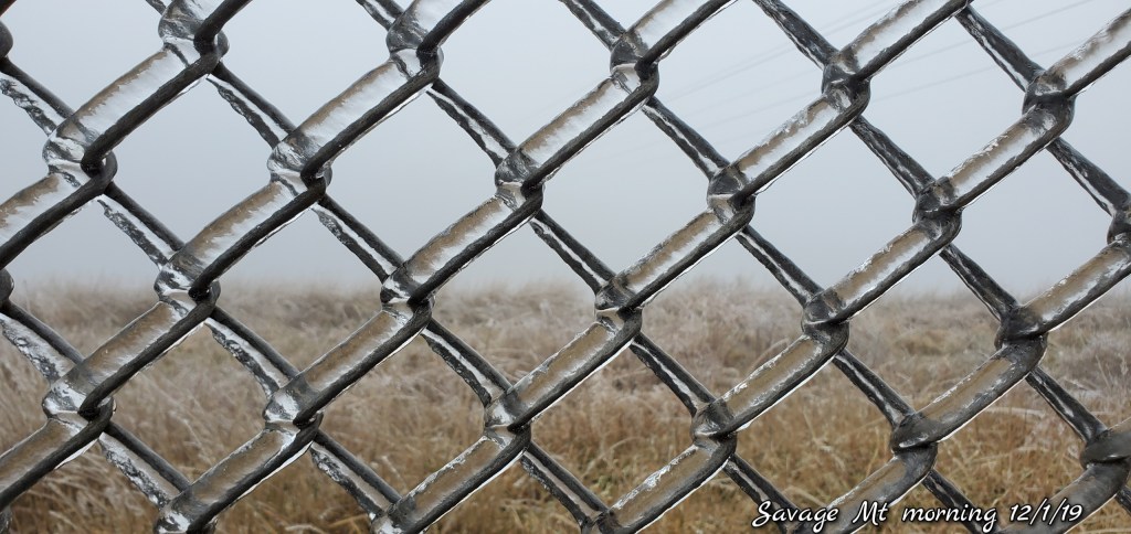
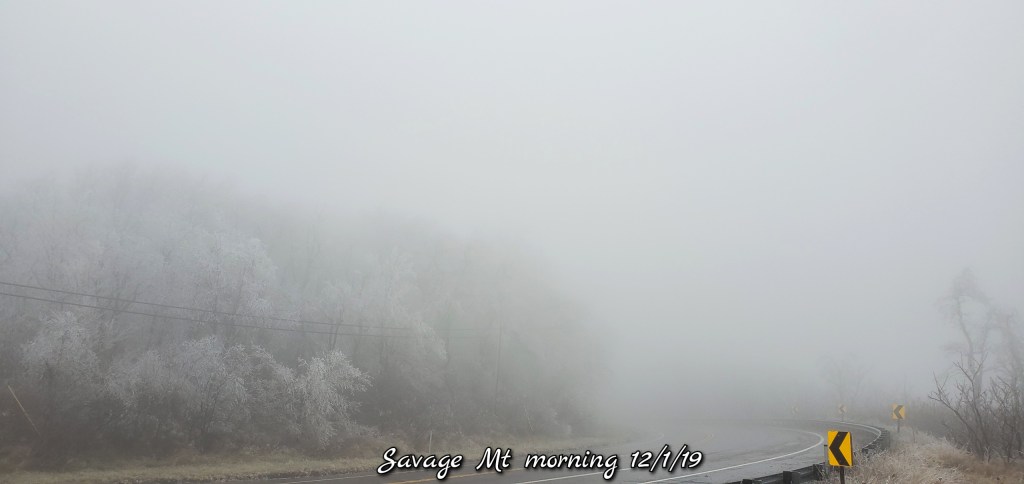
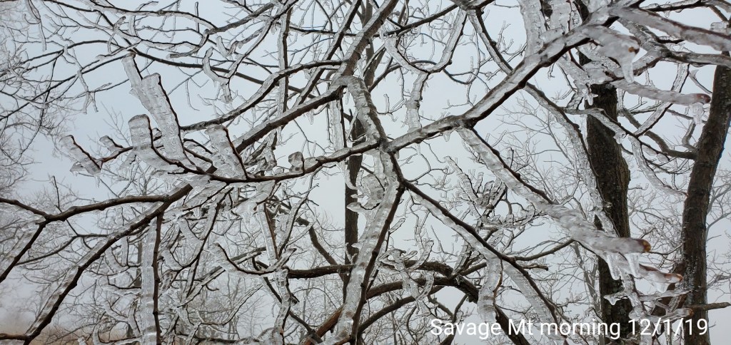
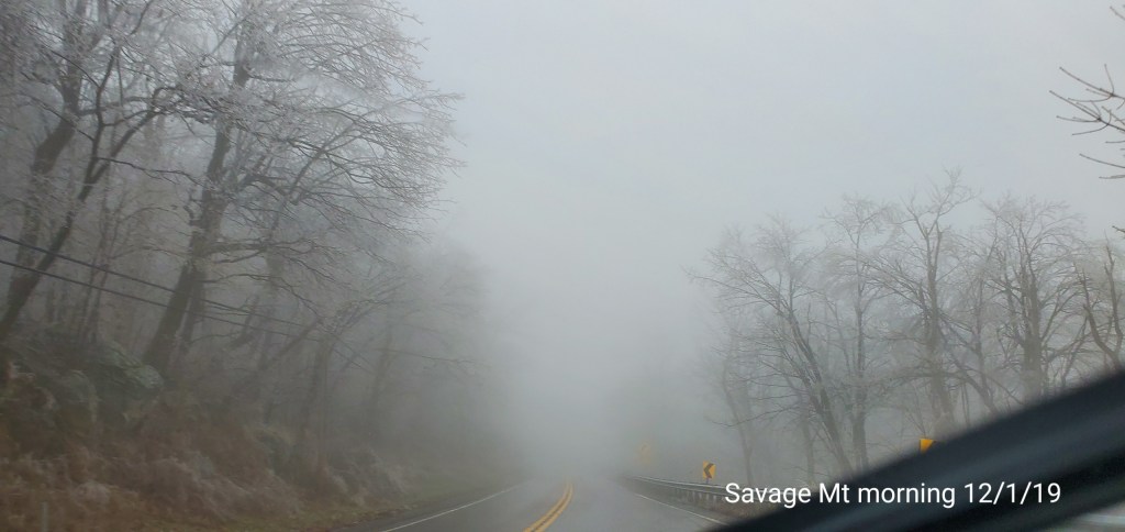
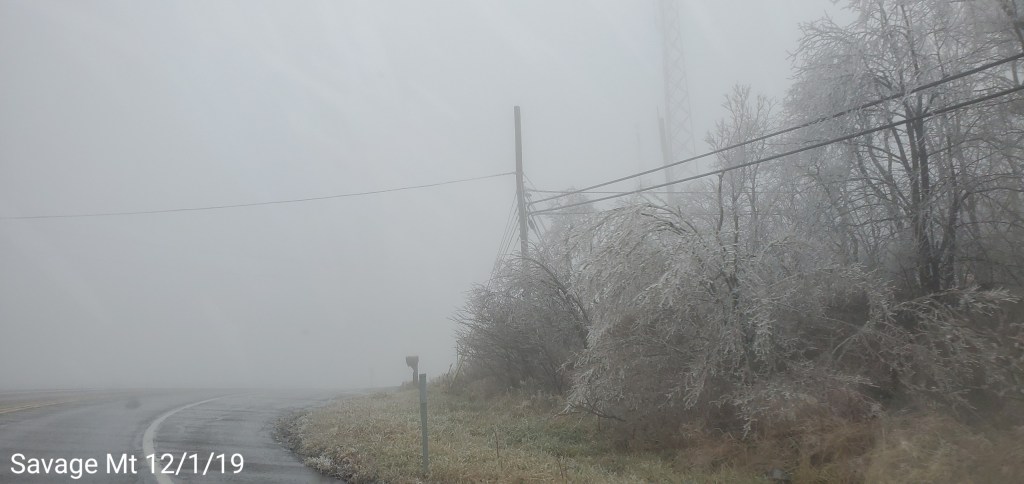
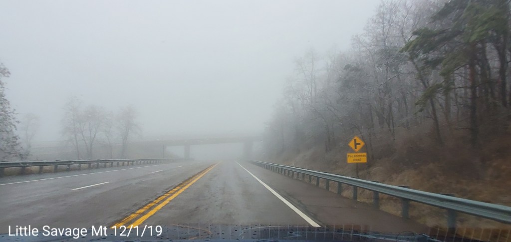
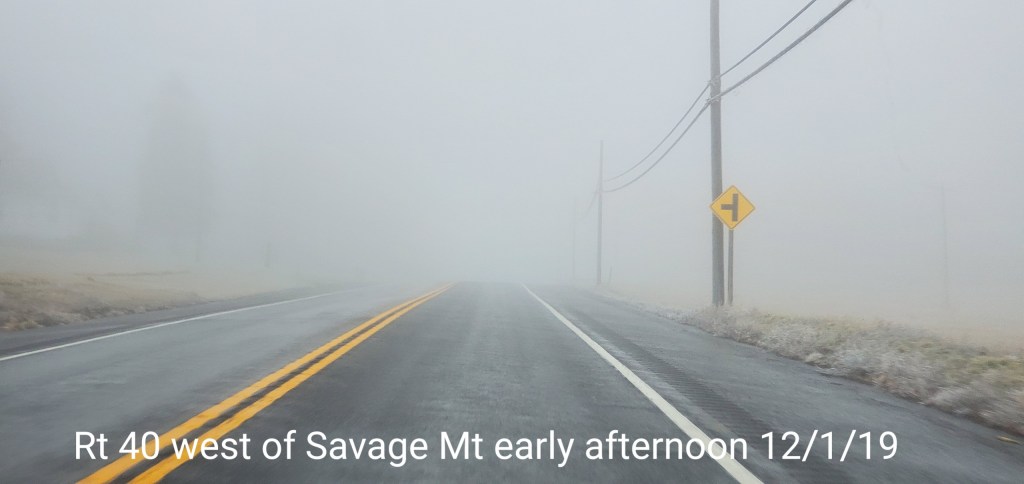
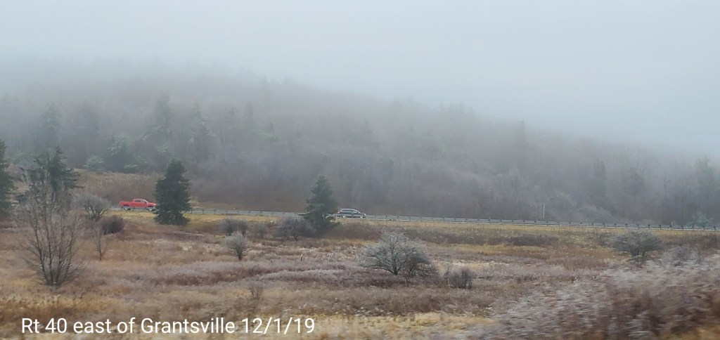
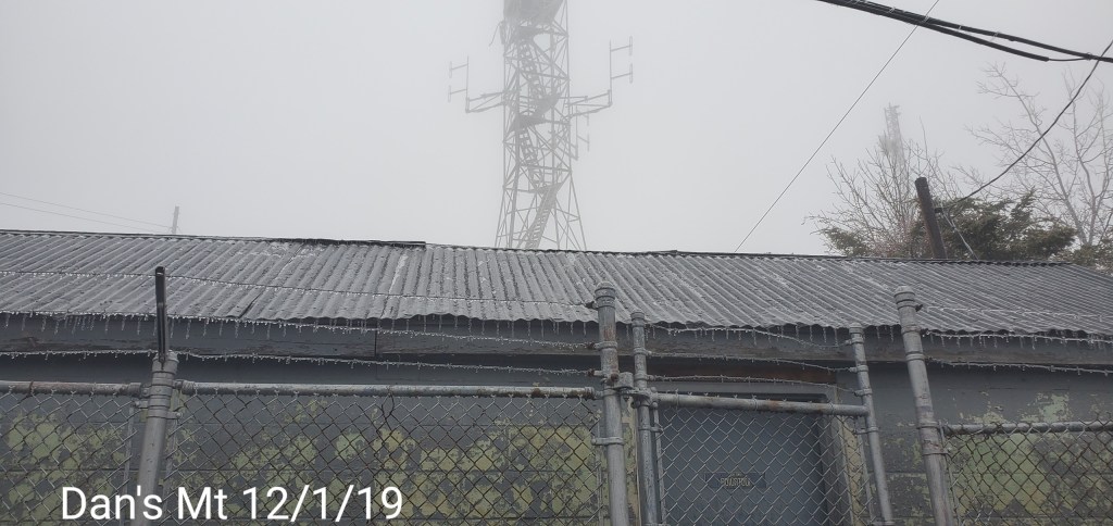
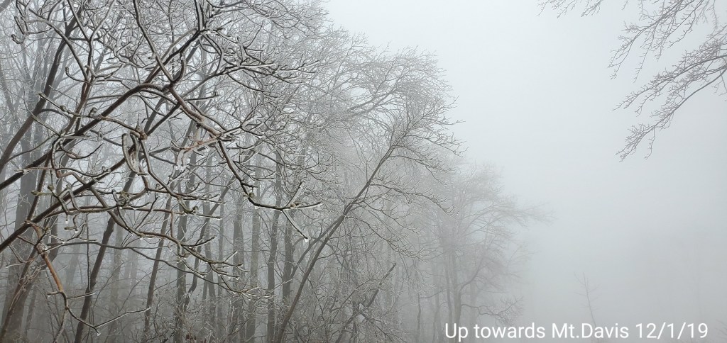
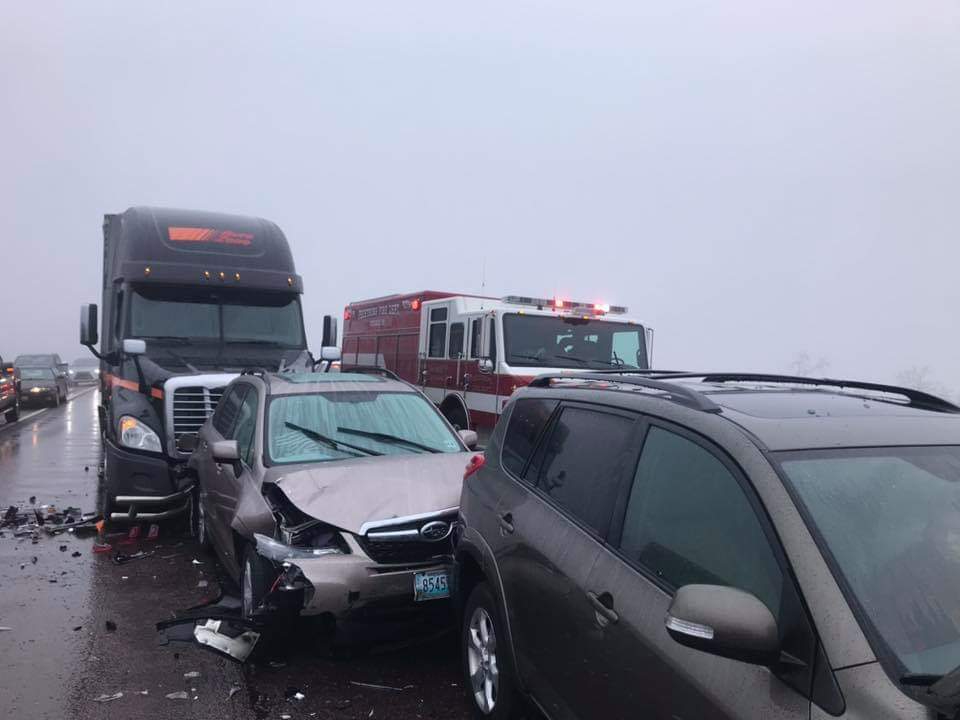
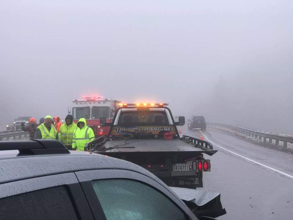
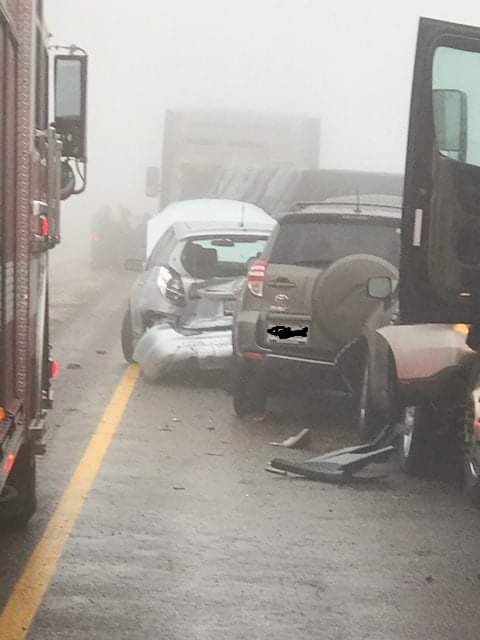
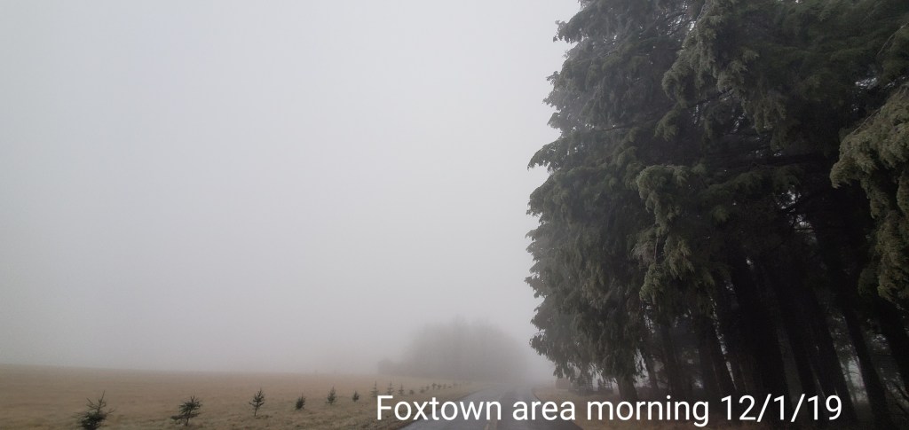
A icy start, and that ice lingered into the afternoon. In some locations in those classic areas, it held the entire day. West areas saw rain. After nightfall some thunder, lightning, soft hail, graupel, wet snow. Dense fog across Savage Mt with a large wreck today.
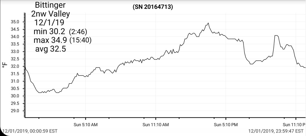
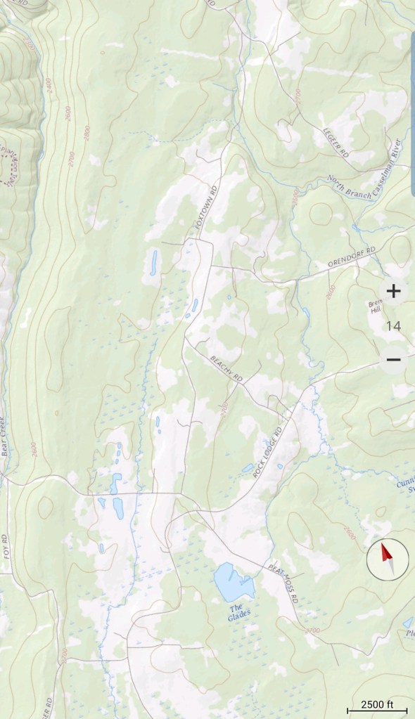
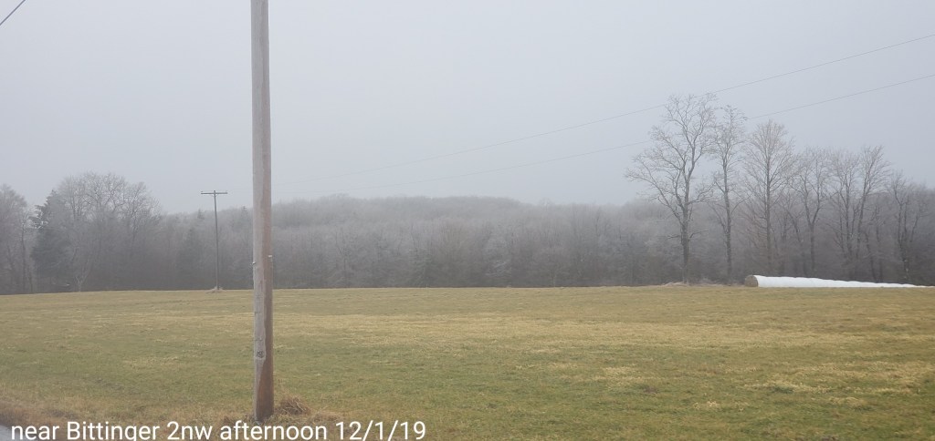
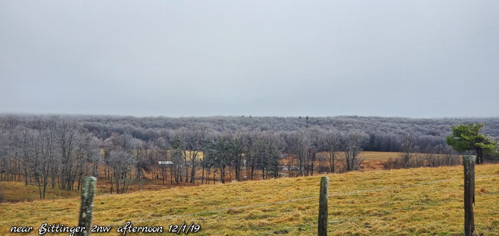
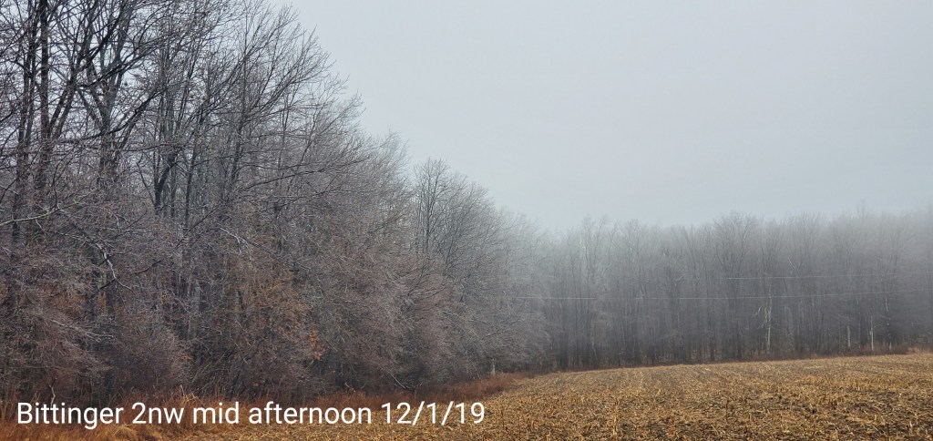
Bittinger 2nw Valley
MIN[30.2]—MAX[34.9]—AVG[32.5]—PRECIP[.11]7am
Snowfall season to date 5.3″
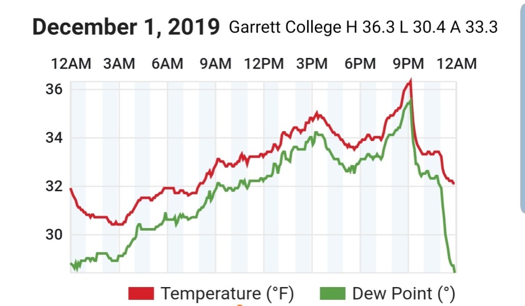
Garrett College
MIN[30.4]—MAX[36.3]—AVG[33.3]—PRECIP[.49]
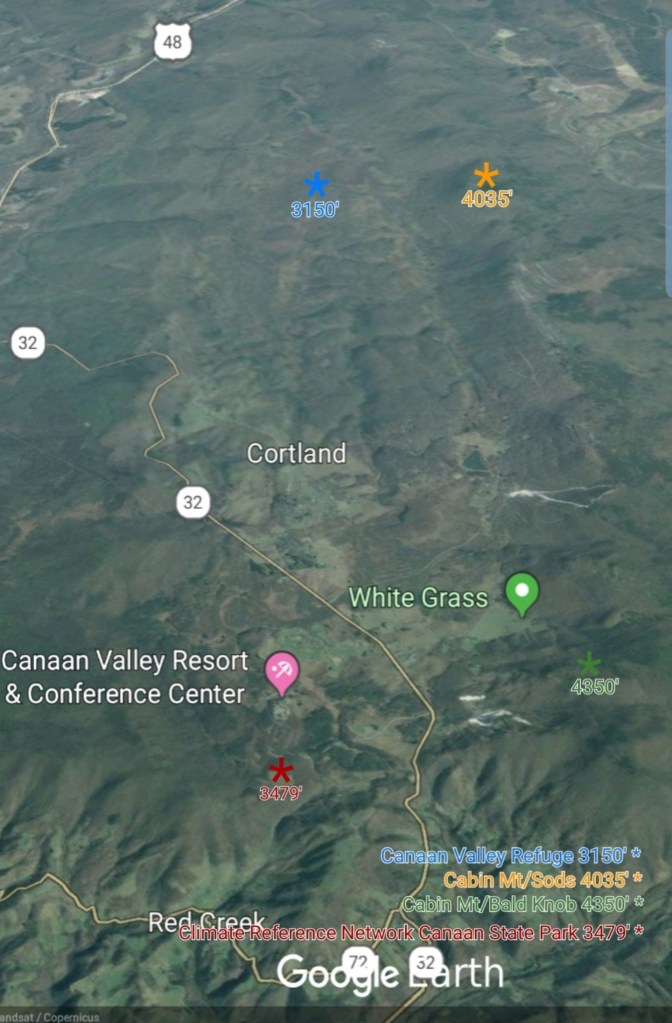
Canaan Heights/Davis 3SE
MIN[28.5]—MAX[46.3]—AVG[34.8]—PRECIP[.15]7am
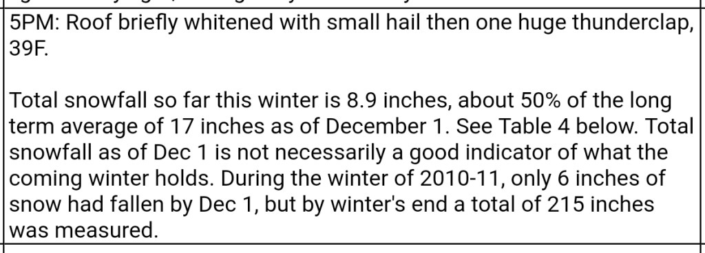
Snowfall season to date 8.9″
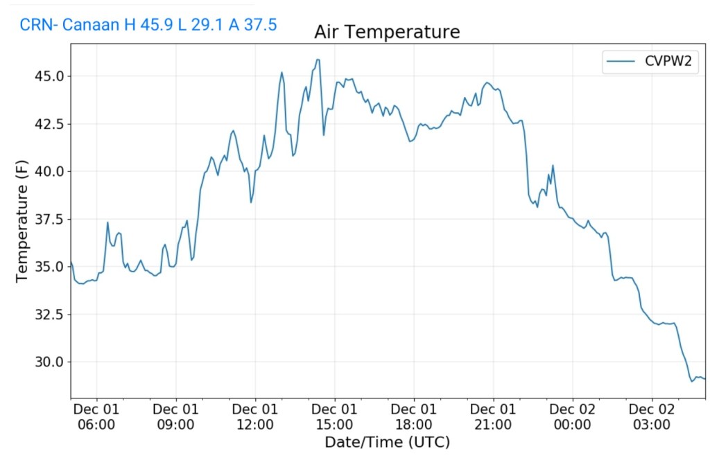
CRN-Canaan
MIN[29.1]—MAX[45.9]—AVG[37.5]—PRECIP[.56]
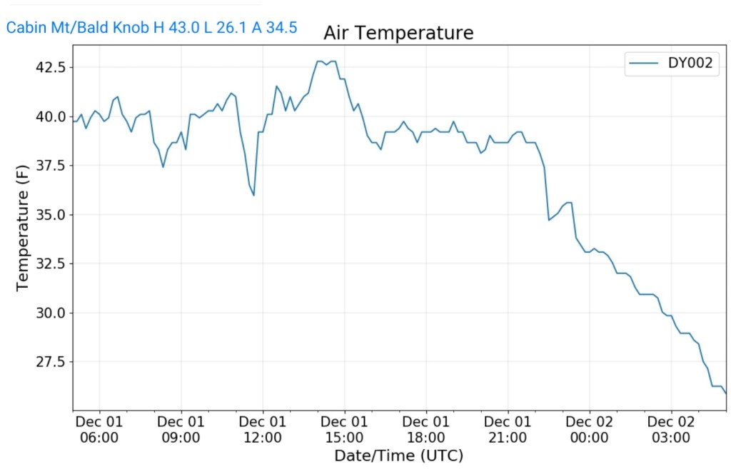
Cabin Mt at Bald Knob
MIN[26.1]—MAX[43.0]—AVG[34.5]—PRECIP[.49]
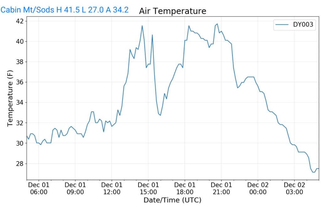
Cabin Mt-Western Sods
MIN[27.0]—MAX[41.5]—AVG[34.2]—PRECIP[.55]
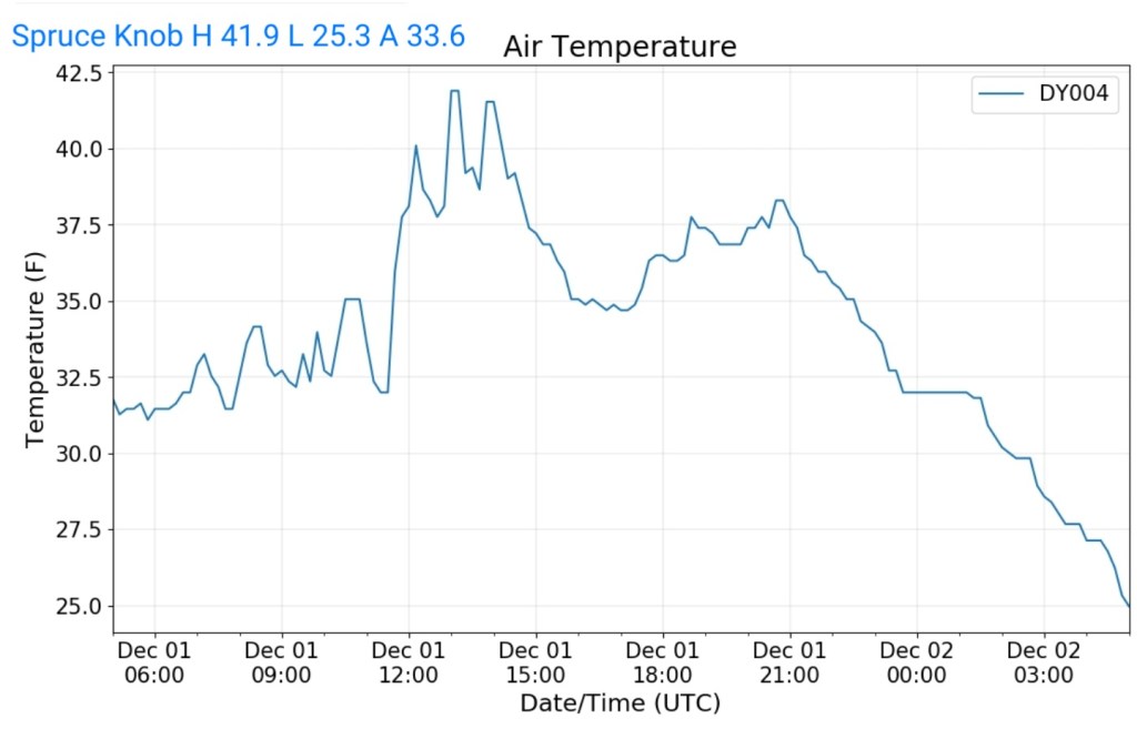
Spruce Knob
MIN[25.3]—MAX[41.9]—AVG[33.6]—PRECIP[.32]
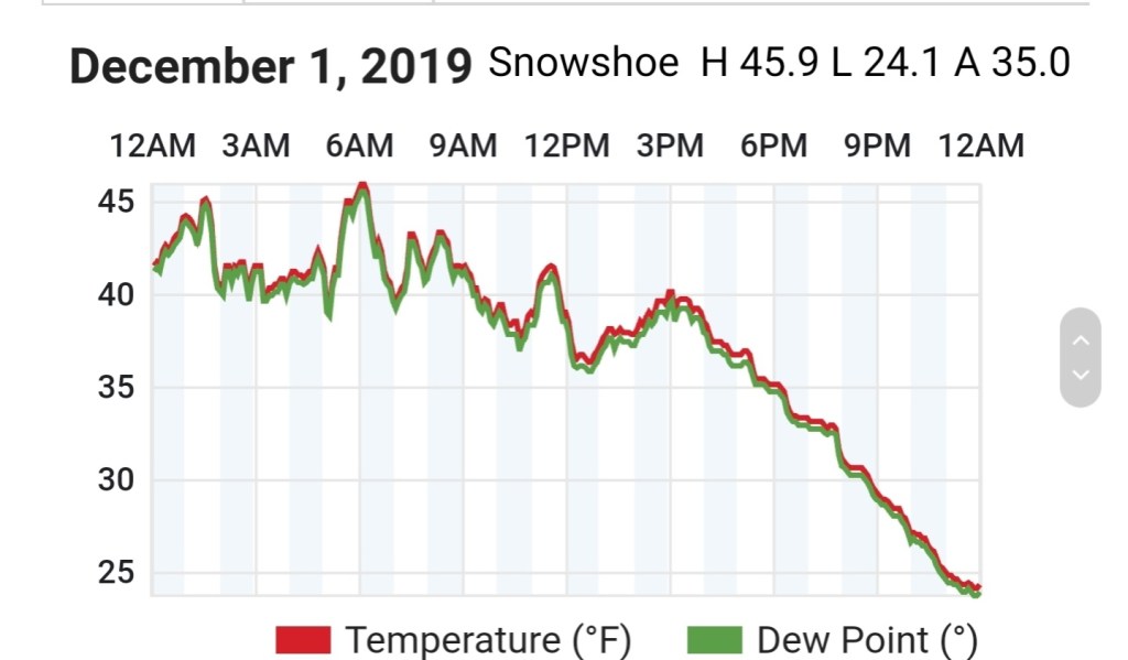
Snowshoe
MIN[24.1]—MAX[45.9]—AVG[35.0]
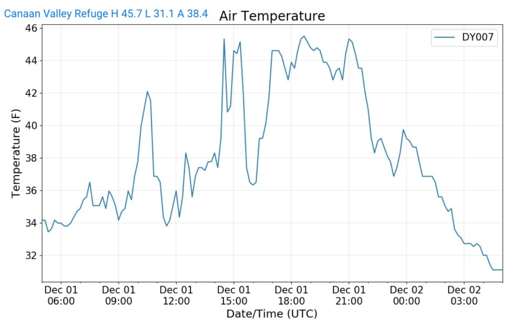
Canaan Valley Refuge
MIN[31.1]—MAX[45.7]—AVG[38.4]
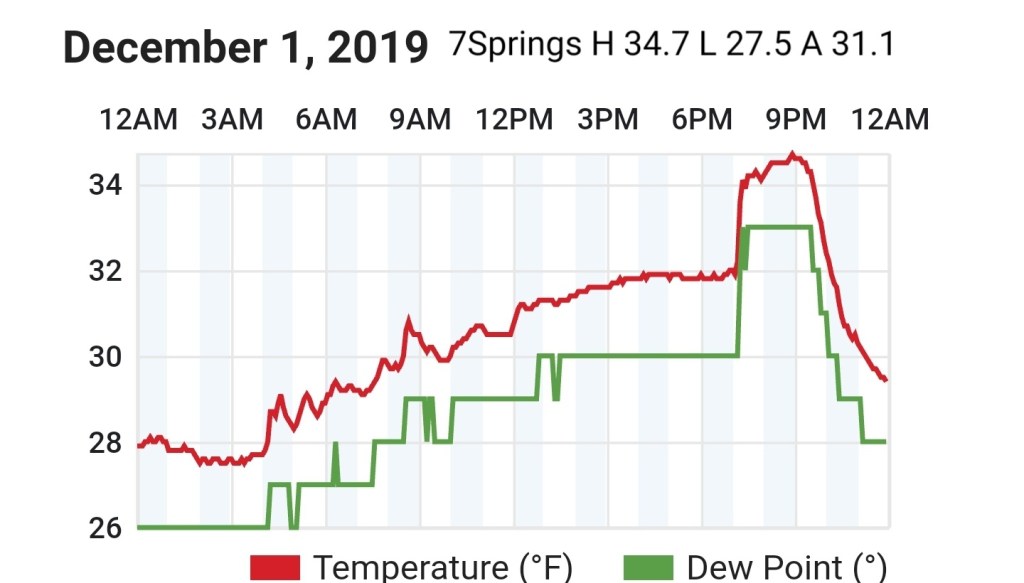
7Springs
MIN[27.5]—MAX[34.7]—AVG[31.1]
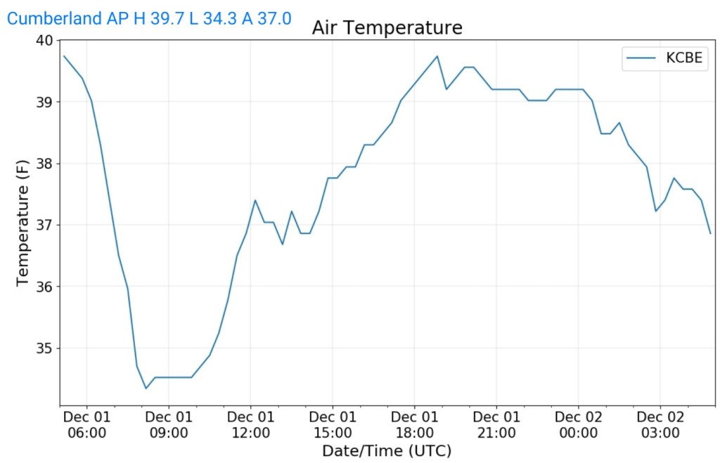
Cumberland Airport
MIN[34.3]—MAX[39.7]—AVG[37.0]
The Valley vs Cabin Mt

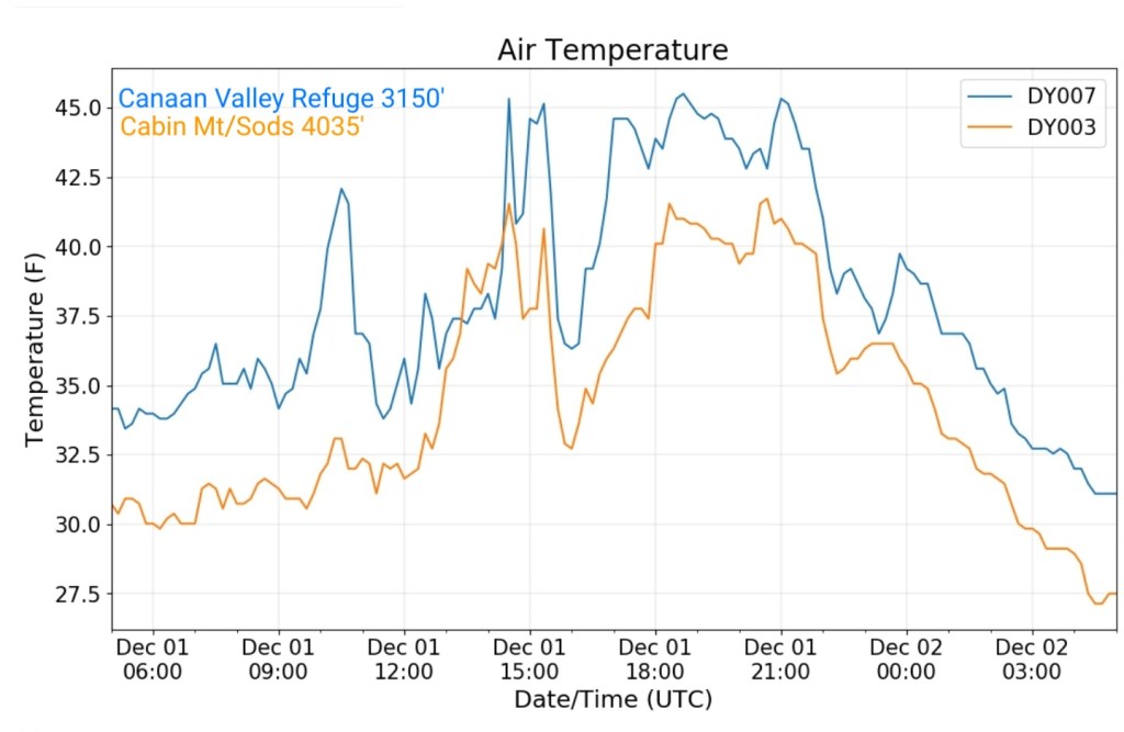
Canaan area temps
Comparison view

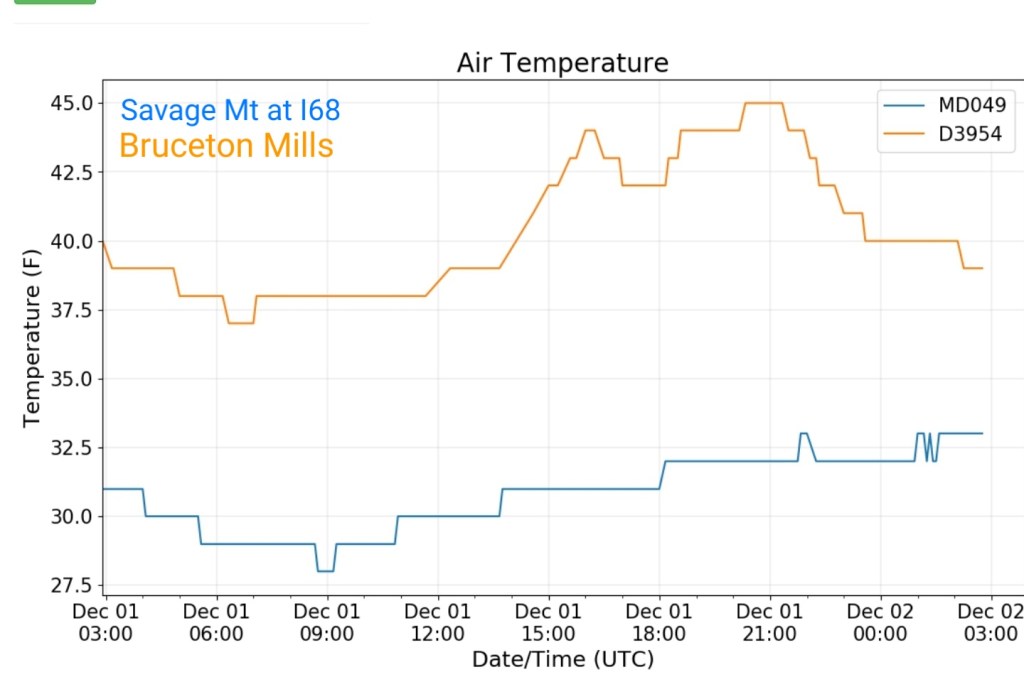
Savage Mt vs Bruceton Mills
RTMA
Radar
Satellite
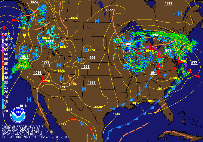
Flow
Surface features and 500mb height anomalies and flow

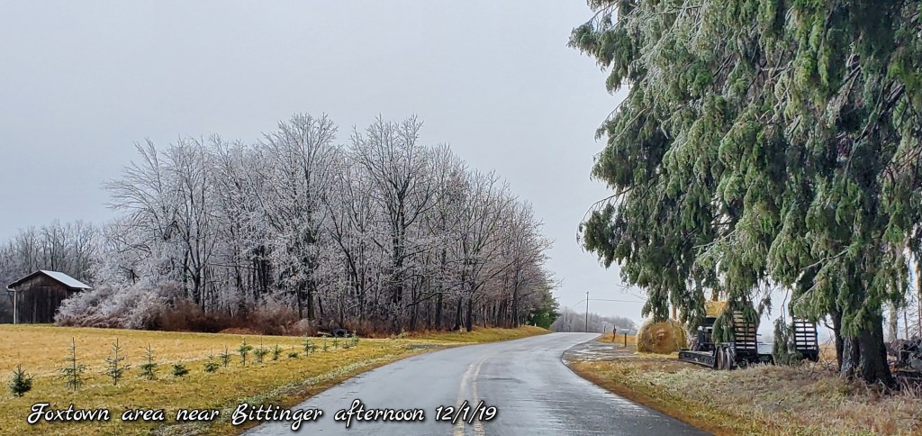
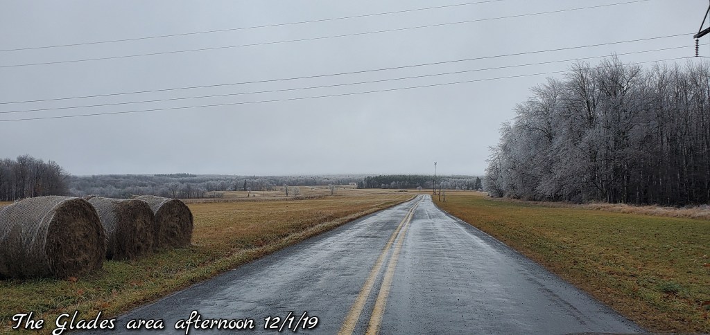
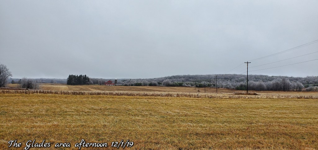
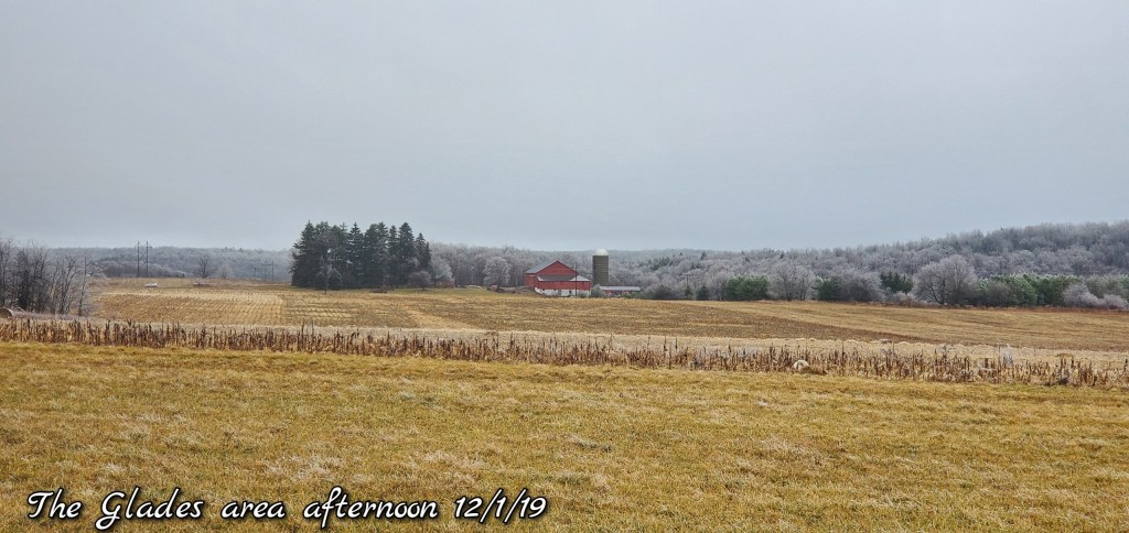
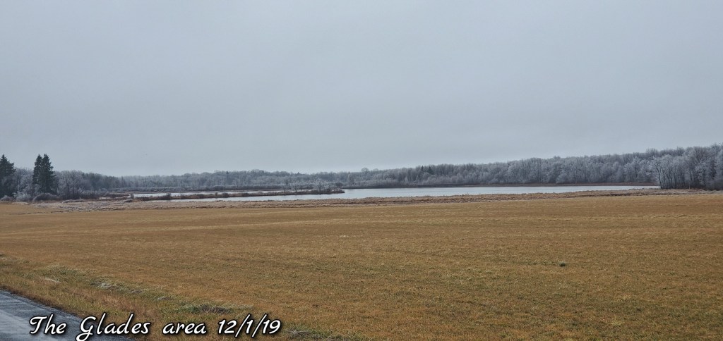
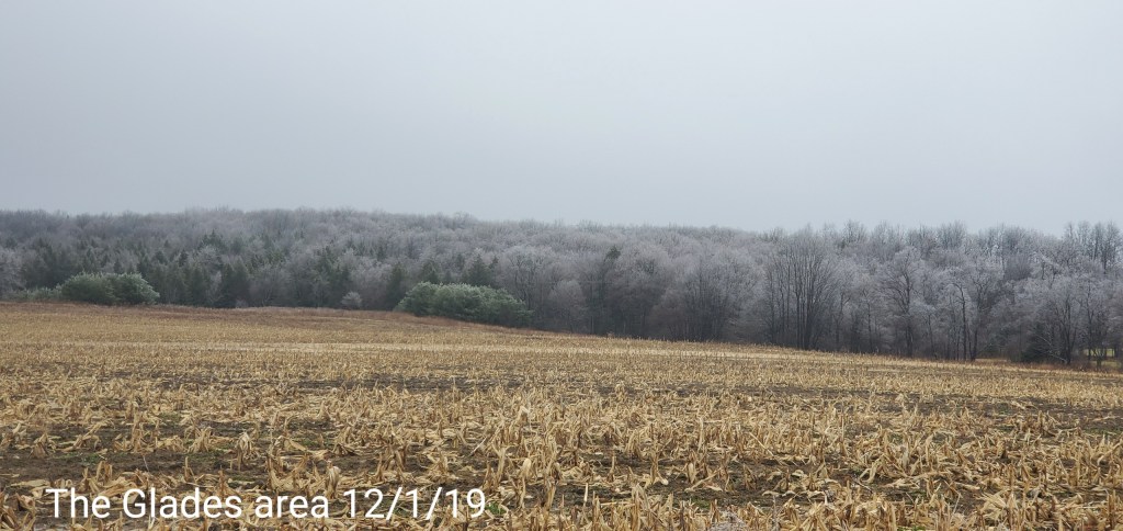
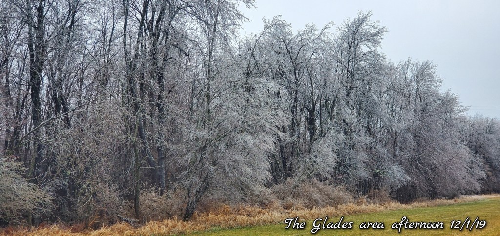
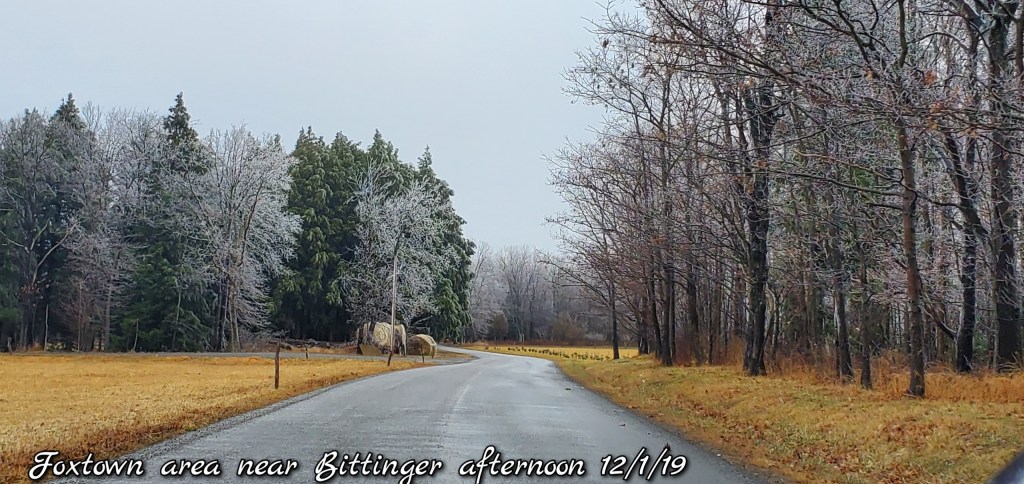
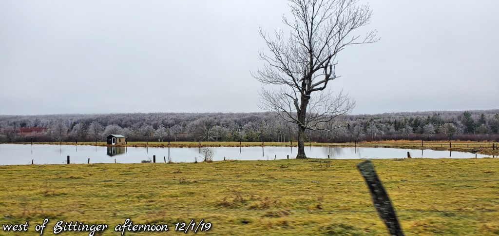
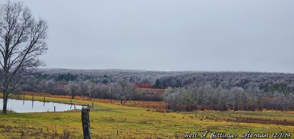
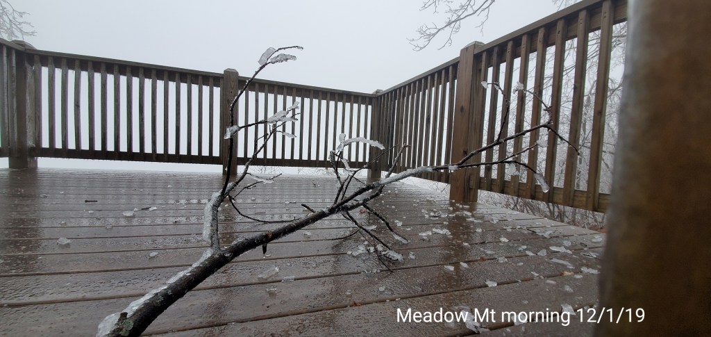
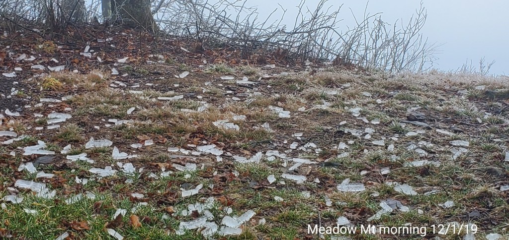
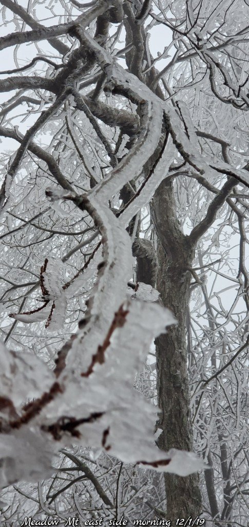
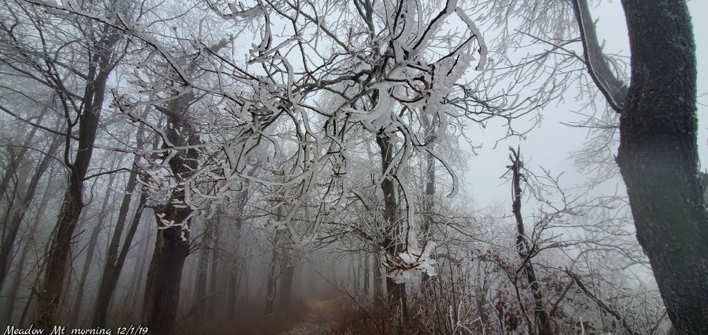
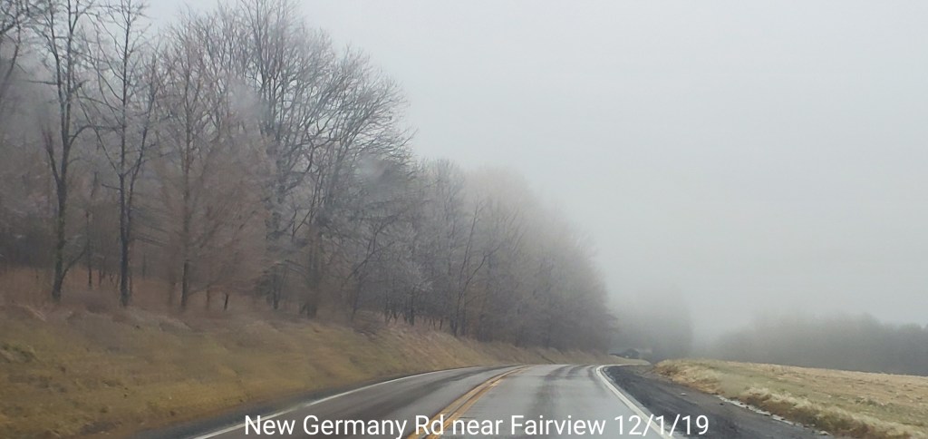
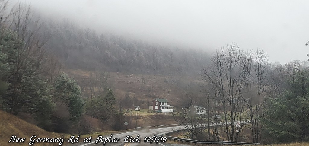
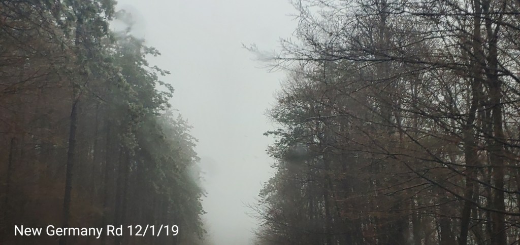
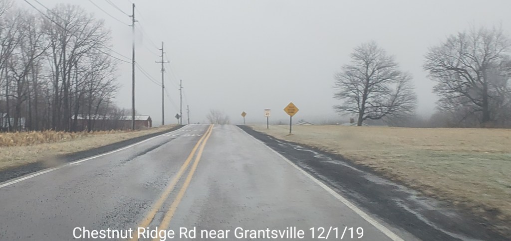
pics today-
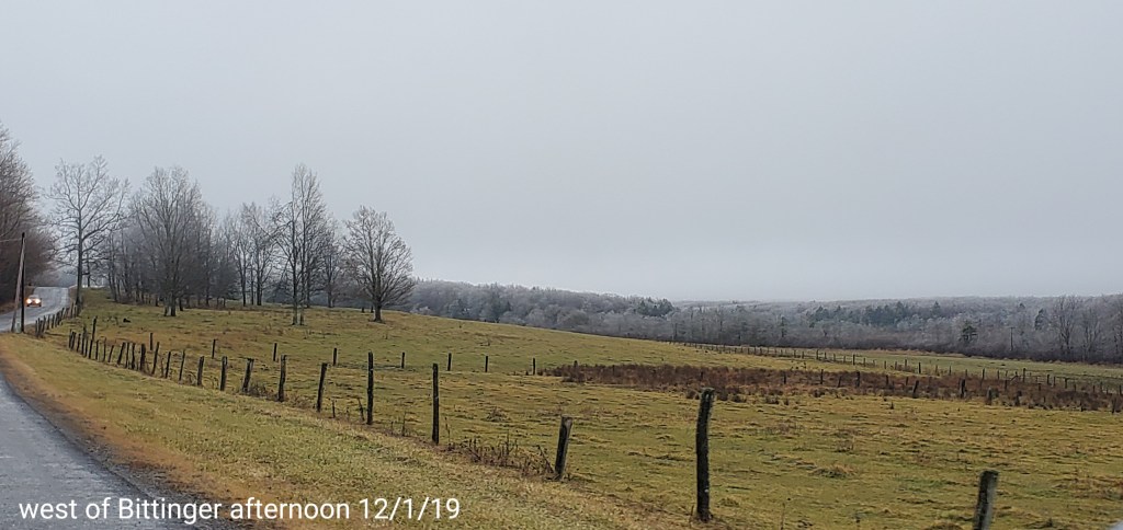
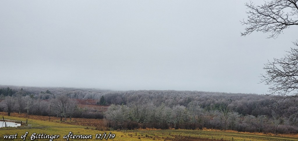
The Bittinger area


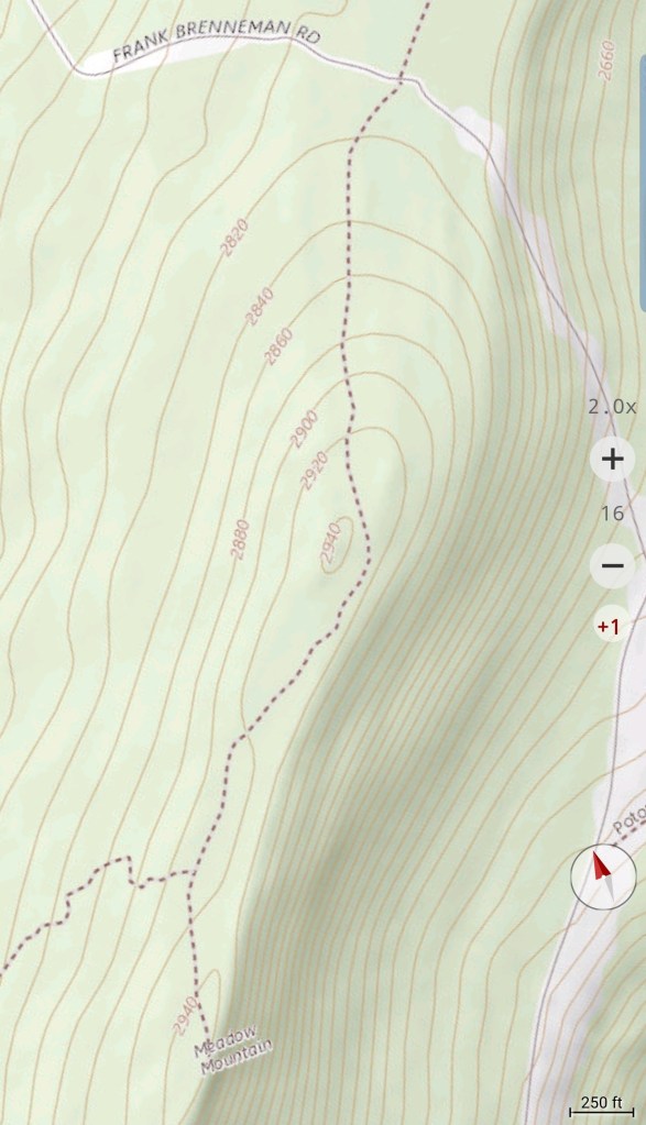
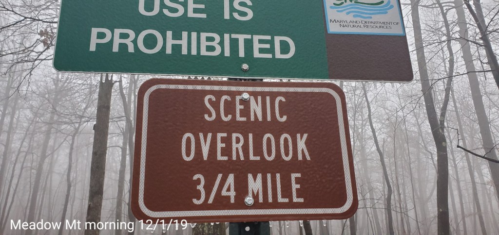
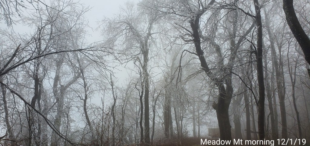
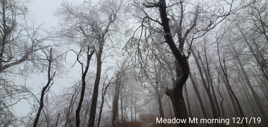
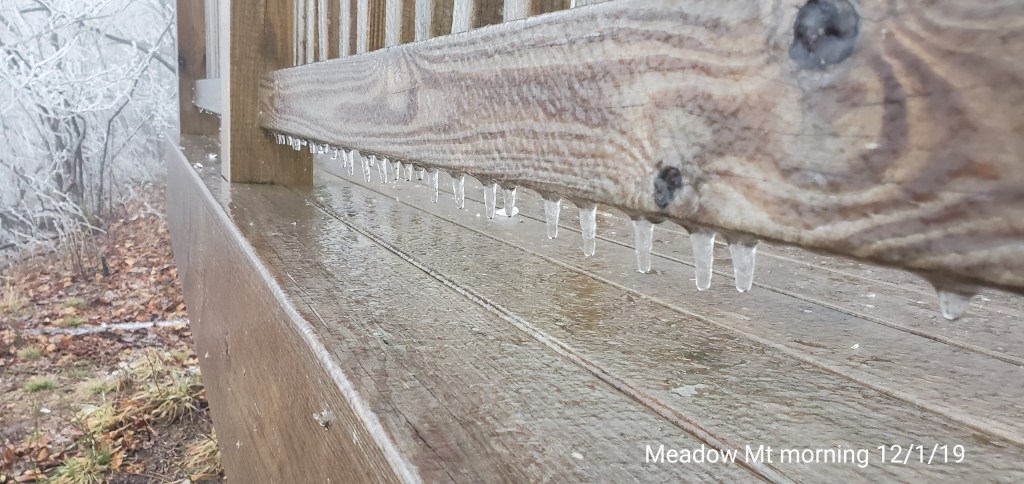
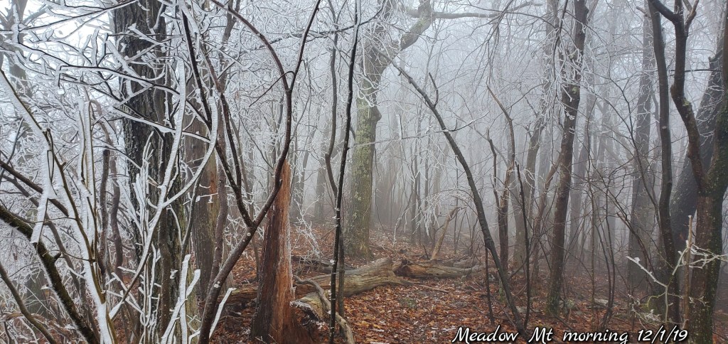
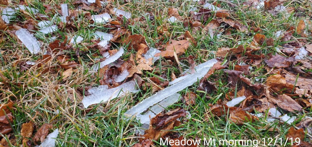
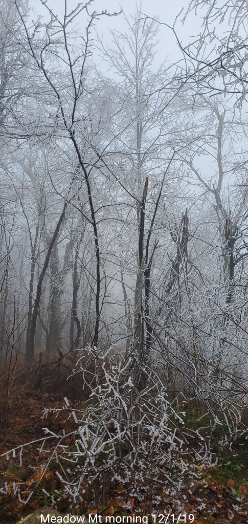
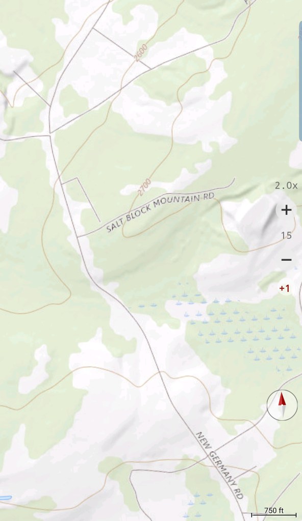
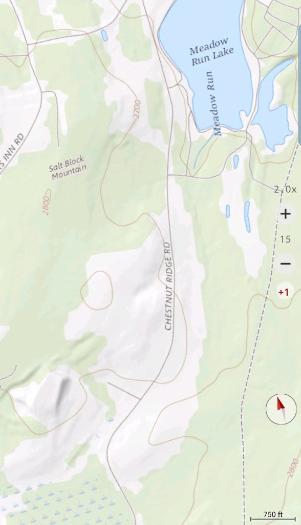
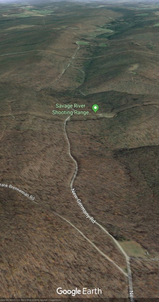
Meadow Mt- trail to the old fire tower off the Frank Brenneman Rd


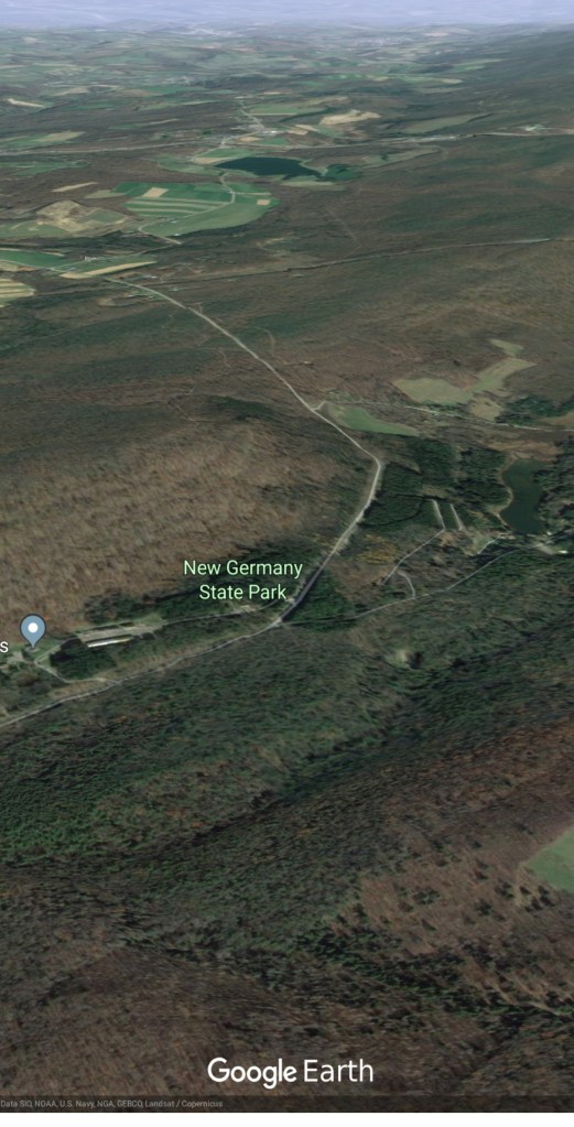
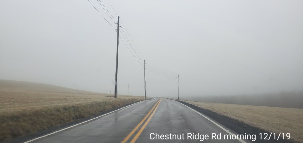
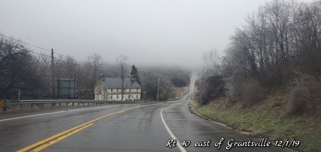
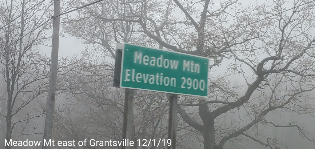
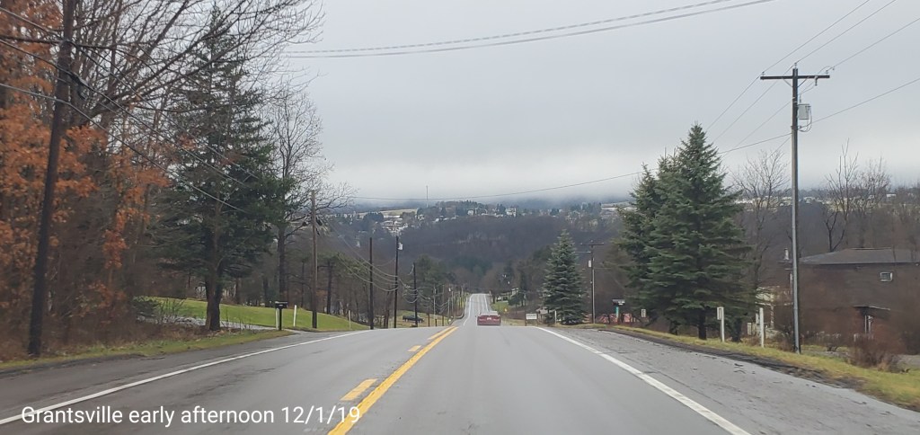
Meadow Mt north on New Germany, then to Rt 40 east of Grantsville via Chestnut Ridge
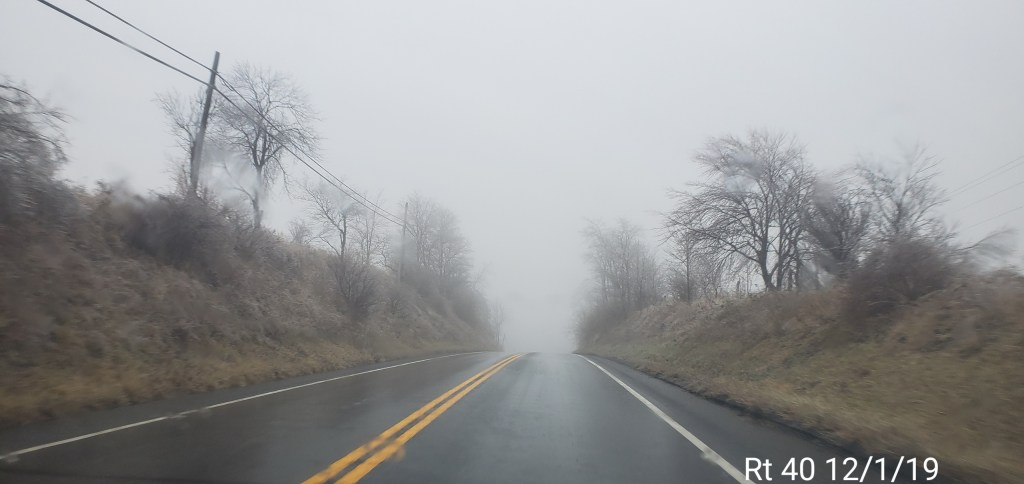
RT 40 east to Savage Mt and back west to Grantsville

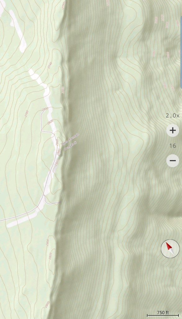
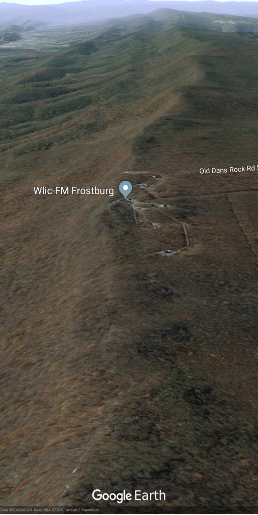
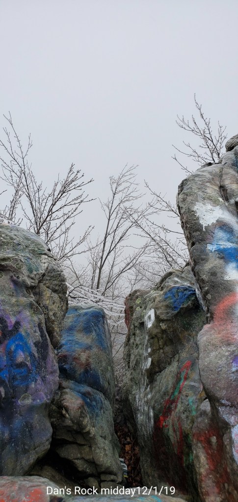
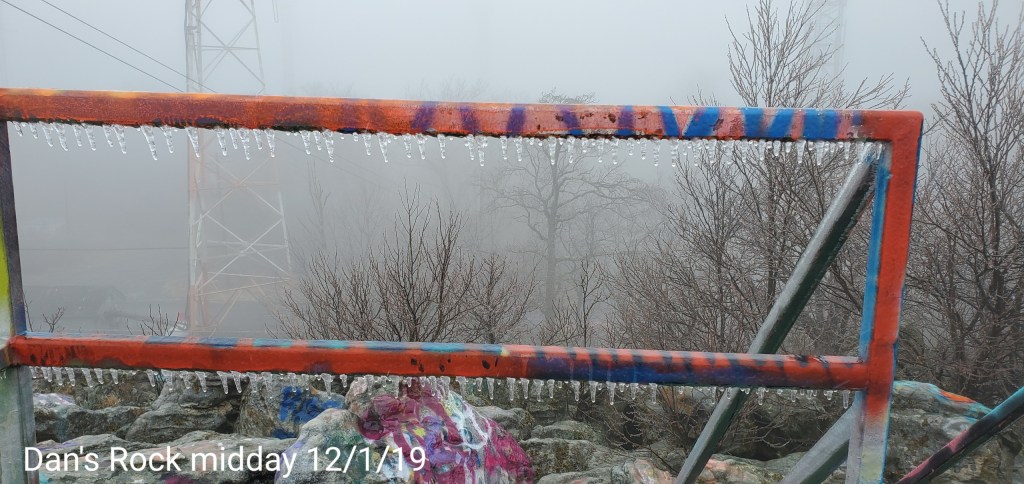
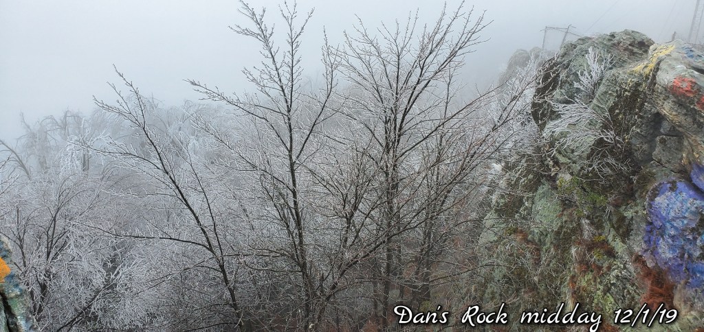
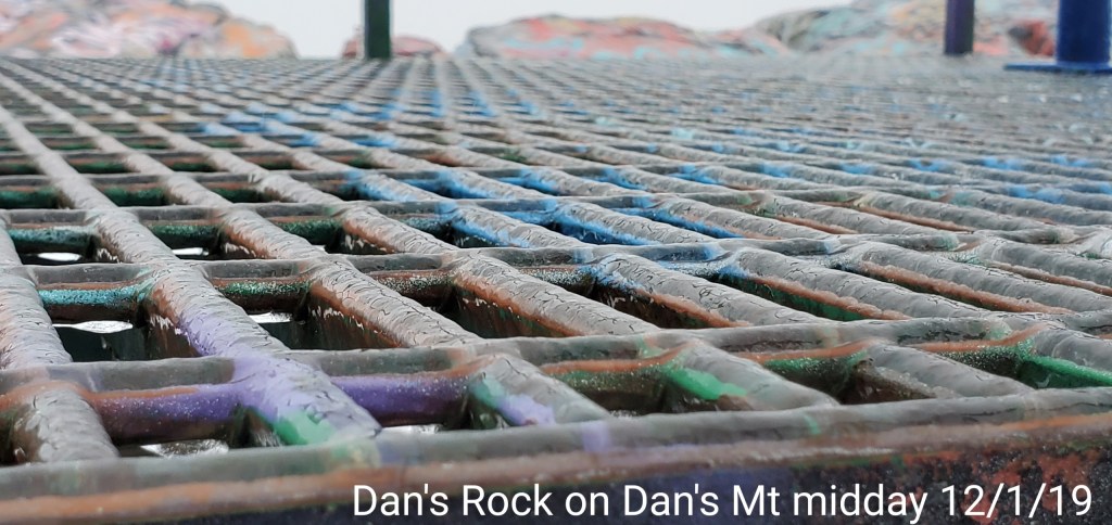
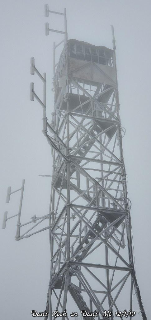
Dan’s Rock area on Dans Mountain

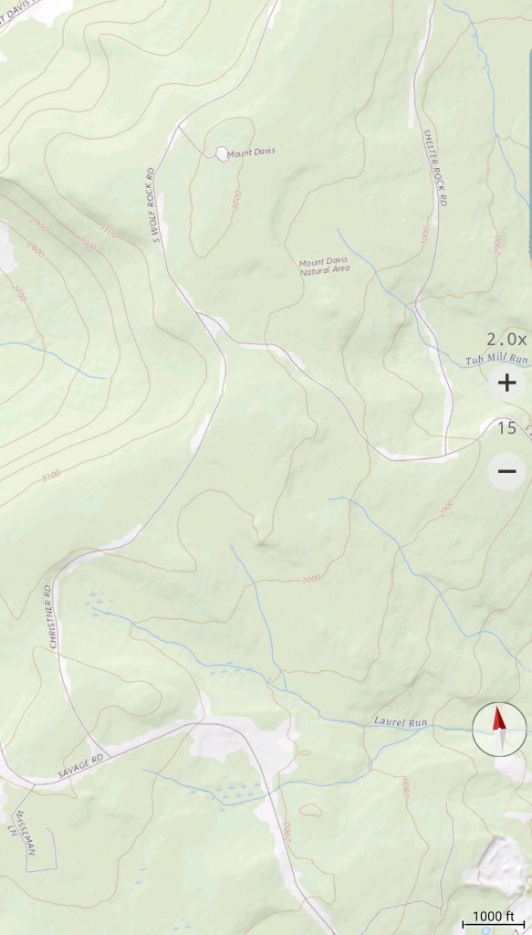
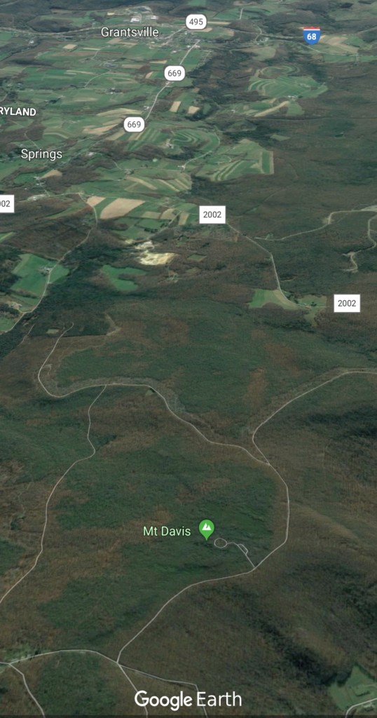
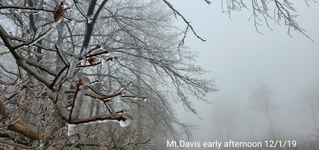
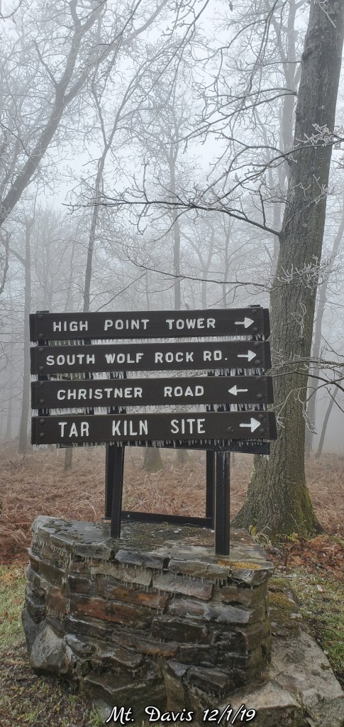
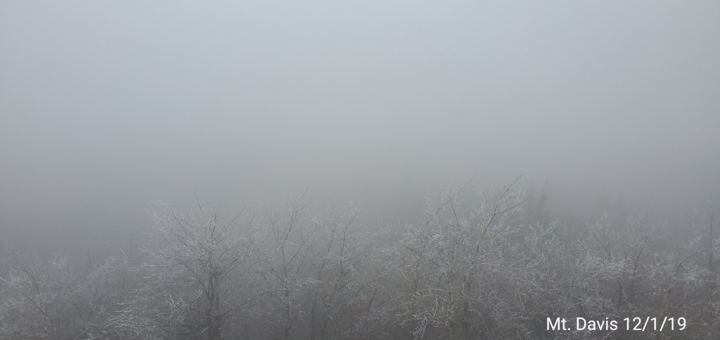
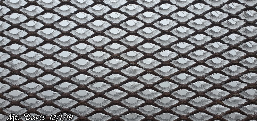
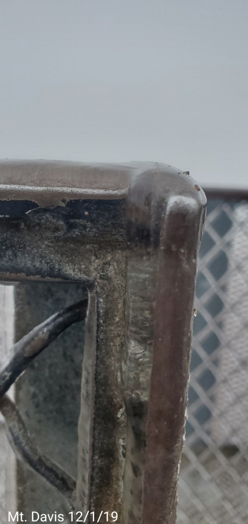
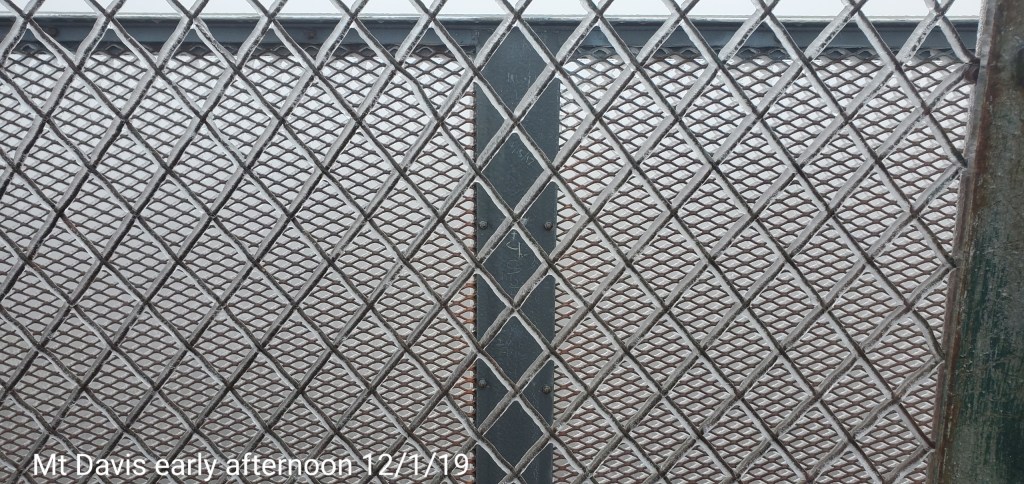
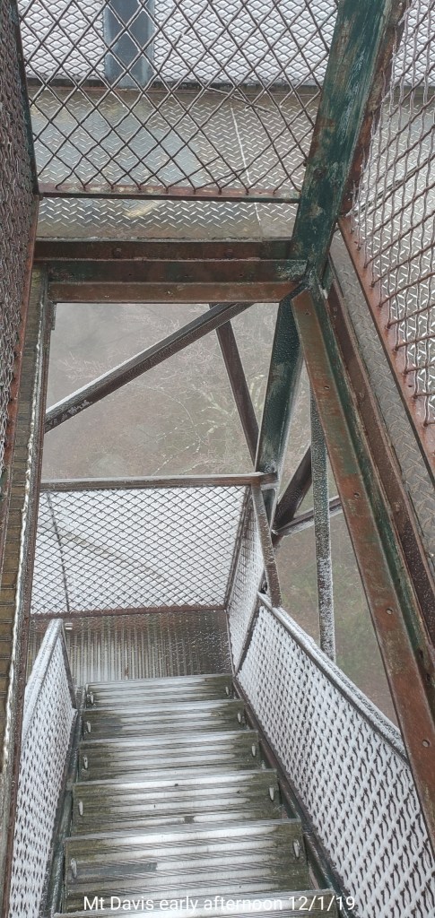
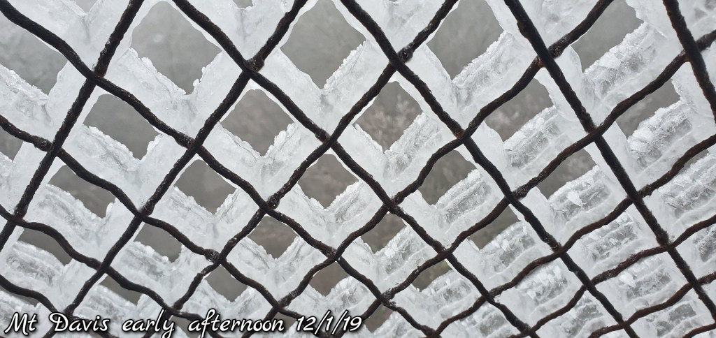
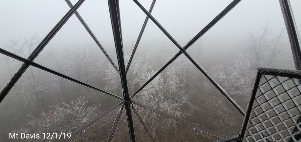
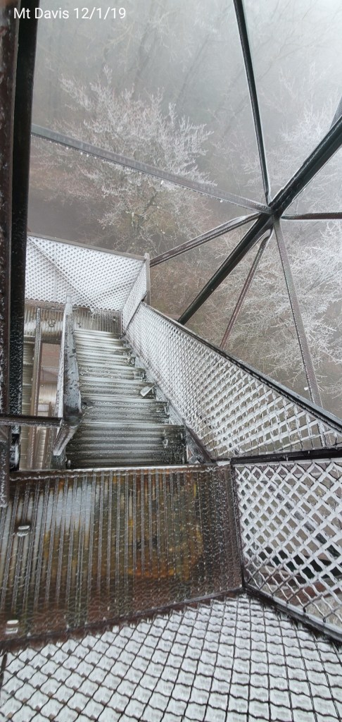
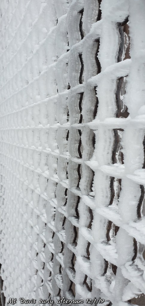
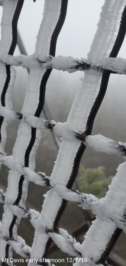
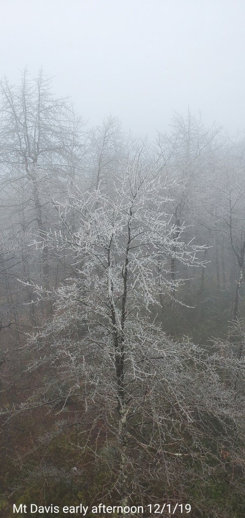
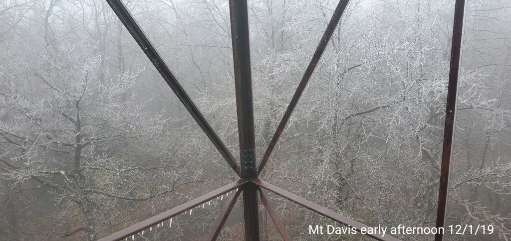
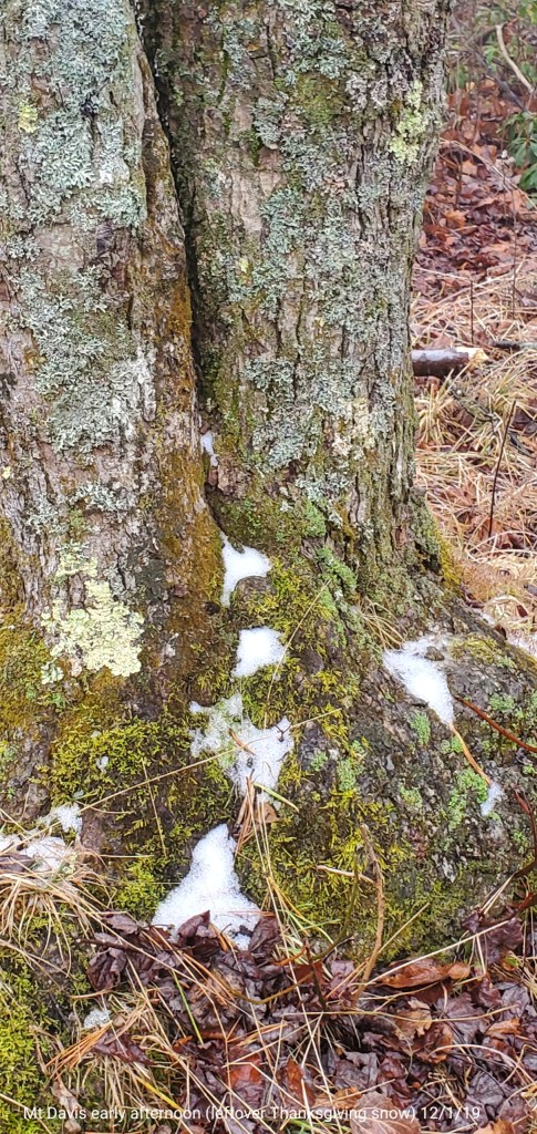
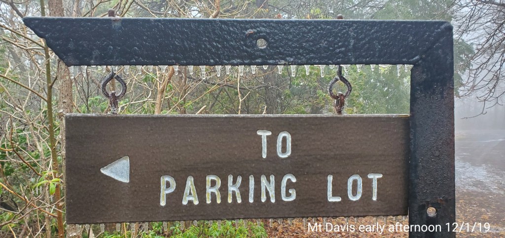
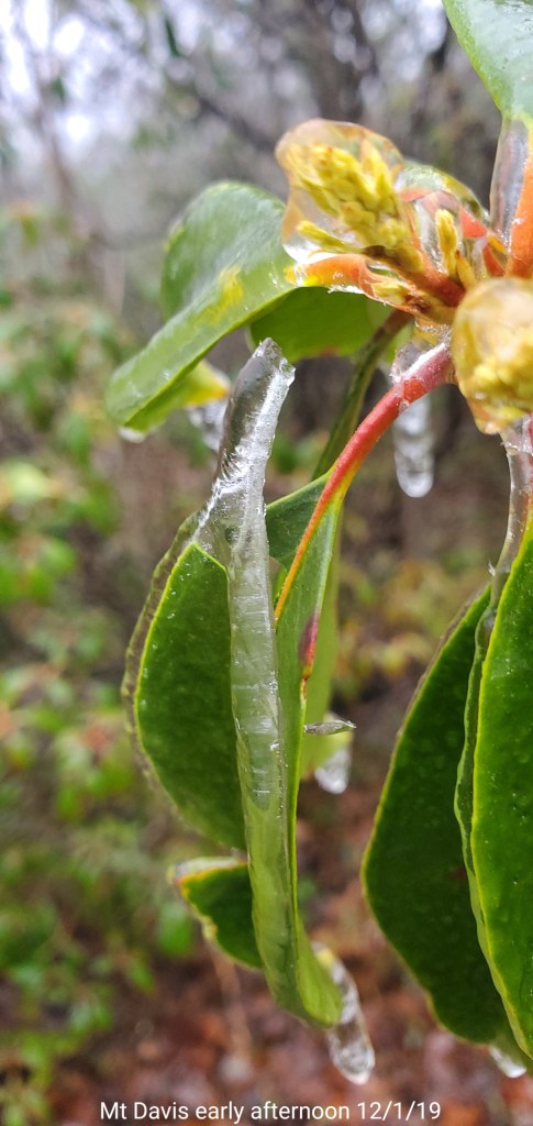
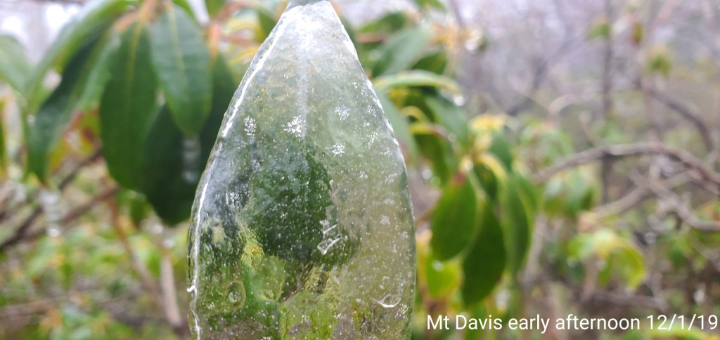
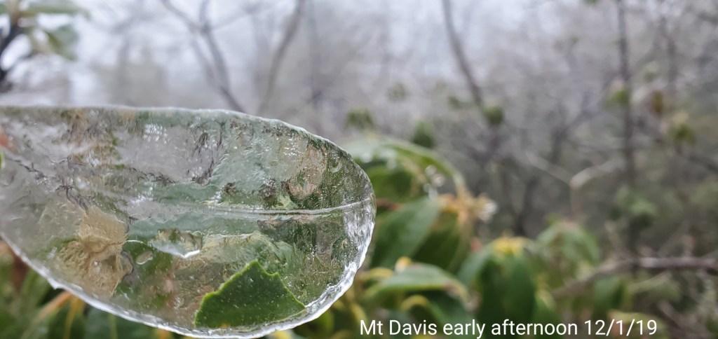
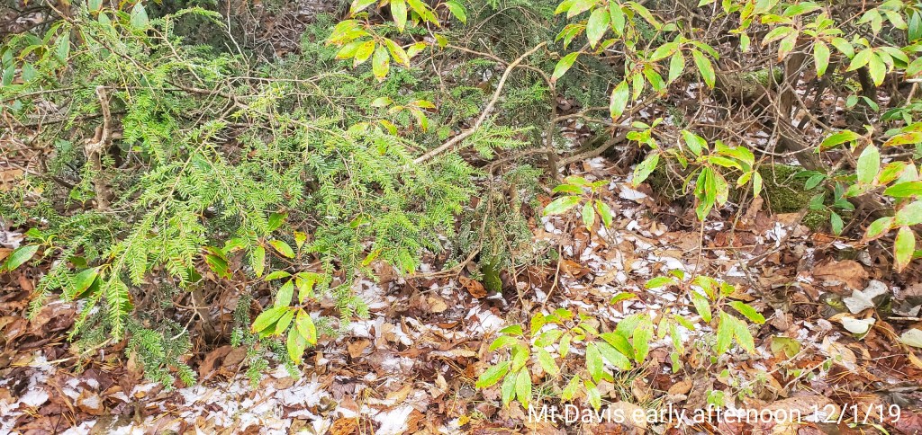
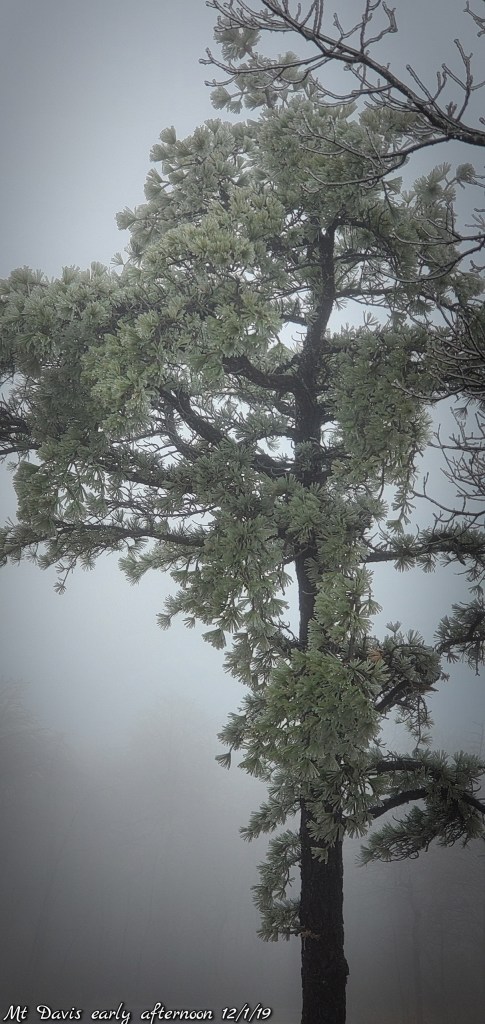
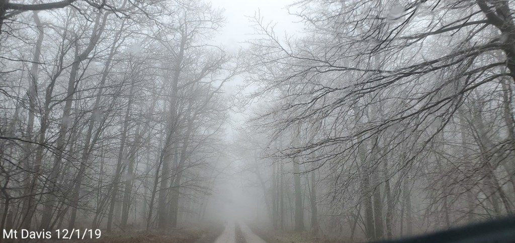
Mt. Davis area
Early afternoon temps here were holding at 31°


McHenry after nightfall
Photos by the Bittinger Volunteer Fire Department
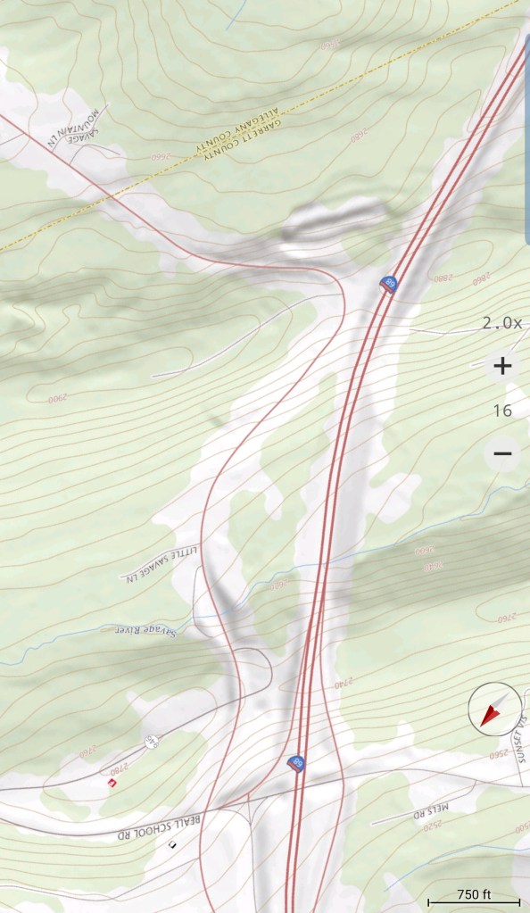
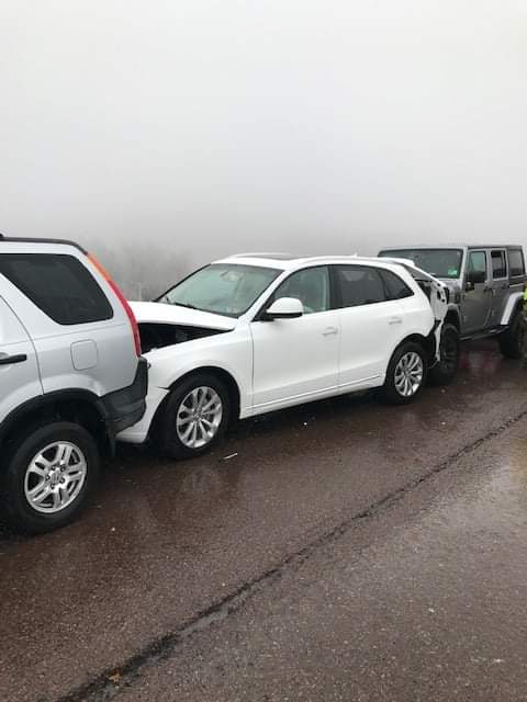
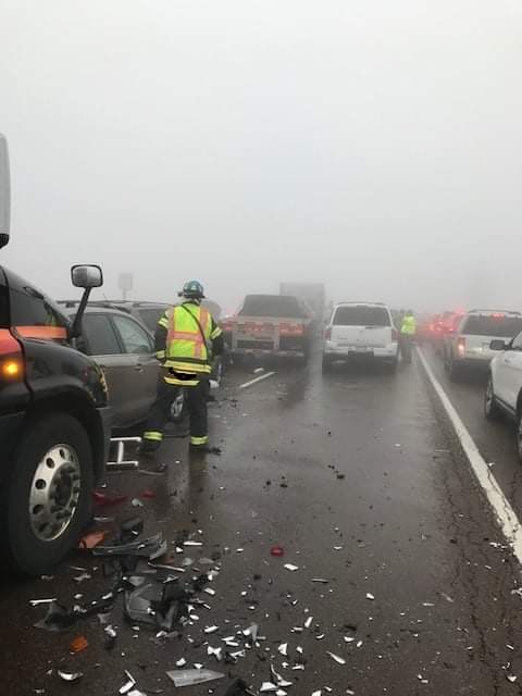
I-68 pileup, Savage Mt.

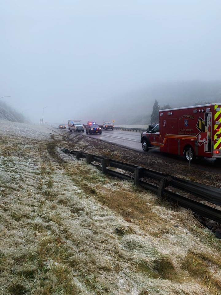

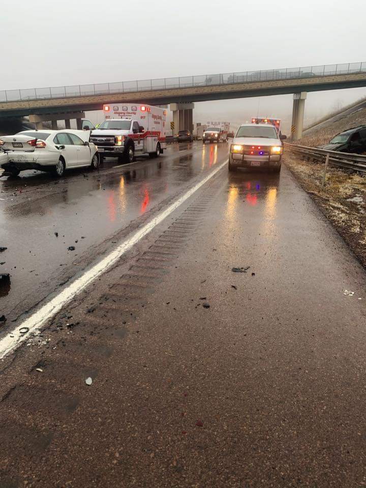
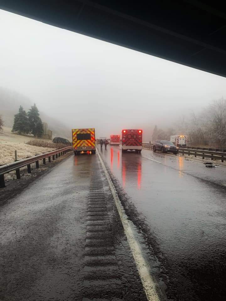
Shaft Volunteer Fire Department photos
Video posted by Cumberland on Patrol Facebook page


Outlook: generated 7:30am
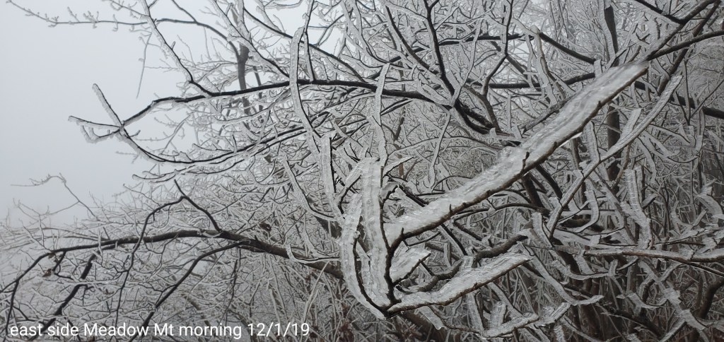
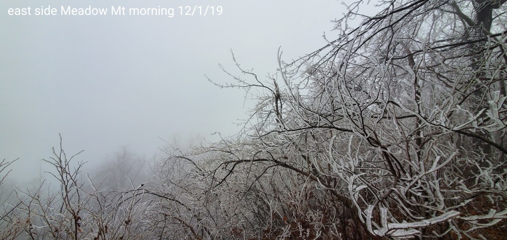
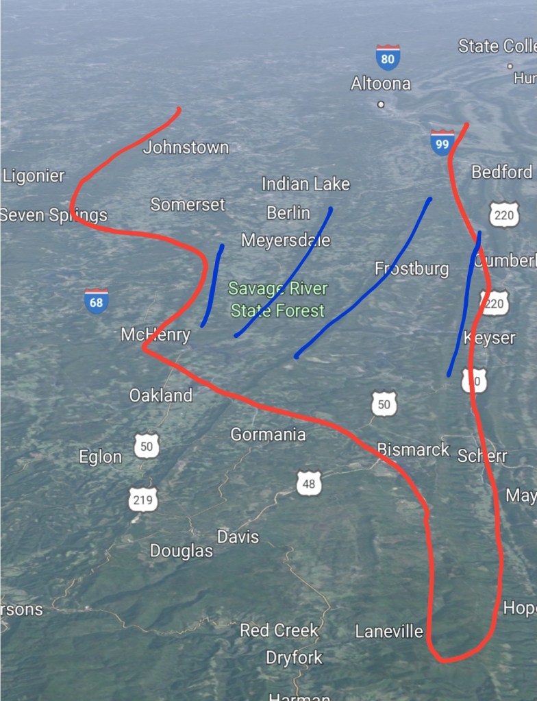
Ice zones remain pretty much confined inside the red areas, and main accretion is on the higher east facing elevations above 2500′ where the ridges are highlighted in blue. Again, this is not a widespread power outage type ice event. Ice accretion around a tenth outside the east facing ridges at +2500′ within the red zone. .2 to .4 total will be likely on the east facing ridges +2500′ in this zone. Much less in non east facing areas in the zone.
Temps are marginal, roadways mainly fine. The state can stop dumping salt on.
Speaking of marginal temps ..this morning
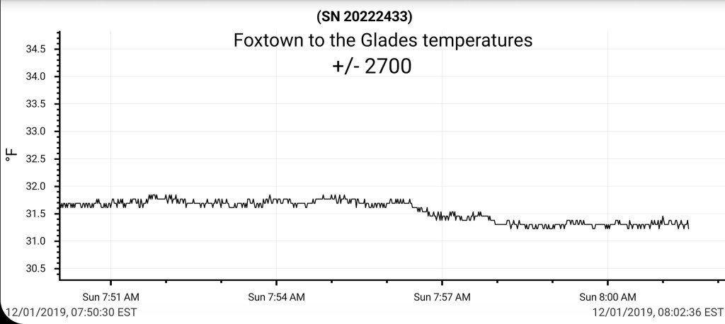
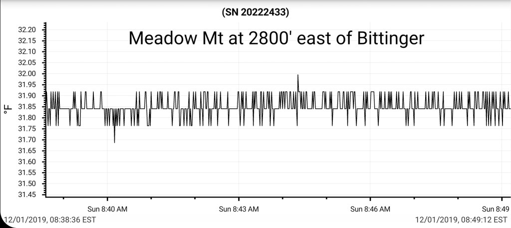
Ice accretion greatest on east facing areas, that the wind helps plaster and freeze faster. Out of the wind, temps are marginal enough, a lot runs off before freezing.
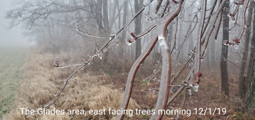

By those pics, you can see the east wind siding in freezing.
This should continue in a marginal fashion and shrink in coverage through midday.
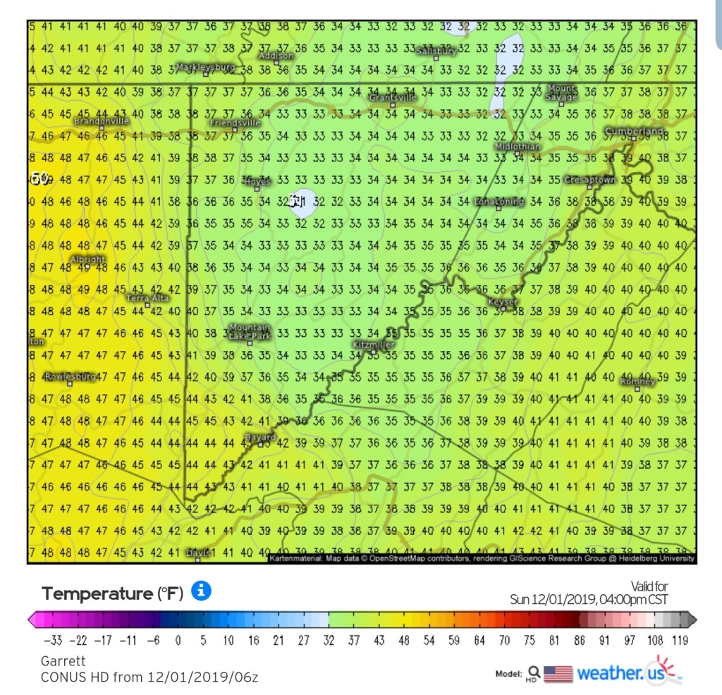
Modeled temps by midday
The better half…❄
The snow side, that comes in tonight into Tuesday. Nothing has really changed since yesterday mornings update. 2-5″ Garrett, Preston, Fayette, Somerset, Cambria high ground. West is best ,east is least.
The Wv high ground 4-8″ Sunday night through Tuesday a.m and lean low to mid range on those numbers. That will be blown about Monday. Temps hold 20s. Ignore forecast of rain mix for the high ground Monday.
More accumulation midweek.
