January 18, 2020
Jan 18(Sat)
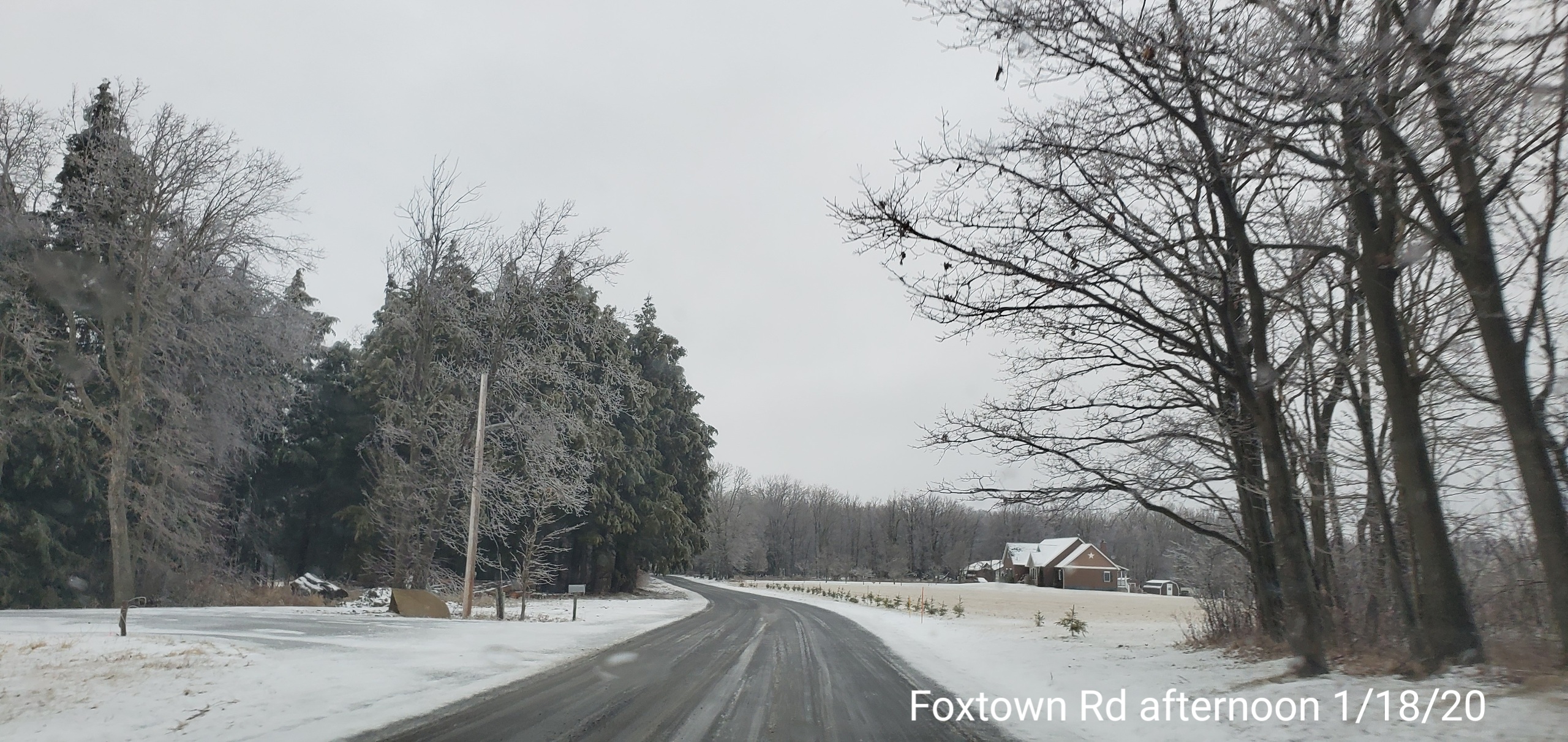
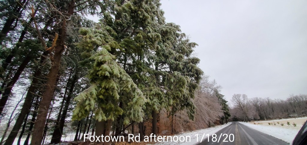
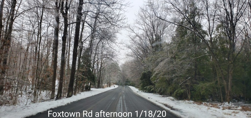
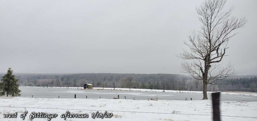
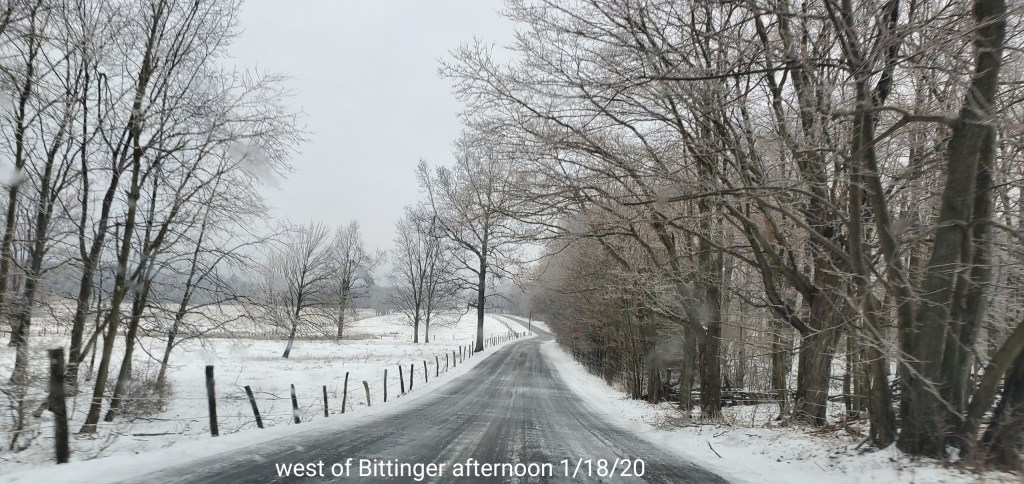
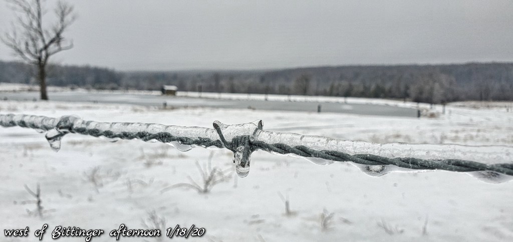
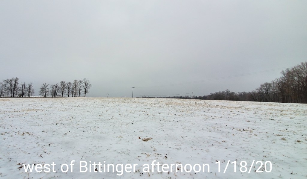
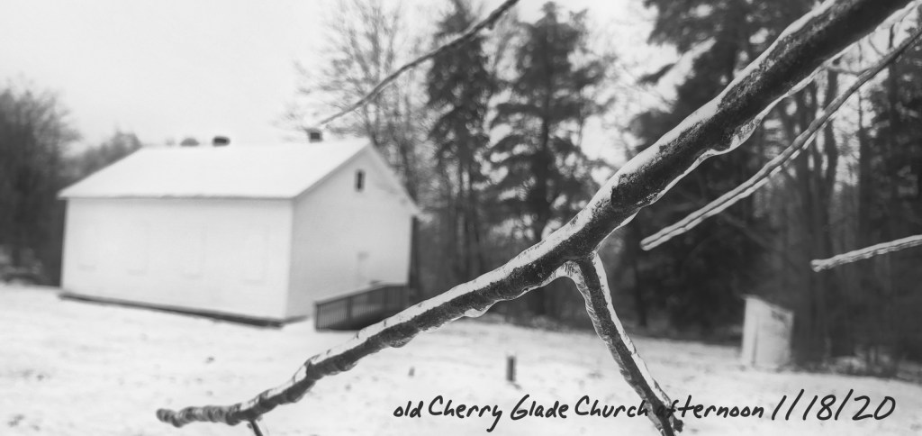
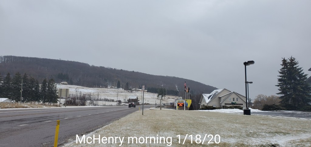
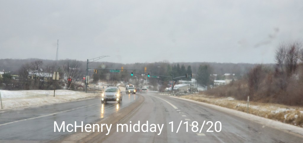
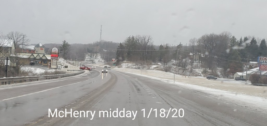
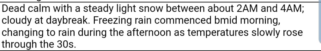
After a brief hit of snow predawn, the day began with a lull. Then after 8, some snow began, that rapidly changed to sleet, then freezing rain and location played a role of when and how much. That went to plain rain late day, with the exception of the deeper valleys east.
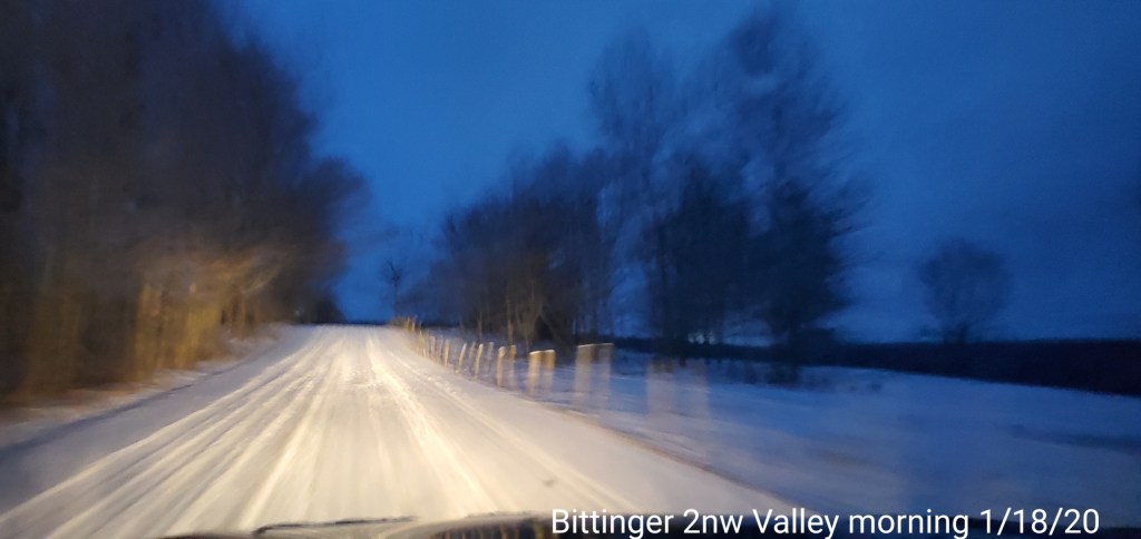
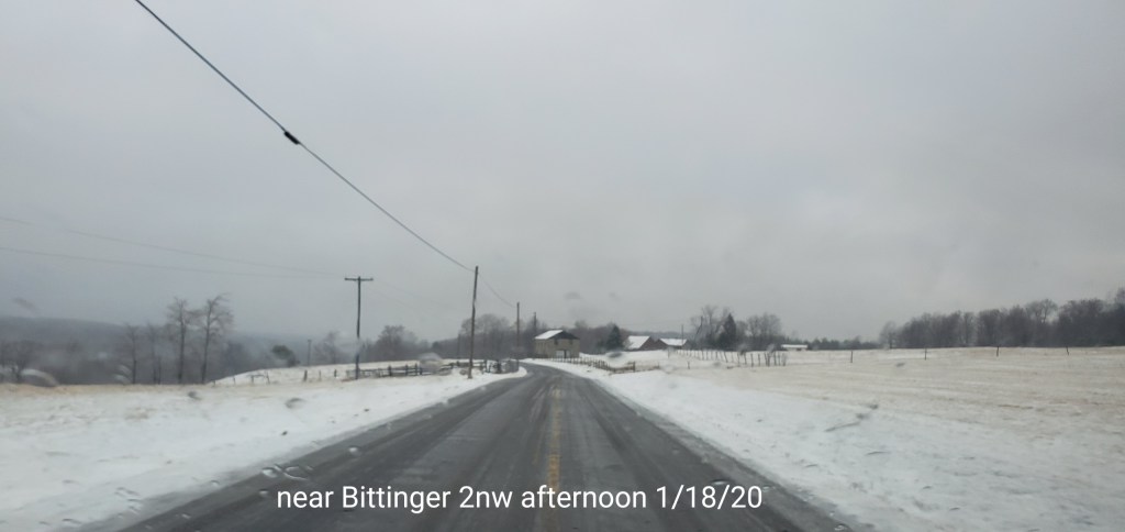
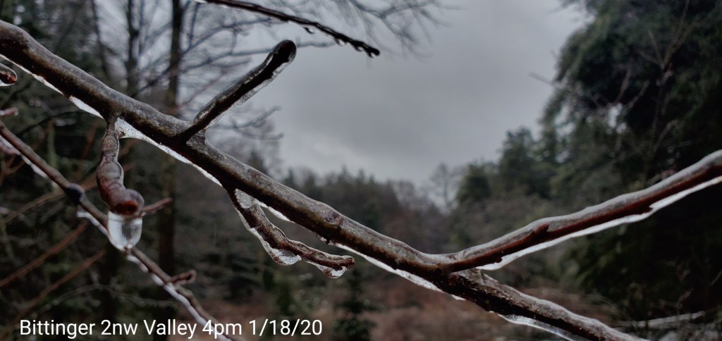
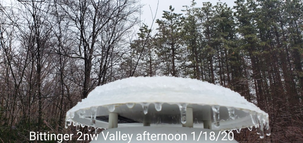
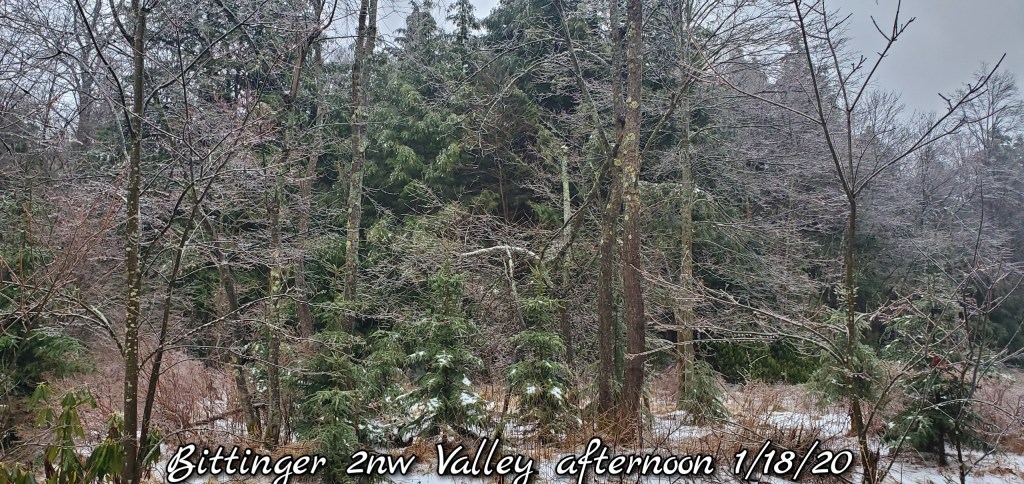
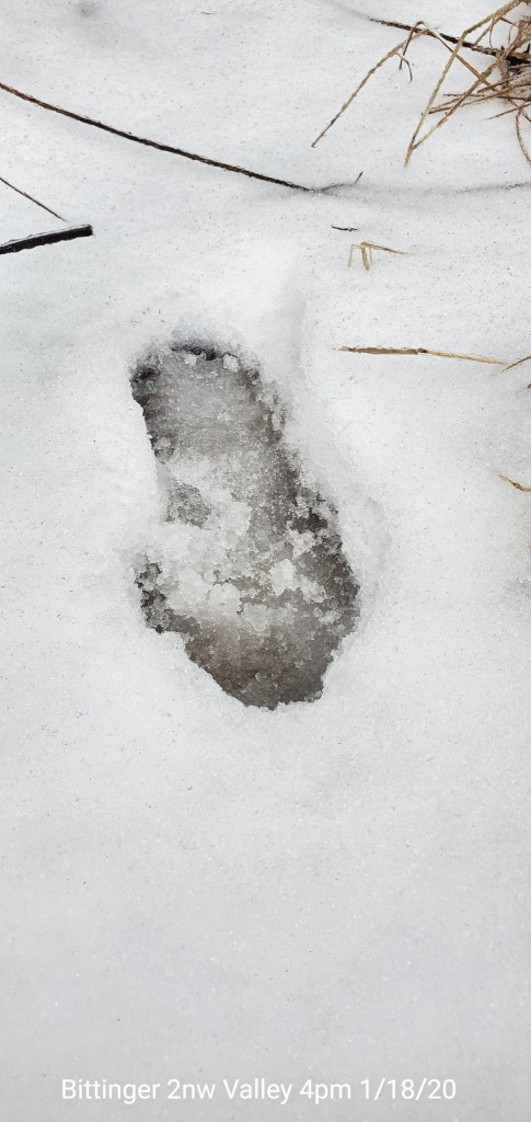
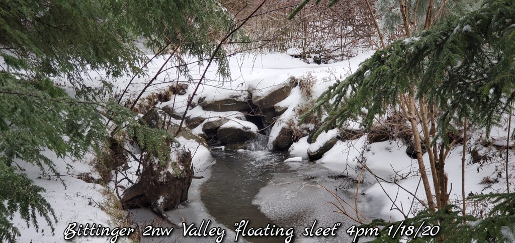
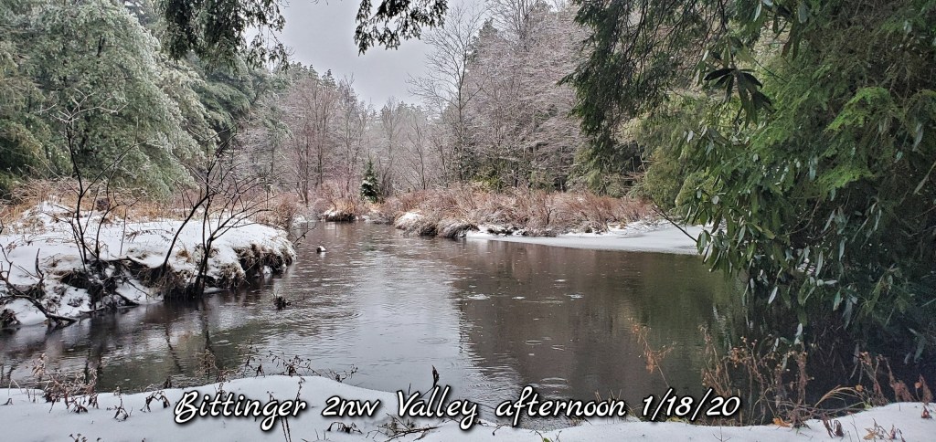
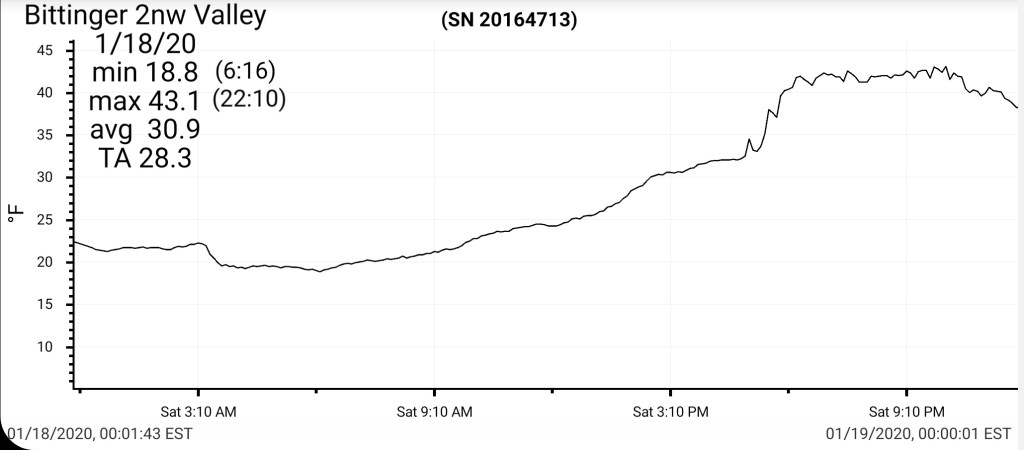
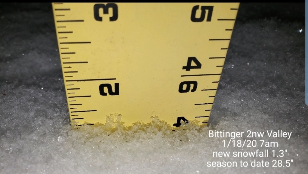
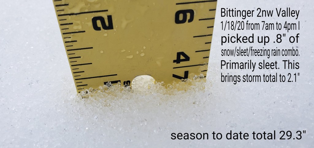
Bittinger 2nw Valley
MIN[18.8]—MAX[43.1]—AVERAGE MEAN[30.9]—TRUE AVERAGE[28.3]
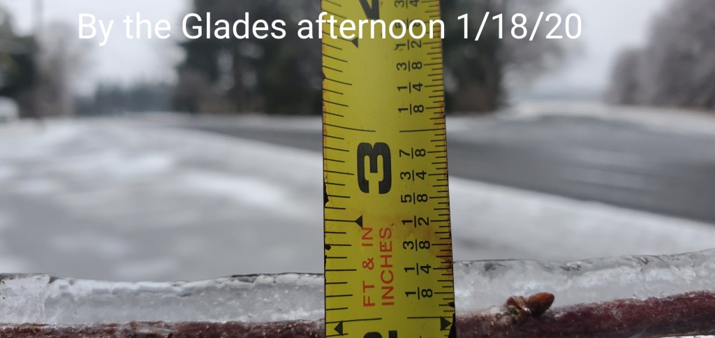
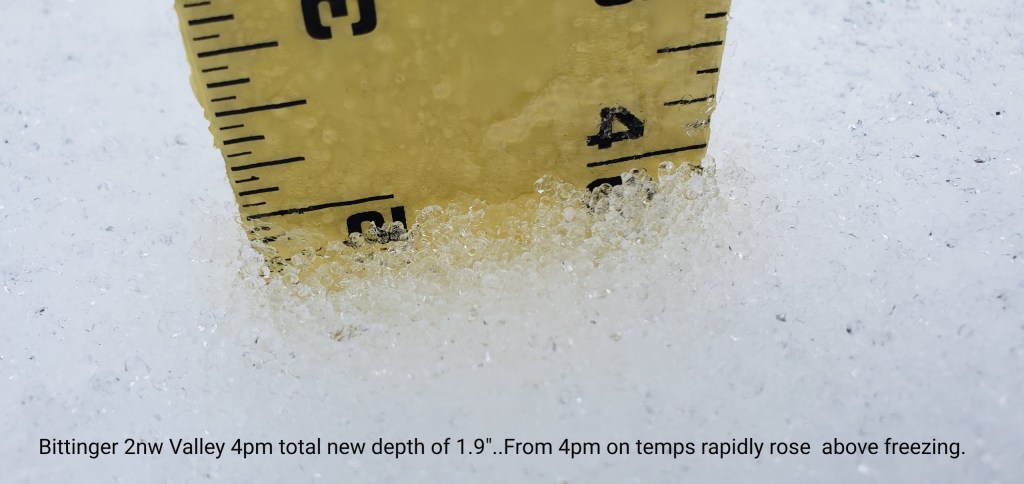
Snowfall total new through 4pm at the time temps rapidly rose. If you didnt record at this time, amounts were lost between 4pm and 1 am with the mild temps and very strong wind. Totals- this INCLUDES sleet, freezing rain combo. 2.1″. The morning consisted of a duration of sleet while nearby areas, ex-McHenry was mainly freezing rain, even the Glades more ice vs this spot and less sleet…. 1.3″ occured with the predawn snow, .8 occured through the day with the snow/sleet/freezing rain combo. To show examples of how much sleet, it floats, and floated along the tops of the small creeks
Snowfall season to date 29.3.


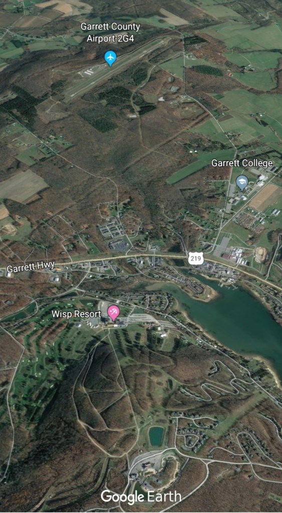
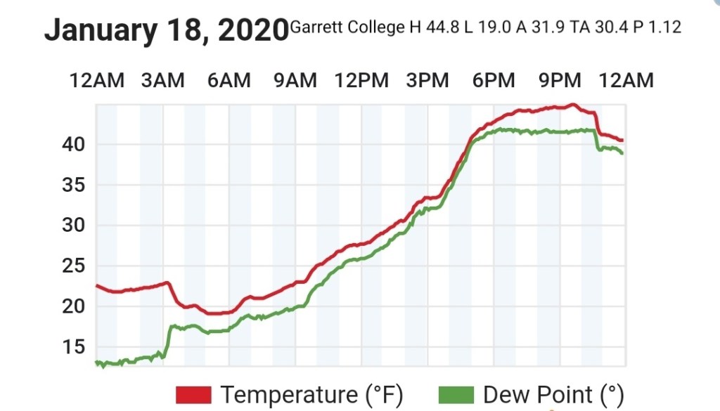
Garrett College
MIN[19.0]—MAX[44.8]—AVERAGE MEAN[31.9]—TRUE AVERAGE[30.4]—PRECIP[1.12]
Canaan Heights/Davis 3SE
MIN[23.0]—MAX[41.0]—AVERAGE MEAN [32.0]—PRECIP[.09]
Snowfall 1.2″
Snowfall season to date 42.7″
Comments by Dave Lesher at
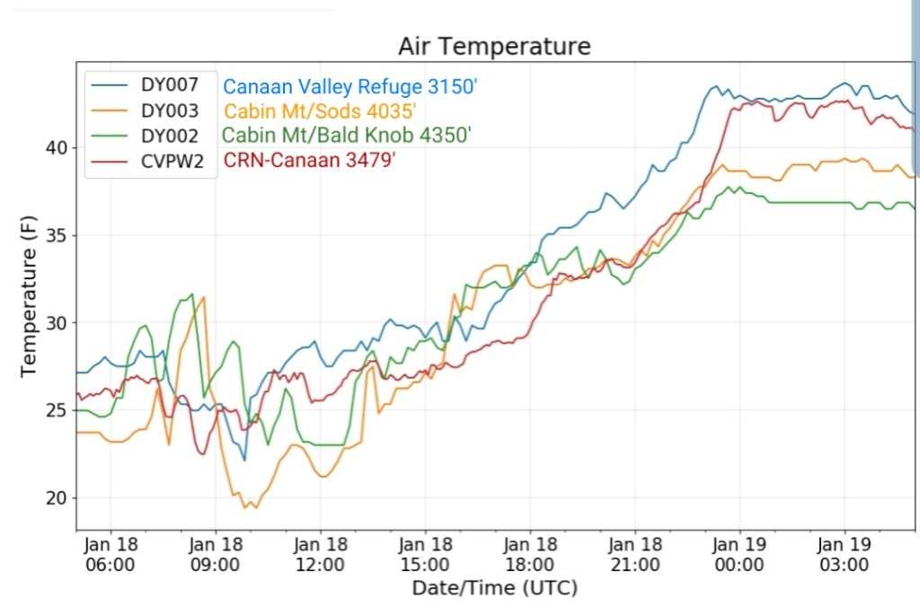
Climate Reference Network Canaan
Cabin Mt at Bald Knob
MIN[22.8]—MAX[37.8]—AVERAGE MEAN[30.3]—TRUE AVERAGE[31.2]—PRECIP[.72]

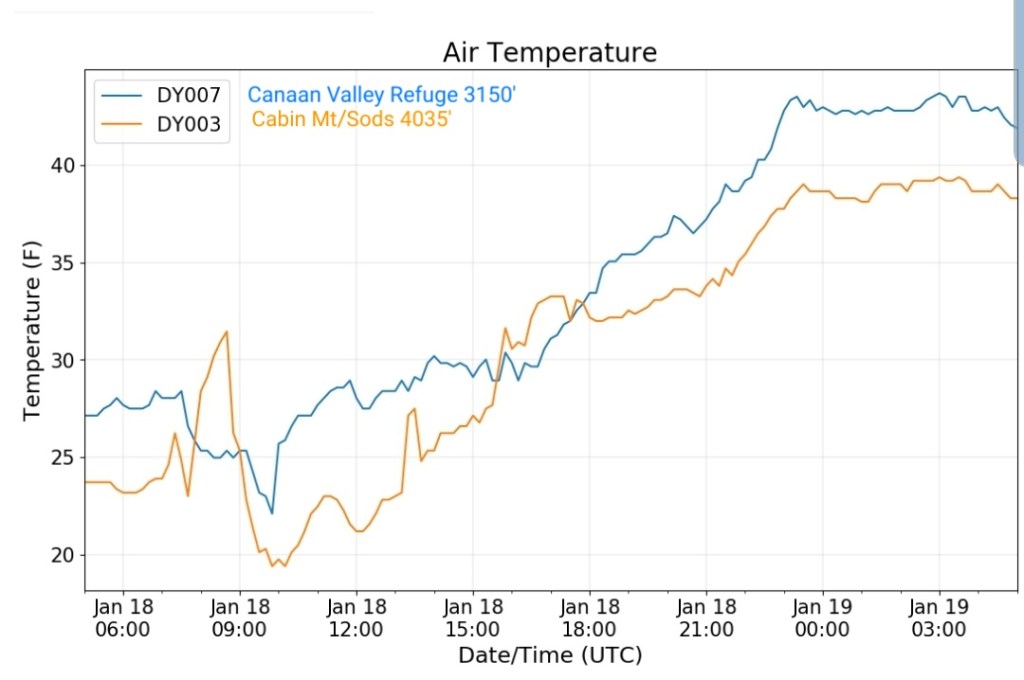
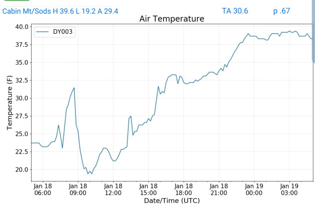
Cabin Mt-Western Sods
MIN[19.2]—MAX[39.6]—AVERAGE MEAN[29.4]—TRUE AVERAGE[30.6]—PRECIP[.67]
Spruce Knob
MIN[18.1]—MAX[34.3]—AVERAGE MEAN[26.2]—TRUE AVERAGE[26.5]—PRECIP[.27] likely that’s only partial melt into the gauge

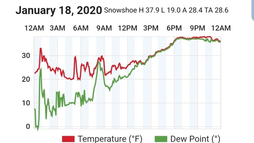
Snowshoe
MIN[19.0]—MAX[37.9]—AVERAGE MEAN[28.4]—TRUE AVERAGE[28.6]
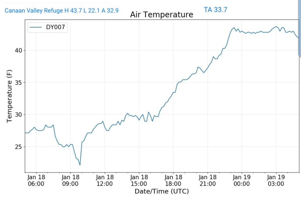
Canaan Valley Refuge
MIN[22.1]—MAX[43.7]—AVERAGE MEAN[32.9]—TRUE AVERAGE[33.7]
7Springs
MIN[17.2]—MAX[41.8]—AVERAGE MEAN[29.5]—TRUE AVERAGE[27.3]