January 19, 2020
January 19, 2020
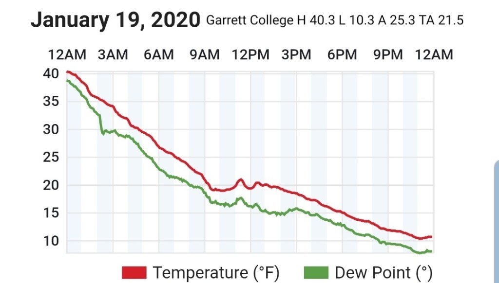
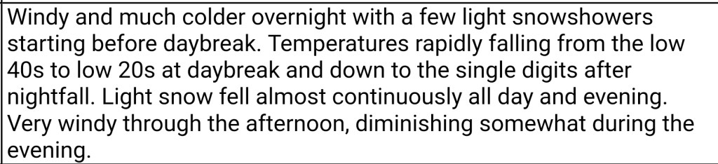
Temps began falling overnight. Strong gusty winds melted yesterdays accumulation in some areas, I retained 1.3″. Which was primarily sleet. A period of snow early morning, a brief break around 10, then that was followed by a continuous fluffy snow through nightfall.
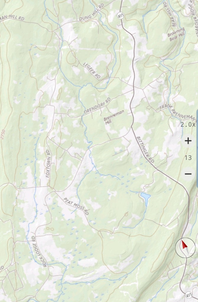
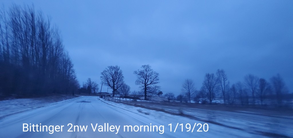
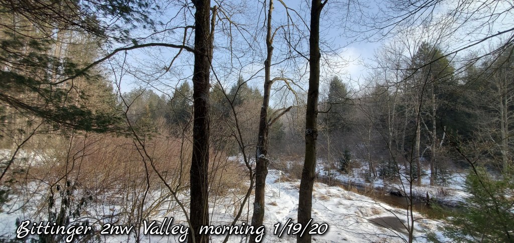
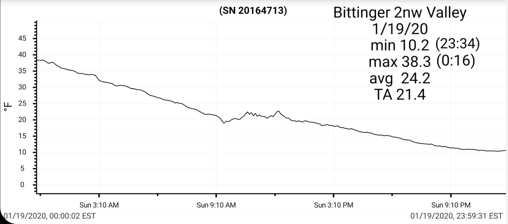
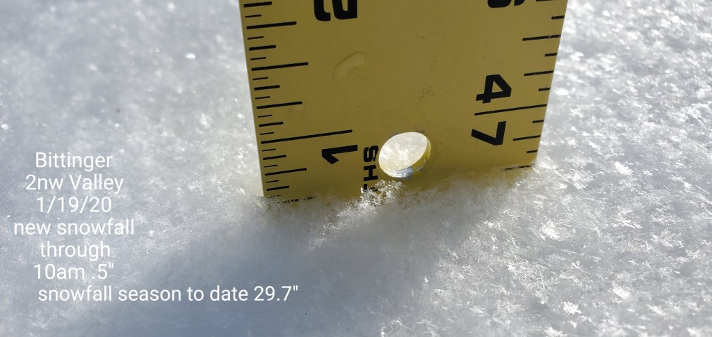
Bittinger 2nw Valley
MIN[10.2]—MAX[38.3]—AVERAGE MEAN[24.2]—TRUE AVERAGE[21.4]
Snowfall- .5″ through 10am, I had to leave, next recording tomorrow a.m from the snow from midday through tonight.
Snowfall season to date 29.7″ (through 10am)

Garrett College
MIN[10.3]—MAX[40.3]—AVERAGE MEAN[25.3]—TRUE AVERAGE[21.5]
Canaan Heights/Davis 3SE
MIN[7.0]—MAX[39.0]—AVERAGE MEAN[23.0]—PRECIP[.79]
Snowfall through 7am, trace, what fell today will be included tomorrow
Snowfall season to date 42.7″
Depth -T
Comments by Dave Lesher at
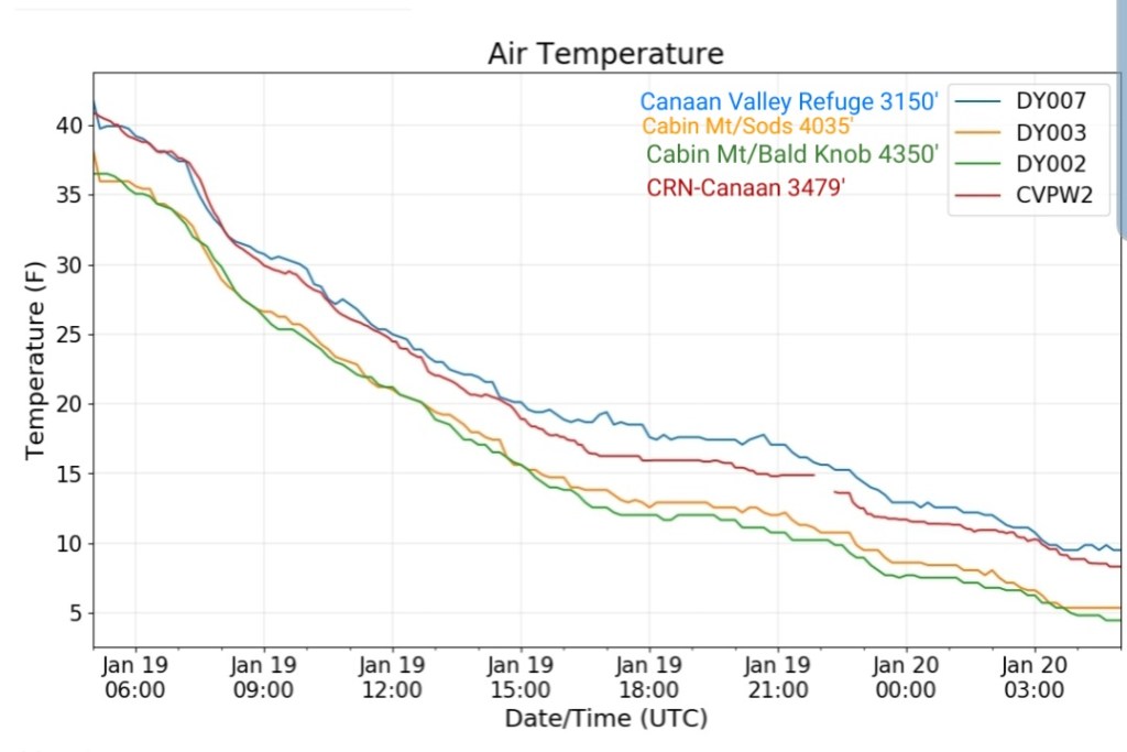
Climate Reference Network Canaan
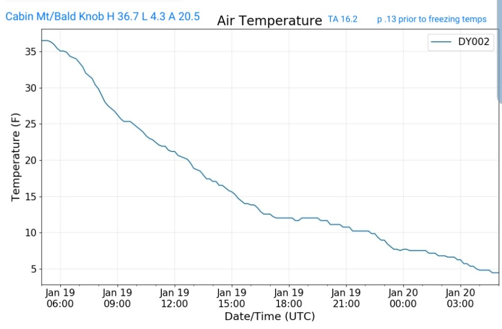
Cabin Mt at Bald Knob
MIN[4.3]—MAX[36.7]—AVERAGE MEAN[20.5]—TRUE AVERAGE[16.2]—PRECIP[.13] prior to freezing temps
Cabin Mt-Western Sods
MIN[5.2]—MAX[38.3]—AVERAGE MEAN[21.7]—TRUE AVERAGE[16.8]—PRECIP[.14]Prior to freezing temps

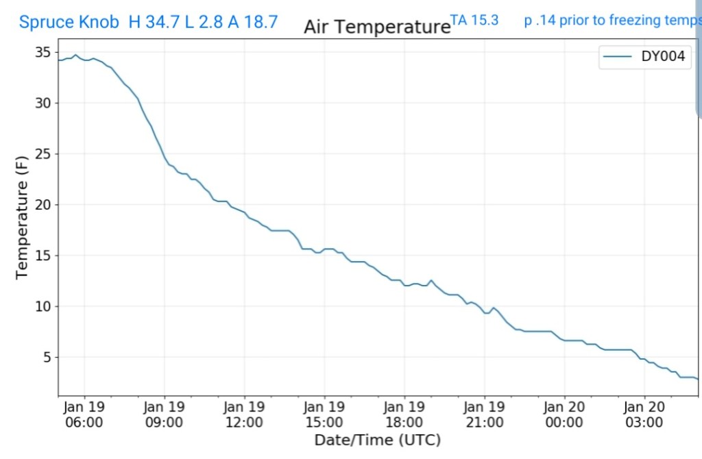
Spruce Knob
MIN[2.8]—MAX[34.7]—AVERAGE MEAN[18.7]—TRUE AVERAGE[15.3]—PRECIP[.14]Prior to freezing temps
Snowshoe
MIN[3.9]—MAX[36.5]—AVERAGE MEAN[20.2]—TRUE AVERAGE [16.2]

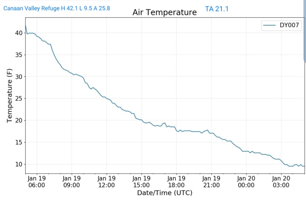
Canaan Valley Refuge
MIN[9.5]—MAX[42.1]—AVERAGE MEAN[25.8]—TRUE AVERAGE[21.1]
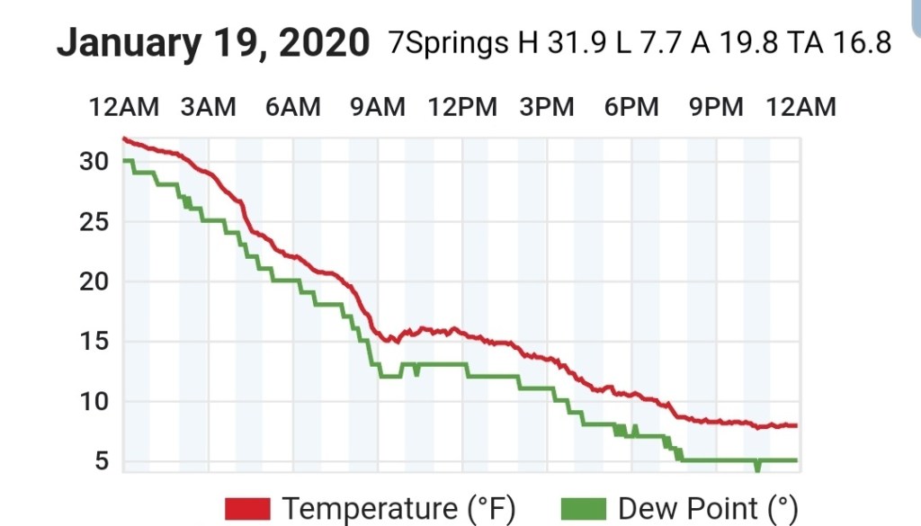
7Springs
MIN[7.7]—MAX[31.9]—AVERAGE MEAN[19.8]—TRUE AVERAGE[16.8]
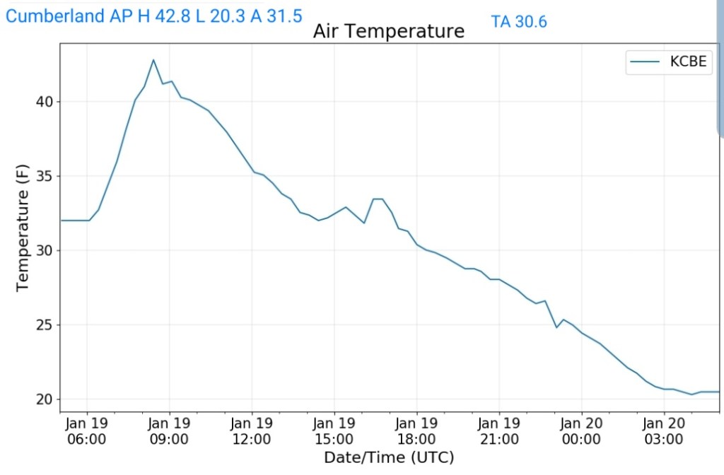
Cumberland Airport
MIN[20.3]—MAX[42.8]—AVERAGE MEAN[31.5]—TRUE AVERAGE[30.6]
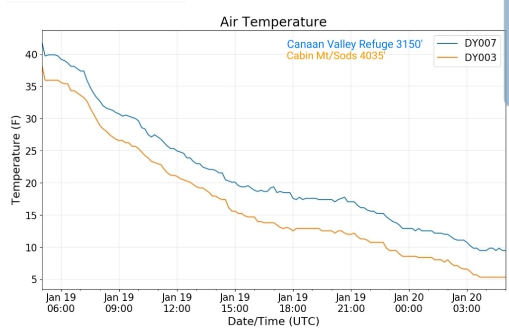
The Valley vs Cabin Mt
Canaan area temps
Comparison view
RTMA
Radar
Satellite
Flow
Surface features and 500mb height anomalies and flow


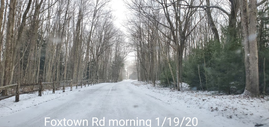
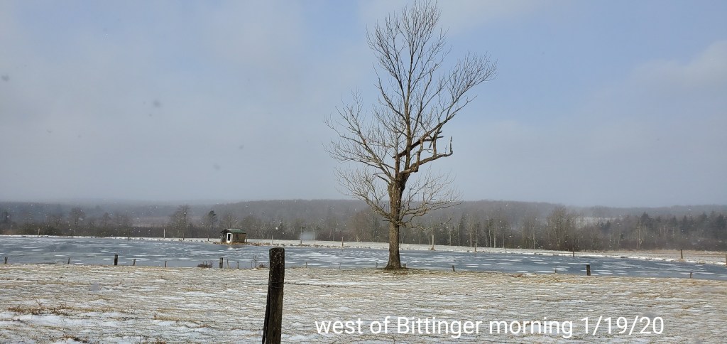
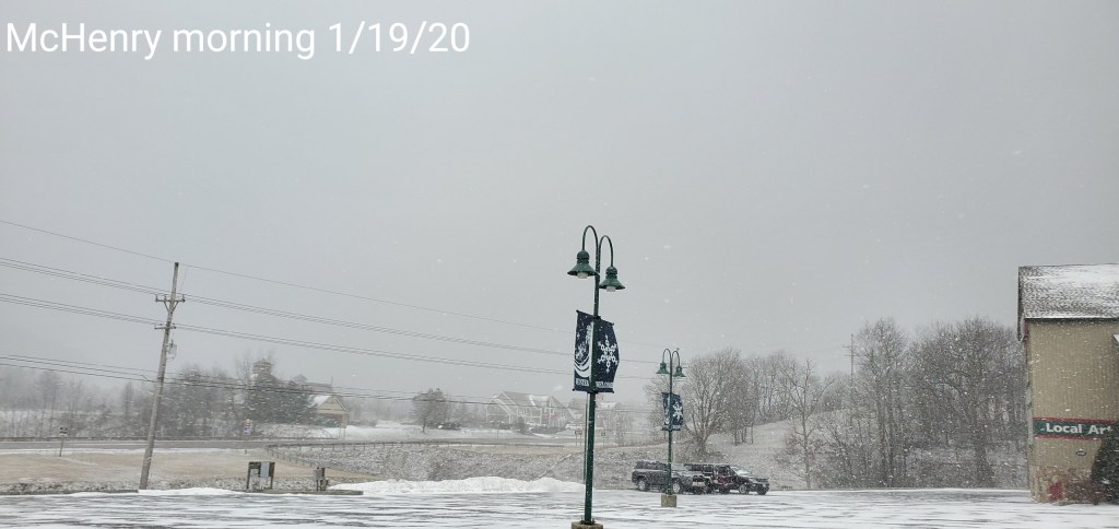
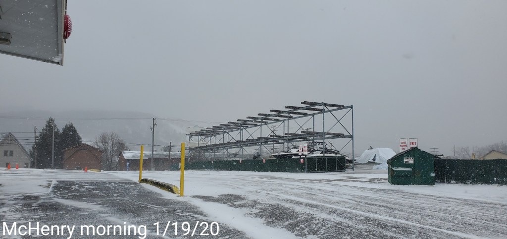
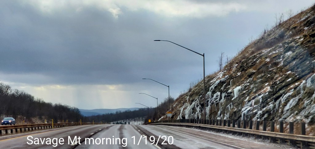
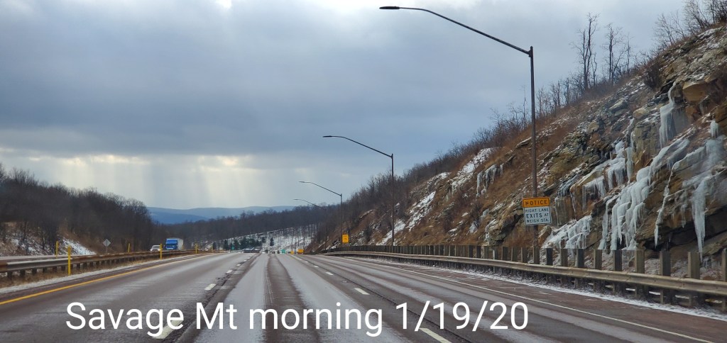
Pics today-