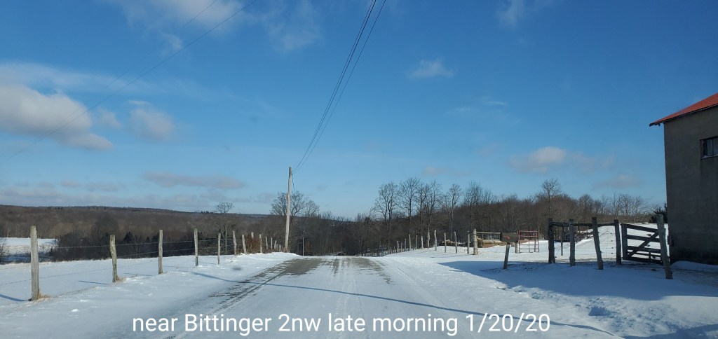
January 20, 2020
Jan 20(Mon)
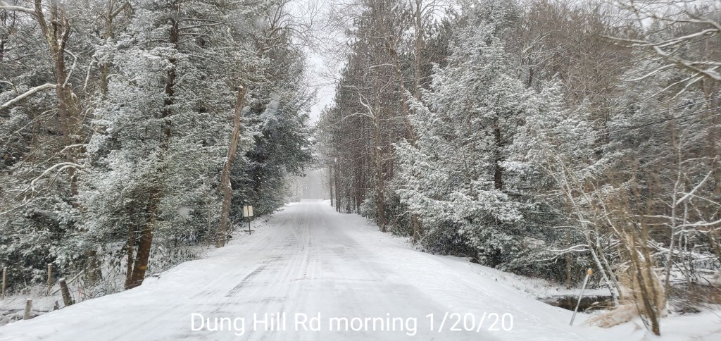
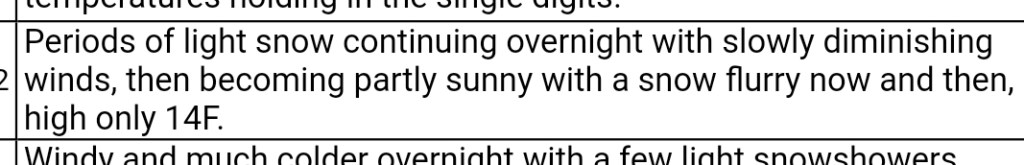
Some steady high ratio fluff from yesterday afternoon, through the overnight into this morning. A lull then again some action returning later. Very cold day.
To note- some areas got into the steady fluff and held it all night, some areas did not. This fluff ran 30 to 40 to 1, depending on your location. Ex- if you record in a calm, non wind impacted area, your ratio will be greater as no settling occurs, the flakes just stack up. On a hill, and throw in the slightest wind, your measurement will be lower as this stuff is very easy to break down. It’s mostly air. So an example and this is one of the imperfections in snow measuring. I had 4.2, neighbor on hill 3.0. We got the same amount of snow, no measurement is wrong. It’s simply the fluff nature where its disturbed vs non disturbed. That’s it.
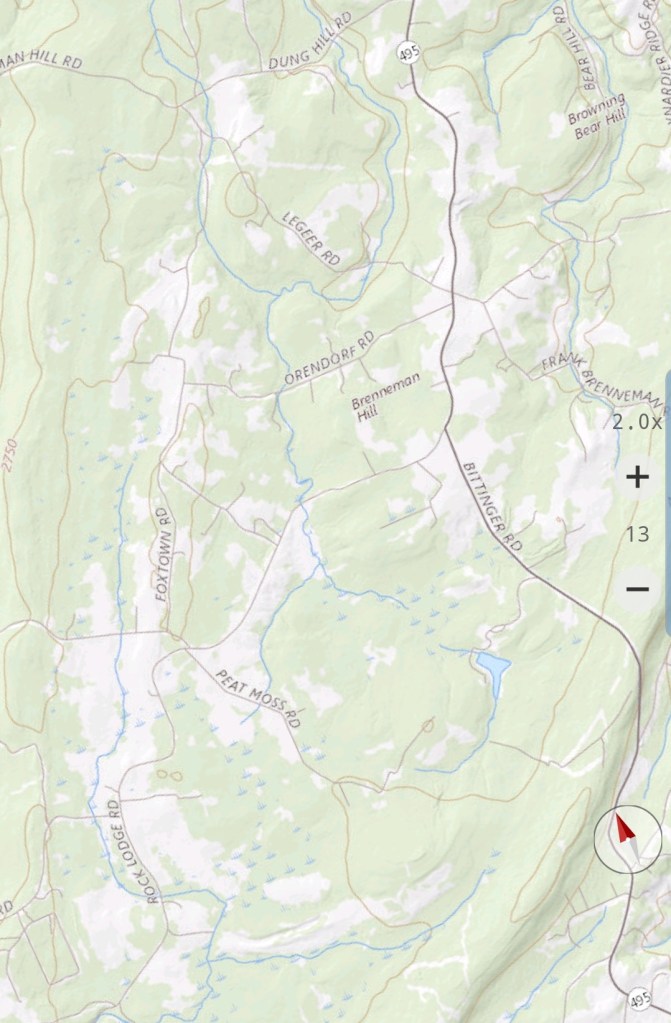
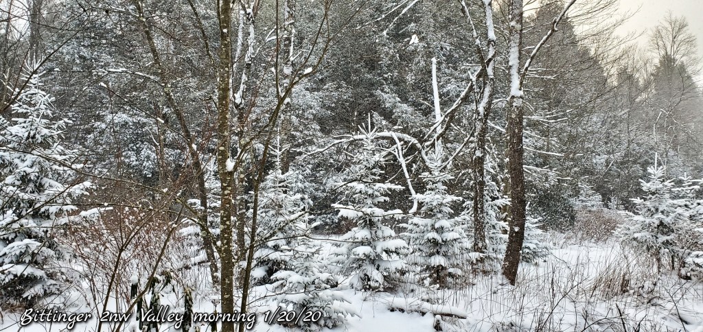
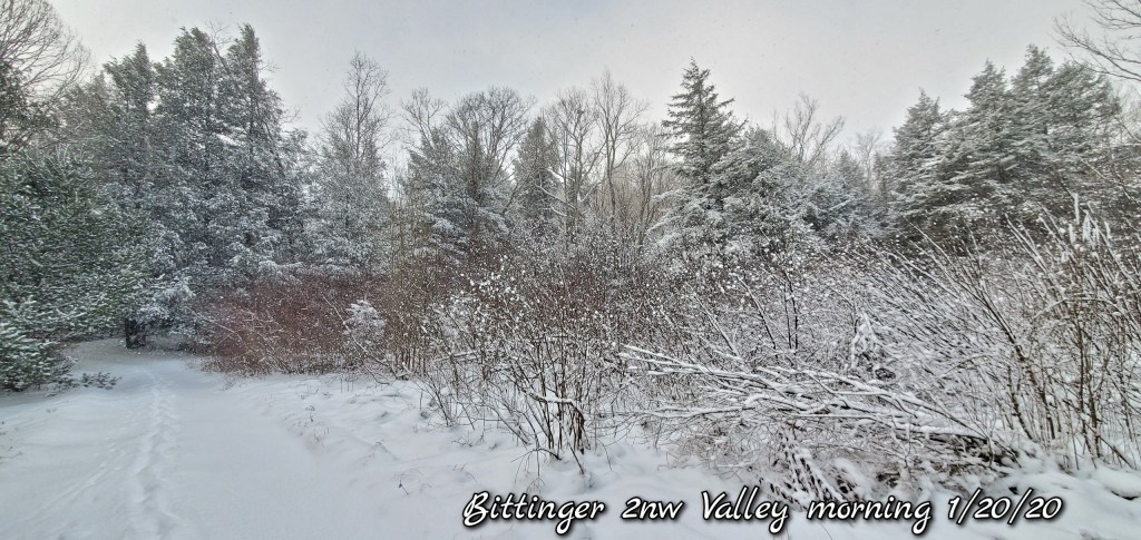
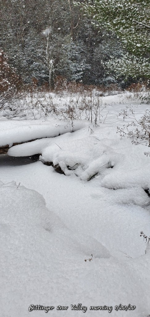
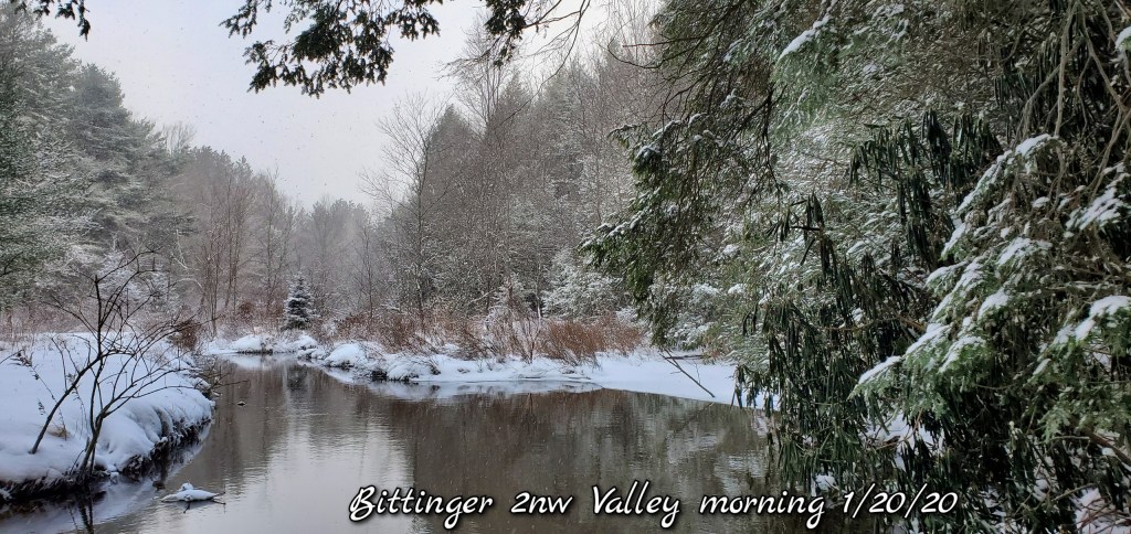
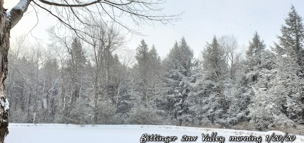
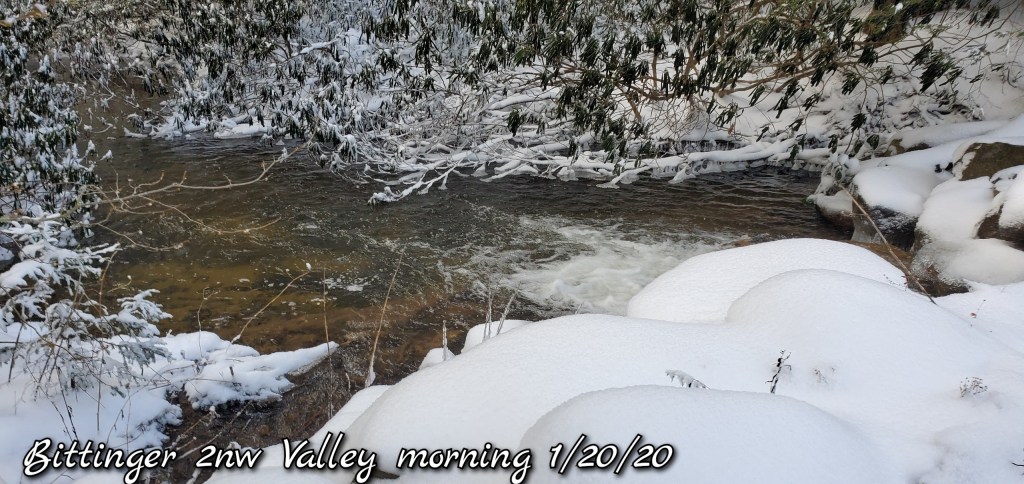
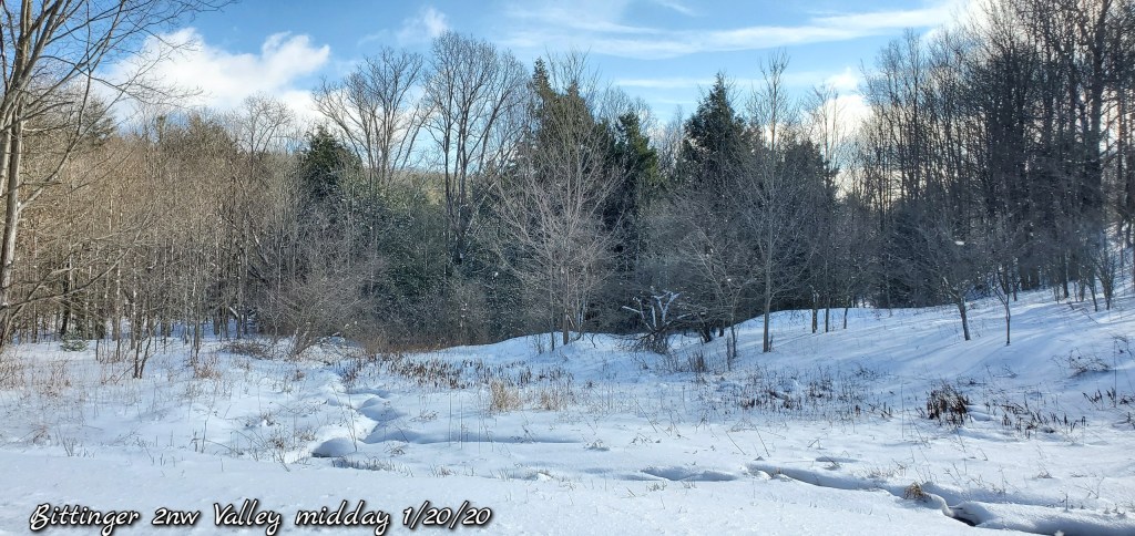
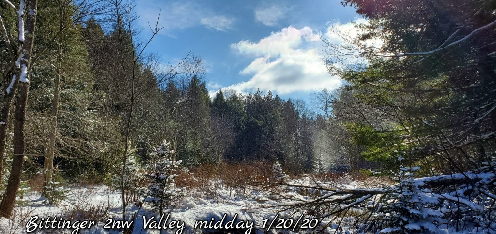
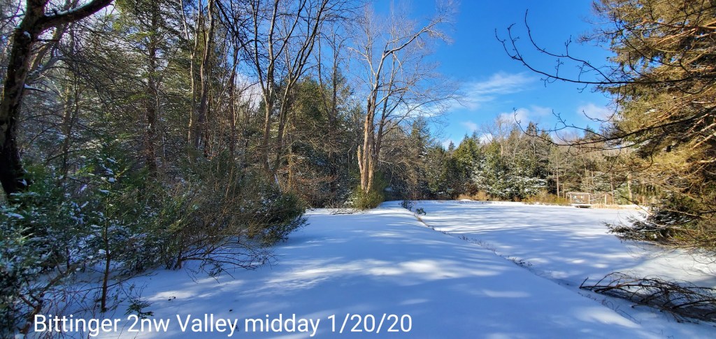
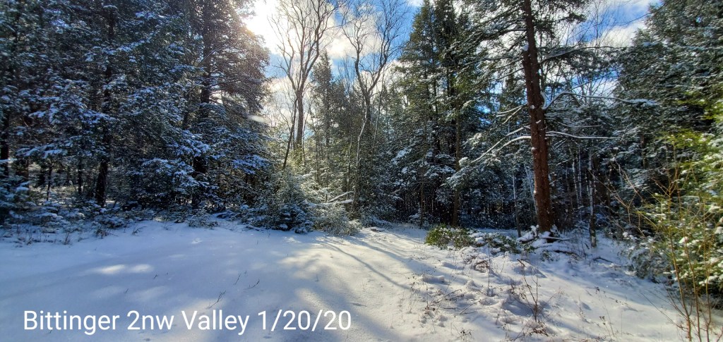
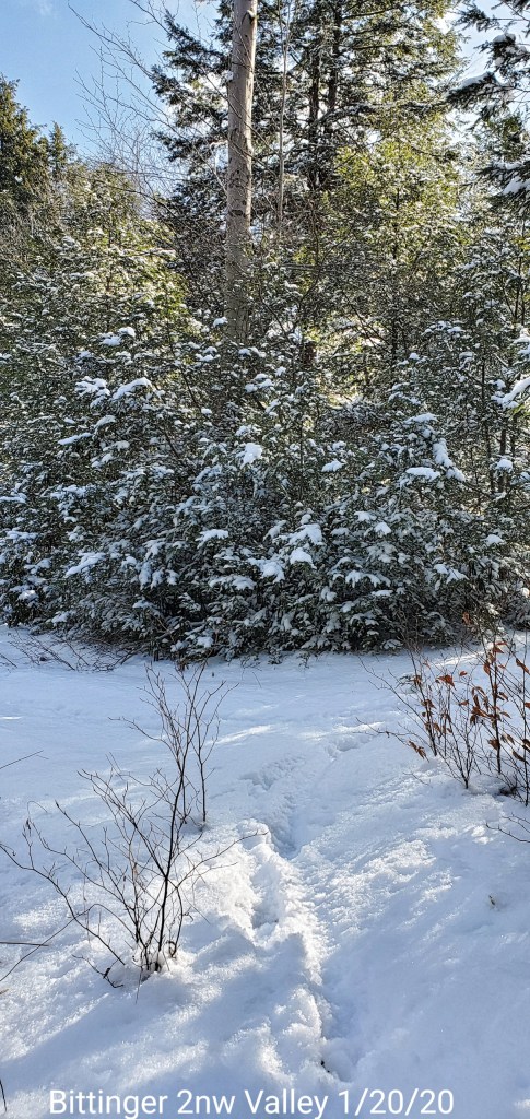
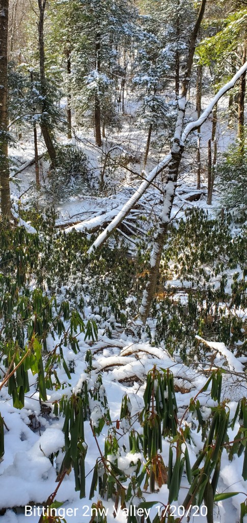
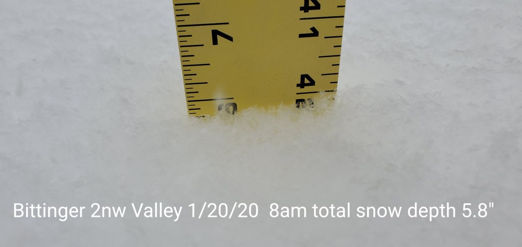
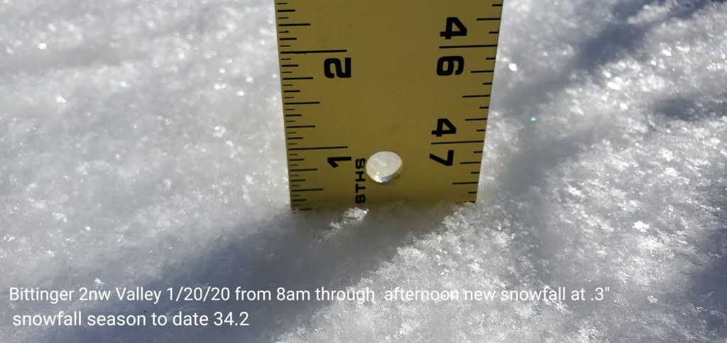
Bittinger 2nw Valley
MIN[9.6]—MAX[18.9]—AVERAGE MEAN[14.2]—TRUE AVERAGE[13.6]
New snowfall through 8am 4.2″, through early afternoon .3″ new
Snowfall season to date 34.2″
Snow depth at 8am- 5.8″. Due to the high ratio fluff, despite very cold and still light fluff falling, these numbers will reduce rapidly.


Garrett College
MIN[9.8]—MAX[18.3]—AVERAGE MEAN[14.0]—TRUE AVERAGE[13.5]—PRECIP[F]

Canaan Heights/Davis 3SE
MIN[6.0]—MAX[14.0]—AVERAGE MEAN[10.0]—PRECIP[.11]
New snowfall 3.1″
Snow depth 3″
Season to date total snowfall 45.8″
Comments by Dave Lesher at http://data.canaanmtnsnow.com
Climate Reference Network Canaan
Cabin Mt at Bald Knob
MIN[2.5]—MAX[11.3]—AVERAGE MEAN[6.9]—TRUE AVERAGE[6.1]—PRECIP[F]

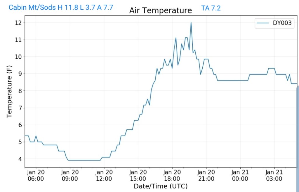
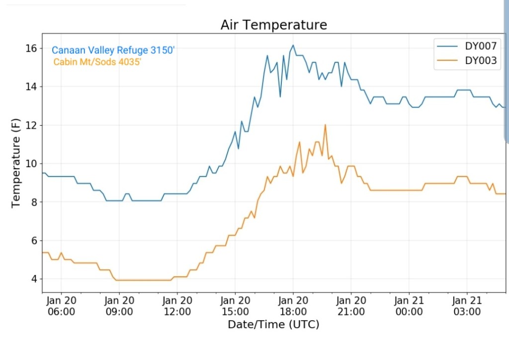
Cabin Mt-Western Sods
MIN[3.7]—MAX[11.8]—AVERAGE MEAN[7.7]—TRUE AVERAGE[7.2]—PRECIP[F]
Spruce Knob
MIN[0.9]—MAX[9.9]—AVERAGE MEAN[5.4]—TRUE AVERAGE[4.4]—PRECIP[F]

Snowshoe
MIN[1.6]—MAX[13.8]—AVERAGE MEAN[7.7]—TRUE AVERAGE[5.8]

Canaan Valley Refuge
MIN[7.9]—MAX[16.2]—AVERAGE MEAN[12.0]—TRUE AVERAGE[11.7]

7Springs
MIN[7.7]—MAX[15.5]—AVERAGE MEAN[11.6]—TRUE AVERAGE[11.3]

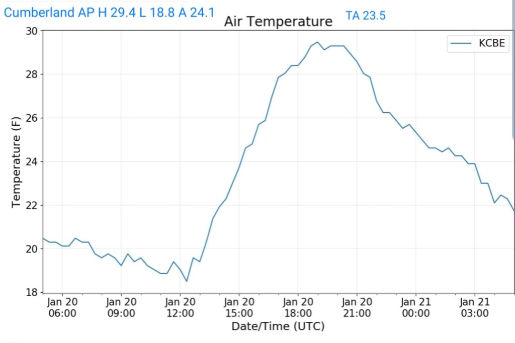
Cumberland Airport
MIN[18.8]—MAX[29.4]—AVERAGE MEAN[24.1]—TRUE AVERAGE[23.5]
The Valley vs Cabin Mt
Canaan area temps
Comparison view

RTMA
Radar
Satellite
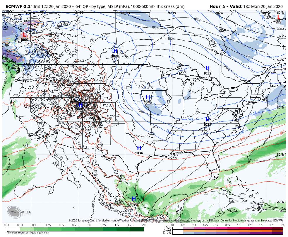
Flow
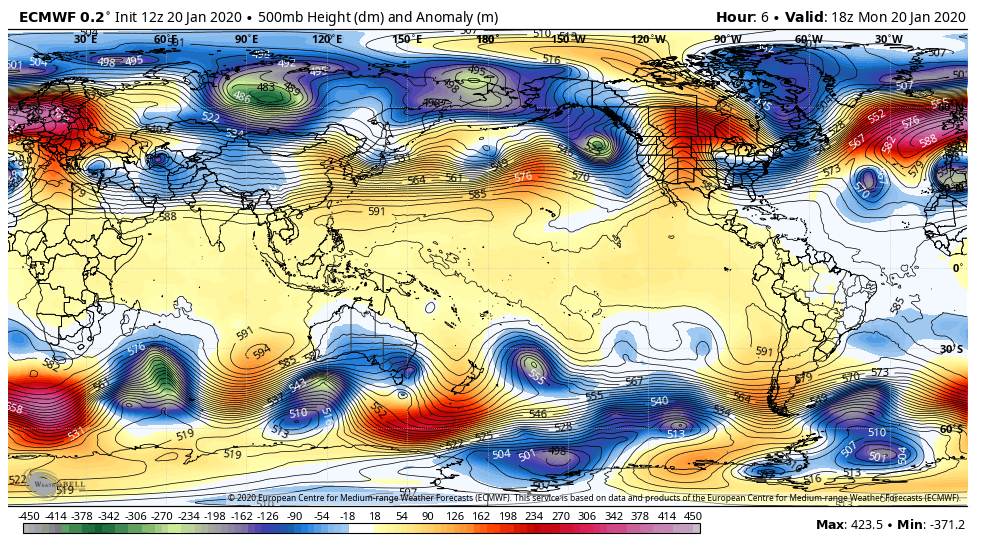
Surface features and 500mb height anomalies and flow
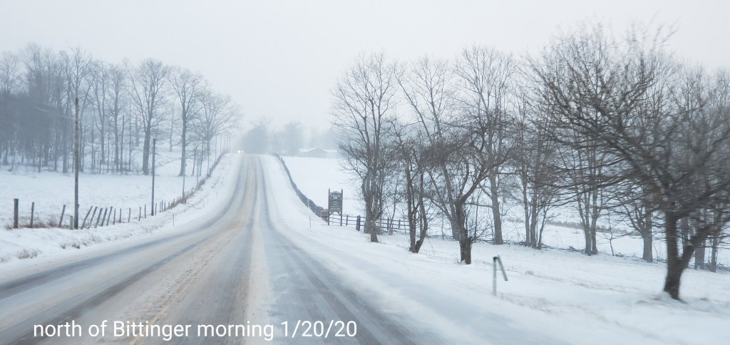
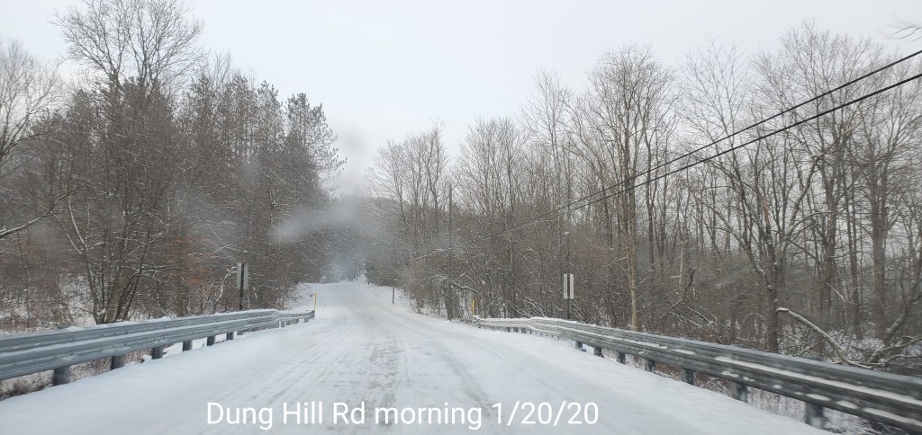
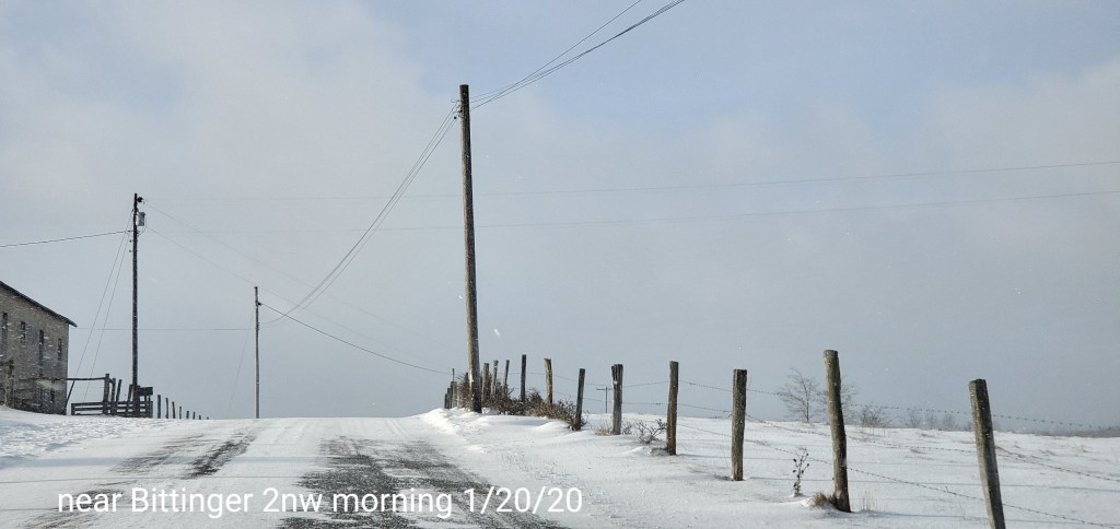
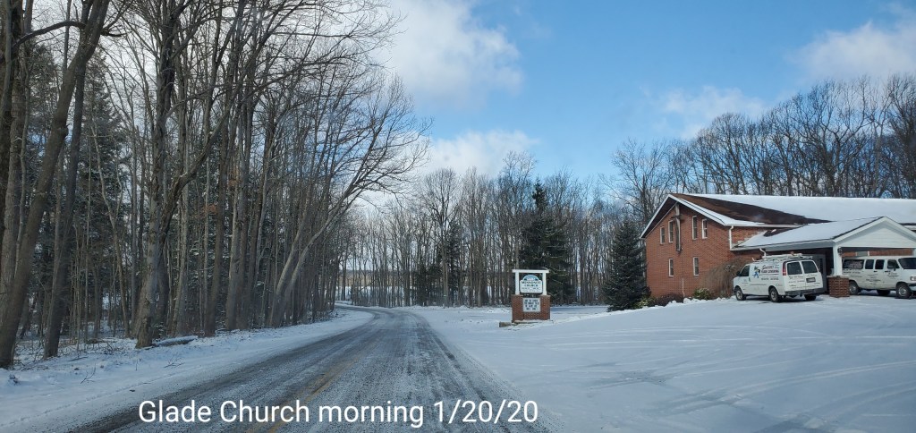
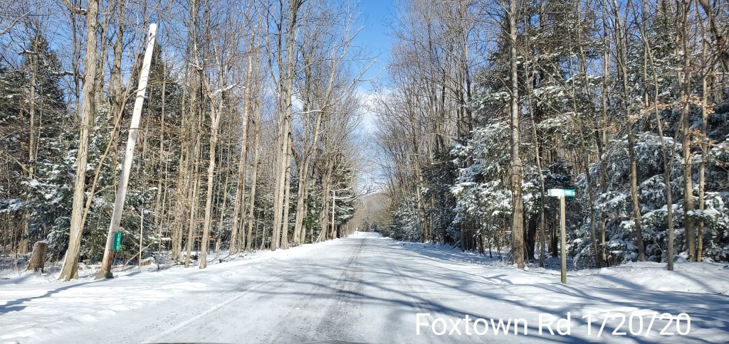
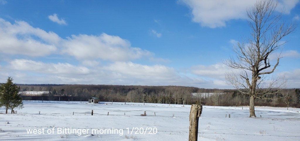
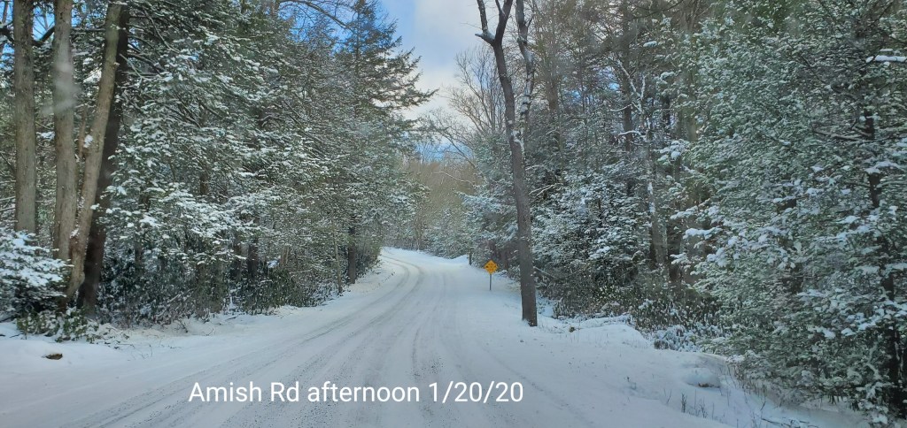
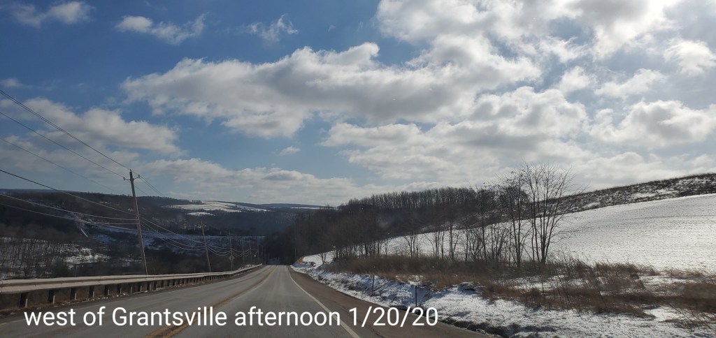
Pics today