January 21, 2020
Jan 21(Tues)
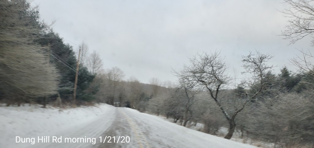
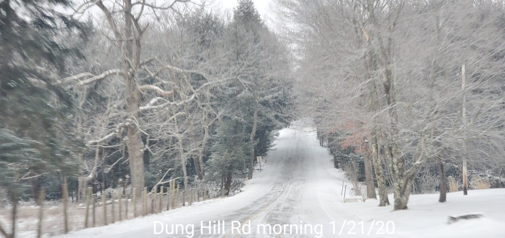
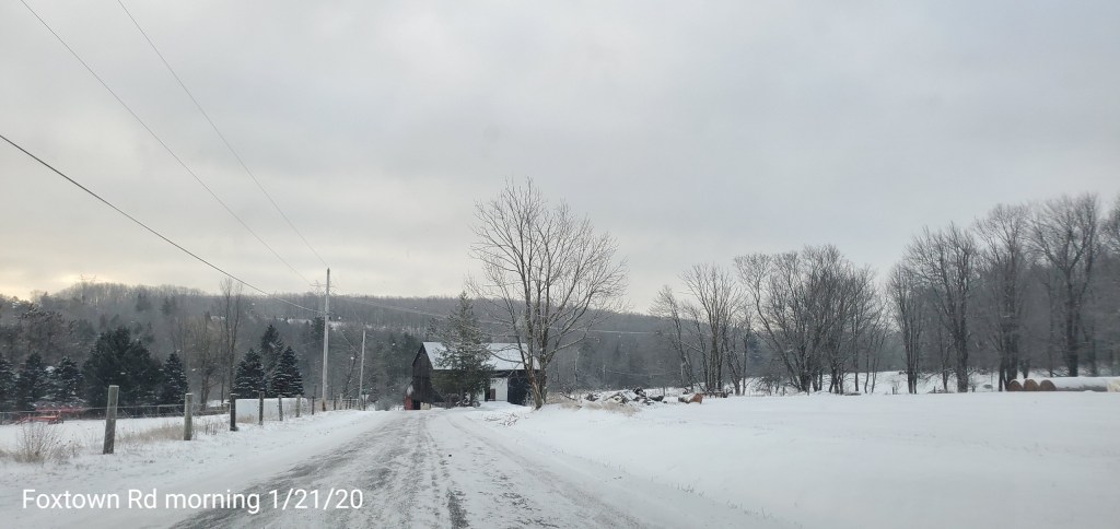
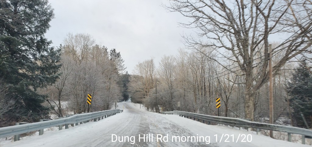
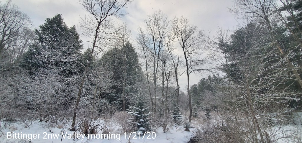
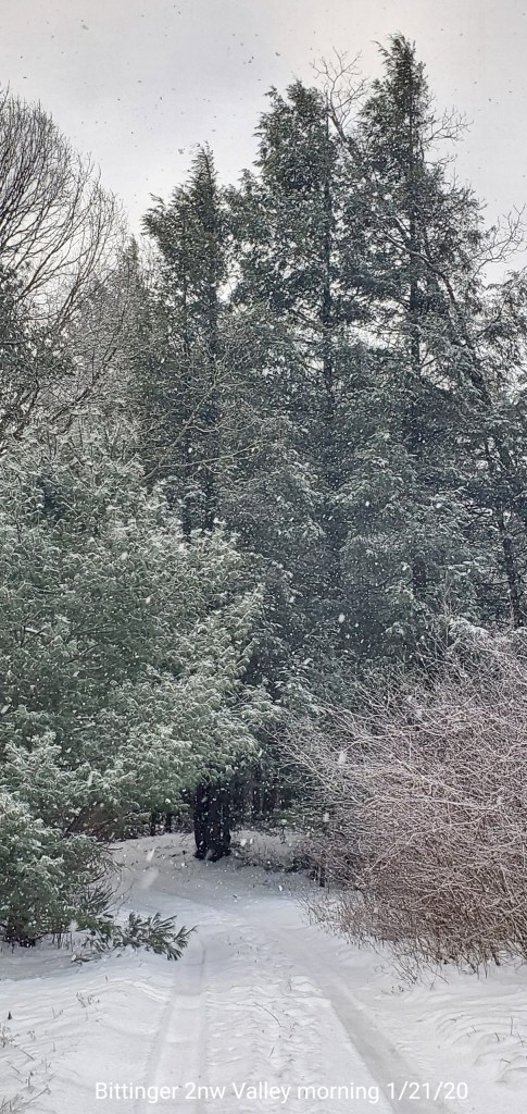
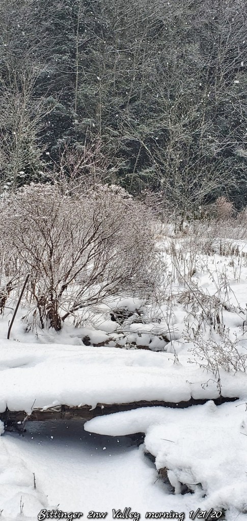
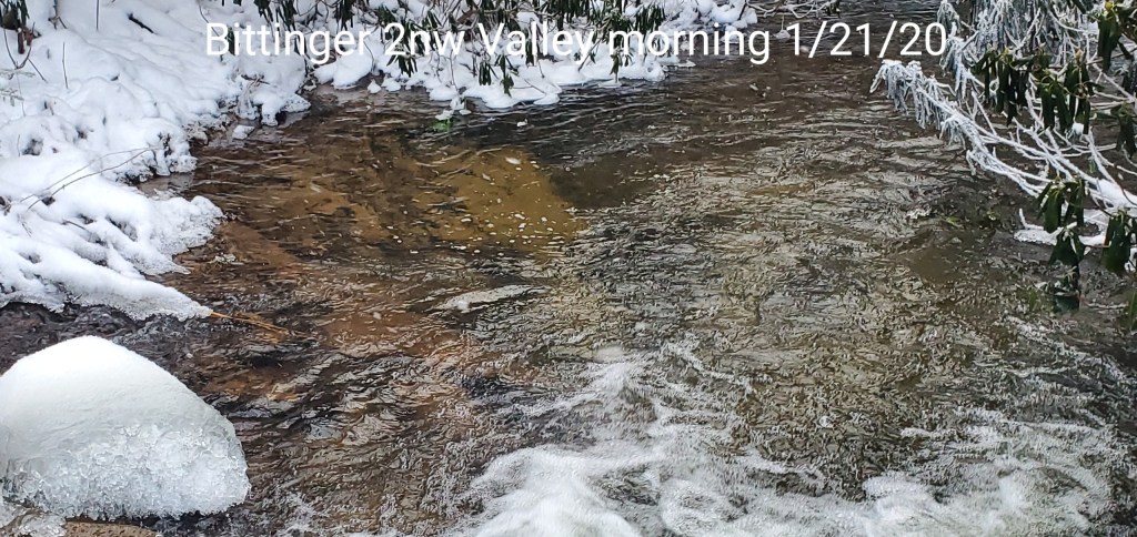
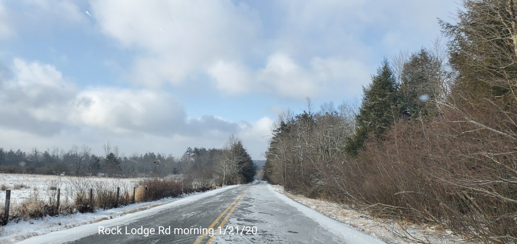
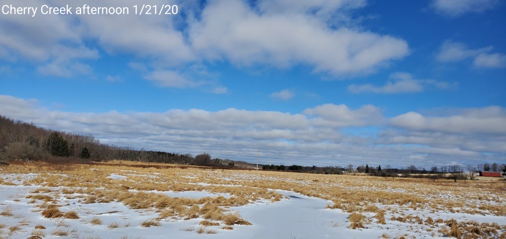
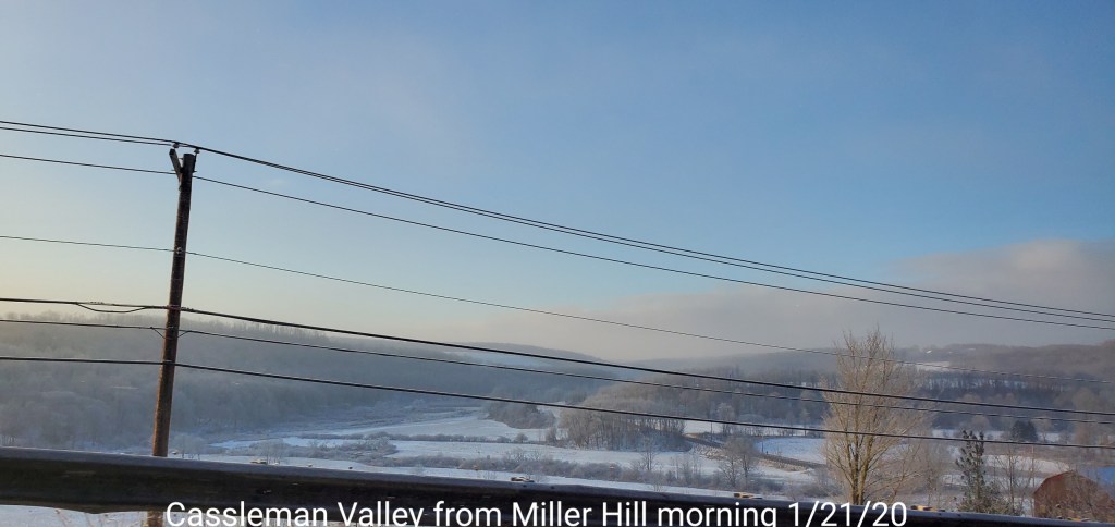
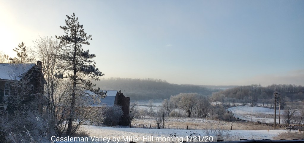
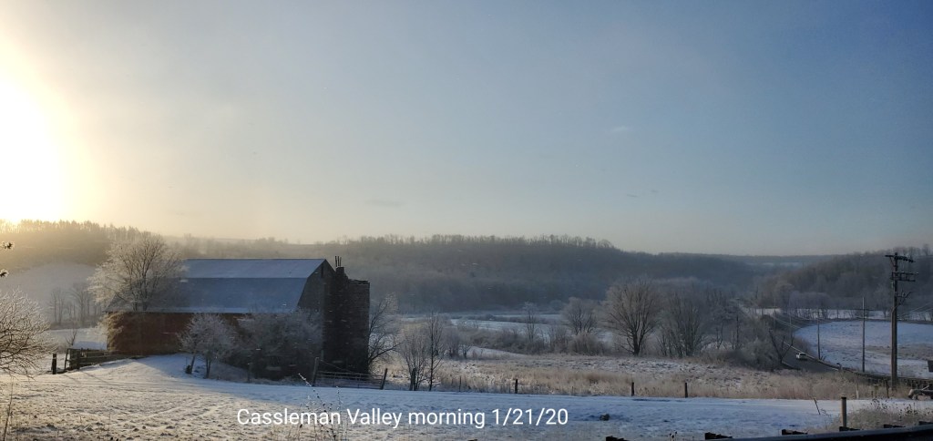
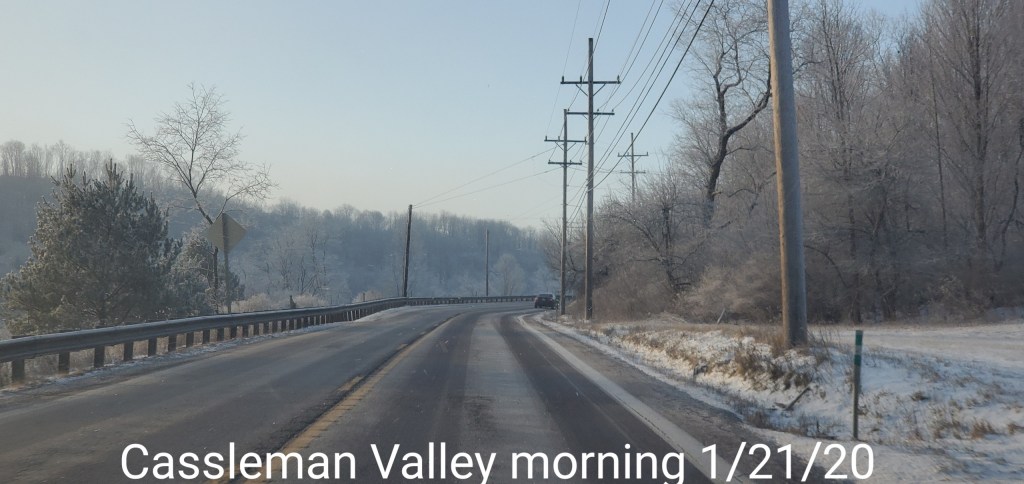
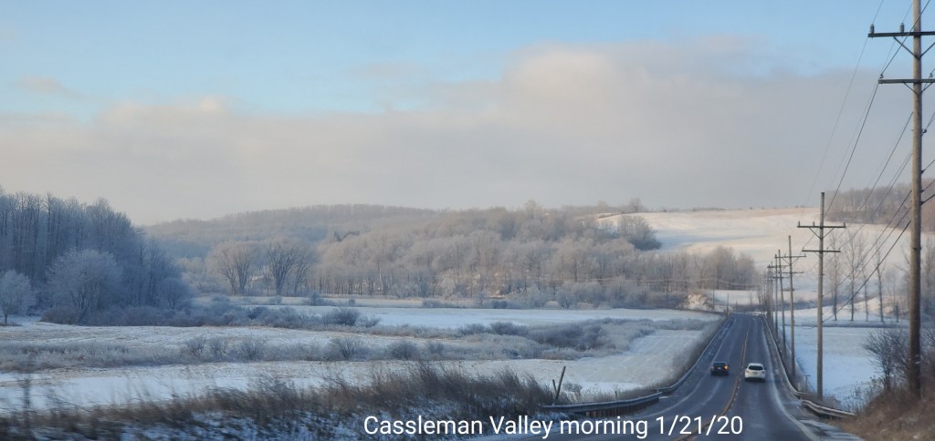
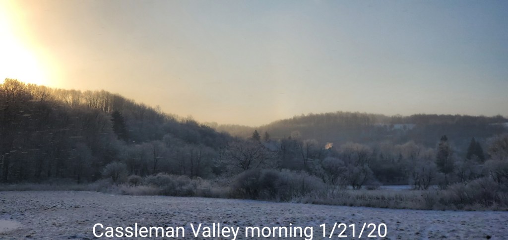
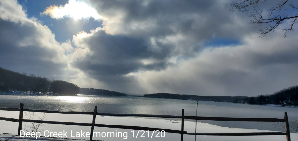
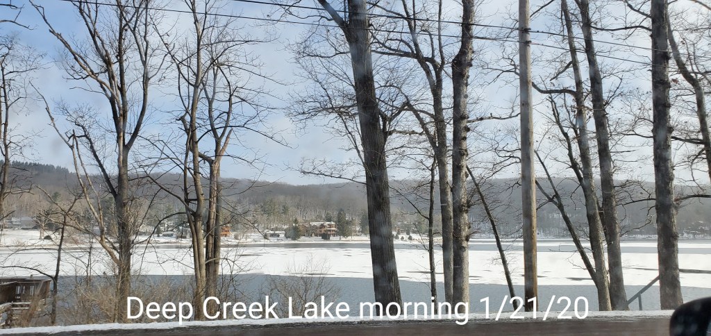
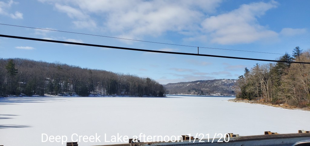
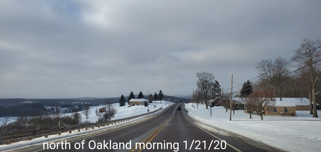
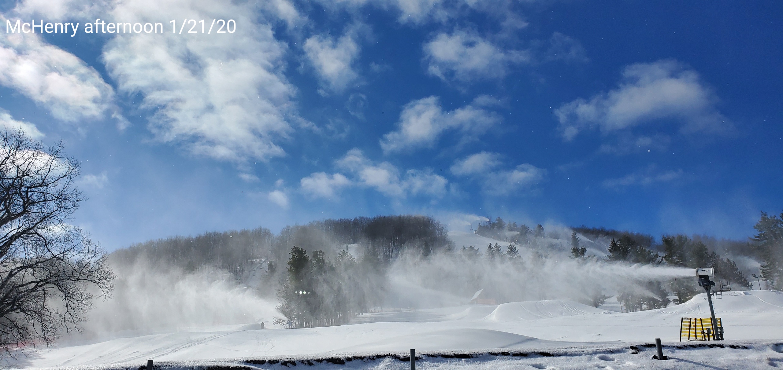
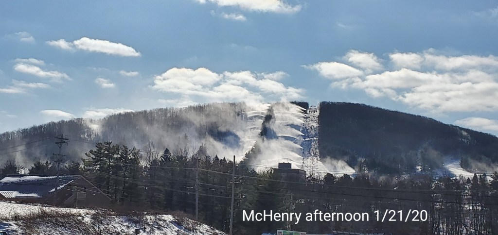
Morning light snow, flurries lingering in spots while other spots saw clear blue skies
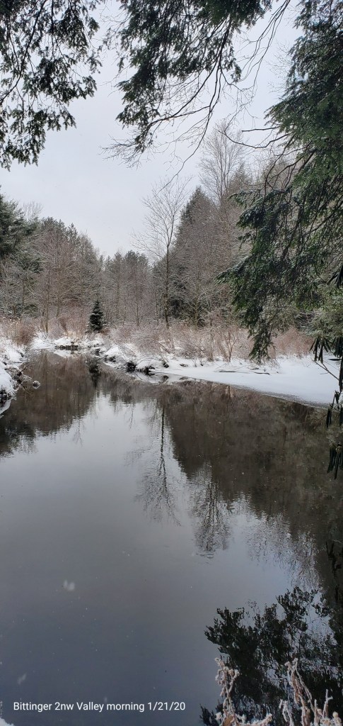
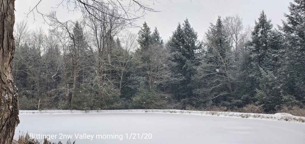
Bittinger 2nw Valley
MIN[0.0]—MAX[21.4]—AVERAGE MEAN[10.7]—TRUE AVERAGE[12.5]
New snowfall of .5″ through 8 a.m with the steadiest light fluff just prior to 8 and continued through late morning with an additional trace.
Snow depth average 4-5″- this light fluff breaks down fast.
Snowfall season to date 34.7″


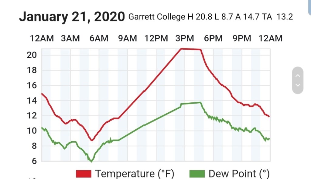
Garrett College
MIN[8.7]—MAX[20.8]—AVERAGE MEAN[14.7]—TRUE AVERAGE[13.2]
Canaan Heights/Davis 3SE
MIN[6.0]—MAX[19.0]—AVERAGE MEAN[12.5]—PRECIP[.01]
New snowfall .4″
Snow depth 3″
Snowfall season to date 46.2″
Comments by Dave Lesher at

Climate Reference Network Canaan
Cabin Mt at Bald Knob
MIN[1.8]—MAX[16.7]—AVERAGE MEAN[9.2]—TRUE AVERAGE[8.6]—PRECIP[F]

Cabin Mt-Western Sods
MIN[3.7]—MAX[16.9]—AVERAGE MEAN[10.3]—TRUE AVERAGE[9.2]—PRECIP[F]

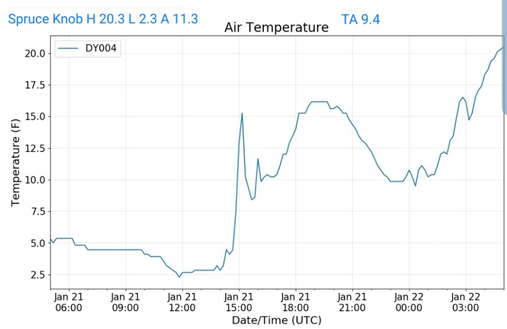
Spruce Knob
MIN[2.3]—MAX[20.3]—AVERAGE MEAN[11.3]—TRUE AVERAGE[9.4]—PRECIP[F]
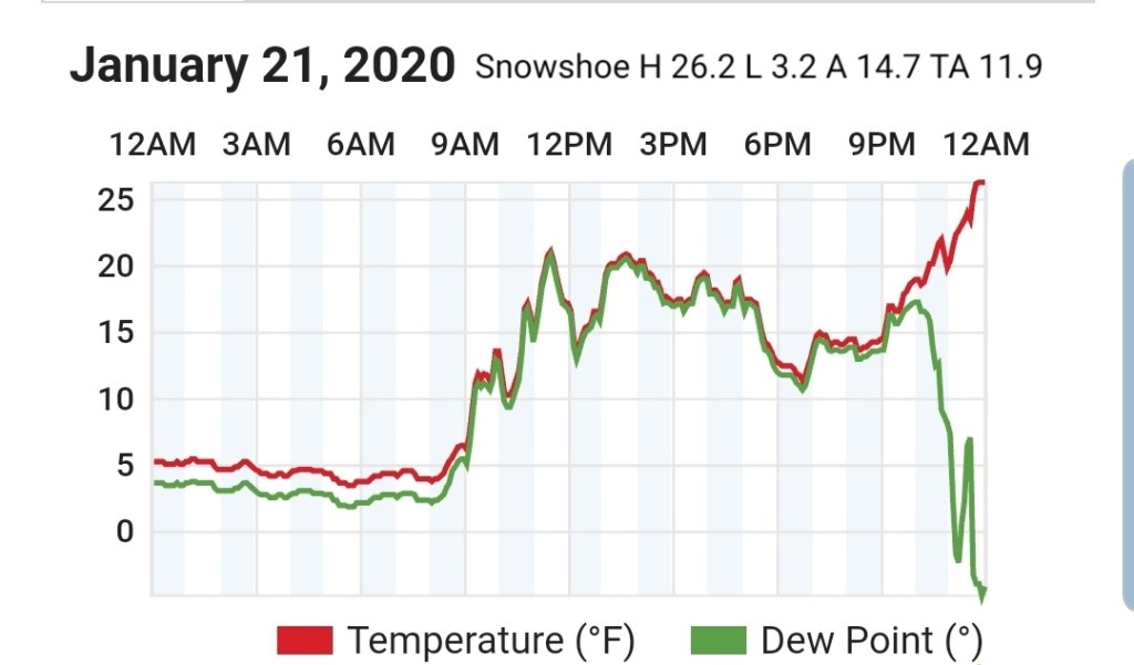
Snowshoe
MIN[3.2]—MAX[26.2]—AVERAGE MEAN[14.7]—TRUE AVERAGE[11.9]
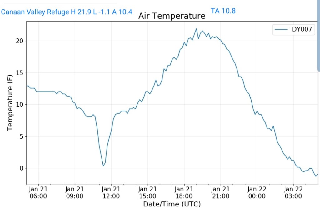
Canaan Valley Refuge
MIN[-1.1]—MAX[21.9]—AVERAGE MEAN[10.4]—TRUE AVERAGE[10.8]
7Springs
MIN[8.2]—MAX[18.9]—AVERAGE MEAN[13.5]—TRUE AVERAGE[12.2]

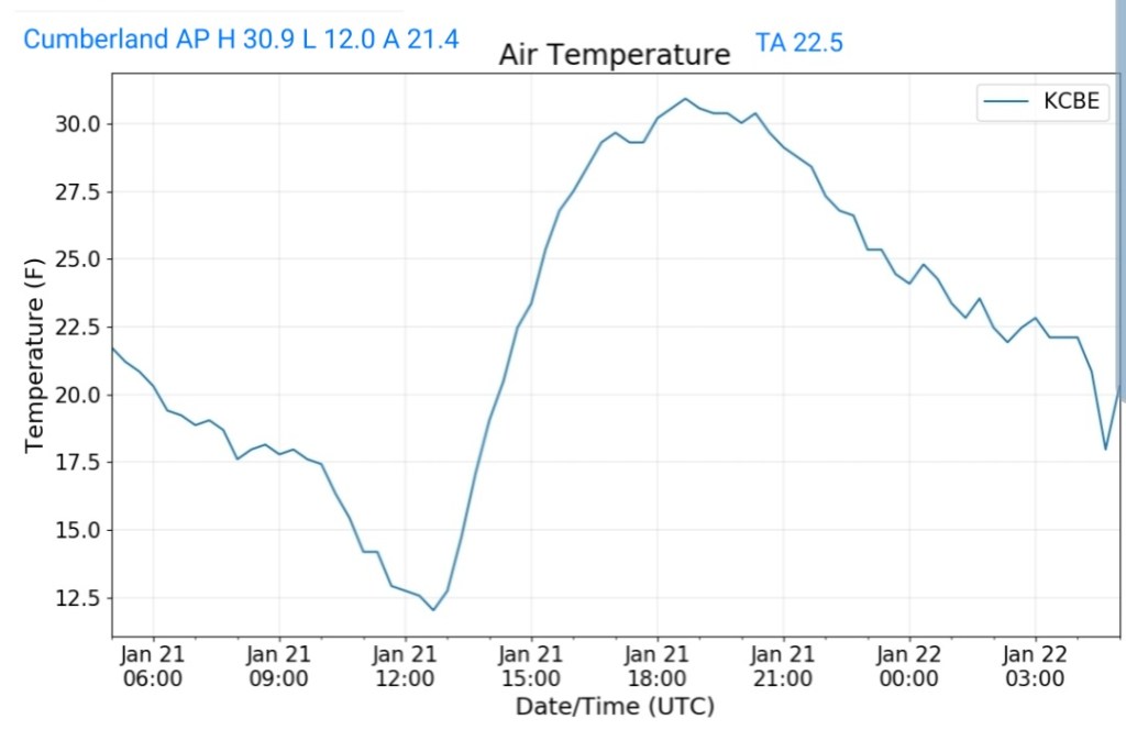
Cumberland Airport
MIN[12.0]—MAX[30.9]—AVERAGE MEAN[21.4]—TRUE AVERAGE[22.5]
The Valley vs Cabin Mt
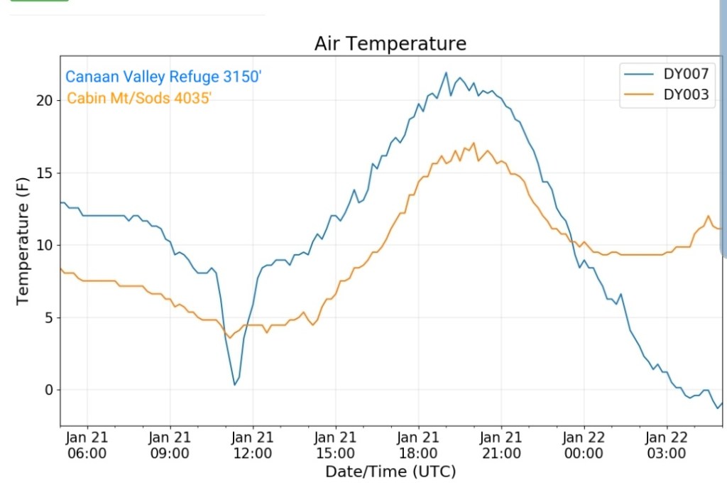
Canaan Area Temps
Comparison view

RTMA
Radar
Satellite
Flow
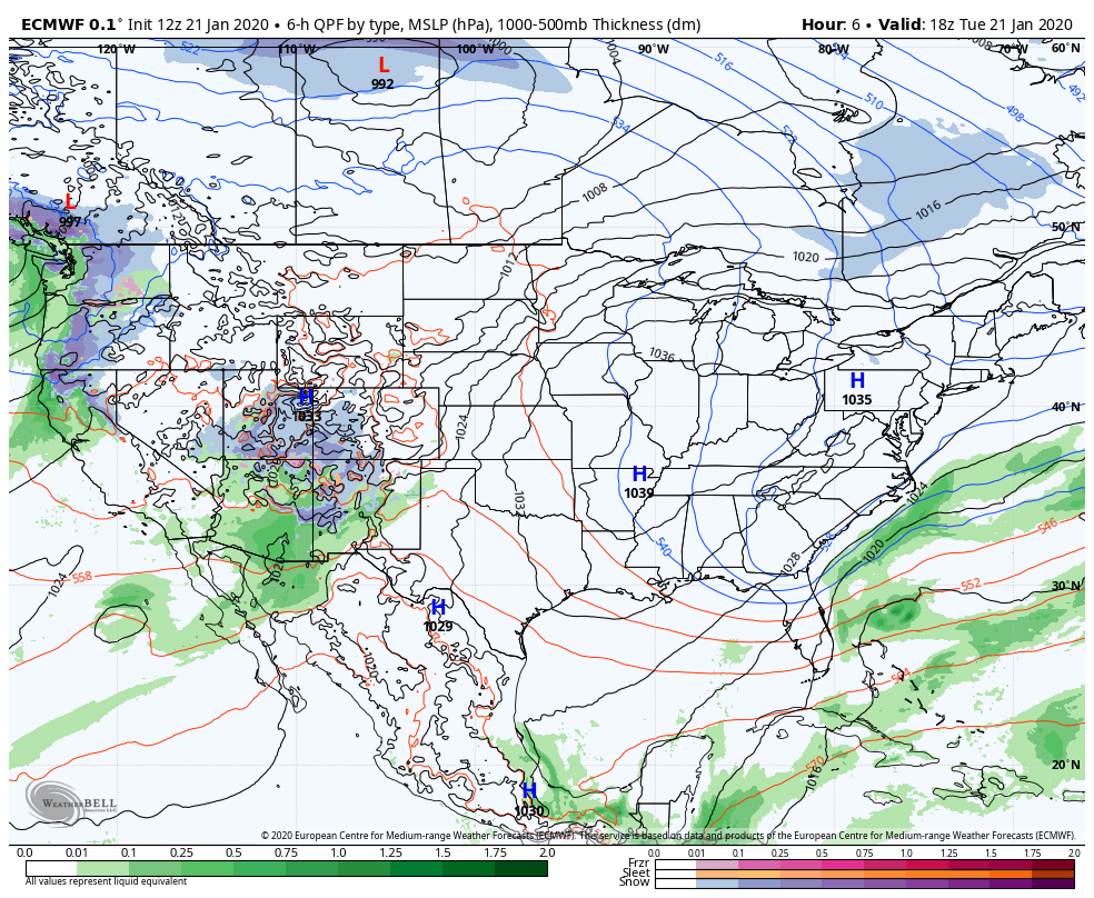
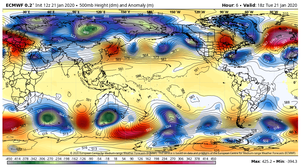
Surface features and 500mb height anomalies and flow
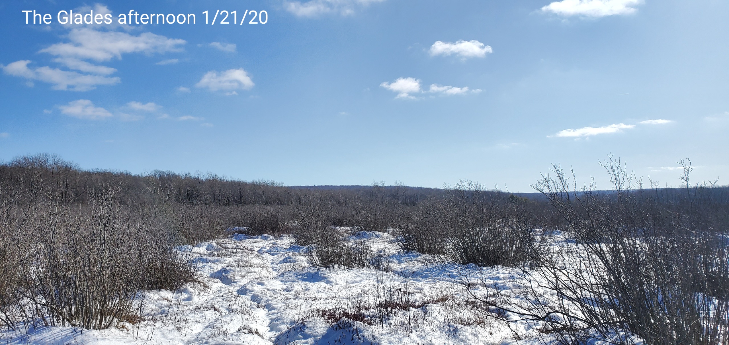
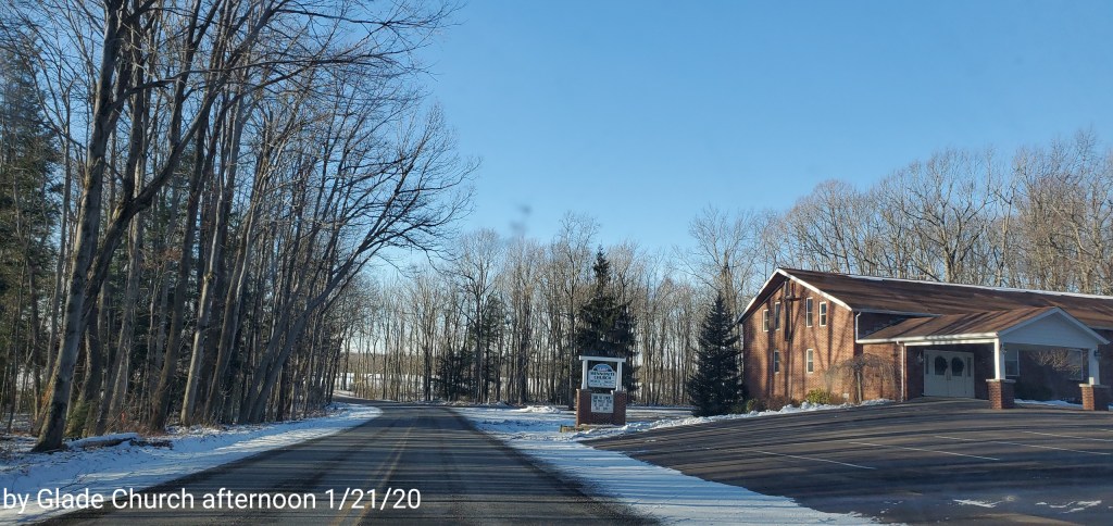
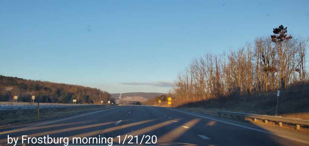
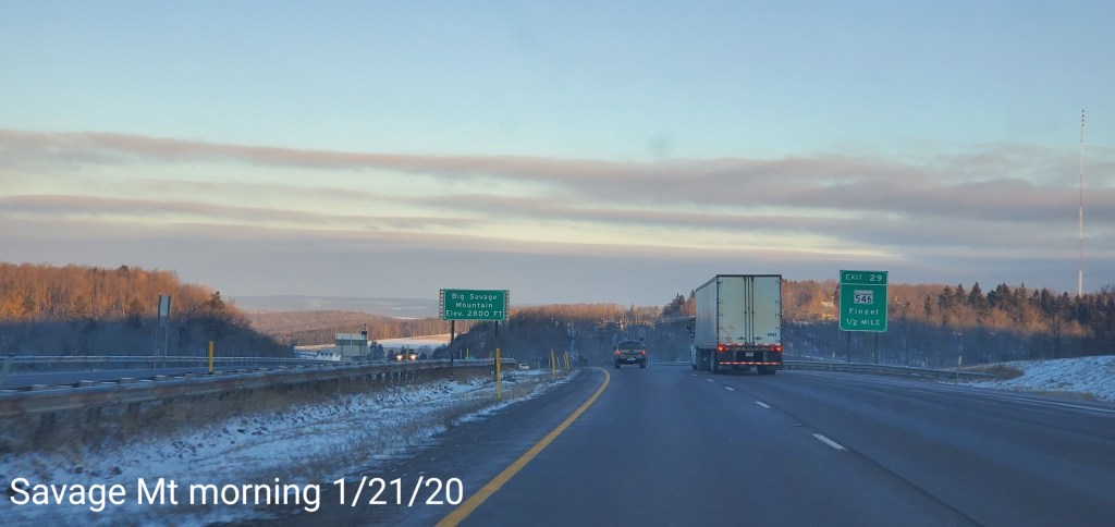
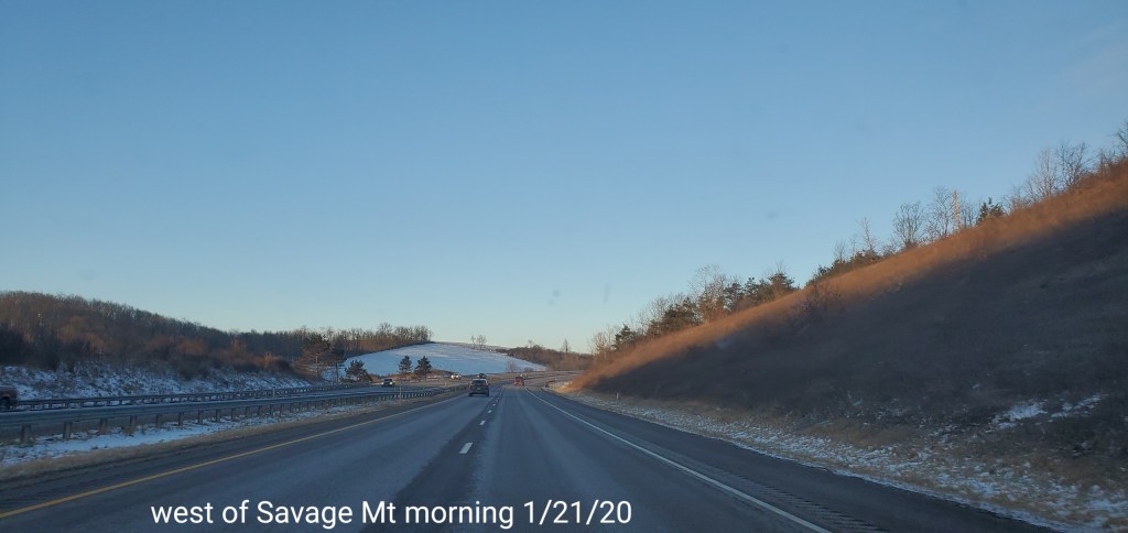
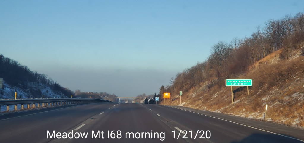
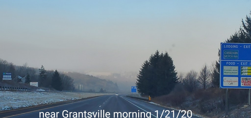
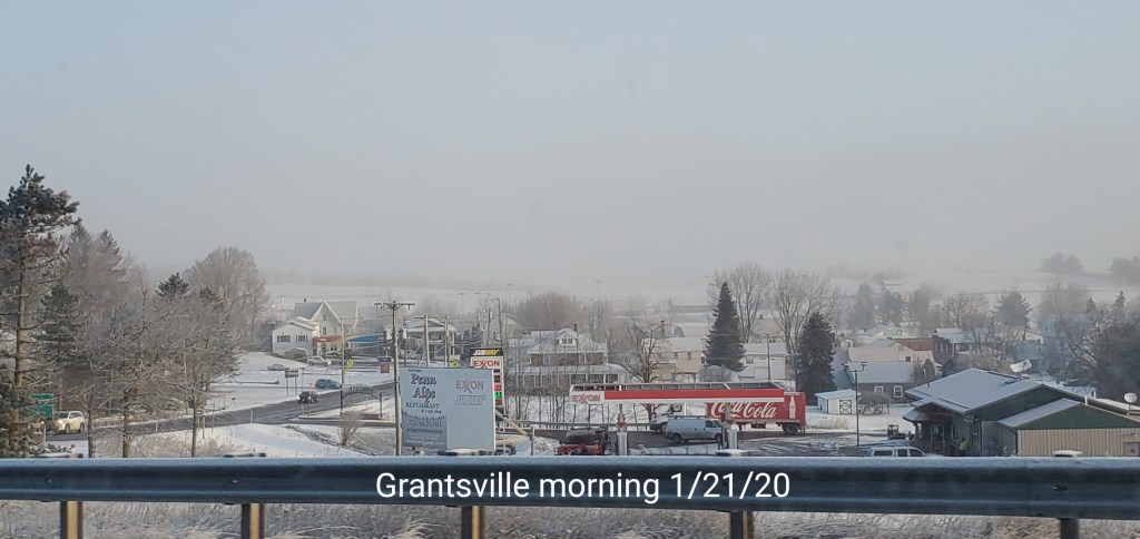
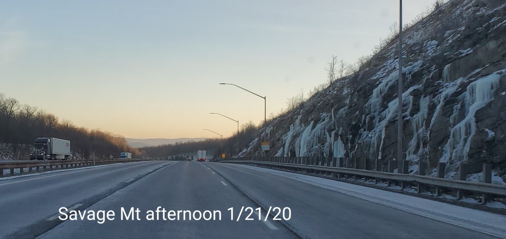
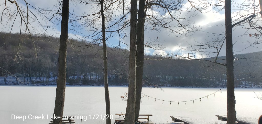
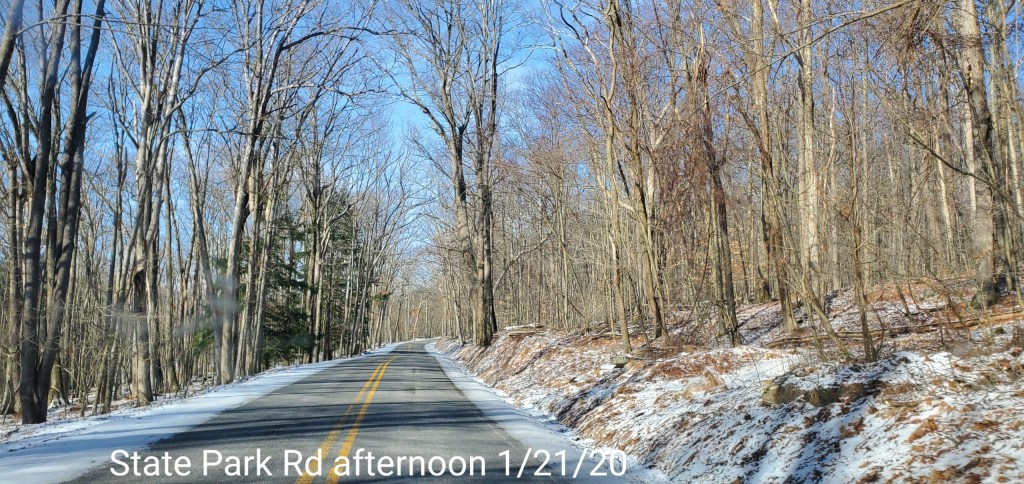
Pics today