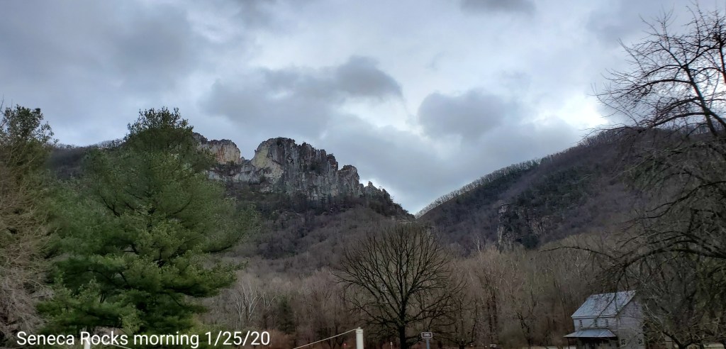
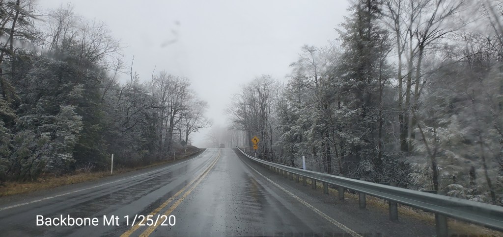
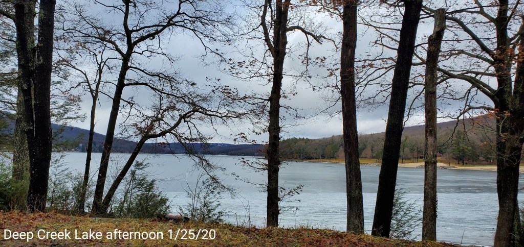
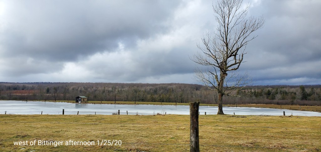
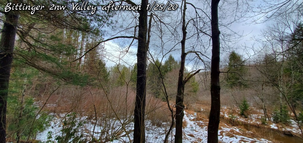
Jan 25(Sat)
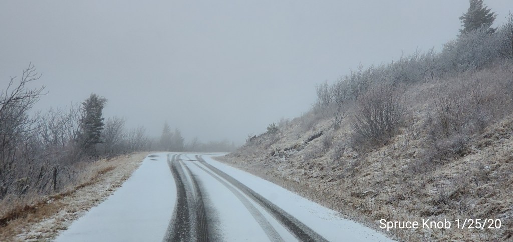
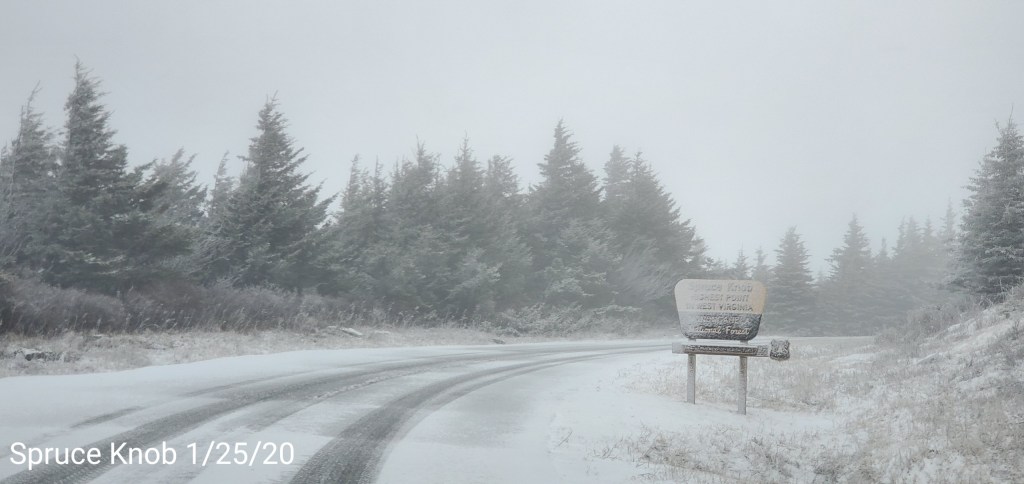
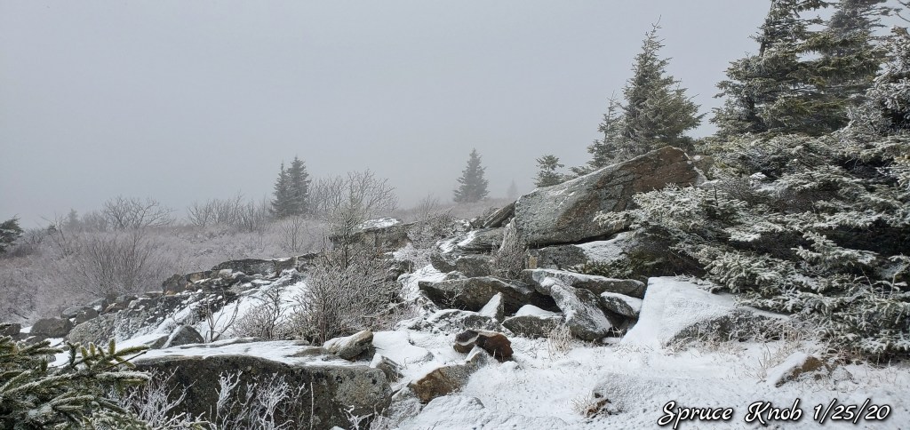
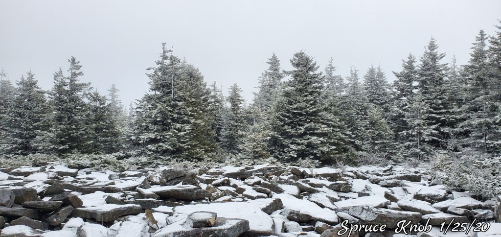
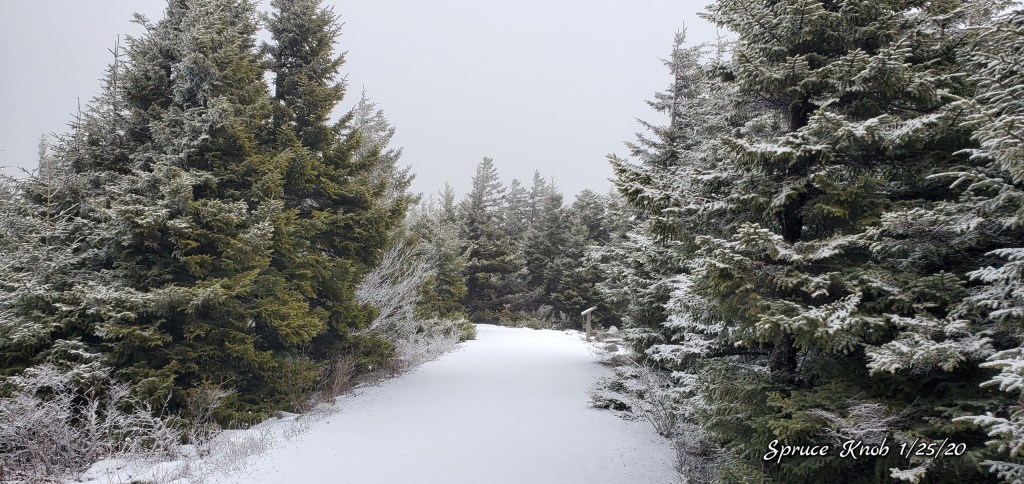
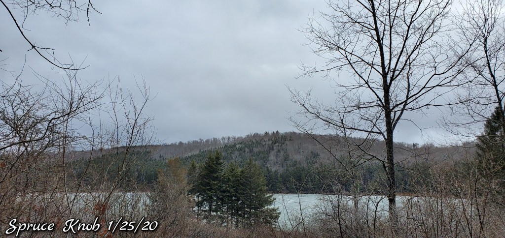
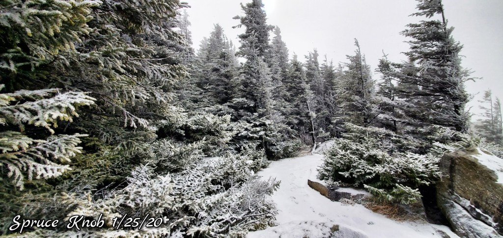
Cloudy, turning colder. Some snow across the Wv high ground. Mainly 3500-3800 and up. Approx 1-1.5 on top of Spruce of new snow. Suspicions are a period of snow occueed prior to midnight last night 10pm to 11:30 period. Showers below 3500 early morning and that gave way to some light snowshowers region wide afternoon. Aside from the high ground new snow, from my travels, no area had any leftover snow cover and I had no decent coverage until I returned to Bittinger 2nw Valley.
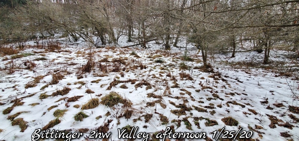
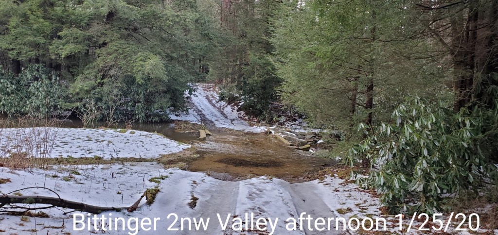
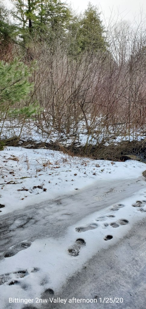
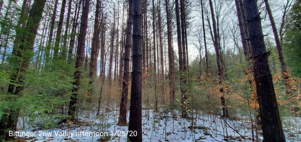
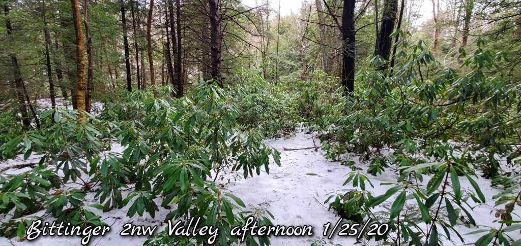
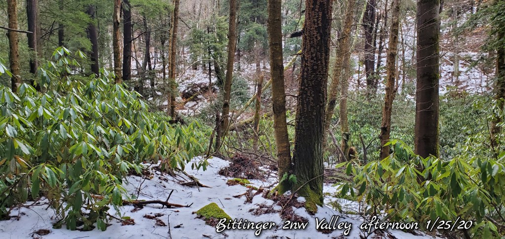
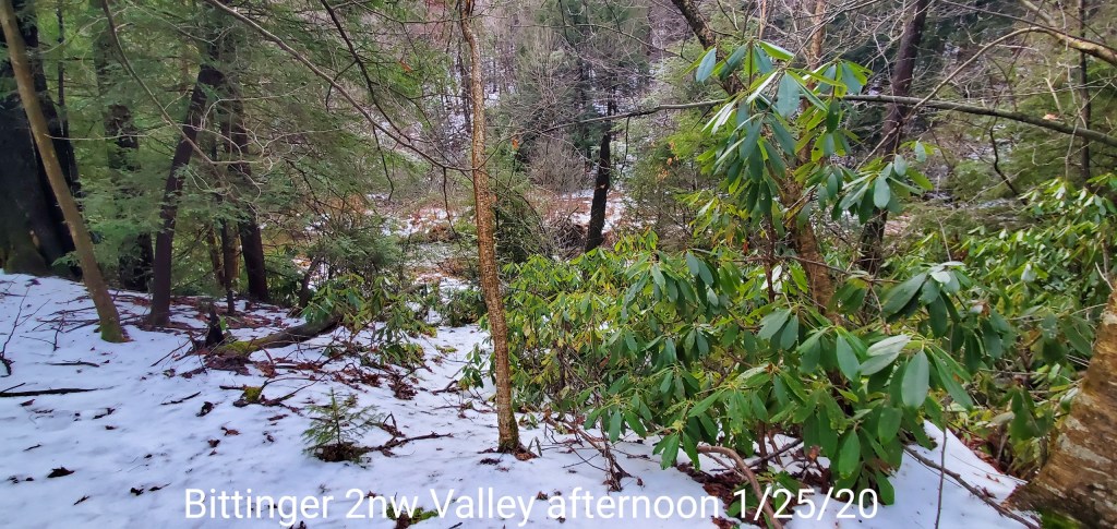
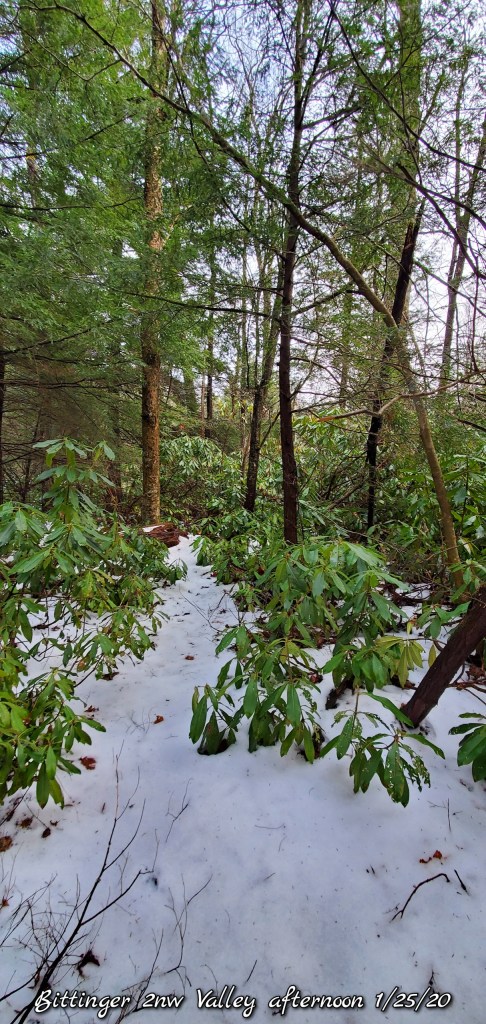
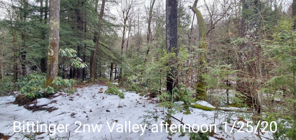
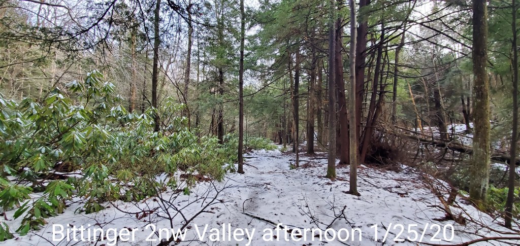
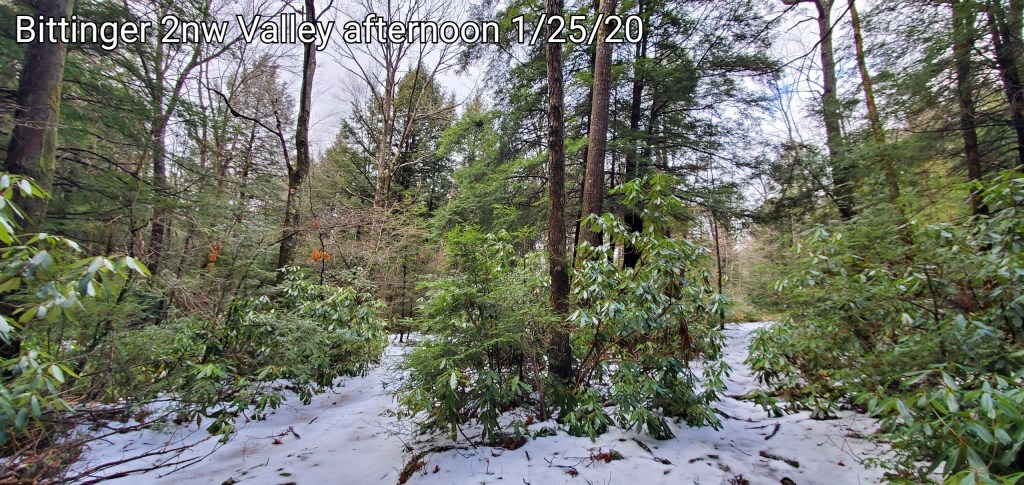
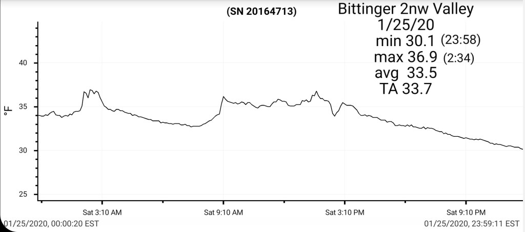
Bittinger 2nw Valley
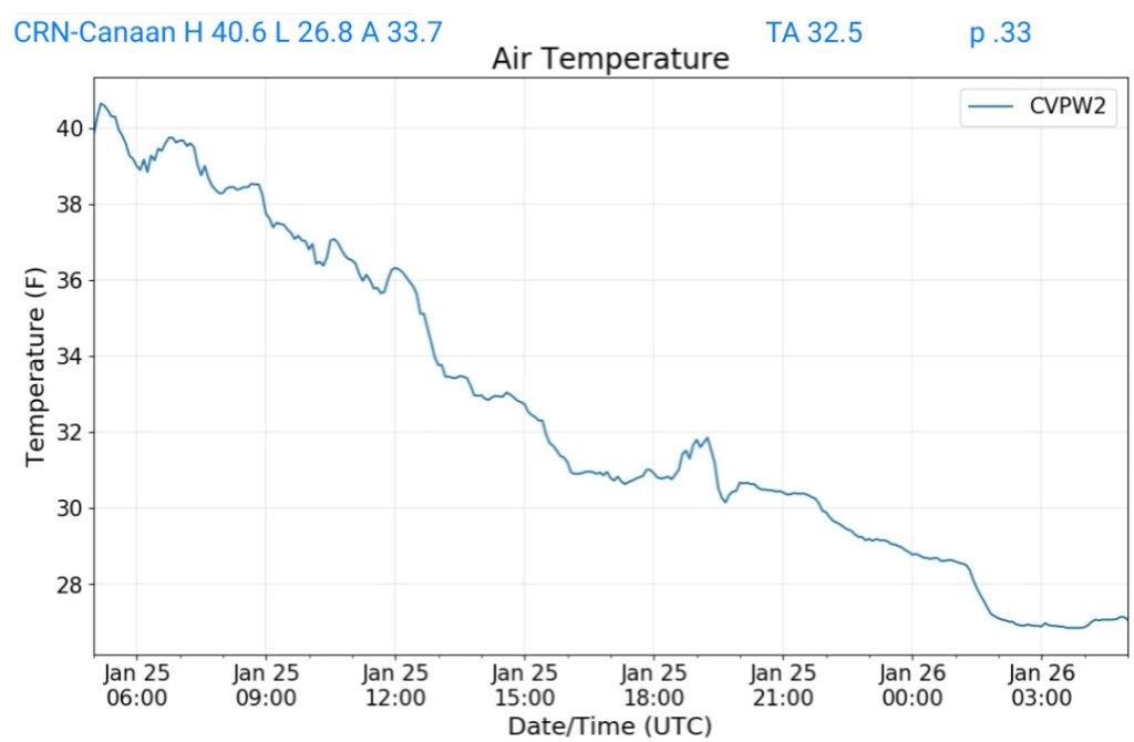
MIN[30.1]—MAX[36.9]—AVERAGE MEAN[33.5]—TRUE AVERAGE[33.7]—PRECIP[.85]7am
Trace of snow after nightfall
Snowfall season to date 34.7″
Garrett College
MIN[29.7]—MAX[38.7]—AVERAGE MEAN[34.2]—TRUE AVERAGE[35.0]—PRECIP[.35]

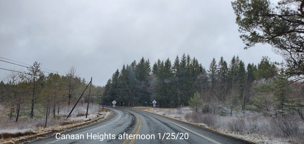
Canaan Heights/Davis 3SE
MIN[26.0]—MAX[37.0]—AVERAGE MEAN[31.5]—PRECIP[.98]7am
Snowfall season to date 46.2″, new accumulation will be added in morning by Dave L.
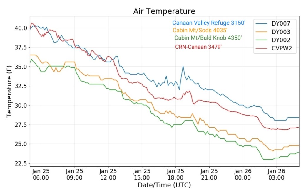
Climate Reference Network Canaan
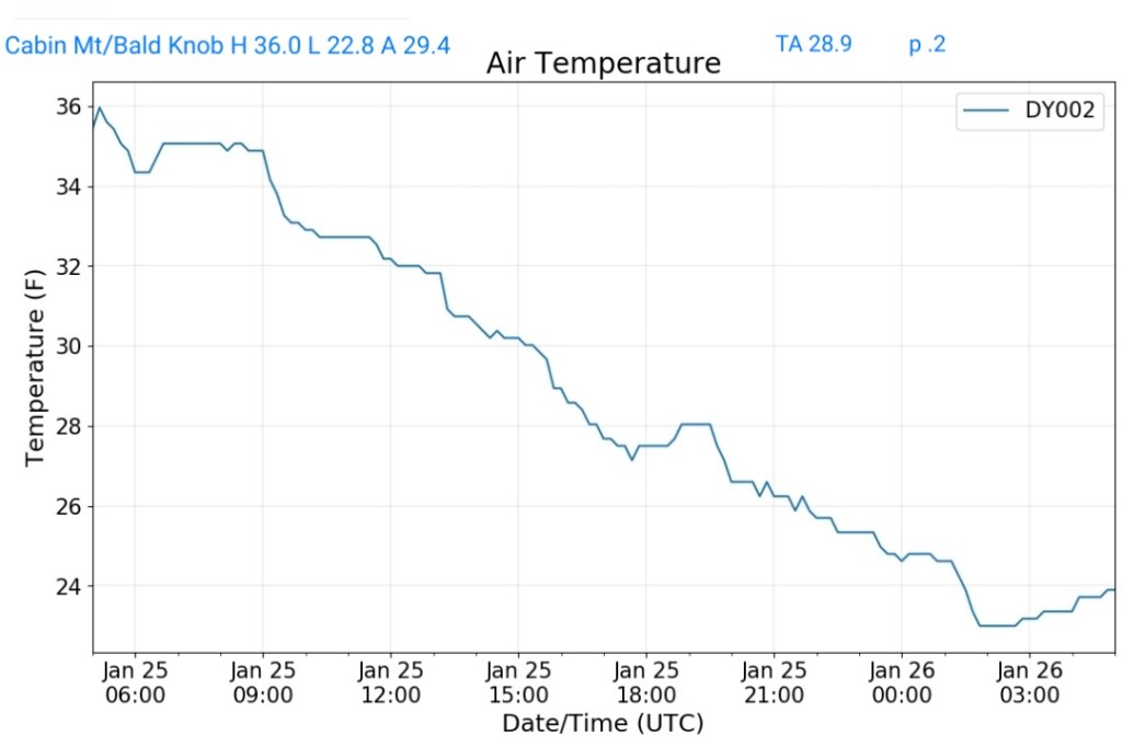
Cabin Mt at Bald Knob
MIN[22.8]—MAX[36.0]—AVERAGE MEAN[29.4]—TRUE AVERAGE[28.9]—PRECIP[.2] *f
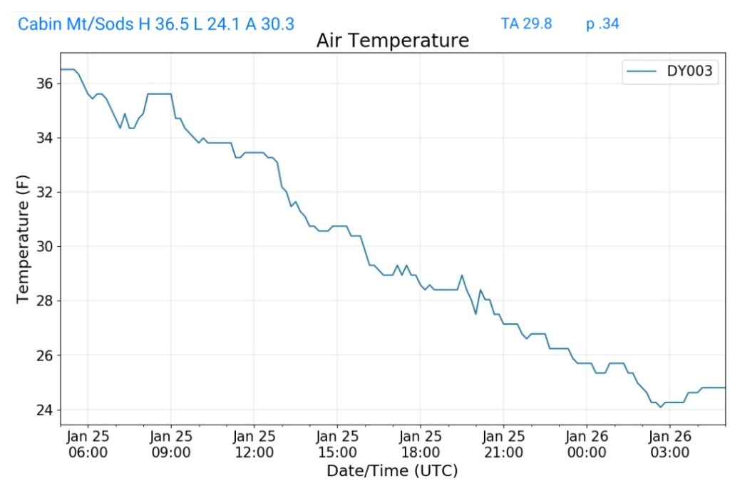
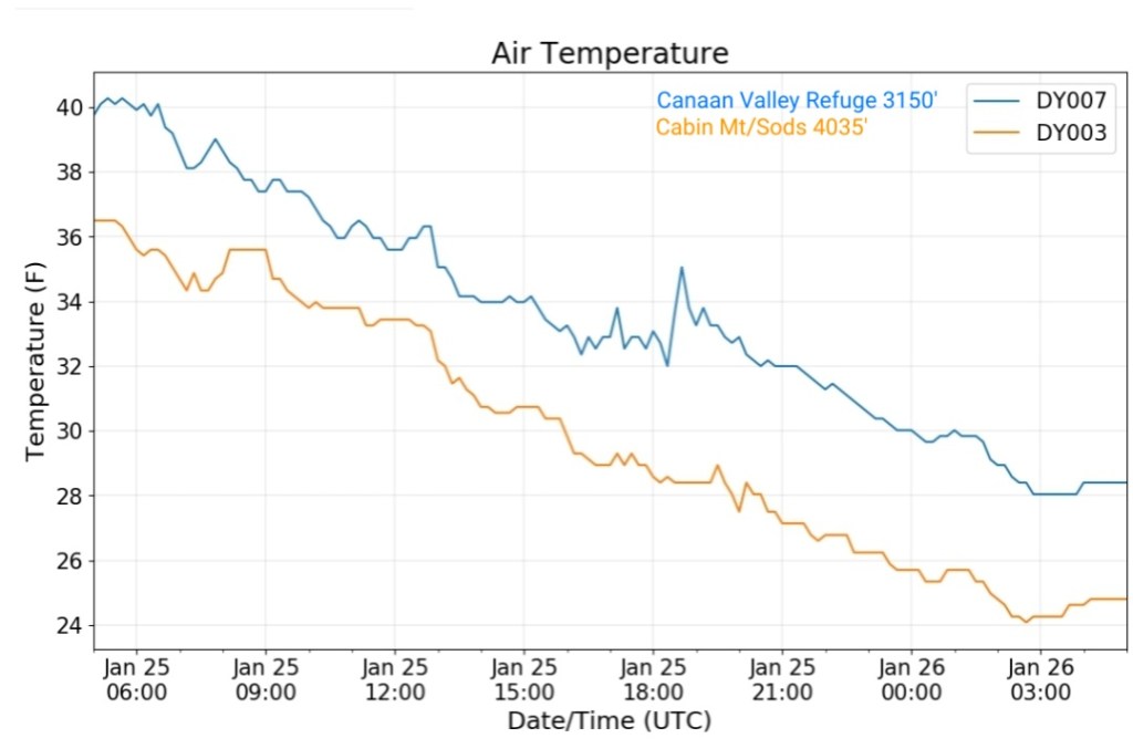
Cabin Mt-Western Sods
MIN[24.1]—MAX[36.5]—AVERAGE MEAN[30.3]—TRUE AVERAGE[29.8]—PRECIP[.34]
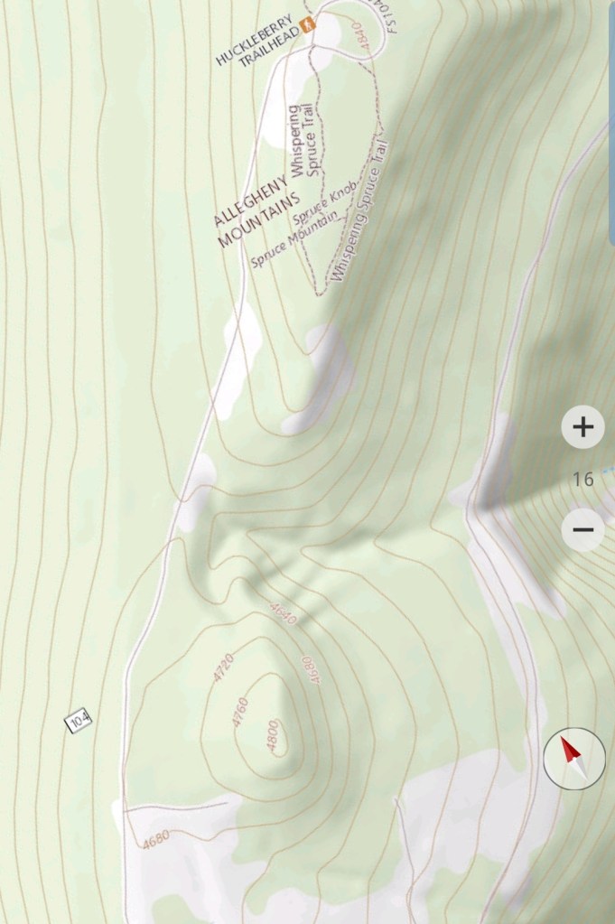
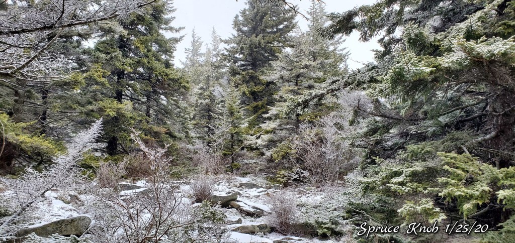
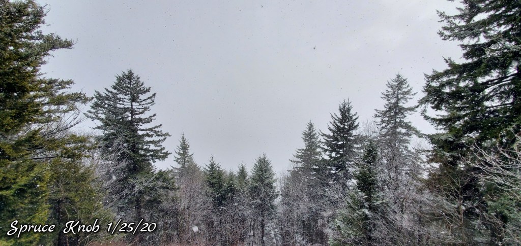
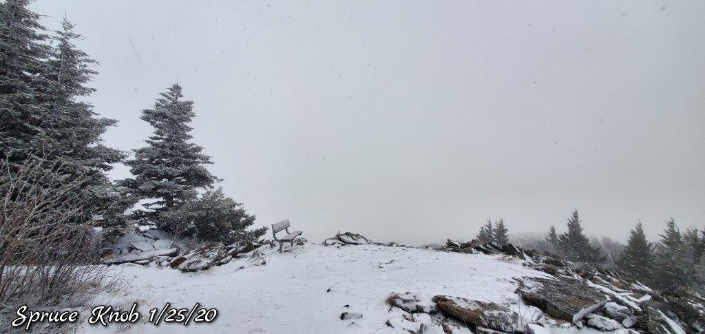
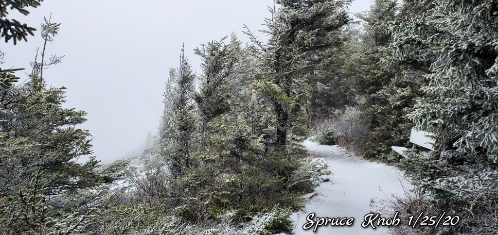
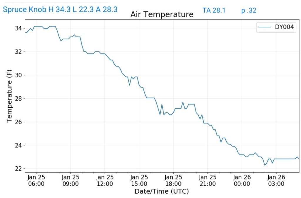
Spruce Knob
MIN[22.3]—MAX[34.3]—AVERAGE MEAN[28.3]—TRUE AVERAGE[28.1]—PRECIP[.32]
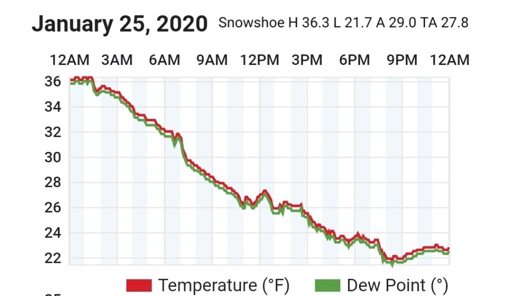
Snowshoe
MIN[21.7]—MAX[36.3]—AVERAGE MEAN[29.0]—TRUE AVERAGE [27.8]
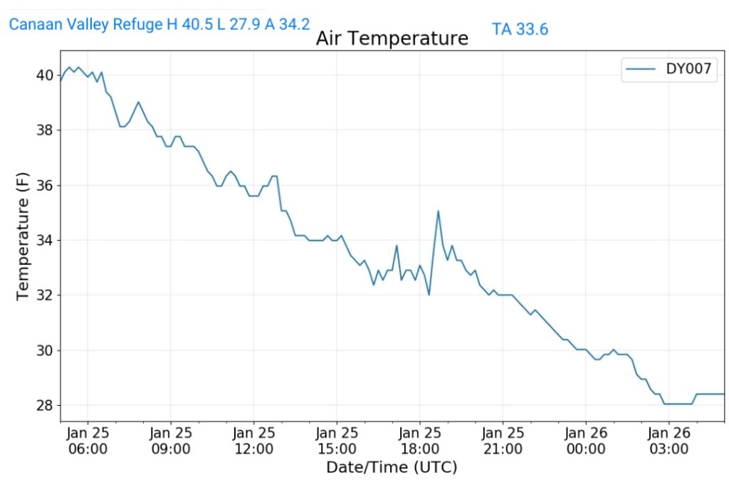
Canaan Valley Refuge
MIN[27.9]—MAX[40.5]—AVERAGE MEAN[34.2]—TRUE AVERAGE[33.6]
7Springs
MIN[27.3]—MAX[37.5]—AVERAGE MEAN[32.4]—TRUE AVERAGE[32.8]

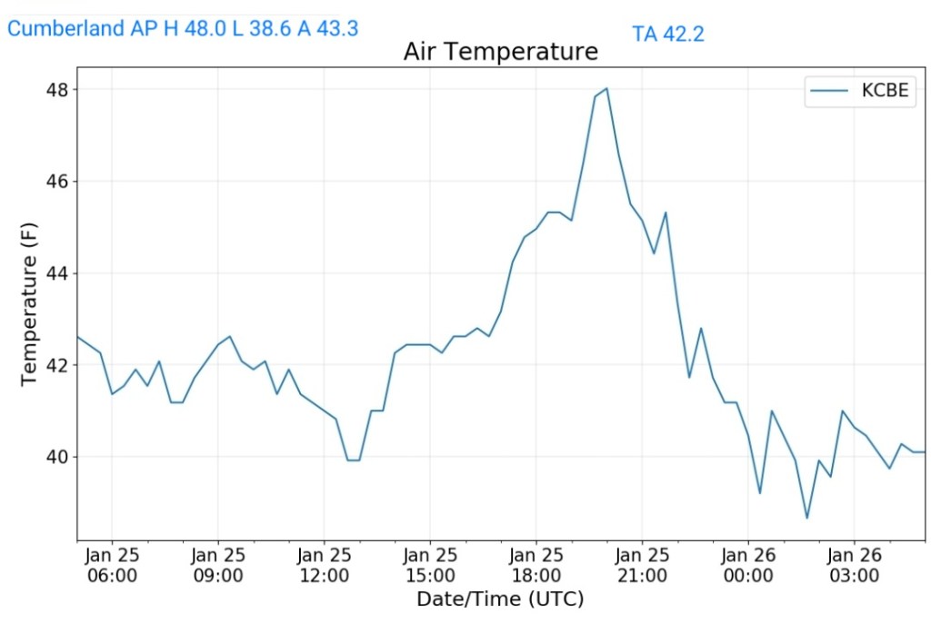
Cumberland Airport
MIN[38.6]—MAX[48.0]—AVERAGE MEAN[43.3]—TRUE AVERAGE[42.2]
The Valley vs Cabin Mt
Canaan area temps
Comparison view
RTMA
Radar
Satellite
Flow
Surface features and 500mb height anomalies and flow


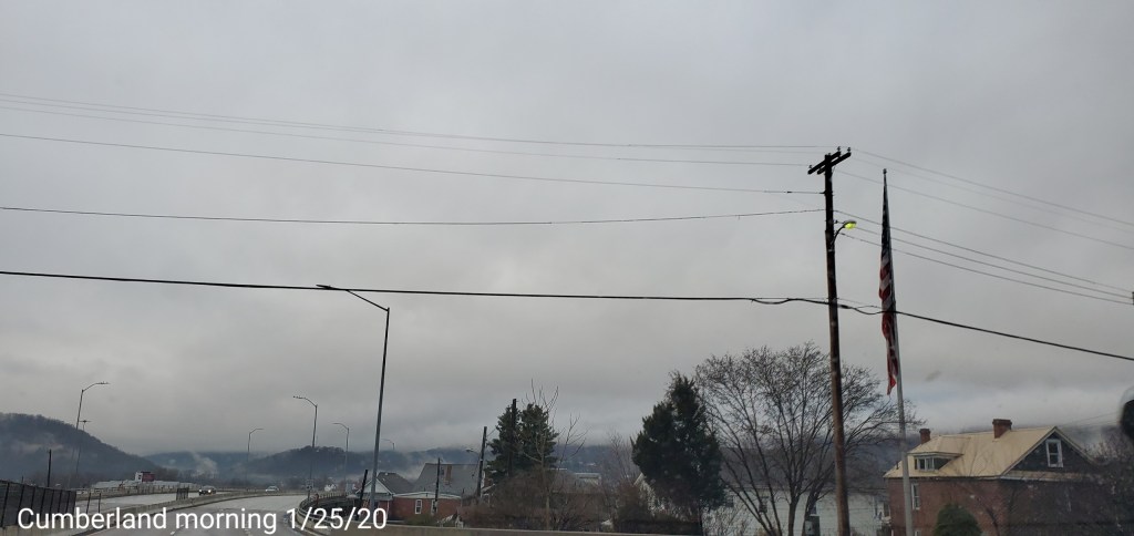
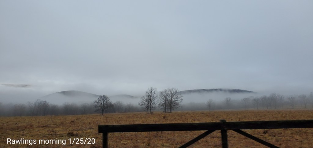
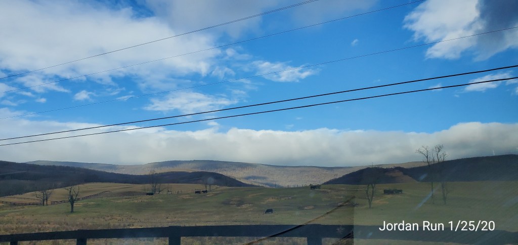
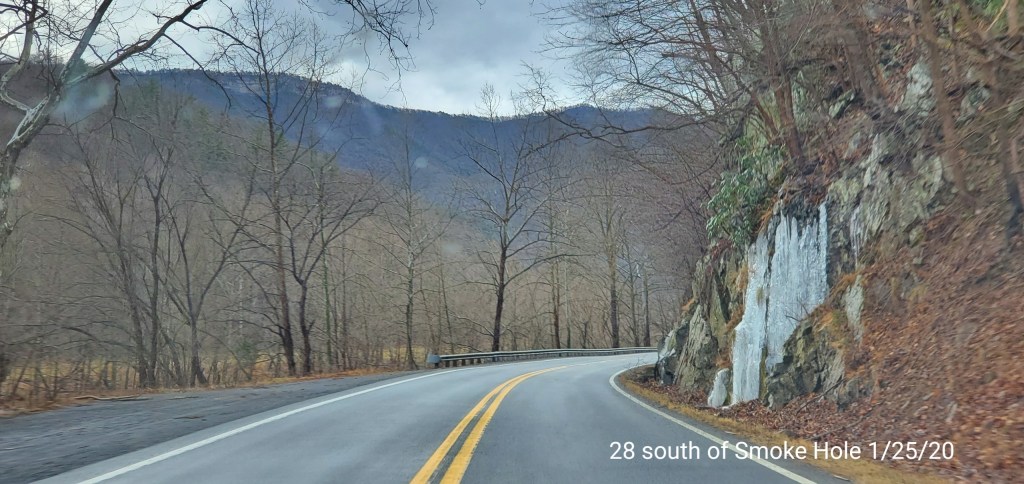
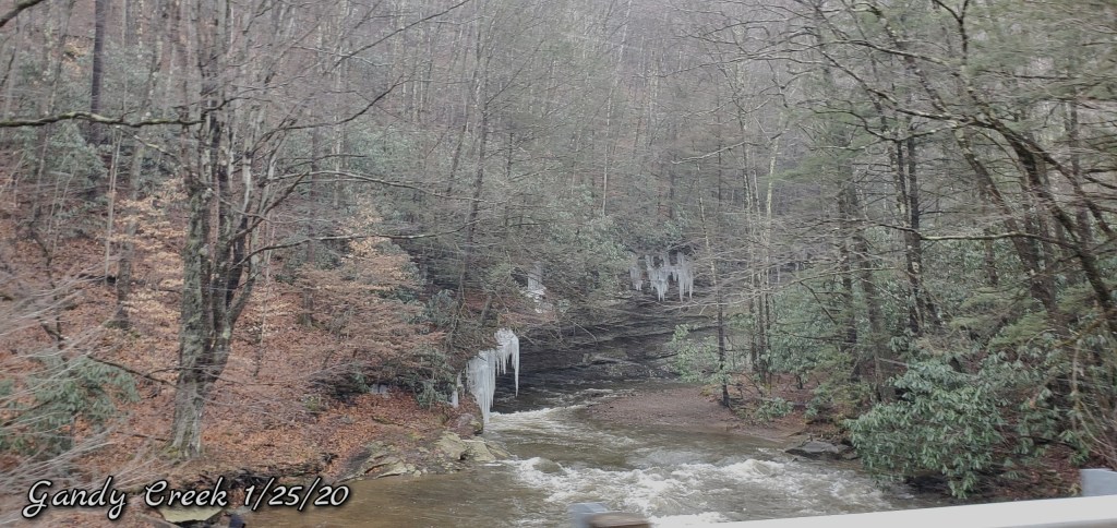
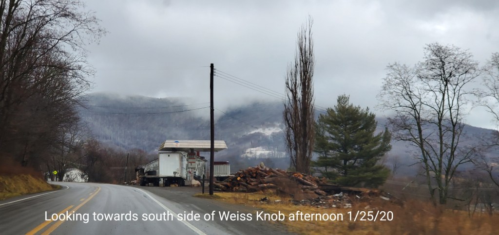
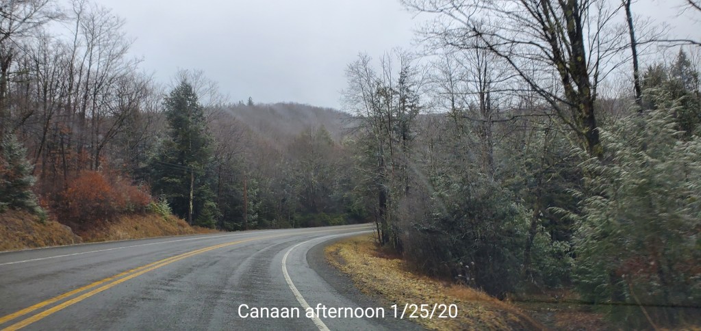
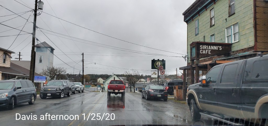
Pics today