February 7, 2020
Feb 7(Fri)
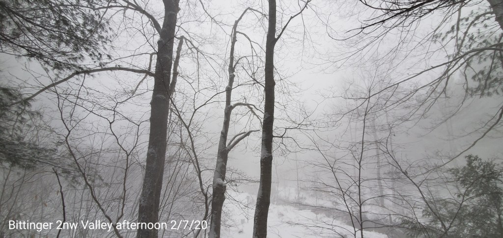
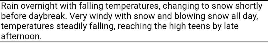
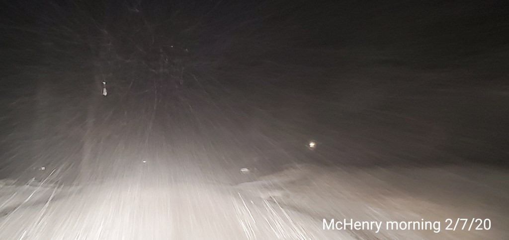
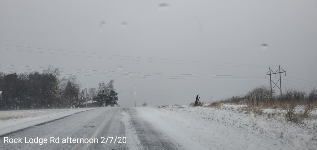
Rain overnight changing to snow before 6a.m. A brief heavy burst around 7am, then light before increasing in the afternoon. Towards nightfall and through 10pm some heavy squalls pushed across the area and put down some rapid accumulation.
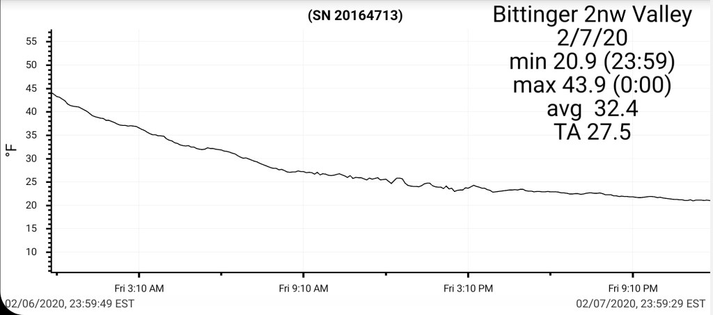
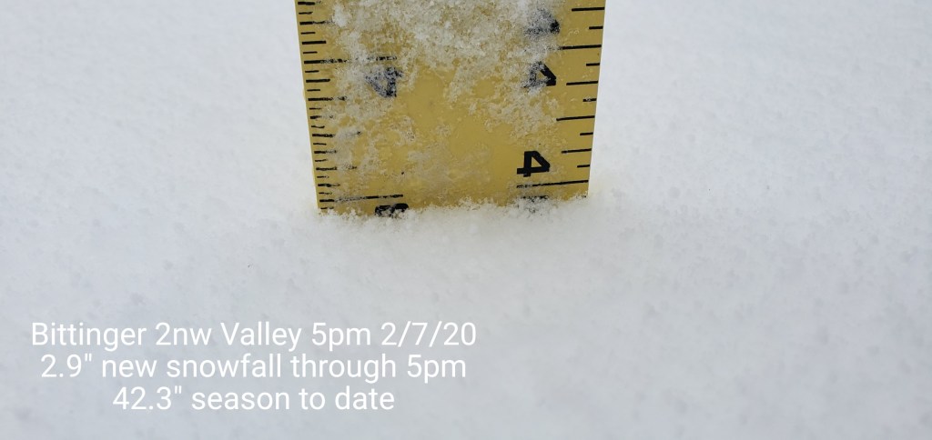
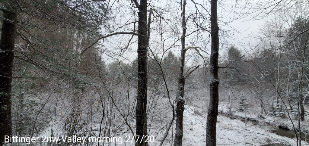
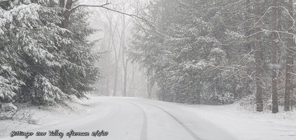
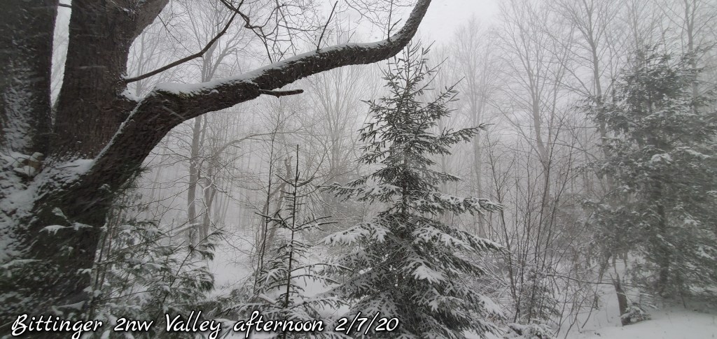
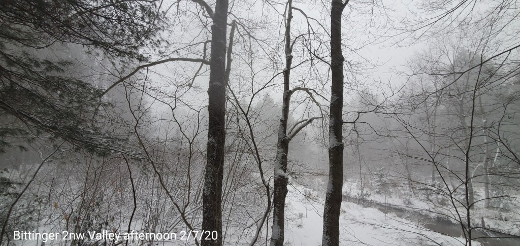
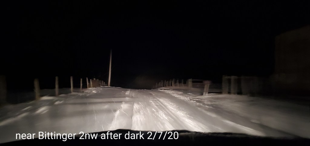
Bittinger 2nw Valley
MIN[20.9]—MAX[43.9]—AVERAGE MEAN[32.4]—TRUE AVERAGE[27.5]
New snowfall through 5p.m boardsweep at 2.9″.The heavy squalls that occured after 5pm will be included in tomorrow mornings 7am tally. No measurement or boardsweep was done this morning since the snow had just began.
Snowfall season to date at 42.3″
Garrett College
MIN[20.8]—MAX[44.0]—AVERAGE MEAN[27.4]—TRUE AVERAGE[27.4]—PRECIP[.33] *then snow

Canaan Heights/Davis 3SE
MIN[16.0]—MAX[47.0]—AVERAGE MEAN[31.5]—PRECIP[.53]7am
New snowfall through 7am only at .4″. Todays snow will be included in tomorrow’s tally
Snowfall season to date 53.0″
Comments by Dave Lesher at:
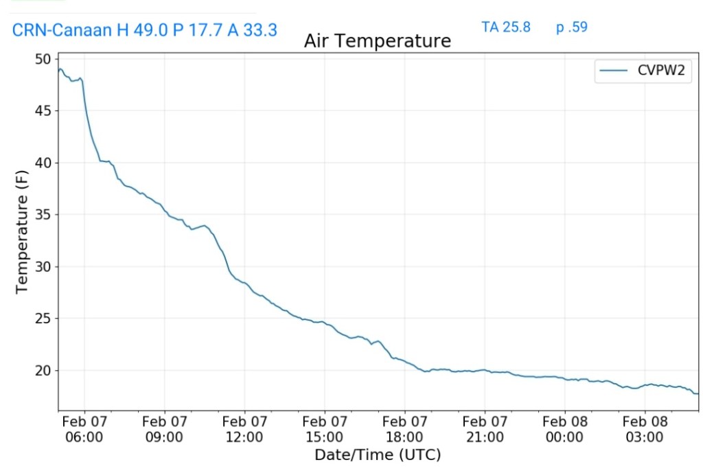
Climate Reference Network Canaan
MIN[17.7]—MAX[49.0]—AVERAGE MEAN[33.3]—TRUE AVERAGE[25.8]—PRECIP[.59]this includes melted snow
Cabin Mt at Bald Knob
MIN[13.8]—MAX[45.5]—AVERAGE MEAN[29.6]—TRUE AVERAGE[23.1]—PRECIP[.37] then snow not included

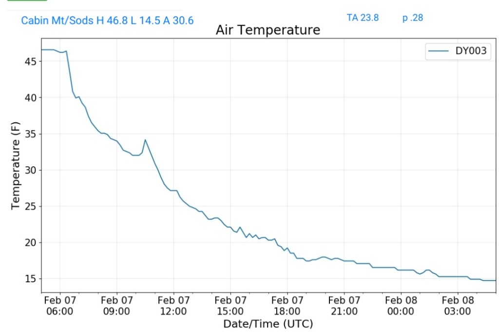
Cabin Mt-Western Sods
MIN[14.5]—MAX[46.8]—AVERAGE MEAN[30.6]—TRUE AVERAGE[23.8]—PRECIP[.28] then snow not included
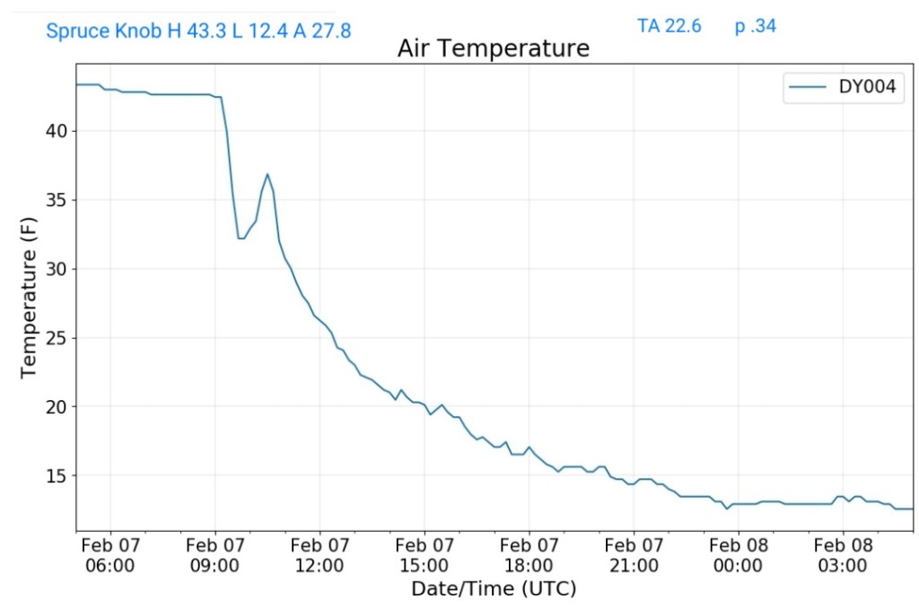
Spruce Knob
MIN[12.4]—MAX[43.3]—AVERAGE MEAN[27.8]—TRUE AVERAGE[22.6]—PRECIP[.34]snow not included
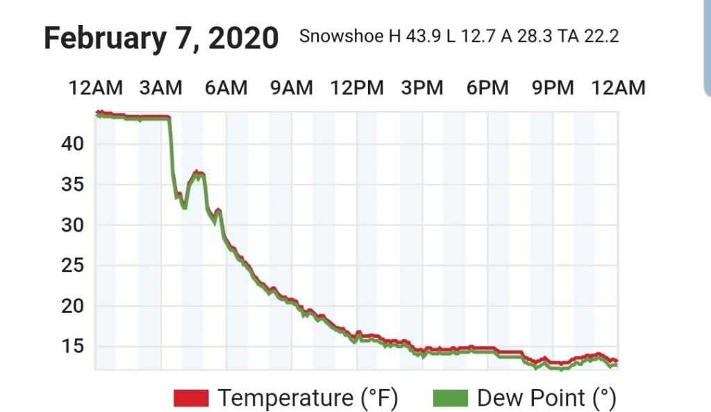
Snowshoe
MIN[12.7]—MAX[43.9]—AVERAGE MEAN[28.3]—TRUE AVERAGE[22.2]
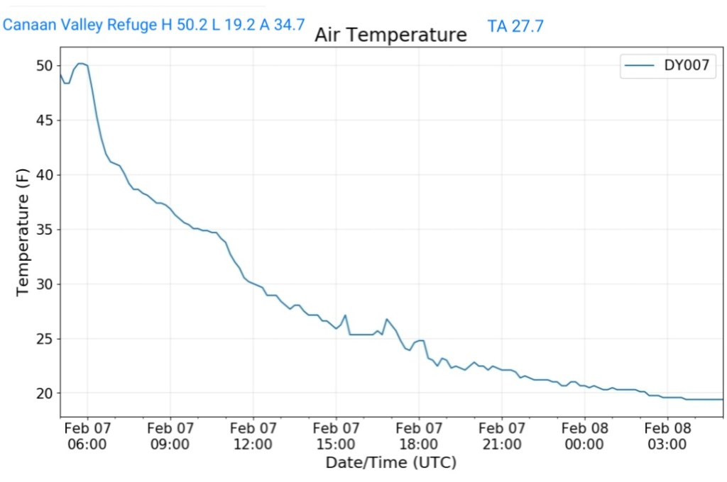
Canaan Valley Refuge
MIN[19.2]—MAX[50.2]—AVERAGE MEAN[34.7]—TRUE AVERAGE[27.7]
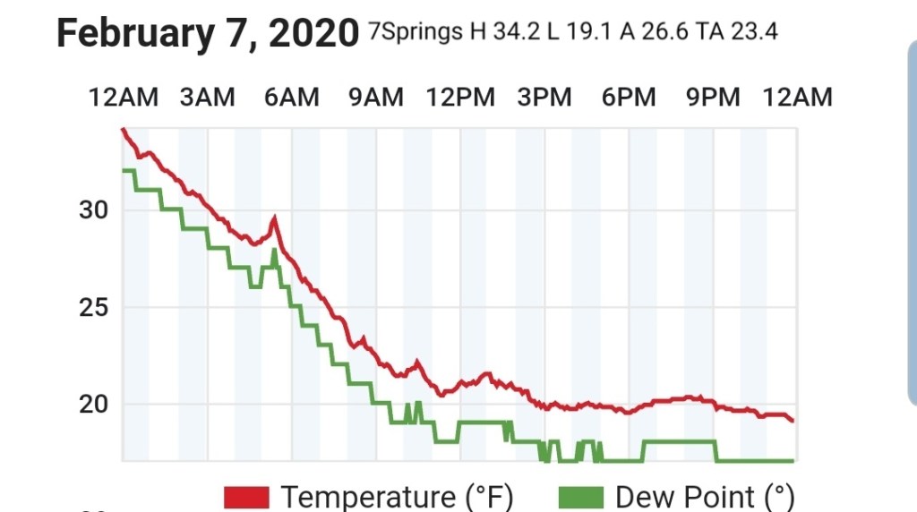
7Springs
MIN[19.1]—MAX[34.2]—AVERAGE MEAN[26.6]—TRUE AVERAGE[23.4]
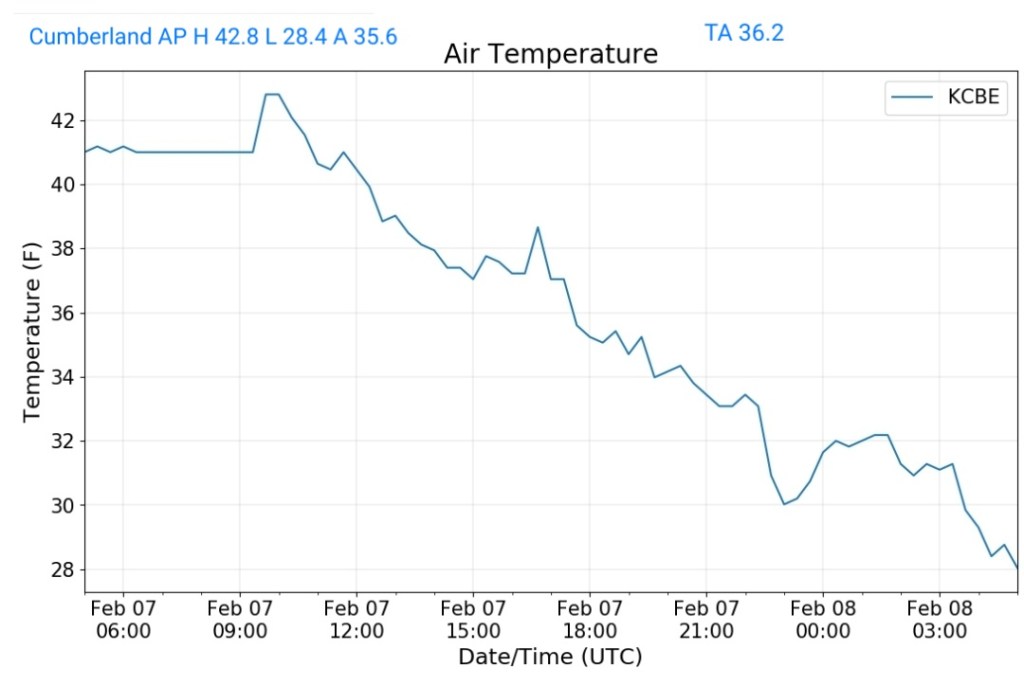
Cumberland Airport
MIN[28.4]—MAX[42.8]—AVERAGE MEAN[35.6]—TRUE AVERAGE[36.2]
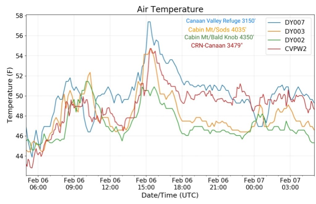
The Valley vs Cabin Mt

Canaan area temps
Comparison view
RTMA
Radar
Radar doing poor at showing precip over the high ground.
Satellite
Flow
Surface features and 500mb height anomalies and flow


pics today
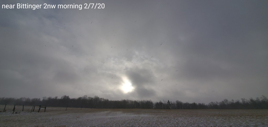
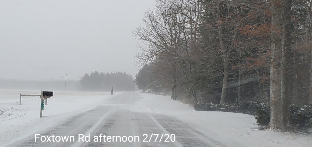
Bittinger/McHenry area


webcams
10 am update-
The haves and have notes with the initial thump. Through around 9 am, reports of 2 to near 4″ have occured on the west side of the mts… and along the western ridges in the northern Alleghenies. A 3″ report near 7Springs, 4″ report near the Pre/Mon/Taylor County border in Wv, and the same as you go towards Pittsburgh, with nearly 5″ reported in Indiana , Pa. While at 8am near Bittinger I was at .9″.
So, a boom in areas with the initial burst and a bust in areas. Interesting in the fact that once again, a scenario that’s become common place and way too frequently. The models initialized wrong again. The GFS max amounts, as well as short range mesoscale guidance was just further east..with several inches by 7am further east. About 50 miles or so vs reality. I do not ever recall models initializing wrong so frequently time and time again.
Now, the initial burst was 1 aspect of the event. Forecasted totals through Saturday a.m are still well within range, but missing out on the initial burst for the majority of the high ground, which modeling totally blew, that’s a setback, but can be made up in some lake streamers and upslope later on.
-My thoughts from yesterday for this event were as followed
My thoughts on some select areas for part 1…
7Springs 3-6″
Somerset 1-3″
Mt.Davis 3-6″
Grantsville 1-3″
Bittinger 2-5″
Oakland 2-4″
Cranesville 3-6″
Terra Alta 3-6″ (Any interested weather gurus here? A snow observer needed in this area)
Coopers Rock 2-4″
Davis 4-7″
Canaan Heights 4-7″
Canaan Valley 3-6″
Parson 1-3″
Whitmer 2-4″
Onego 1-2″
Elkins 2-4″
Snowshoe 4-7″
Highland Scenic Highway 4-7″
Marlinton 1-3″
Those totals are well within reach still. And 7Springs is already there and likely Coopers Rock close if not. Guidance yesterday afternoon would have suggested upping the amounts. But again, it’s been beyond poor.
Still watch for heavy burst, some streamers and isolated whiteout conditions at times. Other wise snowfall varying from light at times to moderate and over the duration of the next 24 hours should get into the totals window. Some areas on the west side of the Mts will likely exceed expected totals.
