February 8, 2020
February 8(Sat)
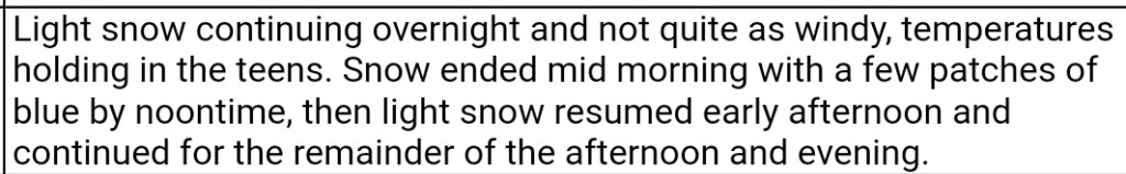
After some heavy pockets early overnight, light lingering snow occured early morning with a few flurries about during the day until another wave of precip crossed the area starting late afternoon, early overnight. Mainly cloudy today with a glimmer of sun.
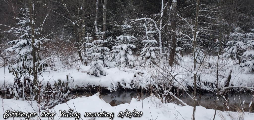
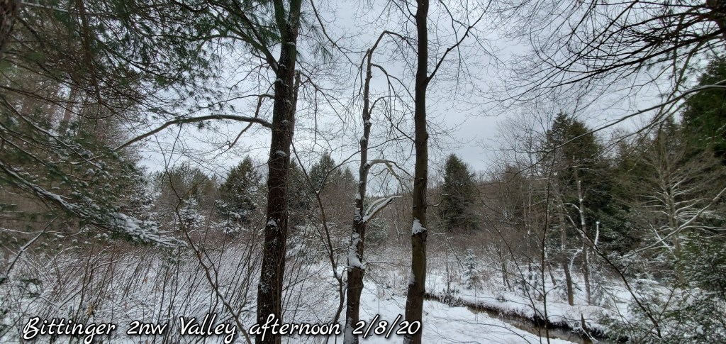
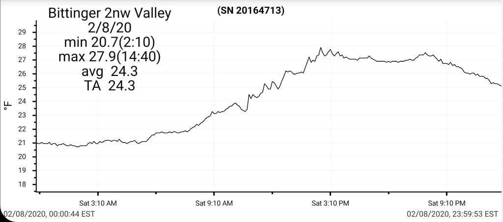
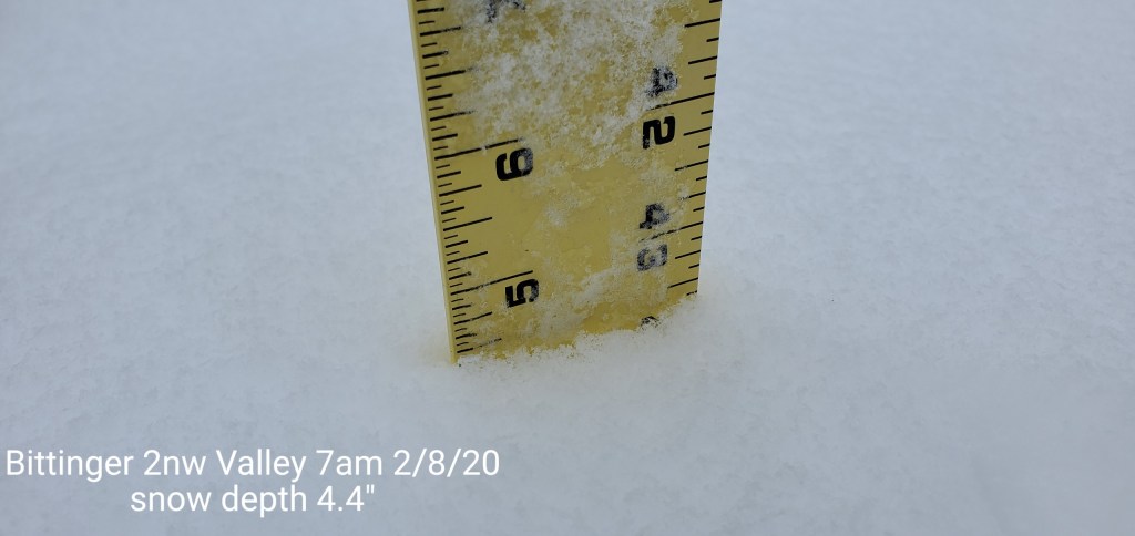
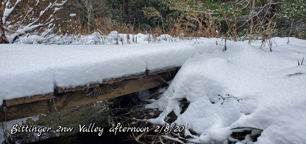
Bittinger 2nw Valley
MIN[20.7]—MAX[27.9]—AVERAGE MEAN[24.3]—TRUE AVERAGE[24.3]
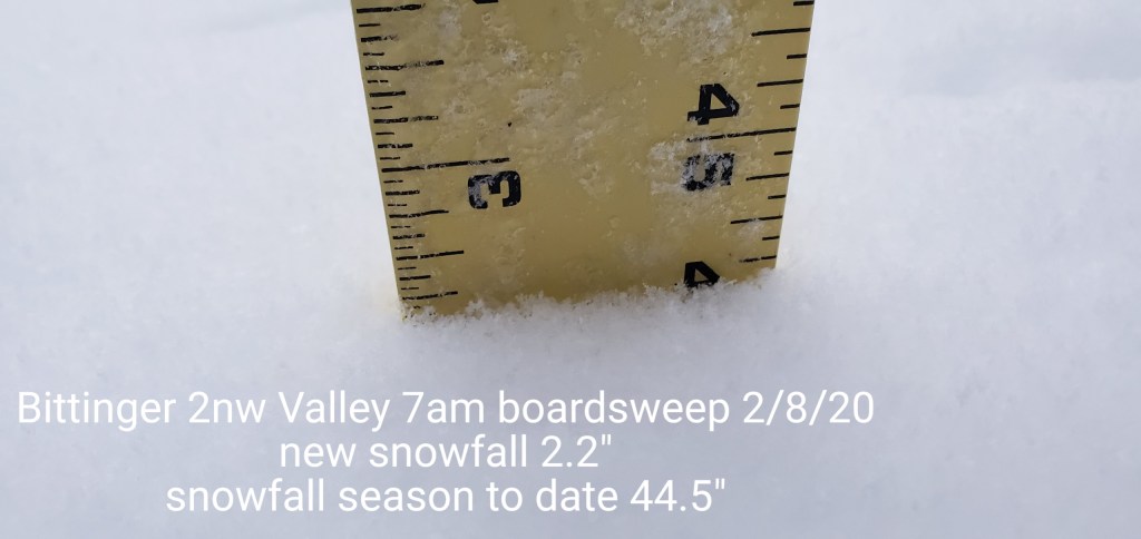
New snowfall of 2.2″ from 5pm last night through 7am boardsweep. With the light snow this morning and again restarting later afternoon, another .3″ fell at the 5pm boardsweep with snow continuing.
Snow depth at 7am 4.4″
Snowfall season to date 44.8″

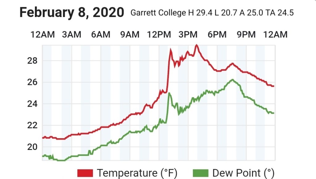
Garrett College
MIN[20.7]—MAX[29.4]—AVERAGE MEAN[25.0]—TRUE AVERAGE[24.5]—PRECIP[F]
Canaan Heights/Davis 3SE
MIN[16.0]—MAX[27.0]—AVERAGE MEAN[21.5]—PRECIP[.33]
New snowfall 4.3″
Snow depth 4
Snowfall season to date 57.3″
Comments by Dave Lesher at:
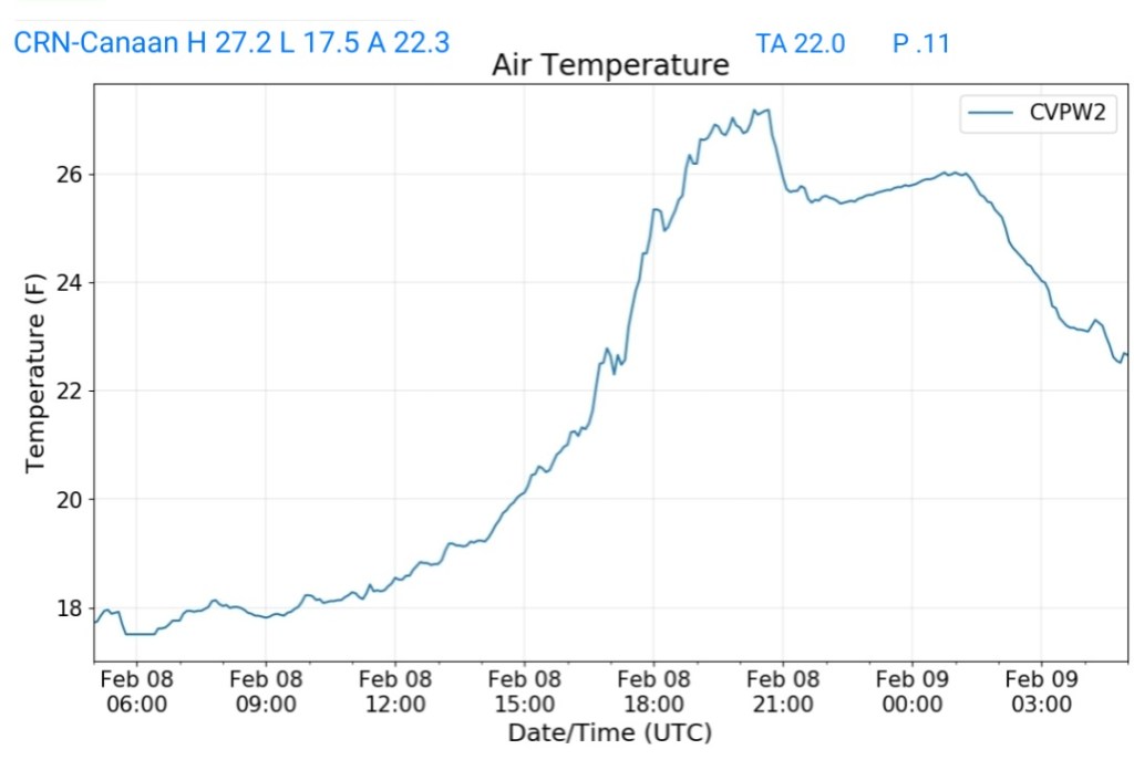
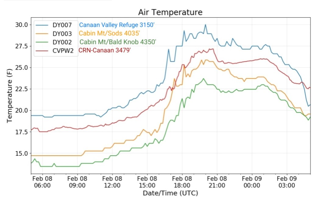
Climate Reference Network Canaan
MIN[17.5]—MAX[27.2]—AVERAGE MEAN[22.3]—TRUE AVERAGE[22.0]—PRECIP[.11]
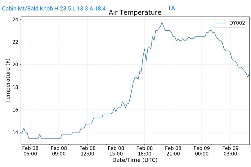
Cabin Mt at Bald Knob
MIN[13.3]—MAX[23.5]—AVERAGE MEAN[18.4]—TRUE AVERAGE[18.1]—PRECIP[F]
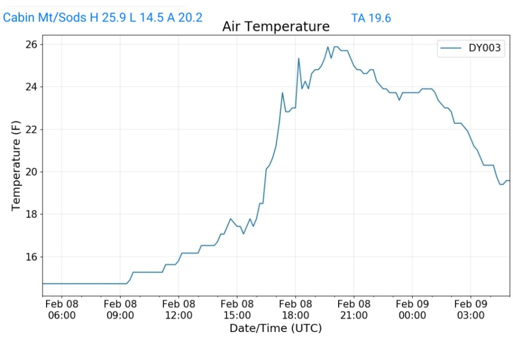
Cabin Mt-Western Sods
MIN[14.5]—MAX[25.9]—AVERAGE MEAN[20.2]—TRUE AVERAGE[19.6]—PRECIP[F]
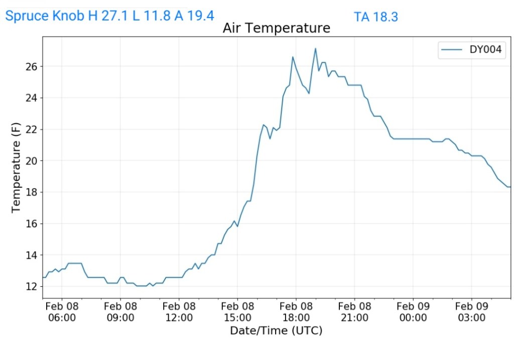
Spruce Knob
MIN[11.8]—MAX[27.1]—AVERAGE MEAN[19.4]—TRUE AVERAGE[18.3]
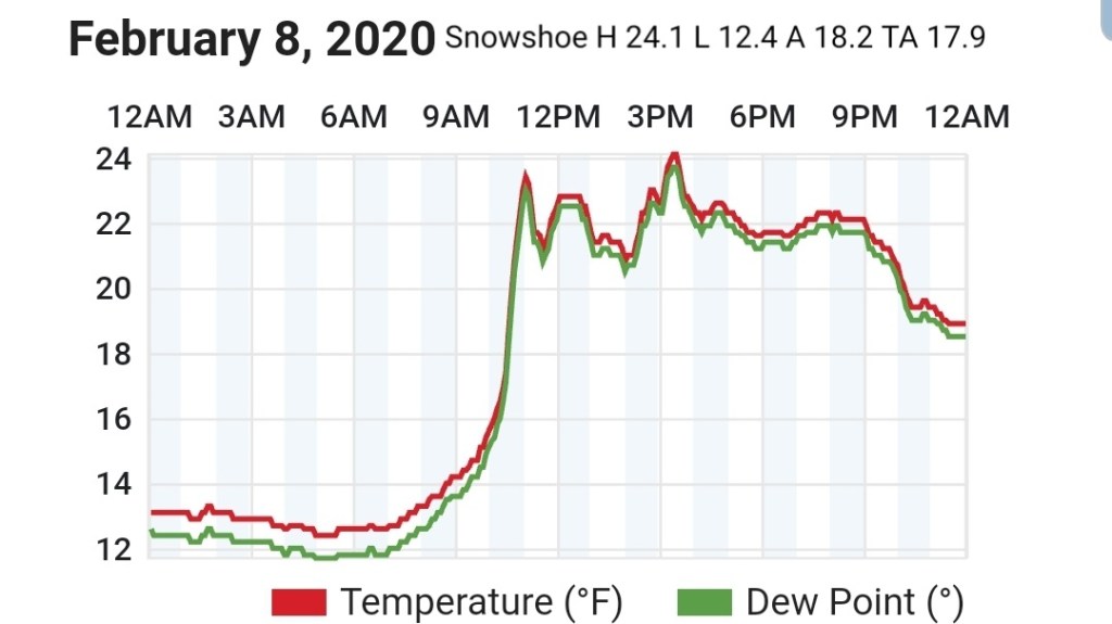
Snowshoe
MIN[12.4]—MAX[24.1]—AVERAGE MEAN[18.2]—TRUE AVERAGE[17.9]
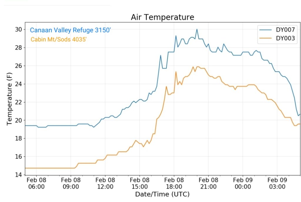
Canaan Valley Refuge
MIN[19.0]—MAX[30.0]—AVERAGE MEAN[24.5]—TRUE AVERAGE[23.7]

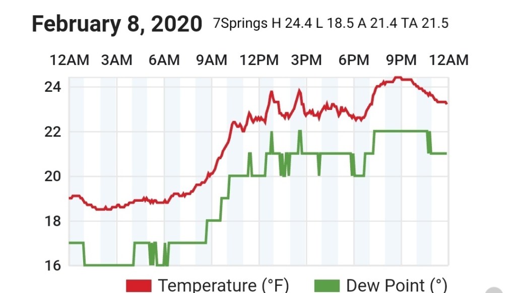
7Springs
MIN[18.5]—MAX[24.4]—AVERAGE MEAN[21.4]—TRUE AVERAGE[21.5]
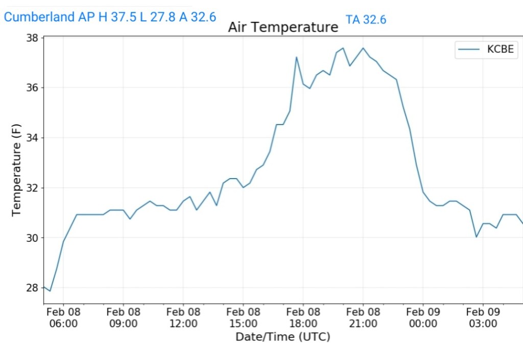
Cumberland Airport
MIN[27.8]—MAX[37.5]—AVERAGE MEAN[32.6]—TRUE AVERAGE[32.6]
The Valley vs Cabin Mt
Canaan area temps
Comparison view
RTMA
Radar
Satellite
Flow
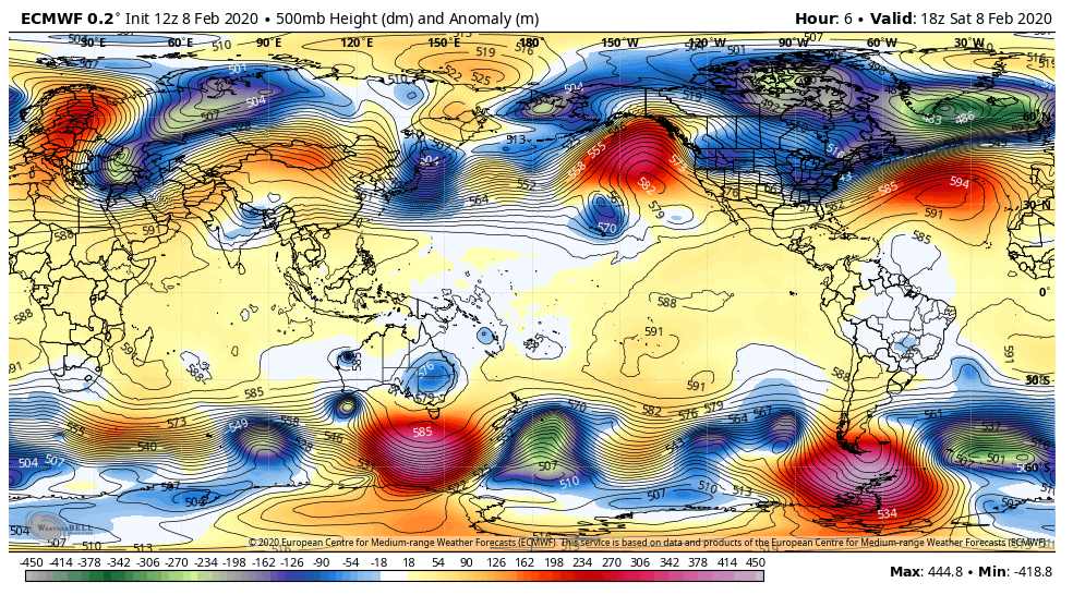
Surface features and 500mb height anomalies and flow

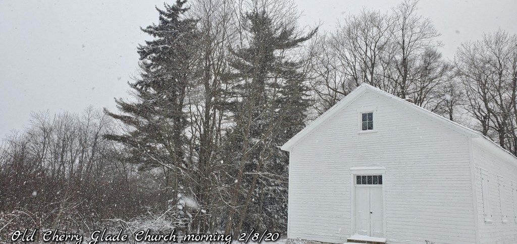
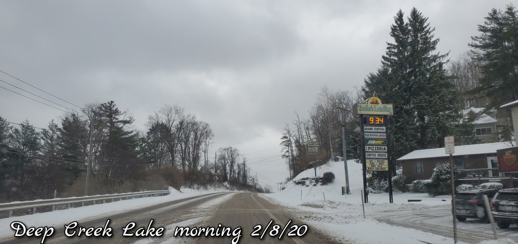
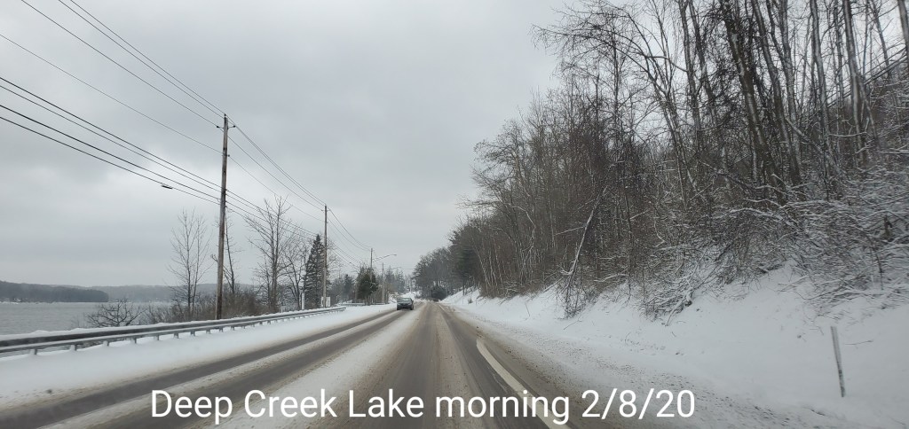
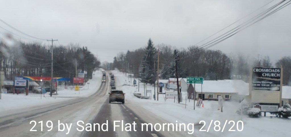
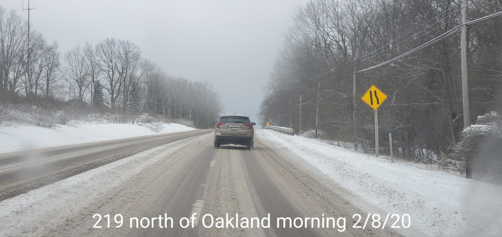
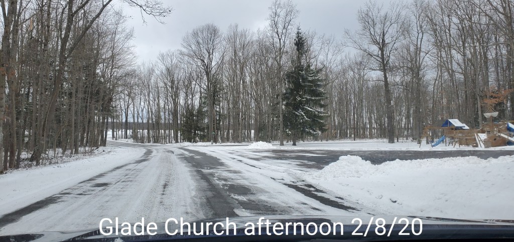
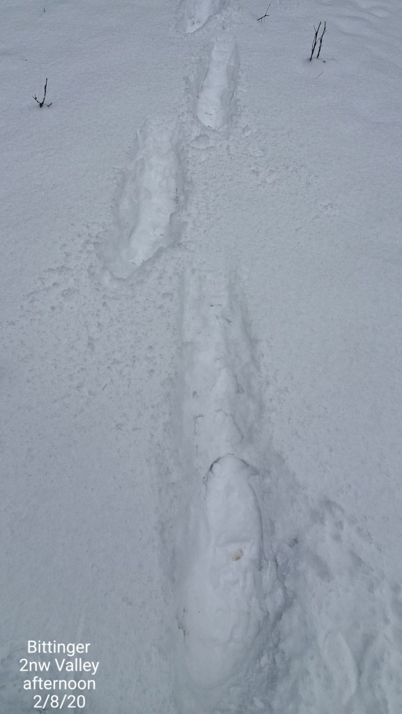
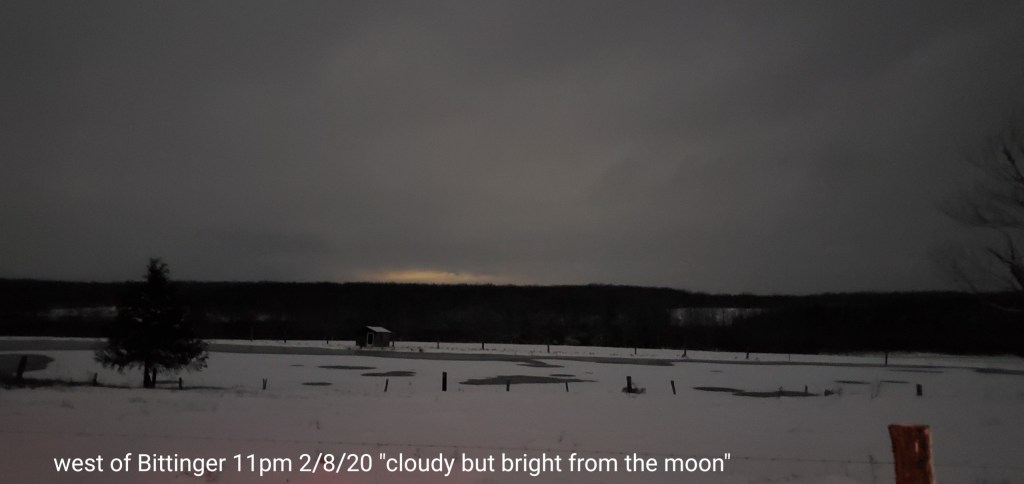
Pics today