March 6, 2020
Mar 6(Fri)
Early round of moderate snow at daybreak put down around a half inch and ended just prior to the 7am recordings. In areas, my area, and most areas under 3000′, this melted off until some heavier pockets began showing up midday. I never melted off after that, but many areas did. Snow/melt/snow/melt. Evening and into the over night activity increased.
Bittinger 2nw Valley
New snowfall today of 1.3″
Max depth was .9″ late day , .4 at 7am which melted off.
Snowfall season to date 61.3″
Garrett College
Canaan Heights/Davis 3SE
MIN[22.0]—MAX[35.0]—AVERAGE MEAN[28.5]—PRECIP[.03]7am
New snowfall through 7am of .6″
Snowfall season to date 83.8″
All of todays snowfall will be tallied in tomorrows post
Comments by Dave Lesher at
Cloudy overnight with light snow commencing 6AM.
10AM: Very light snow and 31F. Only a trace of snow fell from 7AM to 10AM.
1PM: Light snow shower and 28F. Snowshowers since 10AM alternating with periods of dim sunshine. New snow since 7AM only 0.3 in.
7PM: Light snow and 27F. Snow intensity has varied widely all afternoon ranging from nothing to times of moderate and briefly heavy. New snow since 1PM 2.2in. Event total now 3.1in. Next update late evening.
1045PM: Light snow, windy and 24F. Some blowing and drifting snow. New snow since 7PM 1.6 in. Storm total 4.7 in.
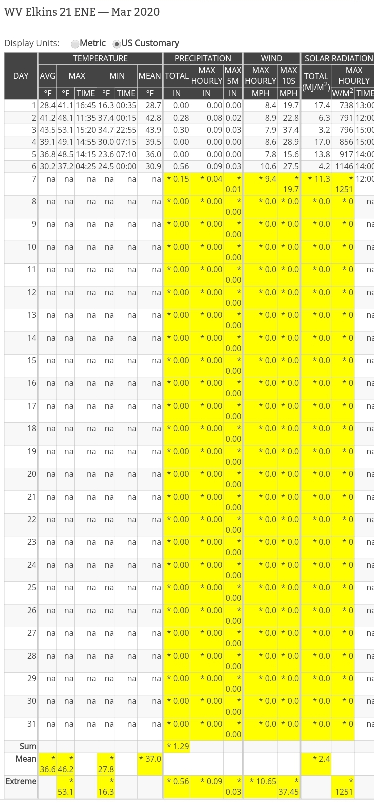
Climate Reference Network Canaan
Cabin Mt at Bald Knob
Cabin Mt-Western Sods
Spruce Knob
Snowshoe
Canaan Valley Refuge
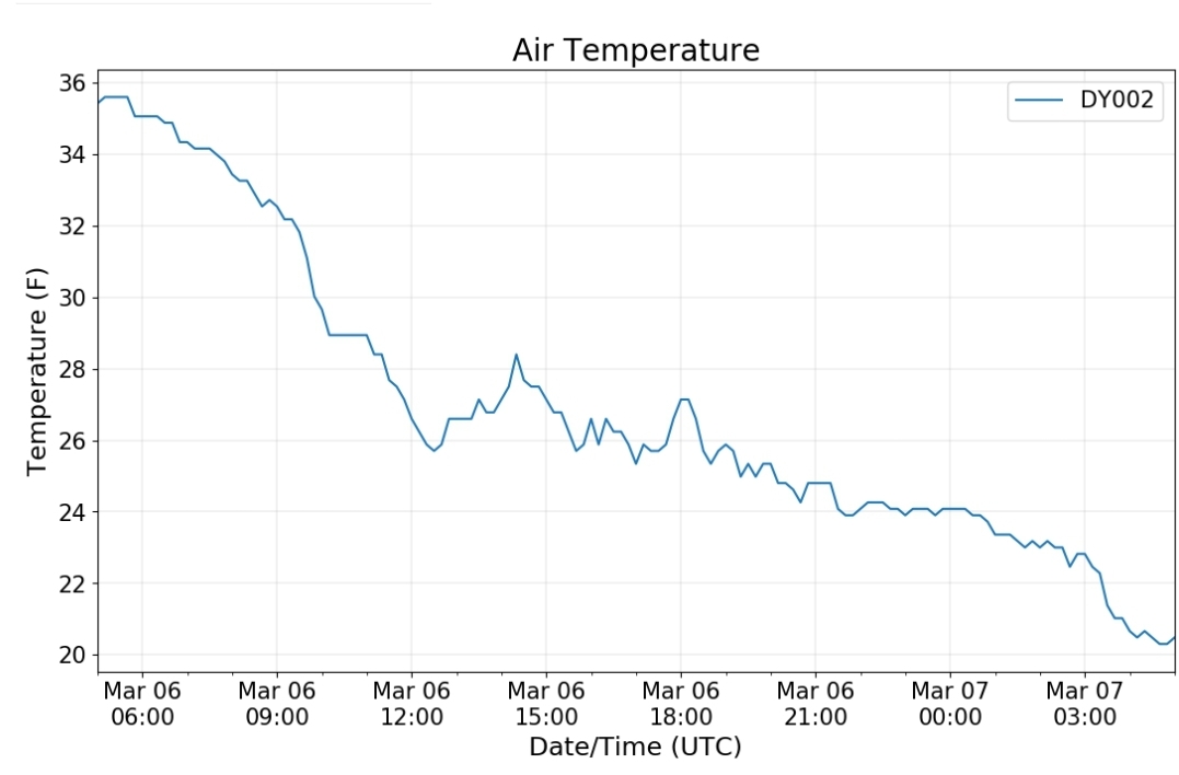
A 15° rise in 20 minutes, likely a indication so.e wind kicked in
7Springs
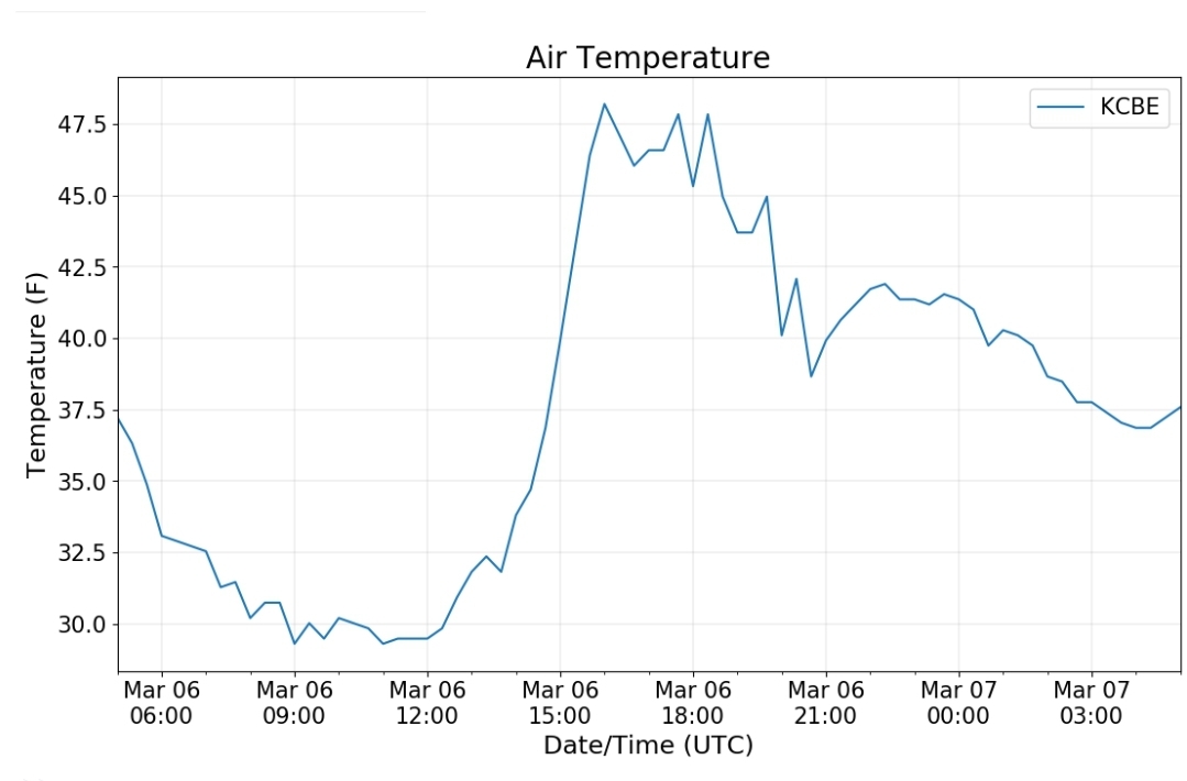
Cumberland Airport
The Valley vs Cabin Mt
Canaan area temps
Comparison view


