April 29, 2020
Apr 29(Wed)
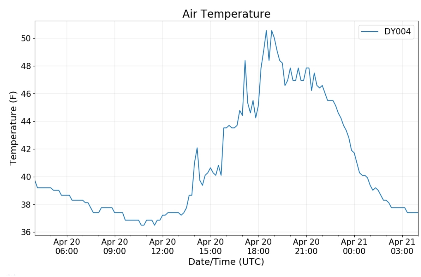
The morning consisted of a sunny start west, a foggy, dreary start east. That gave way to some brief sun, but cloud cover rapidly took over with rain pushing in by evening.
Bittinger 2nw Valley
Snowfall season to date 71.5″
https://gobotany.nativeplanttrust.org/species/anemone/quinquefolia/
Ramp watch- with comparison of 1 month ago
Garrett College
Missing a few hours of data late in the 24 hour period. Rainfall occured during that time
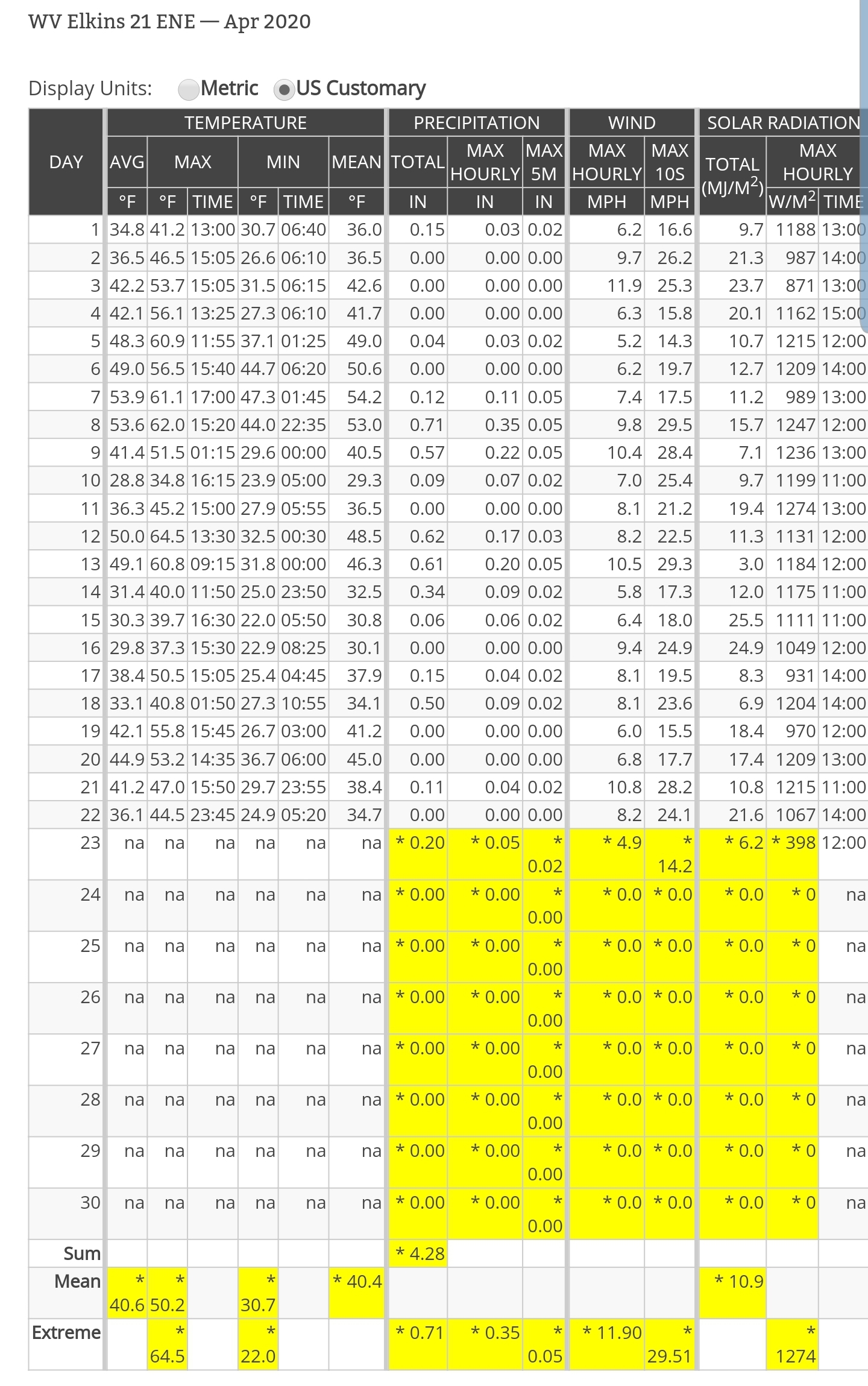
Canaan Heights/Davis 3SE
Precip .13 7am
Snowfall season to date 98.0″
Comments by Dave Lesher at:
Climate Reference Network Canaan
Cabin Mt at Bald Knob
Cabin Mt-Western Sods
Spruce Knob
Snowshoe
Canaan Valley Refuge
7Springs
Cumberland Airport
The Valley vs Cabin Mt
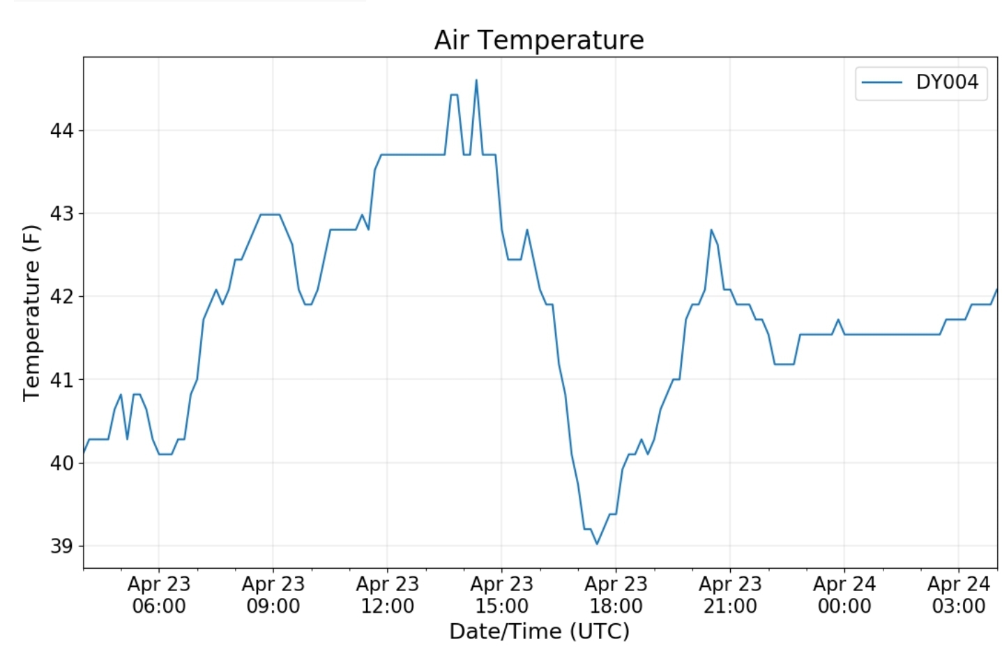
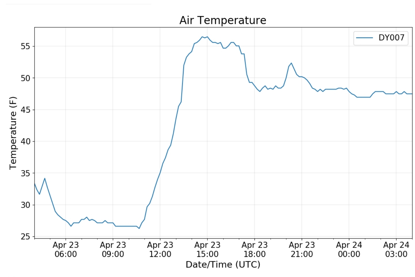
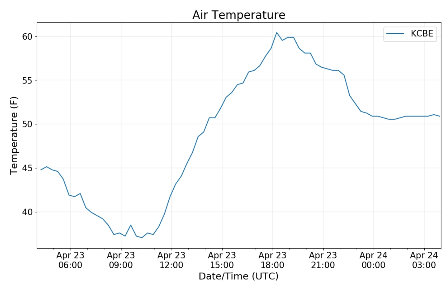
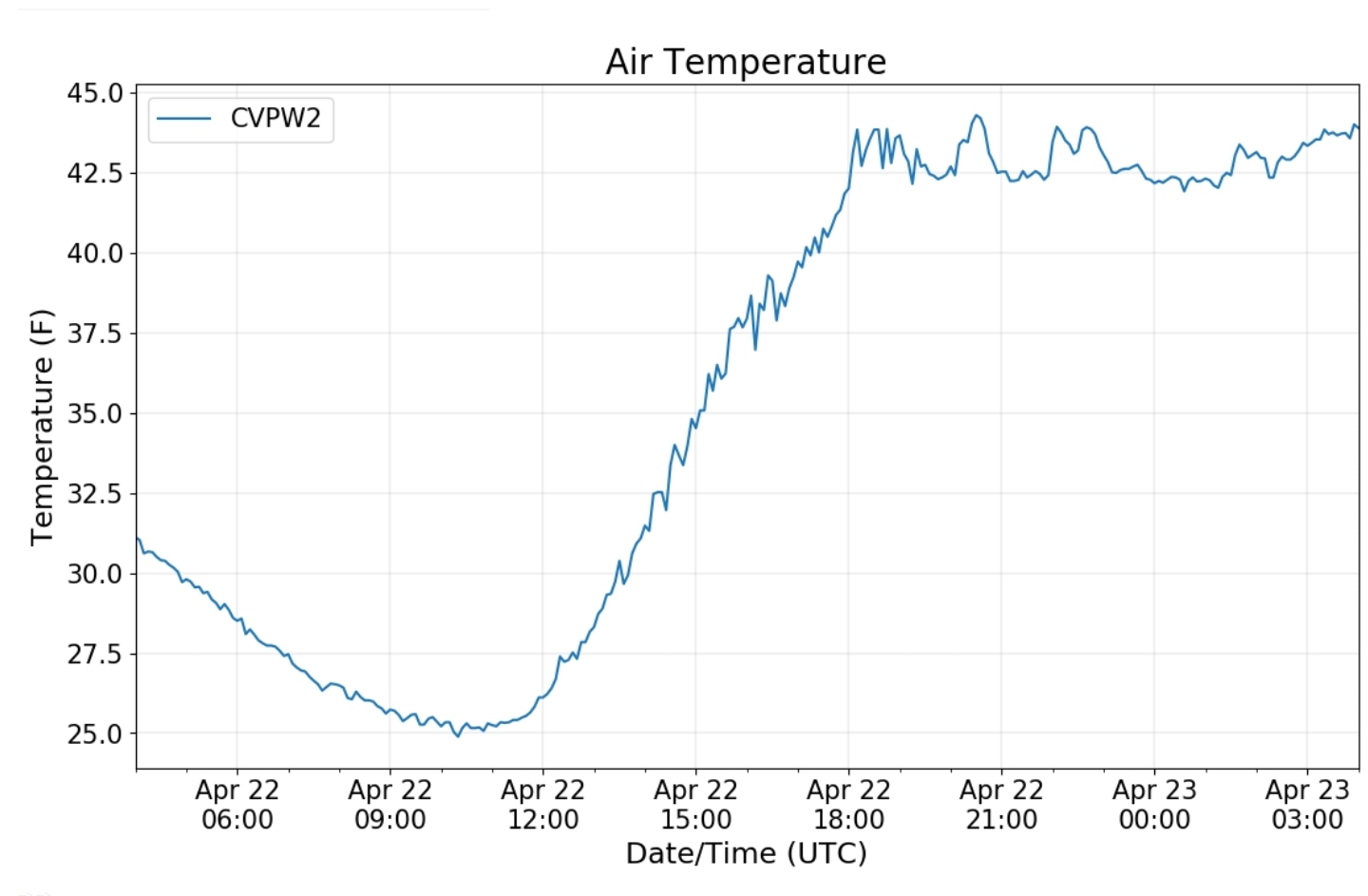
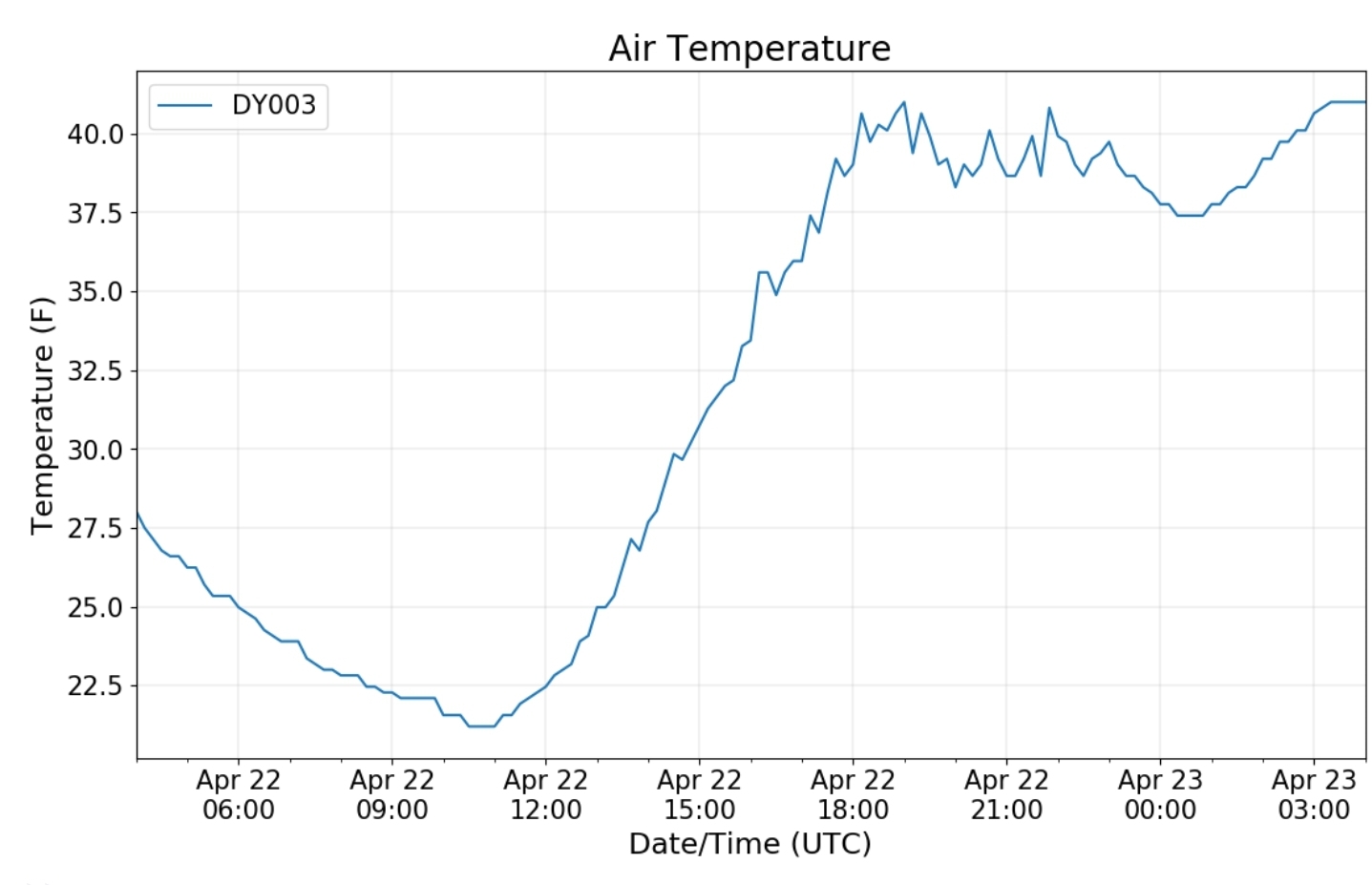
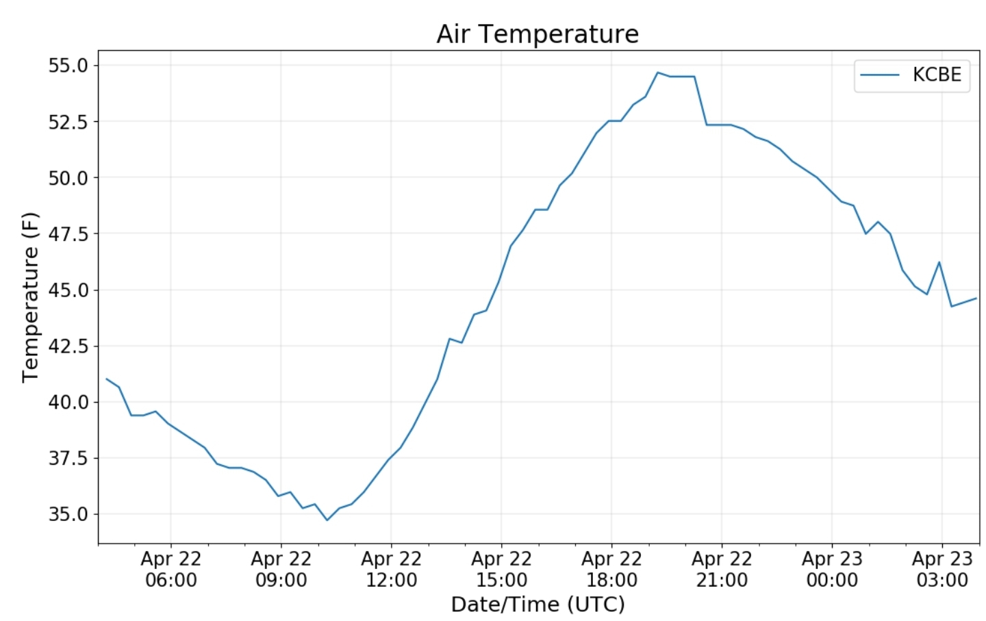
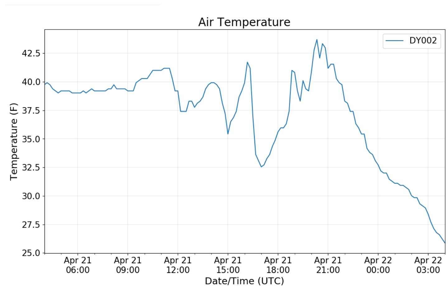
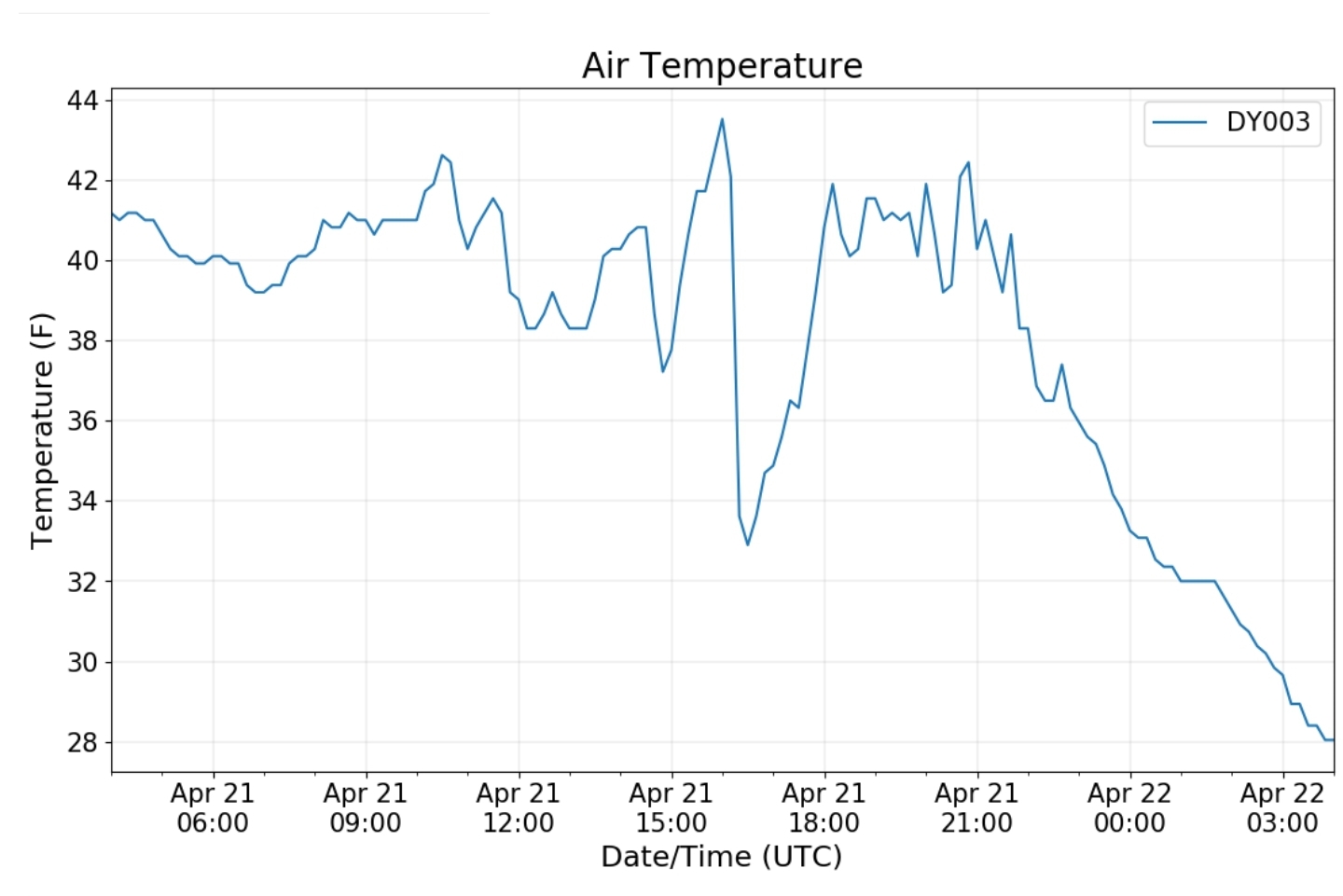
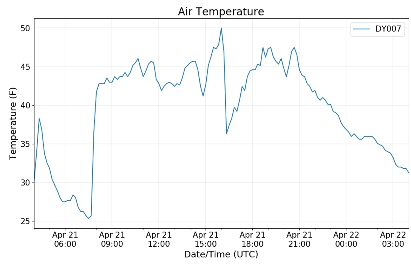
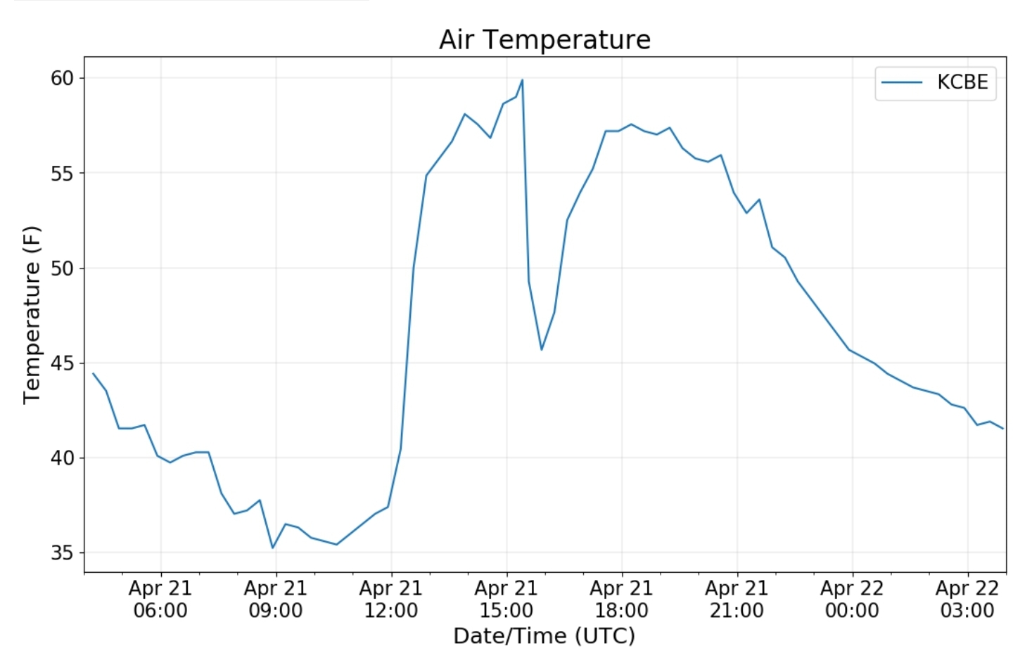
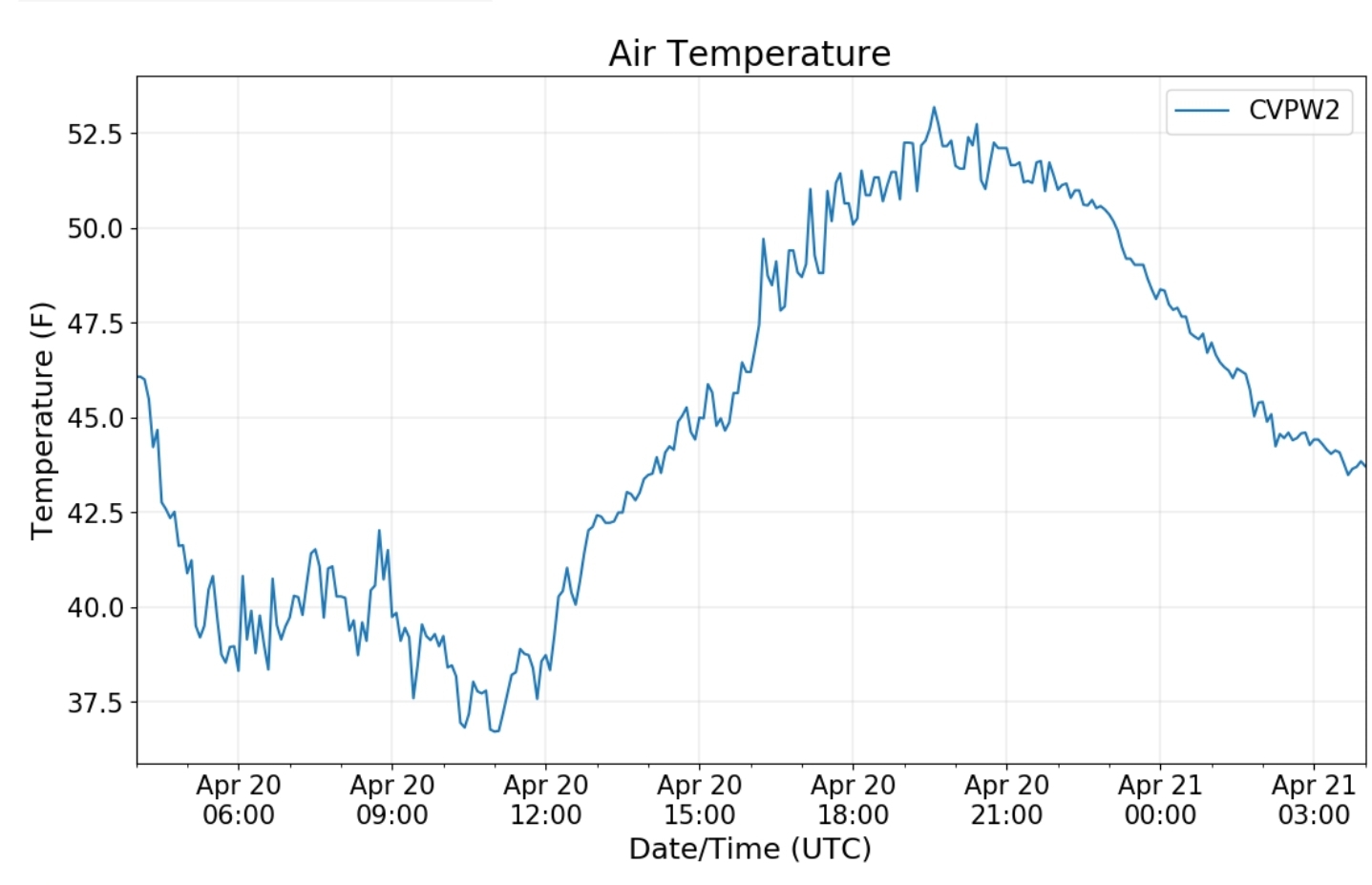
Canaan area temps
Comparison view
RTMA
Radar
Satellite
Flow
Surface features and 500mb height anomalies and flow
That old familiar line. The typical fog line and also it’s the setup of the typical zone freezing rain holds on the longest in the winter…
To start, this is the setup the parameters off the 3km Nam excels at, and once again it did superb…
Midday temps looked like
The fog zone through the morning
A hop west
And further west
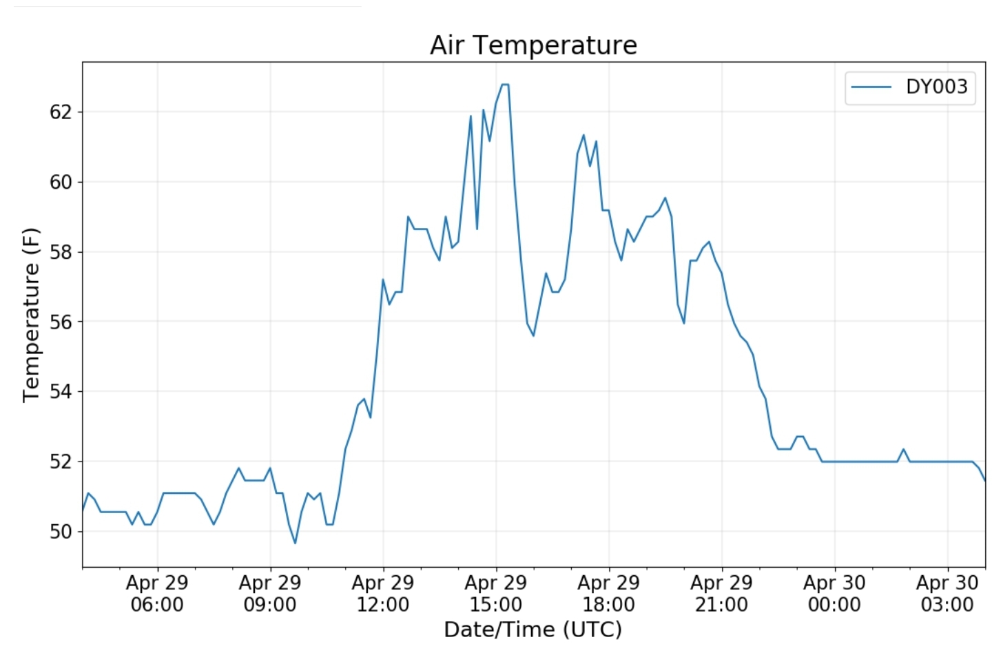
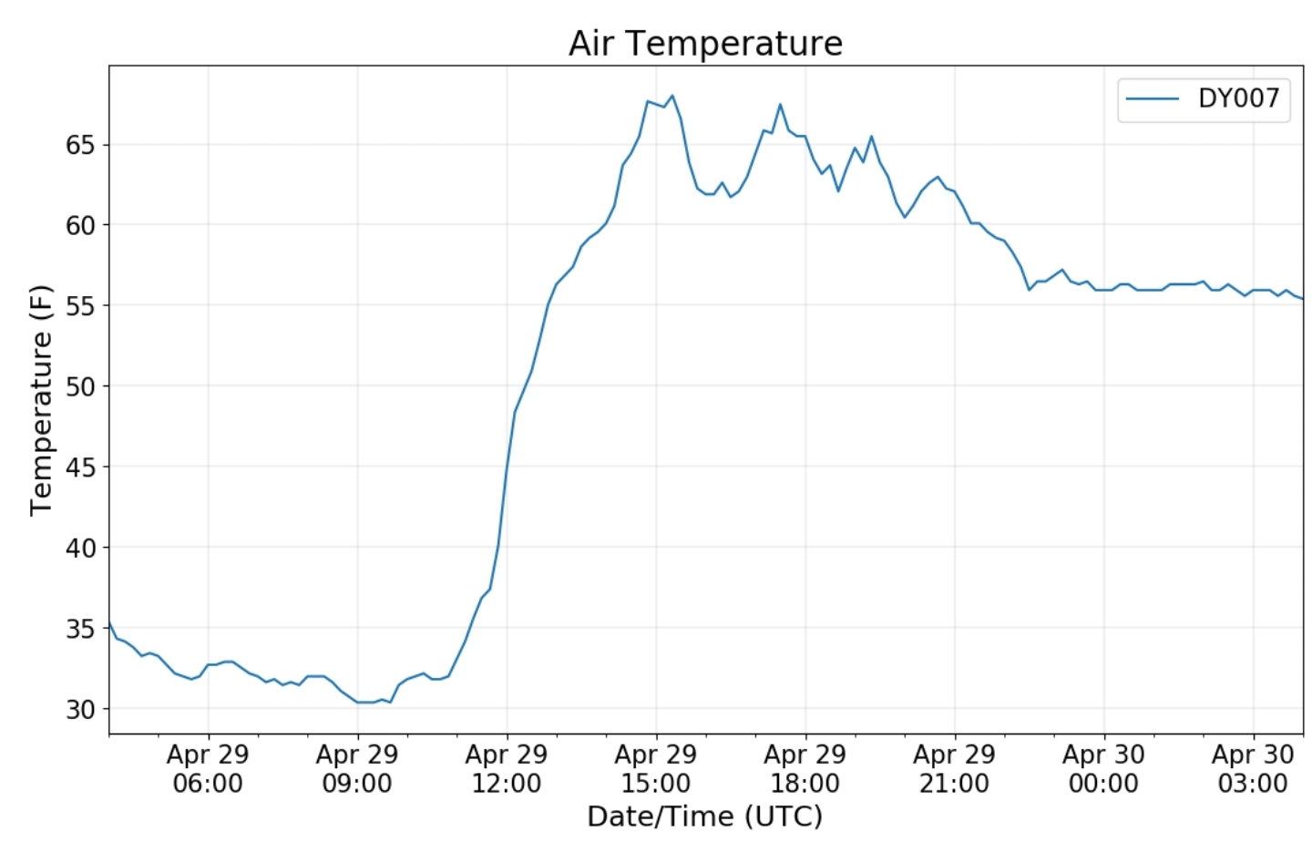
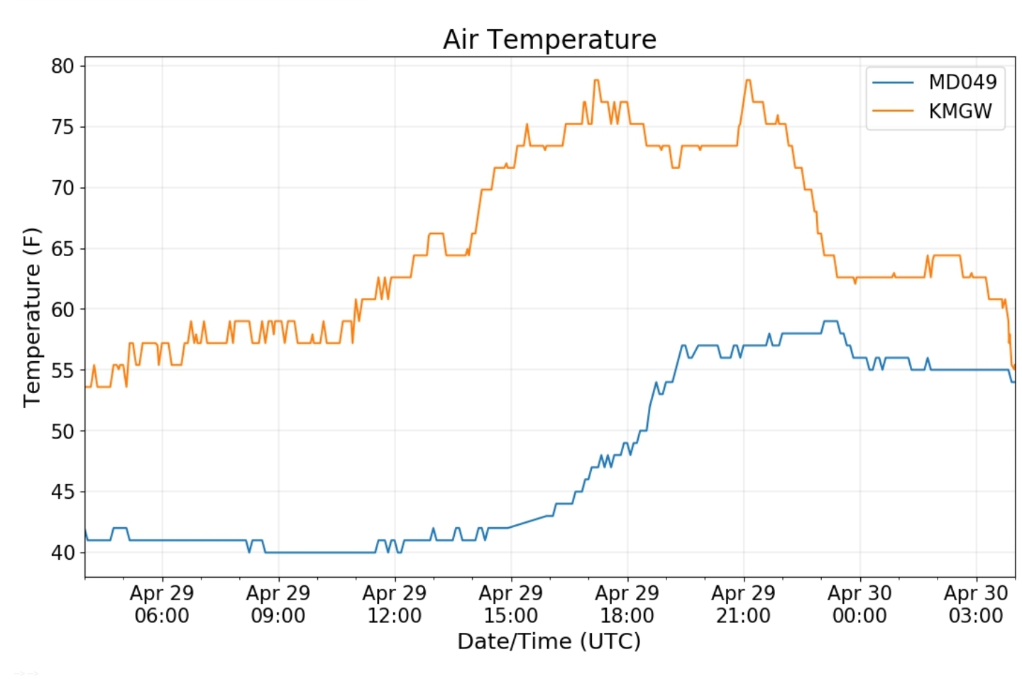
That lead to the wide temp spread that eastern Garrett at Savage Mt was low 40s while Morgantown was mid 70s
Midday that fog line was evident from Satellite
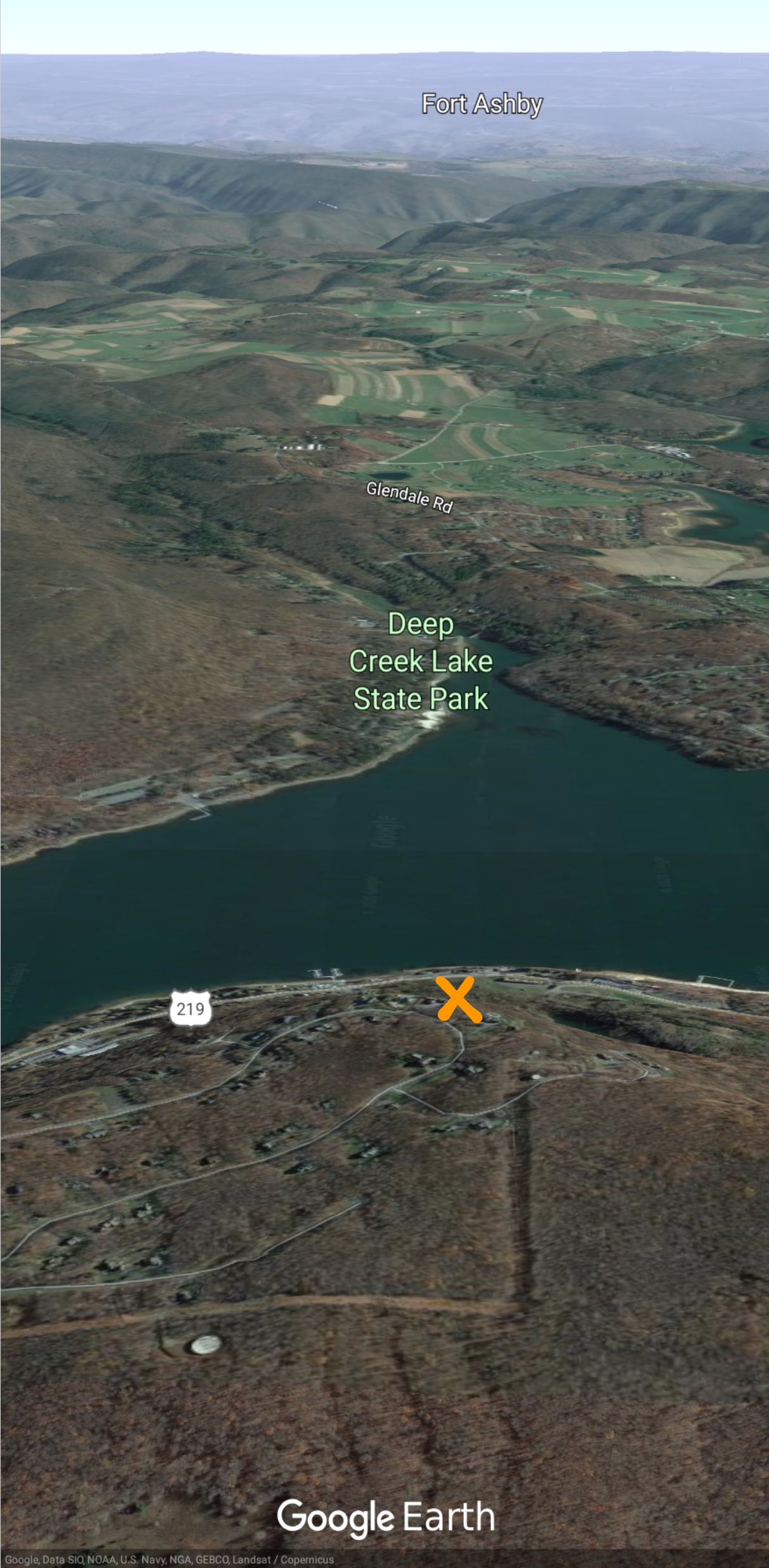
Looking east from Roman Nose at 3000′ in Garrett County the line was very visible. The same area that often holds the cold during ice events


