April 8, 2020
Apr 8(Wed)
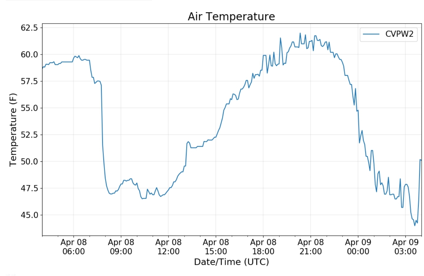
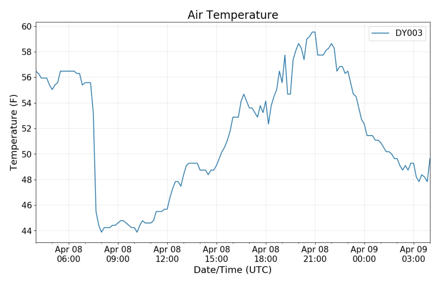
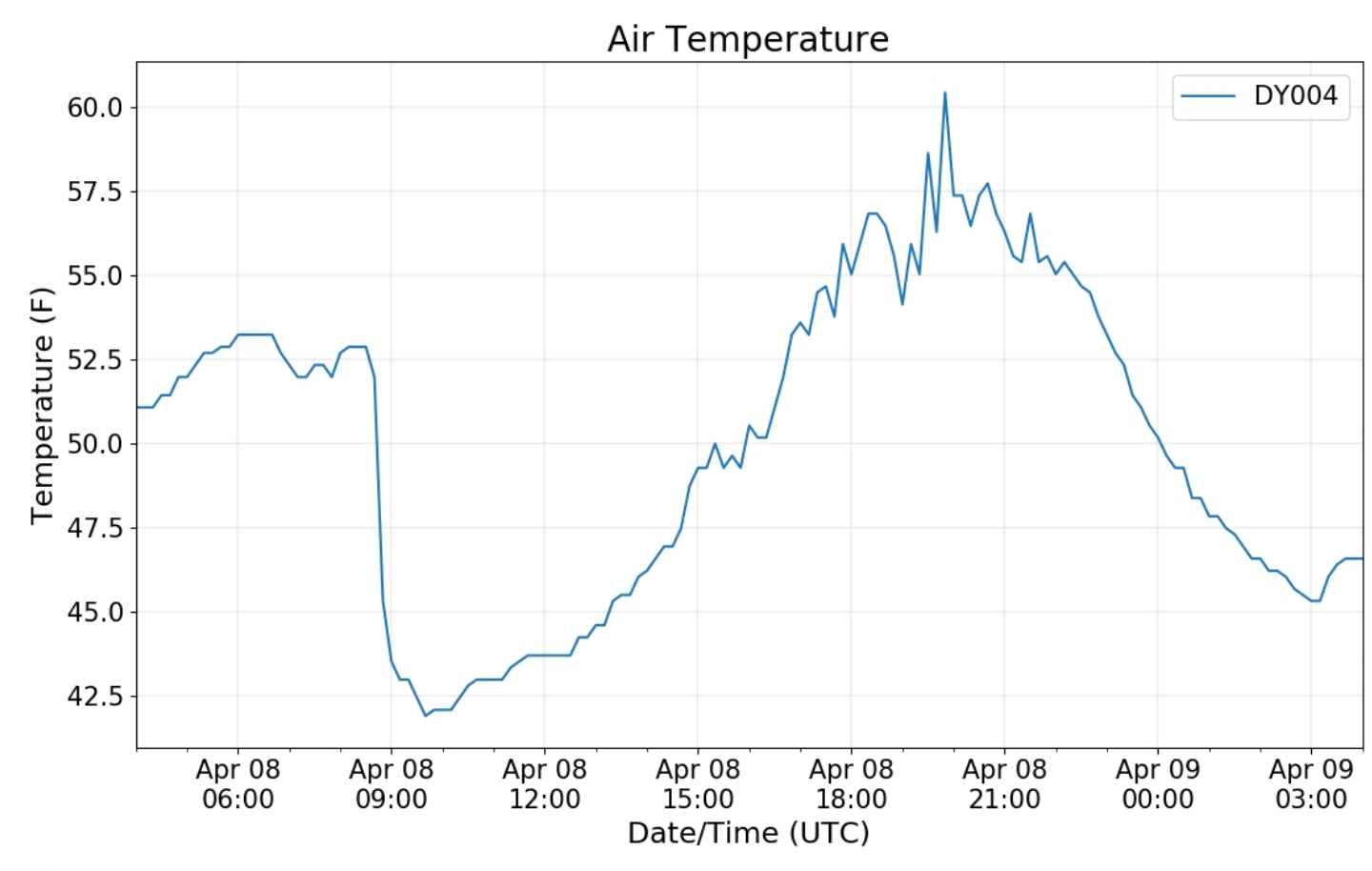
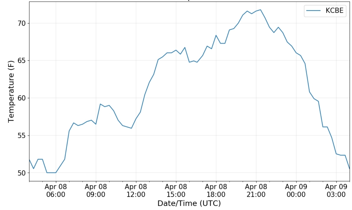
Strong storms overnight. High winds, hail, lightning, downpours…that calmed down prior to daybreak. Cloudy. Drizzle, some high ground fog in the morning, breaks of afternoon sun.
Bittinger 2nw Valley
Garrett College
Canaan Heights/Davis 3SE
Precip 1.05 7am
Snowfall season to date 93.5″
Comments by Dave Lesher at:
Climate Reference Network Canaan
Cabin Mt at Bald Knob
Cabin Mt-Western Sods
Spruce Knob
Snowshoe
Station is still offline. Since 4/7/20
Canaan Valley Refuge
7Springs
Cumberland Airport
photo by Erick Kirchner of the lightning overnight.
I also want brag on the weather enthusiasm of this young man. He has the weather bug, lots of knowledge, and eager to learn more. Great to see, and a high recommendation following his work.
Check out more of his work at:
The Valley vs Cabin Mt
Canaan area temps
Comparison view
RTMA
Radar
Satellite
Flow
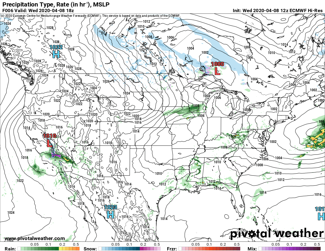
Surface features and 500mb height anomalies and flow
The Grantsville wind damage-especially Penn Alps/Spruce Village
Pretty clear this was straight line wind damage from a microburst . Everything falling eastward. 0 sign of tornado damage.
similar events
https://www.weather.gov/dlh/HermantownMicroburst
https://www.weather.gov/bmx/outreach_microbursts
its very within reason to assume the damage at the Spruce village was due to straight line winds 70-100mph
More wind damage occured in Meyersdale, knock ing the press box off the bleachers.
Within reason to believe those winds topped 70 as well, with the nearby padot station going to 69.3.


