August 6, 2020
Aug 6(Thur)
Clouds, a period of rain, scattered showers, little sun
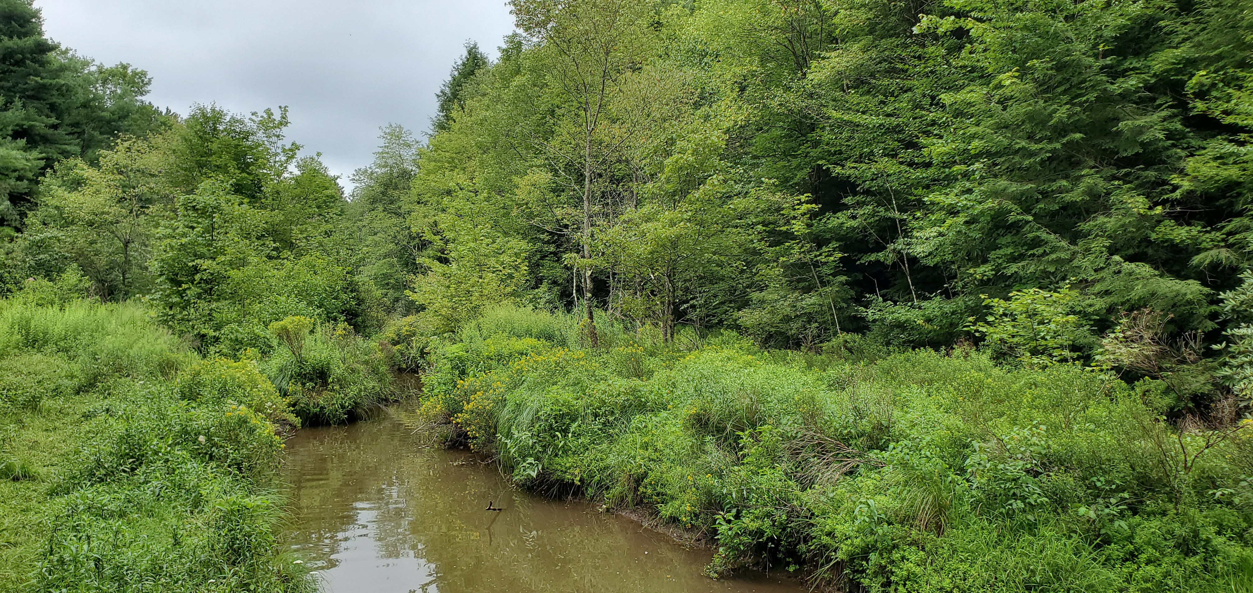
Bittinger 2nw Valley
Bittinger 2nw Valley early morning 8/6/20 west of Bittinger afternoon 8/6/20 near Bittinger 2nw afternoon 8/6/20 Bittinger 2nw Valley afternoon 8/6/20 Bittinger 2nw Valley evening 8/6/20 Bittinger 2nw Valley evening “Jack n Pulpit” 8/6/20 Bittinger 2nw Valley evening 8/6/20 Bittinger 2nw Valley evening 8/6/20 Bittinger afternoon Garrett College
by Garrett College afternoon Cherry Creek along Mosser Rd evening 8/6/20 Mchenry 8/6/20 Canaan Heights/Davis 3SE
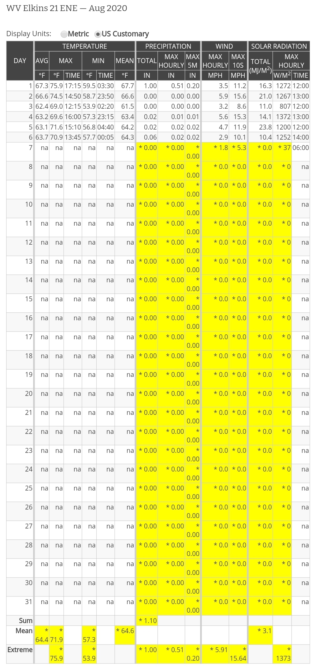
Precip 0 7am
Year to date total precip 42.83
Comments and data by Dave Lesher at:
http://data.canaanmtnsnow.com
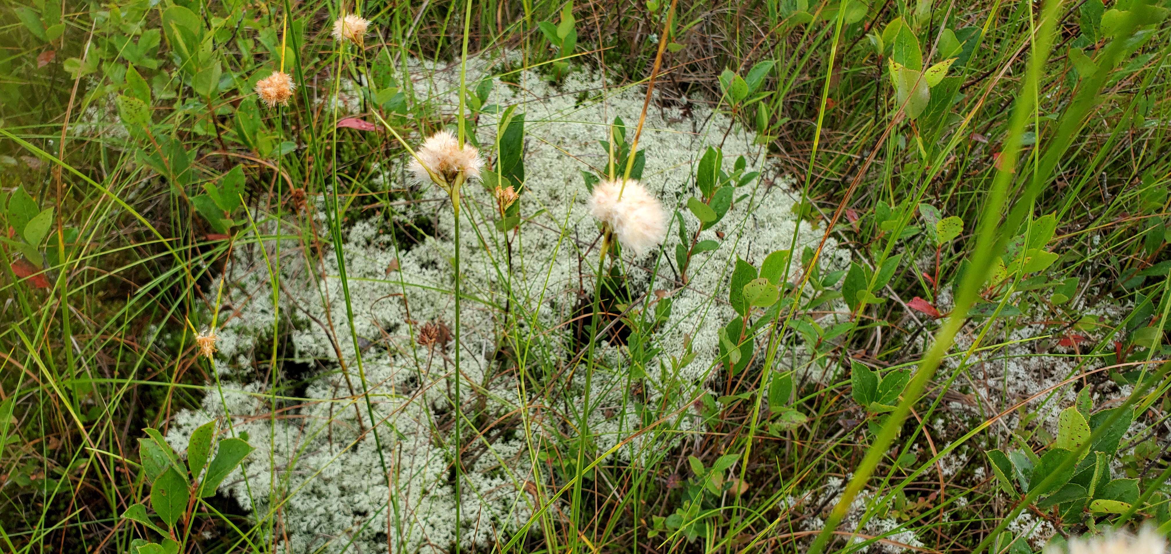
Canaan Mt “light a.m shower” 8/6/20 Canaan Mt morning 8/6/20 Canaan Mt morning 8/6/20 Canaan Mt Bog 8/6/20 Canaan Mt bog 8/6/20 Canaan Mt bog 8/6/20 Canaan Mt bog 8/6/20 Canaan Mt bog 8/6/20 Canaan Mt bog 8/6/20 Canaan Mt bog 8/6/20 Canaan Mt bog 8/6/20 Canaan Mt bog 8/6/20 Canaan Mt bog 8/6/20 Canaan Mt bog 8/6/20 Canaan Mt bog 8/6/20 Canaan Mt bog 8/6/20 Canaan Mt bog 8/6/20 Canaan Mt bog 8/6/20 Canaan Mt bog 8/6/20 Canaan Mt bog 8/6/20 Canaan Mt bog 8/6/20 Canaan Mt bog 8/6/20 Climate Reference Network Canaan
Cabin Mt at Bald Knob
Bald Knob morning 8/6/20 Cabin Mt-Western Sods
Spruce Knob
Snowshoe
Canaan Valley Refuge
Data is from the northern valley by Glade Run, the upcoming photos are on the Refuge in the southern end if the valley at the newly redone Freeland boardwalk.
New York ironweed 7Springs
Petersburg Grant County Airport
Station remains down…..
The Valley vs Cabin Mt
Canaan area temps
Comparison view
High Ground Comparison
Up High and Down Low
Up High, High Valley, Low Valley
RTMA
interesting how it struggles over Canaan Radar
Satellite
Subbing in a alternate image vs goes16. Had a failed save on it.
Flow
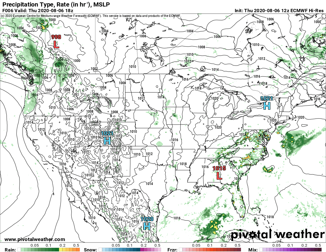
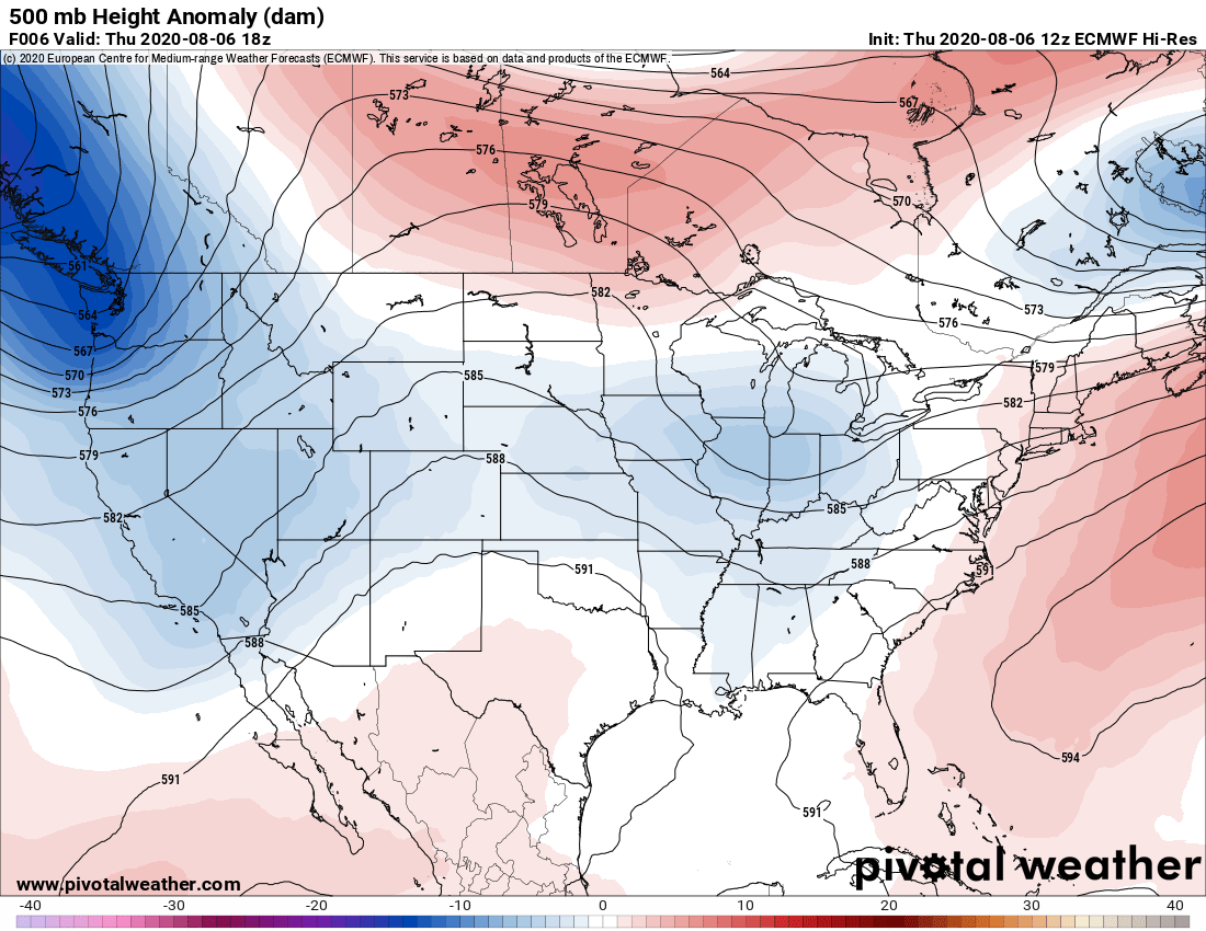
Surface features and 500mb height anomalies and flow
By Redhouse
Davis
Cranesville to Sang Run
Cranesville morning Cranesville afternoon The Yough at Sang Run Oakland area


