September 1, 2020
Sept 1(Tues)
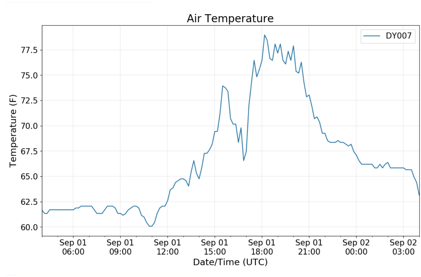
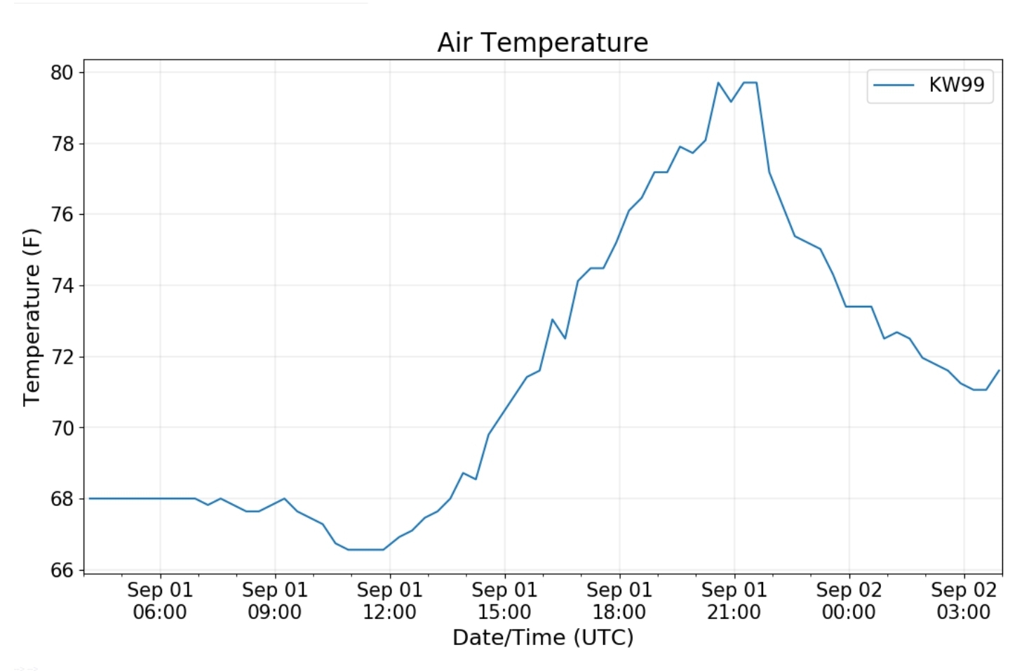
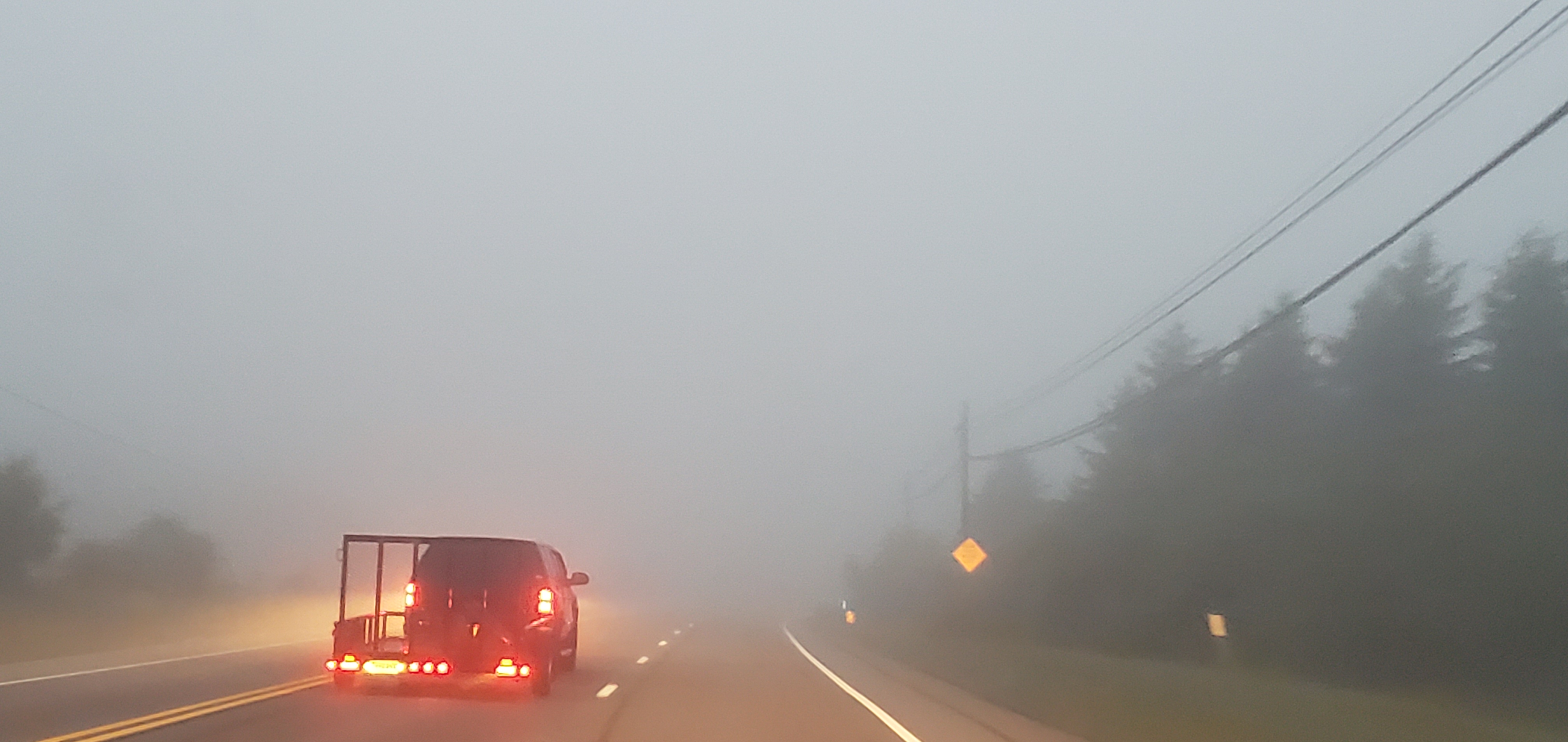
Cloudy, dreary, showery, fog…things brightened in western areas today later, while fog held east side..
Bittinger 2nw Valley
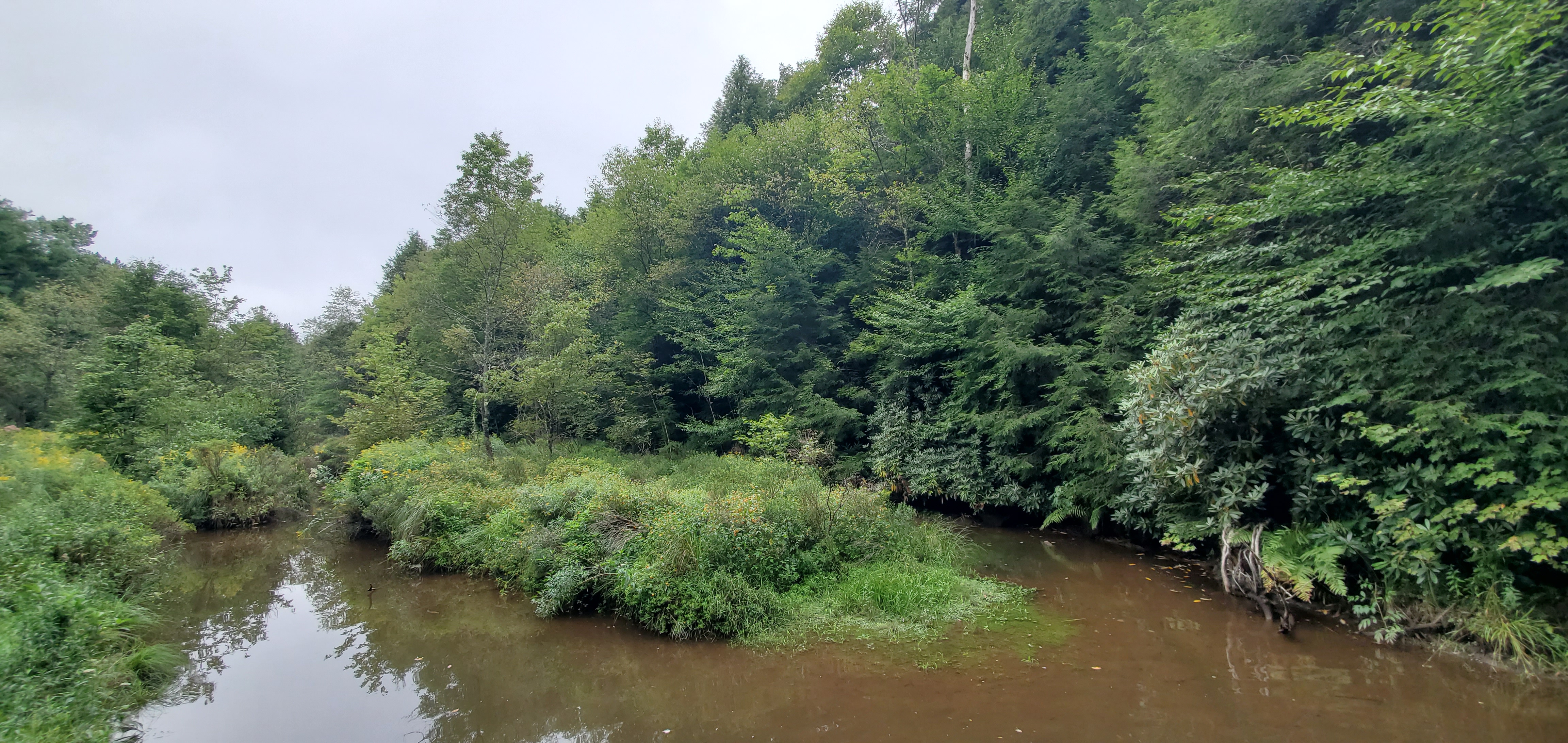
Rock Lodge Rd near north branch of the Cassleman 9/1/20
Bittinger midday 9/1/20
Bittinger midday 9/1/20
Looking NW from Bittinger midday 9/1/20
west of Bittinger afternoon 9/1/20
near Bittinger 2nw afternoon 9/1/20
near Bittinger 2nw afternoon 9/1/20
Bittinger 2nw Valley afternoon 9/1/20
Bittinger 2nw Valley afternoon 9/1/20
Bittinger 2nw Valley afternoon 9/1/20
Garrett College
Deep Creek Lake morning 9/1/20
Rock Lodge Rd morning 9/1/20
Rock Lodge Rd morning 9/1/20
Rock Lodge Rd near The Glades 9/1/20
Rock Lodge Rd near the Glades morning 9/1/20
Cherry Creek area along Mosser Rd afternoon 9/1/20
Garrett College afternoon 9/1/20
Rock Lodge Rd afternoon 9/1/20
Canaan Heights/Davis 3SE
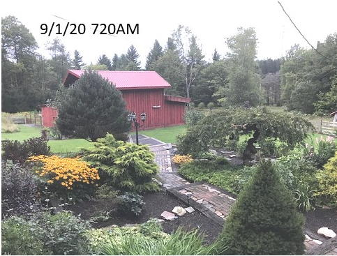
Precip .35 7am
Year to date total precip 46.99
Comments and data by Dave Lesher at:
http://data.canaanmtnsnow.com/
photo by Dave Lesher
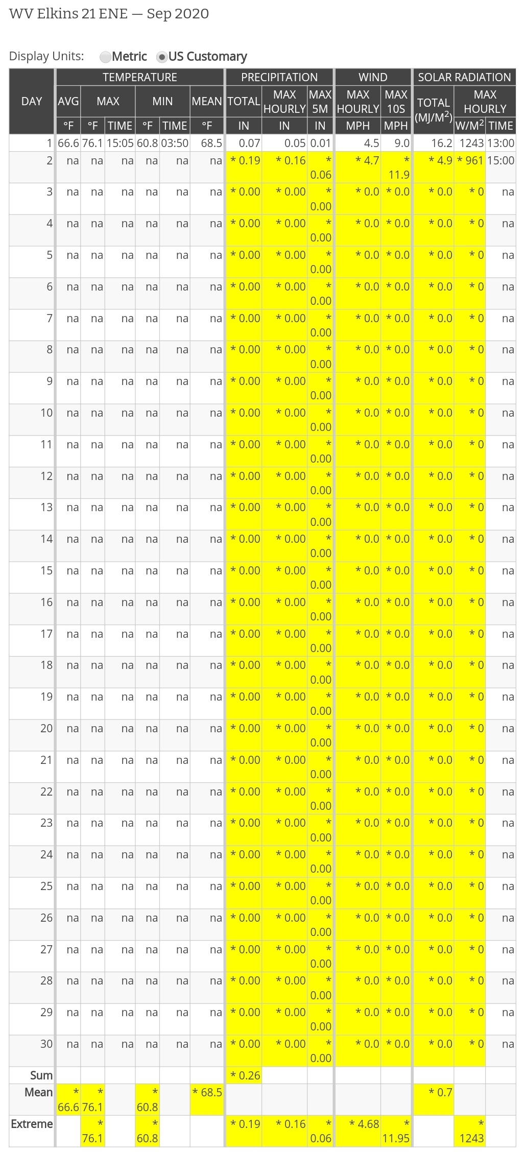
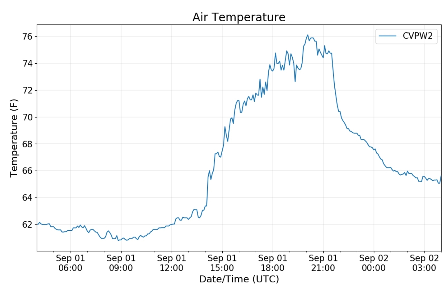
Climate Reference Network Canaan
Cabin Mt at Bald Knob
Cabin Mt-Western Sods
Spruce Knob
Snowshoe
Canaan Valley Refuge
7Springs
Petersburg Grant County Airport
The Valley vs Cabin Mt
RTMA
Radar
Satellite
Flow
Surface features and 500mb height anomalies and flow
33 east of Harman at the divide
north of Oakland
219 near Sand Flat. ..this area broke into afternoon sun
Savage Mt
these 4 photos were during late afternoon
midday low cloud/fog zone
North Fork Mt
Frostburg
Grantsville


