October 30, 2020
Oct 30(Fri)
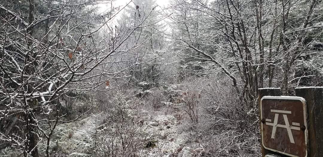
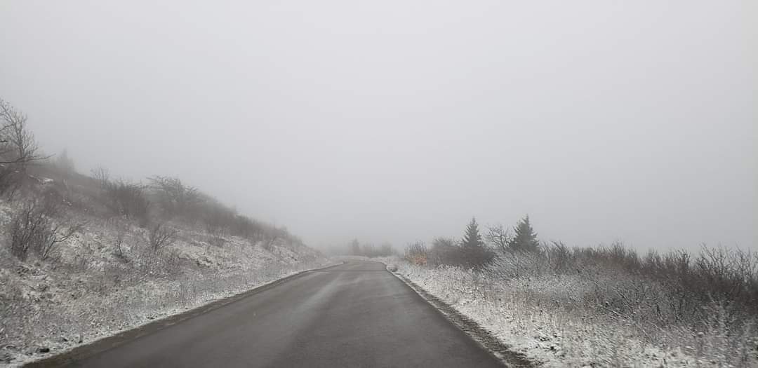
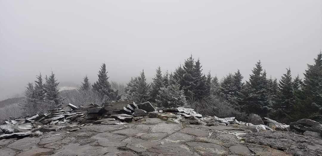
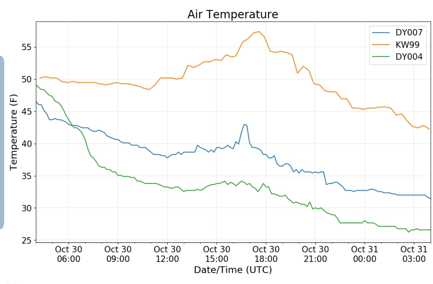
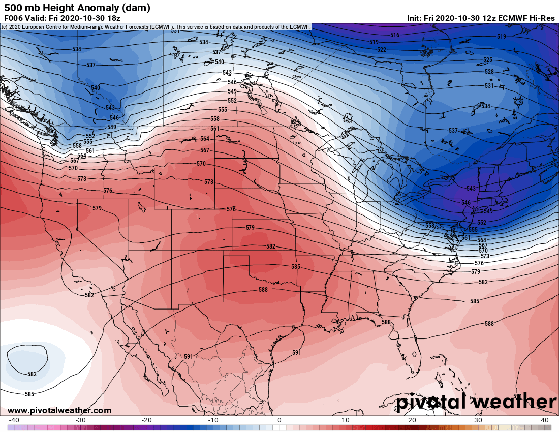
Light rain, drizzle, wind, areas of fog,,turning colder and some high ground snow late. Some stickage above 3700′..
Bittinger 2nw Valley
Garrett College
Canaan Heights/Davis 3SE
Precip .97 7am
Snowfall .2 occured today
Season to date snowfall .2
Year to date total precip 53.59
Comments and data by Dave Lesher at:
http://data.canaanmtnsnow.com/
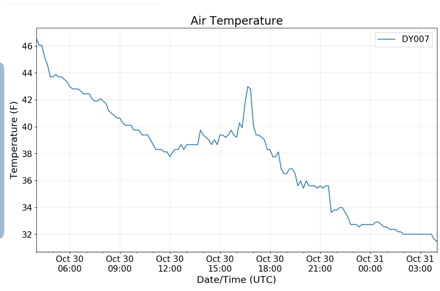
“Soaking rain of 1.82 inches past 48 hours was greatly needed to recharge streams and ponds. Slowly falling temperatures from the 50s yesterday” to the mid 30s this morning. First snowflakes mixed in with rain shortly after noon, changing to all snow by mid afternoon with several moderate to briefly heavy snow squalls late afternoon to early evening. Any whitening of the ground mostly melted between snow squalls”
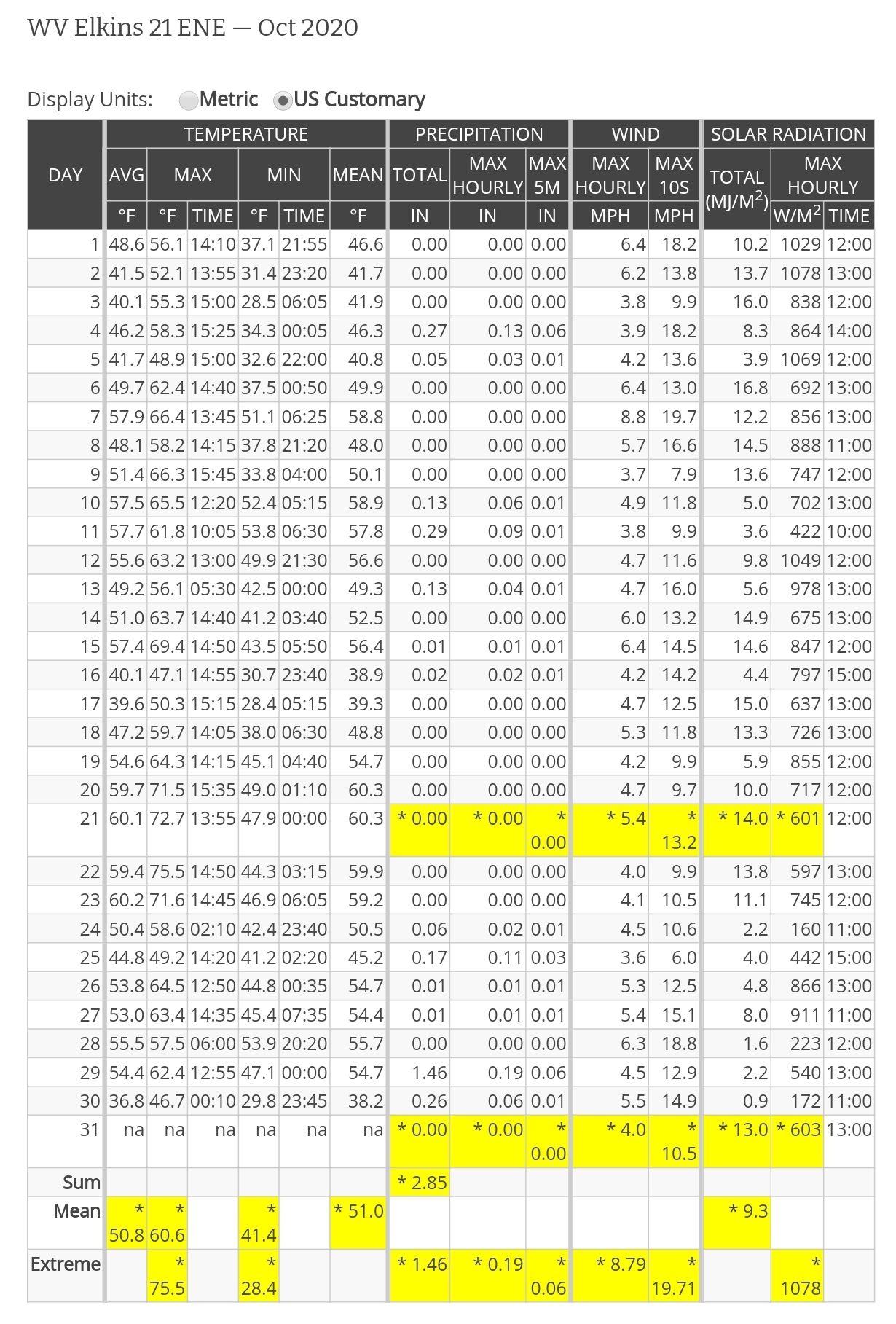
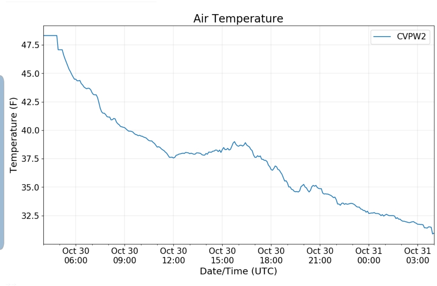
Climate Reference Network Canaan
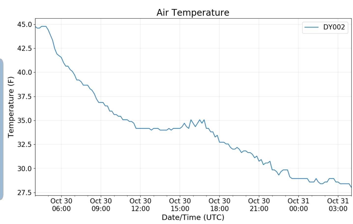
Cabin Mt at Bald Knob
Cabin Mt-Western Sods
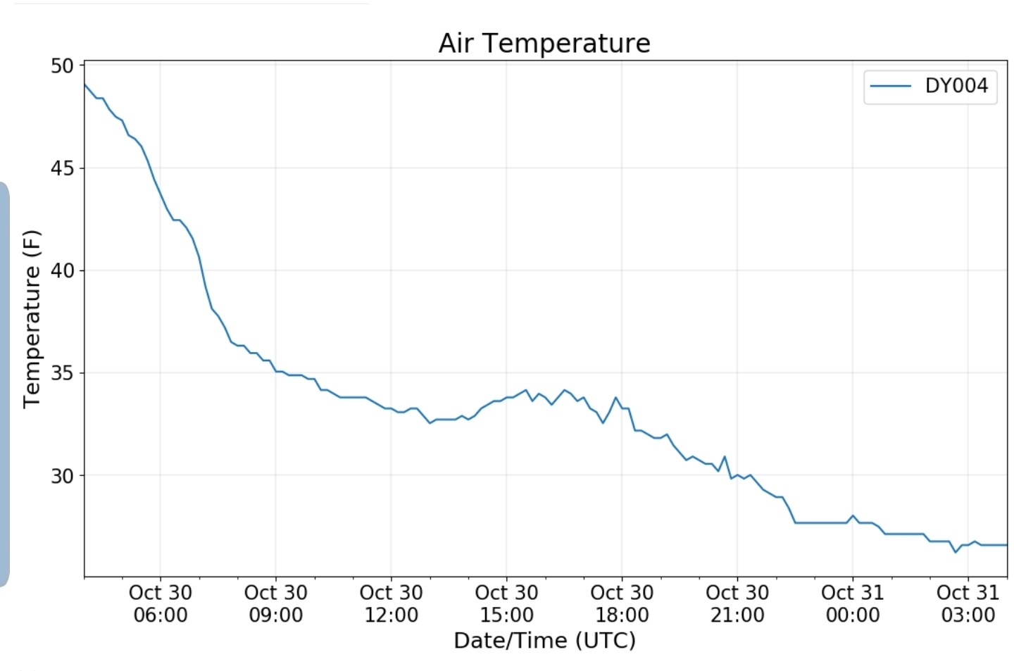
Spruce Knob
photos by Judy Mullens
Canaan Valley Refuge
Snowshoe
photos by Jeremy Cutlip at Snowshoe
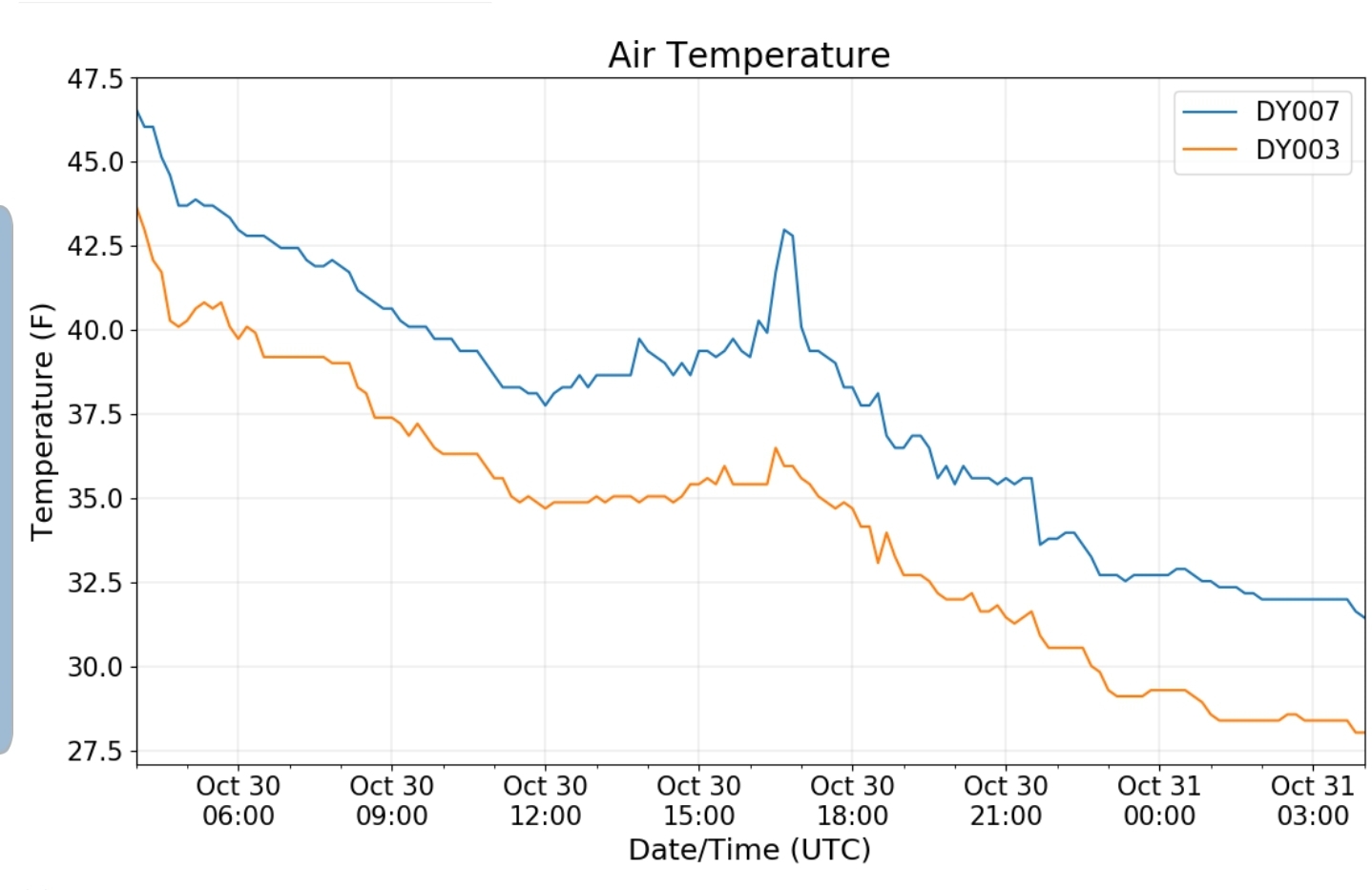
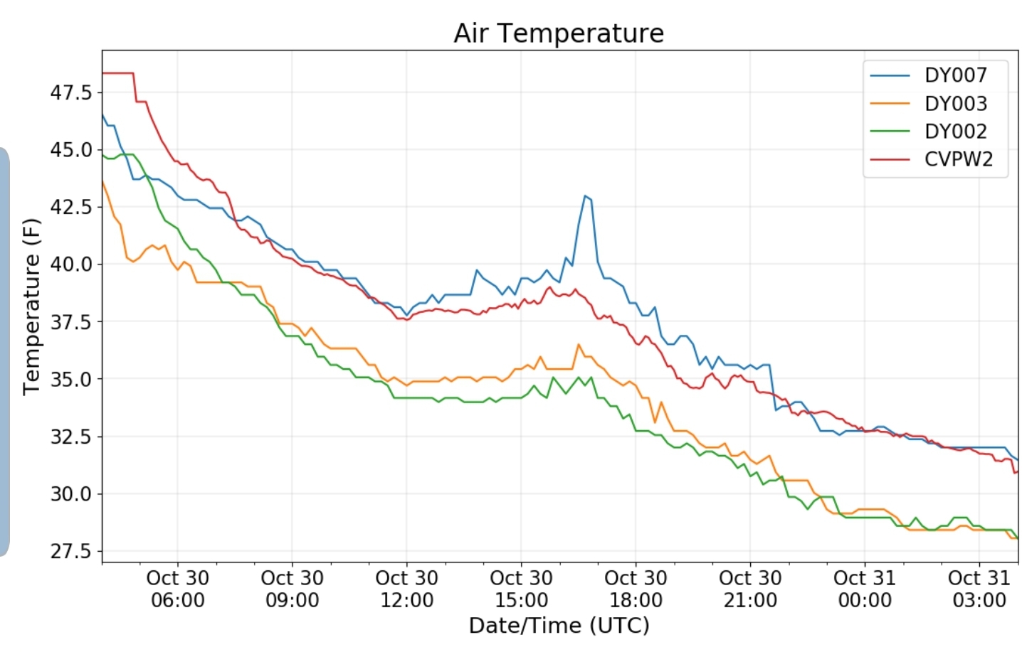
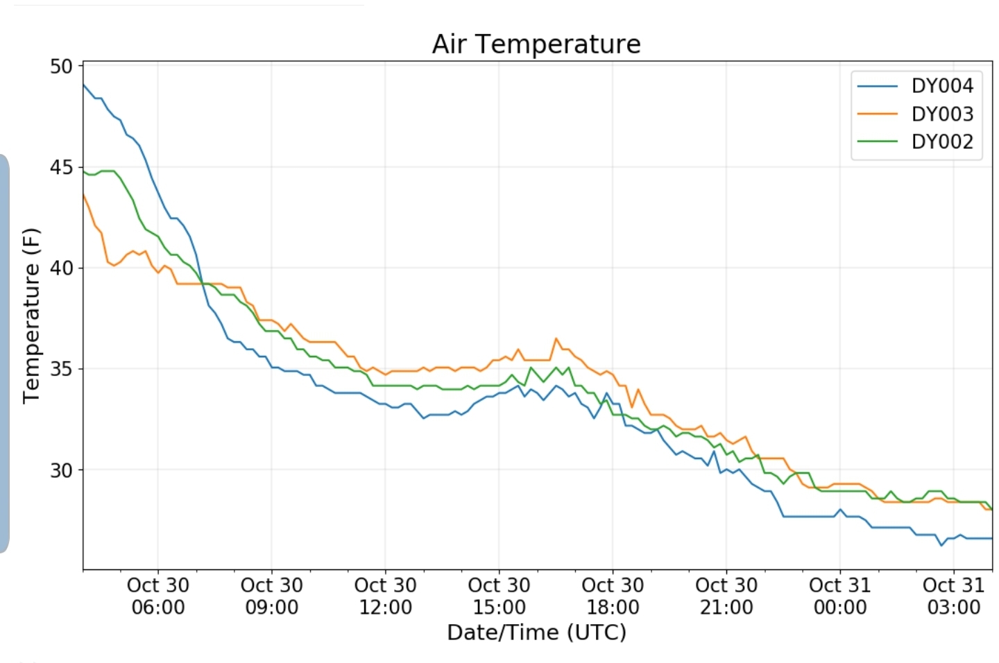
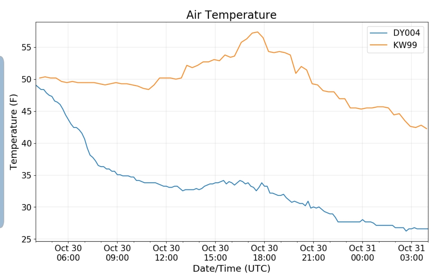
Dy007-Canaan Valley Refuge 3150′, Dy002-Cabin Mt at Bald Knob 4350′, Dy003-Cabin Mt/Sods 4035′, Dy004-Spruce Knob 4820′, Cvpw2-Climate Reference Network Canaan 3479′, KW99-Petersburg Grant County Airport 961′


