Dec 16(Wed)
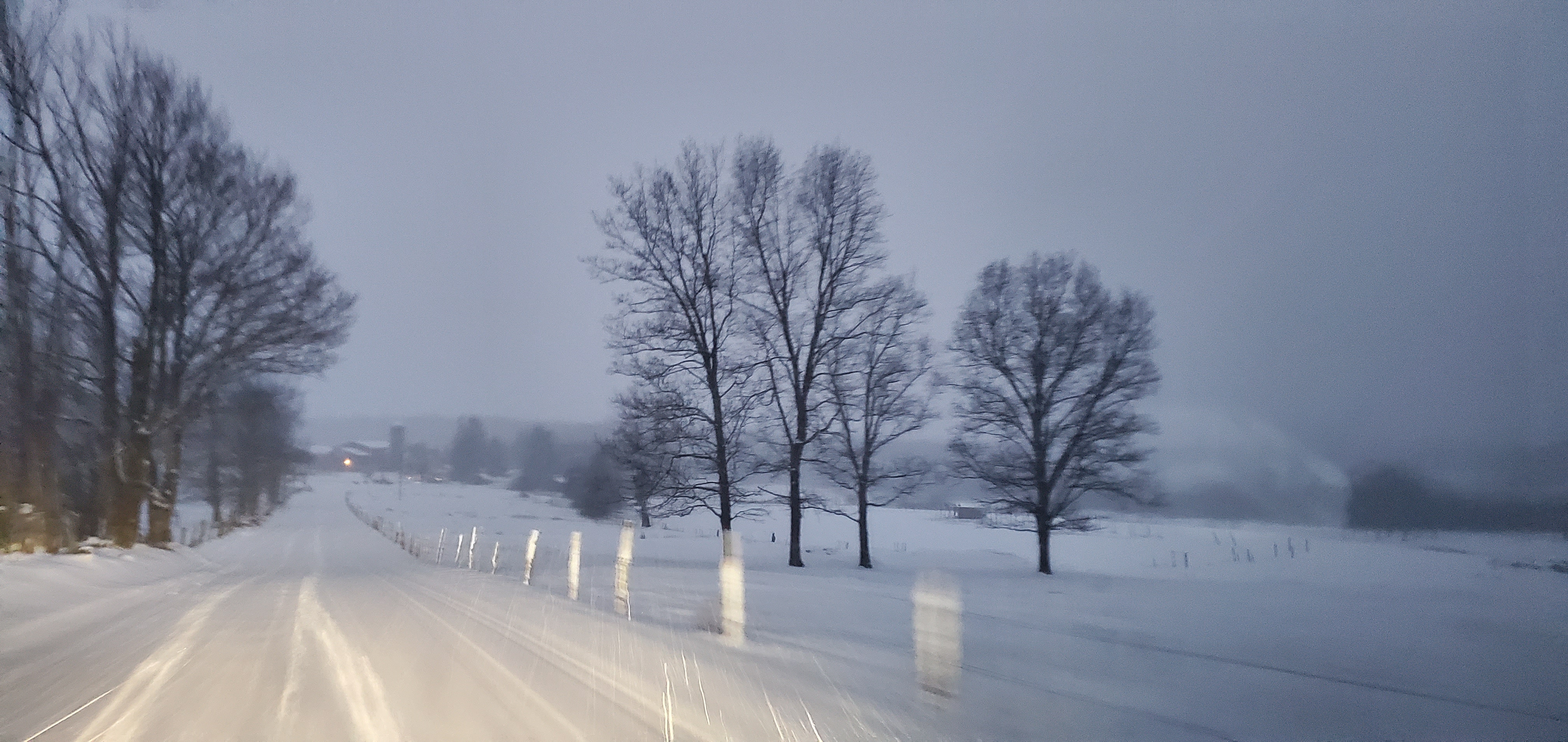
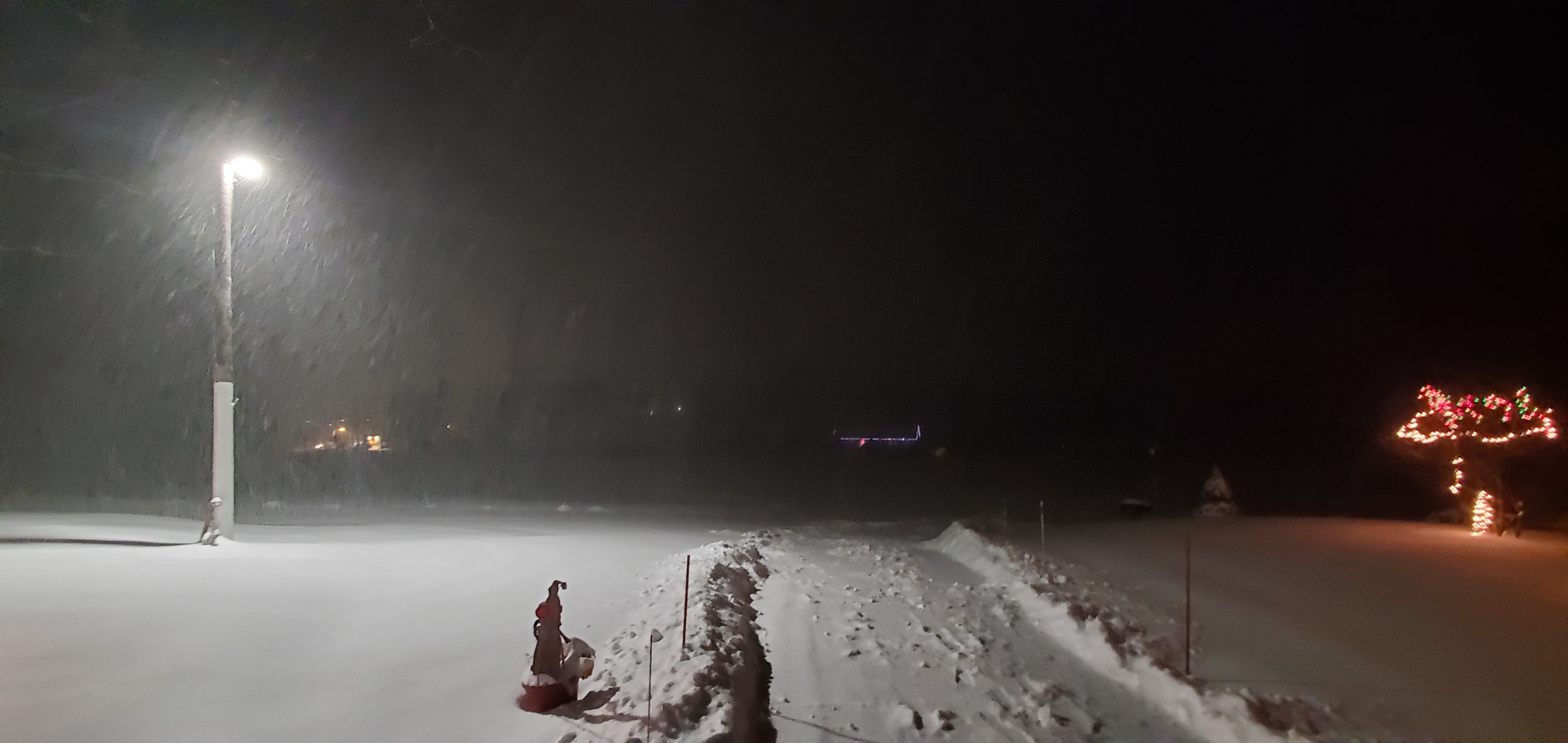
Cloudy, snow breaking out at 9-10am. Earlier than modeled. Moderate snow, pockets of heavy, areas where mild air aloft with freezing drizzle, sleet…my immediate area mainly snow.
Bittinger 2nw Valley
Garrett College
Min 21.2 Max 23.4 Avg 22.3
Canaan Heights/Davis 3SE
Precip 0 7am
Year to date total precip 60.72
Snowfall season to date 24.0″
Comments and data by Dave Lesher at:
“Overcast and 21F at daybreak. Light snow commenced mid morning, tapering to light freezing drizzle most of the afternoon, then back to light snow through the evening” |
Climate Reference Network Canaan
Cabin Mt at Bald Knob
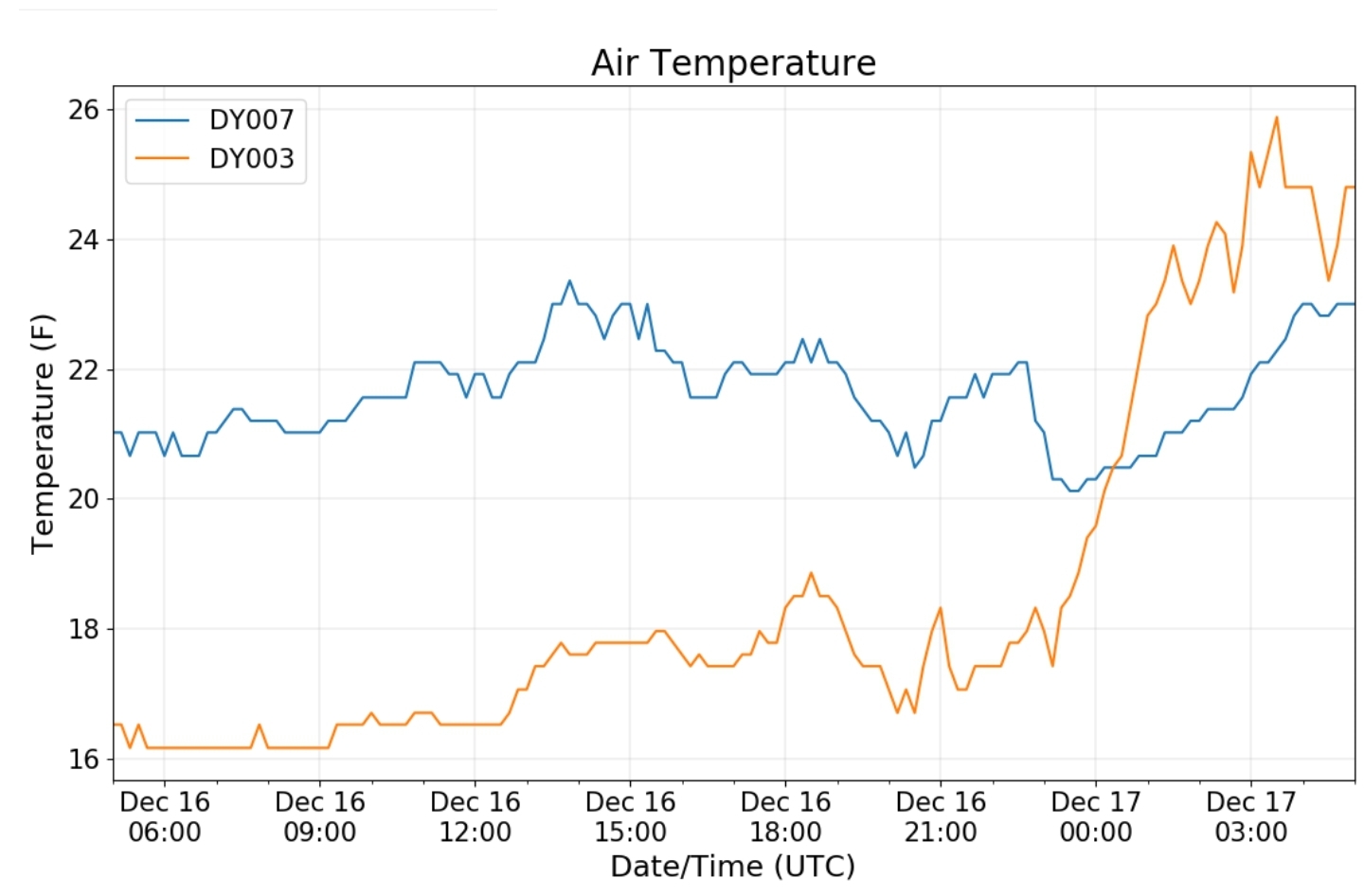
Cabin Mt-Western Sods
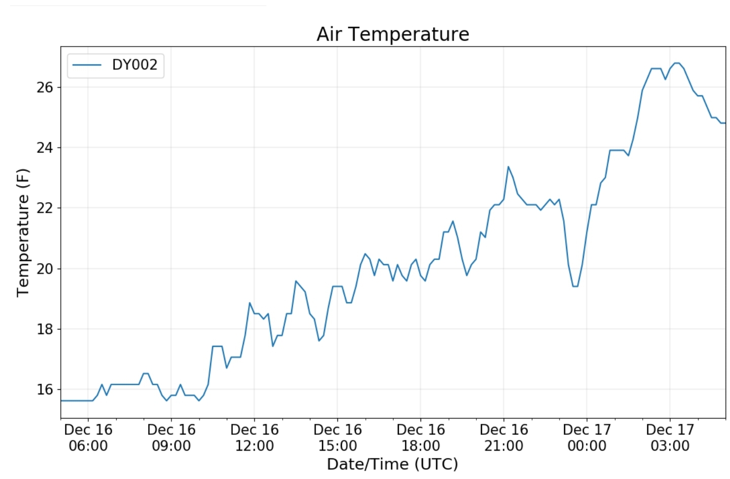
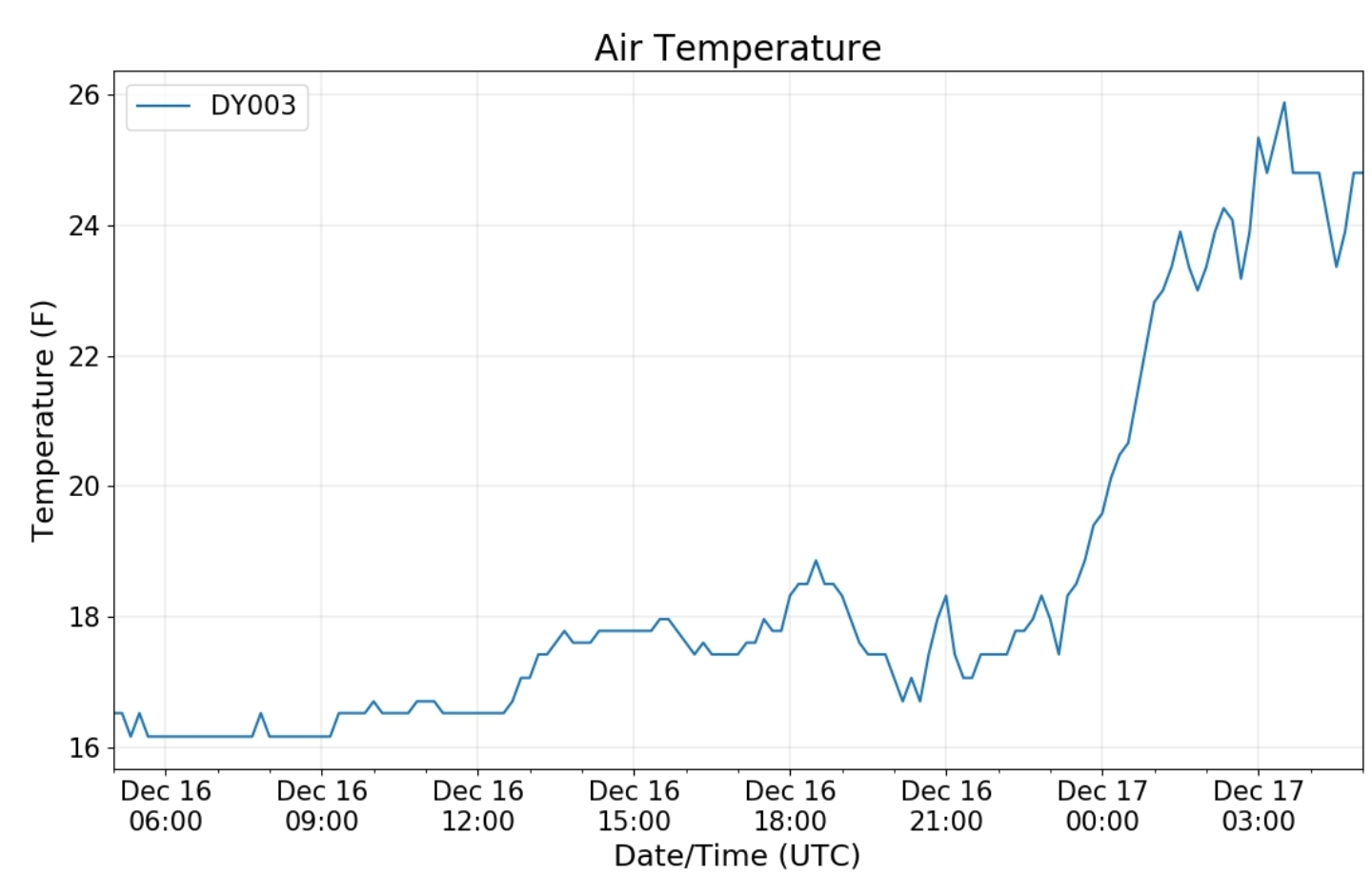
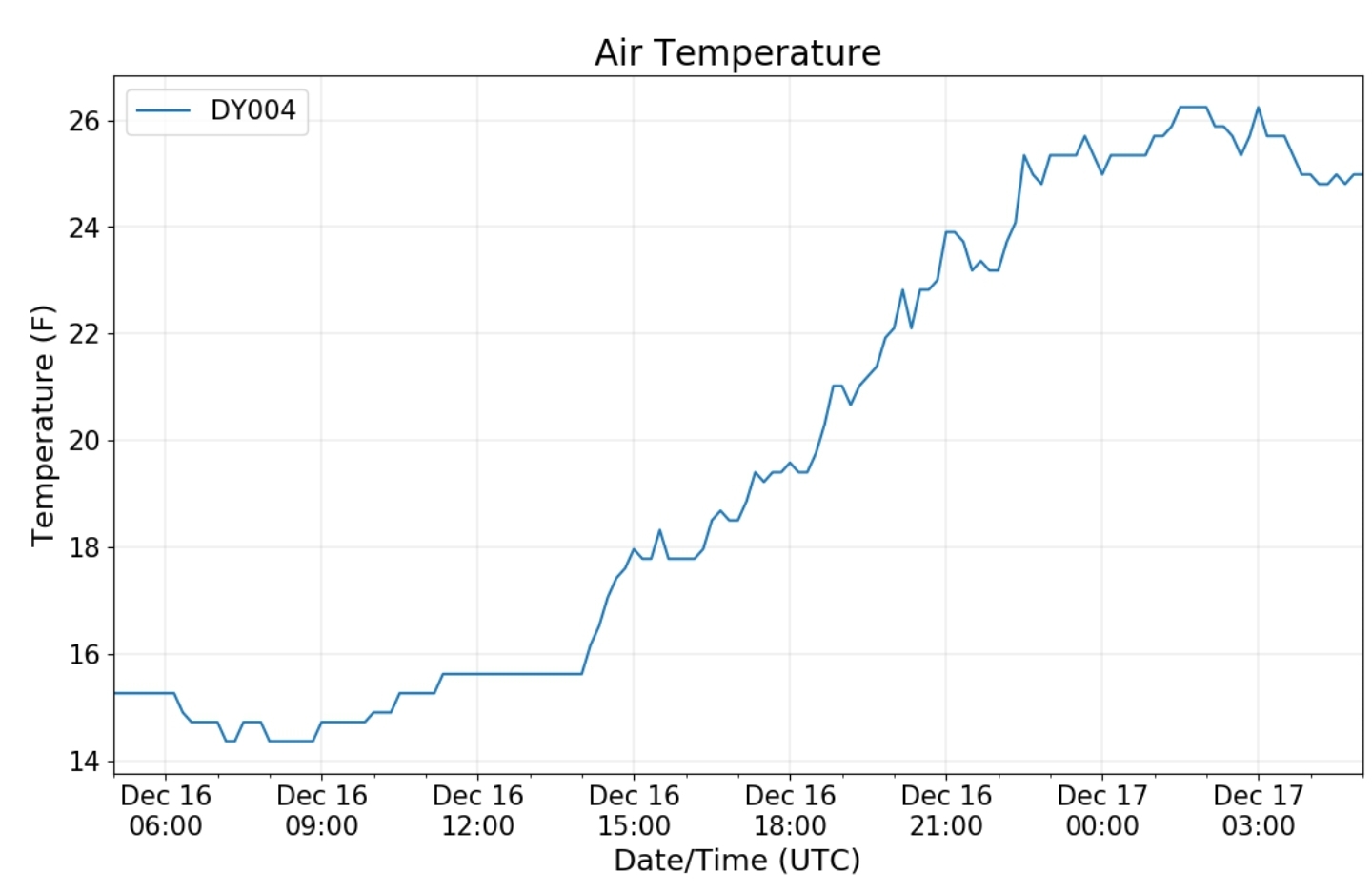
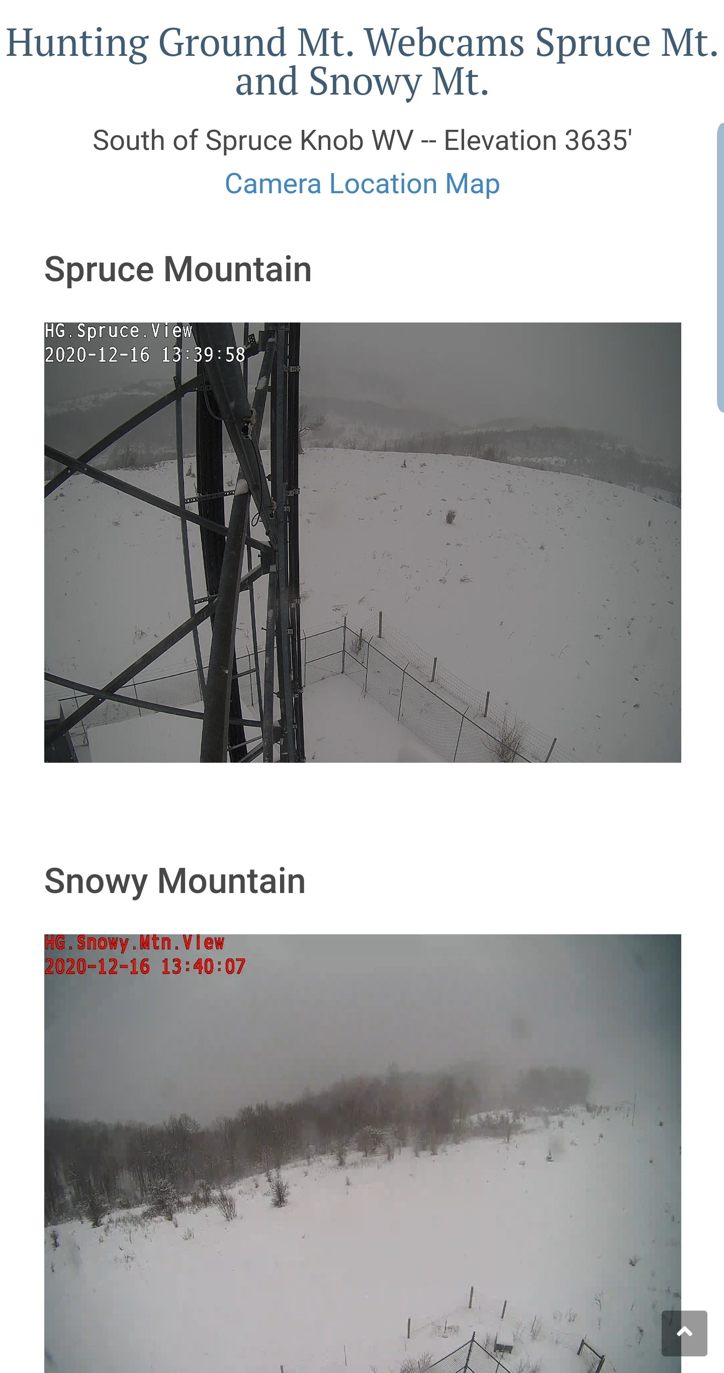
Spruce Knob
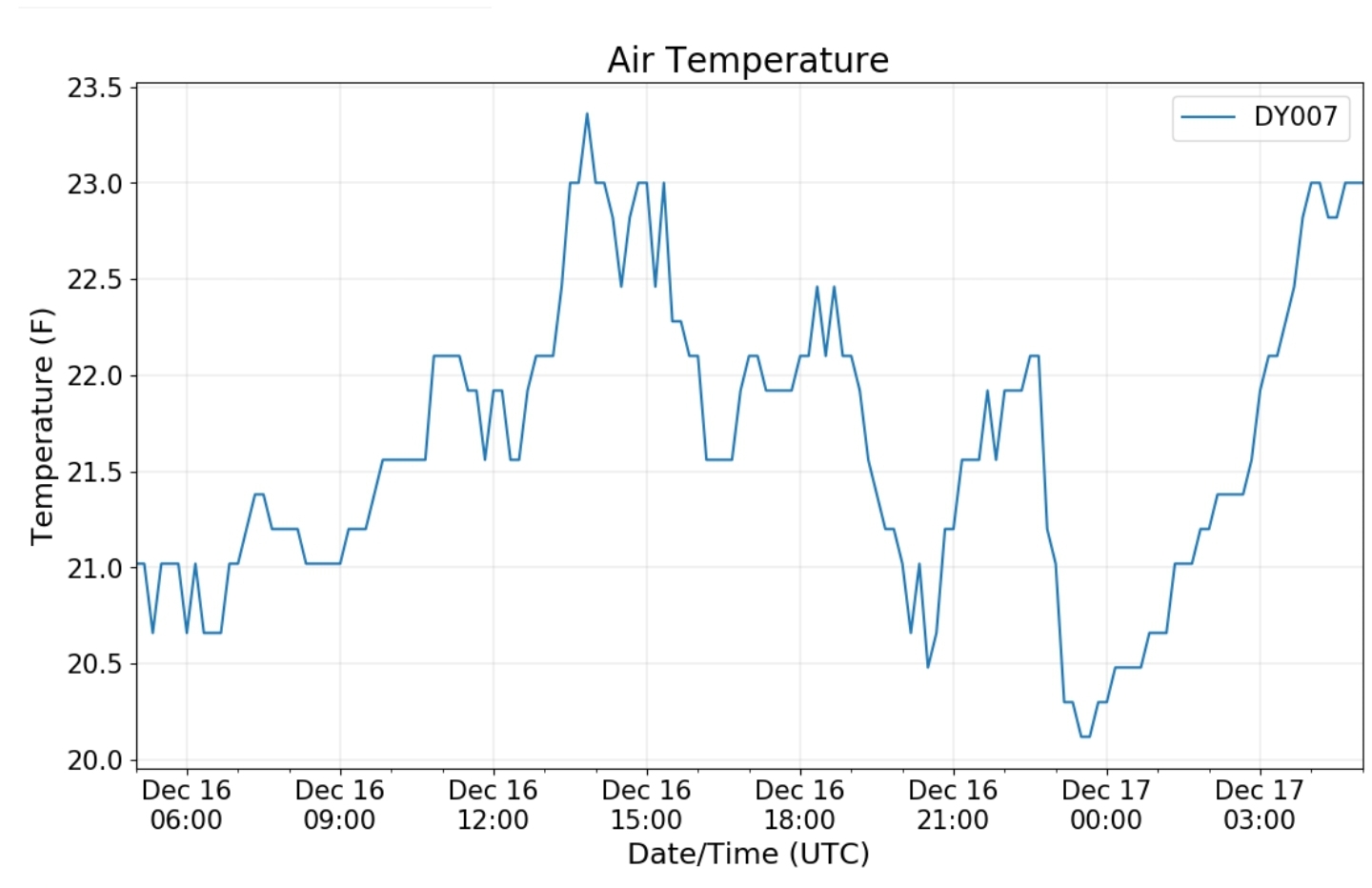
Canaan Valley Refuge
Mt. Davis
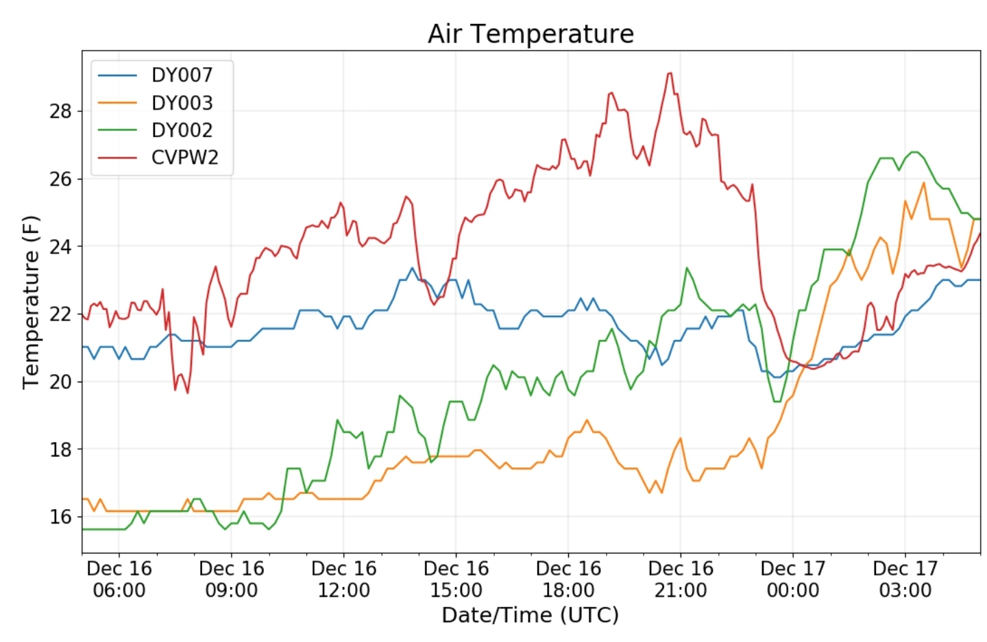
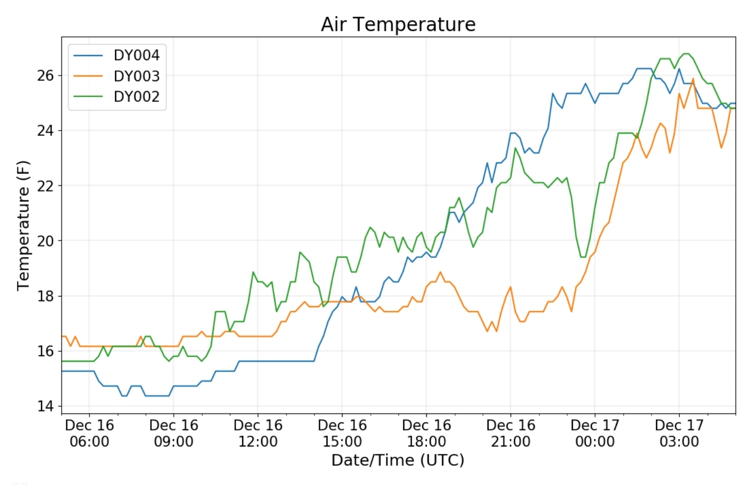
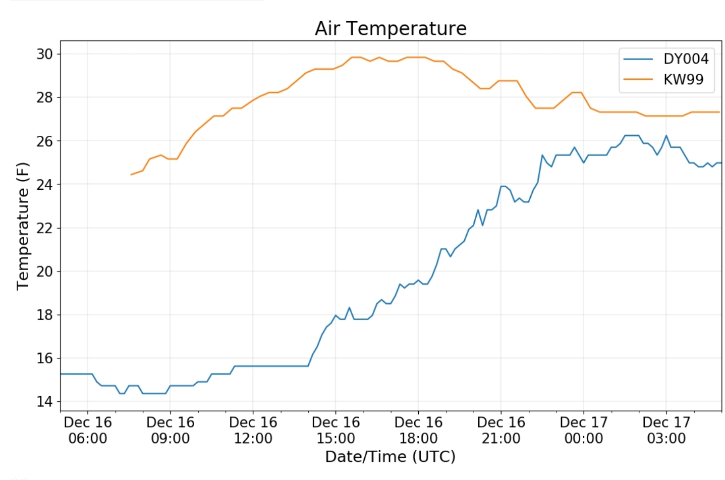
Dy007-Canaan Valley Refuge 3150′, Dy002-Cabin Mt at Bald Knob 4350′, Dy003-Cabin Mt/Sods 4035′, Dy004-Spruce Knob 4820′, Cvpw2-Climate Reference Network Canaan 3479′, KW99-Petersburg Grant County Airport 961′


