December 31, 2020
Dec 31(Thur)
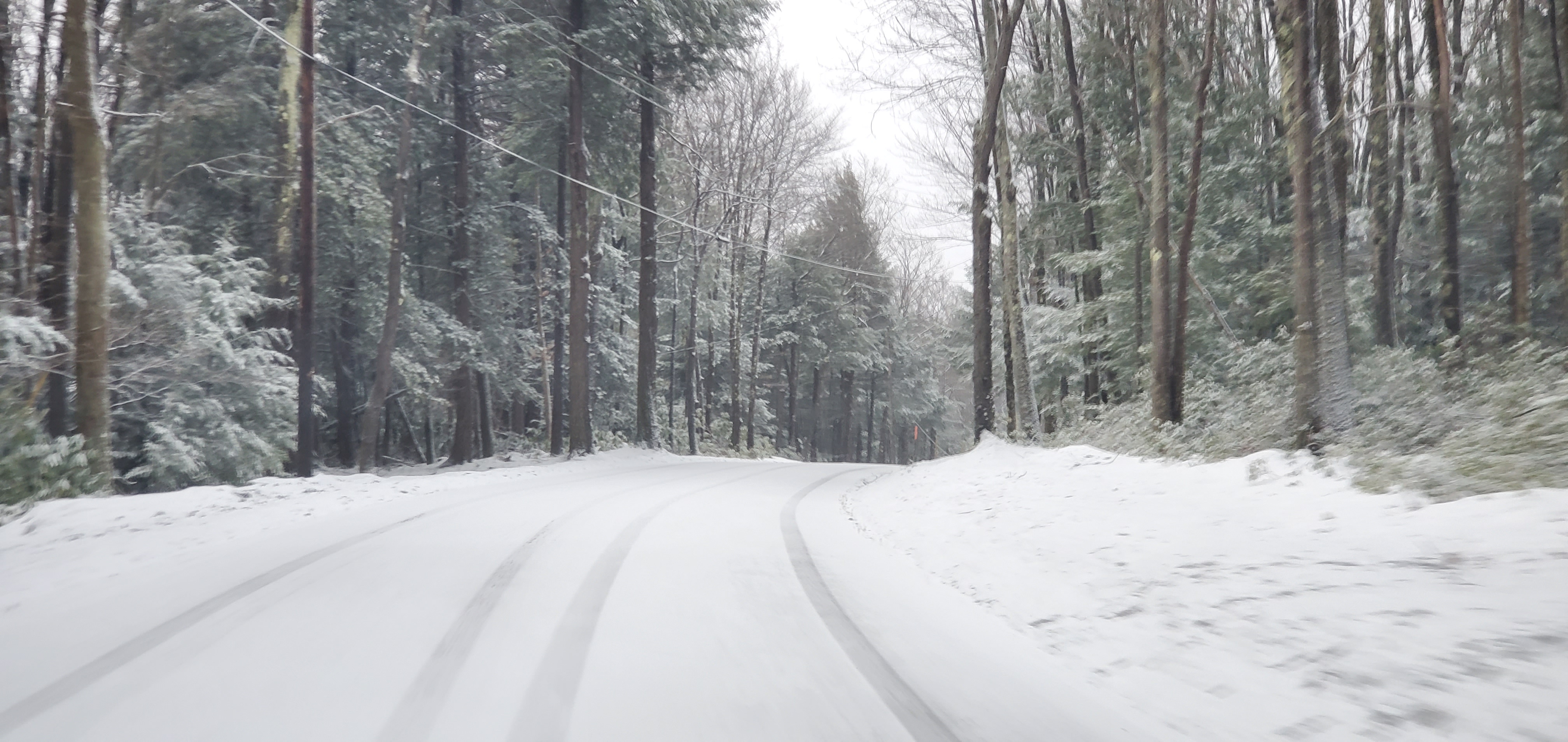
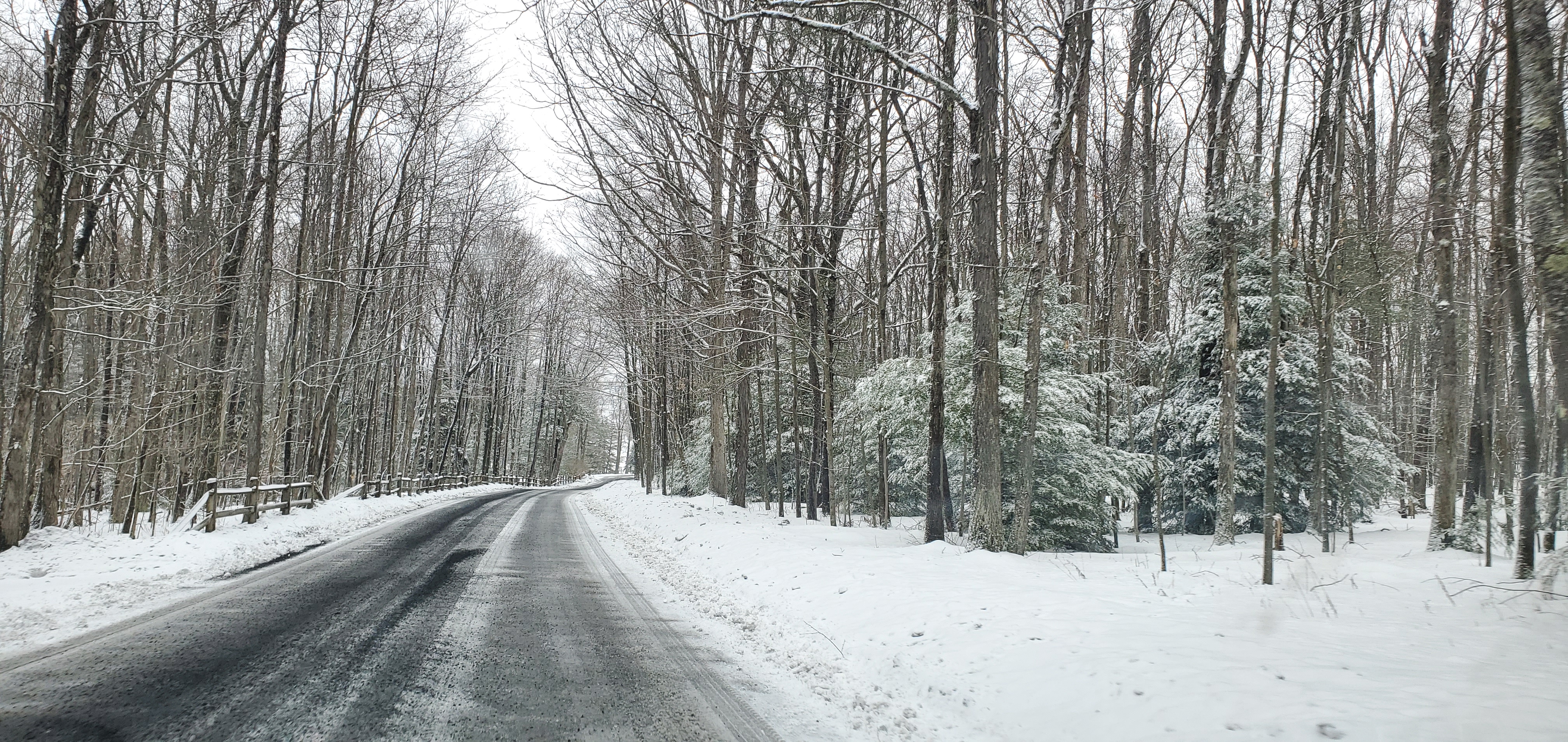
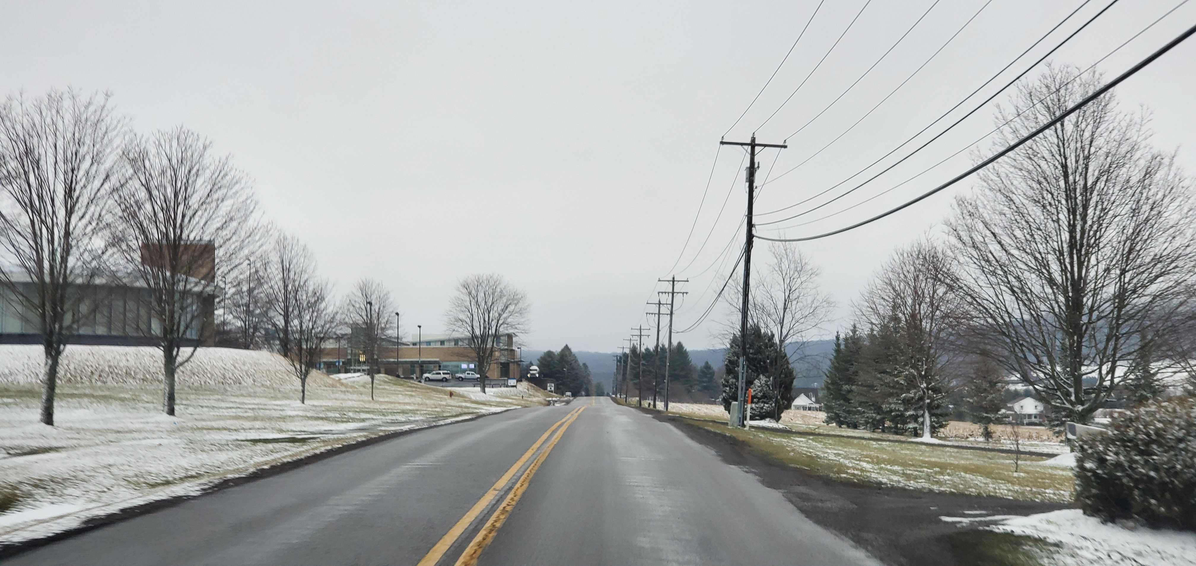
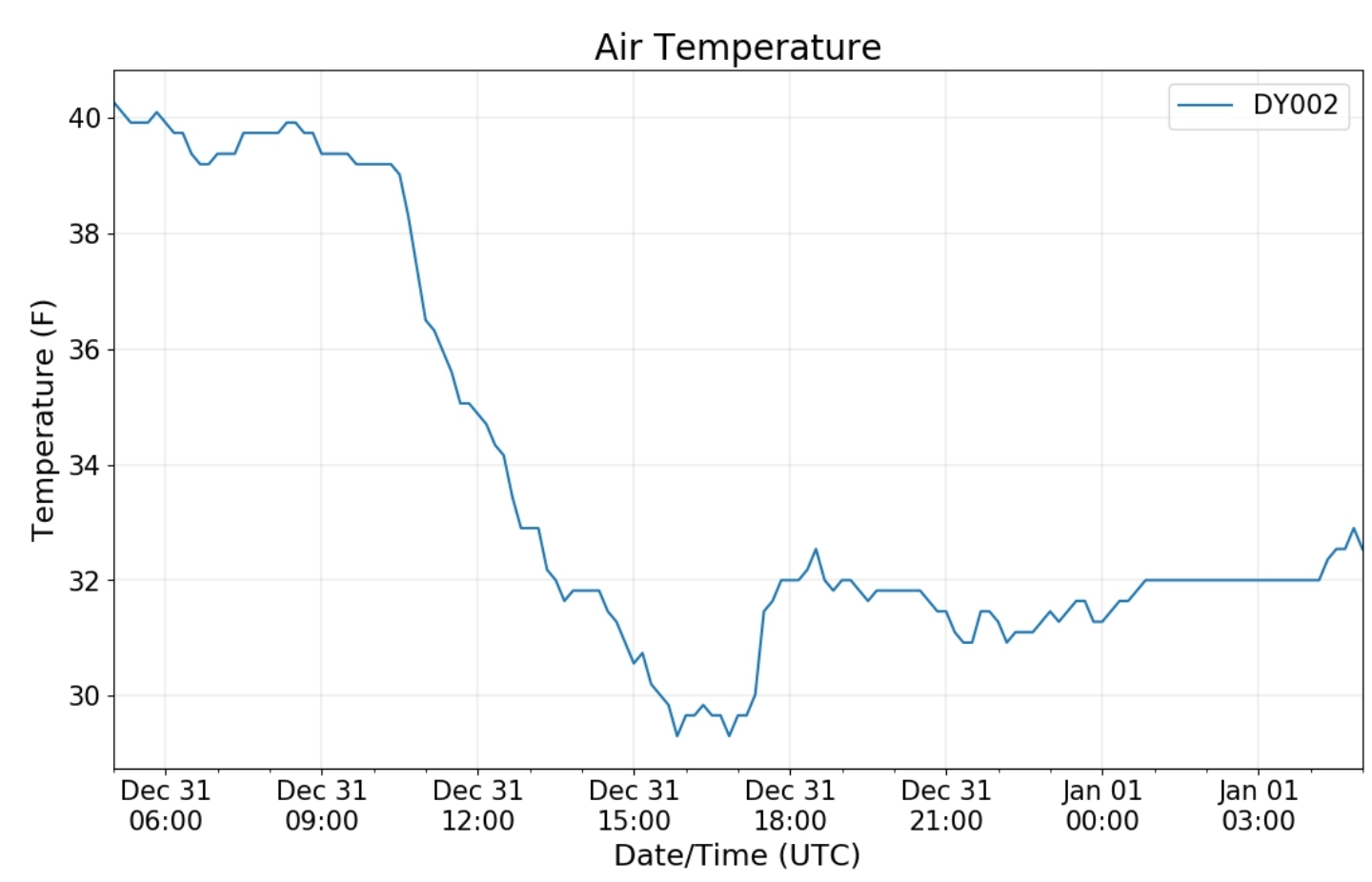
Showers, mild night transitioning predawn to colder and a change to brief sleet and snow. Mainly Garrett on north and west. West side of the mts to Elkins north with flakes. Best Accumulation was Cranesville to Mt. Davis, straddling the Mason Dixon and north to 7Springs and just west. A general 1-2″..
Bittinger 2nw Valley
New snowfall .8″
Snowfall season to date 38.7″
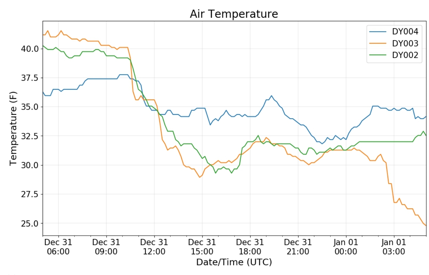
Max temps for 30th and 31st a bit misleading for the overall feel as it was brief and occured at midnight.
Garrett College
Min 26.1 Max 49.9 Avg 38.0
Canaan Heights/Davis 3SE
Precip .09 7am
Year to date final tally of total precip 62.94 7am
New snow T- post 7am Will get listed on the 1st
Snowfall season to date 41.9
Comments and data by Dave Lesher at:
Climate Reference Network Canaan
Cabin Mt at Bald Knob
- Winter precip will not all be in tally leaving monthly precip totals much lower vs reality
Cabin Mt-Western Sods
- Winter precip will not all be in the tally leaving precip totals lower than reality
Spruce Knob
- Winter precip tallies will be shown lower than reality
Canaan Valley Refuge
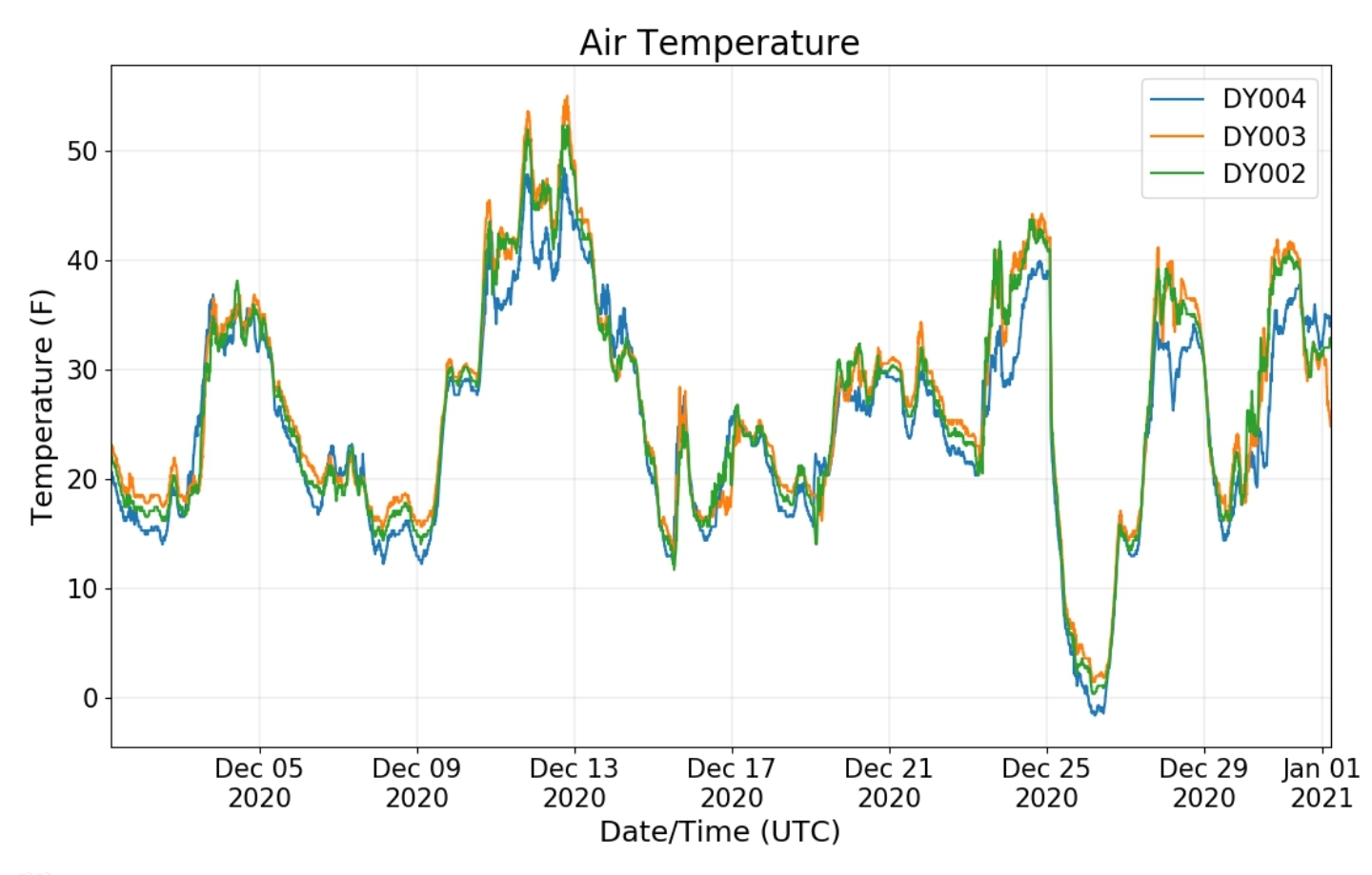
- Every day this month fell below freezing at some point
Mt. Davis
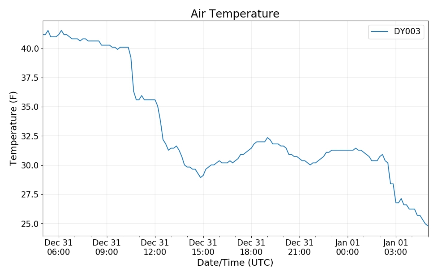
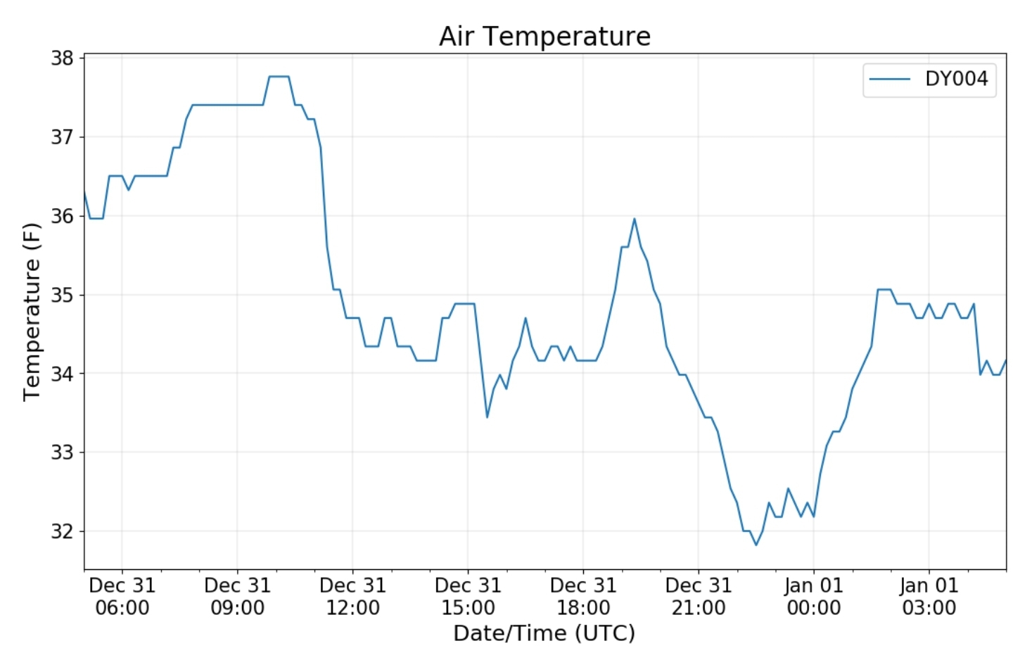
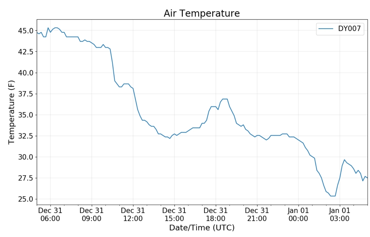
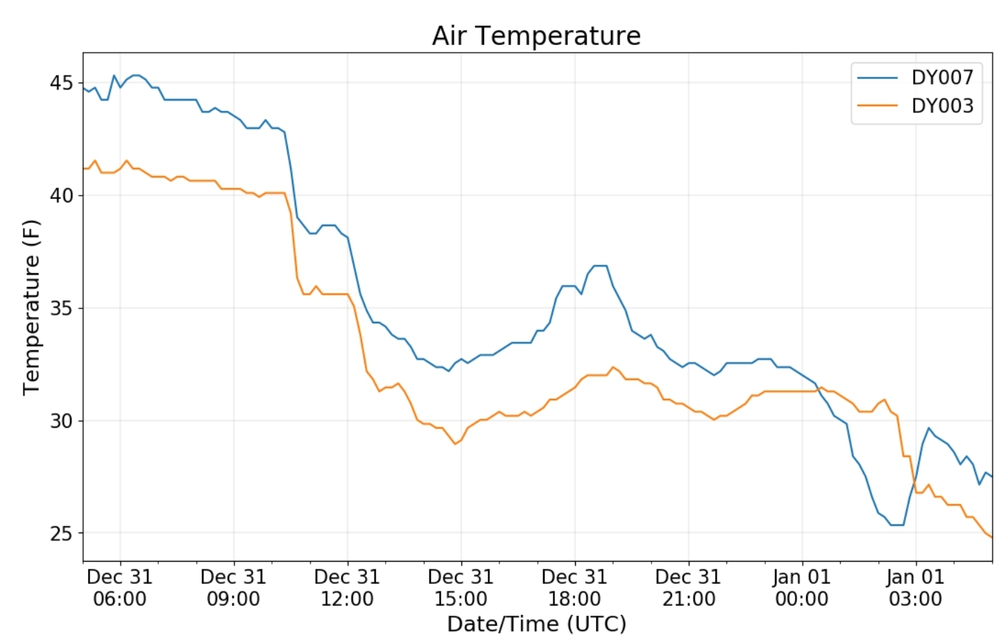
Dy007-Canaan Valley Refuge 3150′, Dy002-Cabin Mt at Bald Knob 4350′, Dy003-Cabin Mt/Sods 4035′, Dy004-Spruce Knob 4820′, Cvpw2-Climate Reference Network Canaan 3479′, KW99-Petersburg Grant County Airport 961′
The Valley vs Cabin Mt
Month
Canaan area temps
Month
High Ground Comparison
Month
Up High and Down Low
Month
Up High, High Valley, Low Valley
Month
RTMA
Radar
Satellite
Flow
Surface features and 500mb height anomalies and flow
Cranesville
This area picked up 1.5 to 2″, changeover around 6am
Oakland
MONTH OF DECEMBER
Temps
Precip


