February 9, 2021
Forest service cam with timelapse down
Feb 9( Tues)
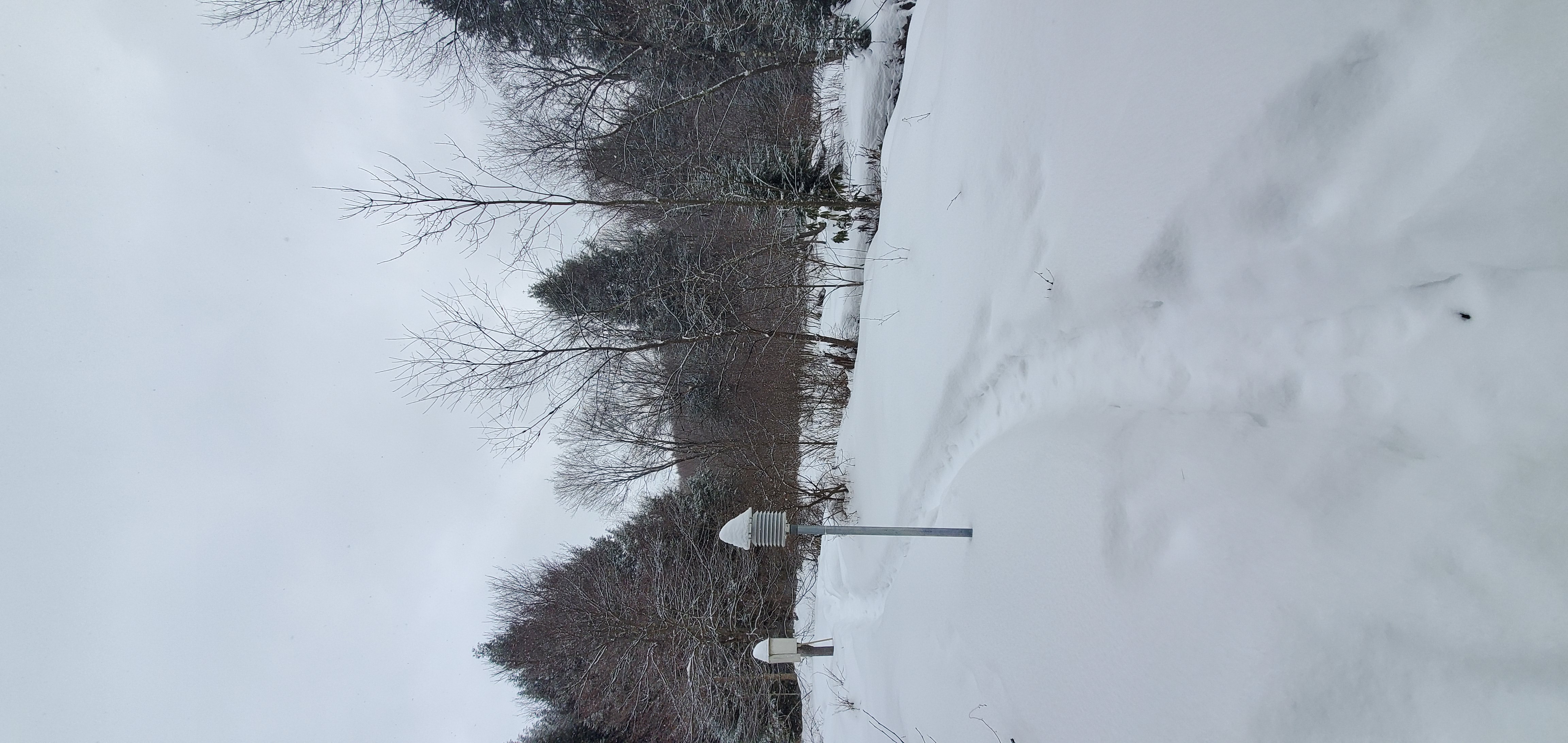
A period of mid to late morning snow and some fine snow afternoon. Most accumulation occured mid to late morning and that was light.
Bittinger 2nw Valley
near Bittinger 2nw morning 2/9/21
by Glade Church late morning 2/9/21
Foxtown Rd late morning 2/9/21
west of Bittinger morning 2/9/21
west of Bittinger late morning 2/9/21
near Bittinger 2nw late morning 2/9/21
Bittinger 2nw Valley late morning 2/9/21
Bittinger 2nw Valley late morning 2/9/21
Bittinger 2nw Valley late morning 2/9/21
Bittinger 2nw Valley late morning 2/9/21
Bittinger 2nw Valley late morning 2/9/21
Bittinger 2nw Valley late morning 2/9/21
Bittinger 2nw Valley late morning 2/9/21
Bittinger 2nw Valley afternoon 2/9/21
Bittinger 2nw Valley afternoon 2/9/21
Garrett College
Station with issues
by Deep Creek Lake morning 2/9/21
Rock Lodge Rd morning 2/9/21
Canaan Heights/Davis 3SE
2/9/21
Precip 0 7am
Year to date total precip 5.72
New snow 0 7am
Snowfall season to date 86.9
Comments and data by Dave Lesher at:
http://data.canaanmtnsnow.com
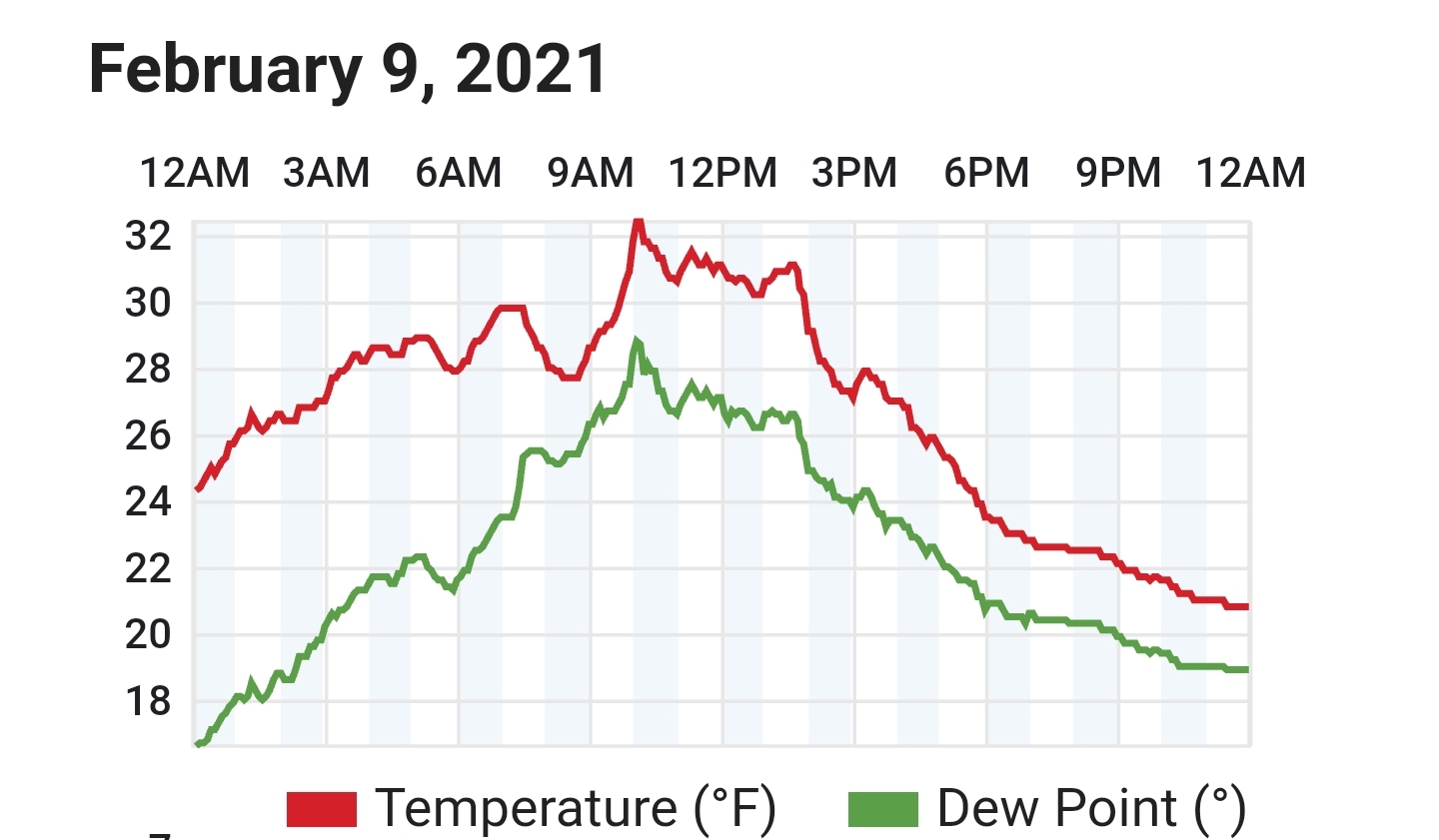
Becoming cloudy overnight with temperatures holding in the low 30s. A few snowflakes mid morning, otherwise remaining cloudy through the day
Climate Reference Network Canaan
Cabin Mt at Bald Knob
Cabin Mt-Western Sods
Spruce Knob
Canaan Valley Refuge
Mt. Davis
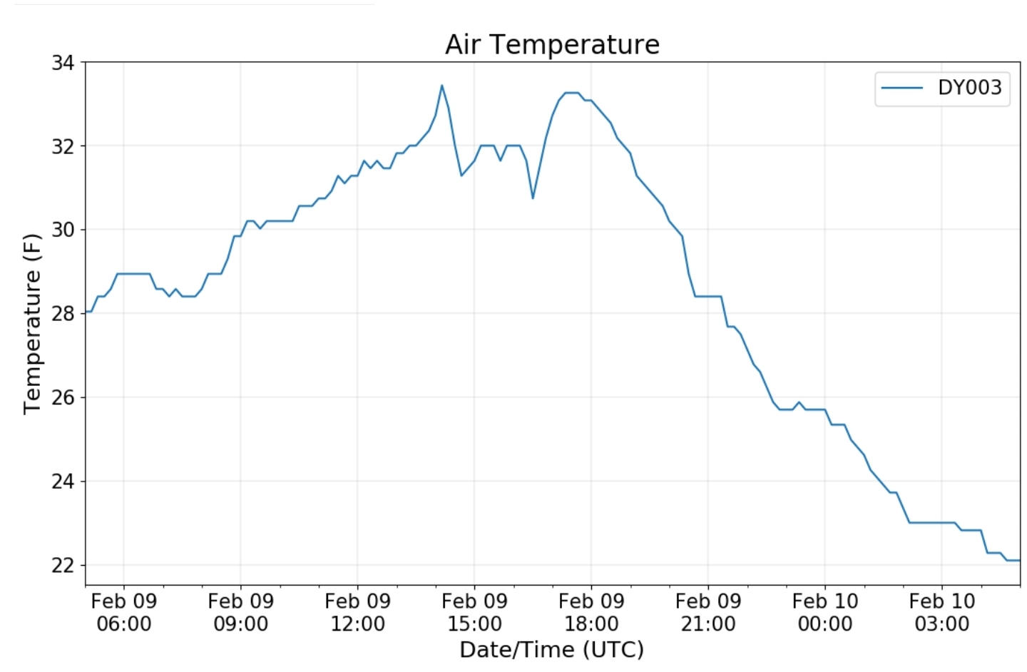
Dy007-Canaan Valley Refuge 3150′, Dy002-Cabin Mt at Bald Knob 4350′, Dy003-Cabin Mt/Sods 4035′, Dy004-Spruce Knob 4820′, Cvpw2-Climate Reference Network Canaan 3479′, KW99-Petersburg Grant County Airport 961′
The Valley vs Cabin Mt
Canaan area temps
High Ground Comparison
Up High and Down Low
Up High, High Valley, Low Valley
RTMA
Radar
Satellite
Flow
Surface features and 500mb height anomalies and flow
Oakland area


