February 14, 2021
Feb 14(Sun)
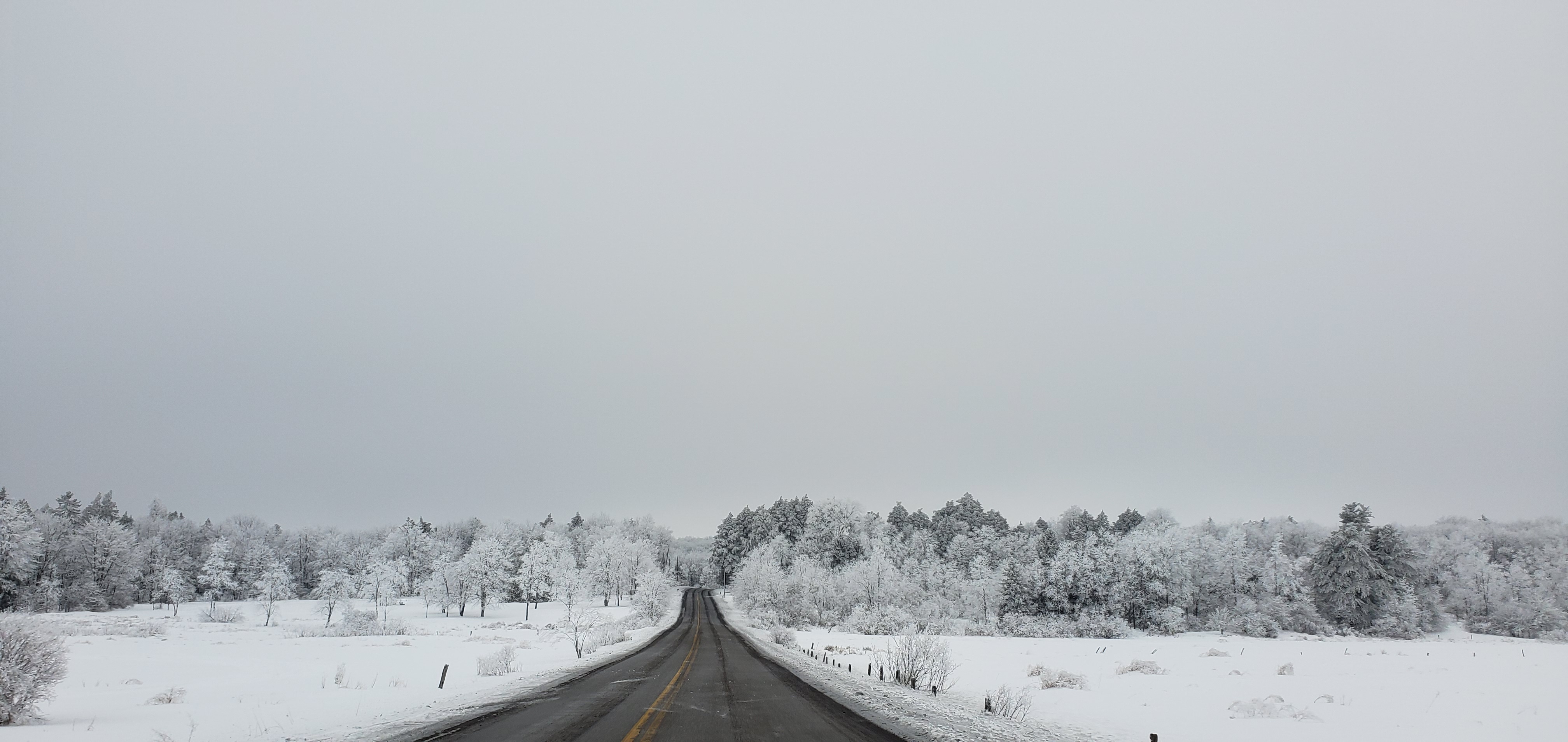
Cloudy, some high ground fog, some fine light snow..
Bittinger 2nw Valley
https://www.dropbox.com/sh/v3szikxeu4yg2z9/AADRhITO2Ek3L8xWzVgorHtia?dl=0 today’s pics all in link. When I get time I want to add some individually
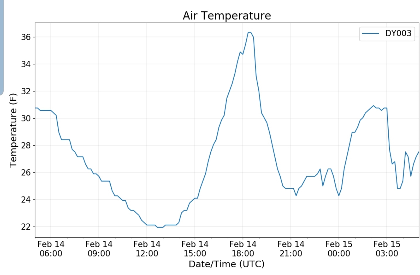
Garrett College
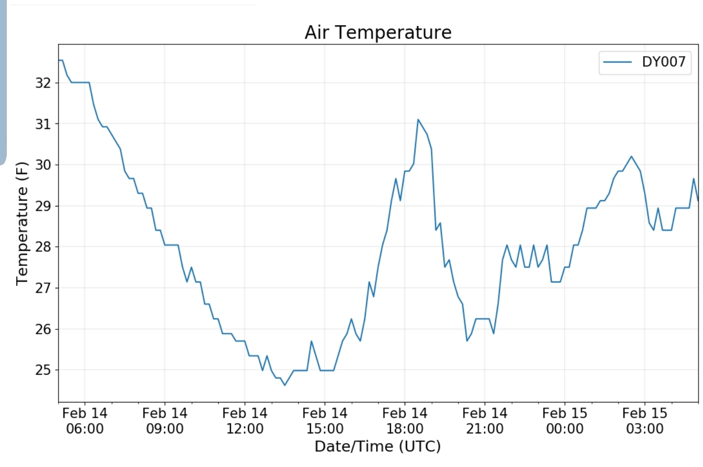
Canaan Heights/Davis 3SE
precip .06 7am
Year to date total precip 6.69
Snowfall T
Season to date total precip 92.6
Comments and data by Dave Lesher at:
Climate Reference Network Canaan
Cabin Mt at Bald Knob
Cabin Mt-Western Sods
Spruce Knob
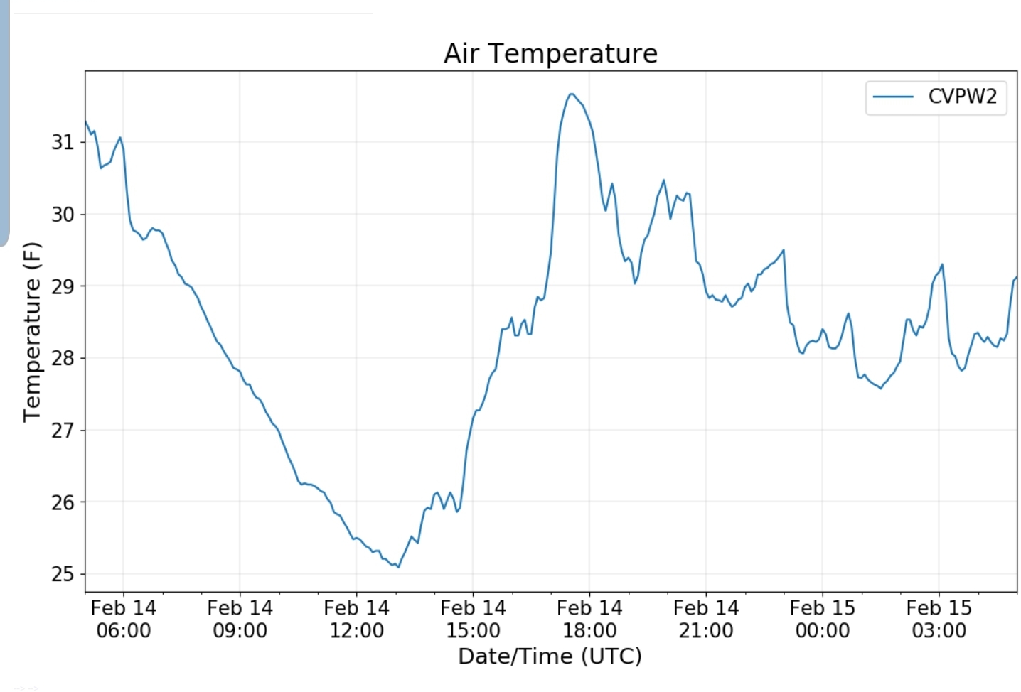
Canaan Valley Refuge
Mt. Davis
What in the name of modeling is going on?
Here we are, within 36-48 hours of what is potentially a significant ice event in some areas and modeling has some minor differences, with major implications….
Currently in Garrett, near Bittinger the rime is coated thick and very photogenic
Rime at this thickness does not carry a lot of weight….but
Does that rime melt off today, melt off tomorrow prior to the potential freezing rain??
The GFS says yes and the GFS says what freezing rain. Isolated and not much..Monday afternoon the 6z GFS runs temps above freezing, rime would rapidly fall off..
Overnight the GFS holds temps +32 across the area. Leading to a cold rain event for most.
Garrett College
Before colder air pushes in as precip lightens ending as a little snow. Minor deal winter wise. We escape any implications.
Last 2 runs of the Canadian are right on board with that setup in the beginning
Mondays meltoff with temps well into the 30s
then cold push occurs overnight from the NW, a slow bleed in. That always makes it take longer the higher in elevation you climb. It does allow for freezing rain to occur overnight after things melt off the trees, Garrett north, last over Wv high ground.
But the ECMWF (Euro) says the cold wedge is in play and holds temps below freezing Monday in the classic areas
remains below freezing overnight into Tuesday a.m
5am still below in the classic areas, before a brief spike of +32 occurs for 3-4 hours
And temps fall back by 8-9am
the euro puts out .3 to .5 liquid with temps below freezing in areas
Not only does the Euro hold the cold, check out the modeled wind gust at 1am Tuesday morning vs the GFS
Thats HUGE implications if one model has strong winds, freezing rain in areas, vs one model of almost 0 freezing rain and calm winds.
The Canadian again is on board with the GFS but oozes the cold in faster
But the 3km Nam is on board with the Euro
The 3km Nam which I love in the classic wedge setups, may or may not be on here depending if the wedge occurs. It is on board with the Euro holding cold Monday
Monday night
timeline
And it struggles with precip output, but says significant ice in areas. Putting out nearly a inch liquid
any other models to toss in. Short range mesoscale Canadian says cold Monday in the classic zone
holding into the overnight
The HRRR which has a run to 48hrs every 6 hours has cold Monday
And a fast return to the colder yet push overnight. With this scenario some areas never see +32 at any poin .
these differences are only a few degrees, but these differences are lights on or lights off in areas. If the Euro holds, thie current rime remains on the trees until the freezing rain starts, with strong east winds that will only aid in absorbing, freezing and adding circumference for the wind to catch.
If this occurs, this area is at best threat of that occuring(north central Garrett, Somerset, western Allegany-Dans Mt, and along the Allegheny Front, areas Morgantown west are mainly ice, mix risk as low level cold into those low elevations)
Orange zone best threat, yellow in the game but better risk at +32
However if the GFS scenario plays out, its mostly some cold rain, to a refreeze and then onto the next event Thursday with another complicated setup. Euro and Nam are the biggest impacts and the Candian some impact. Lets see if todays runs bring agreement. Either way I think Garrett is worthy a Winter Storm Watch and then either downgrade if it appears unlikely or upgrade if likely.


