February 15, 2021
Feb 15(Mon)
Cloudy, east wind increasing, classic cold wedge. A period of morning sleet, a break and sleet, freezing rain later in the day in the cold zones. Rain milder spots
Bittinger 2nw Valley
more pics at
https://www.dropbox.com/sh/nsmzjt1xsog3b24/AAB1ZN6iiVgCOIWTSmg0myXHa?dl=0
Garrett College
Canaan Heights/Davis 3SE
precip .01 7am
Year to date total precip 6.70
snowfall 0
Snowfall season to date 92.6
Comments and data by Dave Lesher at :
A few sprinkles of rain overnight and later in the day, temperatures slowly rising through the 30s |
Climate Reference Network Canaan
Cabin Mt at Bald Knob
Cabin Mt-Western Sods
Spruce Knob
Post made 8:02am 2/15/21
NWS out with an advisory across the board, but this is not an across the board event. Some areas impacted more than others within the advisory and the wild card that could be in play.(more further below) Patchy freezing drizzle today, (mild areas drizzle)main precip later today, this evening into tonight..
Go to https://www.weather.gov to see the latest advisory details
Ice amounts from the NWS, likely more widespread than reality will have it
Very little ice across the Wv high ground with the exception of the Allegheny Front. Thats at most a 4-6 hour affair there. The Canaan area temps at 7am this morning already at and above freezing
And mesoscale modeling pics that out well
How well is modeling doing out of the gate elsewhere
7am temps modeled at
26 off the hrrr for Garrett Airport
25 off the GFS
26 off the Euro
And 24 off the km Nam
Reality shows
And nearby Bittinger
So still a bit of a mild bias to modeling that “could” play a role later on.
Modeling holds temps in the colder zone at and below freezing today
29 and 31 off the 3km Nam and Euro for Garrett Airport
This puts into play the wild card and an overlooked concern that I dont believe the weather service is in tune with. They’re in Sterling and not on top of minute details.
That wild card
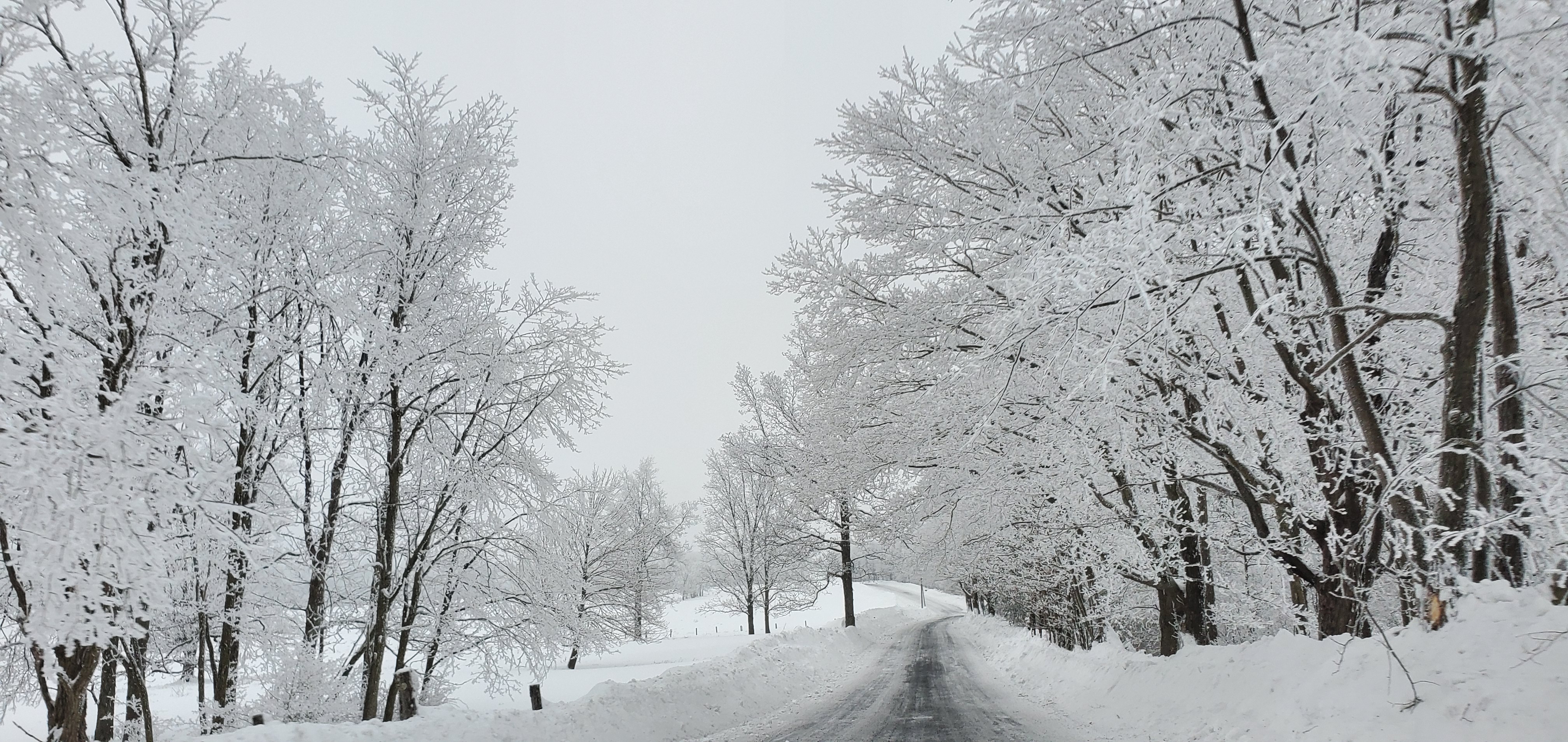
RIME…if that rime does not come off today, its heaviest on east facing areas, tonight’s wind and rain will be plastering from the east absorbing into and over already rime coated trees. That will
1- lead to less runoff before freezing into branches, adding weight
2- a greater circumference area for the winds to catch vs if the rime is not there
winds
And other modeling putting out strong easterly gust
This while temps should yet be below freezing
Thats potentially the biggest impact and currently a overlooked wild card.
Temps, the GFS milds things up by midnight in the coldest zones to a plain rain event. Unlikely, but if it should occur that will drastically reduce impacts.
At 3am the 3km Nam still with classic zone..this model isnt great at precip amounts, but great on the temp setup…it tends to excel in the setup.
The Nam, Euro hold temps at and below freezing in the coldest zones 2-am to 5am…there is usually a model bias and classic areas of eastern Garrett hold on longer.
My thoughts for evening into the overnight…
a a complicated setup with a few degrees making a world of difference. Its a lights on lights off difference. We’ve been here before and this has shifted to the classic wedge setup.
Even the coldest modeling does briefly bring temps above freezing for 2-4 hours tomorrow morning. Not by much. Then the question is, does the ice fall off before the much colder air BLOWS back in. Because it looks windy as we go through tomorrow with winds shifting NW, temps into the low to mid 20s and teens overnight tomorrow..single digits eventually.
Then Thursday is the next event. A bit colder system as it appears now with more snow and sleet involved. This event once looked like that.
Canaan Valley Refuge
Mt. Davis
Dy007-Canaan Valley Refuge 3150′, Dy002-Cabin Mt at Bald Knob 4350′, Dy003-Cabin Mt/Sods 4035′, Dy004-Spruce Knob 4820′, Cvpw2-Climate Reference Network Canaan 3479, Kw99-Petersburg Grant County Airport 961′,


