April 21, 2022
Forest Service Cam offline since 6/24/21-set to return online soon
Apr 21(Thur)
Cloudy, rain good portion of the day
Bittinger 2nw Valley
Rock Lodge Rd morning
Bittinger 2nw Valley morning
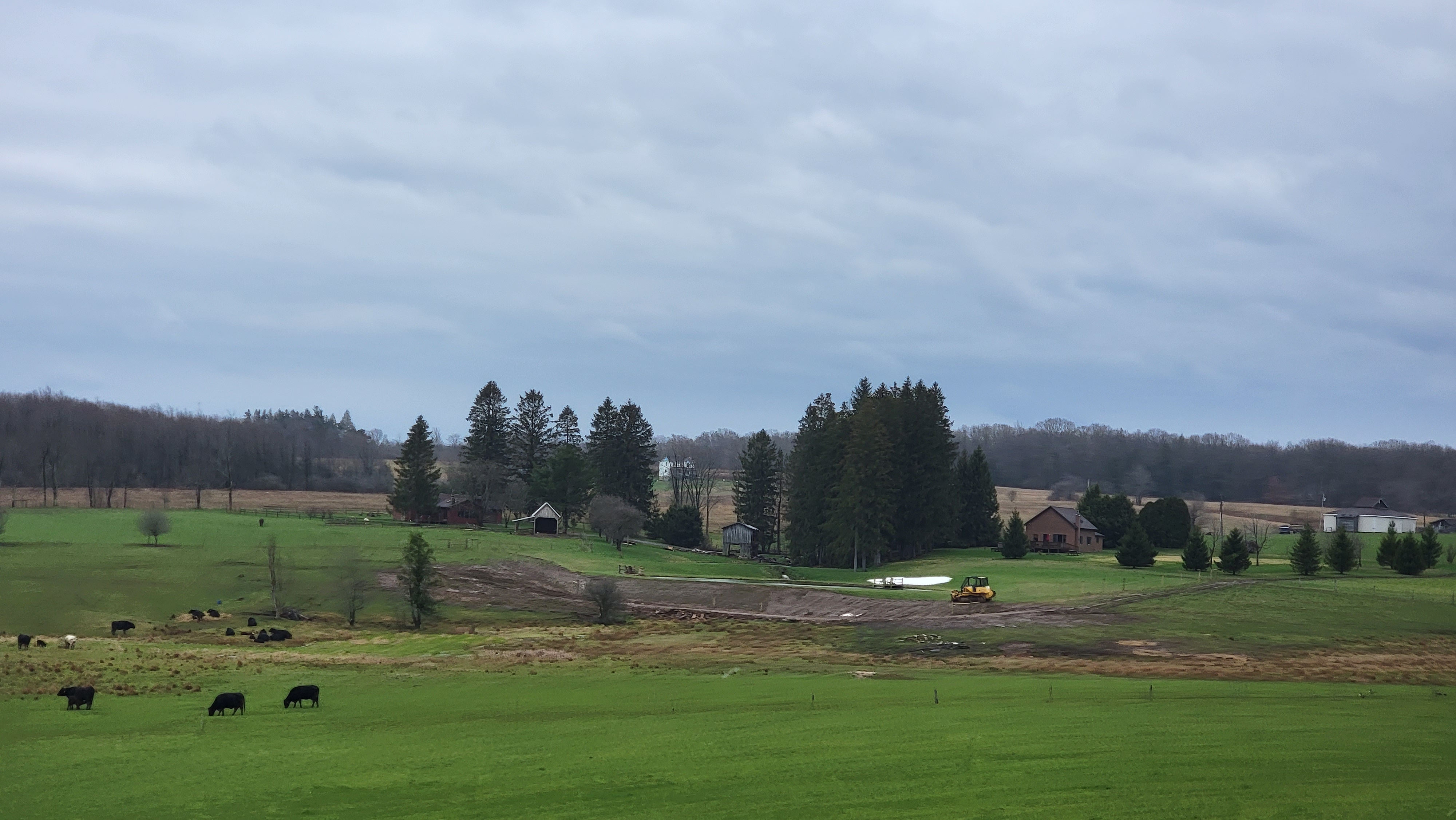
Bittinger 2nw Valley morning
Bittinger 2nw Valley morning
Bittinger 2nw Valley morning
Bittinger 2nw Valley morning
Bittinger 2nw Valley morning
Bittinger 2nw Valley morning
Bittinger 2nw Valley morning
Bittinger 2nw Valley morning
west of Bittinger morning
Foxtown Rd morning
Bittinger 2nw Valley morning
Bittinger 2nw Valley morning
Bittinger 2nw Valley morning
Bittinger 2nw Valley morning
Bittinger 2nw Valley morning
Bittinger 2nw Valley morning
Bittinger 2nw Valley morning
Bittinger 2nw Valley morning
Bittinger 2nw Valley morning
Bittinger 2nw Valley morning
Bittinger 2nw Valley morning
Bittinger 2nw Valley morning
Bittinger 2nw Valley morning
Bittinger 2nw Valley morning
Bittinger 2nw Valley morning
Bittinger 2nw Valley morning
Bittinger 2nw Valley morning
west of Bittinger afternoon
Bittinger 2nw Valley afternoon
Bittinger 2nw Valley afternoon
Bittinger 2nw Valley afternoon
Bittinger 2nw Valley afternoon
Bittinger 2nw Valley afternoon
Bittinger 2nw Valley afternoon
Bittinger 2nw Valley afternoon
Bittinger 2nw Valley afternoon
Bittinger 2nw Valley afternoon
Bittinger 2nw Valley evening
Rock Lodge Rd near The Glades evening
Garrett County Airport
Canaan Heights/Davis 3SE
comments and data by Dave Lesher at:
http://data.canaanmtnsnow.com/
Climate Reference Network Canaan
Atop Canaan Ski area
Cabin Mt at Bald Knob
Cabin Mt-Western Sods
Spruce Knob
Canaan Valley Refuge
Petersburg Grant County Airport
Elkins Airport
Dy007-Canaan Valley Refuge 3150′, Dy002-Cabin Mt at Bald Knob 4350′, Dy003-Cabin Mt-Western Sods 4035′, Dy004-Spruce Knob 4820′, Cvpw2-Climate Reference Network Canaan 3380′, KW99-Petersburg Grant County 961′, K2G4 Garrett County Airport 2933′, KCBE Cumberland Airport 774′, KEKN Elkins Airport 1981′, KMGW Morgantown Airport 1227′
The Valley vs Cabin Mt
Canaan area temps
High Ground Comparison
Up High and Down Low
Up High, High Valley, Low Valley
The Valleys
RTMA
Radar
Satellite
Flow
Surface features and 500mb Height anomalies and flow
Cranesville