May 26, 2023
Forest Service Cam offline since 6/24/21
May 26(Fri)
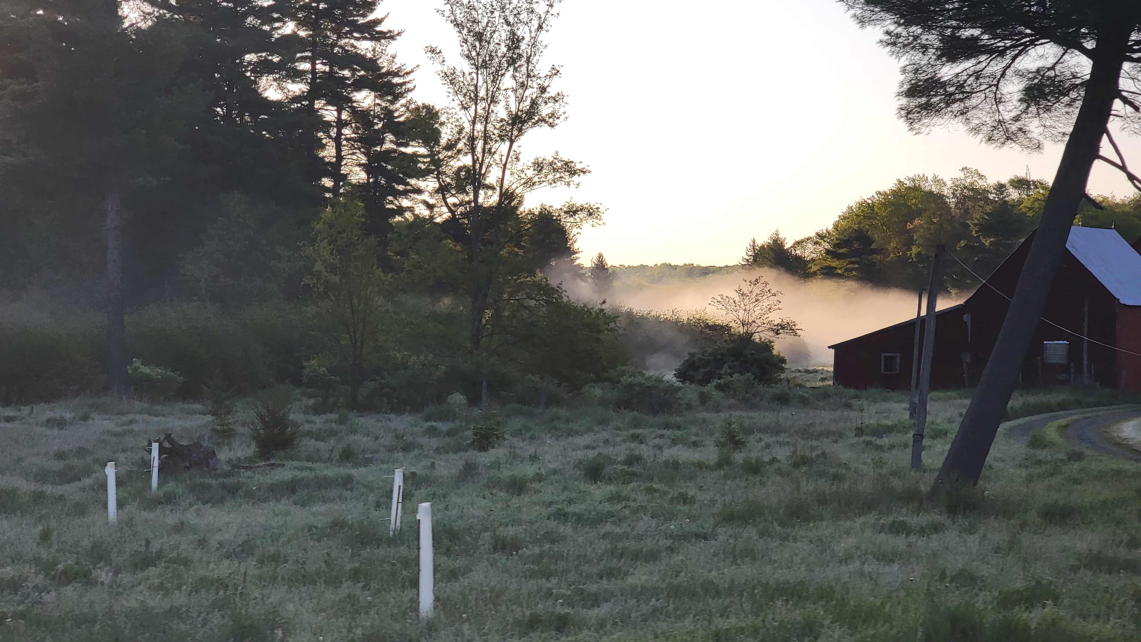
Frosty start in many areas. Some of the typical suspects, winds held up thwarting frost. Not the case though for many.
Bittinger 2nw Valley
Foxtown Rd morning
west of Bittinger morning
west of Bittinger morning
near Bittinger 2nw Valley morning
Bittinger 2nw Valley morning, all frost
Bittinger 2nw Valley morning
Bittinger 2nw Valley morning-frozen water beads
Bittinger 2nw Valley morning
Bittinger 2nw Valley morning
Bittinger 2nw Valley morning
Bittinger 2nw Valley morning
west of Bittinger morning
Rock Lodge Rd near The Glades
Rock Lodge Rd near The Glades morning
Aciident-Bittinger Rd midday
Accident-Bittinger Rd midday
west of Bittinger midday
Bittinger 2nw Valley midday
Bittinger 2nw Valley midday
Bittinger 2nw Valley midday
The Glades
Garrett County Airport
Rock Lodge Rd morning
Rock Lodge Rd morning
Rock Lodge Rd morning
Rock Lodge Rd morning
Rock Lodge Rd morning
Rock Lodge Rd morning
Deep Creek Lake morning
Top of Wisp
Canaan Heights/Davis 3SE
Climate Reference Network Station
Atop Canaan Ski area
Cabin Mt at Bald Knob
Cabin Mt-Western Sods
Spruce Knob
Canaan Valley Refuge
Mt.Davis
Snowshoe
Petersburg Grant County Airport
Elkins Airport
Dy007-Canaan Valley Refuge 3150′, Dy002-Cabin Mt at Bald Knob 4350′, Dy003-Cabin Mt-Western Sods 4035′, Dy004-Spruce Knob 4820′, Cvpw2-Climate Reference Network Canaan 3380′, KW99-Petersburg Grant County Airport 961, K2G4 Garrett County Airport 2933′, KCBE Cumberland Airport 774′, KEKN Elkins Airport 1985′, KMGW Morgantown Airport 1227′, PMN16-Mt.Davis 3038′, KDCA-Reagan National 15′, G1472 Snowshoe 4500′, F0183 Burkes Garden 3050′
The Valley vs Cabin Mt
Canaan area temps
High Ground Comparison
Up High and Down Low
Up High, High Valley, Low Valley
The Valleys
Wv High Ground Cold Spots vs DCA
RTMA
Radar
Satellite
Flow
Surface Features and 500mb Height Anomalies and Flow
Grantsville
Savage Mt
view east-Sideling Hill in view
Lavale
Flintstone


